Uploads by Neteler
Jump to navigation
Jump to search
This special page shows all uploaded files.
| Date | Name | Thumbnail | Size | Description | Versions |
|---|---|---|---|---|---|
| 19:53, 23 August 2007 | Grass63 startup3.png (file) |  |
120 KB | 1 | |
| 17:32, 19 January 2014 | OSGeo code sprint2014.png (file) | 123 KB | 1 | ||
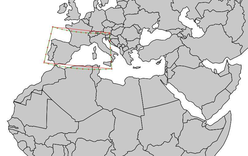
| 22:39, 10 May 2014 | V proj result.png (file) |  |
125 KB | v.proj example: result of LatLong to EU LAEA (EPSG 3035) projection. Use of v.split is mandatory | 1 |
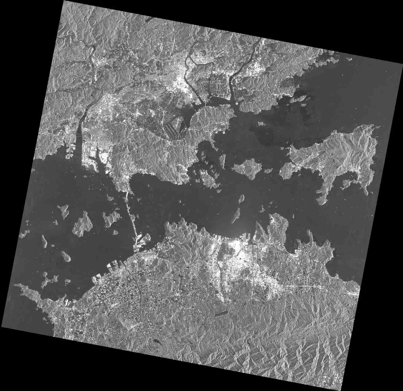
| 23:04, 15 February 2012 | PASL1500701140134440805020299B.jpg (file) |  |
128 KB | PALSAR raw data screenshot | 1 |
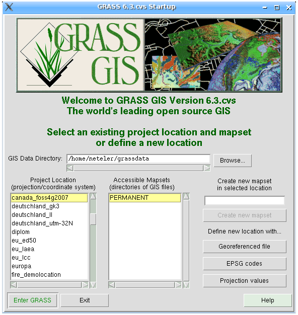
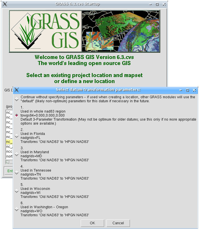
| 19:53, 23 August 2007 | Grass63 startup1.png (file) |  |
129 KB | 1 | |
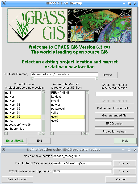
| 19:53, 23 August 2007 | Grass63 startup2.png (file) |  |
130 KB | 1 | |
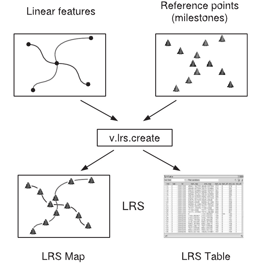
| 09:04, 12 September 2012 | Lrs creation.png (file) |  |
139 KB | Fixed figure | 2 |
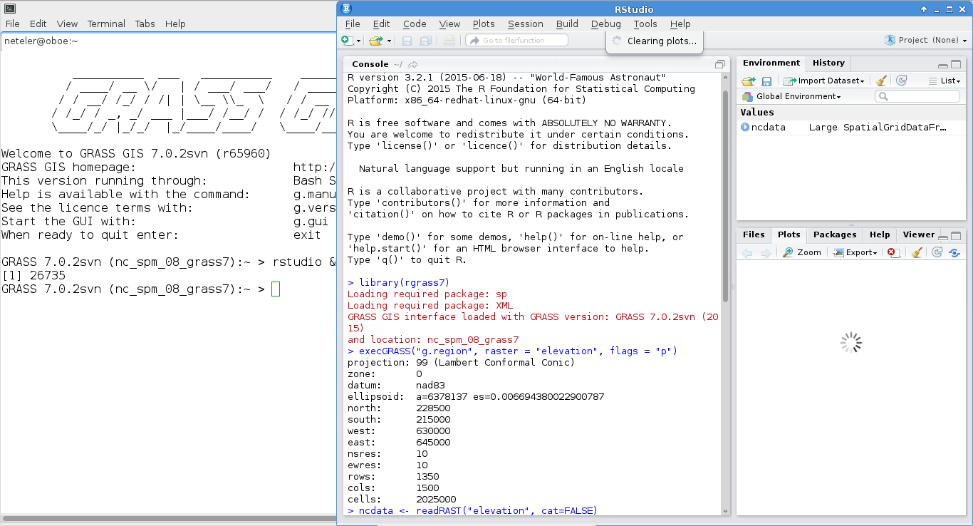
| 13:27, 18 August 2015 | Grass7 rstudio.png (file) |  |
145 KB | RStudio used in GRASS GIS 7 session | 1 |
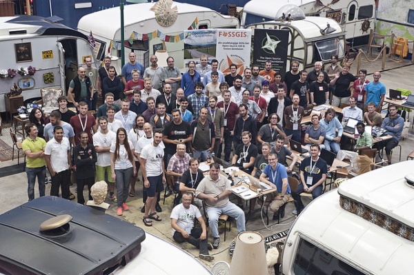
| 09:32, 20 September 2017 | 600px-FOSS4G OSGeo Code Sprint group photo.jpg (file) |  |
147 KB | FOSS4G 2016 Code Sprint, Bonn. Source: https://wiki.osgeo.org/images/thumb/a/a2/FOSS4G_OSGeo_Code_Sprint_group_photo.jpg/ | 1 |
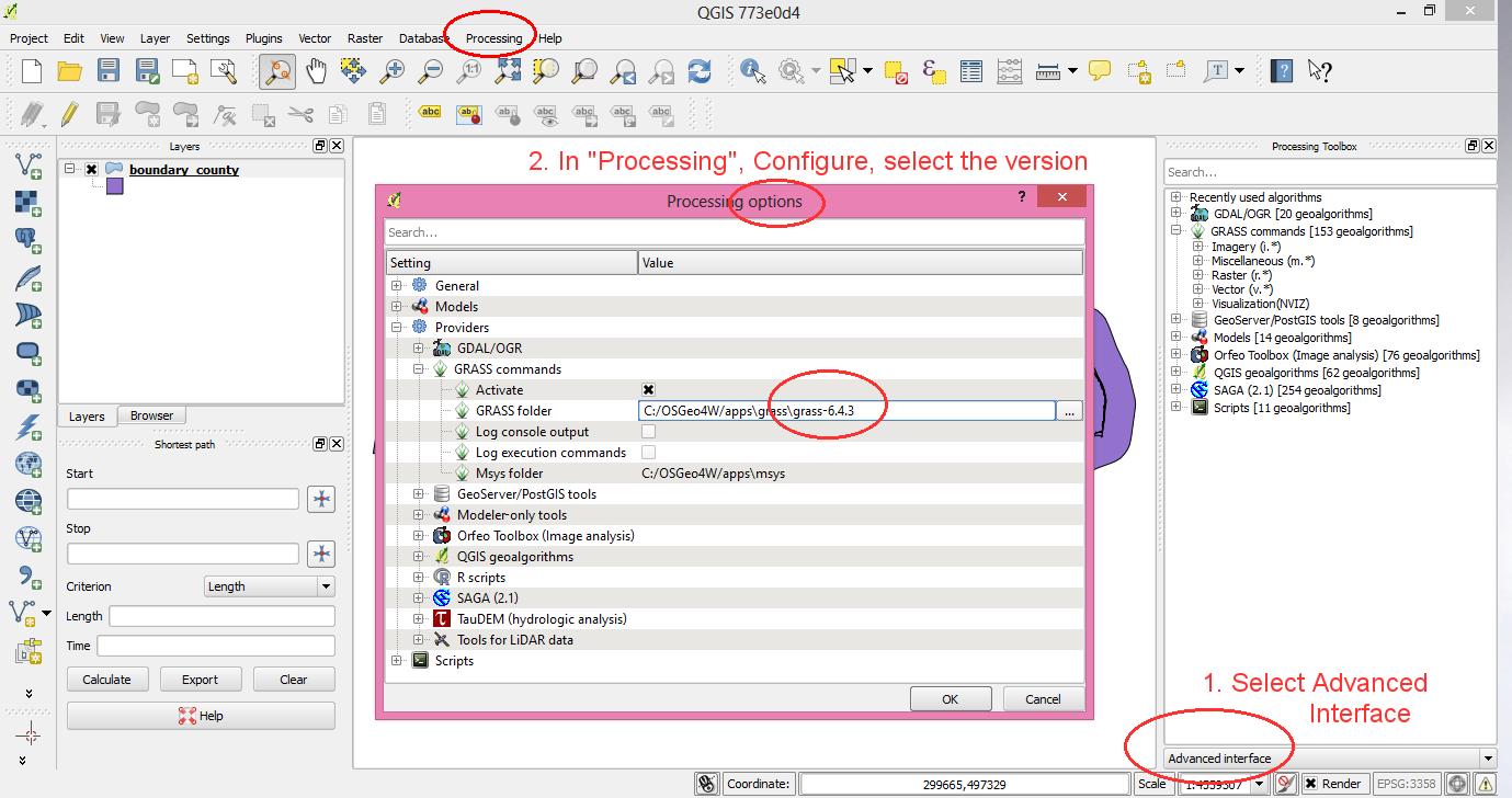
| 19:11, 2 October 2013 | QGIS2.0.1 processing grass version selector.jpg (file) |  |
150 KB | QGIS 2 with GRASS GIS support in "Processing" (former Sextante) | 1 |
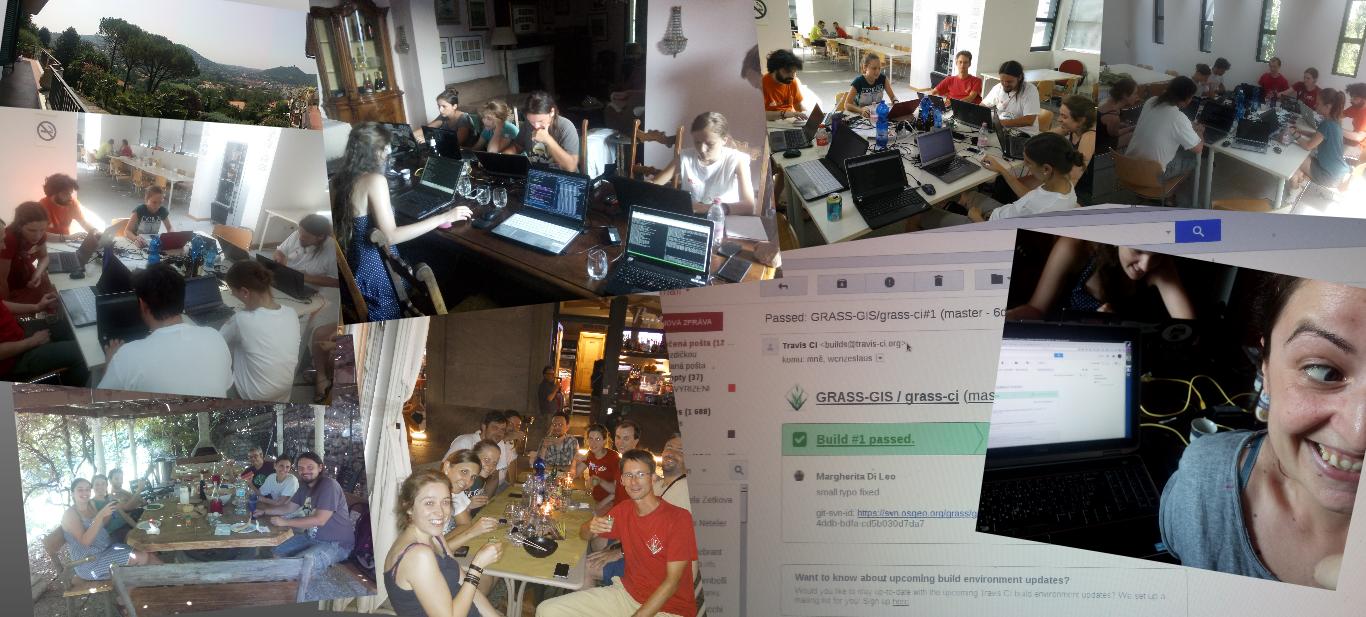
| 17:47, 20 July 2015 | Community sprint2015 fotowall.jpg (file) |  |
151 KB | GRASS GIS Community Sprint 2015: Como, Italy | 1 |
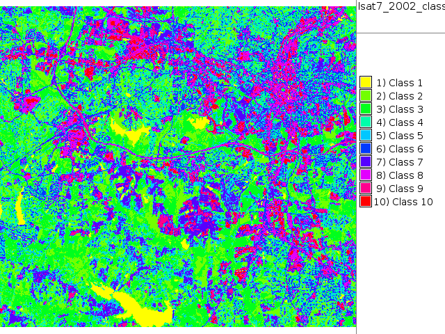
| 18:42, 26 September 2011 | Map lsat7 2002 class.png (file) |  |
164 KB | NC Landsat map 2002 - unsupervised classification | 1 |
| 16:36, 1 September 2012 | Qgis sextante plugin grass gis.png (file) |  |
165 KB | Sextante-GRASS GIS support in QGIS | 1 |
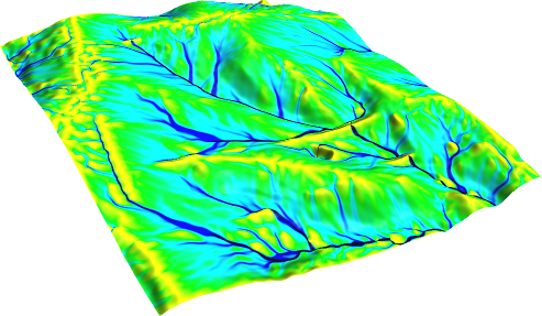
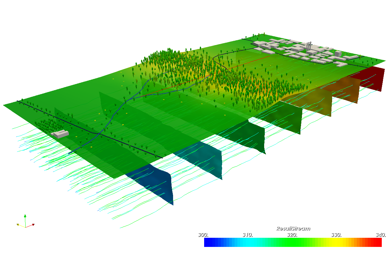
| 07:33, 29 August 2011 | Flowacc nviz.png (file) |  |
171 KB | Flow accumulation(NC dataset) with Multiple Flow Direction: # set computational region to map g.region rast=elev_lid792_1m -p # -f for MFD r.watershed -f elevation=elev_lid792_1m accumulation=flowacc # check map list g.list rast # show metadata r.info | 1 |
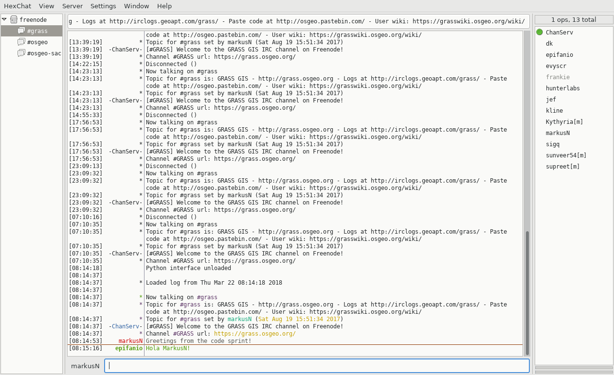
| 07:16, 22 March 2018 | Hexchat IRC client.png (file) |  |
171 KB | 1 | |
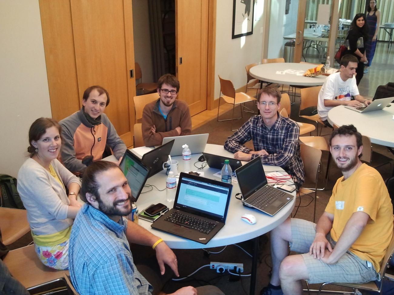
| 01:07, 14 September 2014 | Portland2014 grassgis7 code sprint.jpg (file) |  |
173 KB | GRASS GIS 7 sprint team at FOSS4G 2014, Portland (OR), USA | 1 |
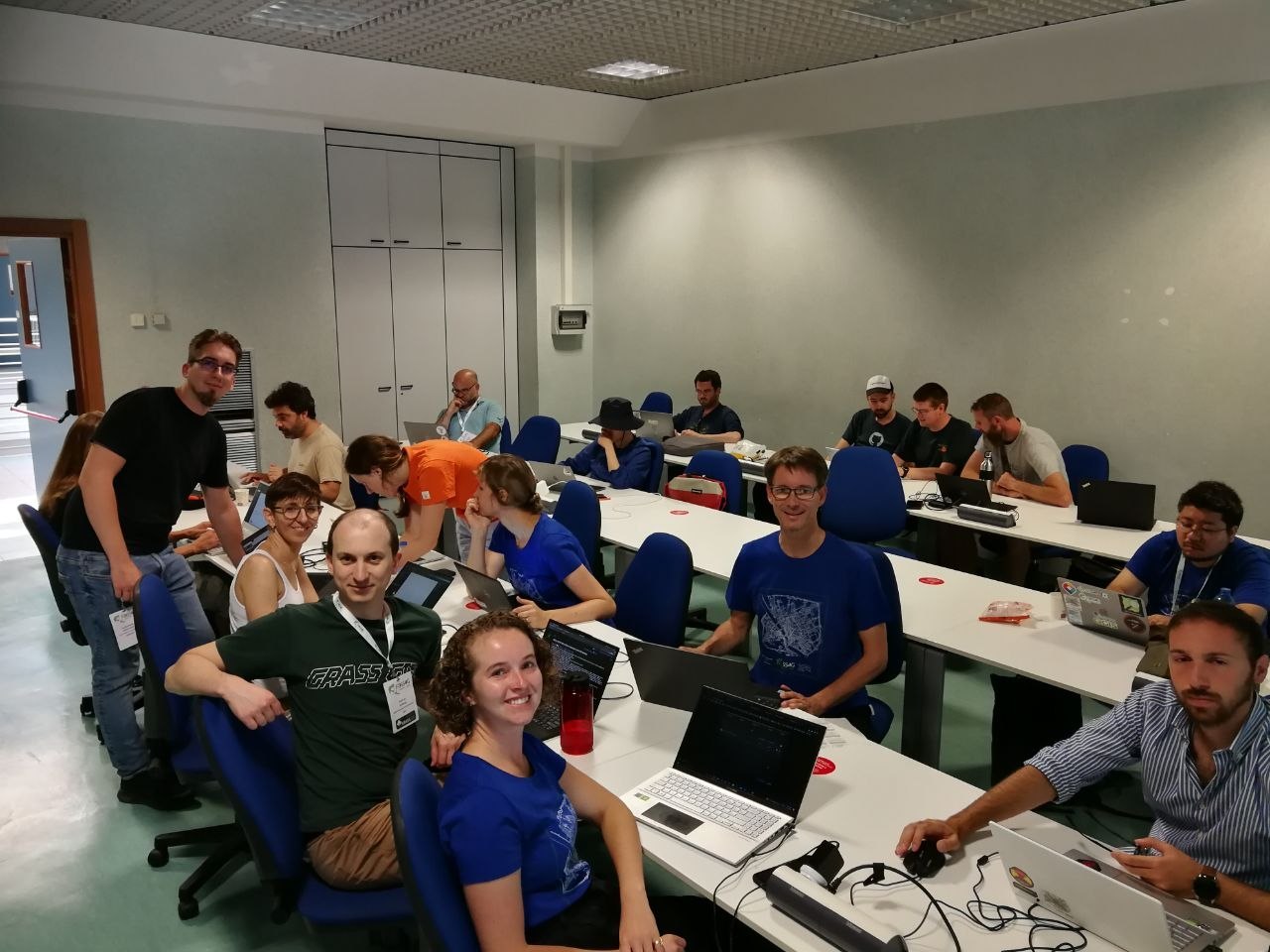
| 18:46, 27 August 2022 | FOSS4G2022 Florence sprint aug 27.jpg (file) |  |
176 KB | GRASS GIS Code Sprint at FOSS4G2022 Florence, Aug 27 | 1 |
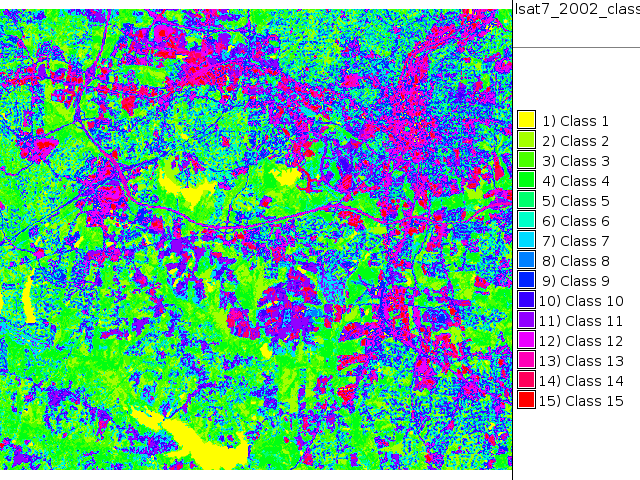
| 18:53, 26 September 2011 | Map lsat7 2002 class unsupervised 15.png (file) |  |
182 KB | NC Landsat map 2002 - unsupervised classification 15 classes | 1 |
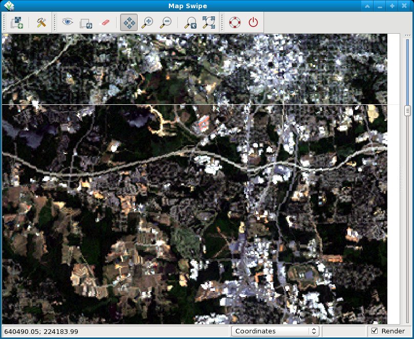
| 20:15, 16 August 2012 | NC landsat map swipe.jpg (file) |  |
189 KB | Comparison of Landsat5/1987 and Landsat7/2002 near Raleigh, NC, USA | 1 |
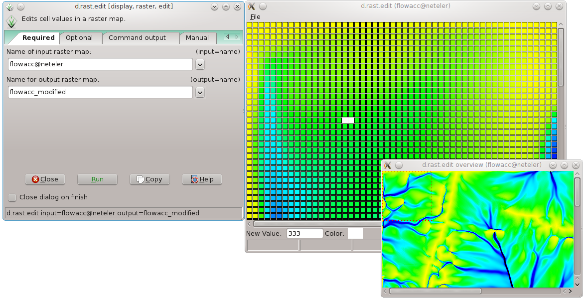
| 21:33, 30 May 2012 | D rast edit grass7.png (file) |  |
198 KB | Raster map editor in GRASS 7 | 1 |
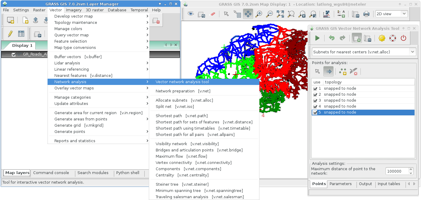
| 15:26, 18 October 2015 | Grass7 vector network tool alloc.png (file) |  |
211 KB | Network analysis tool | 1 |
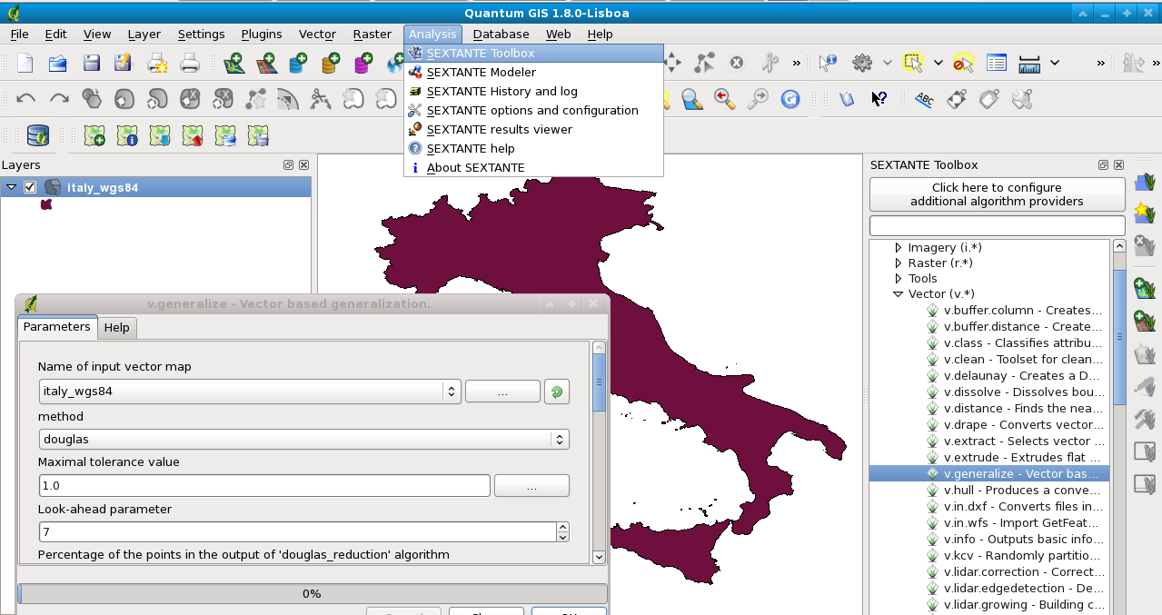
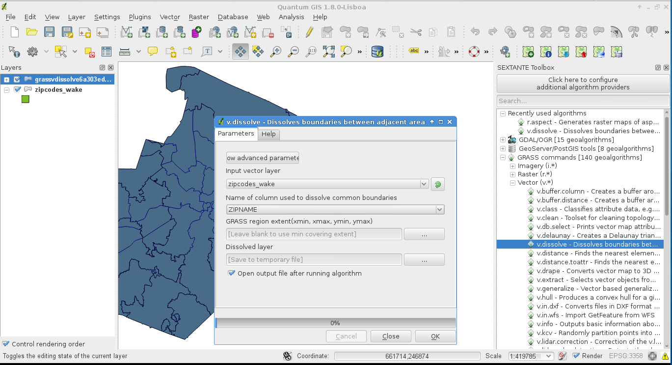
| 21:10, 24 May 2013 | Sextante grass v dissolve.png (file) |  |
211 KB | Vector map dissolving using a string attribute column (GRASS via Sextante in QGIS) | 1 |
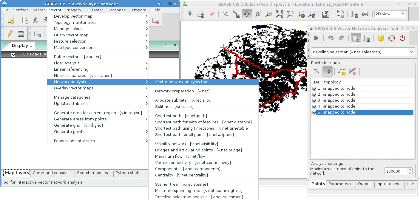
| 15:27, 18 October 2015 | Grass7 vector network tool salesman.png (file) |  |
216 KB | Network analysis tool | 1 |
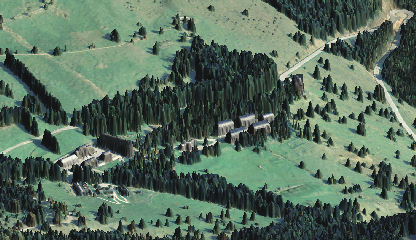
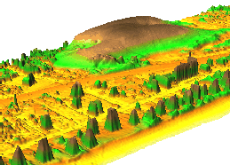
| 10:32, 4 April 2009 | Cea bondone ortho lidar dsm small.png (file) |  |
216 KB | Test upload (NVIZ) | 1 |
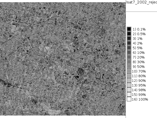
| 18:44, 26 September 2011 | Map lsat7 2002 reject.png (file) |  |
237 KB | NC Landsat map 2002 - unsupervised classification rejection map | 1 |
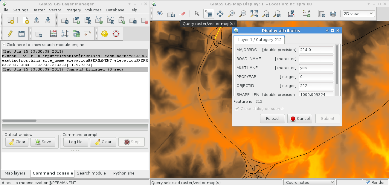
| 21:03, 15 June 2013 | Wxgui map query tool.png (file) |  |
256 KB | Raster and vector map query (select map to query in layer manager) | 1 |
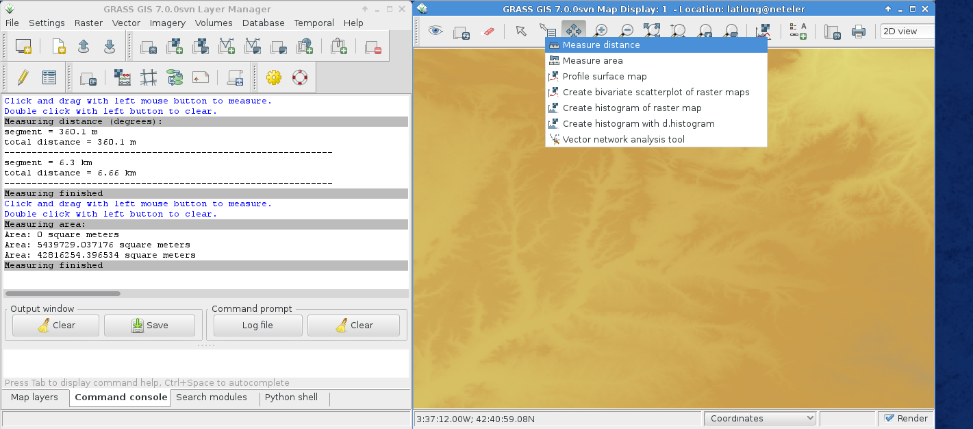
| 20:06, 13 October 2014 | Wxgui map measure tool.png (file) |  |
268 KB | wxGUI: Lines and area measurements | 1 |
| 17:56, 22 March 2009 | Wxgui proposal.png (file) |  |
295 KB | wxGUI Layout modification proposal | 1 |
| 13:28, 24 October 2011 | LausanneDemoDataset3dParaview 4.png (file) |  |
299 KB | With author's permission: http://www-pool.math.tu-berlin.de/~soeren/grass/modules/screenshots/LausanneDemoDataset3dParaview_4.png | 1 |
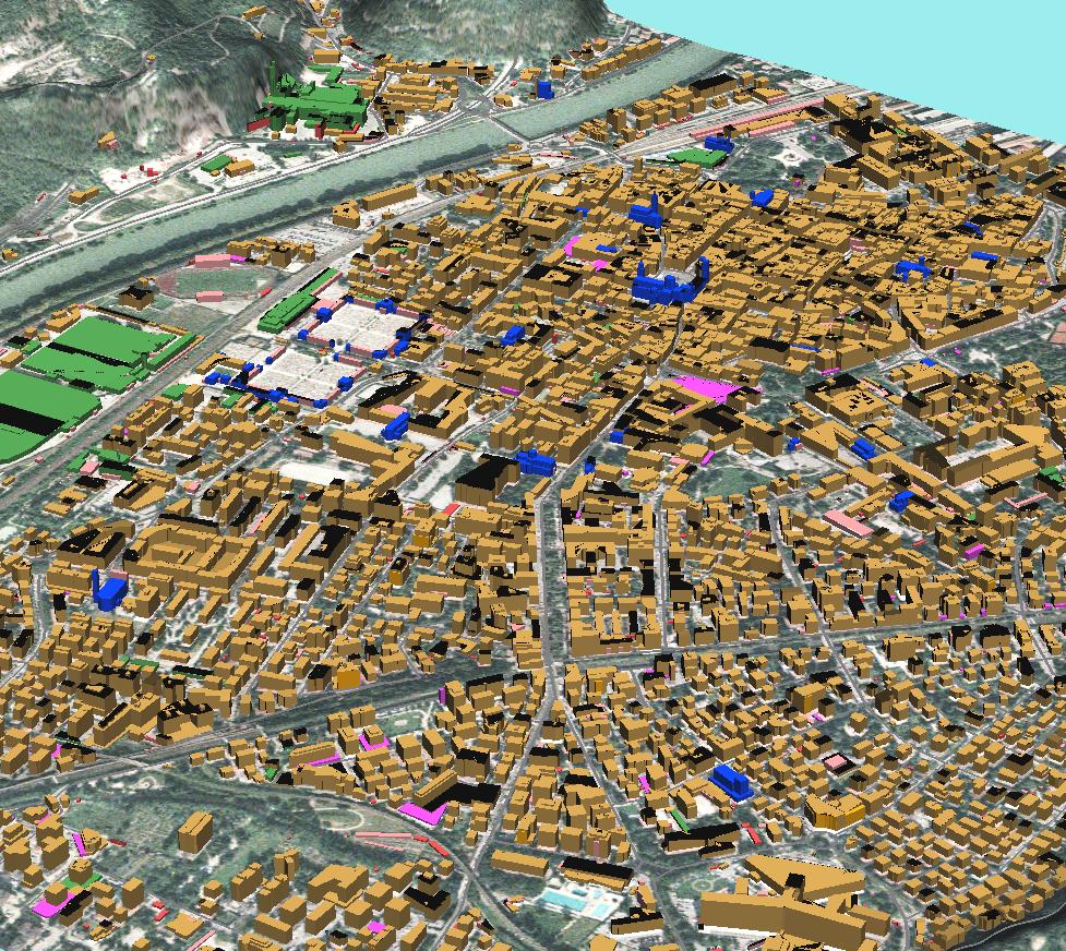
| 14:31, 24 November 2011 | Trento3d colors.jpg (file) |  |
316 KB | GRASS: building footprints extruded to 3D blocks, colorized by building type screenshot: M. Neteler (data courtesy City of Trento, Italy - http://webapps.comune.trento.it/ambiente/?LANG=it, see "Mostra Strumenti Dati" for geodata download) | 1 |
| 13:42, 3 June 2010 | Grass povray rendering.png (file) |  |
318 KB | Example for rendering | 1 |
| 11:26, 2 September 2014 | Contour lines from DEM.png (file) |  |
323 KB | 10m contour lines derived from elevation model (NC location) | 1 |
| 17:17, 23 February 2016 | GRASS GIS contributors meetings in San Michele February 2016.jpg (file) |  |
343 KB | 1 | |
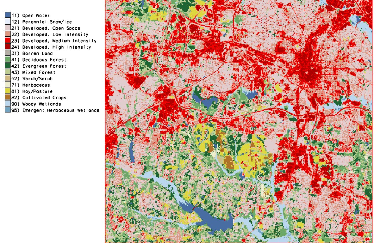
| 11:42, 14 August 2022 | North Carolina landuse 2019 Raleigh area.jpeg (file) |  |
376 KB | Source: https://www.lib.ncsu.edu/gis/nlcd | 1 |
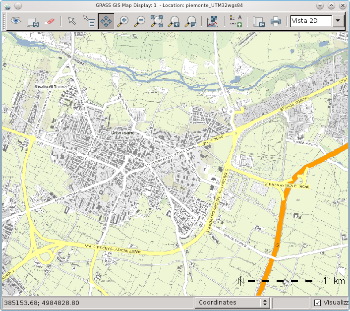
| 13:14, 27 March 2012 | WxGUI and Piedmont (Italy) WMS.png (file) | _WMS.png) |
379 KB | Piedmont (Italy) WMS data in wxGUI | 1 |
| 08:40, 10 November 2014 | NagsHead.gif (file) |  |
405 KB | ... from http://fatra.cnr.ncsu.edu/temporal-grass-workshop/NagsHead.gif | 1 |
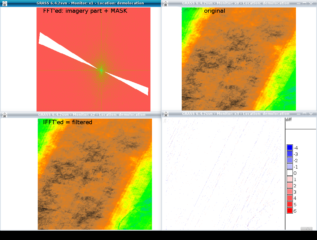
| 12:06, 29 July 2011 | Grass image destriping with FFT.png (file) |  |
434 KB | 2 | |
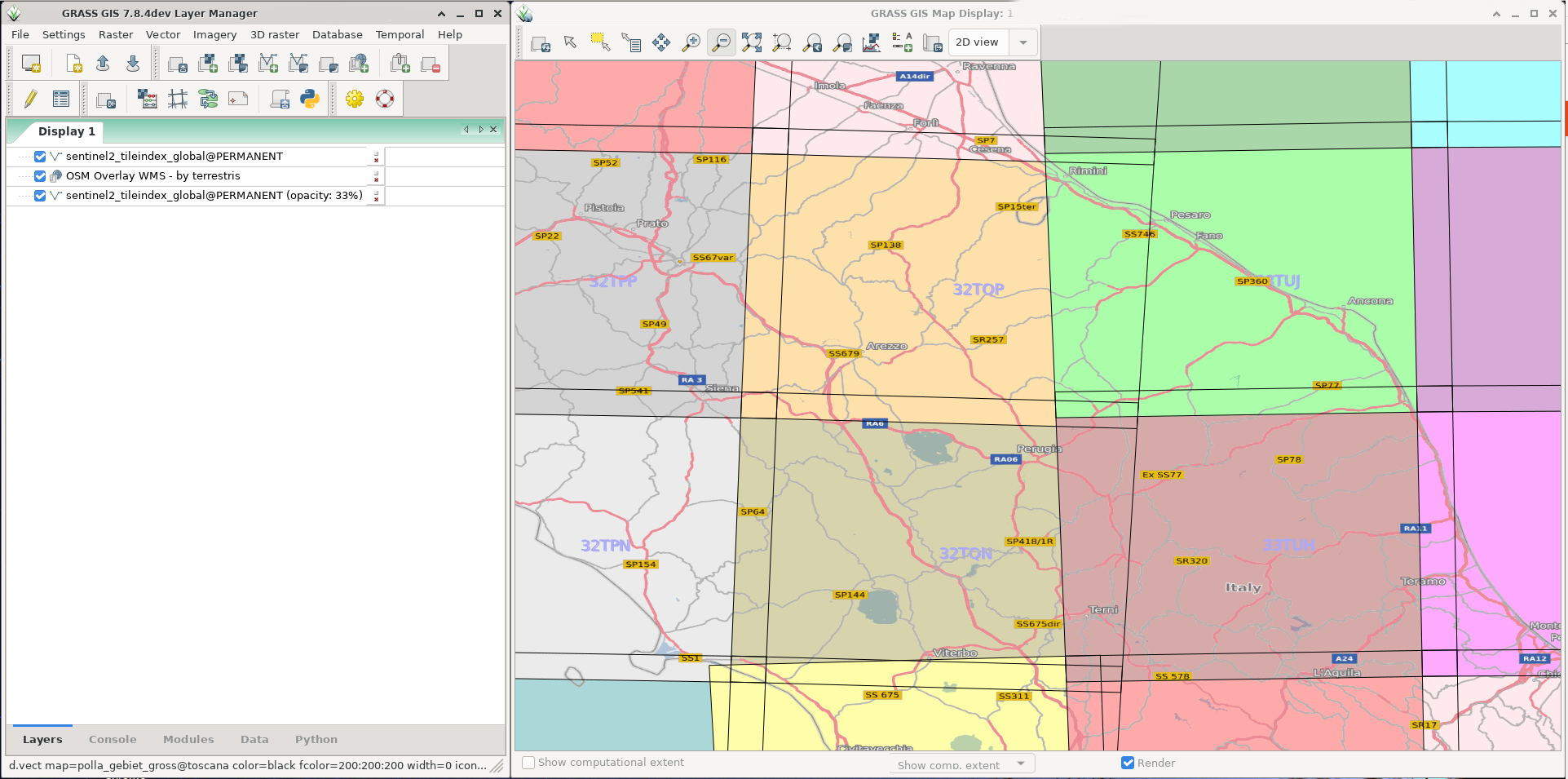
| 15:05, 8 June 2020 | Sentinel2 tiles.png (file) |  |
448 KB | 1 | |
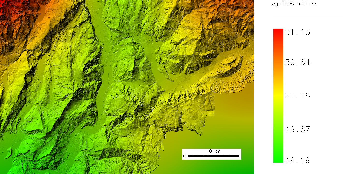
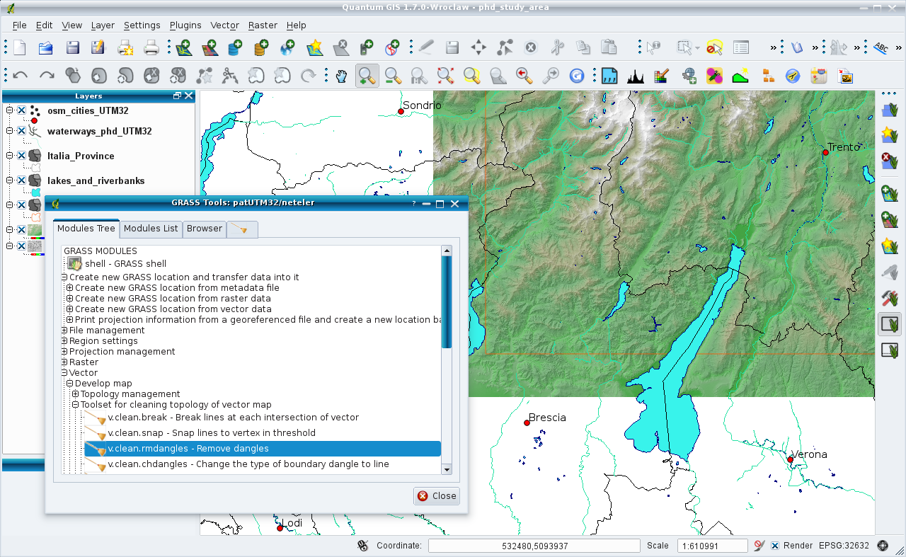
| 20:26, 27 October 2011 | Trentino egm2008 map 5m resampled.jpg (file) |  |
452 KB | Geoid undulations in Trentino, dereived from EGM2008 GIS Data (http://earth-info.nga.mil/GandG/wgs84/gravitymod/egm2008/egm08_gis.html) by resampling them with cubic convolution higher than original resolution | 1 |
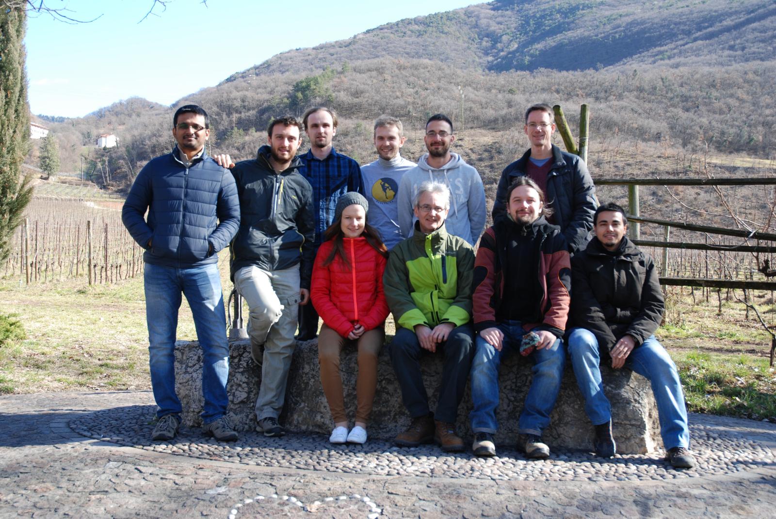
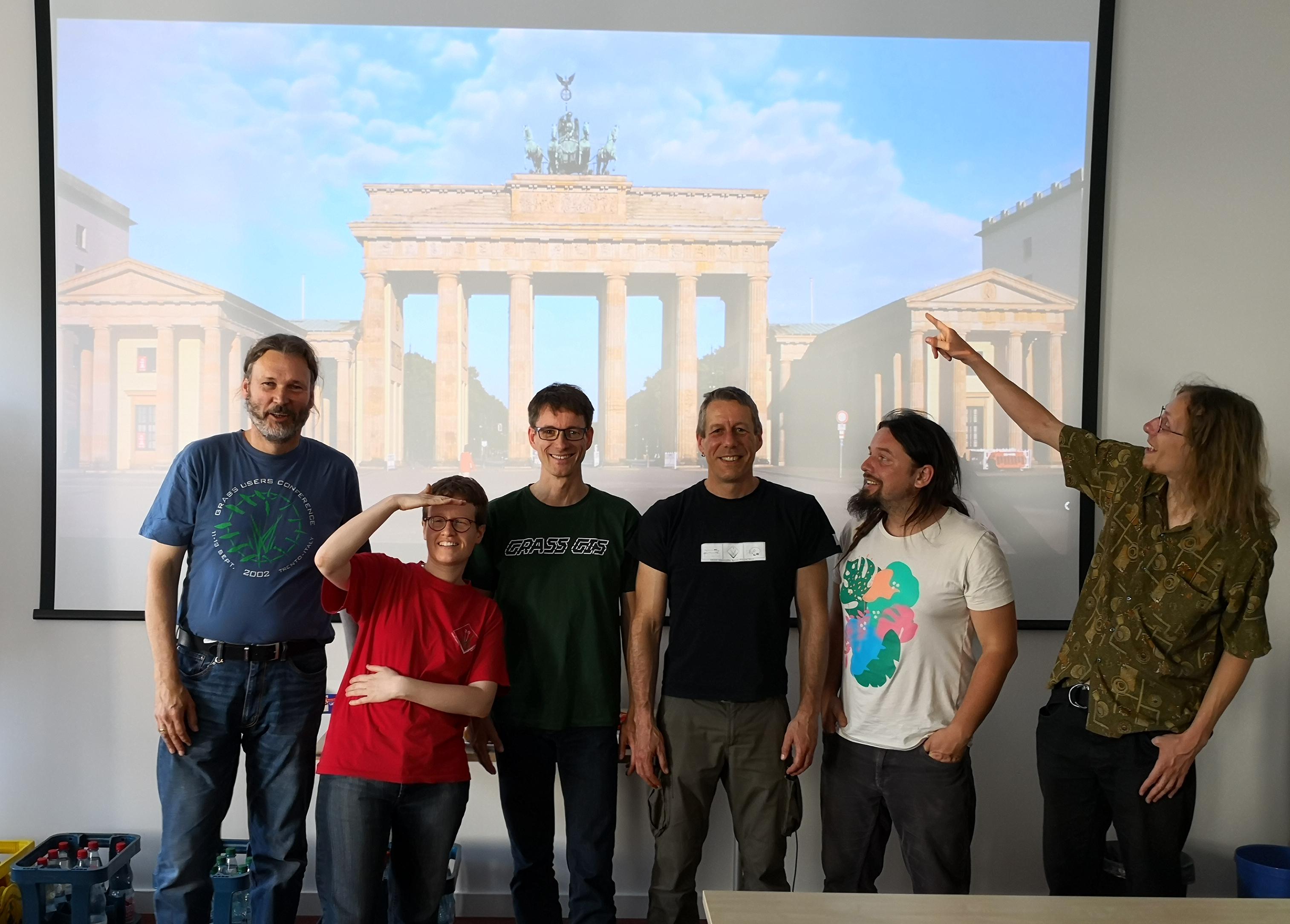
| 15:54, 19 May 2019 | Grassgis 2019 berlin sprint group photo.jpg (file) |  |
461 KB | GRASS GIS community sprinters at DIW Berlin, 2019 | 1 |
| 15:10, 25 April 2009 | Nc buildings stereo.png (file) |  |
500 KB | Paraview rendered stereo vision of North Carolina data set buildings | 2 |
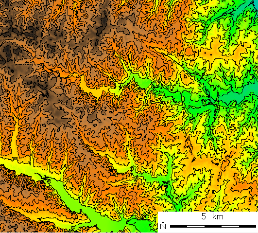
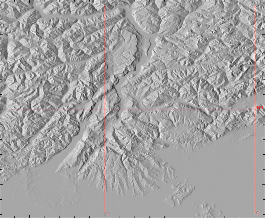
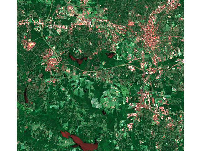
| 14:22, 1 December 2011 | Gmted2010 30N000E 20101117 shaded.png (file) |  |
535 KB | Global Multi-resolution Terrain Elevation Data 2010 (GMTED2010) example: Trento - Garda Lake - Verona area (Northern Italy): | 1 |
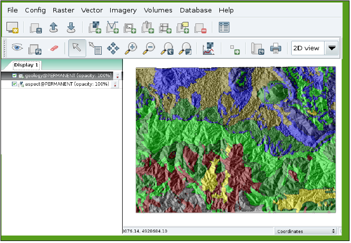
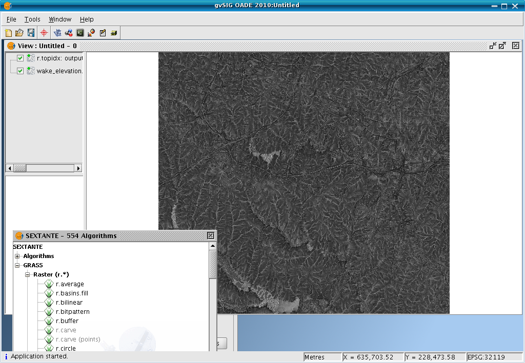
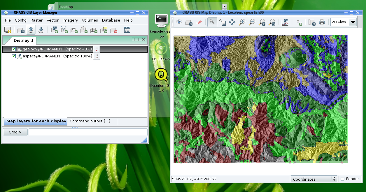
| 22:58, 15 April 2011 | GvSIG OADE sextante rtopidx.png (file) |  |
556 KB | 1 | |
| 13:28, 24 October 2011 | LausanneDemoDataset3dParaview 10.png (file) |  |
601 KB | With author's permission: http://www-pool.math.tu-berlin.de/~soeren/grass/modules/screenshots/LausanneDemoDataset3dParaview_10.png | 1 |
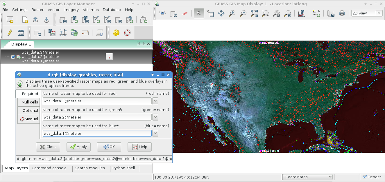
| 22:00, 4 January 2014 | WCS import with r external.png (file) |  |
604 KB | Import of WCS via r.external, display with RGB viewer | 1 |
| 18:40, 26 September 2011 | Map lsat7 2002 r1g5b7.png (file) |  |
687 KB | NC Landsat map 2002 - false color composite | 1 |
| 16:06, 5 June 2011 | QGIS17 GRASS64.png (file) |  |
696 KB | GRASS Toolbox in QGIS | 1 |
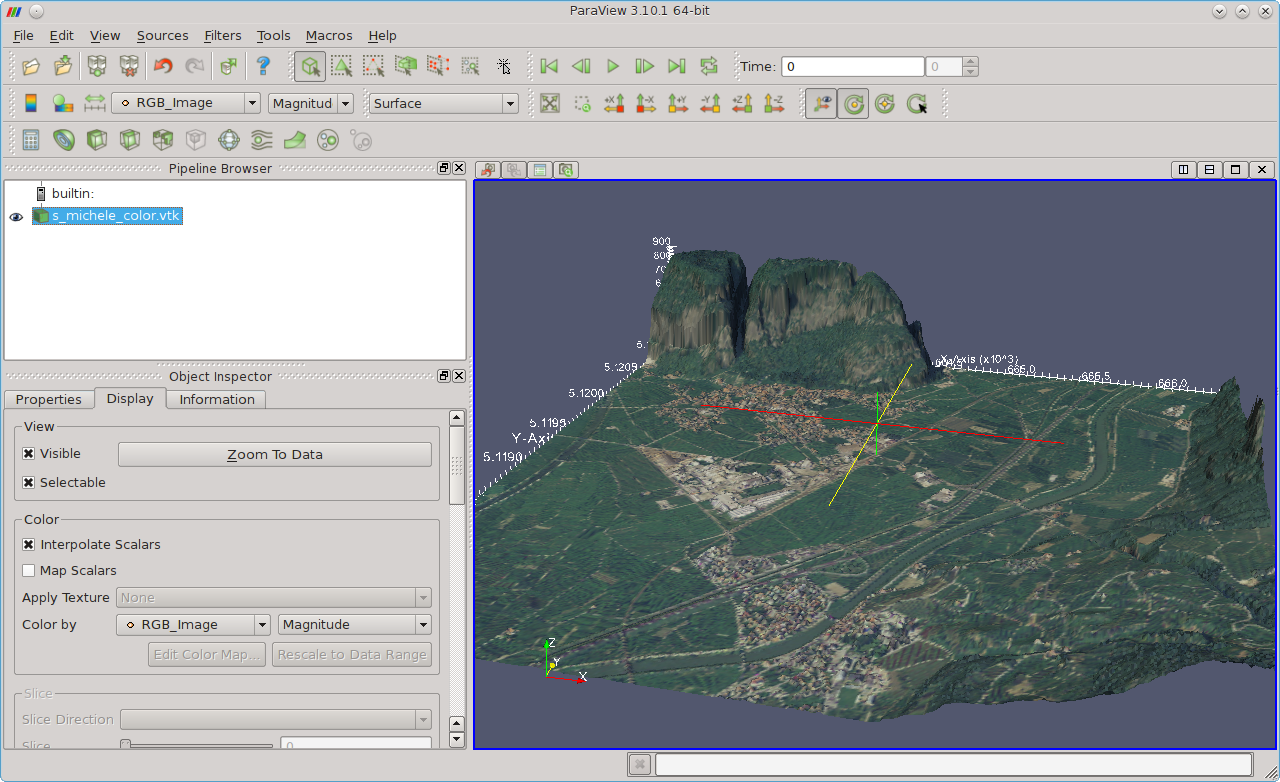
| 13:36, 11 January 2012 | Paraview fondazione mach 3D.png (file) |  |
716 KB | Fondazione Mach - S. Michele (Italy) area shown in ParaView | 1 |
| 14:42, 10 February 2012 | Palsar in grass64.png (file) |  |
774 KB | PALSAR shown in GRASS | 1 |
| 18:26, 22 March 2009 | Wxgui current.png (file) |  |
785 KB | Current wxGUI (GRASS 6.5.svn) | 1 |