Uncategorized files
Jump to navigation
Jump to search
Showing below up to 250 results in range #1 to #250.
-
 01 roundabout before.png 319 × 299; 24 KB
-
 02 roundabout split.png 361 × 294; 41 KB
-
 03 roundabout after.png 340 × 284; 26 KB
-
 180px-500px-Grass GIS.svg altered.png 180 × 215; 12 KB
-
 1grassdev-post-by-tz.jpg 754 × 504; 54 KB
-
 2009 summer of code logo final r3-01.png 625 × 417; 66 KB
-
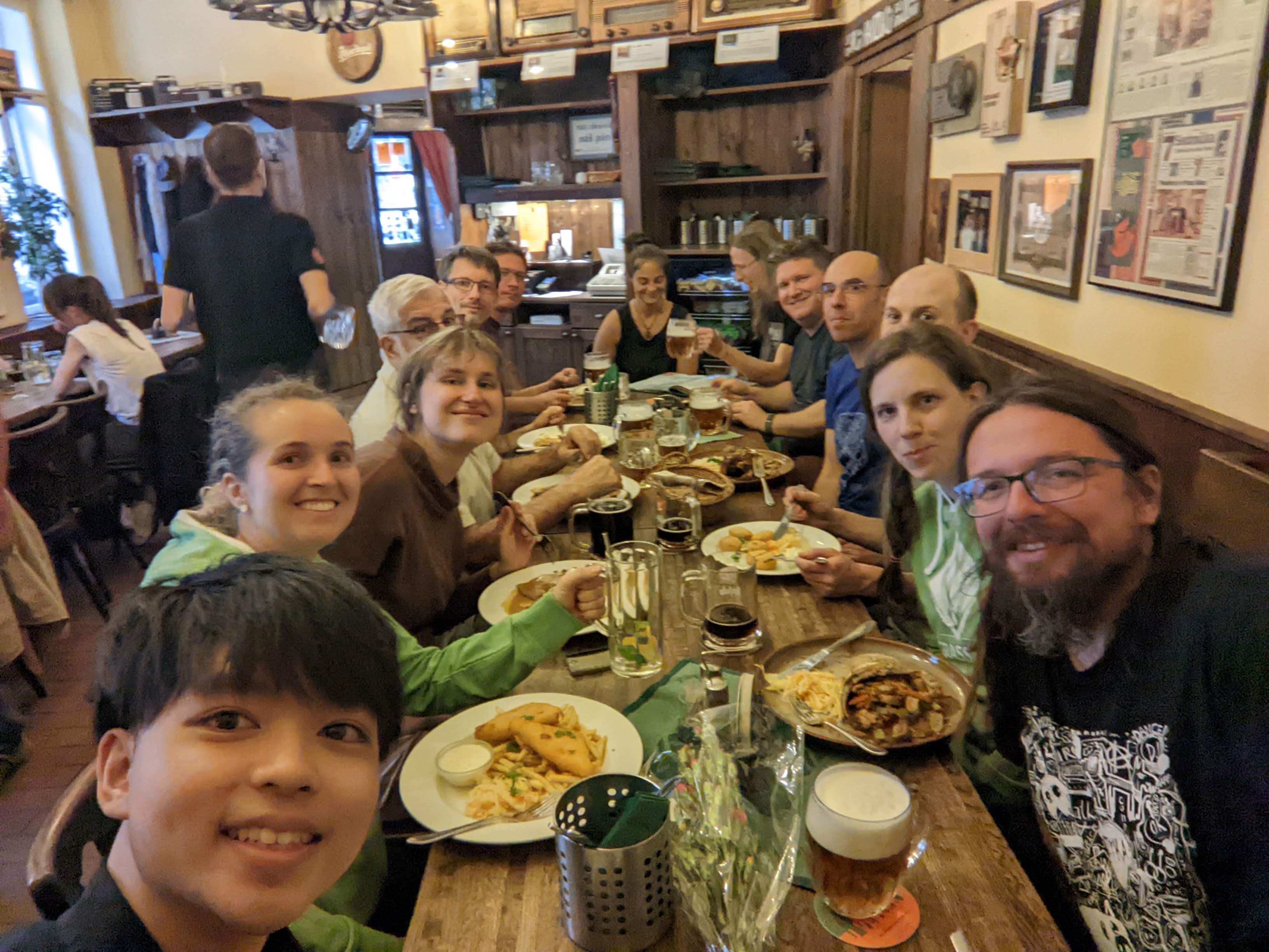
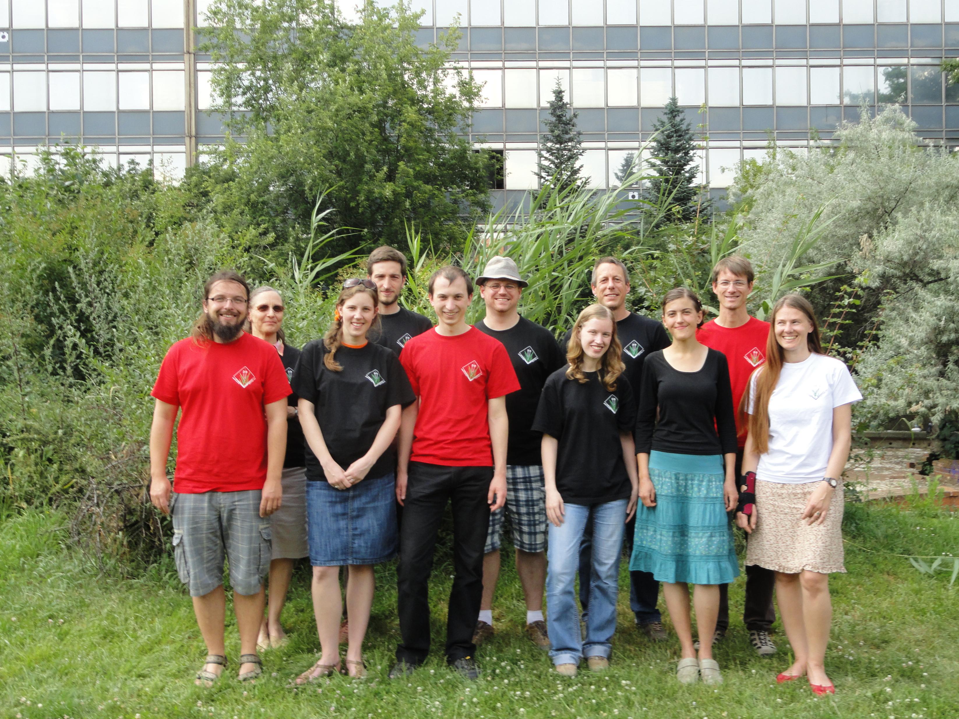 2013-07-grass-community-sprint-prague.jpg 3,292 × 2,469; 1.12 MB
-
 20140830 180722 resized.jpg 1,836 × 2,448; 870 KB
-
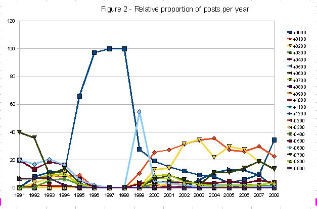 2grassdev-relproportion-by-tz.jpg 627 × 415; 50 KB
-
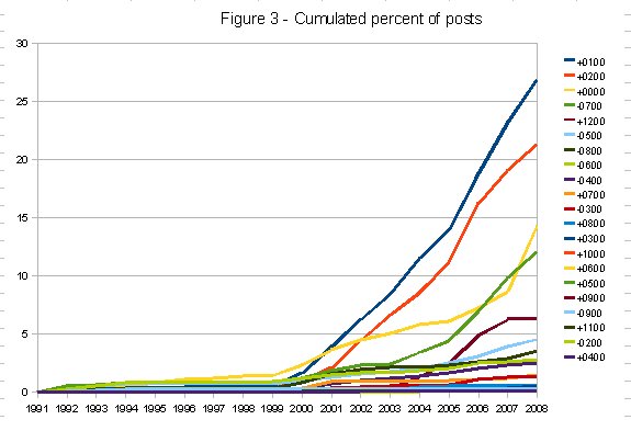 3grassdev-cumfreq.jpg 575 × 393; 35 KB
-
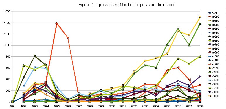 4grassuser-post-by-tz.jpg 771 × 371; 69 KB
-
 500px-Grass GIS.svg.png 500 × 541; 37 KB
-
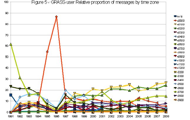 5grassuser-relprop-by-tz.jpg 645 × 408; 57 KB
-
 600px-FOSS4G OSGeo Code Sprint group photo.jpg 600 × 399; 147 KB
-
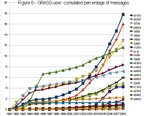 6grassuser-cumfreq.jpg 487 × 393; 56 KB
-
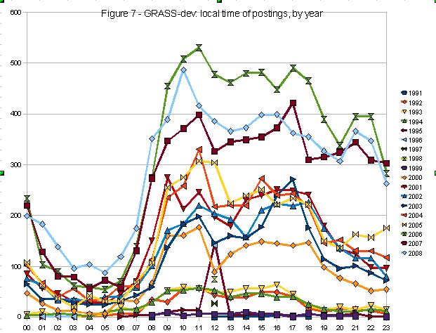 7grassdev-localtime.jpg 621 × 474; 80 KB
-
 800px-Gras.jpg 800 × 600; 116 KB
-
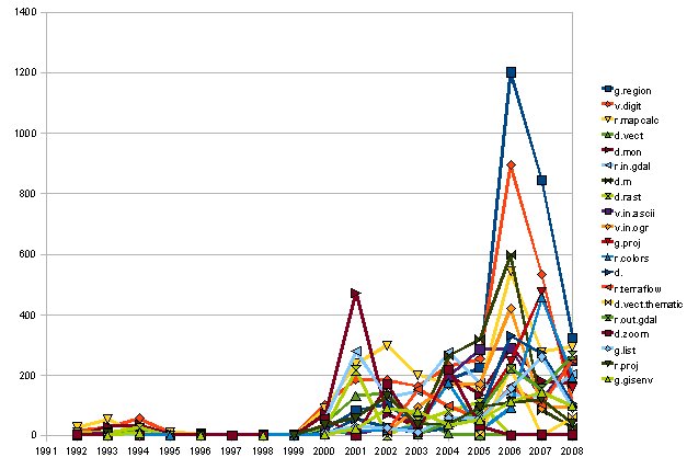 8grassdev-commands-in-time.jpg 627 × 428; 47 KB
-
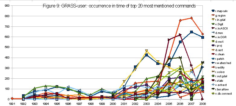 9grassuser-commands-in-time.jpg 782 × 353; 68 KB
-
 AGU 2018 logo.png 483 × 150; 13 KB
-
 Akl landsat.png 1,284 × 972; 1.95 MB
-
 Alaa3.JPG 1,011 × 1,311; 101 KB
-
 Alaa3.jpg 1,011 × 1,311; 101 KB
-
 Alaa4.jpg 273 × 376; 53 KB
-
 Alaa5.jpg 133 × 184; 16 KB
-
 Anaglyph glasses.png 644 × 410; 348 KB
-
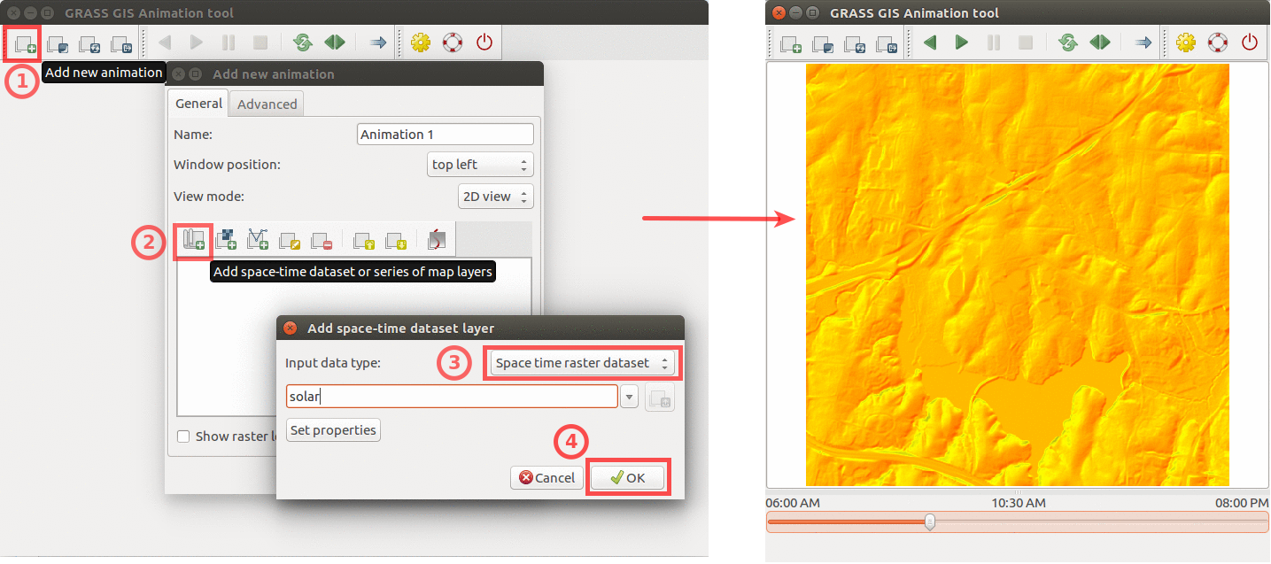 Animation solar example.png 1,435 × 637; 439 KB
-
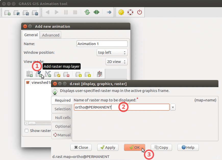 Animation tool add base raster.png 870 × 628; 251 KB
-
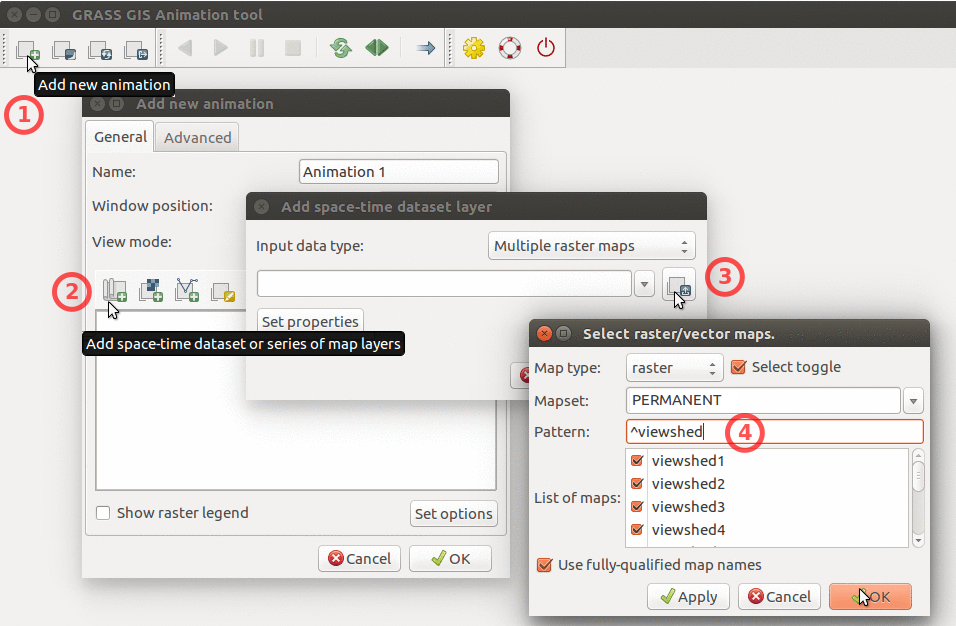 Animation tool add multiple rasters.png 956 × 626; 320 KB
-
 Animation tool inundation.png 800 × 760; 468 KB
-
 Animation tool layers.png 428 × 489; 114 KB
-
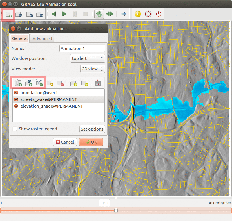
 Animation tool viewsheds.png 491 × 604; 619 KB
-
 ArcView GRASS TIN breaklines.png 800 × 387; 457 KB
-
 ArcView GRASS TIN breaklines l.png 1,481 × 716; 978 KB
-
 Arcgis-buffer-negative-distance.png 1,200 × 401; 52 KB
-
 Attributes-display.png 24 × 24; 415 bytes
-
 Averline results.png 1,188 × 302; 48 KB
-
 Aviris text2.png 952 × 160; 64 KB
-
 Bank.png 50 × 50; 258 bytes
-
 Banner 1.png 618 × 150; 11 KB
-
 Banner 1 alpha.png 618 × 150; 12 KB
-
 Banner 2.png 618 × 150; 11 KB
-
 Banner 2 alpha.png 618 × 150; 12 KB
-
 Banner 3.png 618 × 150; 12 KB
-
 Banner 3 alpha.png 618 × 150; 13 KB
-
 Barscales7.png 555 × 933; 5 KB
-
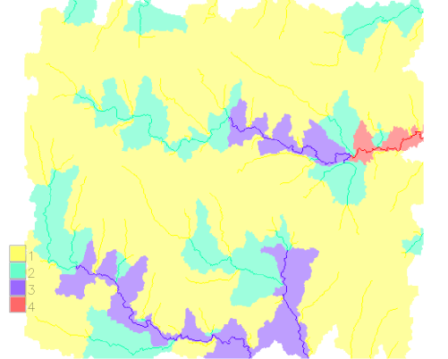
 Bas 42 elems.png 501 × 423; 32 KB
-
 Bas basin last.png 501 × 402; 56 KB
-
 Bas contrib strahler.png 501 × 402; 58 KB
-
 Bas elem.png 501 × 423; 85 KB
-
 Bas lake dengerous.png 501 × 402; 201 KB
-
 Bas sel streams.png 501 × 418; 21 KB
-
 Bas sequence categories.png 501 × 402; 34 KB
-
 Basin 1.png 501 × 423; 9 KB
-
 Basin 3.png 501 × 423; 14 KB
-
 Basin points.png 501 × 402; 212 KB
-
 Beer-and-work-day4.jpg 4,032 × 3,024; 2.78 MB
-
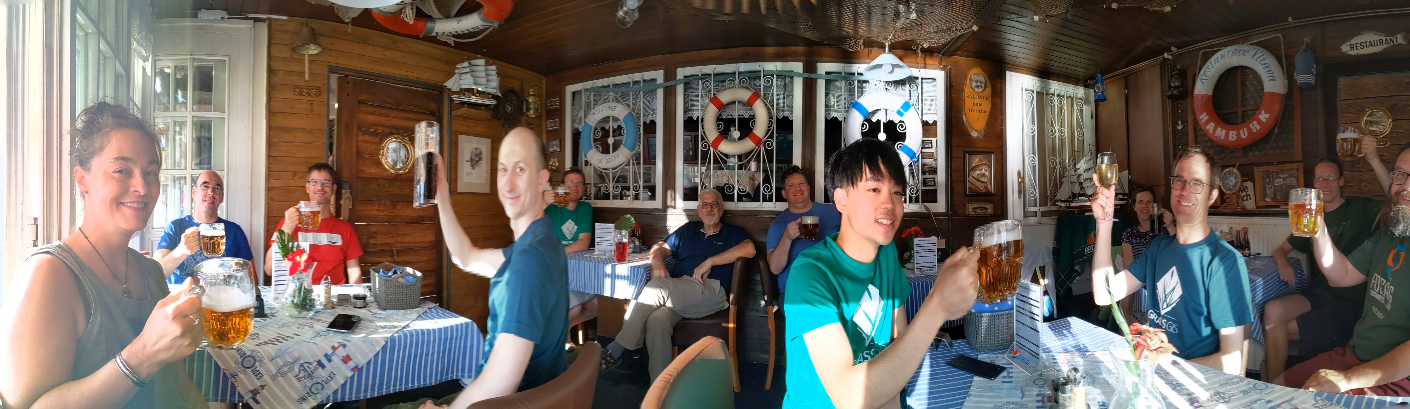 Beer-pano-day3.jpg 5,710 × 1,659; 2.8 MB
-
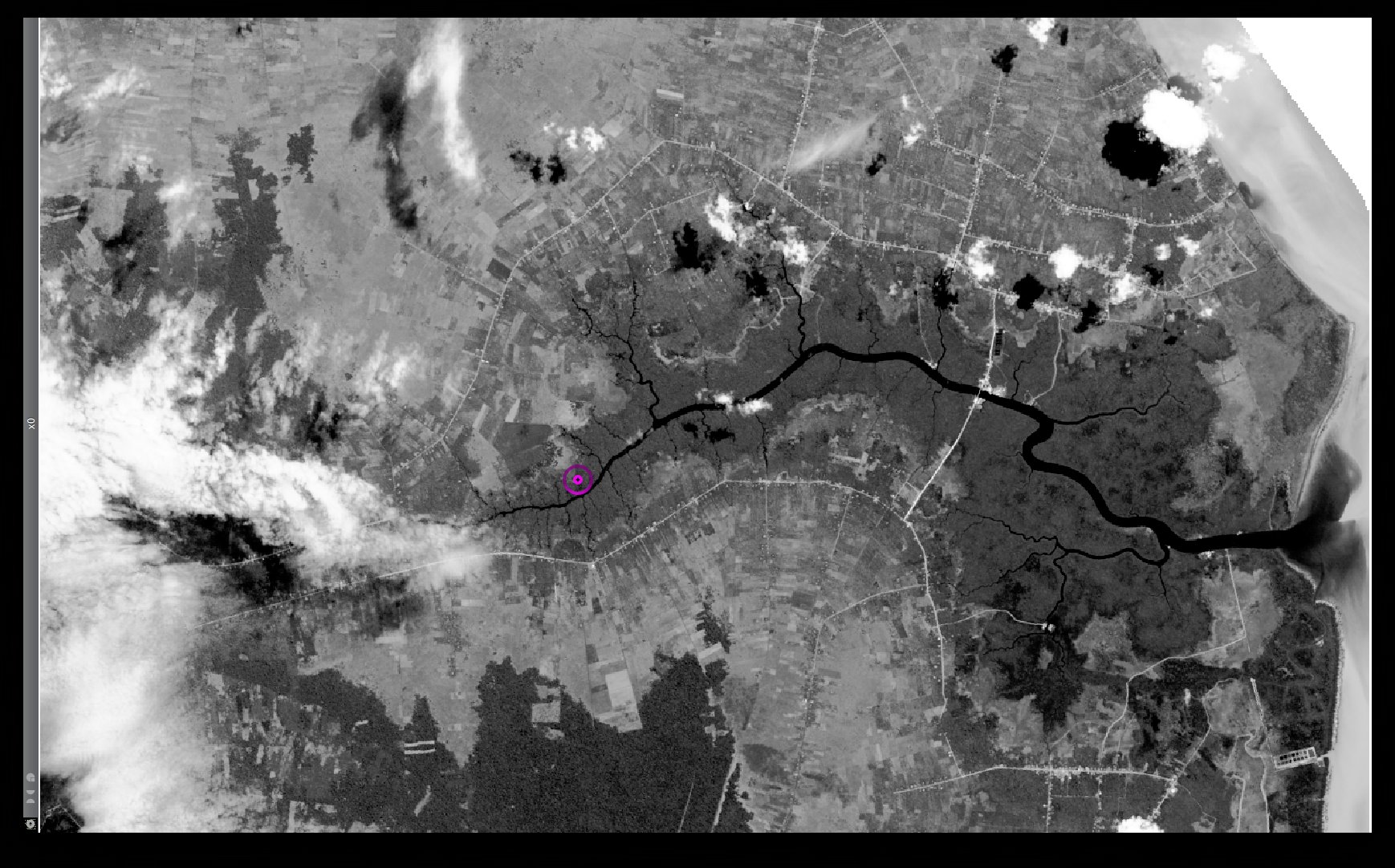
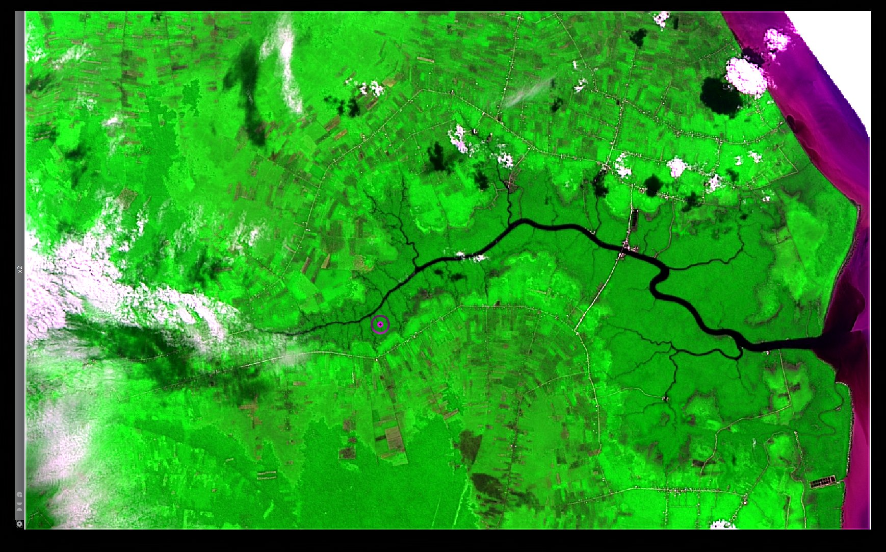 Bengkalis Island Landsat8 HPFA Sharpened RGB Red NIR Blue Default Parameters.jpg 1,738 × 1,082; 452 KB
-
 Bengkalis Island Landsat8 HPFA Sharpened RGB Red NIR Blue Max Crispness.jpg 1,738 × 1,082; 480 KB
-
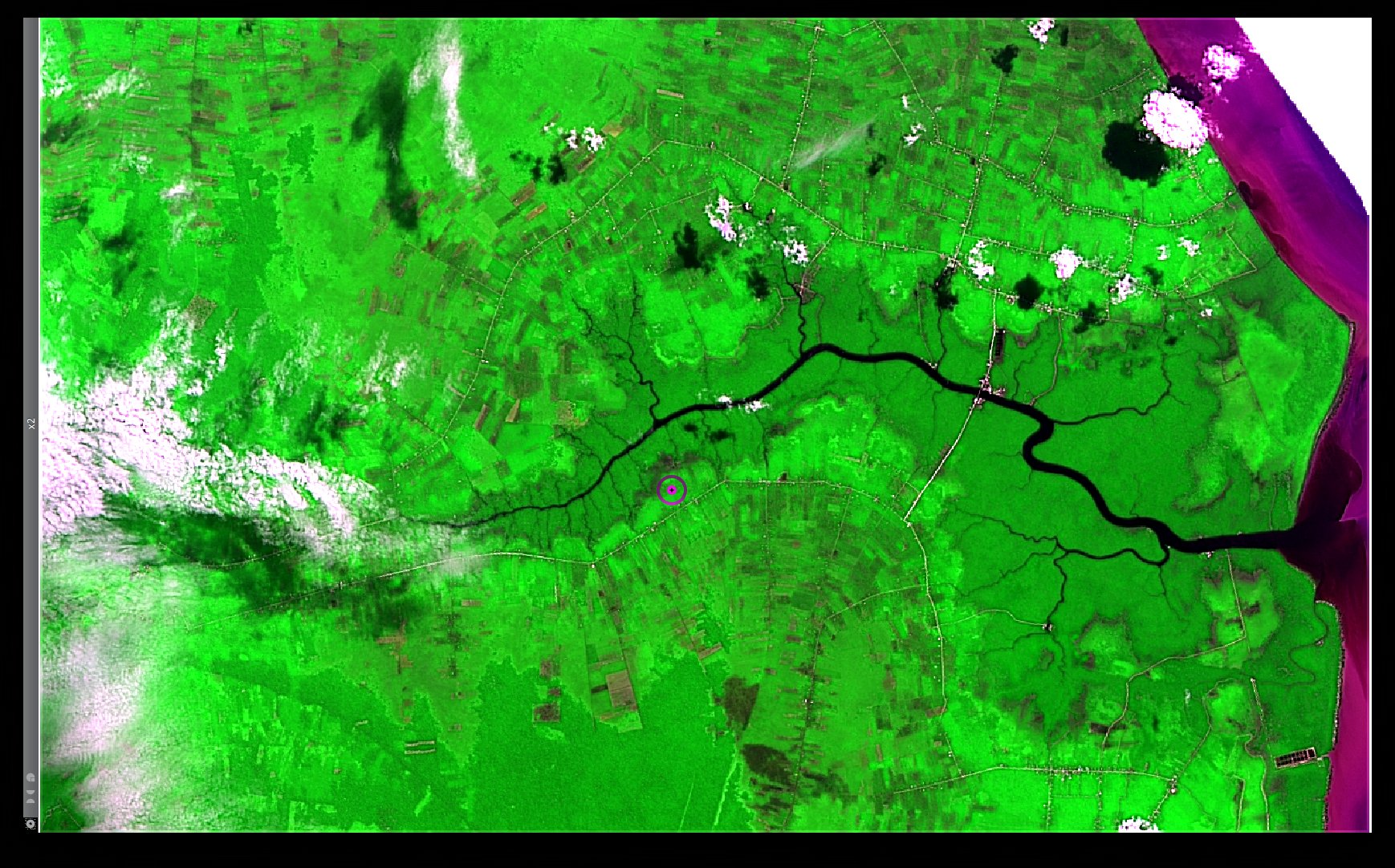
 Bengkalis Island Landsat8 Panchromatic.jpg 1,738 × 1,082; 401 KB
-
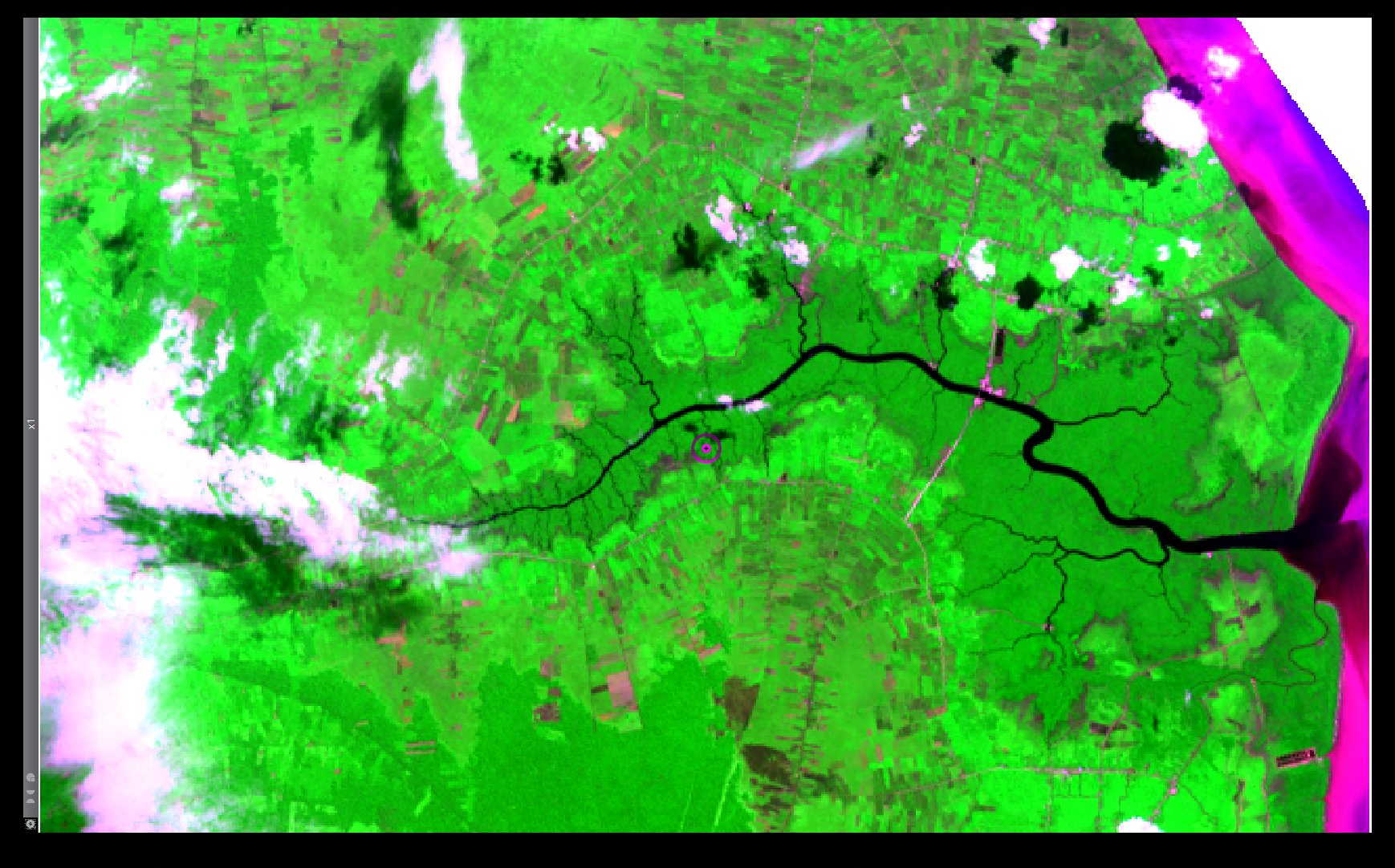 Bengkalis Island Landsat8 RGB Red NIR Blue.jpg 1,738 × 1,082; 378 KB
-
 Benjamin.png 102 × 96; 22 KB
-
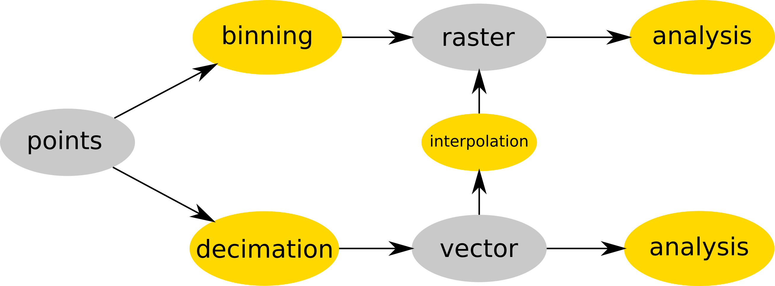 Binning and decimation workflow schema for point clouds.png 2,613 × 966; 127 KB
-
 Binning count explanation.png 552 × 662; 54 KB
-
 Binning mean explanation.png 552 × 662; 61 KB
-
 Blender-plain.png 460 × 128; 11 KB
-
 Boundary-create.png 24 × 24; 1 KB
-
 Boxplot geo.png 780 × 480; 8 KB
-
 Btn donate SM.gif 74 × 21; 1 KB
-
 Buffer-negative-distance.png 1,325 × 600; 83 KB
-
 Bus.png 50 × 50; 246 bytes
-
 CASAS logo.png 640 × 413; 80 KB
-
 CCPreview.png 756 × 656; 206 KB
-
 CERL tshirt closeup late 1980s.jpg 3,377 × 2,586; 580 KB
-
 Cairo-example.jpg 800 × 600; 129 KB
-
 CartographicComposer.png 756 × 656; 42 KB
-
 Cat-display.png 24 × 24; 394 bytes
-
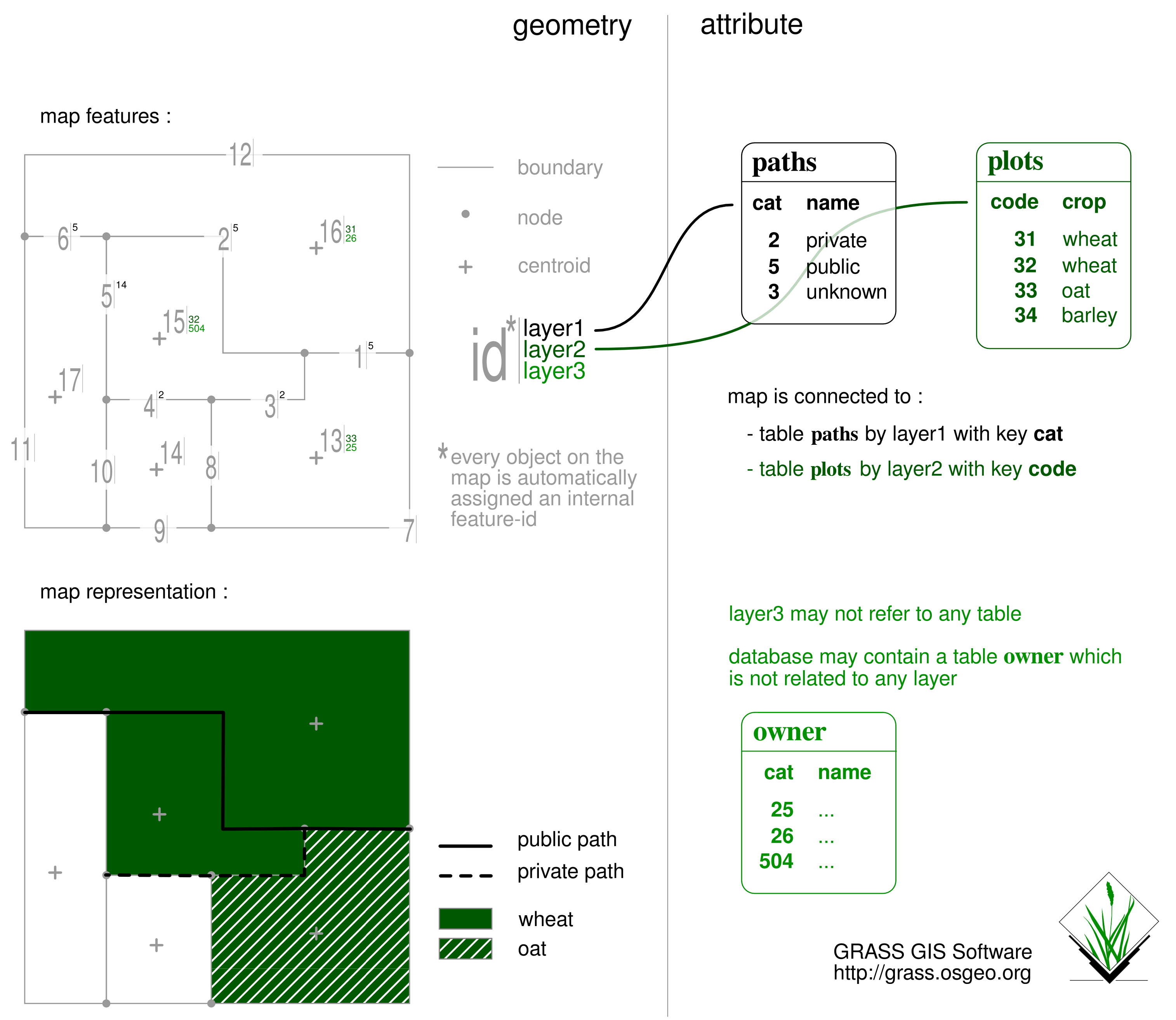 Catsnlayers.png 3,029 × 2,628; 511 KB
-
 Cea bondone ortho lidar dsm small.png 416 × 240; 216 KB
-
 Cedric.jpg 102 × 127; 6 KB
-
 Census and urban.png 648 × 508; 33 KB
-
 Census urban clip.png 648 × 508; 26 KB
-
 Census urban intersect.png 648 × 508; 28 KB
-
 Census urban union.png 648 × 508; 34 KB
-
 Centroid-create.png 24 × 24; 1 KB
-
 Cesia.png 201 × 100; 9 KB
-
 Cesium globe in GRASS GIS.jpg 1,124 × 715; 171 KB
-
 Chal3d i.gif 293 × 231; 20 KB
-
 Chal4d i.gif 298 × 249; 23 KB
-
 Chan1m32isis Isis GRASS Menu.png 896 × 945; 357 KB
-
 Change color table interactively with menu and labels.png 1,386 × 846; 231 KB
-
 Checkmark.png 12 × 18; 178 bytes
-
 Circross-overlay.png 44 × 44; 699 bytes
-
 Cla strds.png 1,133 × 688; 53 KB
-
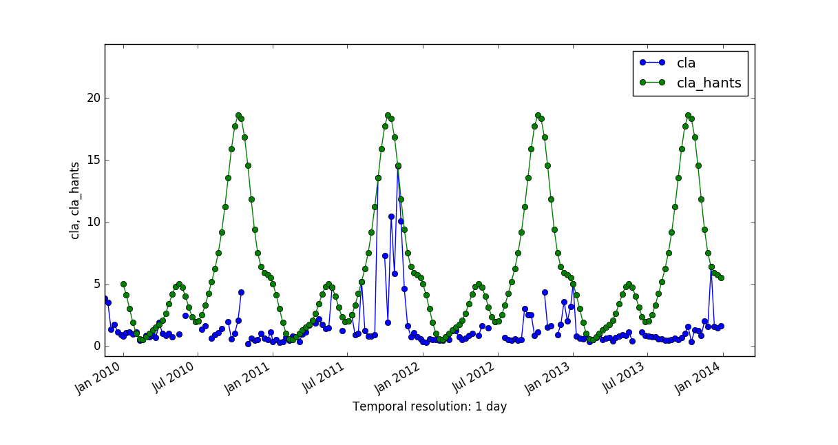 Cla vs cla hants.png 1,217 × 646; 75 KB
-
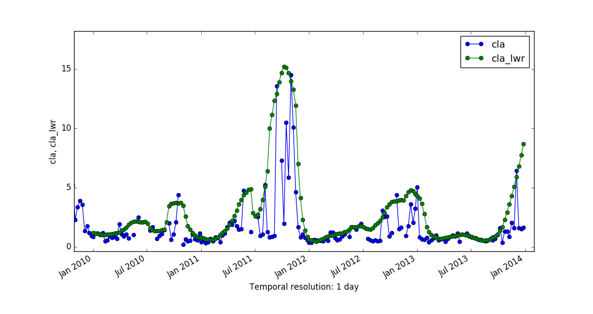 Cla vs cla lwr.png 1,217 × 646; 69 KB
-
 CleanTOPO2 map.png 1,508 × 753; 1.06 MB
-
 Codesprint 2019 b.jpg 680 × 1,210; 95 KB
-
 Colortable aspect.png 450 × 100; 2 KB
-
 Colortable aspectcolr.png 450 × 100; 2 KB
-
 Colortable bcyr.png 450 × 100; 2 KB
-
 Colortable bgyr.png 450 × 100; 2 KB
-
 Colortable byg.png 450 × 100; 2 KB
-
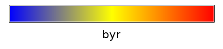 Colortable byr.png 450 × 100; 1 KB
-
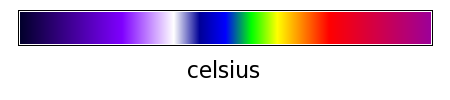 Colortable celsius.png 450 × 100; 2 KB
-
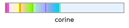 Colortable corine.png 450 × 100; 2 KB
-
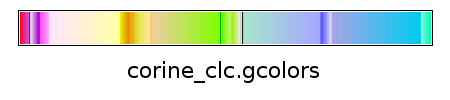 Colortable corine clc.gcolors.png 450 × 100; 3 KB
-
 Colortable curvature.png 450 × 100; 2 KB
-
 Colortable differences.png 450 × 100; 2 KB
-
 Colortable elevation.png 450 × 100; 2 KB
-
 Colortable etopo2.png 450 × 100; 2 KB
-
 Colortable evi.png 450 × 100; 1 KB
-
 Colortable grey.png 450 × 100; 2 KB
-
 Colortable grey1.0.png 450 × 100; 2 KB
-
 Colortable grey255.png 450 × 100; 2 KB
-
 Colortable gyr.png 450 × 100; 1 KB
-
 Colortable haxby.png 450 × 100; 2 KB
-
 Colortable ndvi.png 450 × 100; 2 KB
-
 Colortable palette GMT ocean.gcolors.png 450 × 100; 4 KB
-
 Colortable palette chl etc.gcolors.png 450 × 100; 3 KB
-
 Colortable palette high intensity.gcolors.png 450 × 100; 3 KB
-
 Colortable palette low intensity.gcolors.png 450 × 100; 4 KB
-
 Colortable palette roygbiv.gcolors.png 450 × 100; 4 KB
-
 Colortable palette sst.gcolors.png 450 × 100; 3 KB
-
 Colortable population.png 450 × 100; 2 KB
-
 Colortable precipitation.png 450 × 100; 2 KB
-
 Colortable rainbow.png 450 × 100; 2 KB
-
 Colortable ramp.png 450 × 100; 1 KB
-
 Colortable ryb.png 450 × 100; 1 KB
-
 Colortable ryg.png 450 × 100; 1 KB
-
 Colortable sepia.png 450 × 100; 2 KB
-
 Colortable slope.png 450 × 100; 2 KB
-
 Colortable srtm.png 450 × 100; 1 KB
-
 Colortable terrain.png 450 × 100; 2 KB
-
 Colortable wave.png 450 × 100; 2 KB
-
 Community-Sprint 2019 Zenodo high level view.jpg 4,032 × 2,268; 1.8 MB
-
 Community-sprint5.png 830 × 910; 869 KB
-
 Community sprint2015 fotowall.jpg 1,366 × 617; 151 KB
-
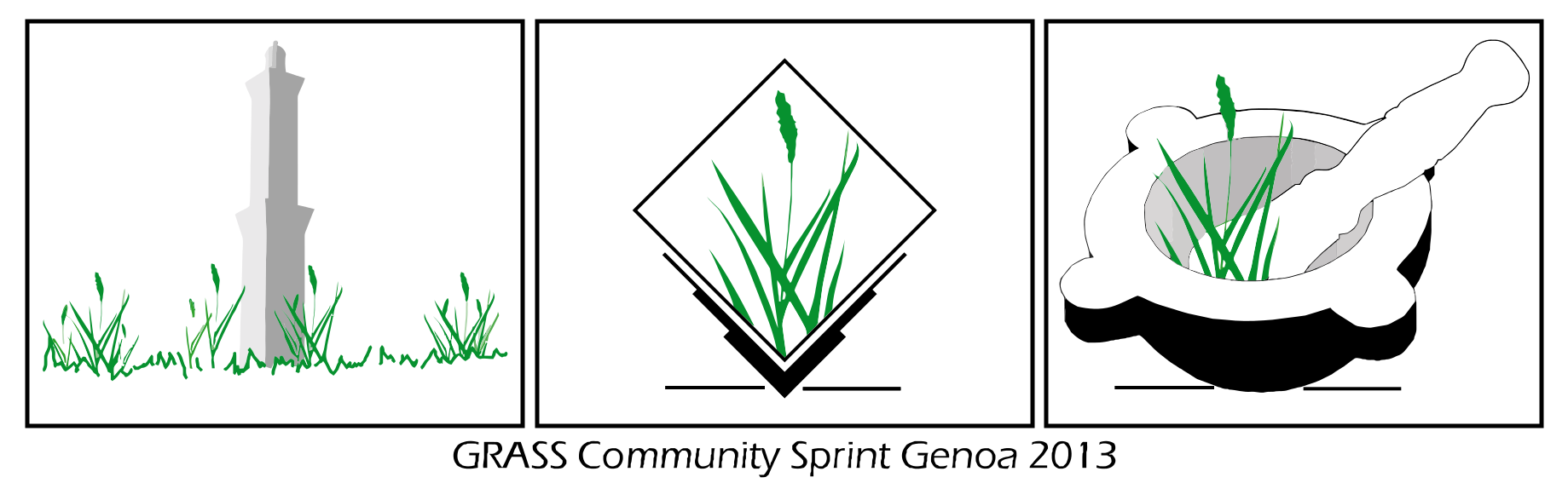 Community sprint genova2013.png 1,839 × 567; 143 KB
-
 Community sprint prague2012.png 1,968 × 601; 139 KB
-
 Community sprint prague 2011.png 1,968 × 601; 143 KB
-
 Comparison Paris.png 640 × 386; 15 KB
-
 Computational region two rasters.png 798 × 613; 250 KB
-
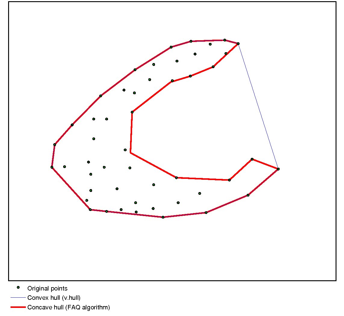 Concave hull.jpg 1,143 × 1,053; 64 KB
-
 ConnectionMgr.png 1,023 × 787; 115 KB
-
 Contour1m surf NN linear.png 830 × 649; 373 KB
-
 Contour1m surf NN nn.png 830 × 649; 315 KB
-
 Contour1m surf NN ns.png 830 × 649; 321 KB
-
 Contour1m surf idw2 12.png 842 × 650; 325 KB
-
 Contour1m surf idw 024.png 843 × 649; 384 KB
-
 Contour1m surf idw 036.png 844 × 649; 404 KB
-
 Contour1m surf idw 064.png 843 × 649; 411 KB
-
 Contour1m surf idw 250.png 845 × 649; 413 KB
-
 Contour1m surf rst.png 844 × 650; 290 KB
-
 Contour1m surf scontr.png 842 × 649; 425 KB
-
 Contour1m vspline bic.png 845 × 650; 268 KB
-
 Contour1m vspline bil.png 845 × 650; 303 KB
-
 Contour lines from DEM.png 531 × 479; 323 KB
-
 Corine land cover 2000.png 400 × 351; 85 KB
-
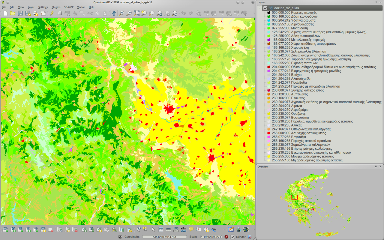 Corine v2 greece viewed in qgis16 h800px.png 1,280 × 800; 852 KB
-
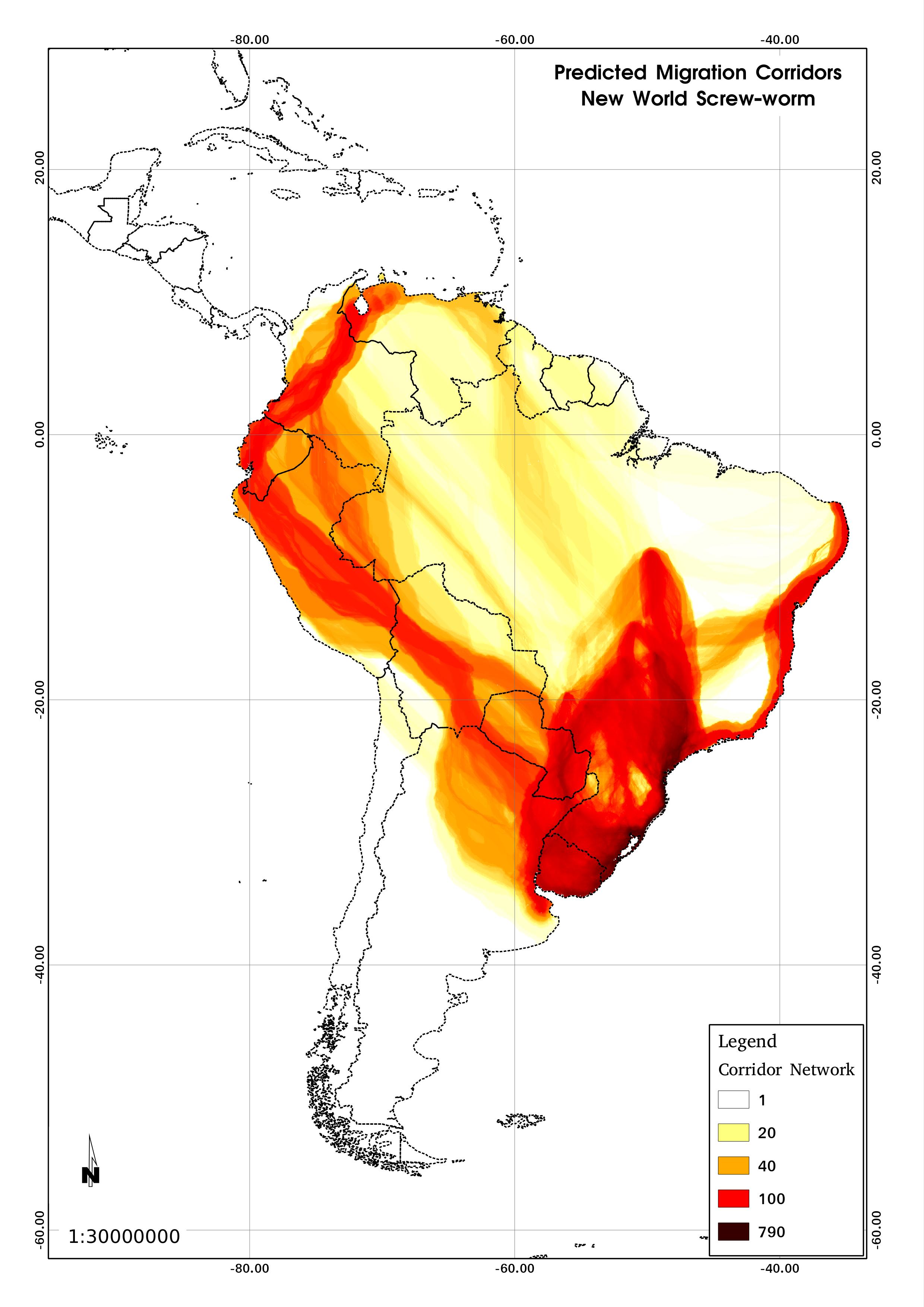 Corridors.jpg 2,480 × 3,507; 504 KB
-
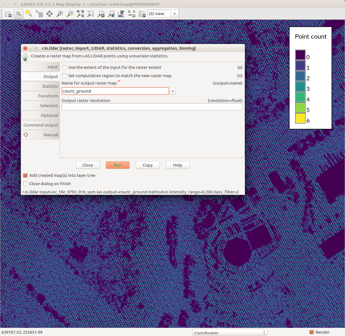 Counting ground points per cell with r.in.lidar.png 1,206 × 1,176; 231 KB
-
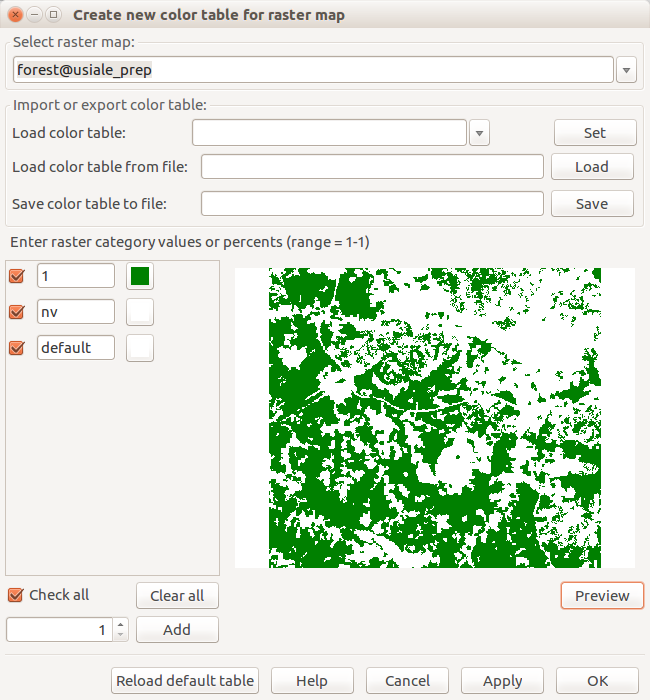 Create new color table for raster map forest.png 650 × 700; 53 KB
-
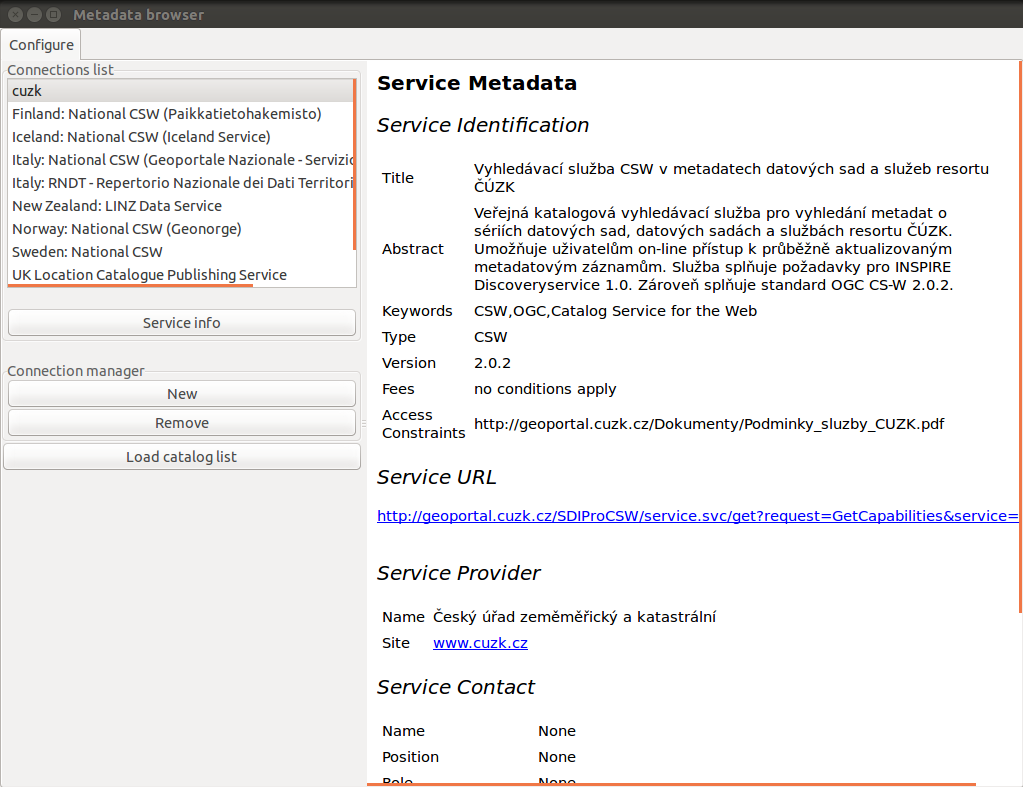
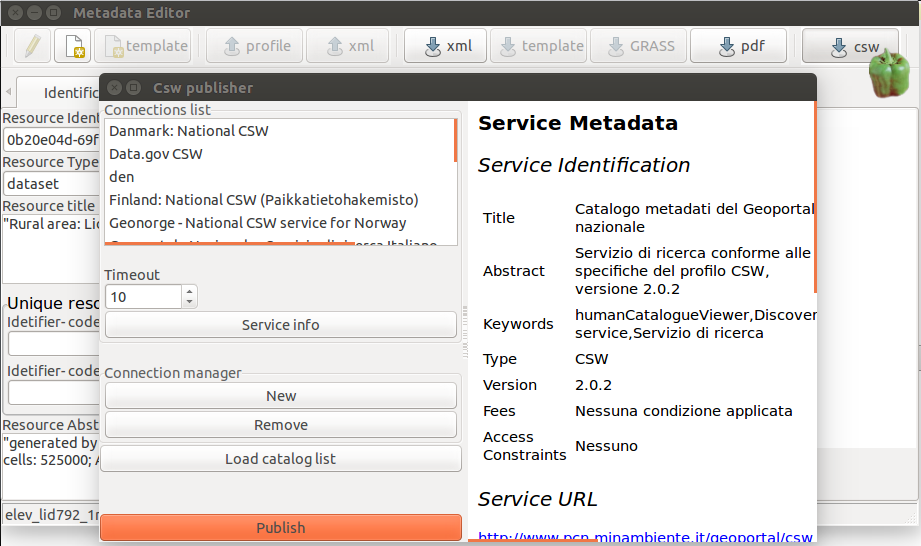 Csw publisher.png 921 × 546; 120 KB
-
 Cumulative viewshed.png 1,633 × 854; 1.34 MB
-
 Cumulative viewshed elevation.png 914 × 731; 1.08 MB
-
 CygwinX11 icon.png 91 × 84; 5 KB
-
 D.path-small.jpg 171 × 152; 7 KB
-
 D.path.jpg 682 × 607; 76 KB
-
 DEM SRTM.png 500 × 707; 175 KB
-
 D profile.png 648 × 506; 110 KB
-
 D rast arrow magnitude.png 631 × 720; 18 KB
-
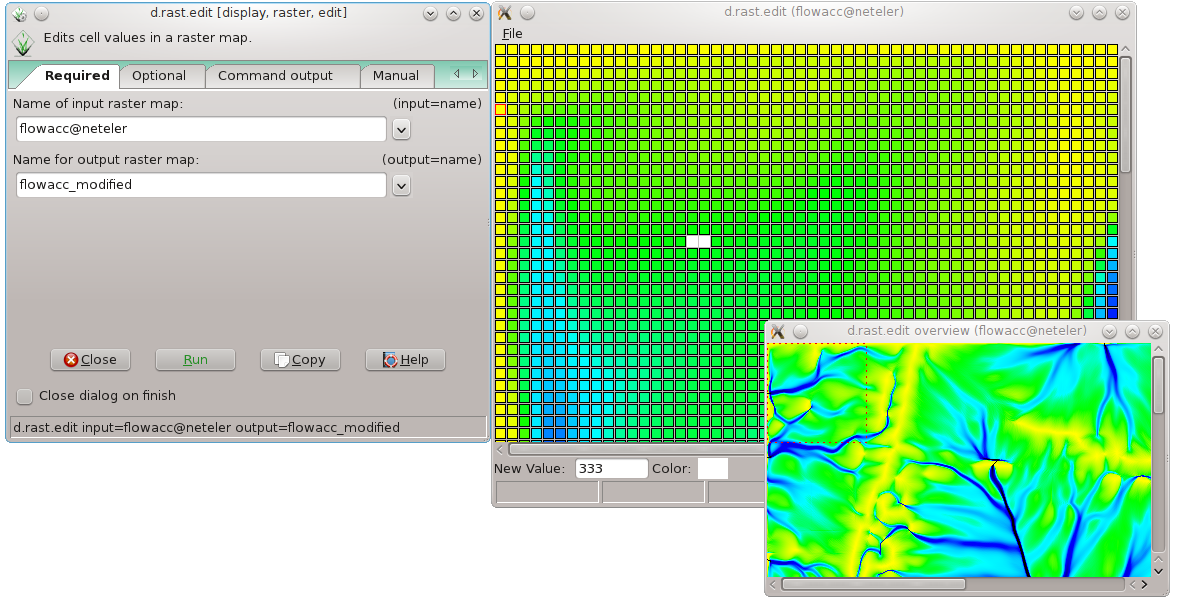 D rast edit grass7.png 1,180 × 602; 198 KB
-
 D rast elevation.png 648 × 506; 307 KB
-
 D vect.png 648 × 506; 31 KB
-
 D what rast.png 665 × 381; 34 KB
-
 D what vect.png 465 × 576; 14 KB
-
 Dassau.png 118 × 140; 10 KB
-
 Data-select.png 32 × 32; 994 bytes
-
 Data catalog 1.png 1,366 × 718; 691 KB
-
 Data catalog 2.png 1,386 × 979; 177 KB
-
 Data catalog 4.png 1,366 × 718; 691 KB
-
 Data catalog 5.png 1,366 × 718; 80 KB
-
 Data catalog 6.png 1,366 × 718; 45 KB
-
 DaveSampson.png 102 × 153; 39 KB
-
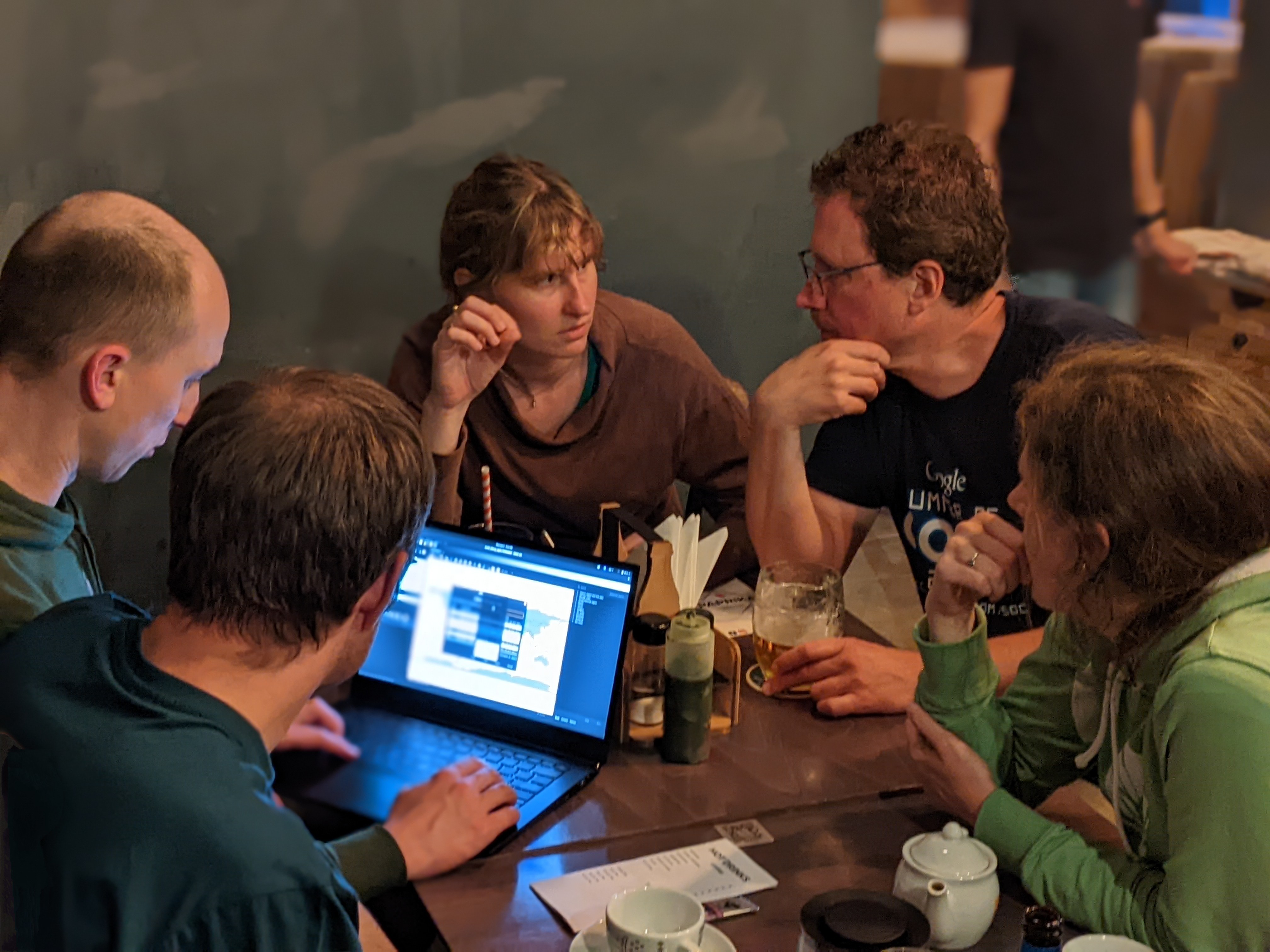
 Day2-collaboration.jpg 4,272 × 2,848; 3.53 MB
-
 Day2-pizza.jpg 4,032 × 3,024; 605 KB
-
 Day3-collaboration.jpg 4,032 × 3,024; 2.52 MB
-
 Day3-table.jpg 3,906 × 2,225; 1.17 MB
-
 Day3-working.jpg 2,823 × 1,589; 588 KB
-
 Db-connect-schema.png 32 × 32; 1 KB
-
 Db-connect.png 32 × 32; 1 KB
-
 Db-copy.png 32 × 32; 1 KB
-
 Db-execute.png 32 × 32; 1 KB
-
 Db-export.png 26 × 27; 1 KB
-
 Db-import.png 26 × 27; 1 KB
-
 Db-login.png 32 × 32; 1 KB
-
 Ddd display vars.png 605 × 507; 21 KB
-
 Ddd run1.png 606 × 508; 23 KB
-
 Ddd run2.png 606 × 510; 20 KB
-
 Ddd startup.png 606 × 510; 21 KB
-
 Debian073-grass.jpg 1,024 × 768; 136 KB
-
 DepthFiltering.png 916 × 658; 1.22 MB
-
 Devs at work.jpg 3,024 × 3,159; 1.1 MB
-
 DidatticaOpenGIS Mezzini.pdf ; 540 KB
-
 Different terrain analyses and visualizations in multiple Map Displays.png 1,878 × 1,056; 1,014 KB
-
 Dinner day 1.jpg 3,264 × 2,448; 559 KB
-
 DipSA.jpg 1,890 × 1,008; 664 KB
-
 Directions.png 523 × 518; 6 KB
-
 Directions grass.png 523 × 518; 10 KB
-
 Directions wind.png 523 × 518; 10 KB
-
 Distance outlets.png 593 × 400; 282 KB
-
 Dmon elevation.png 648 × 506; 307 KB
-
 Downloadlink screenshot.png 354 × 59; 8 KB
-
 Dprofile-elevation.png 650 × 506; 80 KB
-
 Dstance outlet sub.png 593 × 400; 335 KB
-
 Dwhatrast.png 507 × 342; 15 KB
-
 Dxf display.png 812 × 629; 69 KB
-
 ENEA logo.gif 1,300 × 391; 87 KB
-
 Elev lid792 bepts.nn.ortho3x.png 957 × 413; 149 KB
-
 Elev lid792 bepts.nn.png 837 × 650; 439 KB
-
 Elev lid792 bepts.rst.png 841 × 650; 428 KB
-
 Elev lid792 cont1m.png 422 × 454; 88 KB
-
 Elevation out subbasin.png 501 × 402; 364 KB
-
 Elevation outlet.png 501 × 402; 332 KB
-
 Elevation slope 3D view.png 1,301 × 627; 565 KB
-
 Elevation with streams.jpg 500 × 401; 56 KB
-
 Emacs gdb-1.png 842 × 631; 19 KB
-
 Emacs gdb-1a.png 1,212 × 766; 35 KB
-
 Emacs gdb-2.png 1,212 × 766; 39 KB
-
 Emacs gdb-3.png 1,212 × 766; 34 KB
-
 EnergyBalance.png 1,707 × 1,306; 1.09 MB
-
 Eo1 satellite.jpg 325 × 237; 15 KB
-
 Esfera grass blue.png 1,600 × 1,608; 1.2 MB
-
 Esfera grass blue glow.png 1,600 × 1,608; 1.99 MB
-
 Esfera grass blue glow shadowless.png 1,600 × 1,608; 1.96 MB
-
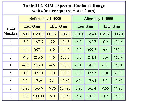 Etm minmaxradiance.JPG 640 × 433; 69 KB
-
 Eu emblem.gif 200 × 134; 2 KB
-
Evaporation manual v0.6.7.pdf ; 6.87 MB
-
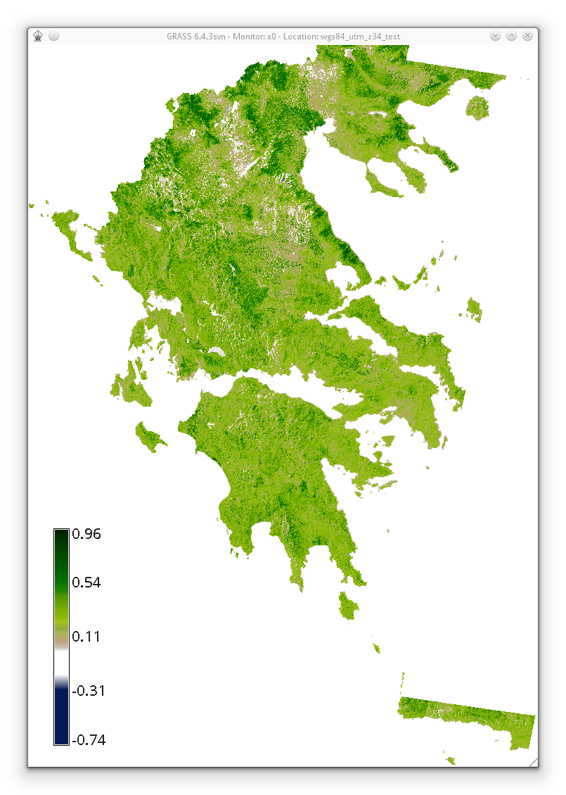 Evi2 based on histomatched summer landsat utm z34n.png 805 × 1,130; 693 KB
-
 Example.jpg 943 × 694; 39 KB
-
 Example1.jpg 665 × 1,060; 182 KB
-
 Example r.in.lidar command in Bash.png 1,011 × 177; 23 KB
-
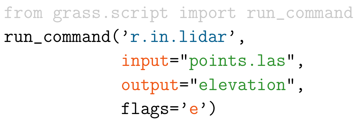 Example r.in.lidar command in Python.png 1,204 × 413; 47 KB
-
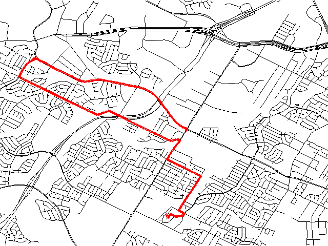 Example track.png 640 × 480; 23 KB
-
 FOSS4G-Europe-2017.png 600 × 600; 386 KB
-
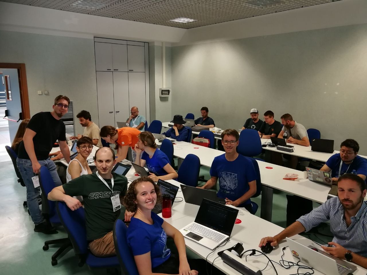 FOSS4G2022 Florence sprint aug 27.jpg 1,280 × 960; 176 KB
-
 FOSS4G NA 2016.png 728 × 90; 67 KB
-
 FOSSGIS eV logo.png 1,087 × 313; 40 KB


