File:Grass gis cli ubuntu purple r.in.lidar.png
Jump to navigation
Jump to search
Size of this preview: 800 × 354 pixels. Other resolution: 941 × 416 pixels.
Original file (941 × 416 pixels, file size: 52 KB, MIME type: image/png)
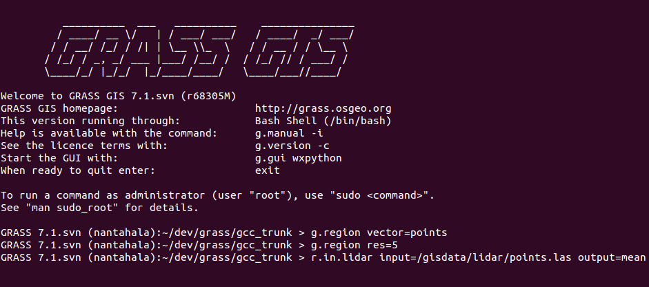
GRASS GIS command line interface (CLI) in Ubuntu terminal (purple/violet)
Commands:
g.region vector=points
g.region res=5
r.in.lidar input=/gisdata/lidar/points.las output=mean
File history
Click on a date/time to view the file as it appeared at that time.
| Date/Time | Thumbnail | Dimensions | User | Comment | |
|---|---|---|---|---|---|
| current | 18:12, 19 July 2017 | | 941 × 416 (52 KB) | ⚠️Wenzeslaus (talk | contribs) | GRASS GIS command line interface (CLI) in Ubuntu terminal (purple/violet) Commands: g.region vector=points g.region res=5 r.in.lidar input=/gisdata/lidar/points.las output=mean |
You cannot overwrite this file.
File usage
The following 2 pages use this file: