File:Show computational extent in Map Display.png
Jump to navigation
Jump to search
Size of this preview: 480 × 599 pixels. Other resolution: 636 × 794 pixels.
Original file (636 × 794 pixels, file size: 239 KB, MIME type: image/png)
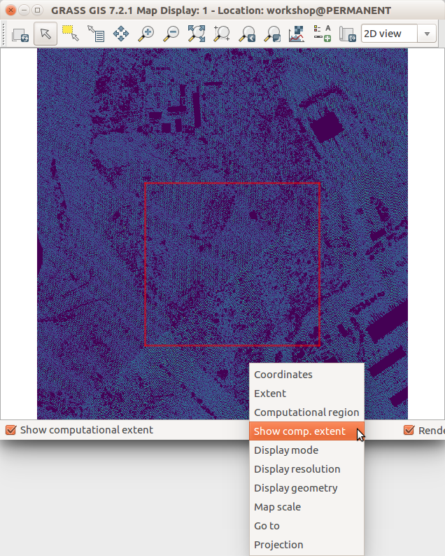
GRASS GIS 7.2 wxGUI Map Display
File history
Click on a date/time to view the file as it appeared at that time.
| Date/Time | Thumbnail | Dimensions | User | Comment | |
|---|---|---|---|---|---|
| current | 01:58, 1 August 2017 | | 636 × 794 (239 KB) | ⚠️Wenzeslaus (talk | contribs) | GRASS GIS 7.2 wxGUI Map Display |
You cannot overwrite this file.
File usage
The following 2 pages use this file: