File:Wxgui computat region to raster.png
Jump to navigation
Jump to search
No higher resolution available.
Wxgui_computat_region_to_raster.png (679 × 538 pixels, file size: 80 KB, MIME type: image/png)
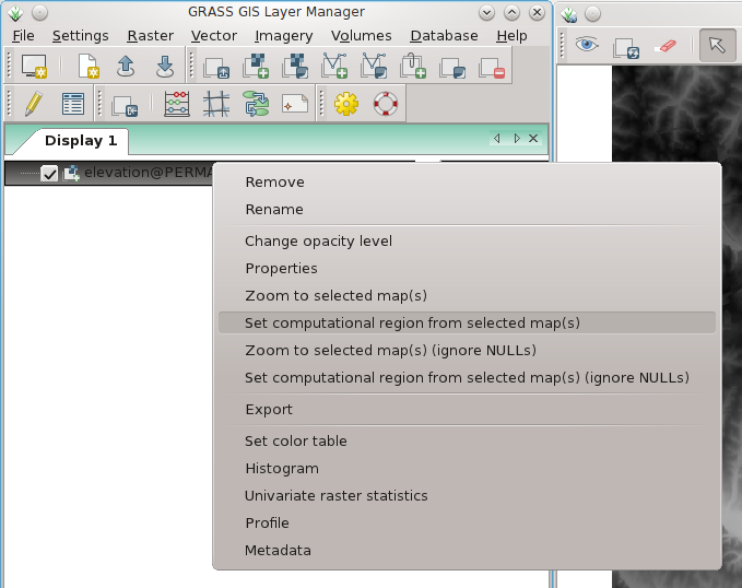
wxGUI: set computational region to selected map (right mouse button context menu on map name)
File history
Click on a date/time to view the file as it appeared at that time.
| Date/Time | Thumbnail | Dimensions | User | Comment | |
|---|---|---|---|---|---|
| current | 13:46, 7 April 2012 | | 679 × 538 (80 KB) | Neteler (talk | contribs) | wxGUI: set computational region to selected map (right mouse button context menu on map name) |
You cannot overwrite this file.
File usage
The following 3 pages use this file: