Uploads by Neteler
Jump to navigation
Jump to search
This special page shows all uploaded files.
| Date | Name | Thumbnail | Size | Description | Versions |
|---|---|---|---|---|---|
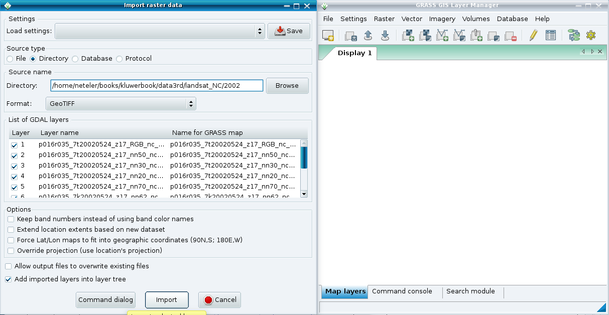
| 08:53, 1 May 2011 | WxGUI bulk raster import2.png (file) |  |
74 KB | Bulk import of GeoTIFF 2 | 1 |
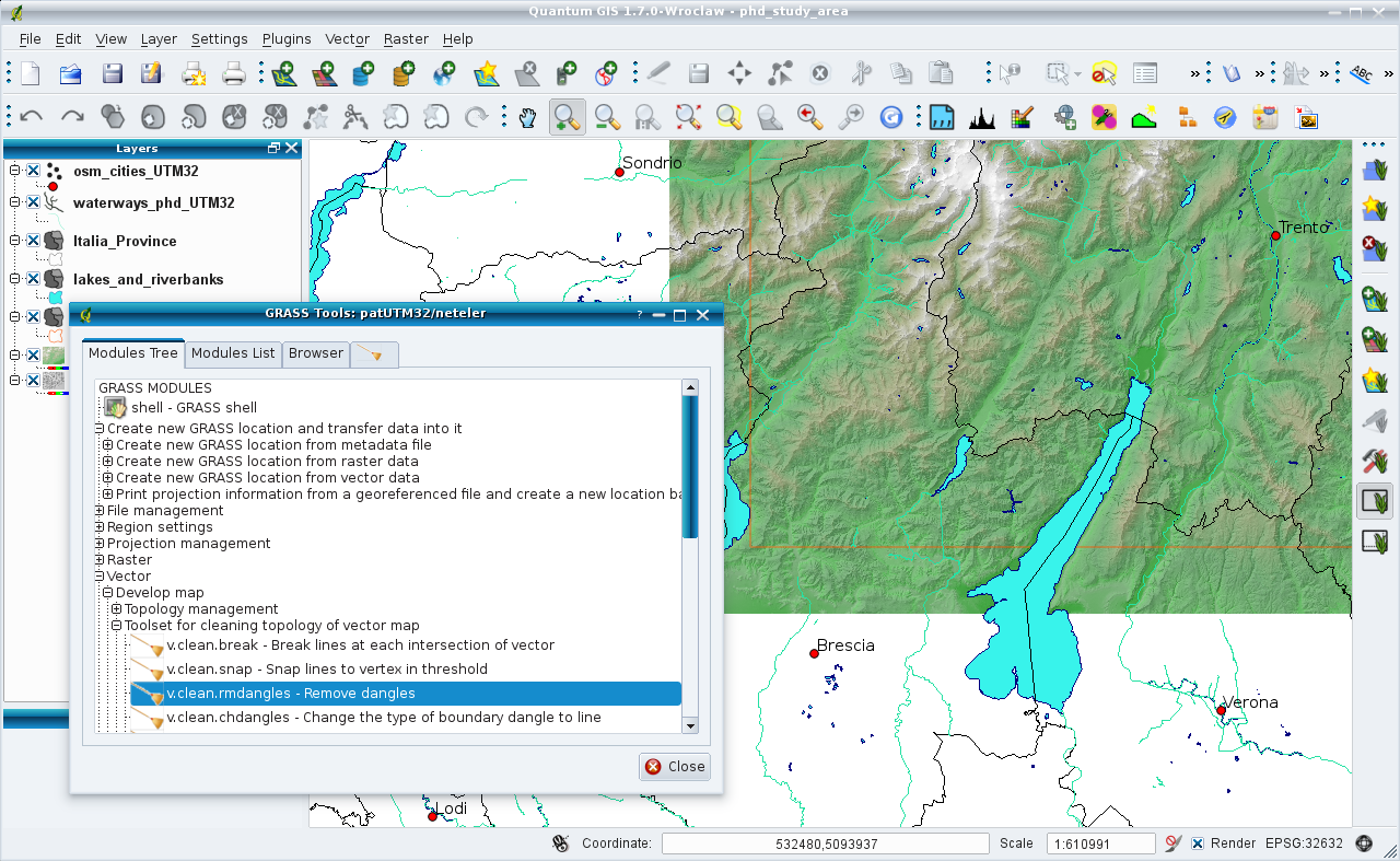
| 16:06, 5 June 2011 | QGIS17 GRASS64.png (file) |  |
696 KB | GRASS Toolbox in QGIS | 1 |
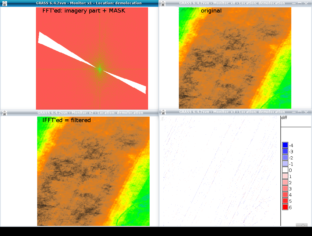
| 12:06, 29 July 2011 | Grass image destriping with FFT.png (file) |  |
434 KB | 2 | |
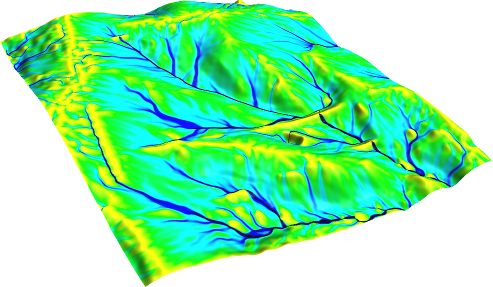
| 07:33, 29 August 2011 | Flowacc nviz.png (file) |  |
171 KB | Flow accumulation(NC dataset) with Multiple Flow Direction: # set computational region to map g.region rast=elev_lid792_1m -p # -f for MFD r.watershed -f elevation=elev_lid792_1m accumulation=flowacc # check map list g.list rast # show metadata r.info | 1 |
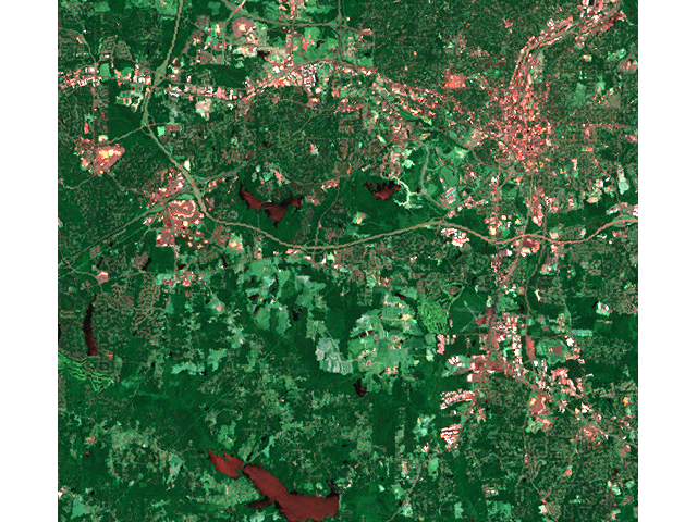
| 18:40, 26 September 2011 | Map lsat7 2002 r1g5b7.png (file) |  |
687 KB | NC Landsat map 2002 - false color composite | 1 |
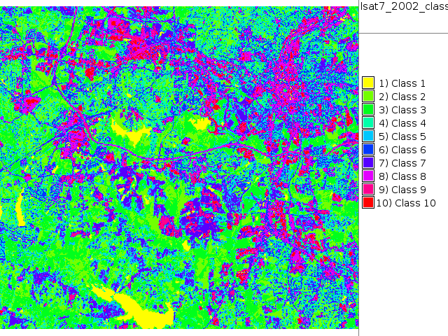
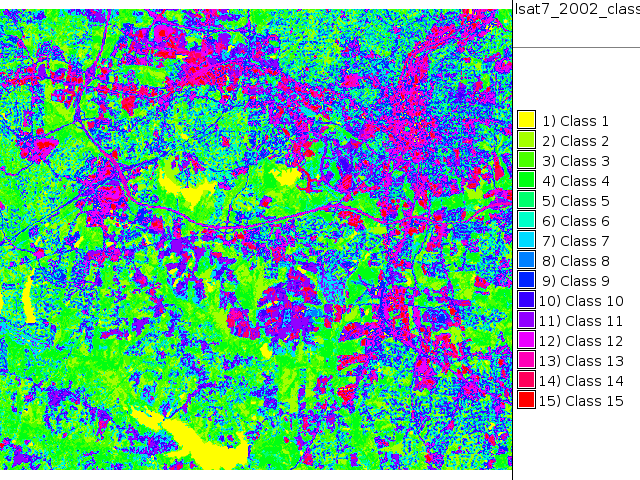
| 18:42, 26 September 2011 | Map lsat7 2002 class.png (file) |  |
164 KB | NC Landsat map 2002 - unsupervised classification | 1 |
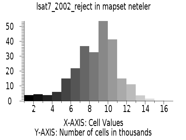
| 18:43, 26 September 2011 | Histogram lsat7 2002 reject.png (file) |  |
24 KB | NC Landsat map 2002 - unsupervised classification rejection map histogram | 1 |
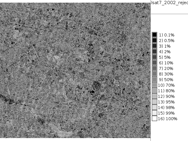
| 18:44, 26 September 2011 | Map lsat7 2002 reject.png (file) |  |
237 KB | NC Landsat map 2002 - unsupervised classification rejection map | 1 |
| 18:53, 26 September 2011 | Map lsat7 2002 class unsupervised 15.png (file) |  |
182 KB | NC Landsat map 2002 - unsupervised classification 15 classes | 1 |
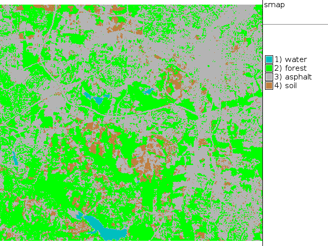
| 19:09, 26 September 2011 | Map lsat7 2002 class supervised.png (file) |  |
69 KB | NC Landsat map 2002 - SMAP supervised classification | 1 |
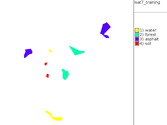
| 19:11, 26 September 2011 | Training map supervised.png (file) |  |
9 KB | NC Landsat map 2002 - digitized training areas | 1 |
| 14:14, 11 October 2011 | CleanTOPO2 map.png (file) |  |
1.06 MB | Rescaled map from http://www.shadedrelief.com/cleantopo2/#data | 1 |
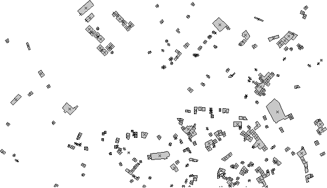
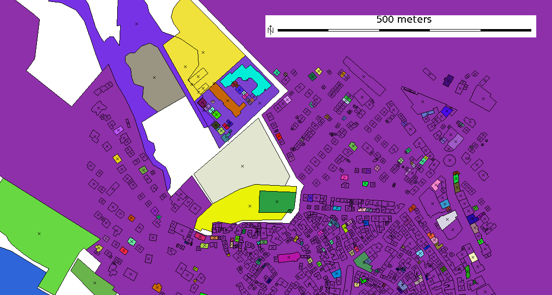
| 14:58, 22 October 2011 | Osm map2d buildings.png (file) |  |
14 KB | OSM 2D map, extracted buildings (using OSM tag) | 1 |
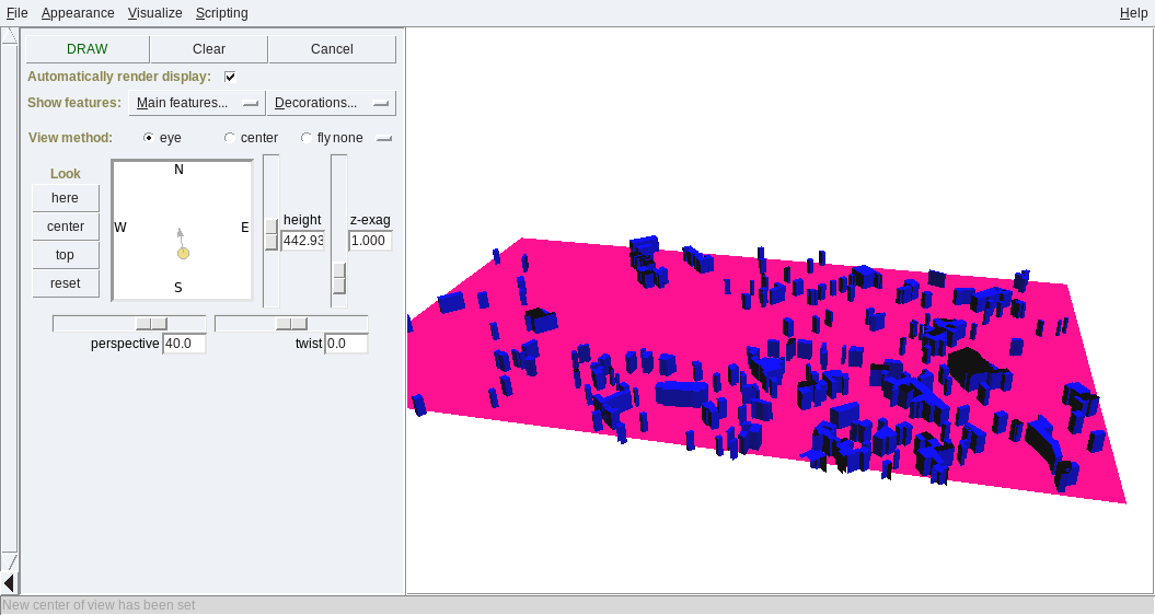
| 15:00, 22 October 2011 | Osm map3d buildings.png (file) |  |
44 KB | 3D buildings map from OSM | 1 |
| 13:28, 24 October 2011 | LausanneDemoDataset3dParaview 10.png (file) |  |
601 KB | With author's permission: http://www-pool.math.tu-berlin.de/~soeren/grass/modules/screenshots/LausanneDemoDataset3dParaview_10.png | 1 |
| 13:28, 24 October 2011 | LausanneDemoDataset3dParaview 4.png (file) |  |
299 KB | With author's permission: http://www-pool.math.tu-berlin.de/~soeren/grass/modules/screenshots/LausanneDemoDataset3dParaview_4.png | 1 |
| 19:49, 25 October 2011 | Osm map2d.png (file) |  |
64 KB | OSM 2D map with colorized buildings | 1 |
| 20:26, 27 October 2011 | Trentino egm2008 map 5m resampled.jpg (file) |  |
452 KB | Geoid undulations in Trentino, dereived from EGM2008 GIS Data (http://earth-info.nga.mil/GandG/wgs84/gravitymod/egm2008/egm08_gis.html) by resampling them with cubic convolution higher than original resolution | 1 |
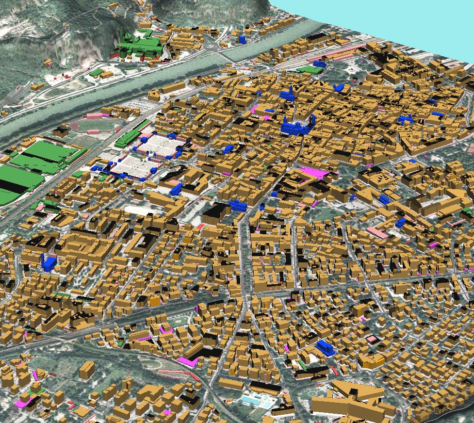
| 14:31, 24 November 2011 | Trento3d colors.jpg (file) |  |
316 KB | GRASS: building footprints extruded to 3D blocks, colorized by building type screenshot: M. Neteler (data courtesy City of Trento, Italy - http://webapps.comune.trento.it/ambiente/?LANG=it, see "Mostra Strumenti Dati" for geodata download) | 1 |
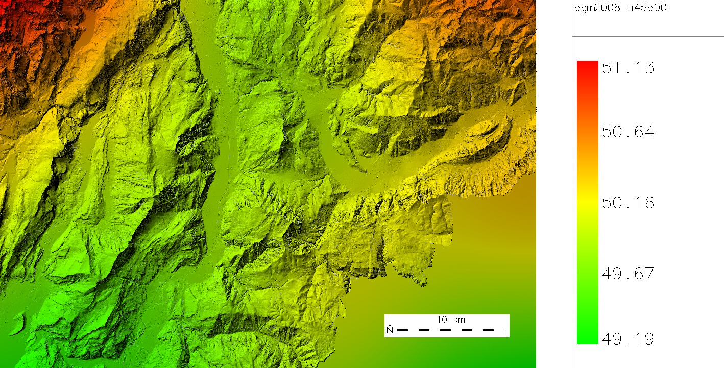
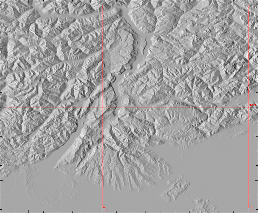
| 14:22, 1 December 2011 | Gmted2010 30N000E 20101117 shaded.png (file) |  |
535 KB | Global Multi-resolution Terrain Elevation Data 2010 (GMTED2010) example: Trento - Garda Lake - Verona area (Northern Italy): | 1 |
| 18:18, 2 January 2012 | Polygons overlapping.png (file) |  |
11 KB | Overlayed polygons after import from SHAPE file (Simple Features). Image donated by G. Allegri | 1 |
| 18:19, 2 January 2012 | Polygons overlapping cleaned.png (file) |  |
9 KB | Overlayed polygons topologically cleaned. Image donated by G. Allegri | 1 |
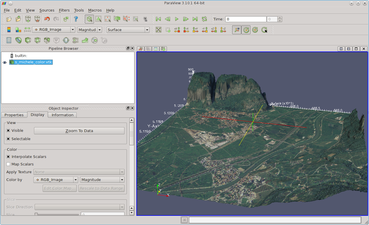
| 13:36, 11 January 2012 | Paraview fondazione mach 3D.png (file) |  |
716 KB | Fondazione Mach - S. Michele (Italy) area shown in ParaView | 1 |
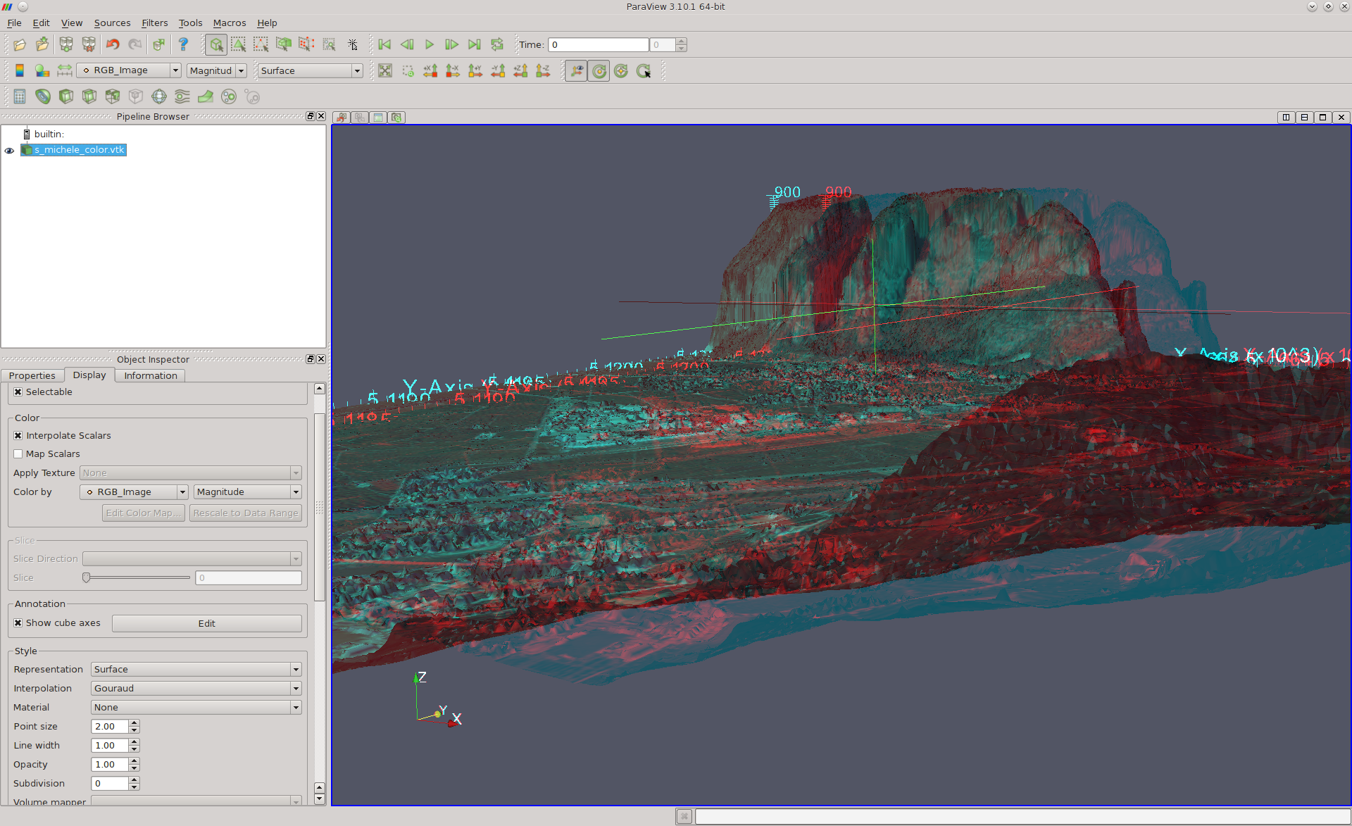
| 14:04, 11 January 2012 | Paraview fondazione mach ortho 3D.png (file) |  |
1.4 MB | .. with menu | 2 |
| 14:42, 10 February 2012 | Palsar in grass64.png (file) |  |
774 KB | PALSAR shown in GRASS | 1 |
| 23:04, 15 February 2012 | PASL1500701140134440805020299B.jpg (file) |  |
128 KB | PALSAR raw data screenshot | 1 |
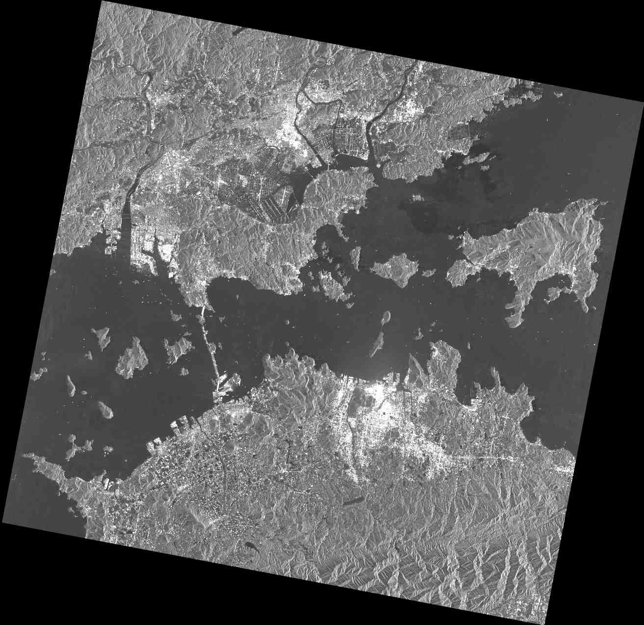
| 23:05, 15 February 2012 | Palsar osm japan2008.png (file) |  |
1.11 MB | PALSAR data set imported into GRASS GIS | 1 |
| 23:07, 15 February 2012 | GRASS-Zoom-in.png (file) |  |
975 bytes | Zoom Icon | 1 |
| 23:08, 15 February 2012 | GRASS-Layer-raster-add.png (file) |  |
491 bytes | Raster add icon | 1 |
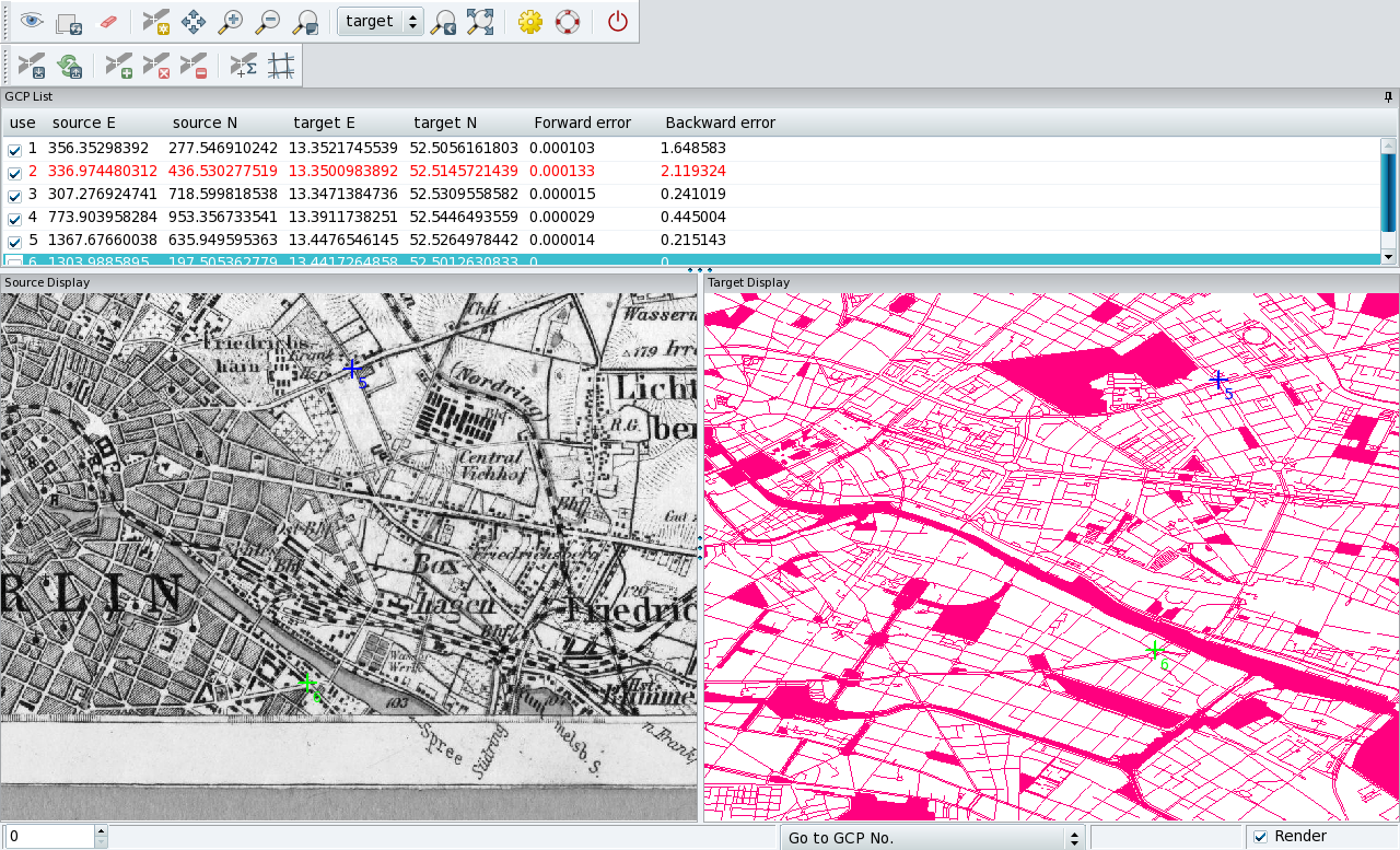
| 16:16, 8 March 2012 | Georectifier berlin.png (file) |  |
791 KB | Georectifying of historical maps (example Berlin) | 1 |
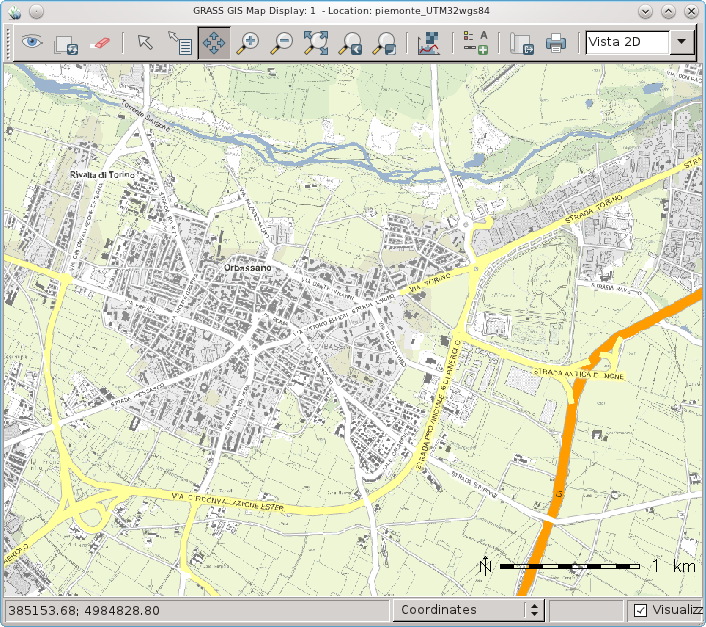
| 13:14, 27 March 2012 | WxGUI and Piedmont (Italy) WMS.png (file) | _WMS.png) |
379 KB | Piedmont (Italy) WMS data in wxGUI | 1 |
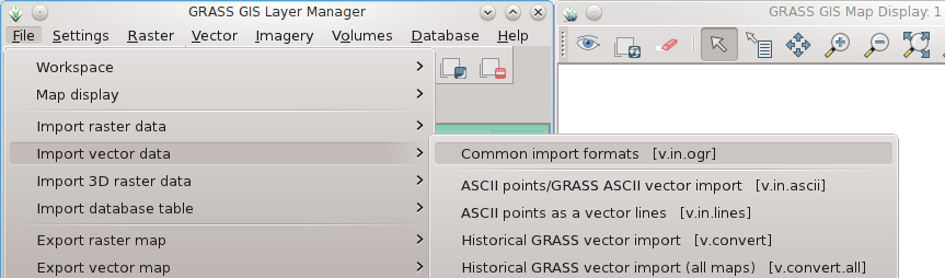
| 18:52, 1 April 2012 | WxGUI vector bulk import1.png (file) |  |
51 KB | Bulk import of vector files via menu | 1 |
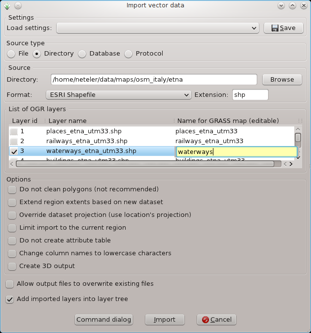
| 18:53, 1 April 2012 | WxGUI vector bulk import2.png (file) |  |
75 KB | Bulk import of multiple SHAPES via menu (files are auto-selected) | 1 |
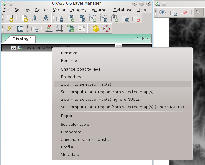
| 13:46, 7 April 2012 | Wxgui zoom to raster.png (file) |  |
90 KB | wxGUI: set map display to selected map (right mouse button context menu on map name) | 1 |
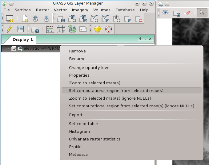
| 13:46, 7 April 2012 | Wxgui computat region to raster.png (file) |  |
80 KB | wxGUI: set computational region to selected map (right mouse button context menu on map name) | 1 |
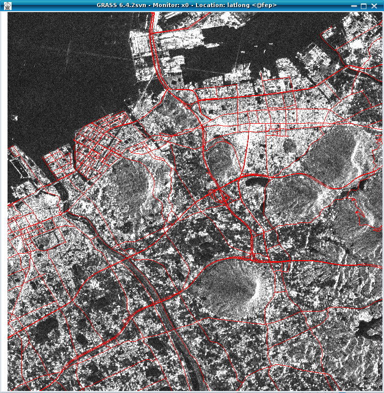
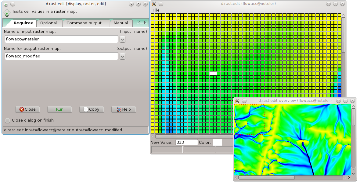
| 21:33, 30 May 2012 | D rast edit grass7.png (file) |  |
198 KB | Raster map editor in GRASS 7 | 1 |
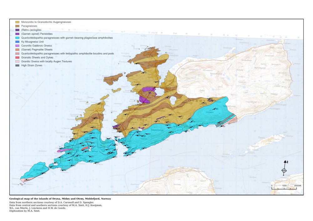
| 12:55, 4 June 2012 | Geomap klein.jpg (file) |  |
115 KB | Geology map of Moldefjord, Norway by Willem van Mierlo (from GRASS screenshots) | 1 |
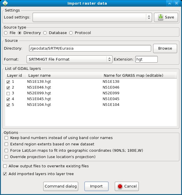
| 12:14, 10 July 2012 | WxGUI bulk srtm import.jpg (file) |  |
85 KB | Bulk import of SRTM (remember to add 'hgt' into the extension field) | 1 |
| 13:27, 11 July 2012 | OSGeo 220pix.png (file) |  |
16 KB | Latest logo | 2 |
| 11:54, 16 July 2012 | Scott.jpg (file) |  |
9 KB | 1 | |
| 11:55, 16 July 2012 | Benjamin.png (file) |  |
22 KB | 1 | |
| 11:55, 16 July 2012 | Cedric.jpg (file) |  |
6 KB | 1 | |
| 11:55, 16 July 2012 | DaveSampson.png (file) |  |
39 KB | 1 | |
| 11:55, 16 July 2012 | Hamish.jpg (file) |  |
3 KB | 1 | |
| 11:55, 16 July 2012 | Helena.jpg (file) |  |
11 KB | 1 | |
| 11:55, 16 July 2012 | Maciek.png (file) |  |
19 KB | 1 | |
| 11:59, 16 July 2012 | Radim.jpg (file) |  |
3 KB | 1 | |
| 12:15, 16 July 2012 | Markus.jpg (file) |  |
2 KB | 2 | |
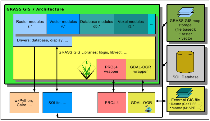
| 19:16, 10 August 2012 | Grass7 arch.png (file) |  |
35 KB | GRASS 7 architecture | 1 |
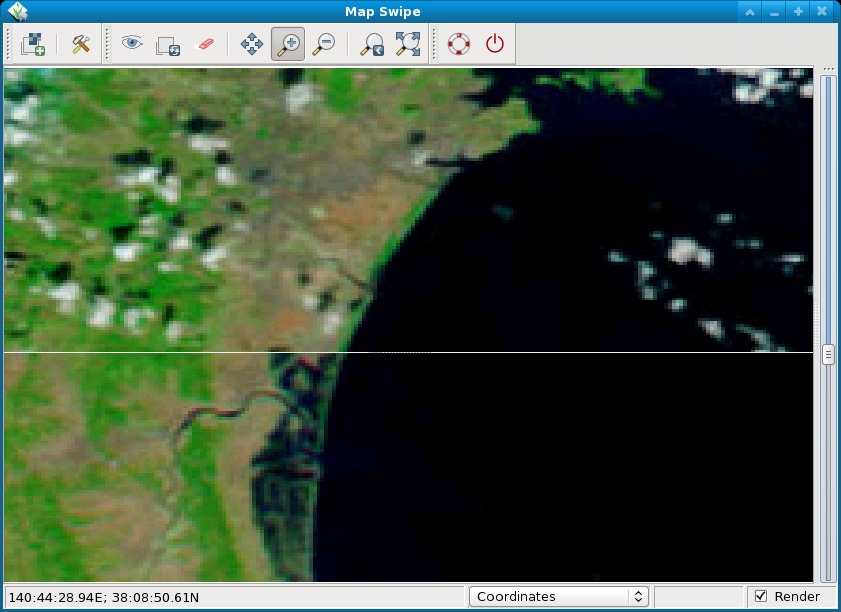
| 10:34, 13 August 2012 | Tsunami japan2011 sendai.jpg (file) |  |
99 KB | Pre and post disaster images of the tsunami in Japan in 2011. The MODIS image taken on February 26, 2011, shows the coastline under normal conditions while the MODIS image on March 13, 2011, shows a clear view of tsunami flooding along the coastline. Wate | 1 |