File:Training map supervised.png: Difference between revisions
Jump to navigation
Jump to search
(NC Landsat map 2002 - digitized training areas) |
(No difference)
|
Latest revision as of 19:11, 26 September 2011
NC Landsat map 2002 - digitized training areas
File history
Click on a date/time to view the file as it appeared at that time.
| Date/Time | Thumbnail | Dimensions | User | Comment | |
|---|---|---|---|---|---|
| current | 19:11, 26 September 2011 | 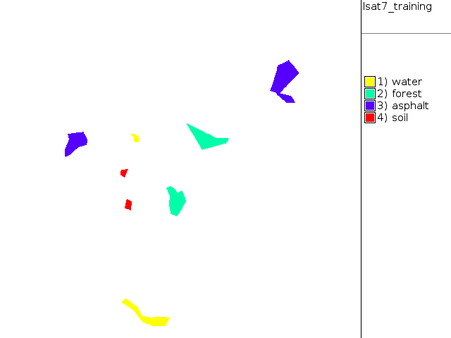 | 640 × 480 (9 KB) | Neteler (talk | contribs) | NC Landsat map 2002 - digitized training areas |
You cannot overwrite this file.
File usage
The following 2 pages use this file: