Search results
Jump to navigation
Jump to search
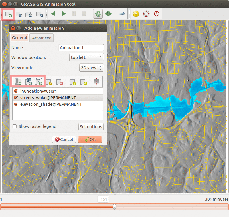 Inundation computed with {{addonCmd|r.stream.distance}} and {{addonCmd|r.lake.series}} and visualized in Animation Tool. ...(800 × 760 (468 KB)) - 04:38, 21 July 2017
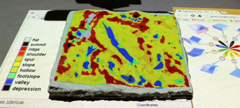 Tangible Landscape: Landforms computed with {{AddonCmd|r.geomorphon}} ...(800 × 363 (197 KB)) - 03:15, 22 April 2016
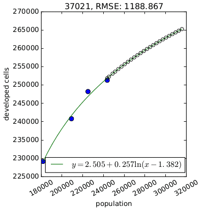 Per capita development for one county derived by {{AddonCmd|r.futures.demand}}. ...(403 × 412 (11 KB)) - 03:21, 29 March 2016
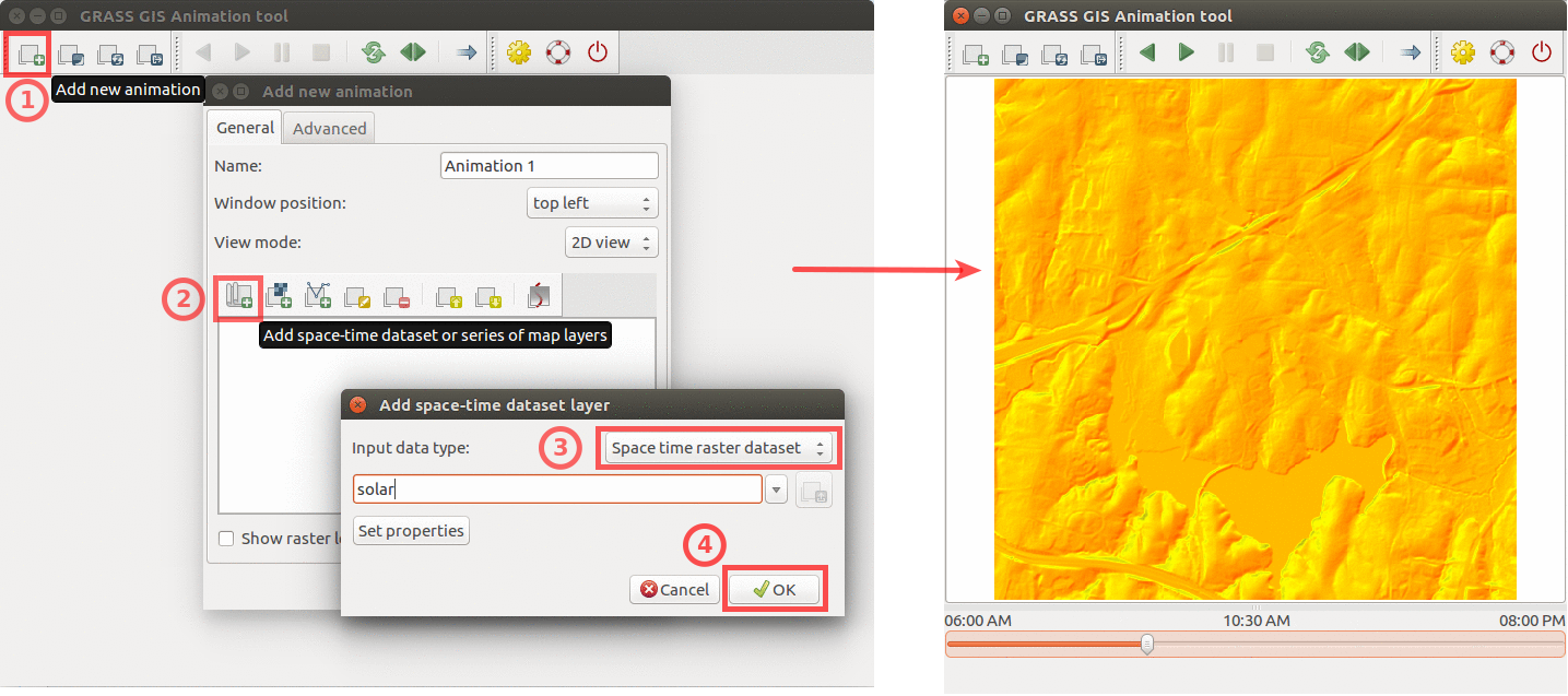 ...GIS animation tool to animate solar irradiance during a day. Computed by {{addonCmd|r.sun.hourly}}. ...(1,435 × 637 (439 KB)) - 22:15, 9 April 2017
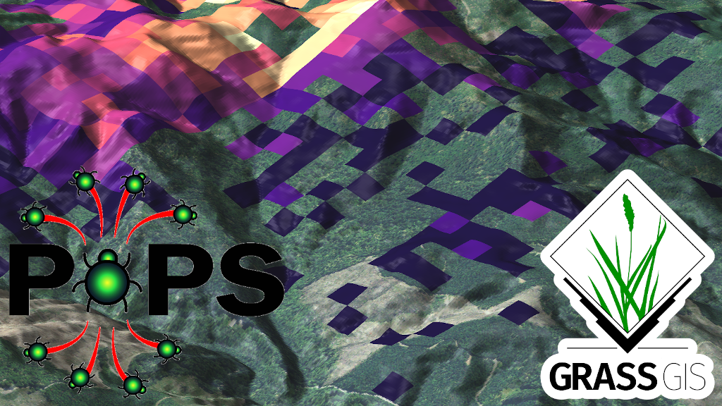 See {{addonCmd|r.pops.spread}} module in GRASS Addons for citation. ...(1,024 × 576 (1.04 MB)) - 18:00, 22 April 2021


