Search results
Jump to navigation
Jump to search
Page title matches
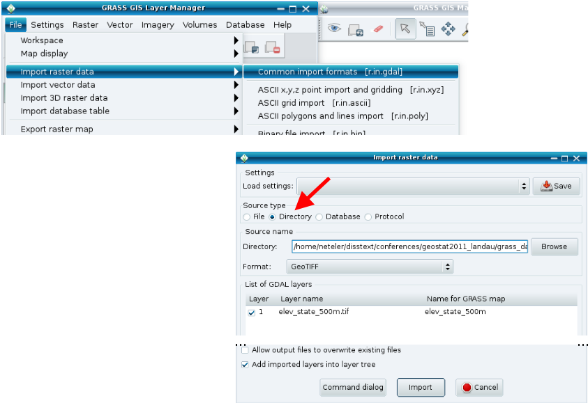 GRASS Raster Import for tutorial from geostat2012 seminar ...(843 × 579 (99 KB)) - 15:51, 25 April 2013
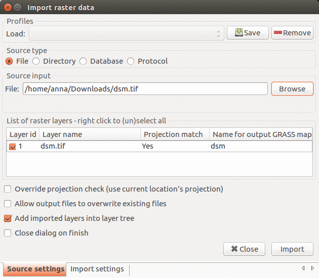 Import raster data dialog in GRASS GIS 7.2.1 ...(630 × 550 (130 KB)) - 14:02, 22 June 2017
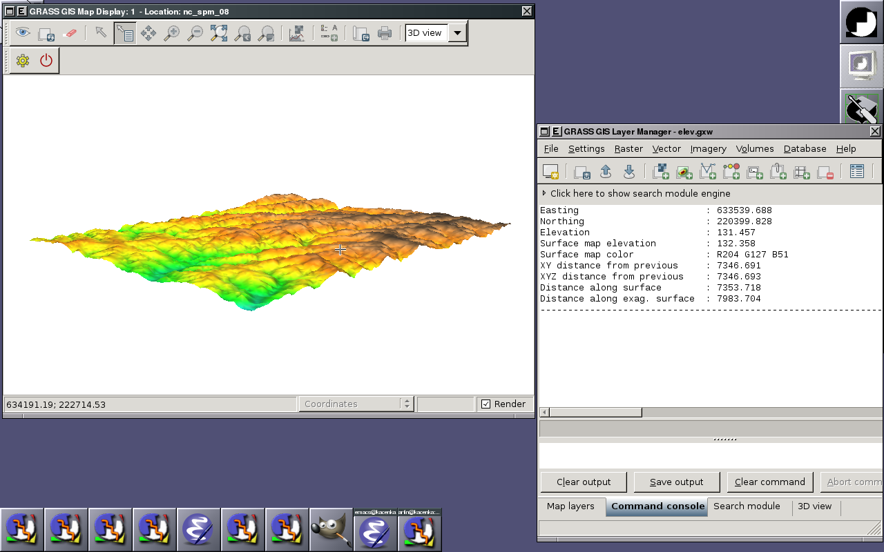 Raster querying (2010-07-01) ...(1,280 × 800 (221 KB)) - 14:25, 1 July 2010
 (639 × 638 (13 KB)) - 19:35, 17 September 2012
 (555 × 506 (78 KB)) - 14:47, 15 October 2010
 (555 × 505 (241 KB)) - 14:51, 15 October 2010
 (553 × 505 (277 KB)) - 14:51, 15 October 2010
 (560 × 510 (501 KB)) - 16:07, 9 October 2010
 (549 × 502 (51 KB)) - 16:17, 9 October 2010
 (553 × 504 (355 KB)) - 15:13, 15 October 2010
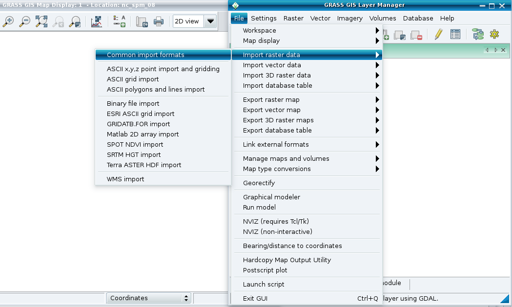 (1,049 × 630 (73 KB)) - 08:53, 1 May 2011
 (554 × 505 (361 KB)) - 15:14, 15 October 2010
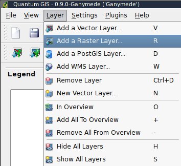 (354 × 324 (29 KB)) - 21:54, 16 February 2009
 (553 × 502 (239 KB)) - 15:14, 15 October 2010
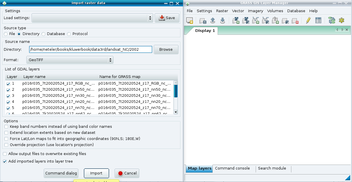 (1,213 × 628 (74 KB)) - 08:53, 1 May 2011
 (554 × 503 (153 KB)) - 15:05, 9 October 2010
 Raster add icon ...(24 × 24 (491 bytes)) - 23:08, 15 February 2012
 (554 × 504 (188 KB)) - 15:25, 9 October 2010
 (325 × 364 (63 KB)) - 18:03, 12 February 2016
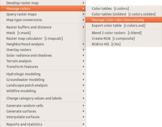 Manage color table interactively in the Raster menu ...(331 × 259 (43 KB)) - 18:06, 12 February 2016


Page text matches
 ps.map sample showing 4 raster maps on a single page by saving each raster as EPS first. ...(646 × 512 (65 KB)) - 07:07, 25 October 2007
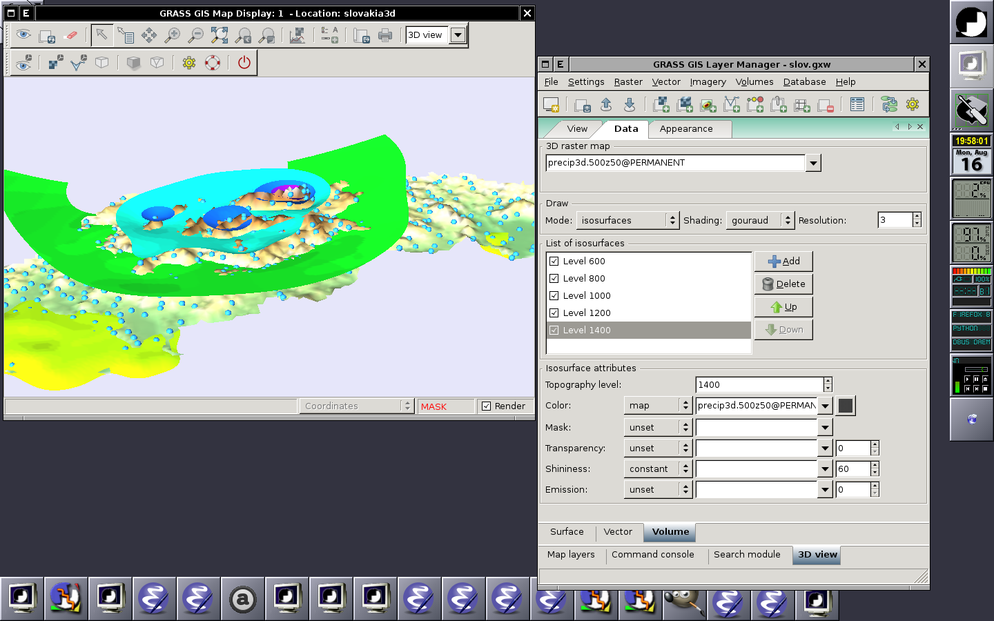 Displaying raster (surface), 2D vector and 3D raster (volume) in the 3D space (2010-08-16) ...(1,440 × 900 (259 KB)) - 18:04, 16 August 2010
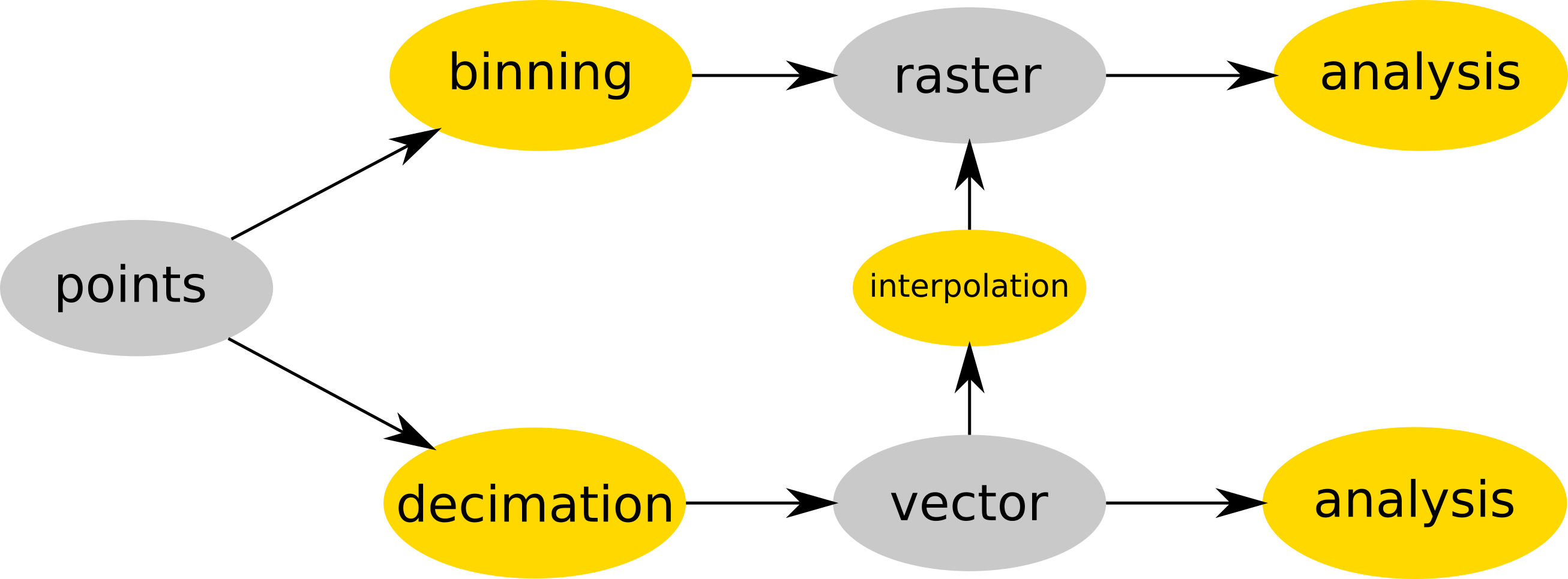 ...dar), converted to vector map and then interpolated (e.g. v.surf.rst) into raster or analyzed as vector map (e.g. v.vect.stats). ...(2,613 × 966 (127 KB)) - 15:17, 19 July 2017
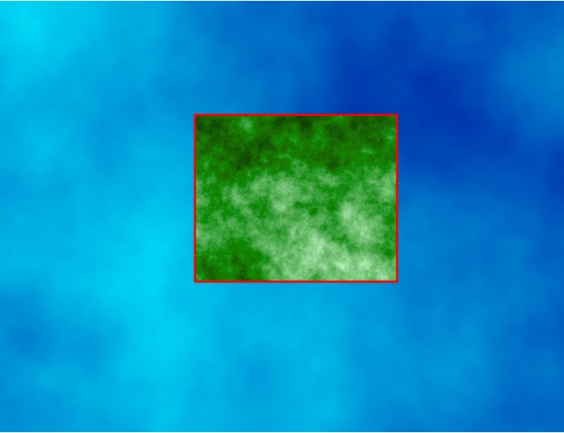 Computational region concept showing one large raster (blue) and one other raster with smaller extent (green) which matches the current computational region g.region raster=elevation ...(798 × 613 (250 KB)) - 13:40, 24 March 2017
 g.rename raster=hunt.1,hunt_red g.rename raster=hunt.2,hunt_green ...(499 × 375 (219 KB)) - 02:58, 25 September 2016
- Raster add icon ...(24 × 24 (491 bytes)) - 23:08, 15 February 2012
 nc_spm_08 raster surface trials ...(957 × 413 (149 KB)) - 14:55, 27 February 2010
 Raster with three file as input ...(561 × 510 (501 KB)) - 14:37, 15 October 2010
 nc_spm_08 raster surface trials (v.surf.rst) ...(841 × 650 (428 KB)) - 14:57, 27 February 2010
 Raster with one file as input ...(569 × 517 (362 KB)) - 14:36, 15 October 2010
 Raster with two file as input ...(568 × 515 (450 KB)) - 14:37, 15 October 2010
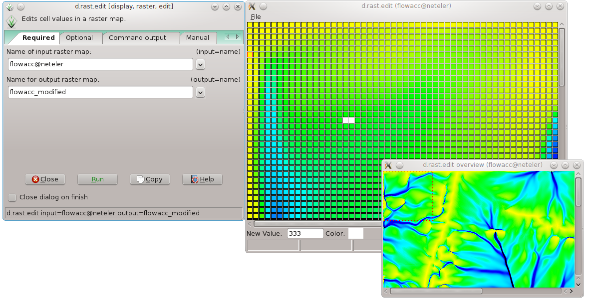 Raster map editor in GRASS 7 ...(1,180 × 602 (198 KB)) - 21:33, 30 May 2012
- Raster querying (2010-07-01) ...(1,280 × 800 (221 KB)) - 14:25, 1 July 2010
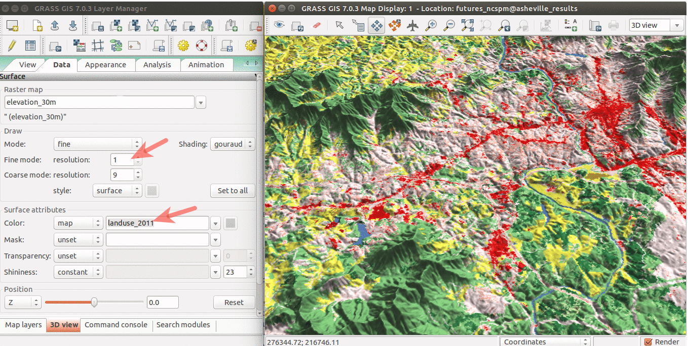 Draped NLCD 2011 over NED elevation raster. ...(1,358 × 684 (482 KB)) - 15:55, 28 March 2016
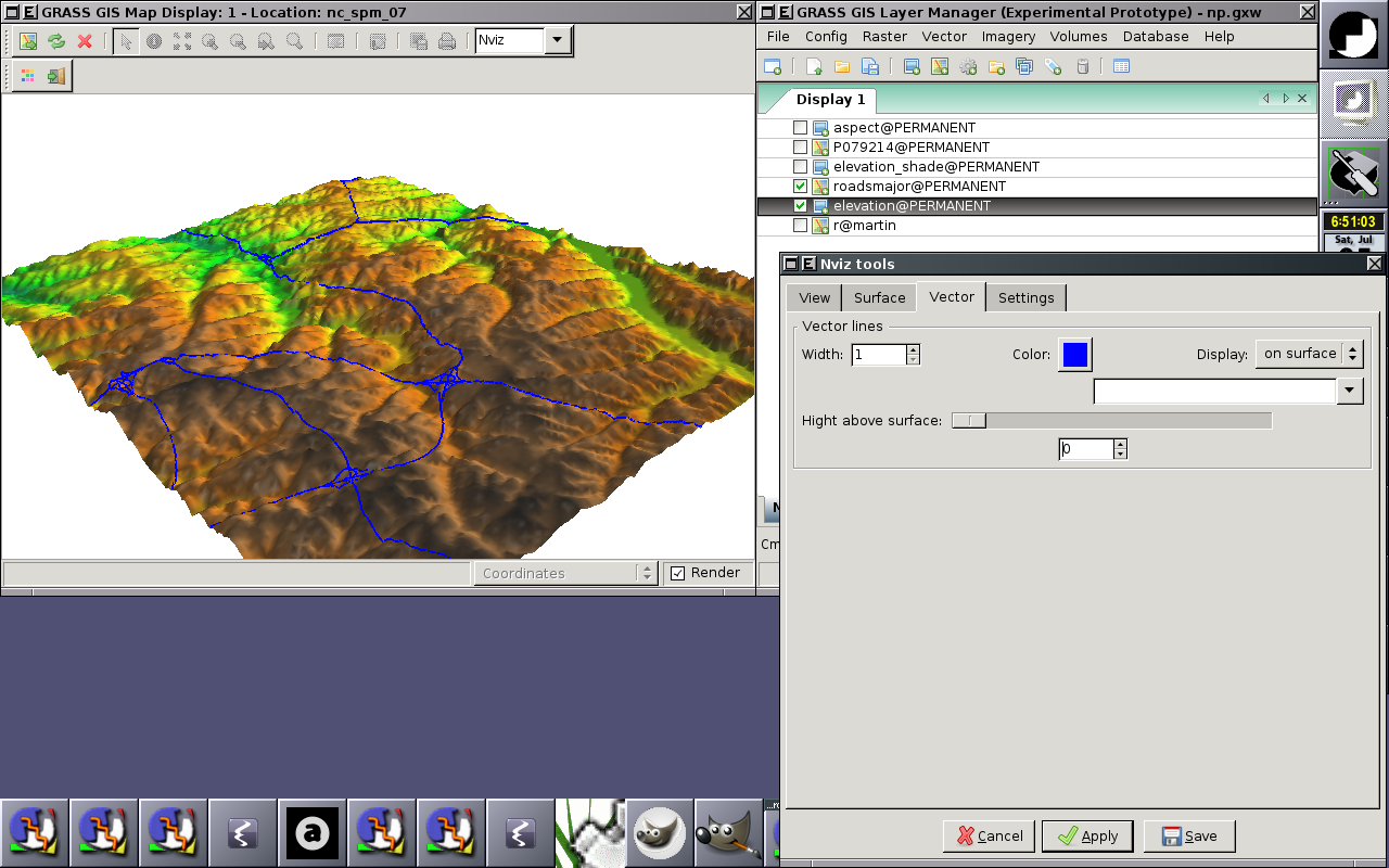 Display raster and vector (2D lines) data ...(1,280 × 800 (388 KB)) - 04:57, 5 July 2008
 nc_spm_08 elev_lid792_cont1m contour to raster surface trials ...(842 × 649 (425 KB)) - 14:54, 27 February 2010
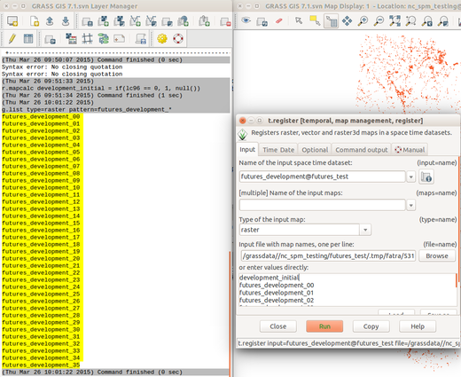 List raster maps by patterns for t.register ...(520 × 425 (148 KB)) - 18:00, 12 February 2016
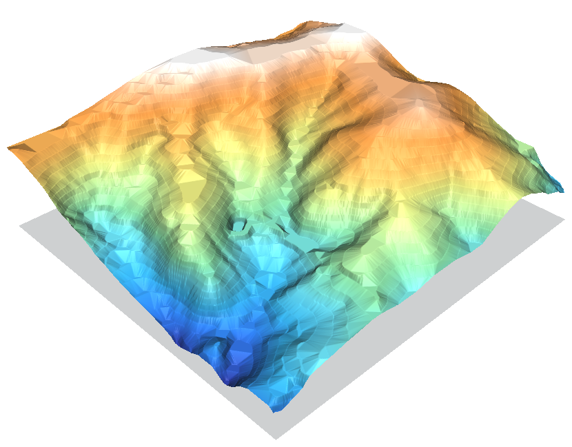 nc_spm_08 elev_lid792_cont1m contour to raster surface trials ...(830 × 649 (373 KB)) - 14:48, 27 February 2010
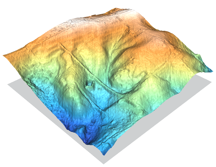 nc_spm_08 raster surface trials (v.out.ascii | r.in.xyz + r.surf.nnbathy) ...(837 × 650 (439 KB)) - 14:56, 27 February 2010
 nc_spm_08 elev_lid792_cont1m contour to raster surface trials ...(830 × 649 (315 KB)) - 14:49, 27 February 2010


