Search results
Jump to navigation
Jump to search
Page title matches
 (650 × 700 (53 KB)) - 19:23, 24 March 2017

Page text matches
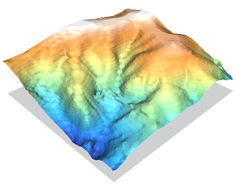 nc_spm_08 elev_lid792_cont1m contour to raster surface trials ...(830 × 649 (321 KB)) - 14:49, 27 February 2010
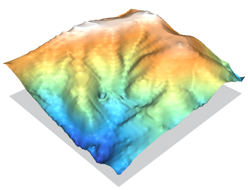 nc_spm_08 elev_lid792_cont1m contour to raster surface trials ...(845 × 650 (303 KB)) - 00:13, 28 February 2010
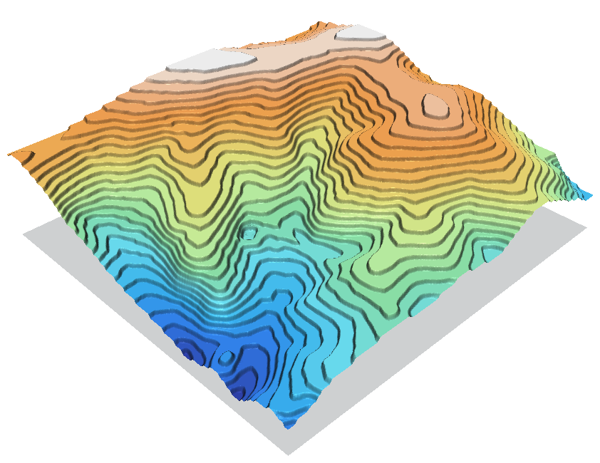 nc_spm_08 elev_lid792_cont1m contour to raster surface trials ...(842 × 650 (325 KB)) - 14:50, 27 February 2010
 nc_spm_08 elev_lid792_cont1m contour to raster surface trials ...(845 × 650 (268 KB)) - 00:14, 28 February 2010
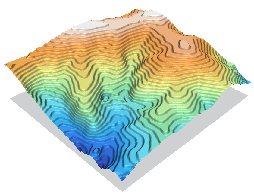 nc_spm_08 elev_lid792_cont1m contour to raster surface trials ...(843 × 649 (384 KB)) - 14:51, 27 February 2010
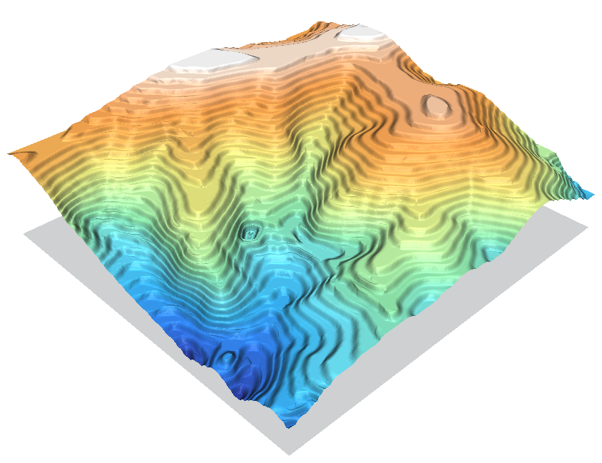 nc_spm_08 elev_lid792_cont1m contour to raster surface trials ...(844 × 649 (404 KB)) - 14:51, 27 February 2010
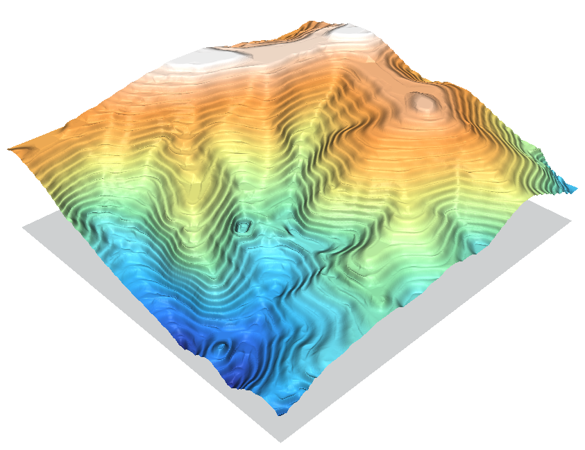 nc_spm_08 elev_lid792_cont1m contour to raster surface trials ...(843 × 649 (411 KB)) - 14:52, 27 February 2010
 nc_spm_08 elev_lid792_cont1m contour to raster surface trials ...(845 × 649 (413 KB)) - 14:53, 27 February 2010
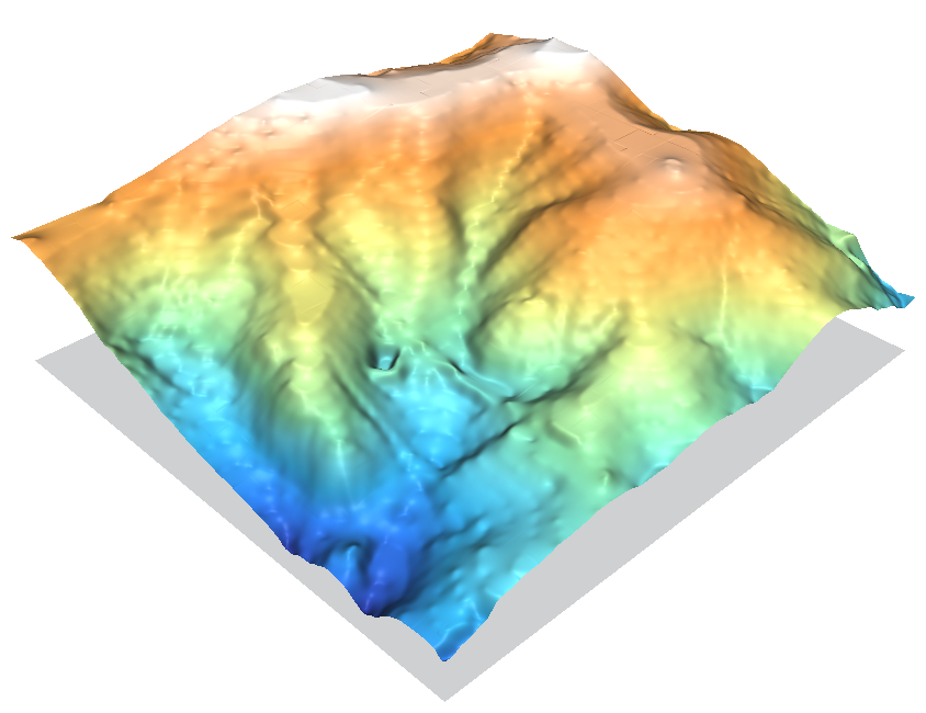 nc_spm_08 elev_lid792_cont1m contour to raster surface trials ...(844 × 650 (290 KB)) - 14:53, 27 February 2010
 nc_spm_08 elev_lid792_cont1m contour to raster surface trials ...(842 × 649 (425 KB)) - 14:54, 27 February 2010
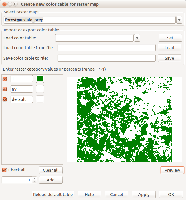
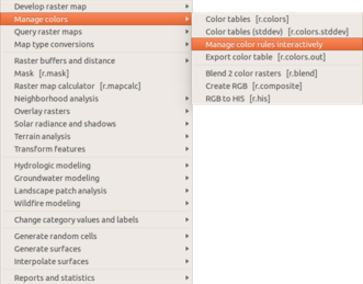 Manage color table interactively in the Raster menu ...(331 × 259 (43 KB)) - 18:06, 12 February 2016
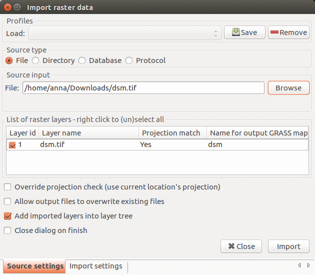 Import raster data dialog in GRASS GIS 7.2.1 ...(630 × 550 (130 KB)) - 14:02, 22 June 2017
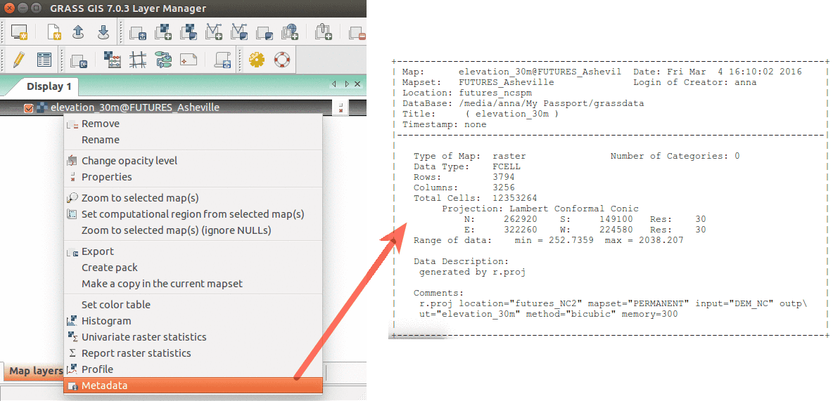 Show raster map metadata by right click on layer ...(1,184 × 571 (65 KB)) - 03:41, 17 March 2016
 First prototype of wxNviz (alpha) -- load raster map from layer tree ...(1,280 × 800 (275 KB)) - 19:45, 27 June 2008
 Cumulative viewshed draped over elevation raster (Boston 2017 workshop) ...(914 × 731 (1.08 MB)) - 20:28, 19 July 2017
 Vector digitizer - background raster maps with different opacity level ...(1,280 × 800 (204 KB)) - 18:04, 31 July 2008
 How to add multiple raster maps and filter them by name. ...(956 × 626 (320 KB)) - 20:54, 21 June 2017
 Add elev_lid792_1m raster map layer using d.rast dialog from toolbar with arrows ...(780 × 424 (125 KB)) - 02:12, 24 March 2017
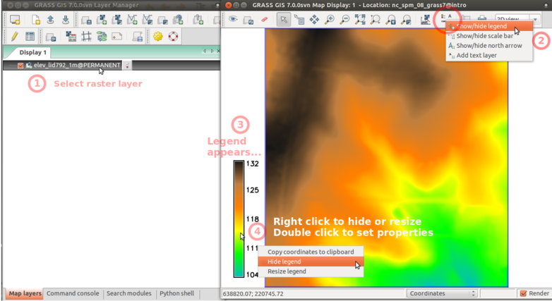 Add raster legend in wxGUI screenshot with numbers and descriptions ...(782 × 427 (174 KB)) - 02:36, 24 March 2017
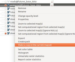 Copy raster map to the current mapset using layer context menu ...(256 × 212 (40 KB)) - 18:02, 12 February 2016


