Uncategorized files
Jump to navigation
Jump to search
Showing below up to 50 results in range #201 to #250.
-
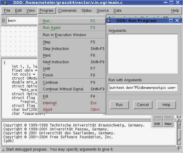
Ddd run1.png 606 × 508; 23 KB
-
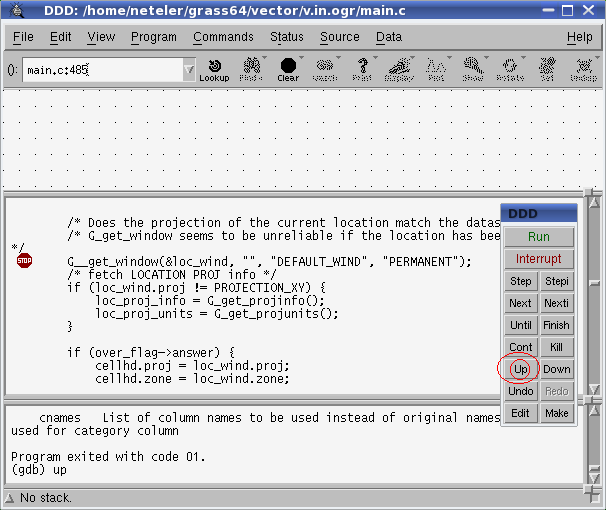
Ddd run2.png 606 × 510; 20 KB
-
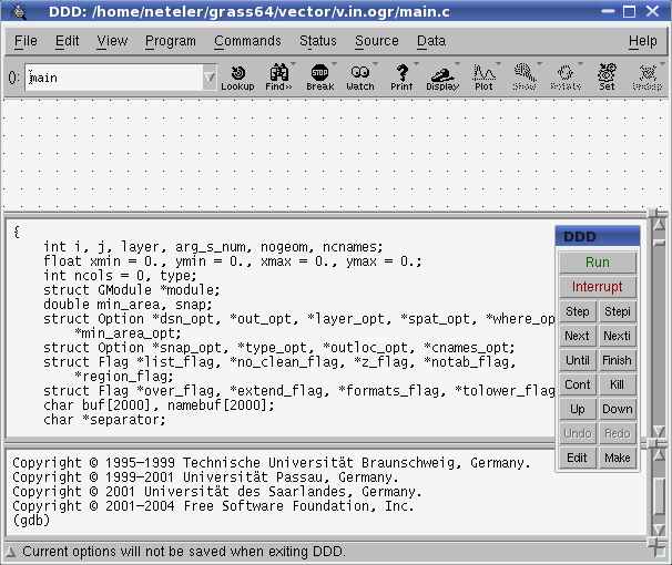
Ddd startup.png 606 × 510; 21 KB
-
Debian073-grass.jpg 1,024 × 768; 136 KB
-
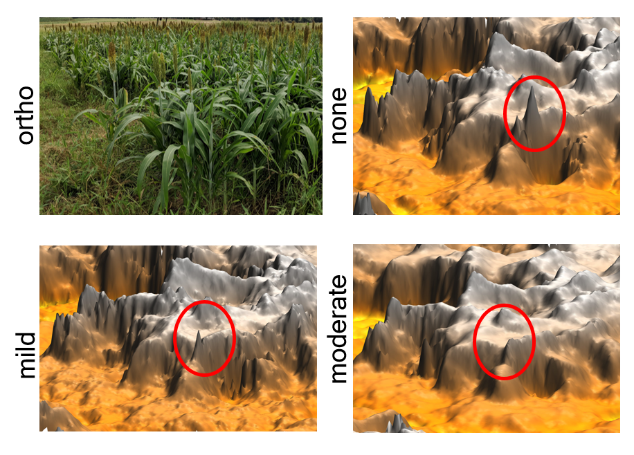
DepthFiltering.png 916 × 658; 1.22 MB
-
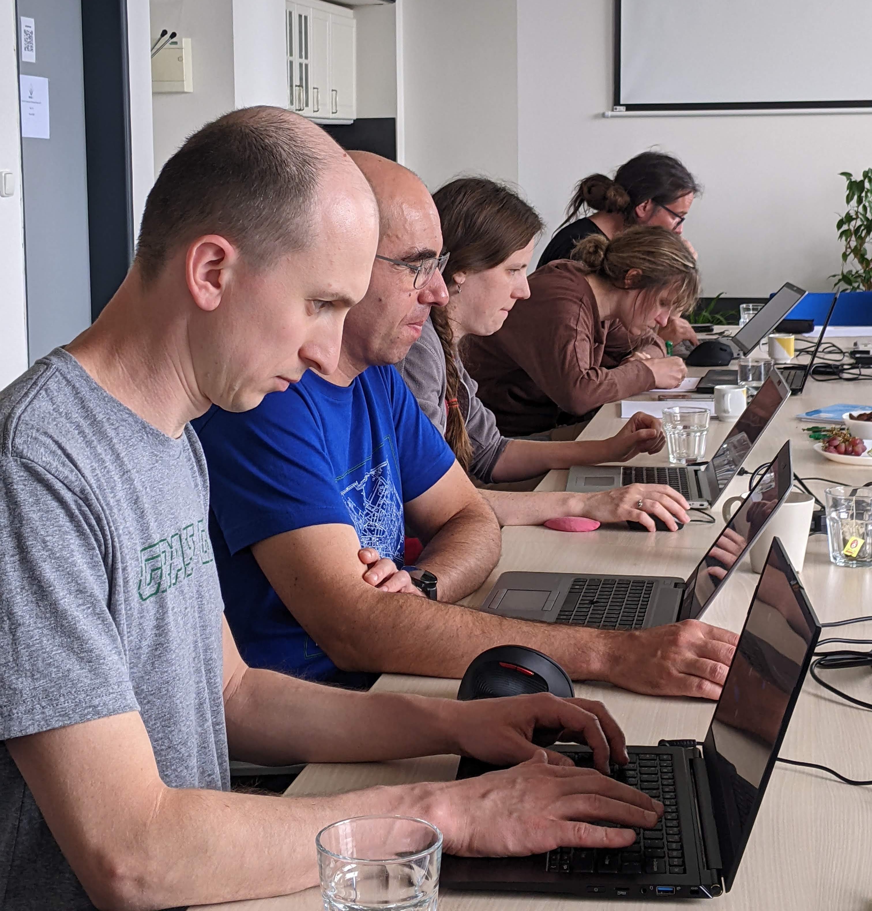
Devs at work.jpg 3,024 × 3,159; 1.1 MB
-
DidatticaOpenGIS Mezzini.pdf ; 540 KB
-
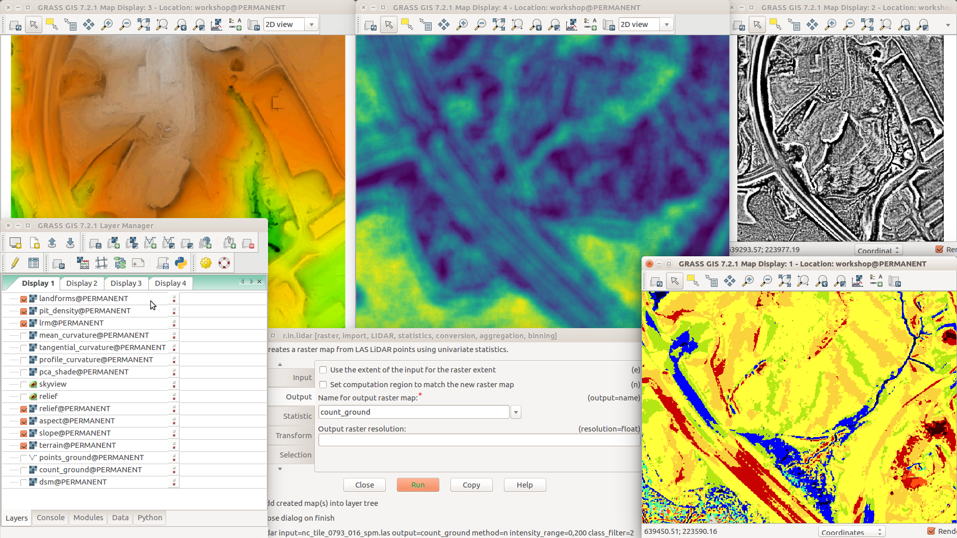
Different terrain analyses and visualizations in multiple Map Displays.png 1,878 × 1,056; 1,014 KB
-
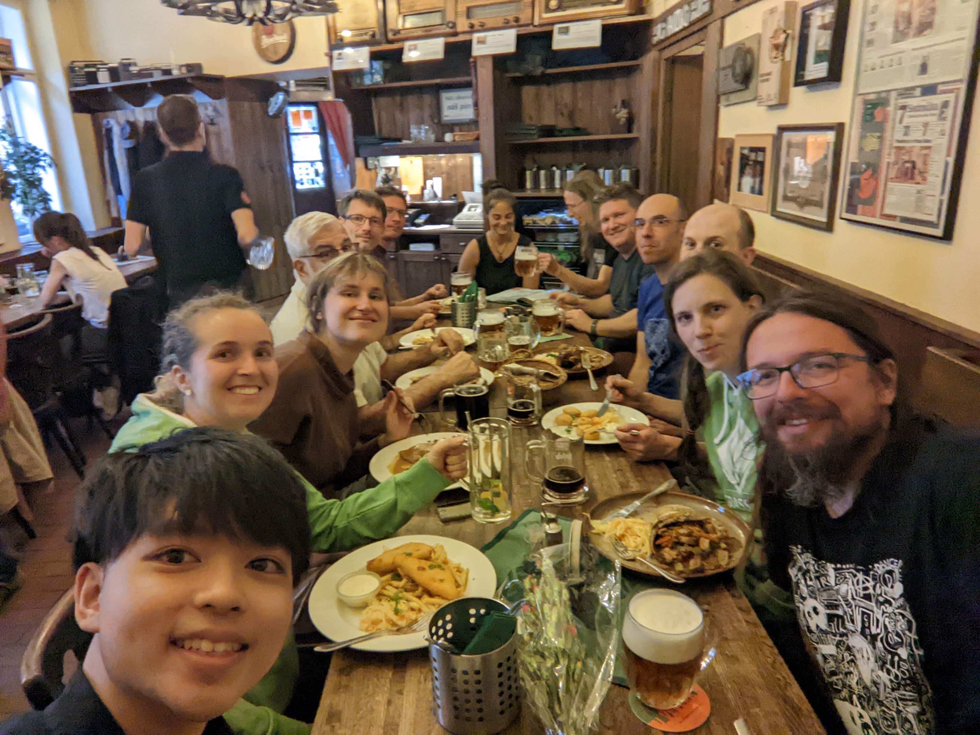
Dinner day 1.jpg 3,264 × 2,448; 559 KB
-
DipSA.jpg 1,890 × 1,008; 664 KB
-
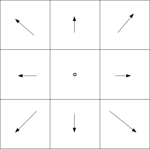
Directions.png 523 × 518; 6 KB
-
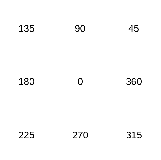
Directions grass.png 523 × 518; 10 KB
-
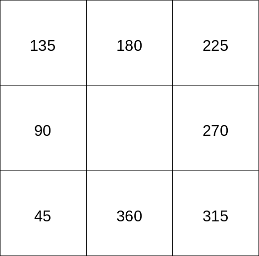
Directions wind.png 523 × 518; 10 KB
-
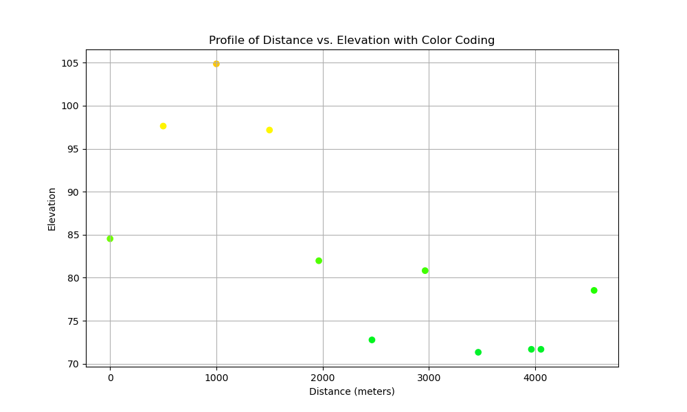
Distance Elevation Color Coded.png 1,000 × 600; 25 KB
-
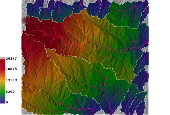
Distance outlets.png 593 × 400; 282 KB
-
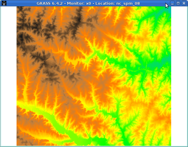
Dmon elevation.png 648 × 506; 307 KB
-
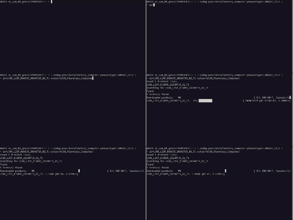
Download Planetary Computer.gif 480 × 240; 277 KB
-
Downloadlink screenshot.png 354 × 59; 8 KB
-
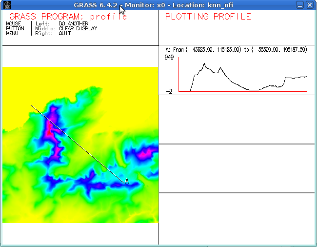
Dprofile-elevation.png 650 × 506; 80 KB
-
Dstance outlet sub.png 593 × 400; 335 KB
-
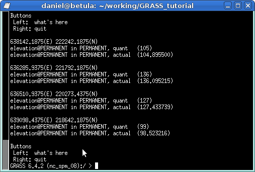
Dwhatrast.png 507 × 342; 15 KB
-
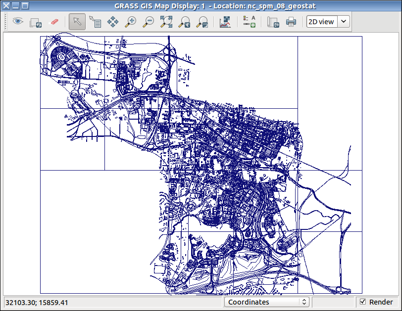
Dxf display.png 812 × 629; 69 KB
-
ENEA logo.gif 1,300 × 391; 87 KB
-
Elev lid792 bepts.nn.ortho3x.png 957 × 413; 149 KB
-
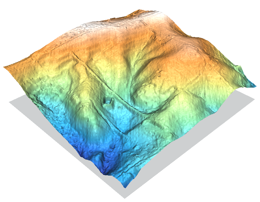
Elev lid792 bepts.nn.png 837 × 650; 439 KB
-
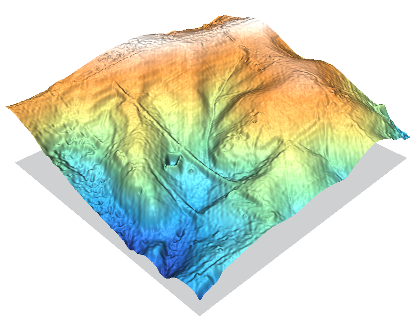
Elev lid792 bepts.rst.png 841 × 650; 428 KB
-
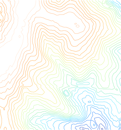
Elev lid792 cont1m.png 422 × 454; 88 KB
-
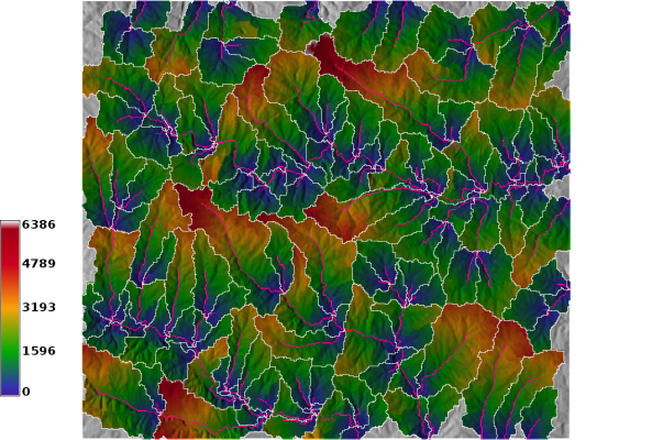
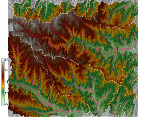
Elevation out subbasin.png 501 × 402; 364 KB
-
Elevation outlet.png 501 × 402; 332 KB
-
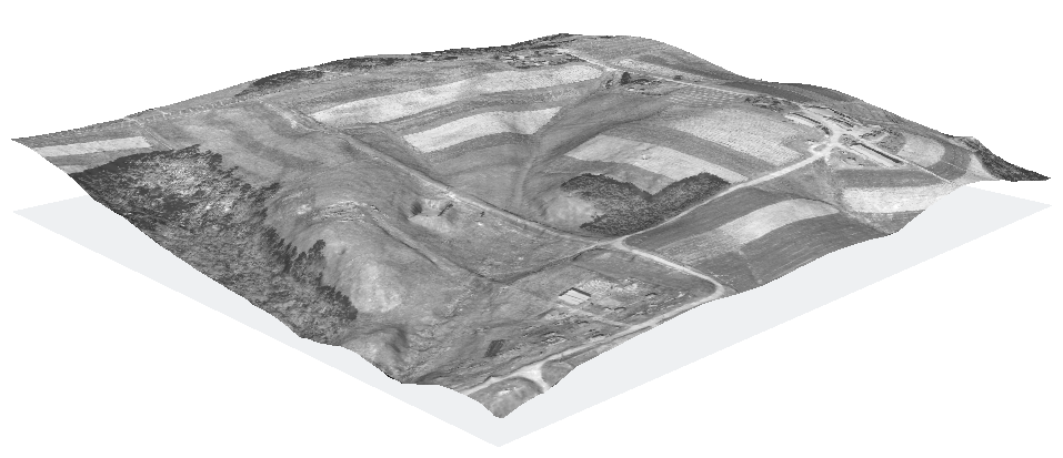
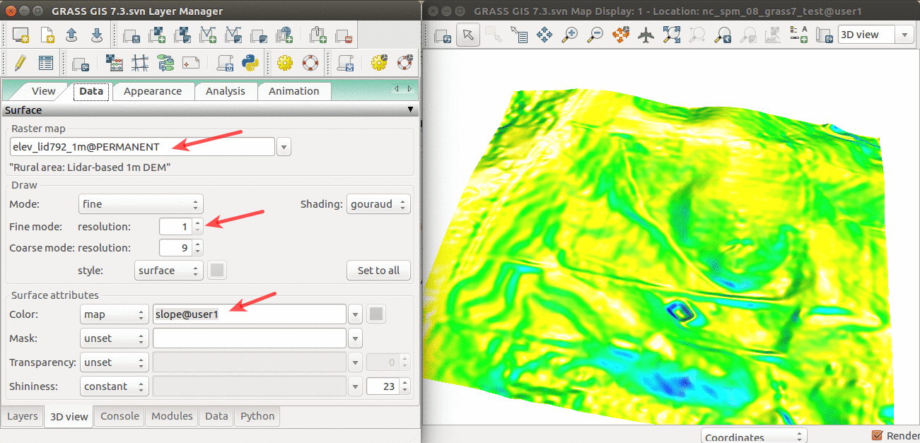
Elevation slope 3D view.png 1,301 × 627; 565 KB
-
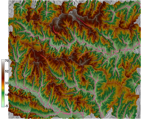
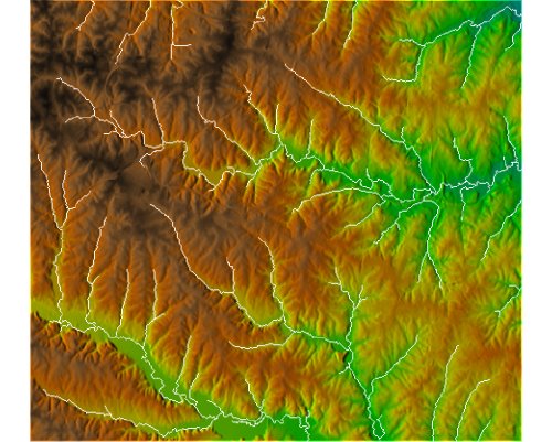
Elevation with streams.jpg 500 × 401; 56 KB
-
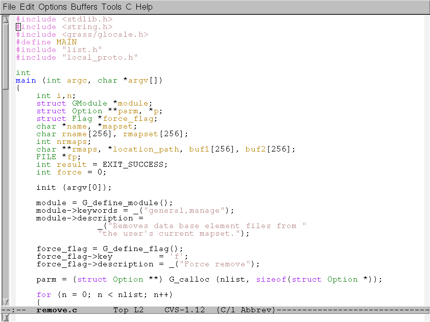
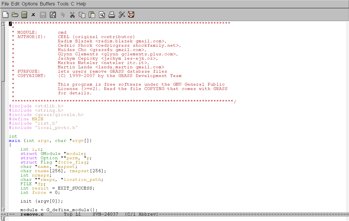
Emacs gdb-1.png 842 × 631; 19 KB
-
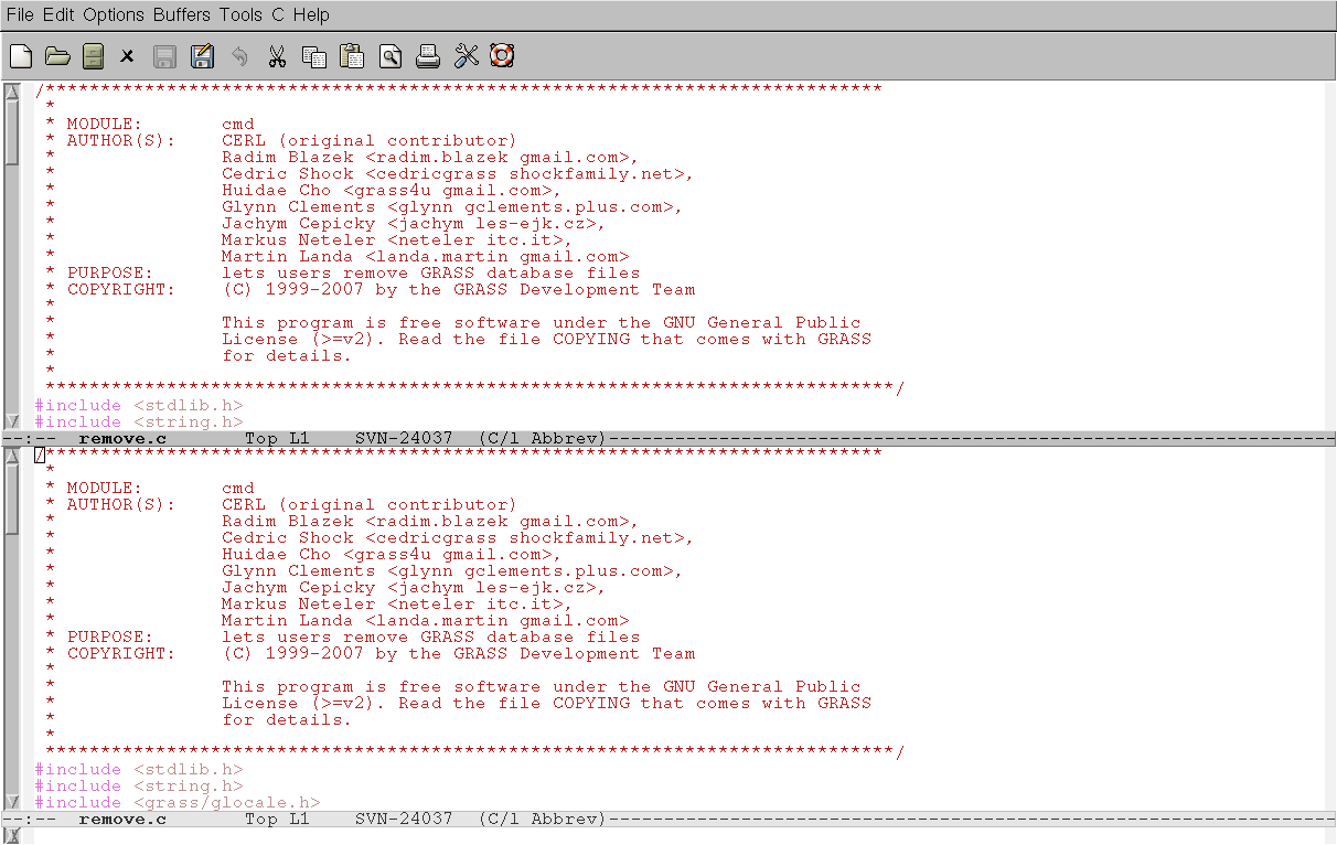
Emacs gdb-1a.png 1,212 × 766; 35 KB
-
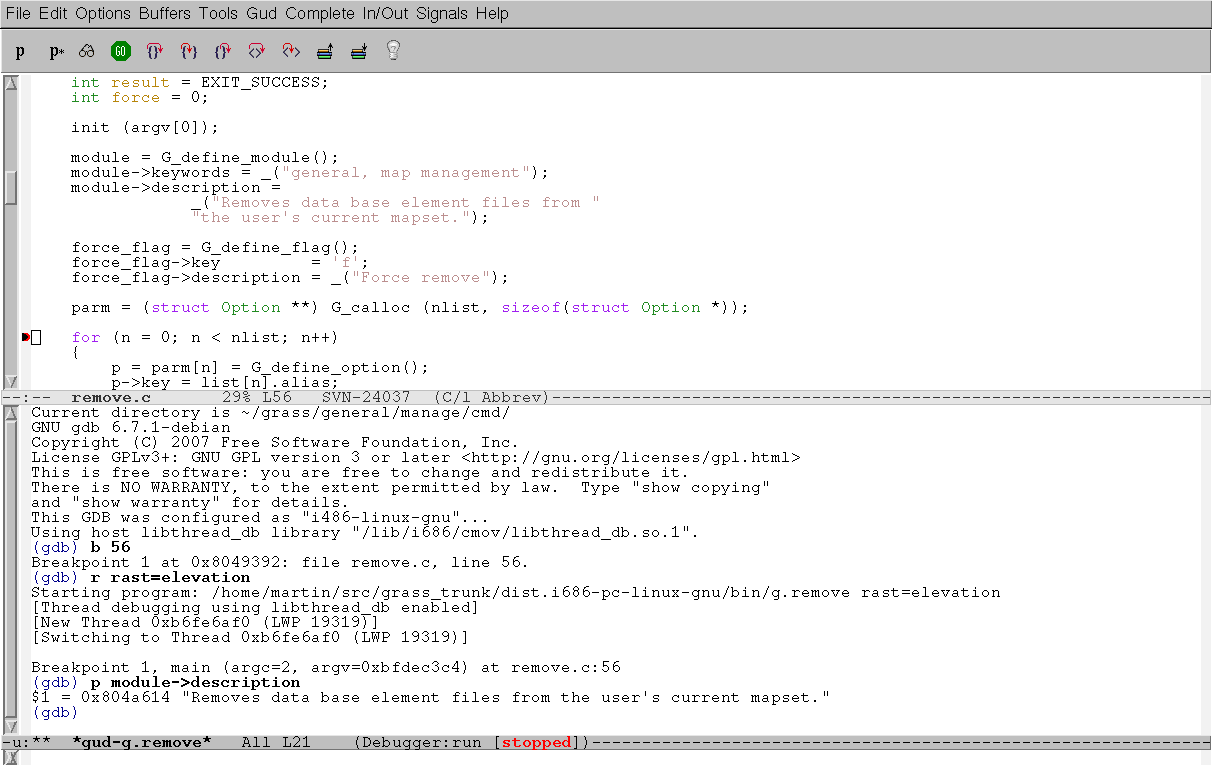
Emacs gdb-2.png 1,212 × 766; 39 KB
-
Emacs gdb-3.png 1,212 × 766; 34 KB
-
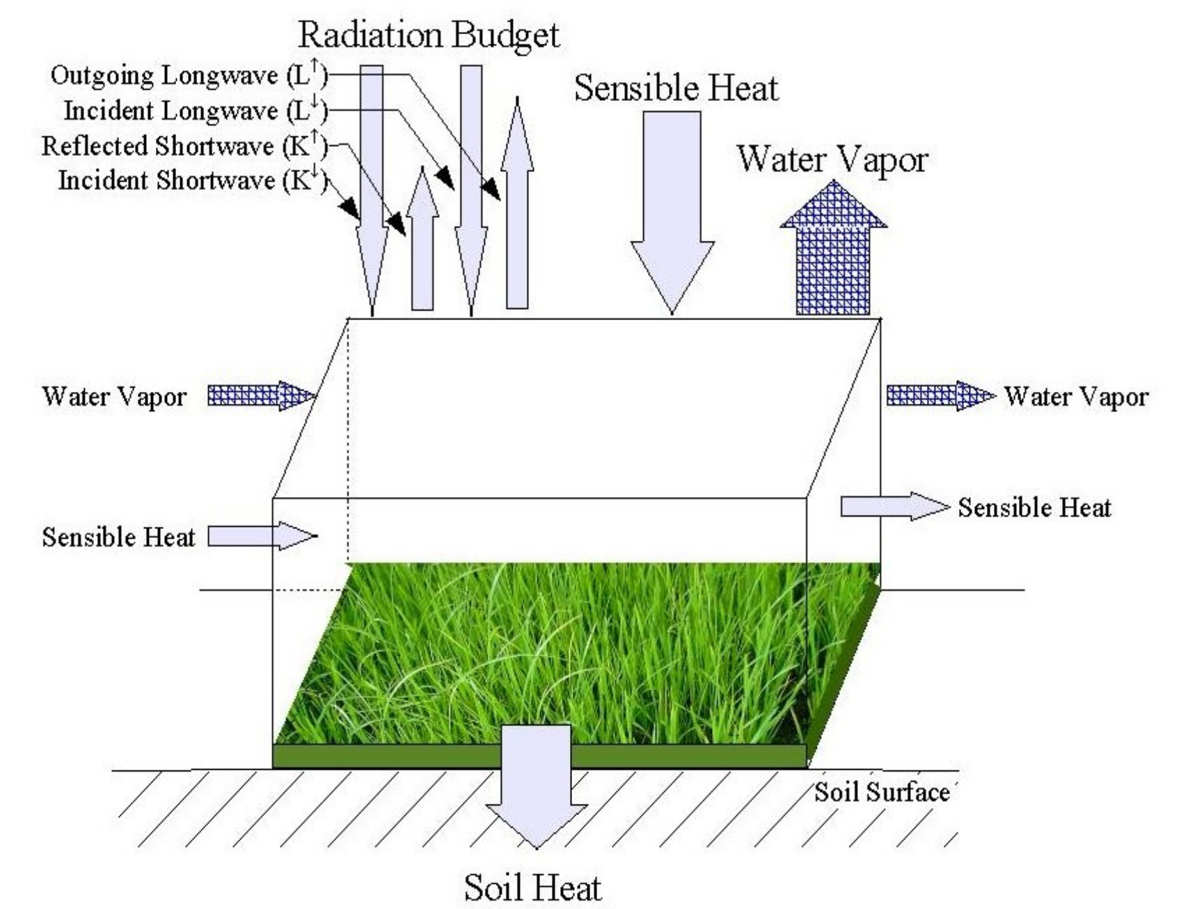
EnergyBalance.png 1,707 × 1,306; 1.09 MB
-
Eo1 satellite.jpg 325 × 237; 15 KB
-
Esfera grass blue.png 1,600 × 1,608; 1.2 MB
-
Esfera grass blue glow.png 1,600 × 1,608; 1.99 MB
-
Esfera grass blue glow shadowless.png 1,600 × 1,608; 1.96 MB
-
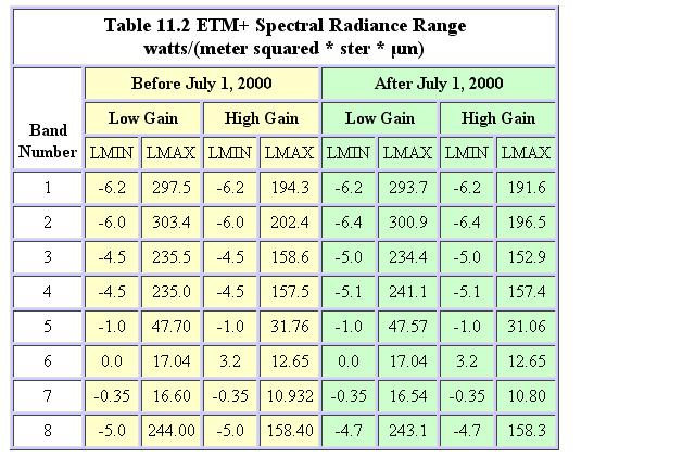
Etm minmaxradiance.JPG 640 × 433; 69 KB
-
Eu emblem.gif 200 × 134; 2 KB
-
Evaporation manual v0.6.7.pdf ; 6.87 MB
-
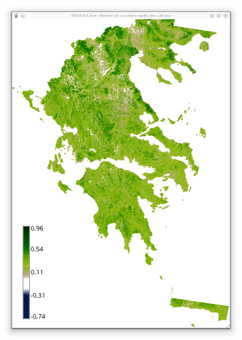
Evi2 based on histomatched summer landsat utm z34n.png 805 × 1,130; 693 KB
-
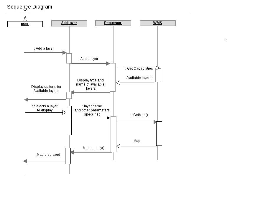
Example.jpg 943 × 694; 39 KB
-
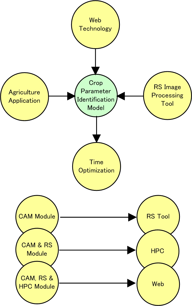
Example1.jpg 665 × 1,060; 182 KB
-
Example r.in.lidar command in Bash.png 1,011 × 177; 23 KB
-
Example r.in.lidar command in Python.png 1,204 × 413; 47 KB
-
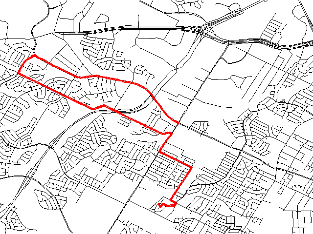
Example track.png 640 × 480; 23 KB
-
FOSS4G-Europe-2017.png 600 × 600; 386 KB
