File list
Jump to navigation
Jump to search
This special page shows all uploaded files.


| Date | Name | Thumbnail | Size | User | Description | Versions |
|---|---|---|---|---|---|---|
| 20:29, 20 March 2016 | Terrain17.png (file) |  |
16 KB | ⚠️Dnewcomb | 1 | |
| 20:22, 20 March 2016 | Terrain16.png (file) |  |
62 KB | ⚠️Dnewcomb | 1 | |
| 20:22, 20 March 2016 | Terrain15.png (file) |  |
27 KB | ⚠️Dnewcomb | 1 | |
| 20:11, 20 March 2016 | Terrain14.png (file) |  |
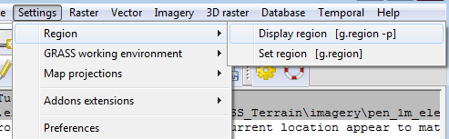
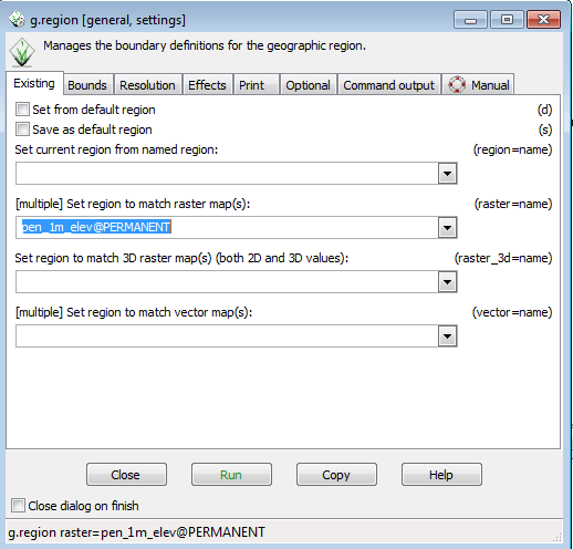
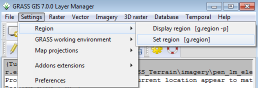
22 KB | ⚠️Dnewcomb | Set region | 1 |
| 20:04, 20 March 2016 | Terrain13.png (file) |  |
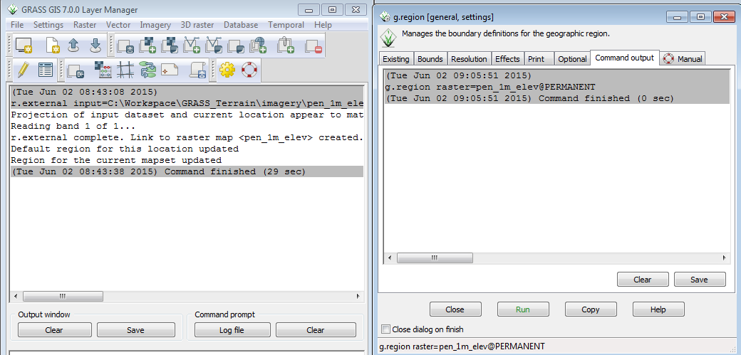
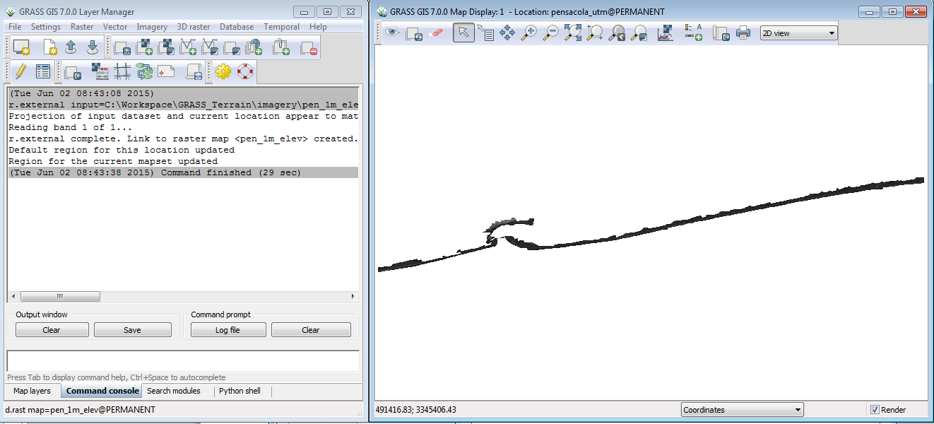
80 KB | ⚠️Dnewcomb | Result of r.external | 1 |
| 19:51, 20 March 2016 | Terrain12.png (file) |  |
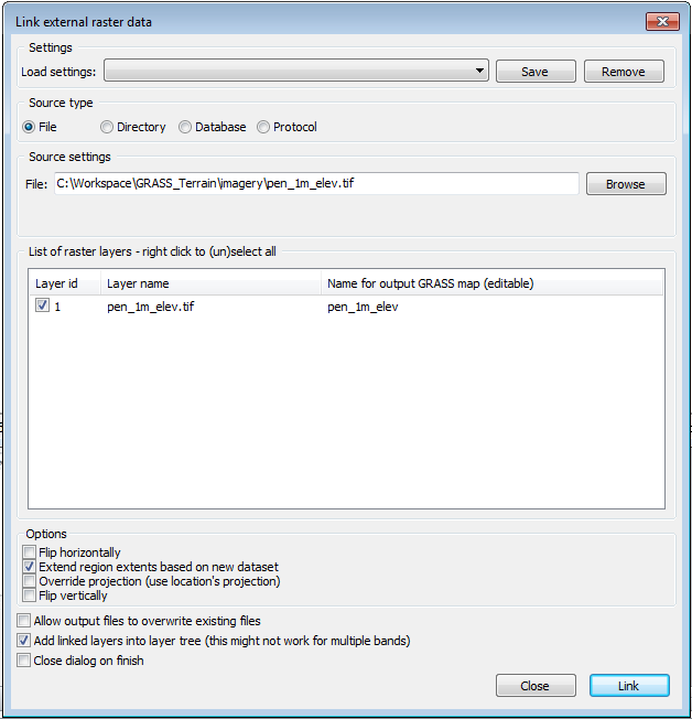
31 KB | ⚠️Dnewcomb | r.external | 1 |
| 19:47, 20 March 2016 | Terrain11.png (file) |  |
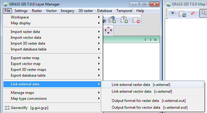
35 KB | ⚠️Dnewcomb | Adding data layer | 1 |
| 19:36, 20 March 2016 | Terrain10.png (file) |  |
78 KB | ⚠️Dnewcomb | 1 | |
| 19:36, 20 March 2016 | Terrain9.png (file) |  |
58 KB | ⚠️Dnewcomb | 1 | |
| 19:23, 20 March 2016 | Terrain8.png (file) |  |
7 KB | ⚠️Dnewcomb | 1 | |
| 19:22, 20 March 2016 | Terrain7.png (file) |  |
10 KB | ⚠️Dnewcomb | 1 | |
| 19:22, 20 March 2016 | Terrain6.png (file) |  |
11 KB | ⚠️Dnewcomb | 1 | |
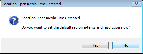
| 19:07, 20 March 2016 | Terrain5.png (file) |  |
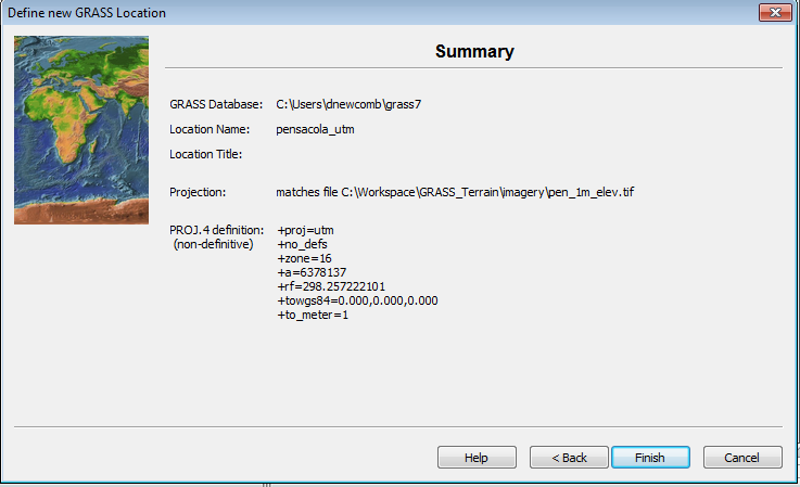
76 KB | ⚠️Dnewcomb | Location creation dialog finish | 1 |
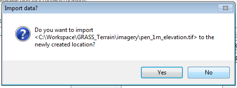
| 19:00, 20 March 2016 | Terrain4.png (file) |  |
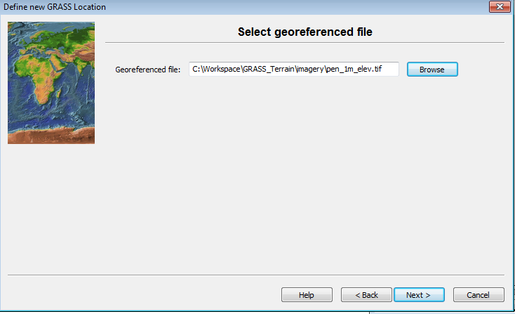
70 KB | ⚠️Dnewcomb | Georeferenced file selection dialog | 1 |
| 12:27, 20 March 2016 | Terrain3.png (file) |  |
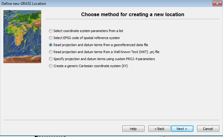
79 KB | ⚠️Dnewcomb | Location creation projection section | 1 |
| 20:54, 19 March 2016 | Terrain2.png (file) |  |
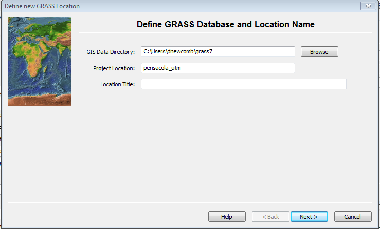
74 KB | ⚠️Dnewcomb | Grass Location Menu step 1 | 1 |
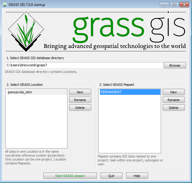
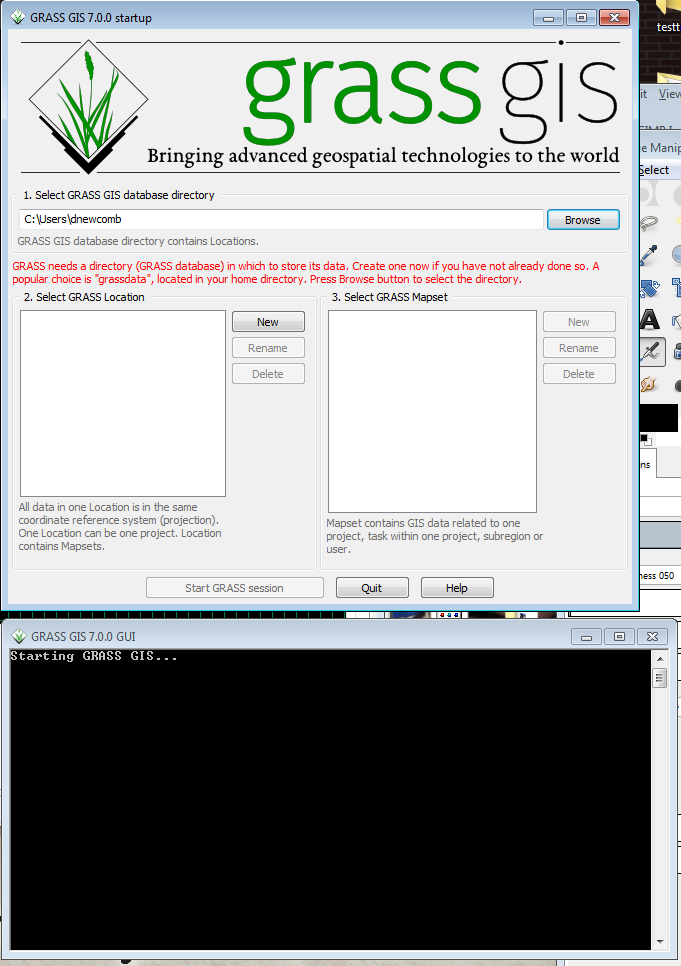
| 20:46, 19 March 2016 | Terrain1.png (file) |  |
93 KB | ⚠️Dnewcomb | Screenshot of initial grass menu | 1 |
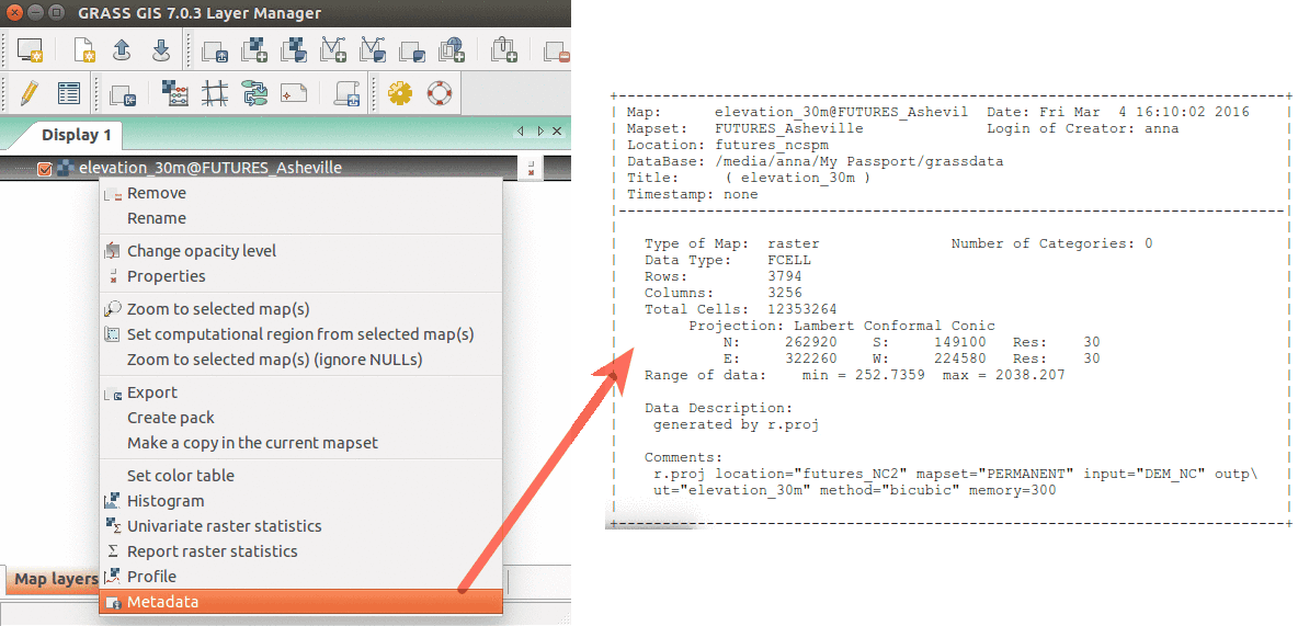
| 03:41, 17 March 2016 | WxGUI metadata rinfo.png (file) |  |
65 KB | Annakrat | Show raster map metadata by right click on layer | 1 |
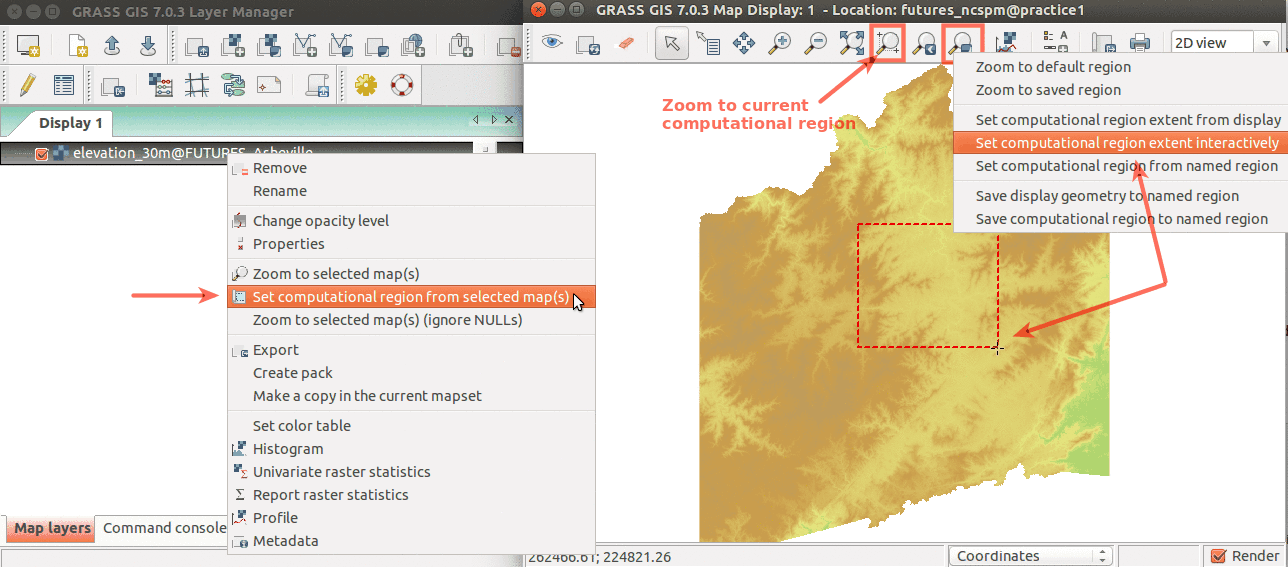
| 03:27, 17 March 2016 | WxGUI set region.png (file) |  |
118 KB | Annakrat | Simple ways to set computational region from GUI. On the left, set region based to match raster map. On the right, select the highlighted option and then set region by drawing rectangle. | 1 |
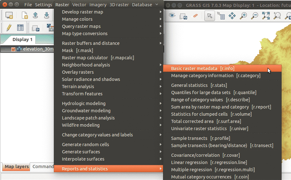
| 02:50, 17 March 2016 | WxGUI menu rinfo.png (file) |  |
101 KB | Annakrat | r.info module accessible from wxGUI menu | 2 |
| 02:39, 17 March 2016 | WxGUI console completion.png (file) |  |
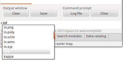
10 KB | Annakrat | Running GRASS modules from wxGUI command console. Module name is autocompleted. | 1 |
| 02:37, 17 March 2016 | WxGUI module search.png (file) |  |
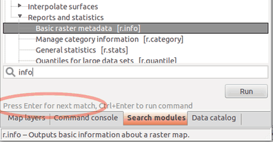
15 KB | Annakrat | Fulltext module search in wxGUI (searching in module name, description, keywords) | 1 |
| 15:00, 16 March 2016 | GRASS FUTURES wxGUI display.png (file) |  |
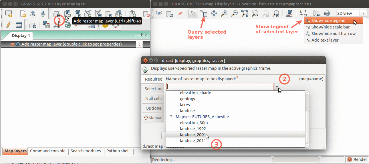
138 KB | Annakrat | Layer Manager and Map Display overview. Annotations show how to add raster layer, query, add legend. | 1 |
| 10:18, 12 March 2016 | Location wizard select Planetary Ellipsoid Page3.png (file) |  |
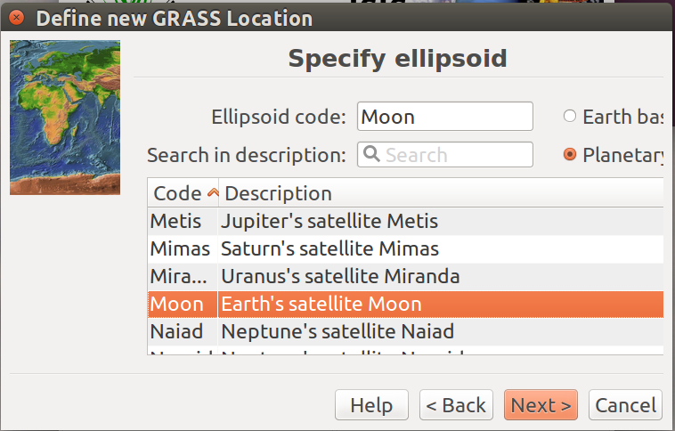
112 KB | ⚠️Ychemin | Select Planetary bodies | 1 |
| 10:16, 12 March 2016 | Location wizard select Planetary Ellipsoid Page2.png (file) |  |
120 KB | ⚠️Ychemin | Ellipsoid only is needed for Planetary definition | 1 |
| 10:09, 12 March 2016 | Location wizard select Planetary Ellipsoid Page1.png (file) |  |
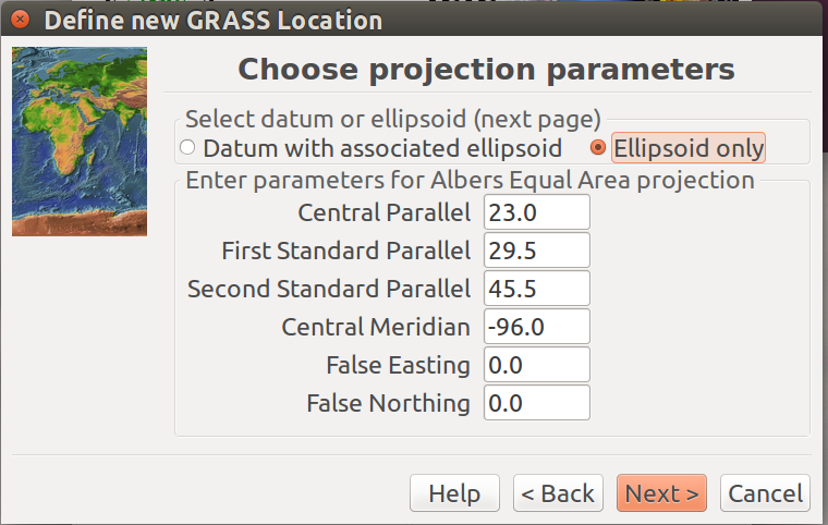
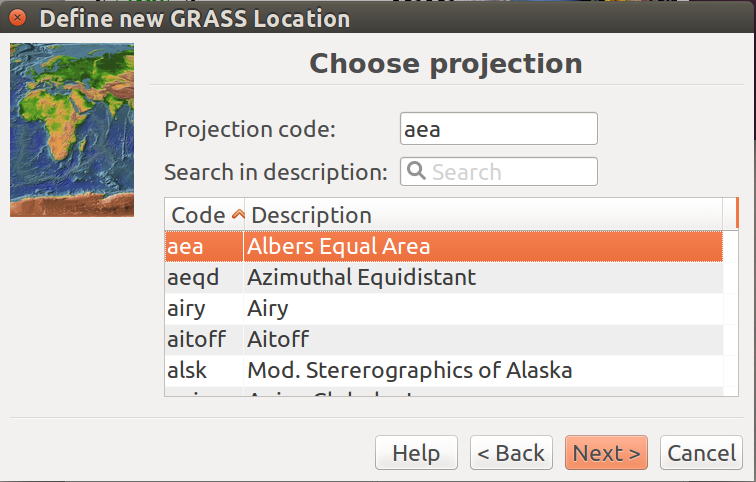
105 KB | ⚠️Ychemin | Define projection system first. | 1 |
| 10:05, 12 March 2016 | Location wizard select Planetary Ellipsoid Page.png (file) |  |
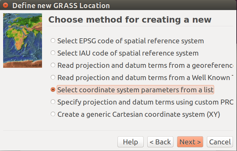
118 KB | ⚠️Ychemin | To find planetary ellipsoid, this is the first page selection to follow | 1 |
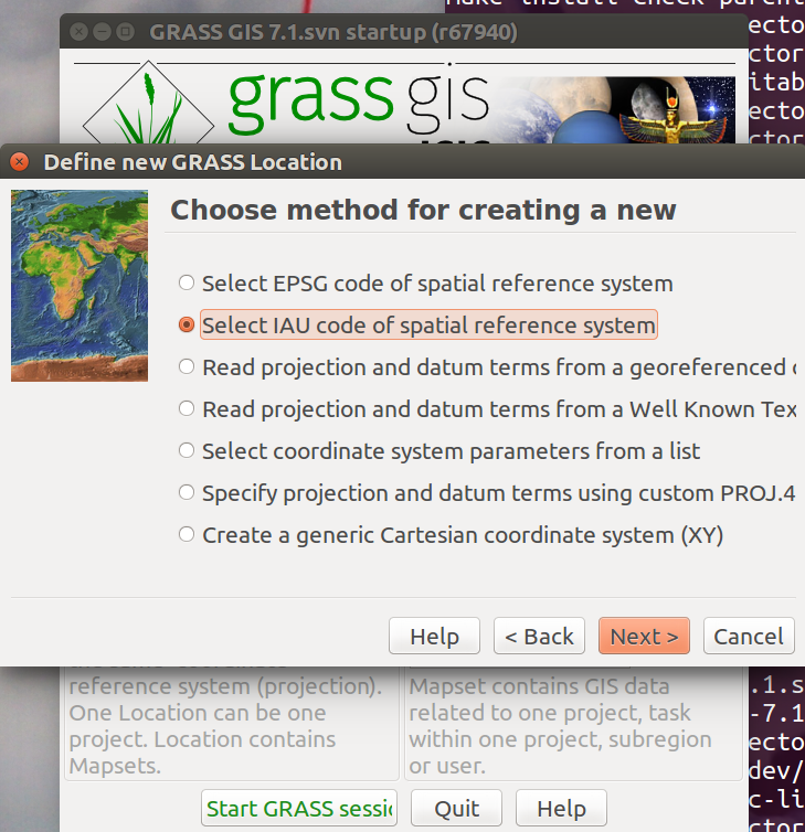
| 10:00, 12 March 2016 | Location wizard select IAU Projection.png (file) |  |
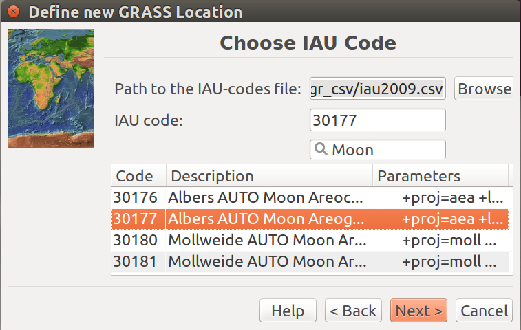
123 KB | ⚠️Ychemin | IAU codes selection page for planetary reference systems | 1 |
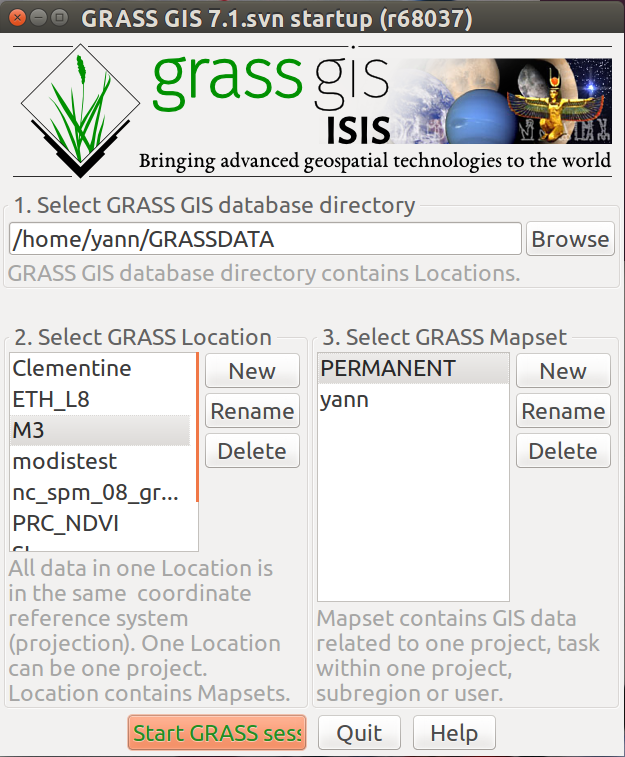
| 09:49, 12 March 2016 | Isisgrasswelcome.png (file) |  |
165 KB | ⚠️Ychemin | When Isis (astrogeology.usgs.gov) is installed, GRASS will recognize it and open the ISIS-GRASS mode (shown in the banner) | 1 |
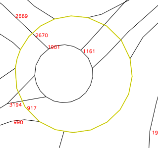
| 20:56, 6 March 2016 | 03 roundabout after.png (file) |  |
26 KB | ⚠️Turek | 1 | |
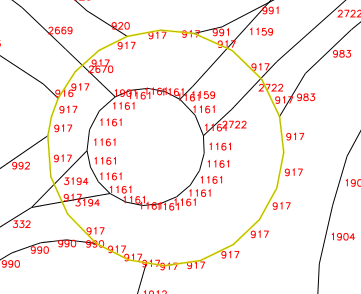
| 20:56, 6 March 2016 | 02 roundabout split.png (file) |  |
41 KB | ⚠️Turek | 1 | |
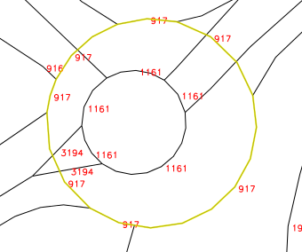
| 20:55, 6 March 2016 | 01 roundabout before.png (file) |  |
24 KB | ⚠️Turek | 1 | |
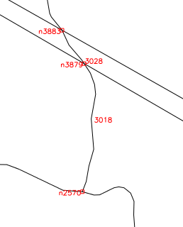
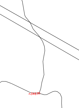
| 20:53, 6 March 2016 | Vclean.png (file) |  |
12 KB | ⚠️Turek | 1 | |
| 20:52, 6 March 2016 | Vclean difference.png (file) |  |
10 KB | ⚠️Turek | 1 | |
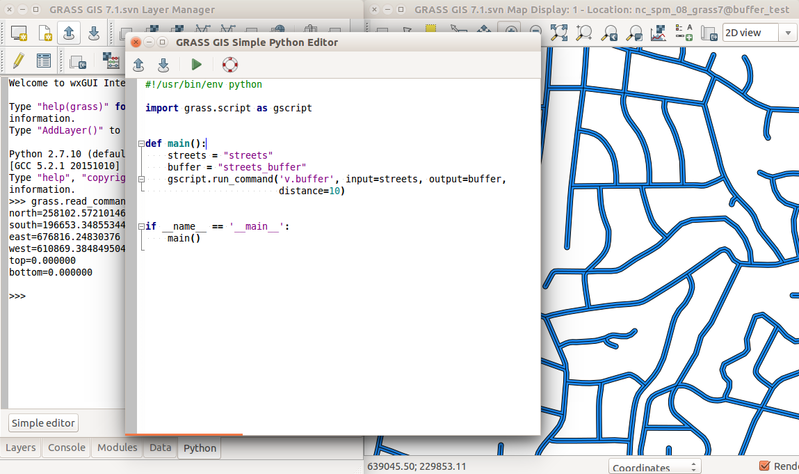
| 16:59, 29 February 2016 | Simple python editor v buffer.png (file) |  |
235 KB | ⚠️Wenzeslaus | Prototype of GRASS GIS Simple Python Editor with Python tab with interactive Python shell and computed buffer for streets vector (v.buffer) in the background. | 1 |
| 16:54, 29 February 2016 | Tangible landscape termite game.jpg (file) |  |
117 KB | ⚠️Wenzeslaus | https://geospatial.ncsu.edu/osgeorel/tangible-landscape.html | 1 |
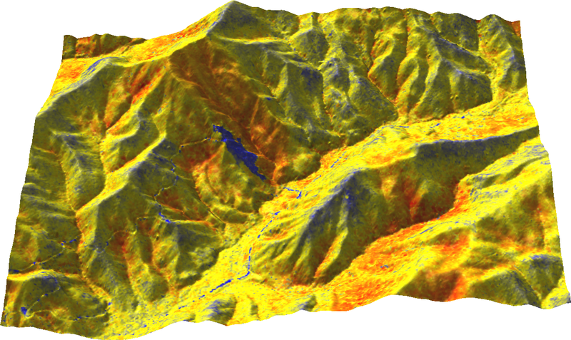
| 16:49, 29 February 2016 | Range on ground from north.png (file) |  |
578 KB | ⚠️Wenzeslaus | Range of z coordinates displayed on ground Author: Vaclav Petras http://wenzeslaus.github.io/grass-lidar-talks/ Dataset: Nantahala NF, NC: Forest Leaf Structure, Terrain and Hydrophysiology http://dx.doi.org/10.5069/G9HT2M76 | 1 |
| 16:43, 29 February 2016 | Jeziorska uav grass puddle mar 18.png (file) |  |
207 KB | ⚠️Wenzeslaus | Comparison of simulated surface water flow and puddle in orthophoto Justyna Jeziorska, Helena Mitasova, Anna Petrasova, Vaclav Petras, Darshan Divakaran, Thomas Zajkowski (2016): Overland flow analysis using time series of sUAS-derived elevation model... | 1 |
| 15:59, 26 February 2016 | Location Wizard geodatum1.png (file) |  |
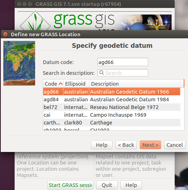
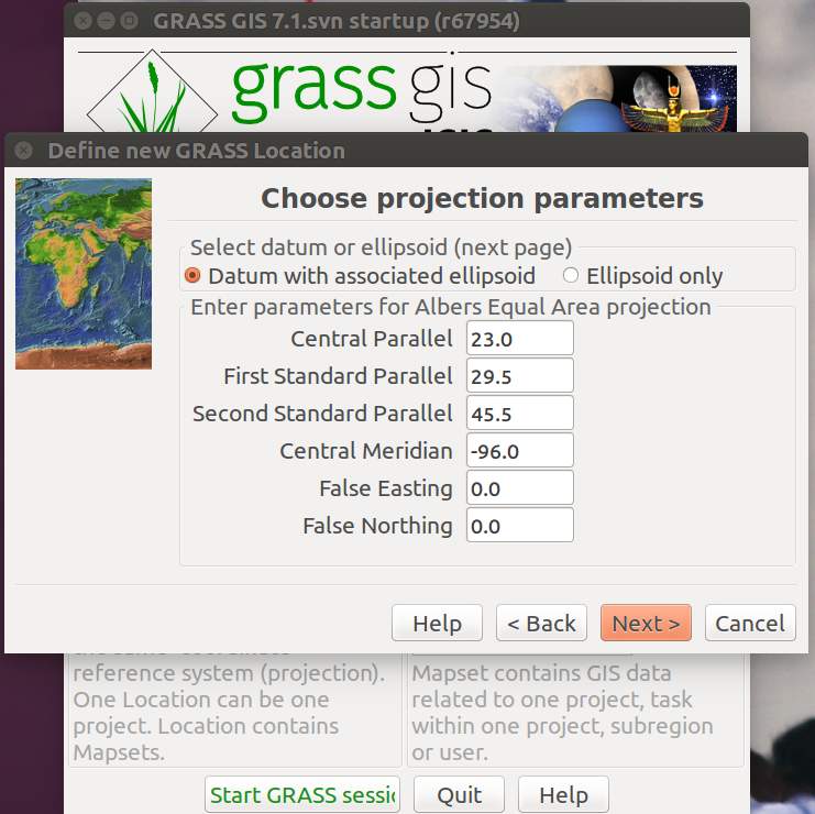
217 KB | ⚠️Ychemin | 1 | |
| 15:56, 26 February 2016 | Location Wizard Geodatum.png (file) |  |
221 KB | ⚠️Ychemin | 1 | |
| 15:55, 26 February 2016 | Location wizard select Projection.png (file) |  |
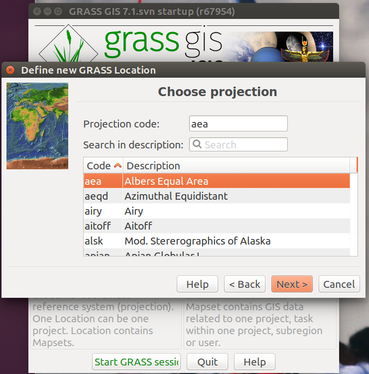
221 KB | ⚠️Ychemin | 1 | |
| 15:49, 26 February 2016 | Location wizard with IAU codes.png (file) |  |
234 KB | ⚠️Ychemin | 1 | |
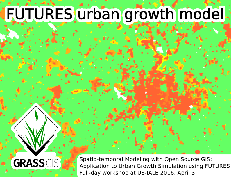
| 20:03, 24 February 2016 | Futures grass gis asheville.png (file) |  |
260 KB | ⚠️Wenzeslaus | Picture for Spatio-temporal Modeling with Open Source GIS: Application to Urban Growth Simulation using FUTURES workshop at US-IALE 2016 Annual Meeting in Asheville, NC, USA. | 1 |
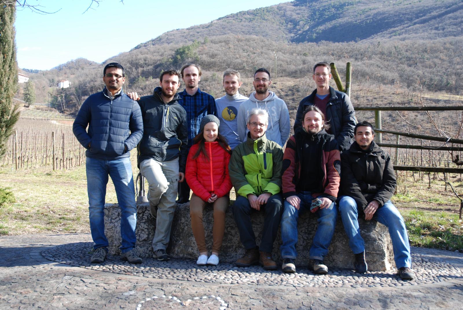
| 17:17, 23 February 2016 | GRASS GIS contributors meetings in San Michele February 2016.jpg (file) |  |
343 KB | Neteler | 1 | |
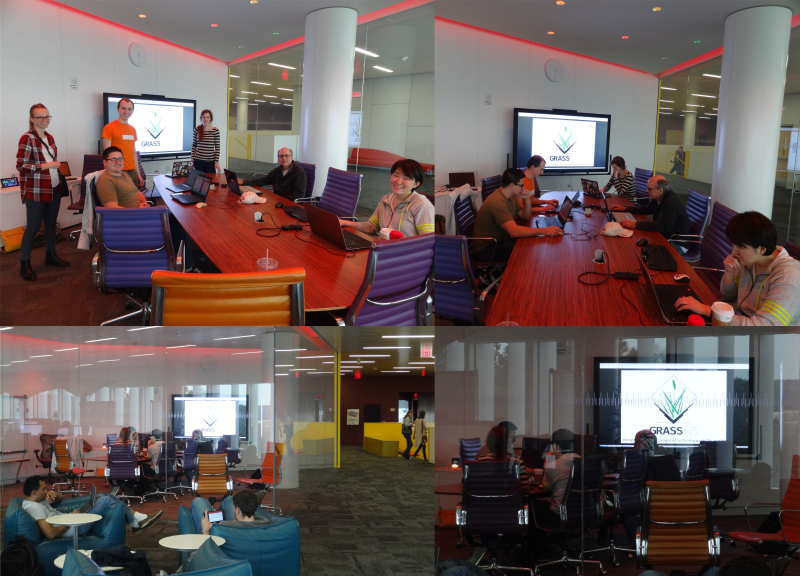
| 00:00, 21 February 2016 | Grass gis raleigh meetup feb20 2016.png (file) |  |
721 KB | ⚠️Wenzeslaus | Four photos from GRASS GIS Raleigh meetup, February 20, 2016. The Fishbowl room inside and from outside with the participants, visitors and people around in the Hunt library. | 1 |
| 11:06, 15 February 2016 | Solany 0059.jpg (file) |  |
965 KB | ⚠️Landa | 1 | |
| 11:06, 15 February 2016 | Solany 0026.jpg (file) |  |
805 KB | ⚠️Landa | 1 | |
| 11:05, 15 February 2016 | Solany 0015.jpg (file) |  |
1.3 MB | ⚠️Landa | 1 | |
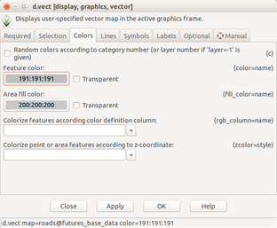
| 18:07, 12 February 2016 | Futures anim vector set color.png (file) |  |
47 KB | ⚠️Wenzeslaus | Set vector layer color using d.vect dialog | 1 |
| 18:06, 12 February 2016 | Futures anim start raster color.png (file) |  |
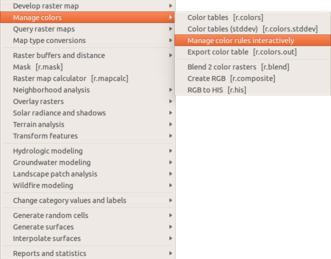
43 KB | ⚠️Wenzeslaus | Manage color table interactively in the Raster menu | 1 |