Unused files
Jump to navigation
Jump to search
The following files exist but are not embedded in any page. Please note that other websites may link to a file with a direct URL, and so may still be listed here despite being in active use.
Showing below up to 50 results in range #51 to #100.
-
Transifex register signin.png 455 × 181; 12 KB
-
Rashadkm.png 486 × 504; 228 KB
-
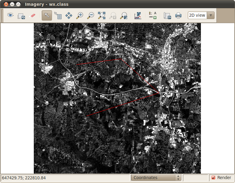
Wx.class1.png 772 × 602; 313 KB
-
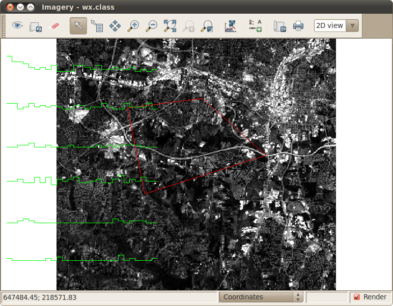
Wx.class2.png 772 × 602; 314 KB
-
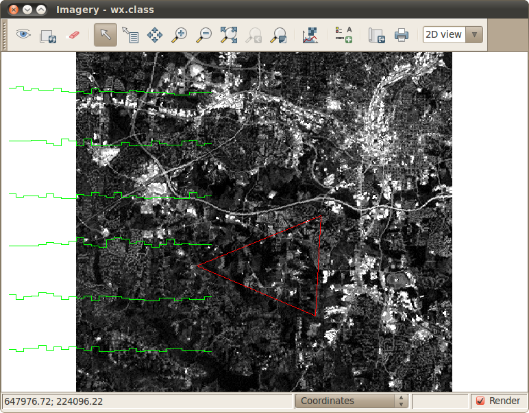
Wx.class3.png 772 × 602; 314 KB
-
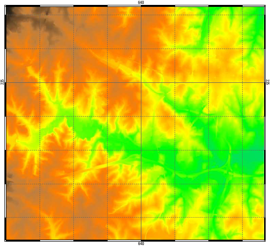
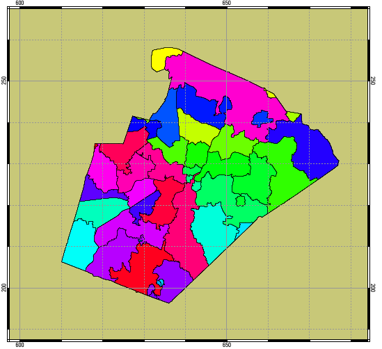
Ps out raster.png 554 × 504; 313 KB
-
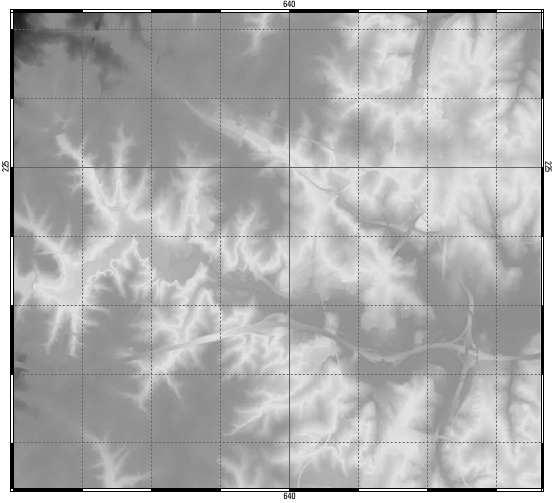
Ps out raster gray.png 554 × 503; 153 KB
-
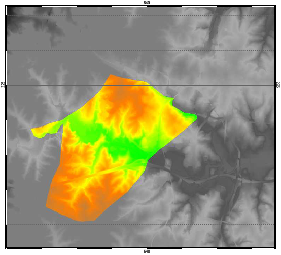
Ps out raster mask.png 554 × 504; 188 KB
-
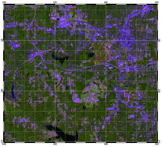
Ps out raster lsat.png 560 × 510; 501 KB
-
Ps out raster mask0.png 549 × 502; 51 KB
-
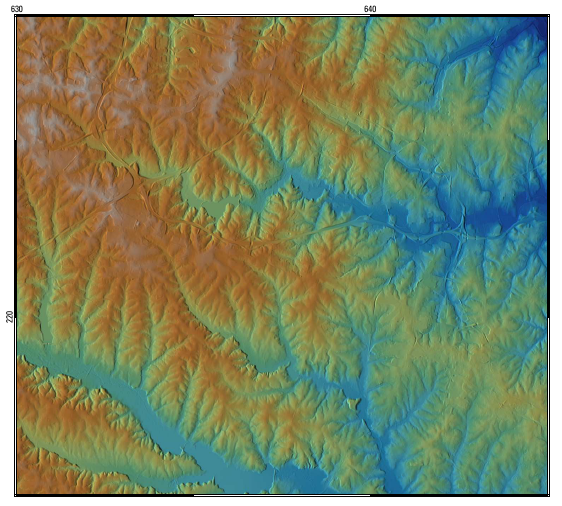
Ps out raster3d.png 562 × 506; 428 KB
-
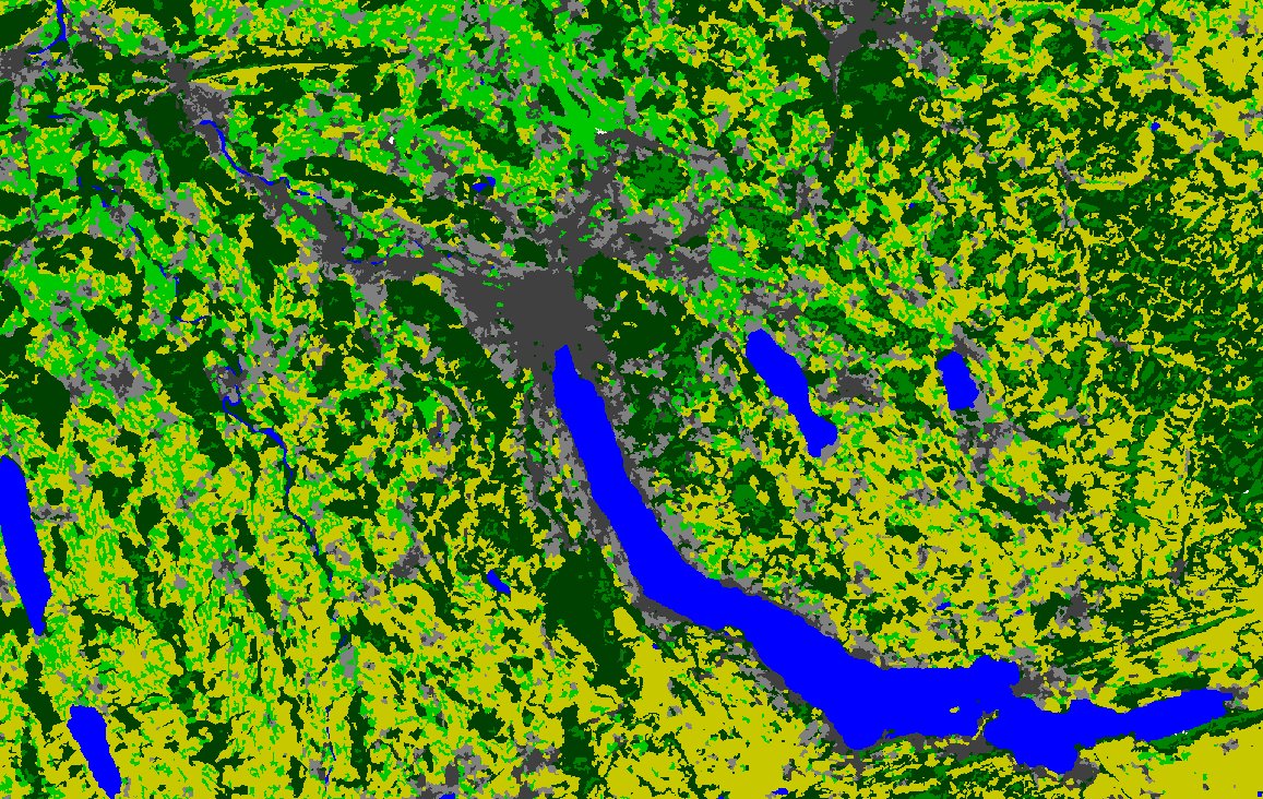
Zurich.jpg 1,157 × 732; 461 KB
-
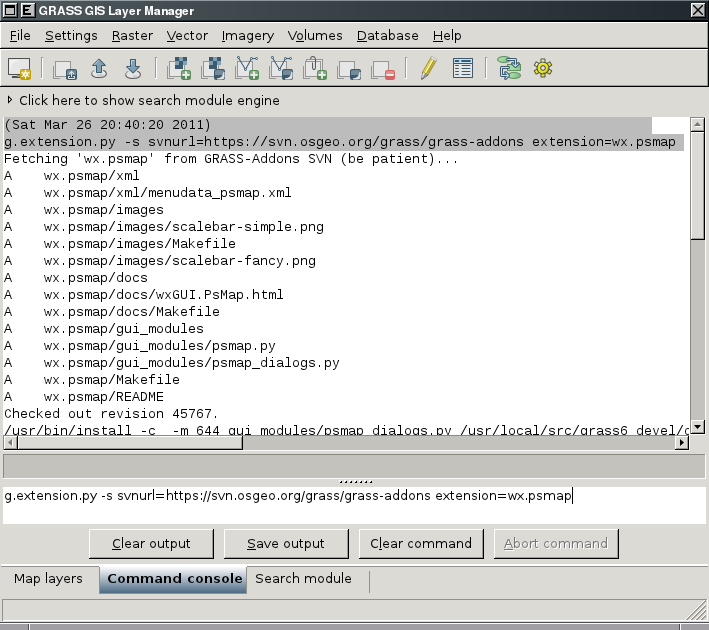
WxGUI-install-addons-cmd.png 709 × 630; 63 KB
-
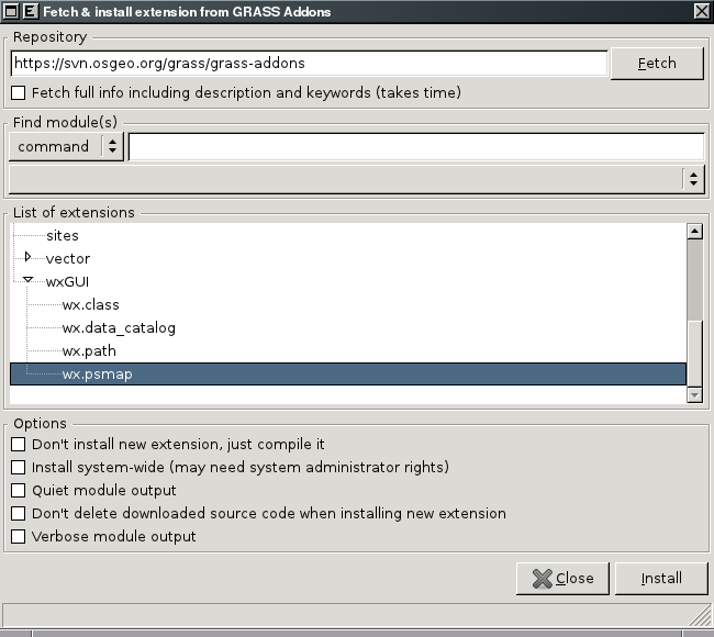
Wxgui-install-extension.png 650 × 580; 33 KB
-
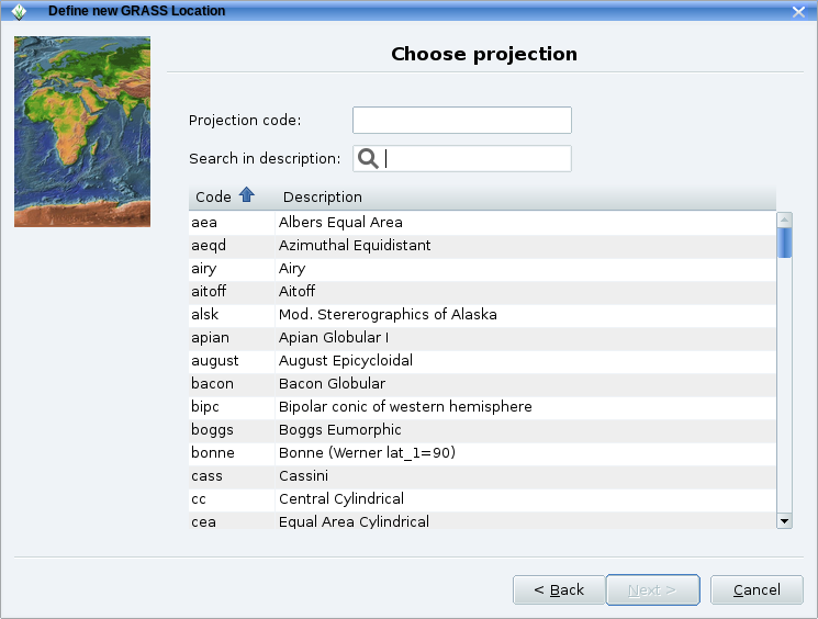
Grass64 location wiz2.png 745 × 564; 84 KB
-
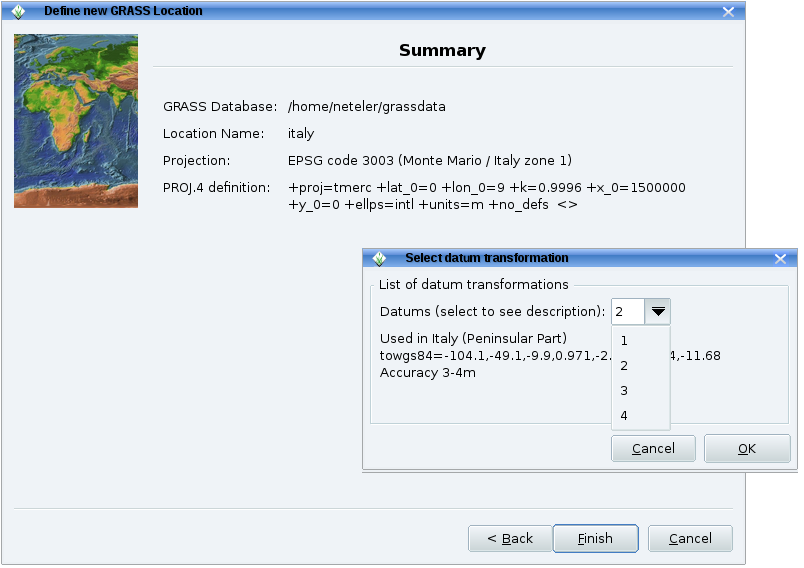
Grass64 location wiz3.png 804 × 568; 86 KB
-
Grass-logo-url.png 709 × 709; 71 KB
-
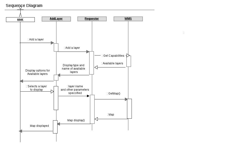
Sequence.jpg 943 × 694; 39 KB
-
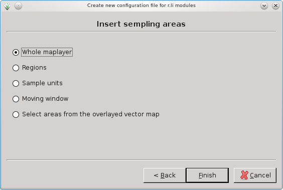
Rlisetup wizard sampling areas.png 564 × 379; 24 KB
-
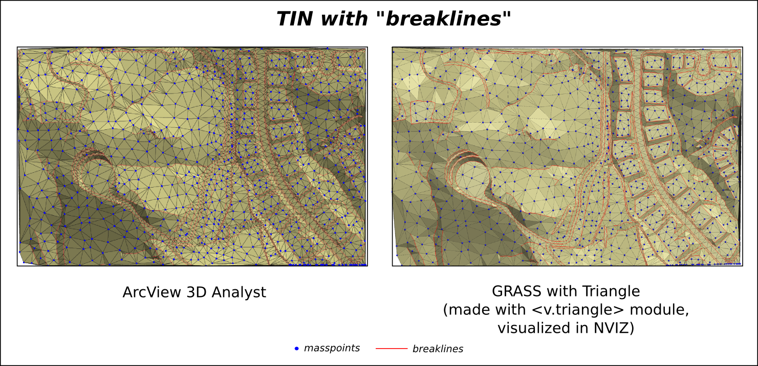
ArcView GRASS TIN breaklines l.png 1,481 × 716; 978 KB
-
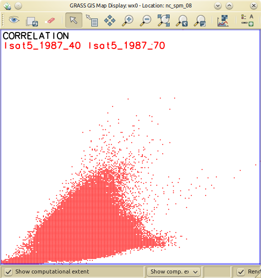
Nc spm 09 d.correlation of lsat5 1987 40 and lsat5 1987 70.png 523 × 556; 108 KB
-
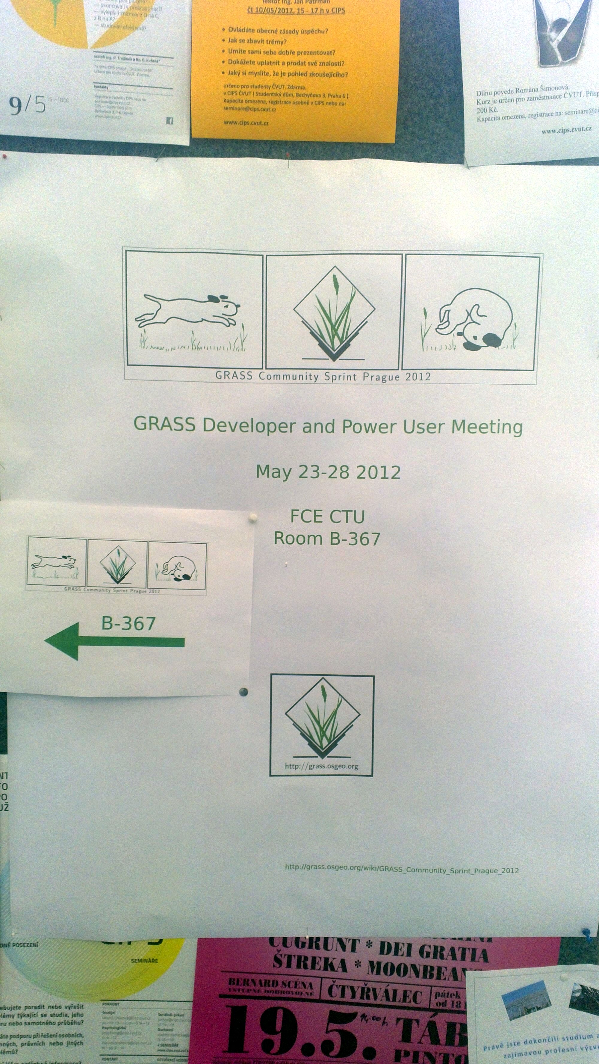
Grass community sprint 2012 1.jpg 2,000 × 3,552; 1.26 MB
-
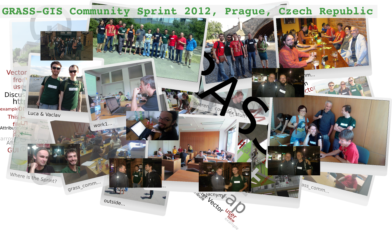
Grass-gis community sprint 2012 collage final.png 1,361 × 800; 1.5 MB
-
Maciek.png 102 × 132; 19 KB
-
R split line.gif 640 × 480; 971 KB
-
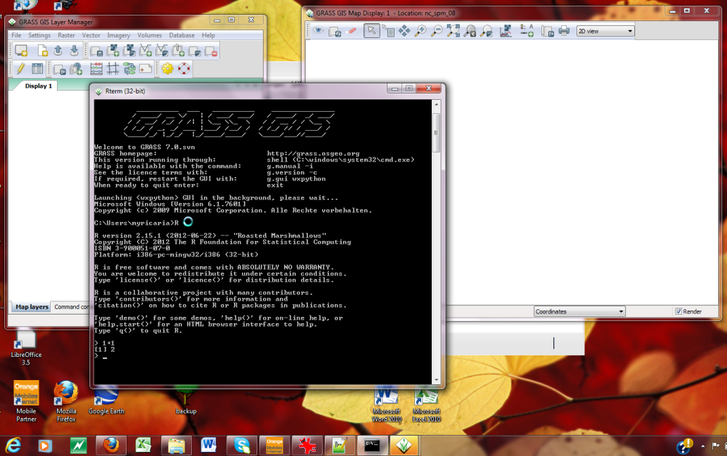
Wingrass7 R integration.png 1,034 × 649; 371 KB
-
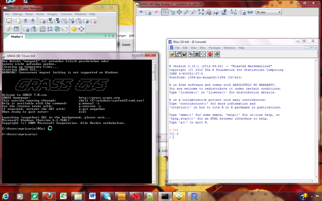
Wingrass7 RGui integration.png 1,032 × 644; 252 KB
-
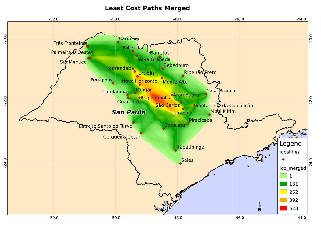
Lcp merged.jpg 1,052 × 744; 83 KB
-
Grasswiki history logo A.png 193 × 216; 31 KB
-
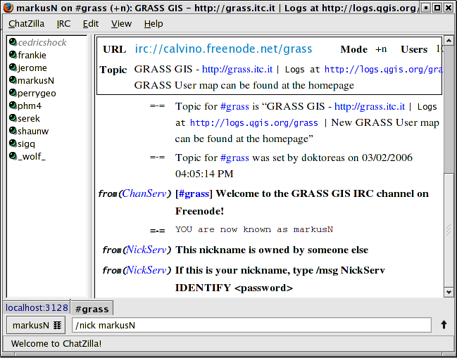
Irc chatzilla.png 649 × 509; 62 KB
-
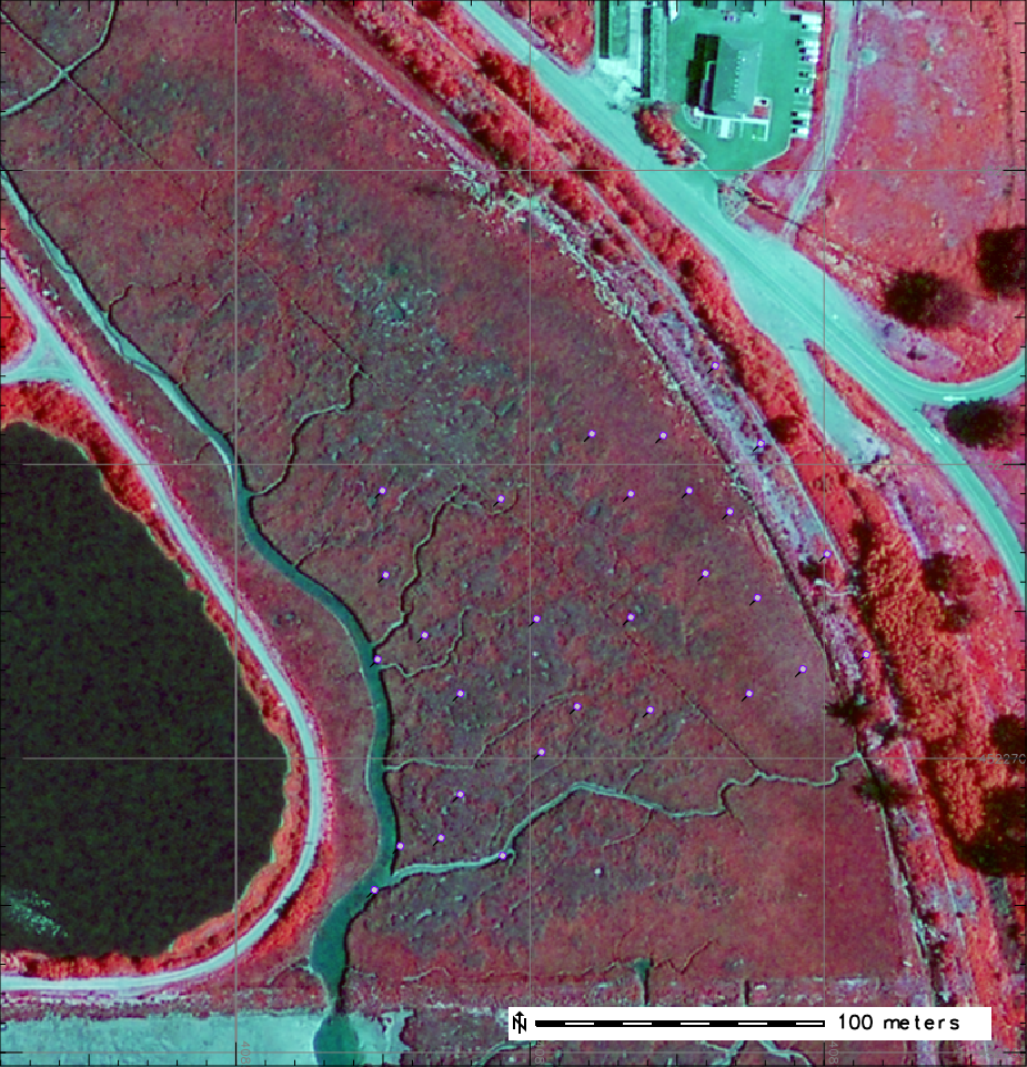
Sg fcir.png 925 × 961; 1.04 MB
-
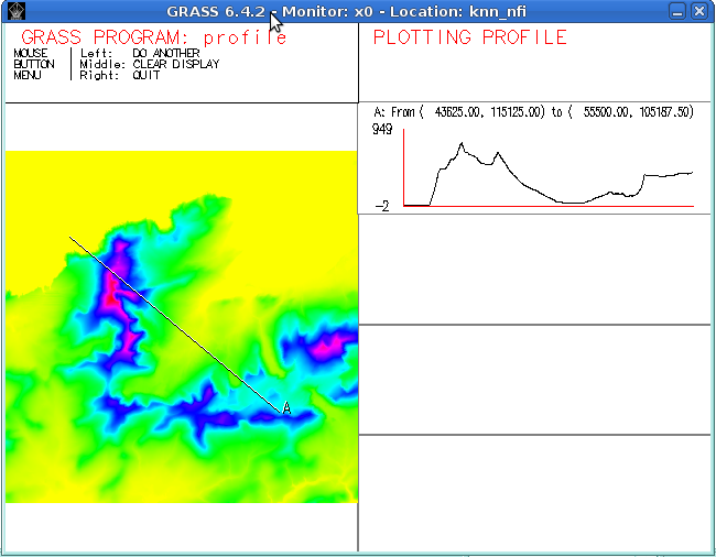
Dprofile-elevation.png 650 × 506; 80 KB
-
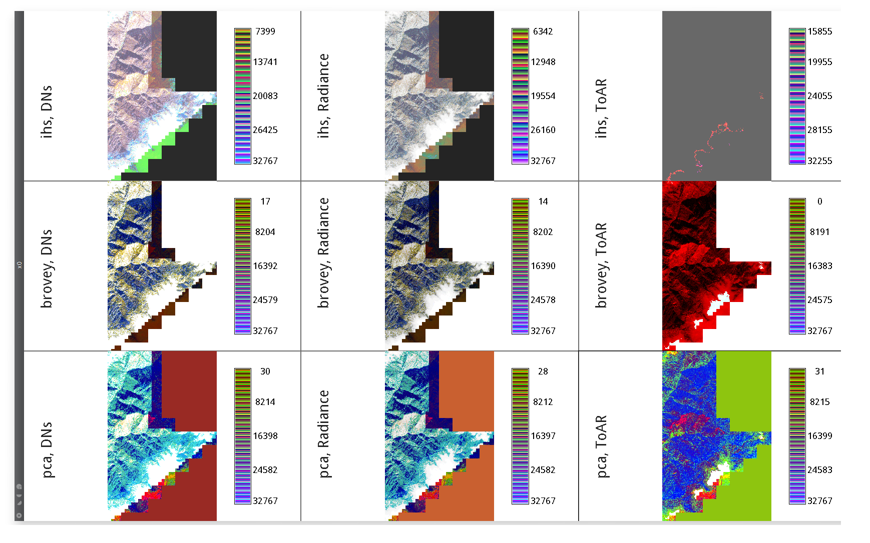
IKONOS PanSharpening Three Inputs Greyscaled Three Methods.png 1,738 × 1,086; 888 KB
-
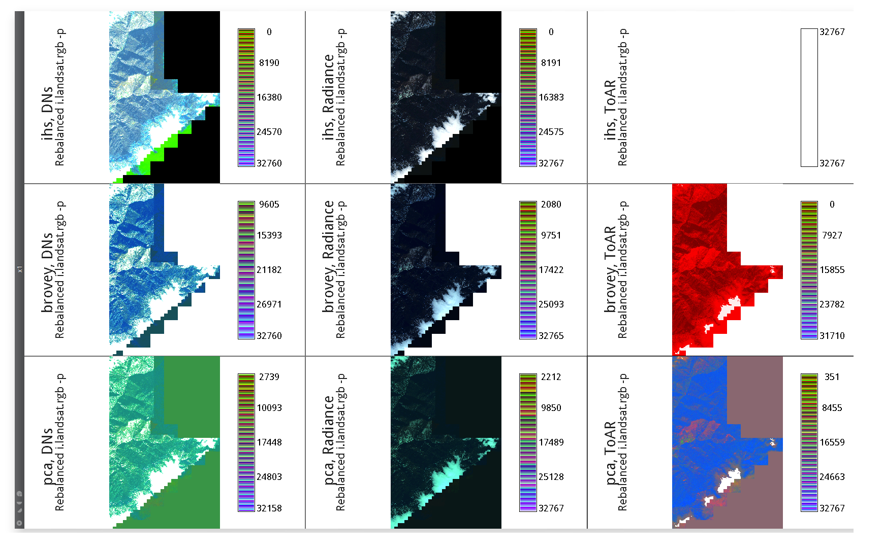
IKONOS PanSharpening Three Inputs Rebalanced Three Methods.png 1,738 × 1,086; 712 KB
-
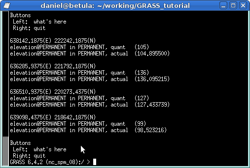
Dwhatrast.png 507 × 342; 15 KB
-
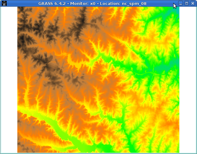
Dmon elevation.png 648 × 506; 307 KB
-
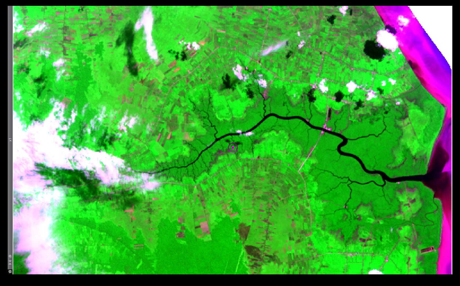
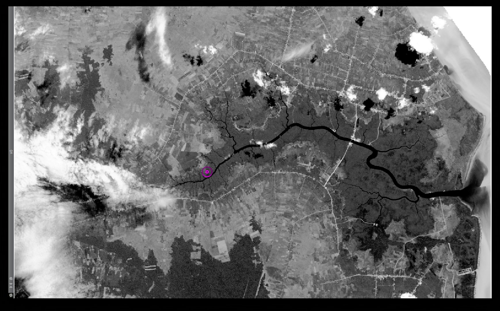
Bengkalis Island Landsat8 RGB Red NIR Blue.jpg 1,738 × 1,082; 378 KB
-
Bengkalis Island Landsat8 Panchromatic.jpg 1,738 × 1,082; 401 KB
-
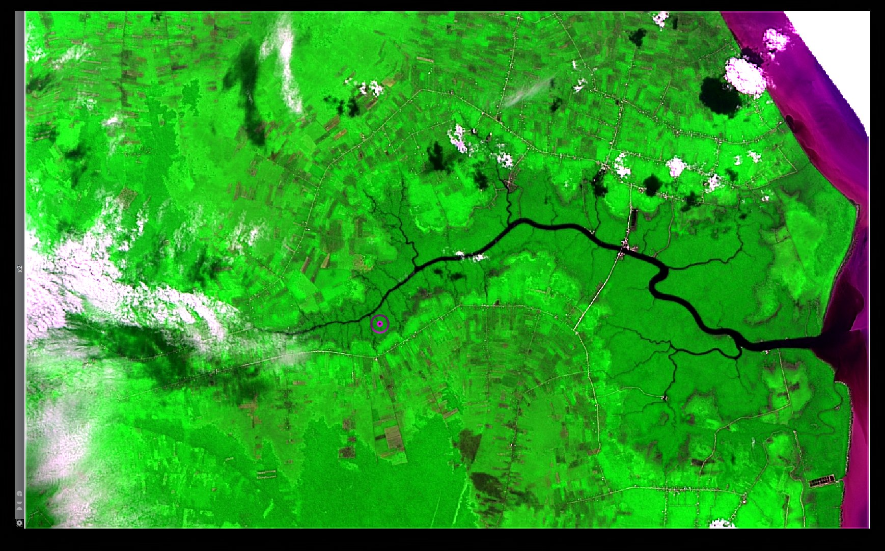
Bengkalis Island Landsat8 HPFA Sharpened RGB Red NIR Blue Default Parameters.jpg 1,738 × 1,082; 452 KB
-
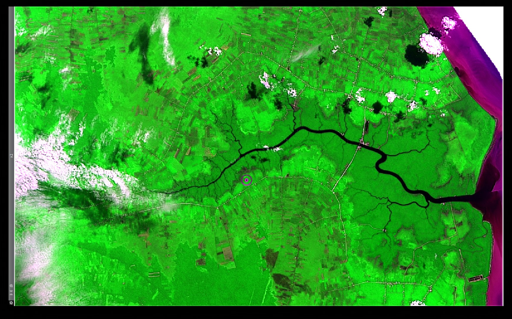
Bengkalis Island Landsat8 HPFA Sharpened RGB Red NIR Blue Max Crispness.jpg 1,738 × 1,082; 480 KB
-
Wxmetadata-toolbar.png 922 × 41; 13 KB
-
GRASSGIS splash1.jpg 2,000 × 738; 114 KB
-
GRASSGIS splash2.jpg 2,000 × 1,260; 527 KB
-
GRASSGIS splash3.jpg 2,000 × 1,205; 442 KB
-
GRASSGIS splash4.jpg 1,103 × 621; 376 KB
-
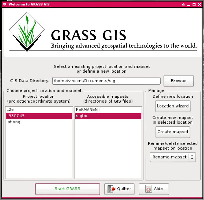
GRASSGIS welcome banner1.jpg 710 × 694; 75 KB
-
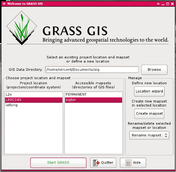
GRASSGIS welcome banner2.jpg 709 × 693; 74 KB
-
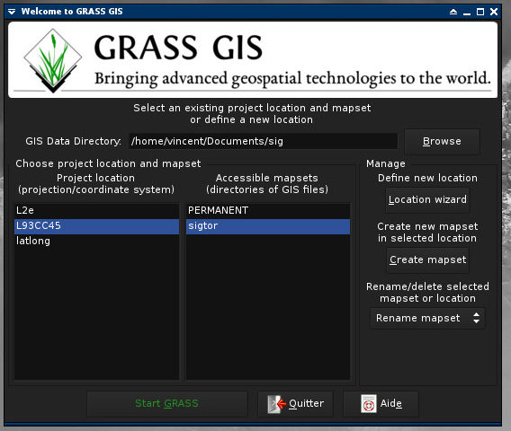
GRASSGIS welcome banner3.jpg 568 × 480; 49 KB
-
GRASSGIS splash5.jpg 2,000 × 1,125; 1.02 MB

