Uncategorized files
Jump to navigation
Jump to search
Showing below up to 50 results in range #751 to #800.
-
 Manual pages online keywords 7.2.png 587 × 592; 51 KB
-
 MapSwipe1.png 806 × 626; 513 KB
-
 MapSwipe multiple layers.png 1,317 × 744; 752 KB
-
 Map Display with DSM and legend with histogram.png 783 × 656; 380 KB
-
 Map lsat7 2002 class.png 640 × 480; 164 KB
-
 Map lsat7 2002 class supervised.png 640 × 480; 69 KB
-
 Map lsat7 2002 class unsupervised 15.png 640 × 480; 182 KB
-
 Map lsat7 2002 r1g5b7.png 640 × 480; 687 KB
-
 Map lsat7 2002 reject.png 640 × 480; 237 KB
-
 Mapdisplay iscatt.png 1,568 × 1,021; 1.47 MB
-
 Mappedwith freeh.png 1,192 × 563; 63 KB
-
 Mappedwith typo.png 1,196 × 438; 69 KB
-
 Mapswipe tsunami mirror.jpeg 806 × 626; 342 KB
-
 Marie-Curie logo.jpg 567 × 550; 153 KB
-
 Maris nartiss.jpg 500 × 455; 97 KB
-
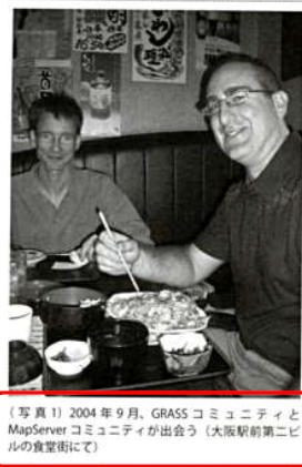 Markus-Jeff-FOSS4G-2004-meeting.png 272 × 421; 158 KB
-
 Markus.jpg 121 × 121; 2 KB
-
 Mars1ana crop.jpg 585 × 517; 61 KB
-
 Martin Landa.png 200 × 460; 133 KB
-
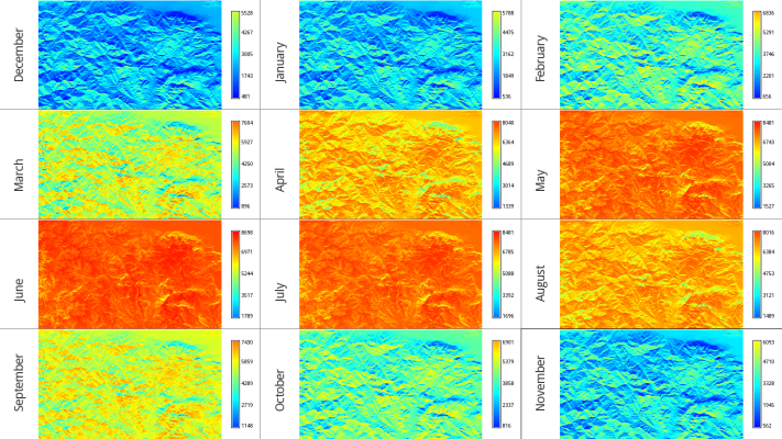 Mean monthly global rad maps over a study area in central Greece.png 711 × 400; 470 KB
-

-
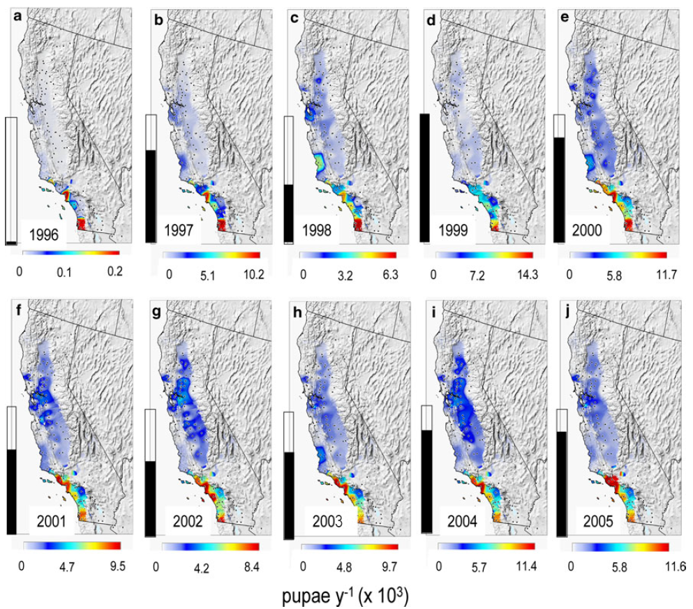 Medfly.png 993 × 873; 1,016 KB
-
 Mediawiki distance between sections.png 300 × 310; 21 KB
-
 Mediawiki distance between toc and section.png 300 × 250; 15 KB
-
 Meetup2016-10-18.jpeg 716 × 955; 149 KB
-
 Michael.jpg 319 × 480; 39 KB
-
 Mitasova petras 2018 agu grass gis.jpg 915 × 724; 201 KB
-
 Mitasova petras 2018 agu grass gis abstract.png 999 × 562; 752 KB
-
 Mlanda.png 400 × 534; 311 KB
-
 Modeler-main.png 24 × 24; 1 KB
-
 NCSU GRASS Developer Summit Lightning Veronica Andreo.jpg 2,776 × 1,854; 700 KB
-
 NCSU developer summit venue 2025 collage.jpg 1,200 × 560; 277 KB
-
 NC landsat map swipe.jpg 809 × 663; 189 KB
-
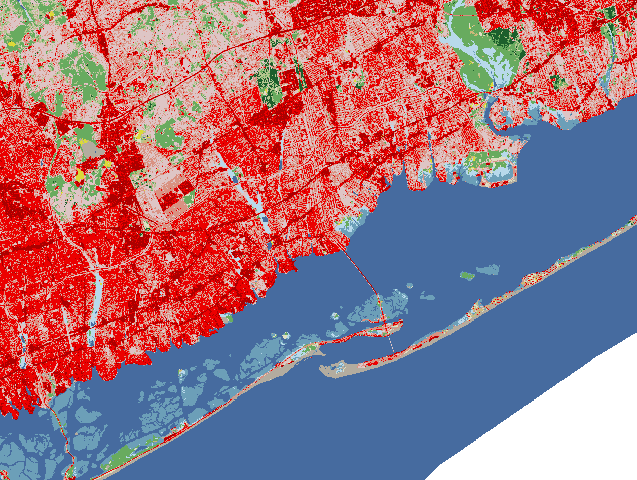 NLCD 2016 Land Cover example.png 637 × 480; 53 KB
-
 NLCD Colour Classification Update.jpg 1,450 × 2,375; 848 KB
-
 NSF Official logo.png 1,000 × 1,000; 279 KB
-
 NSF grant announcement.png 1,500 × 773; 252 KB
-
 N arrows7.png 350 × 699; 11 KB
-
 NagsHead.gif 259 × 186; 405 KB
-
 Narrow1.png 404 × 489; 8 KB
-
 Nc buildings stereo.png 915 × 537; 500 KB
-
 Nc spm 08 the computational region concept 800px height.png 670 × 800; 212 KB
-
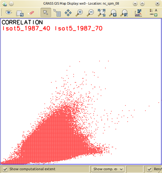 Nc spm 09 d.correlation of lsat5 1987 40 and lsat5 1987 70.png 523 × 556; 108 KB
-
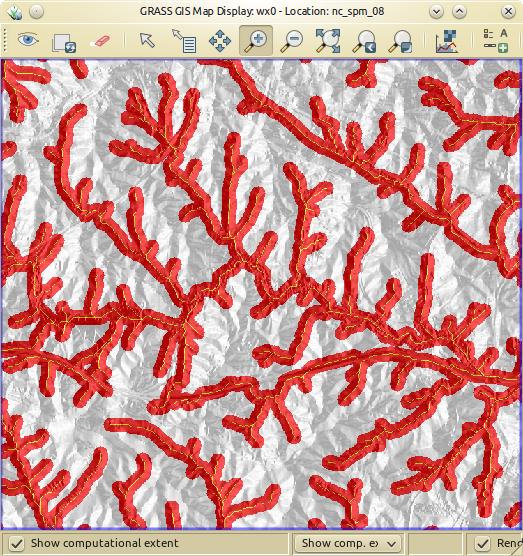 Nc spm 09 r.blend of aspect and streams derived buffered.png 523 × 556; 431 KB
-
 Ncdata.png 950 × 580; 314 KB
-
 Ncdata new.png 950 × 580; 314 KB
-
 Ncgis2017 ncsu booth tangible landscape.jpg 800 × 601; 136 KB
-
 Ncgis logo 2017.png 325 × 325; 4 KB
-
 Ncsu cga booth agu 2018.jpg 735 × 980; 126 KB
-
 Ncsu logo.jpg 454 × 224; 52 KB


