File:Bengkalis Island Landsat8 RGB Red NIR Blue.jpg
Size of this preview: 800 × 498 pixels. Other resolution: 1,738 × 1,082 pixels.
Original file (1,738 × 1,082 pixels, file size: 378 KB, MIME type: image/jpeg)
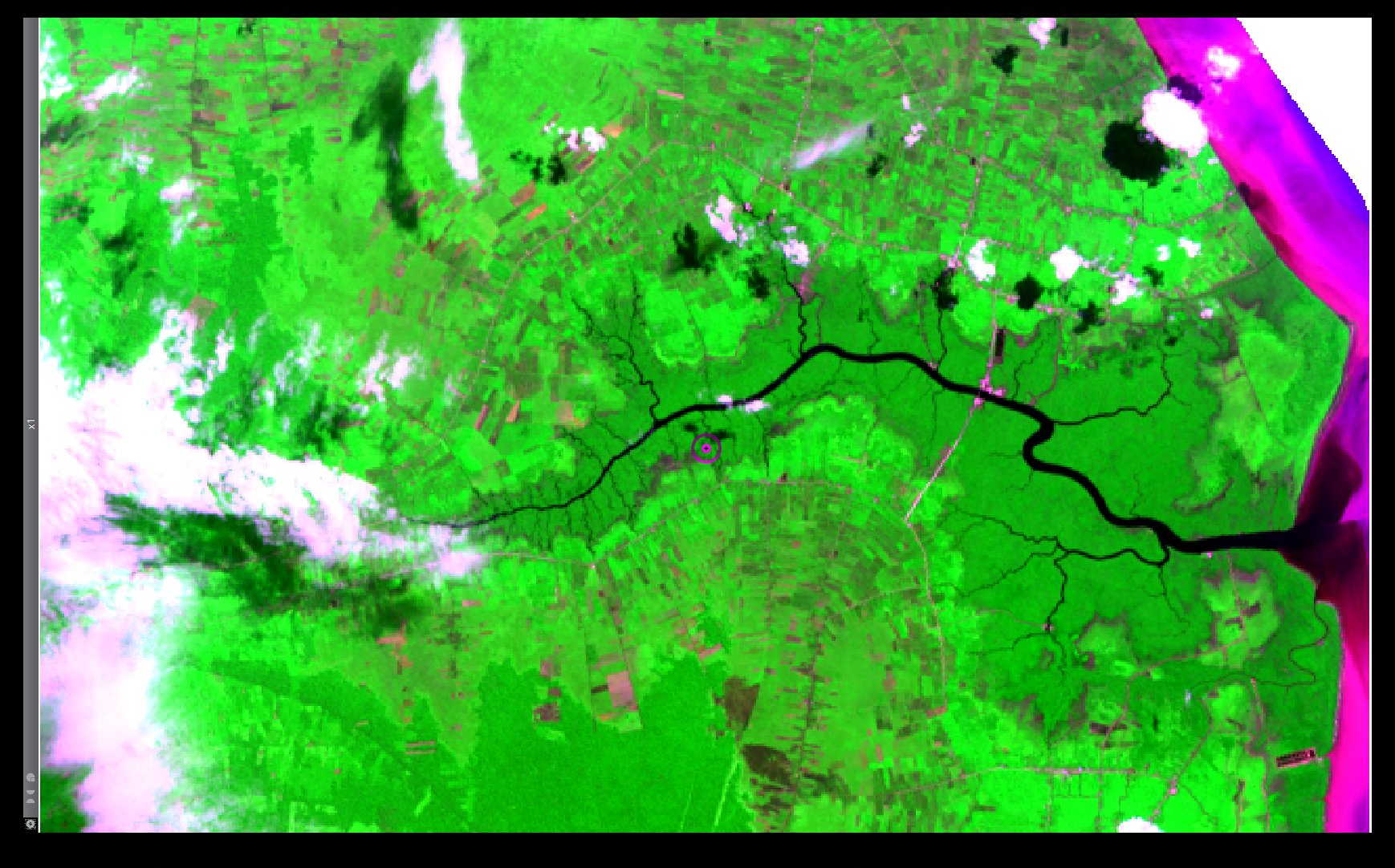
An RGB composite based on the Red, the NIR and the Blue multi-spectral bands of a Landsat 8 acquisition over the Bengkalis Island, Indonesia (LC81260592013137LGN01)
File history
Click on a date/time to view the file as it appeared at that time.
| Date/Time | Thumbnail | Dimensions | User | Comment | |
|---|---|---|---|---|---|
| current | 01:28, 15 November 2013 | | 1,738 × 1,082 (378 KB) | ⚠️NikosA (talk | contribs) | An RGB composite based on the Red, the NIR and the Blue multi-spectral bands of a Landsat 8 acquisition over the Bengkalis Island, Indonesia (LC81260592013137LGN01) |
You cannot overwrite this file.
File usage
There are no pages that use this file.