Cartography: Difference between revisions
Jump to navigation
Jump to search
(new) |
mNo edit summary |
||
| Line 1: | Line 1: | ||
== GRASS GIS and Cartography == | == GRASS GIS and Cartography == | ||
* see the [http://grass.osgeo.org/screenshots/cartography.php cartography screenshots page] | * For graphical examples, see the [http://grass.osgeo.org/screenshots/cartography.php cartography screenshots page] | ||
=== Using ps.map as cartographic engine === | === Using ps.map as cartographic engine === | ||
| Line 19: | Line 18: | ||
* Create [[ps.map_graph_paper|graph paper]] ready for printing. | * Create [[ps.map_graph_paper|graph paper]] ready for printing. | ||
* [[Ps.map_scripts|ps.map cartographic output examples]] | |||
* Some screenshots: | * Some screenshots: | ||
| Line 37: | Line 36: | ||
* [[GIS_Concepts#Geodesy_and_Cartography]] | * [[GIS_Concepts#Geodesy_and_Cartography]] | ||
* [[Marine_Science#Mapping_and_Cartography]] | * [[Marine_Science#Mapping_and_Cartography]] | ||
[[Category: Applications]] | |||
Revision as of 12:58, 4 June 2012
GRASS GIS and Cartography
- For graphical examples, see the cartography screenshots page
Using ps.map as cartographic engine
- Example showing all standard vareas fill pattern hatches. (Spearfish dataset)
- ps.map example demonstrating a scripted flood risk map
- Thematic maps of Belgium
- Create graph paper ready for printing.
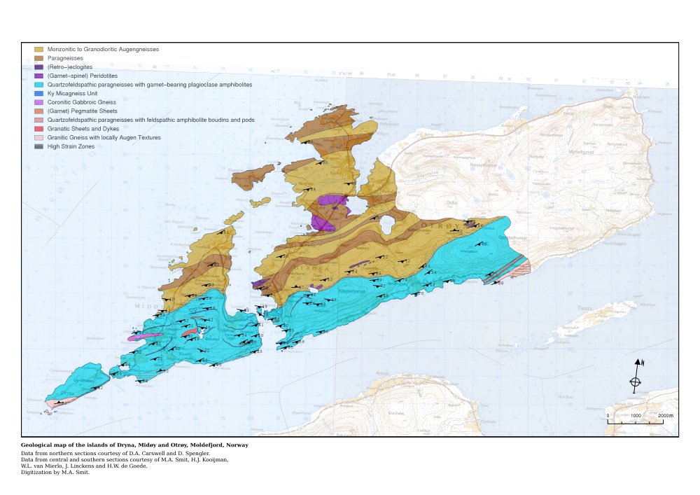
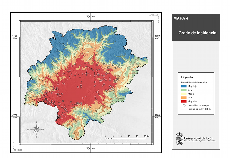
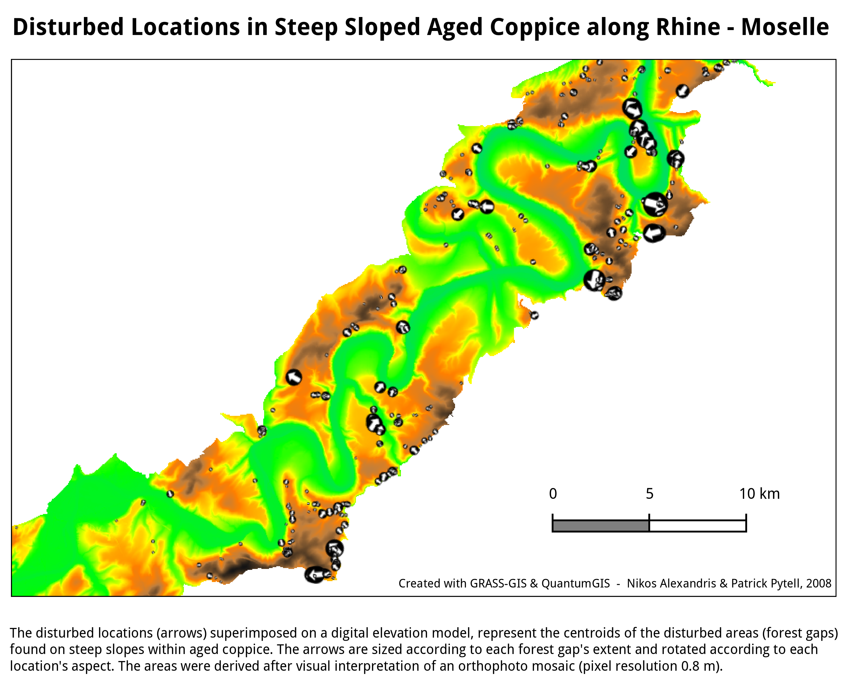
- Some screenshots:


