Cartography
GRASS GIS and Cartography
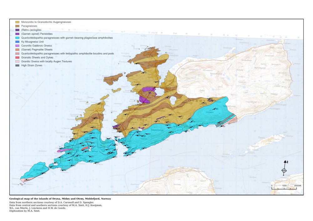
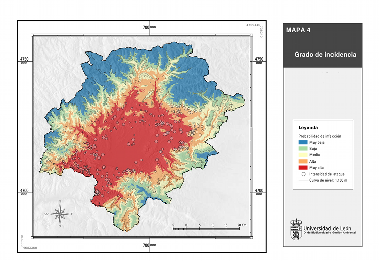
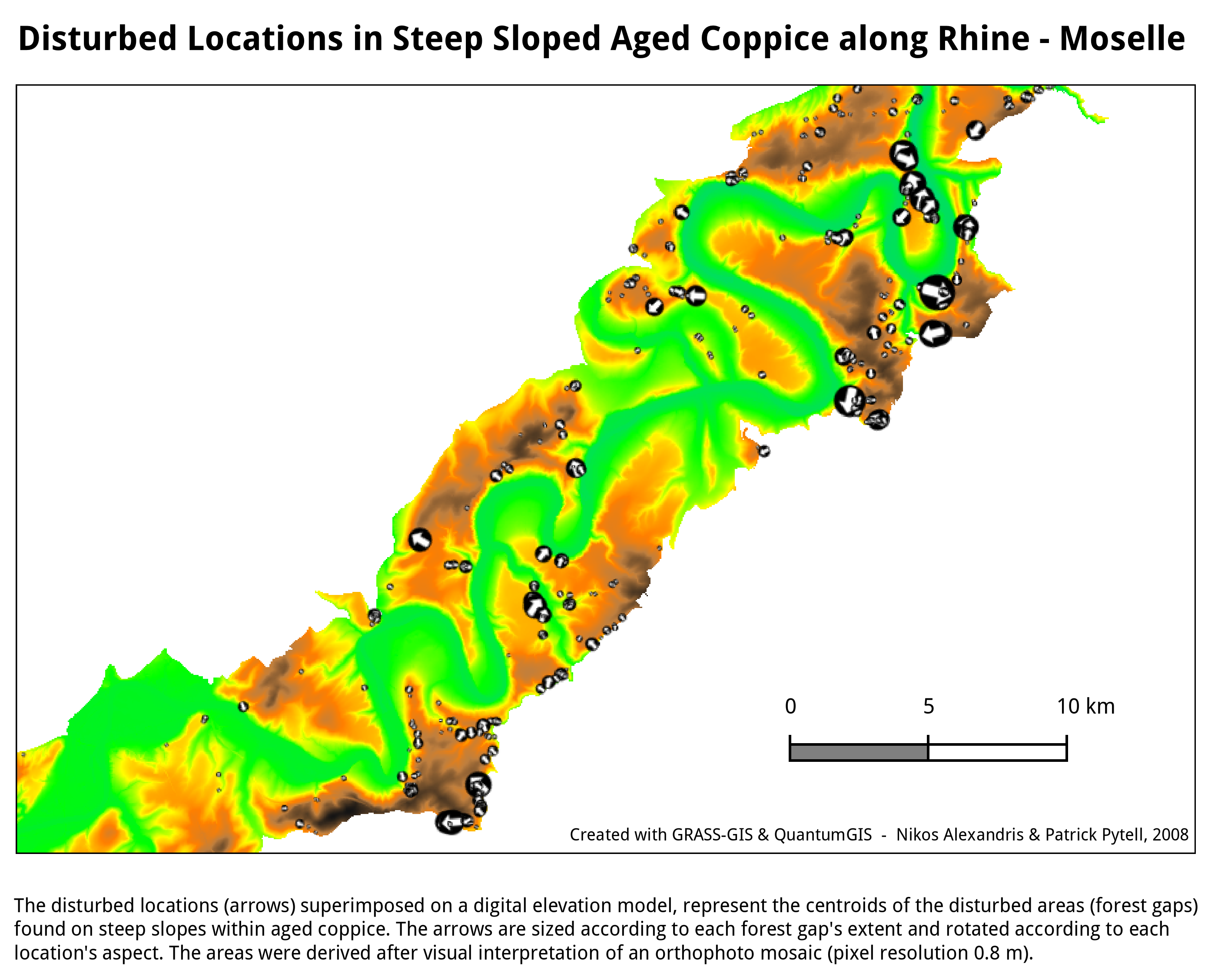
- For graphical examples, see the cartography screenshots page
Using ps.map as cartographic engine
- WxGUI Cartographic Composer is an graphical user interface to ps.map.
- Example showing all standard vareas fill pattern hatches. (Spearfish dataset)
- ps.map example demonstrating a scripted flood risk map
- Thematic maps of Belgium
- Create graph paper ready for printing.
- Some screenshots:


Using GMT
See also
- GIS_Concepts#Geodesy_and_Cartography
- Marine_Science#Mapping_and_Cartography
- Getting Real: Reflecting on the New Look of National Park Service Maps - nice paper about realistic cartography