Extrude 2D polygons to 3D
Creating a 3D city model
You can create a 3D city model easily in GRASS GIS even if building heights are not available using v.extrude. We'll just assume a constant building height (otherwise you can use individual heights stored in the attribute table for the respective building).
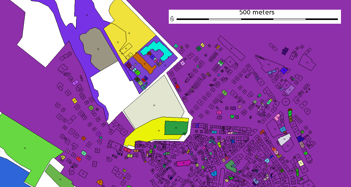
Here an example with OpenStreetMap (OSM) data:
# first reproject OSM data from LatLong to metric projection, e.g. UTM32N:
ogr2ogr -t_srs epsg:32632 polygons_UTM32.shp polygons.shp

Import into a metric GRASS location (here: UTM32N), extract the buildings and extrude them to 3D:
v.in.ogr polygons_UTM32.shp out=oberursel2D

# extract the buildings into a new map (use db.connect -p to see which driver you are using):
### statement for DBF driver:
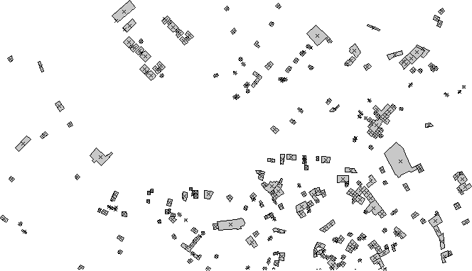
v.extract oberursel2D out=oberursel2D_small where="tags LIKE 'building'"

### statement for SQLite driver:
v.extract oberursel2D out=oberursel2D_small where="tags LIKE LIKE '%building%'"

# extrude 2D building polygons to 3D, here with a constant height:
v.extrude oberursel2D_small out=oberursel3D height=20

# check that the 'areas' have become type 'faces':
v.info oberursel3D
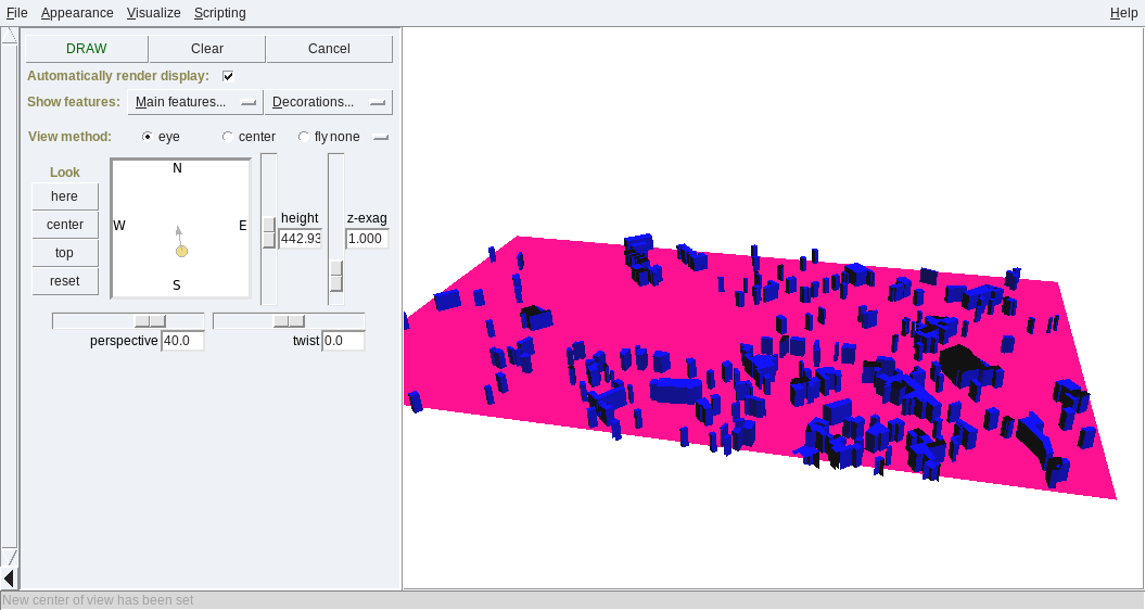
Ready! Now we can visualize them:
# set computation region to map:
g.region vect=oberursel3D

# generate a pseudo-DEM (if you have a real DEM, use the 'elevation=' parameter in v.extrude above):
r.mapcalc "mydem = 0.0"

# visualize in 3D:
nviz elevation=mydem vect=oberursel3D
