File:Corine land cover 2000.png: Difference between revisions
Jump to navigation
Jump to search
m (license info added) |
No edit summary |
||
| Line 1: | Line 1: | ||
Screenshot of the CORINE2000 land cover map | |||
Latest revision as of 23:58, 13 August 2009
Screenshot of the CORINE2000 land cover map
License
EEA grants free access to all its data/applications provided that the user agrees:
· to acknowledge the source as follows: Copyright EEA, Copenhagen, 2007
· to display a link to the EEA web site http://www.eea.europa.eu
· not to use the data/applications for commercial purposes unless the Agency has expressly granted the right to do so
File history
Click on a date/time to view the file as it appeared at that time.
| Date/Time | Thumbnail | Dimensions | User | Comment | |
|---|---|---|---|---|---|
| current | 09:16, 11 August 2009 |  | 400 × 351 (85 KB) | ⚠️NikosA (talk | contribs) | keep the 400pix version |
| 09:12, 11 August 2009 | 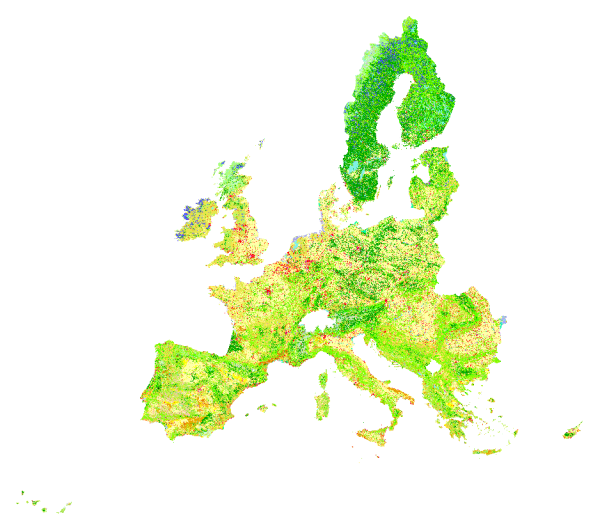 | 600 × 527 (185 KB) | ⚠️NikosA (talk | contribs) | Reverted to version as of 09:00, 11 August 2009 | |
| 09:11, 11 August 2009 |  | 400 × 351 (85 KB) | ⚠️NikosA (talk | contribs) | ||
| 09:10, 11 August 2009 |  | 400 × 351 (85 KB) | ⚠️NikosA (talk | contribs) | ||
| 09:00, 11 August 2009 |  | 600 × 527 (185 KB) | ⚠️NikosA (talk | contribs) | The CORINE2000 land cover map |
You cannot overwrite this file.
File usage
The following page uses this file: