File:Corine land cover 2000.png

No higher resolution available.
Corine_land_cover_2000.png (400 × 351 pixels, file size: 85 KB, MIME type: image/png)
The CORINE2000 land cover map
File history
Click on a date/time to view the file as it appeared at that time.
| Date/Time | Thumbnail | Dimensions | User | Comment | |
|---|---|---|---|---|---|
| current | 09:16, 11 August 2009 | | 400 × 351 (85 KB) | ⚠️NikosA (talk | contribs) | keep the 400pix version |
| 09:12, 11 August 2009 | 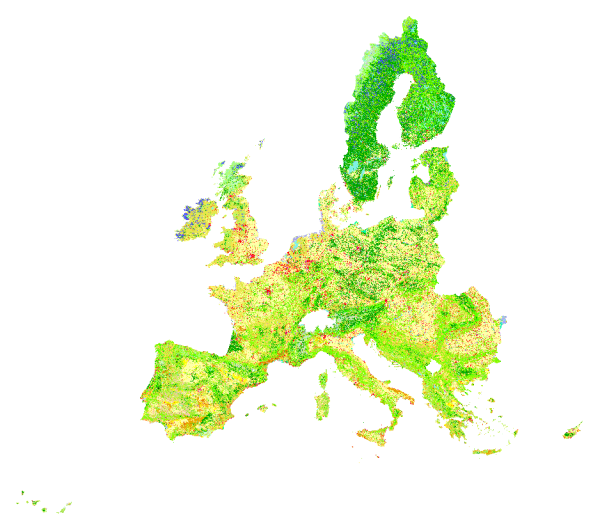 | 600 × 527 (185 KB) | ⚠️NikosA (talk | contribs) | Reverted to version as of 09:00, 11 August 2009 | |
| 09:11, 11 August 2009 |  | 400 × 351 (85 KB) | ⚠️NikosA (talk | contribs) | ||
| 09:10, 11 August 2009 |  | 400 × 351 (85 KB) | ⚠️NikosA (talk | contribs) | ||
| 09:00, 11 August 2009 |  | 600 × 527 (185 KB) | ⚠️NikosA (talk | contribs) | The CORINE2000 land cover map |
You cannot overwrite this file.
File usage
The following page uses this file: