File:Corine v2 greece viewed in qgis16 h800px.png: Difference between revisions
Jump to navigation
Jump to search
(The CORINE land cover (GRASS-GIS raster) map over Greece viewed within from QGIS) |
(No difference)
|
Latest revision as of 07:42, 23 July 2010
The CORINE land cover (GRASS-GIS raster) map over Greece viewed within from QGIS
File history
Click on a date/time to view the file as it appeared at that time.
| Date/Time | Thumbnail | Dimensions | User | Comment | |
|---|---|---|---|---|---|
| current | 07:42, 23 July 2010 | 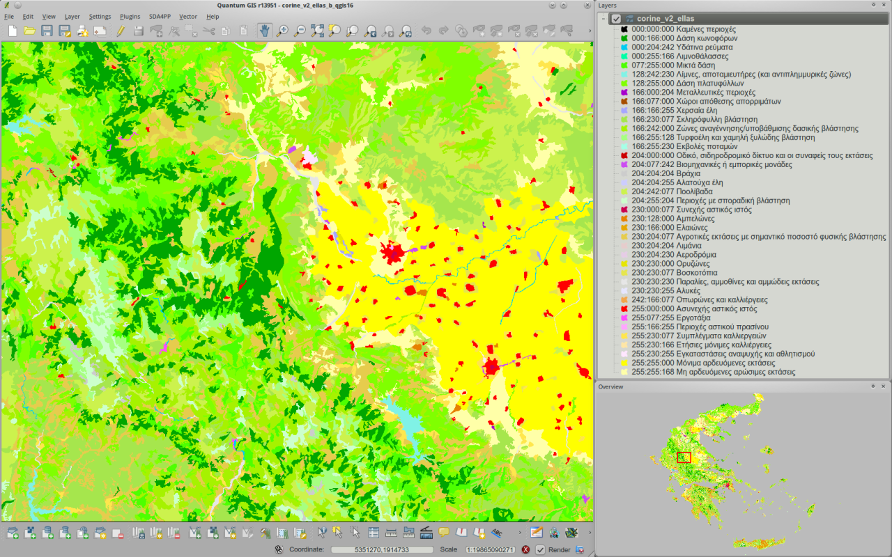 | 1,280 × 800 (852 KB) | ⚠️NikosA (talk | contribs) | The CORINE land cover (GRASS-GIS raster) map over Greece viewed within from QGIS |
You cannot overwrite this file.
File usage
The following page uses this file: