File:Counting ground points per cell with r.in.lidar.png
Size of this preview: 615 × 600 pixels. Other resolution: 1,206 × 1,176 pixels.
Original file (1,206 × 1,176 pixels, file size: 231 KB, MIME type: image/png)
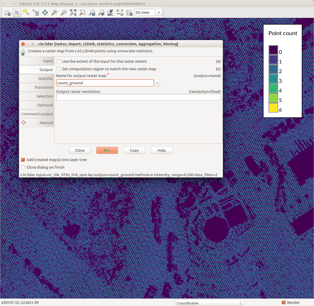
GRASS GIS 7.2 wxGUI Map Display, legend with d.legend, r.in.lidar dialog, ground point density pattern in the background
File history
Click on a date/time to view the file as it appeared at that time.
| Date/Time | Thumbnail | Dimensions | User | Comment | |
|---|---|---|---|---|---|
| current | 19:16, 1 August 2017 | | 1,206 × 1,176 (231 KB) | ⚠️Wenzeslaus (talk | contribs) | GRASS GIS 7.2 wxGUI Map Display, legend with d.legend, r.in.lidar dialog, ground point density pattern in the background |
You cannot overwrite this file.
File usage
The following 2 pages use this file: