File:Geopaparazzi NCsoils.jpg: Difference between revisions
Jump to navigation
Jump to search
(North Carolina sample dataset roadsmajor and usgsgages vector maps (exported as GPX with v.out.ogr) draped over and MBTiles tileset of the combined soilsID and elevation_shade raster layers (combined with d.shadedmap then exported with r.out.mbtiles_pr...) |
(No difference)
|
Latest revision as of 03:18, 18 May 2014
North Carolina sample dataset roadsmajor and usgsgages vector maps (exported as GPX with v.out.ogr) draped over and MBTiles tileset of the combined soilsID and elevation_shade raster layers (combined with d.shadedmap then exported with r.out.mbtiles_prep).
File history
Click on a date/time to view the file as it appeared at that time.
| Date/Time | Thumbnail | Dimensions | User | Comment | |
|---|---|---|---|---|---|
| current | 03:18, 18 May 2014 | 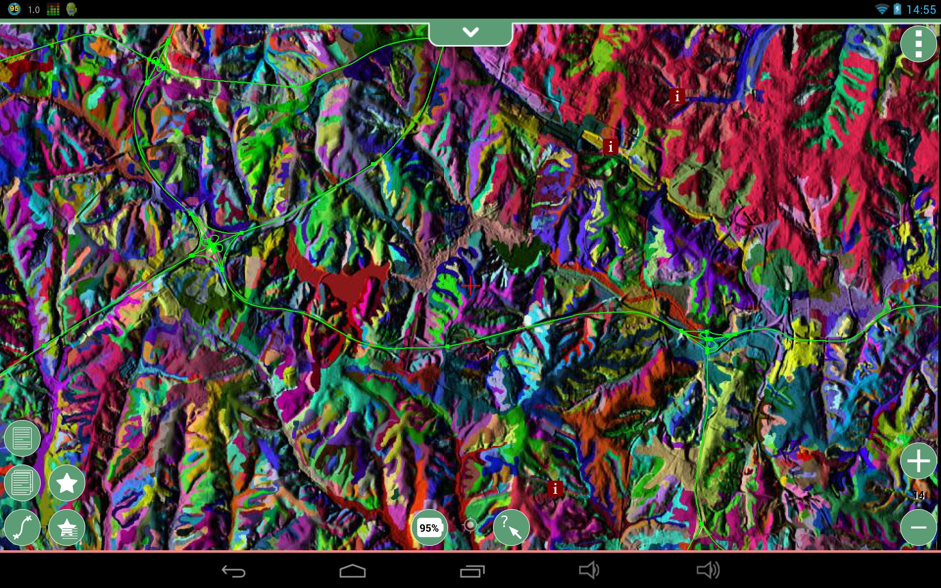 | 1,920 × 1,200 (691 KB) | ⚠️HamishBowman (talk | contribs) | North Carolina sample dataset roadsmajor and usgsgages vector maps (exported as GPX with v.out.ogr) draped over and MBTiles tileset of the combined soilsID and elevation_shade raster layers (combined with d.shadedmap then exported with r.out.mbtiles_pr... |
You cannot overwrite this file.
File usage
The following page uses this file: