File:Geopaparazzi NCsoils.jpg
Size of this preview: 800 × 500 pixels. Other resolution: 1,920 × 1,200 pixels.
Original file (1,920 × 1,200 pixels, file size: 691 KB, MIME type: image/jpeg)
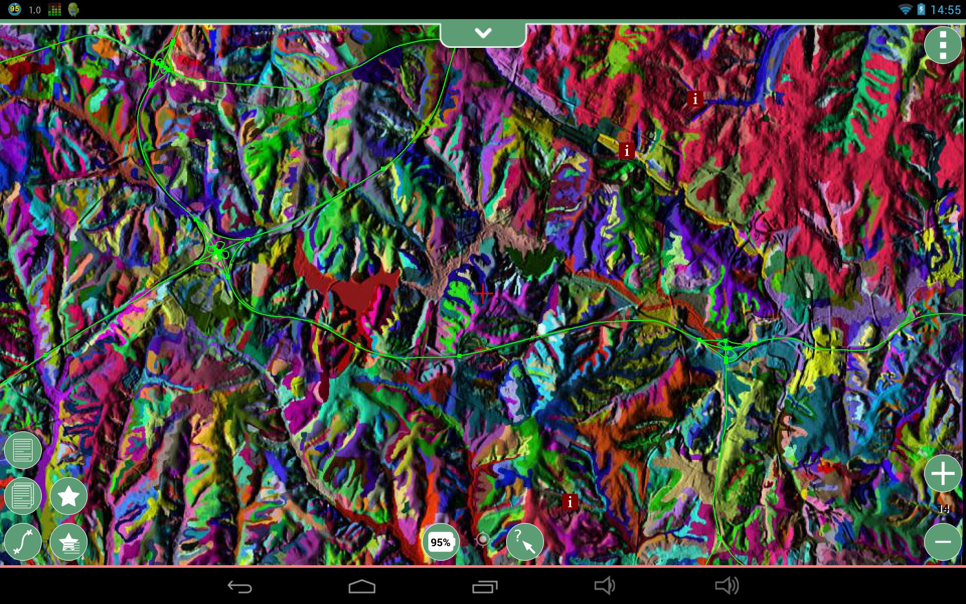
North Carolina sample dataset roadsmajor and usgsgages vector maps (exported as GPX with v.out.ogr) draped over and MBTiles tileset of the combined soilsID and elevation_shade raster layers (combined with d.shadedmap then exported with r.out.mbtiles_prep).
File history
Click on a date/time to view the file as it appeared at that time.
| Date/Time | Thumbnail | Dimensions | User | Comment | |
|---|---|---|---|---|---|
| current | 03:18, 18 May 2014 | | 1,920 × 1,200 (691 KB) | ⚠️HamishBowman (talk | contribs) | North Carolina sample dataset roadsmajor and usgsgages vector maps (exported as GPX with v.out.ogr) draped over and MBTiles tileset of the combined soilsID and elevation_shade raster layers (combined with d.shadedmap then exported with r.out.mbtiles_pr... |
You cannot overwrite this file.
File usage
The following page uses this file: