File:LAS serpent nviz.jpg
Size of this preview: 539 × 599 pixels. Other resolution: 714 × 794 pixels.
Original file (714 × 794 pixels, file size: 94 KB, MIME type: image/jpeg)
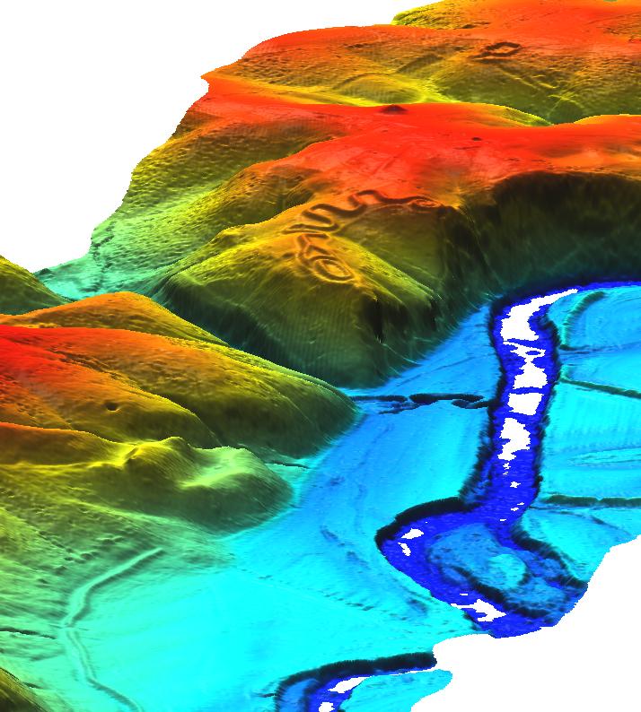
NVIZ representation of LIDAR data covering the 400m long Great Serpent Mound & gorge in Adams County, Ohio, USA.
(raw LAS data courtesy of appliedimagery.com)
File history
Click on a date/time to view the file as it appeared at that time.
| Date/Time | Thumbnail | Dimensions | User | Comment | |
|---|---|---|---|---|---|
| current | 21:29, 4 February 2009 | | 714 × 794 (94 KB) | ⚠️HamishBowman (talk | contribs) | NVIZ representation of LIDAR data covering the 400m long Great Serpent Mound & gorge in Adams County, Ohio, USA. (raw LAS data courtesy of appliedimagery.com) |
You cannot overwrite this file.
File usage
The following page uses this file: