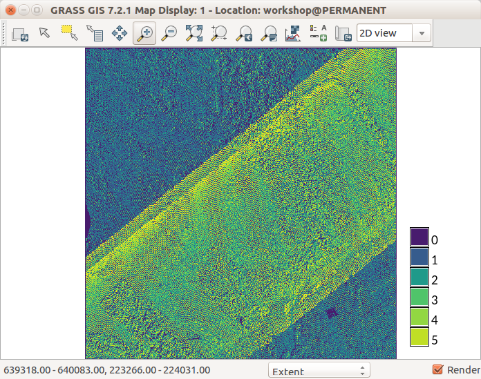
File:Lidar point density with fine resolution showing swath overlap.png
No higher resolution available.
Lidar_point_density_with_fine_resolution_showing_swath_overlap.png (696 × 549 pixels, file size: 246 KB, MIME type: image/png)
r.in.lidar with method=n using fine resolution
GRASS GIS 7.2 Map Display
File history
Click on a date/time to view the file as it appeared at that time.
| Date/Time | Thumbnail | Dimensions | User | Comment | |
|---|---|---|---|---|---|
| current | 13:37, 1 August 2017 | | 696 × 549 (246 KB) | ⚠️Wenzeslaus (talk | contribs) | r.in.lidar with method=n using fine resolution GRASS GIS 7.2 Map Display |
You cannot overwrite this file.
File usage
The following 2 pages use this file: