File:Map lsat7 2002 reject.png
No higher resolution available.
Map_lsat7_2002_reject.png (640 × 480 pixels, file size: 237 KB, MIME type: image/png)
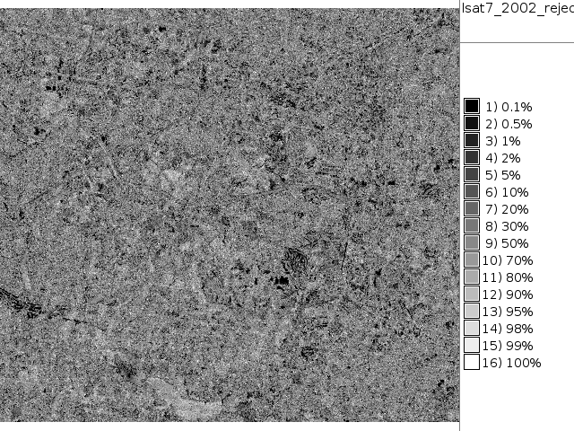
NC Landsat map 2002 - unsupervised classification rejection map
File history
Click on a date/time to view the file as it appeared at that time.
| Date/Time | Thumbnail | Dimensions | User | Comment | |
|---|---|---|---|---|---|
| current | 18:44, 26 September 2011 | | 640 × 480 (237 KB) | Neteler (talk | contribs) | NC Landsat map 2002 - unsupervised classification rejection map |
You cannot overwrite this file.
File usage
The following 2 pages use this file: