GRASS GIS Standardized Sample Datasets: Difference between revisions
Jump to navigation
Jump to search
⚠️Wenzeslaus (talk | contribs) (→Example: add NC and Piemonte examples for r.slope.aspect and r.relief) |
⚠️Wenzeslaus (talk | contribs) (→List of datasets: link existing datasets; TODO: naming is inconsistent and not informative (esp. for the new GRASS dataset)) |
||
| Line 4: | Line 4: | ||
== List of datasets == | == List of datasets == | ||
* Future [http://trac.osgeo.org/grass/wiki/SampleDataset GRASS GIS Sample Dataset] (reference for other datasets, under development) | |||
* Original [http://grass.osgeo.org/download/sample-data/ North Carolina GRASS Sample Location] (map names partially standardized, content partially standardized, currently used dataset, to be depreciated) | |||
* [http://geodati.fmach.it/gfoss_geodata/libro_gfoss/ Piemonte, Italy] (map names not standardized, content not standardized, work in progress) | |||
== Examples == | == Examples == | ||
Revision as of 17:59, 25 March 2015
See Trac wiki page for the development of the dataset.
List of datasets
- Future GRASS GIS Sample Dataset (reference for other datasets, under development)
- Original North Carolina GRASS Sample Location (map names partially standardized, content partially standardized, currently used dataset, to be depreciated)
- Piemonte, Italy (map names not standardized, content not standardized, work in progress)
Examples
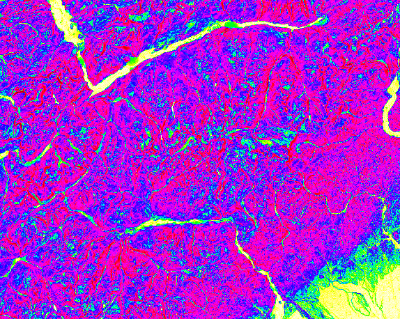
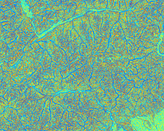
Computing slope and aspect
Compute slope, aspect and profile curvature of the terrain:
g.region raster=elevation
r.slope.aspect elevation=elevation slope=slope aspect=aspect pcurvature=profile_curvature
-
Aspect (North Carolina, USA)
-
Slope (North Carolina, USA)
-
Profile curvature (North Carolina, USA)
-
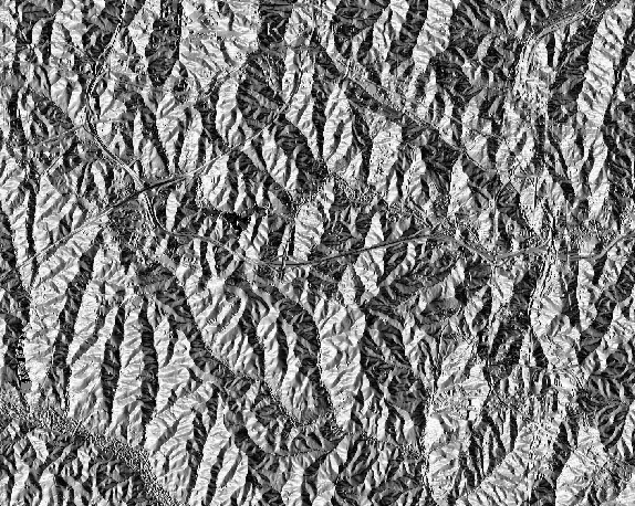
Aspect (Piemonte, Italy)
-
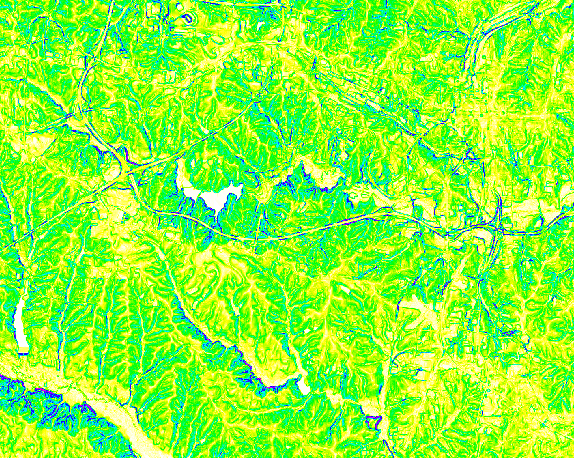
Slope (Piemonte, Italy)
-
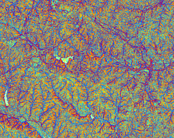
Profile curvature (Piemonte, Italy)


Visualizing shaded relief
Visualize digital elevation model with shaded relief:
g.region raster=elevation
r.relief input=elevation output=shade
d.shade shade=shade color=elevation
-
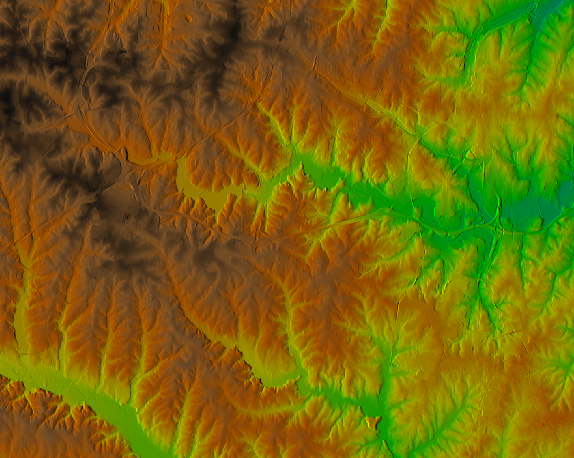
North Carolina, USA
-
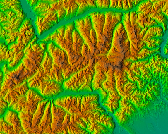
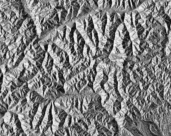
Piemonte, Italy

