Projection: Difference between revisions
Jump to navigation
Jump to search
(cleanup with Map Reprojection content) |
(* Catalog of projections: http://proj4.org/projections) |
||
| Line 19: | Line 19: | ||
= See also = | = See also = | ||
* In English: | * In English: | ||
** Catalog of projections: http://proj4.org/projections | |||
** [http://www.epsg.org/Geodetic.html EPSG Geodetic Parameter Dataset] | ** [http://www.epsg.org/Geodetic.html EPSG Geodetic Parameter Dataset] | ||
** [http://www.asprs.org/resources/grids/ ASPRS Grids and Datum] | ** [http://www.asprs.org/resources/grids/ ASPRS Grids and Datum] | ||
Revision as of 13:11, 2 September 2016
Projections and Datum Transformations
Brief introduction to projections and spatial transformations in GRASS
A GRASS location is referenced with a single projection and coordinate system (or unreferenced as XY location). When creating a new location from an existing raster or vector map using the tools available from the startup screen or the map import commands, projection and coordinate system are defined. To change the projection of maps, a new location has to be created and the desired maps have to be reprojected into it from the source location as explained below.
Read on in projectionintro...
Creation of a GRASS location
- for the concept, see Location and Mapsets
- for creating a location, see GRASS Location Wizard
- Reprojection, see Map Reprojection
Support Material
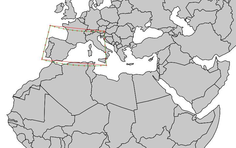
- Vector data: have enough vertices in your vector data:
Results in EU LAEA (EPSG: 3035) - Ready to use .PRJ files (in the usual WKT format) as used by recent versions of ESRI ArcView: download

See also
- In English:
- In German language: