File list
Jump to navigation
Jump to search
This special page shows all uploaded files.
| Date | Name | Thumbnail | Size | User | Description | Versions |
|---|---|---|---|---|---|---|
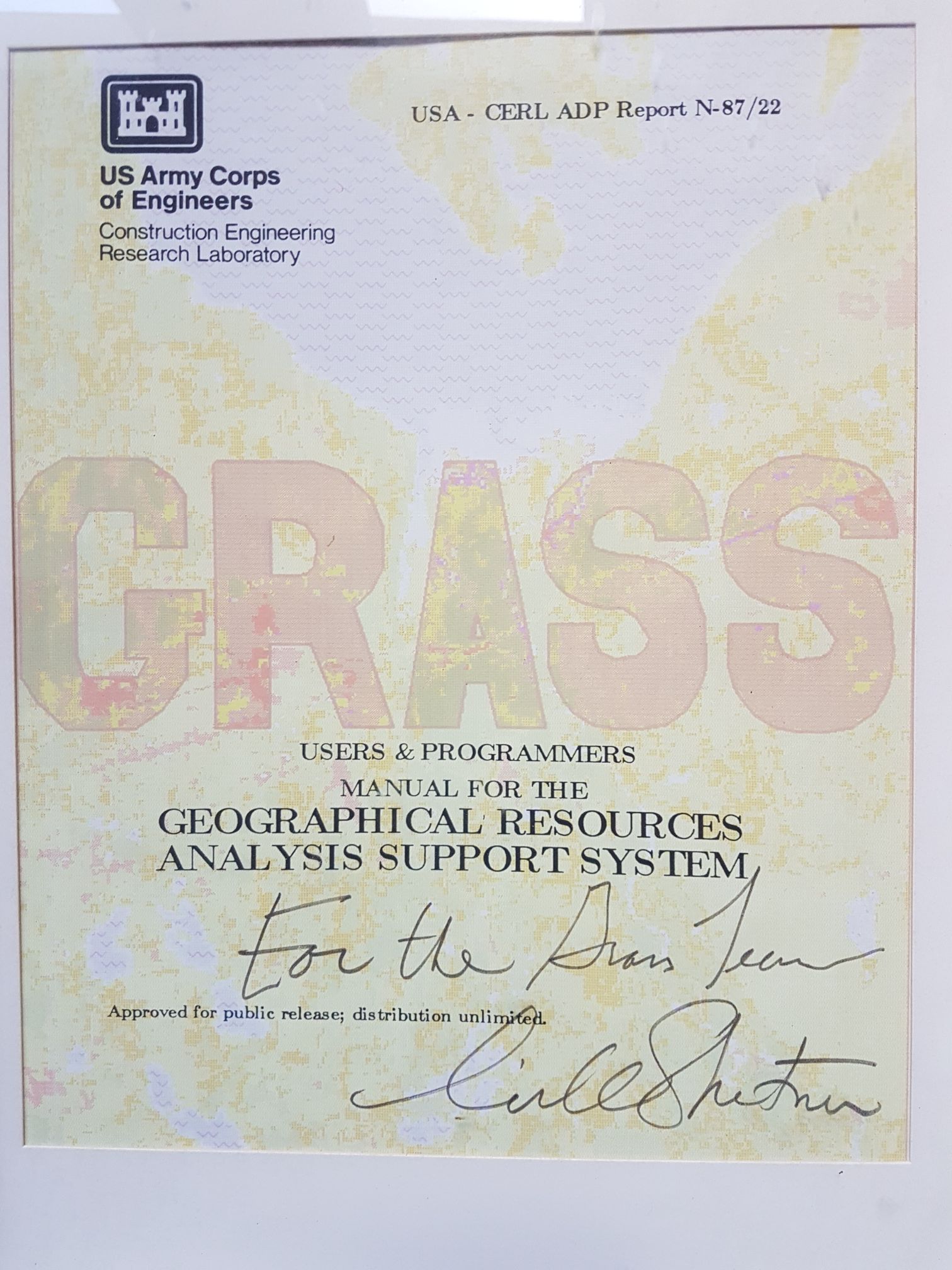
| 15:38, 6 November 2018 | Grass manual signed coverpage.jpg (file) |  |
410 KB | ⚠️Peter.loewe | 1 | |
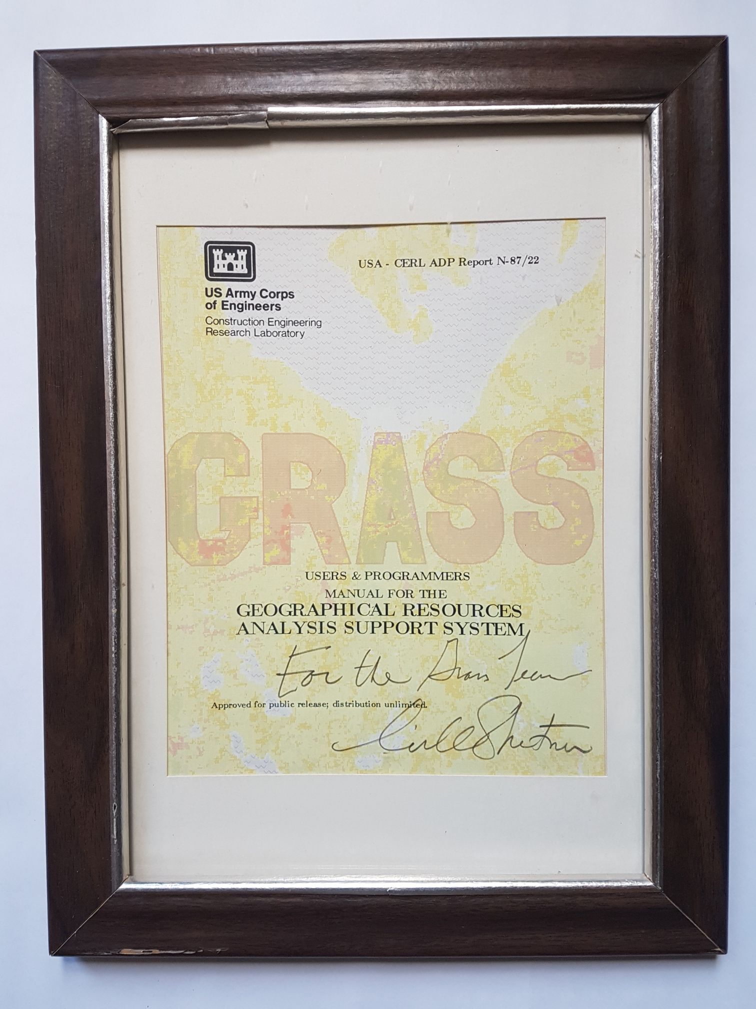
| 15:37, 6 November 2018 | Grass manual signed framed.jpg (file) |  |
377 KB | ⚠️Peter.loewe | 2 | |
| 19:44, 14 September 2018 | Stefan.png (file) |  |
232 KB | ⚠️Sbl | 1 | |
| 09:25, 3 September 2018 | 20140830 180722 resized.jpg (file) |  |
870 KB | ⚠️Peter.loewe | 1 | |
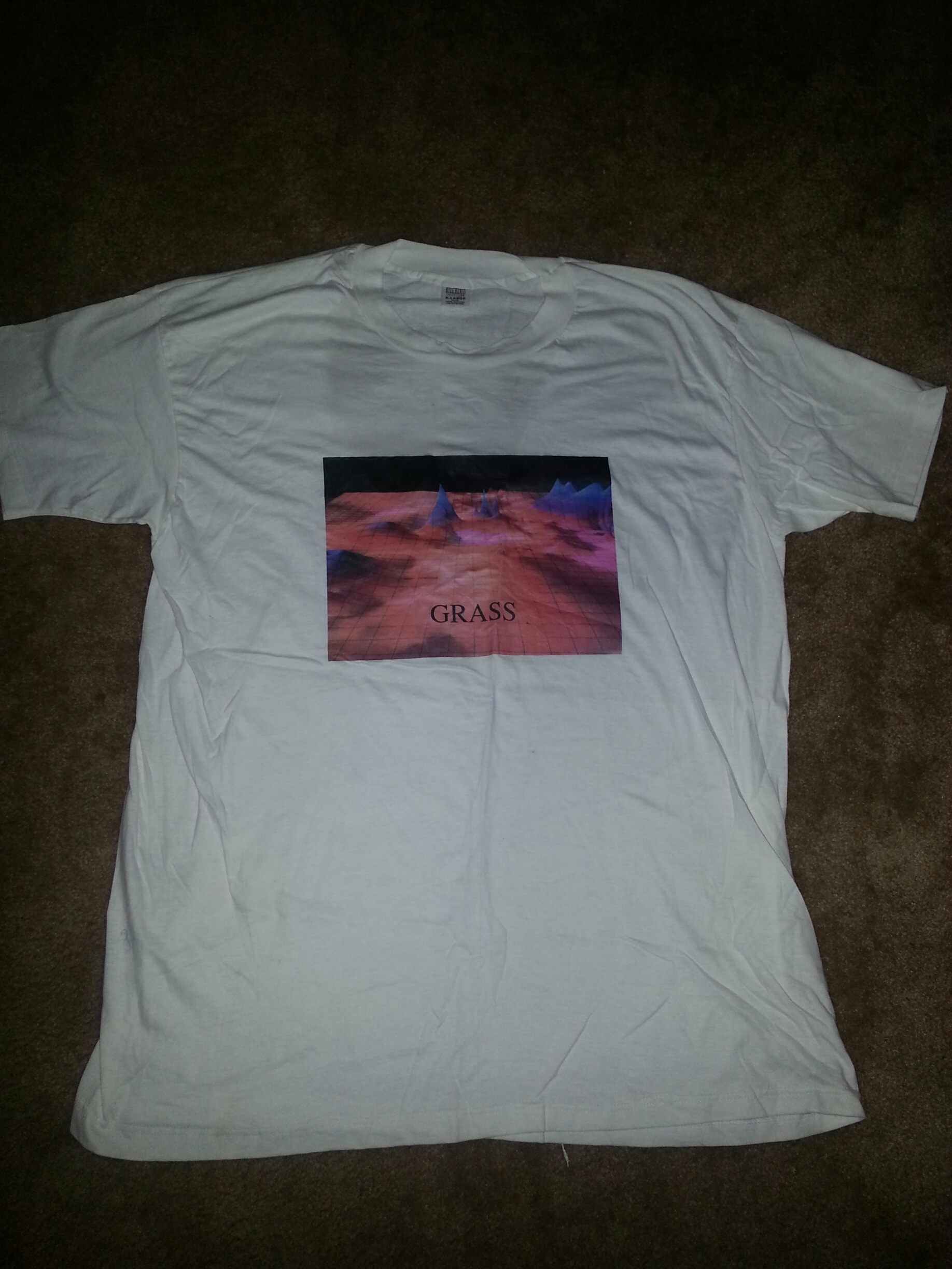
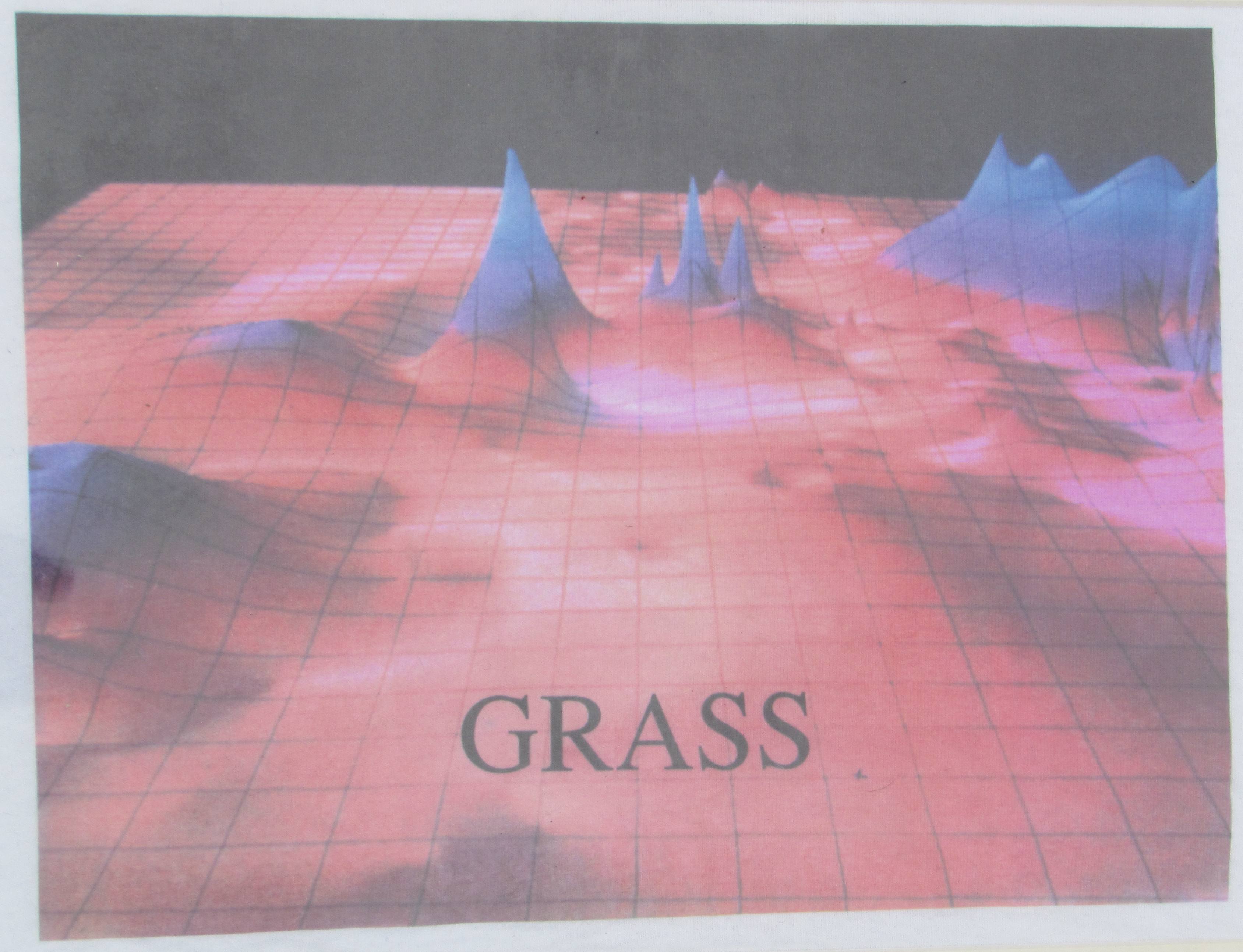
| 09:24, 3 September 2018 | CERL tshirt closeup late 1980s.jpg (file) |  |
580 KB | ⚠️Peter.loewe | E-Mail from Marji Larsson to Peter Löwe (1.9.2014, before FOSS4G 2014 in Portland, OR) "When we first began doing 3-D modeling (late 80's I think...) someone at CERL had some t-shirts printed up. I purchased one but have never worn it. I kept it in m... | 1 |
| 15:21, 23 April 2018 | Spread sods1 2.png (file) |  |
293 KB | ⚠️Cdyke | 1 | |
| 15:20, 23 April 2018 | Spread sods1 1.png (file) |  |
799 KB | ⚠️Cdyke | 1 | |
| 15:17, 23 April 2018 | Spread sodsr2.png (file) |  |
173 KB | ⚠️Cdyke | 1 | |
| 15:16, 23 April 2018 | Spread sodsr1.png (file) |  |
869 KB | ⚠️Cdyke | 1 | |
| 15:08, 23 April 2018 | Spread sodk2.png (file) |  |
536 KB | ⚠️Cdyke | 1 | |
| 15:06, 23 April 2018 | Spread sodk1.png (file) |  |
718 KB | ⚠️Cdyke | 1 | |
| 15:03, 23 April 2018 | Spread sod.png (file) |  |
524 KB | ⚠️Cdyke | 1 | |
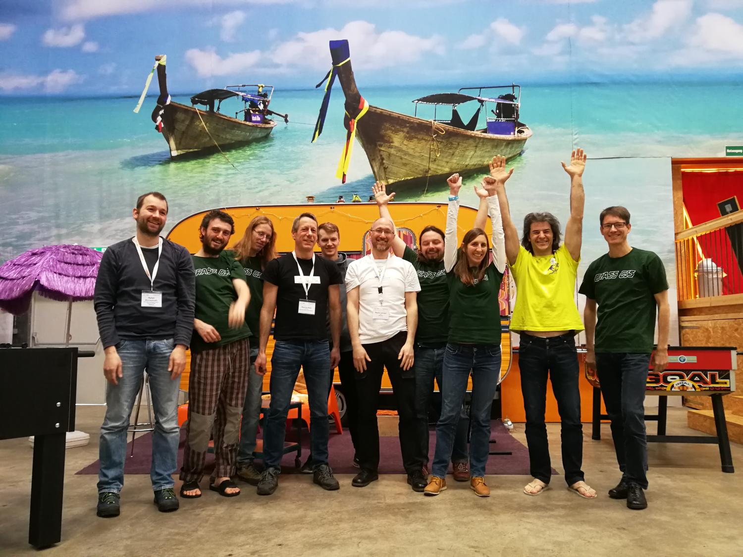
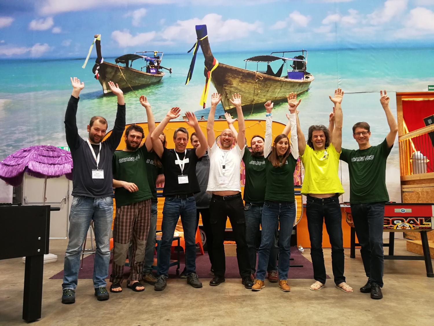
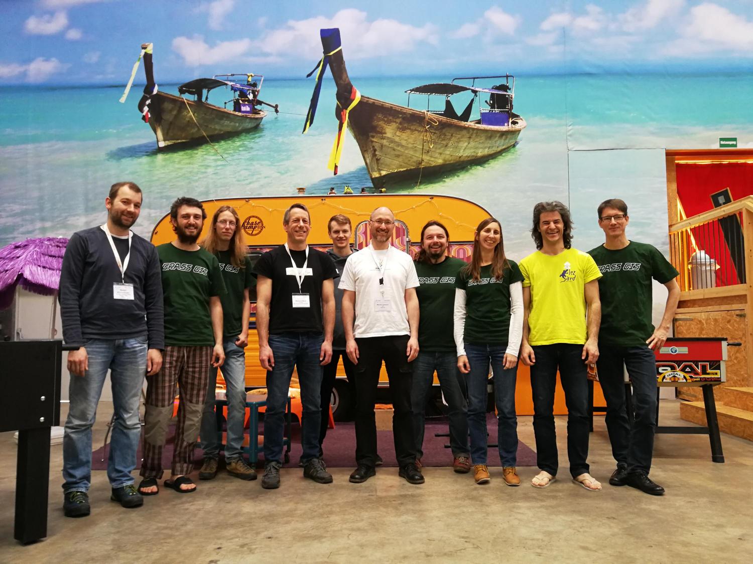
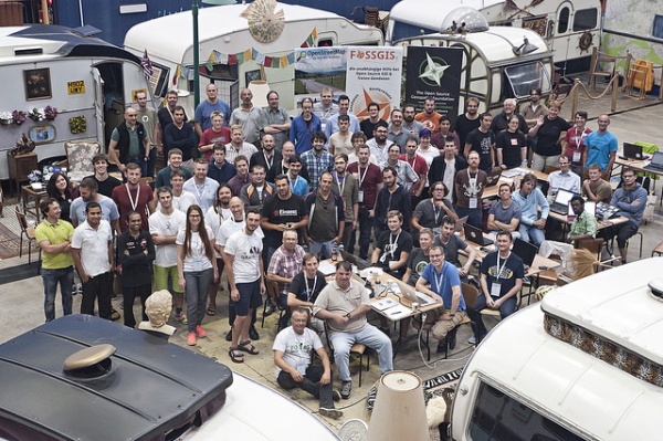
| 21:20, 15 April 2018 | Grass sprint2018 bonn fotowall.jpg (file) |  |
1.38 MB | Neteler | 1 | |
| 08:23, 2 April 2018 | Grass osgeo codesprint 2018 d.jpg (file) |  |
192 KB | Veroandreo | 1 | |
| 08:18, 2 April 2018 | Grass osgeo codesprint 2018 f.jpg (file) |  |
237 KB | Veroandreo | 1 | |
| 08:17, 2 April 2018 | Grass osgeo codesprint 2018 e.jpg (file) |  |
278 KB | Veroandreo | 1 | |
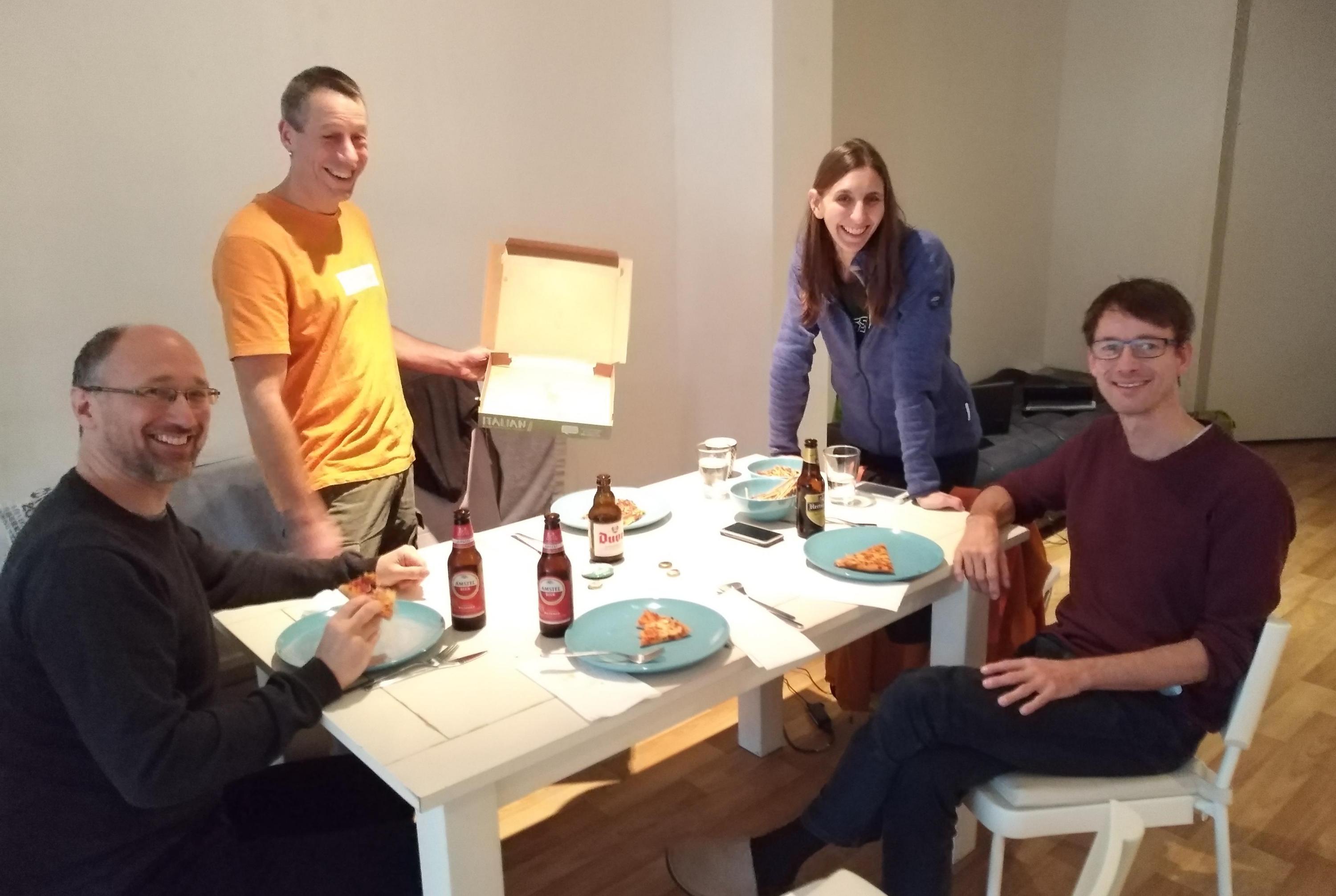
| 14:59, 1 April 2018 | Grass osgeo codesprint 2018 c.jpg (file) |  |
222 KB | Veroandreo | 1 | |
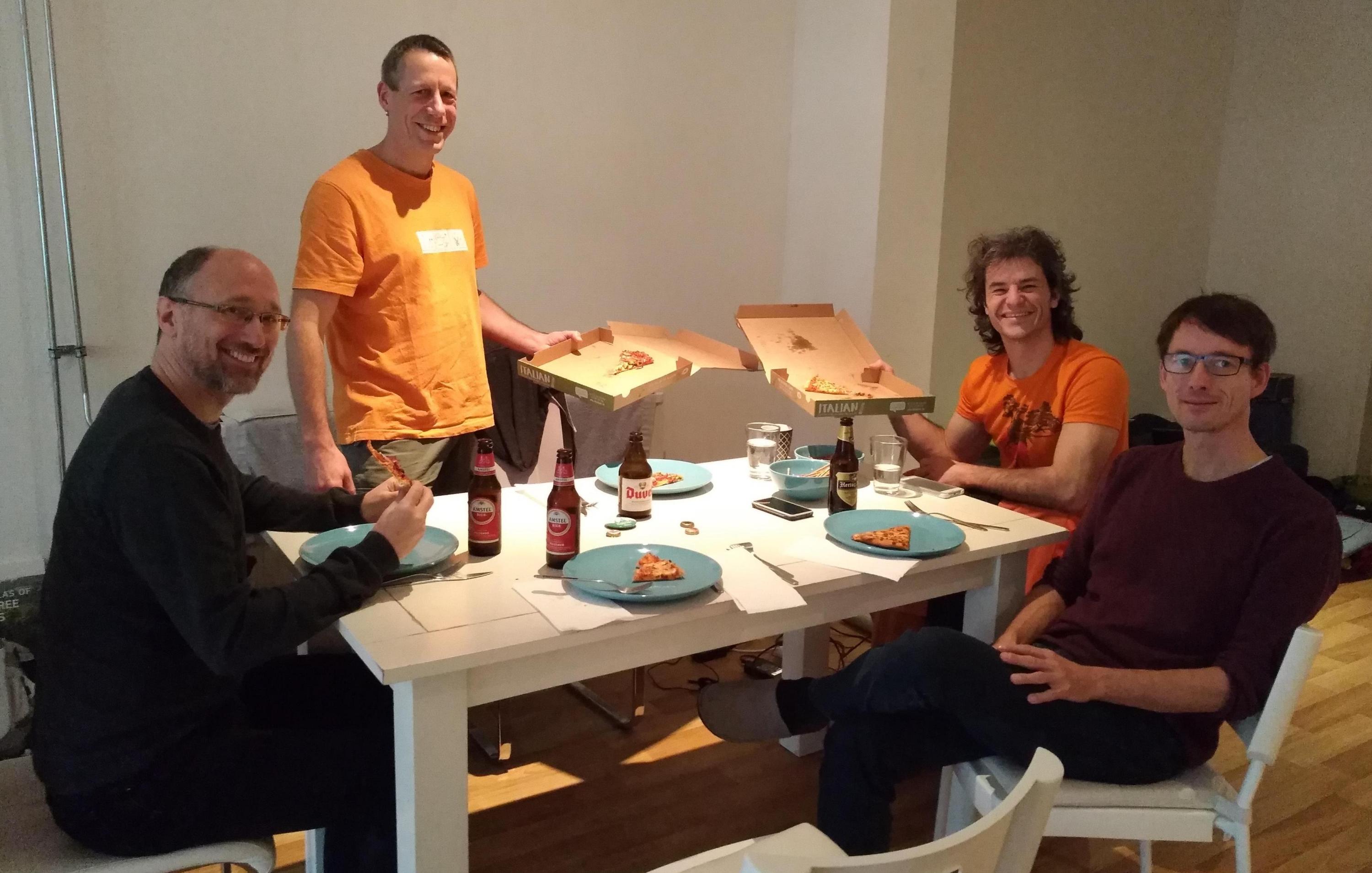
| 14:57, 1 April 2018 | Grass osgeo codesprint 2018 b.jpg (file) |  |
221 KB | Veroandreo | 1 | |
| 14:49, 1 April 2018 | Grass osgeo codesprint 2018.jpg (file) |  |
224 KB | Veroandreo | 2 | |
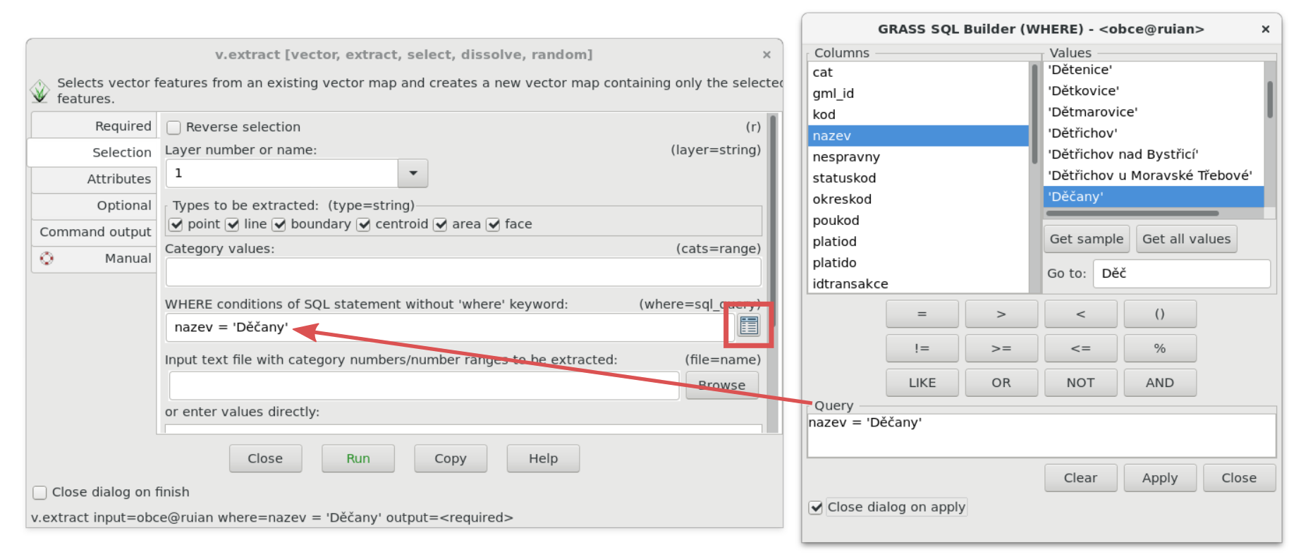
| 11:47, 24 March 2018 | Wxgui-sqlwhere-select.png (file) |  |
289 KB | ⚠️Landa | 1 | |
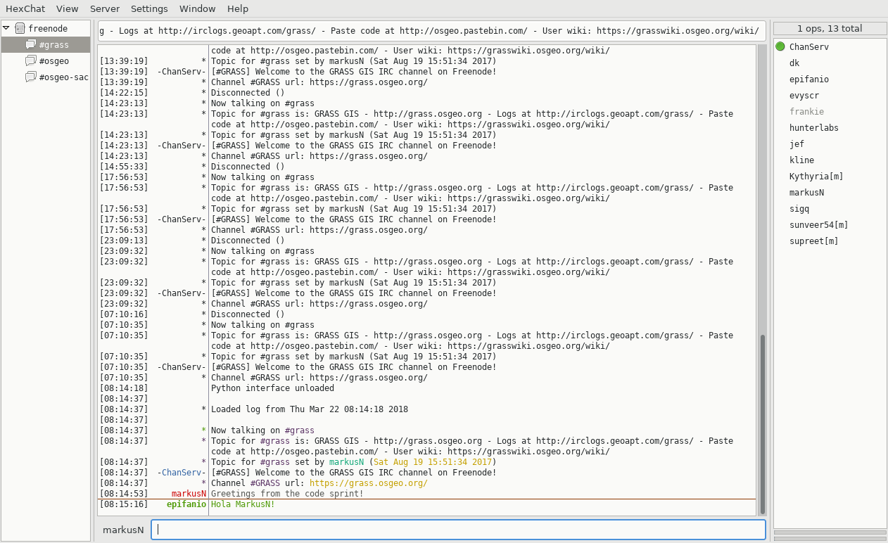
| 07:16, 22 March 2018 | Hexchat IRC client.png (file) |  |
171 KB | Neteler | 1 | |
| 01:30, 26 December 2017 | Osgeo logo.png (file) | 12 KB | Veroandreo | New osgeo logo | 1 | |
| 12:54, 7 December 2017 | GRASS GIS Code Sprint 2018.png (file) |  |
61 KB | ⚠️Vincent | 1 | |
| 10:55, 13 November 2017 | Sprint NL autumn 2017 2.jpg (file) |  |
379 KB | Veroandreo | 1 | |
| 10:53, 13 November 2017 | Sprint NL autumn 2017 1.jpg (file) |  |
470 KB | Veroandreo | 1 | |
| 19:49, 3 October 2017 | Osgeo-logo.png (file) | 30 KB | Veroandreo | 1 | ||
| 19:48, 3 October 2017 | GCI-logo.jpg (file) | 12 KB | Veroandreo | 1 | ||
| 09:32, 20 September 2017 | 600px-FOSS4G OSGeo Code Sprint group photo.jpg (file) |  |
147 KB | Neteler | FOSS4G 2016 Code Sprint, Bonn. Source: https://wiki.osgeo.org/images/thumb/a/a2/FOSS4G_OSGeo_Code_Sprint_group_photo.jpg/ | 1 |
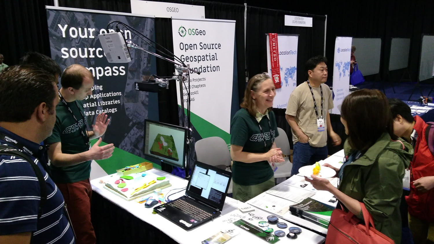
| 20:14, 20 August 2017 | OSGeo booth Boston 2017.jpg (file) |  |
311 KB | Annakrat | OSGeo booth at FOSS4G 2017 in Boston. Tangible Landscape demo, stickers, flyers. | 1 |
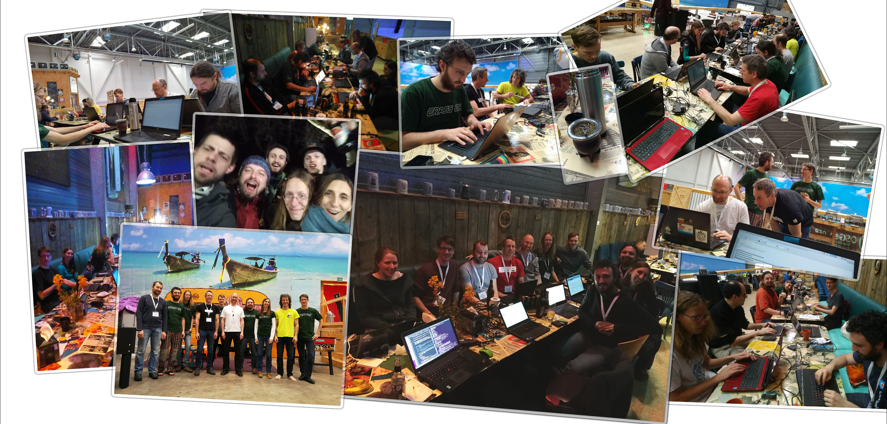
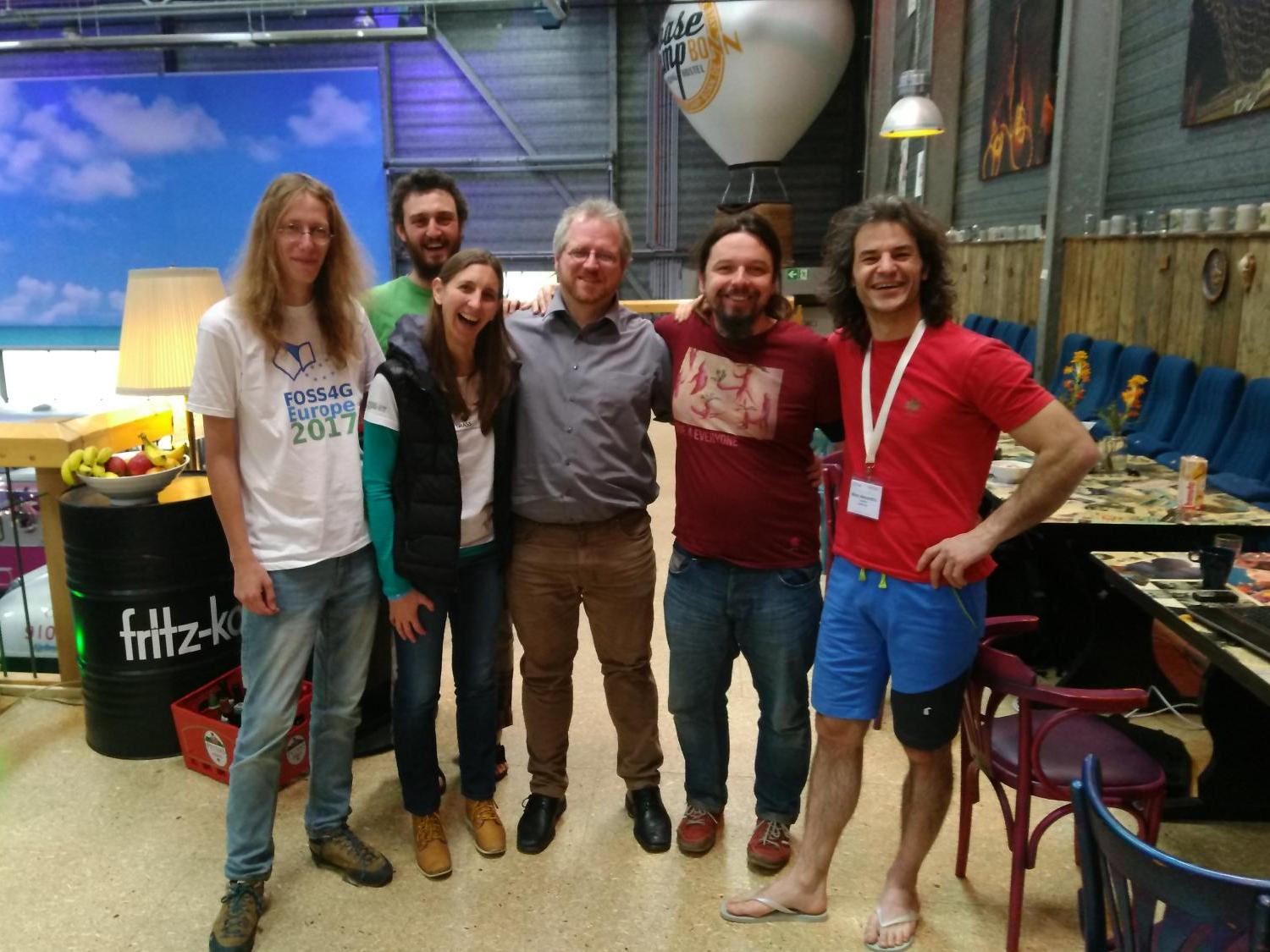
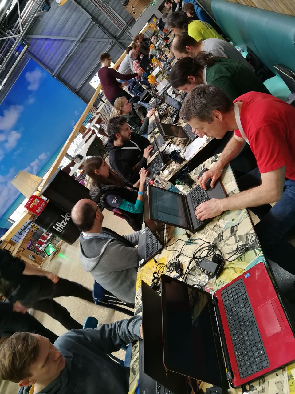
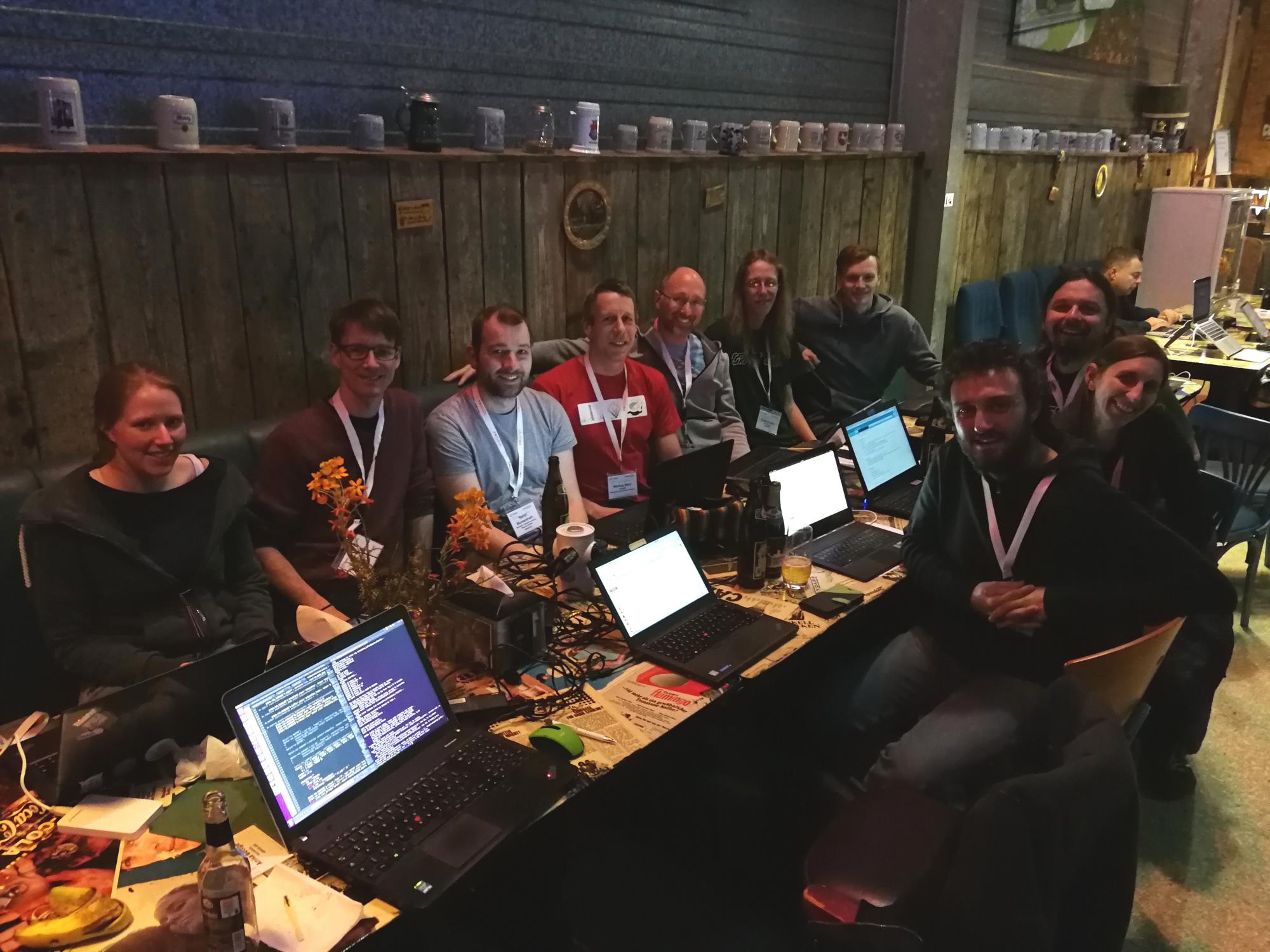
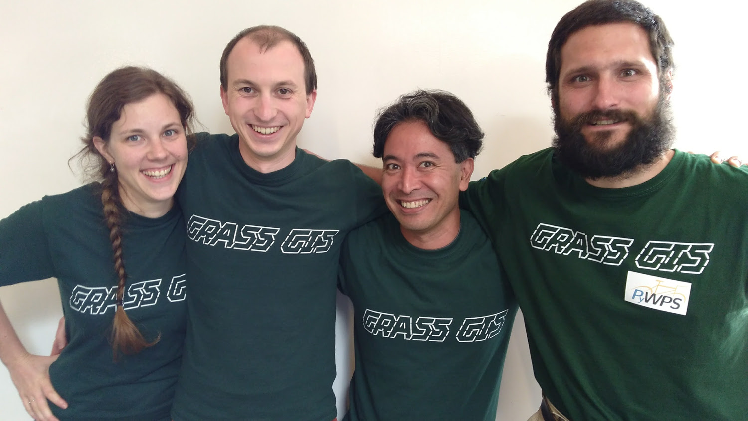
| 19:46, 19 August 2017 | GRASS GIS sprint FOSS4G 2017.jpg (file) |  |
202 KB | Annakrat | Photo of participants of code sprint during FOSS4G 2017 | 1 |
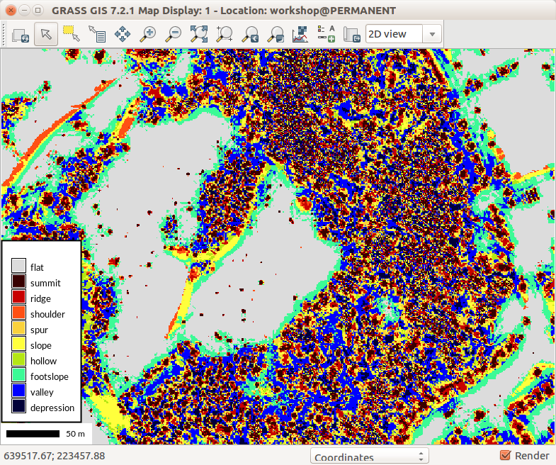
| 02:23, 15 August 2017 | R geomorphon lidar dsm trees.png (file) |  |
297 KB | ⚠️Wenzeslaus | Threes from DSM using r.geomorphon | 1 |
| 02:20, 15 August 2017 | R geomorphon lidar dsm vegetation details.png (file) |  |
174 KB | ⚠️Wenzeslaus | r.geomorphon showing details of vegetation structure | 1 |
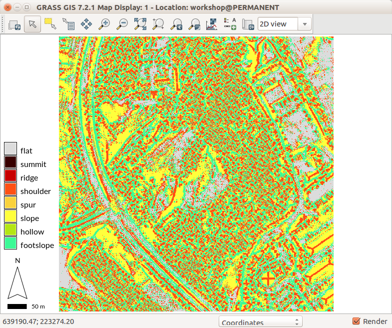
| 02:17, 15 August 2017 | R geomorphon lidar dsm vegetation.png (file) |  |
103 KB | ⚠️Wenzeslaus | r.geomorphon setting showing vegetation | 1 |
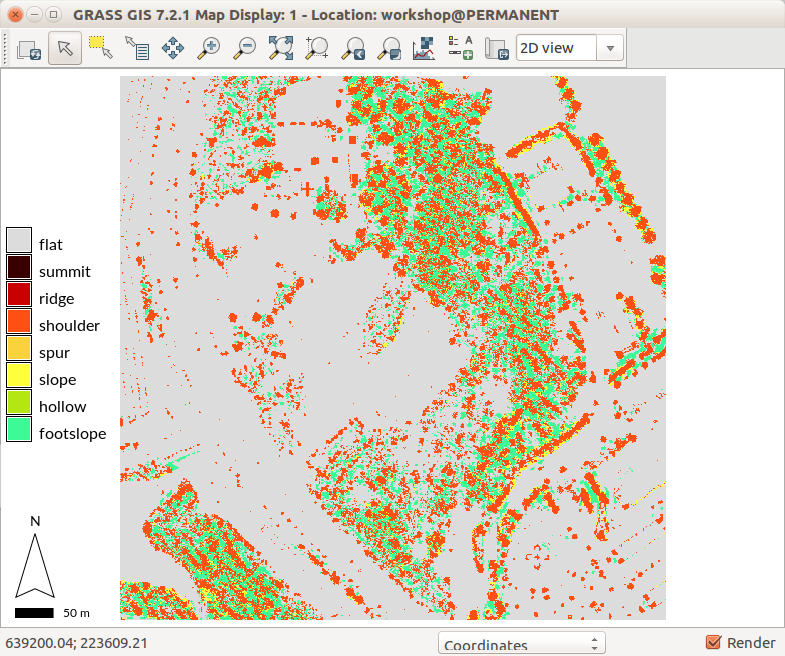
| 02:17, 15 August 2017 | R geomorphon lidar dsm roofs.png (file) |  |
160 KB | ⚠️Wenzeslaus | r.geomorphon settings showing building roof shapes | 1 |
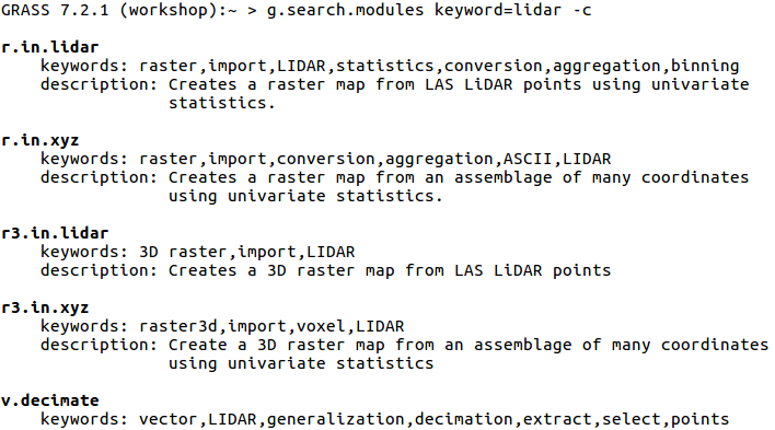
| 02:30, 8 August 2017 | G search modules with c flag.png (file) |  |
50 KB | ⚠️Wenzeslaus | {{cmd|g.search.modules}} keyword=lidar -c Searches through descriptions and keywords. Displays using color. | 1 |
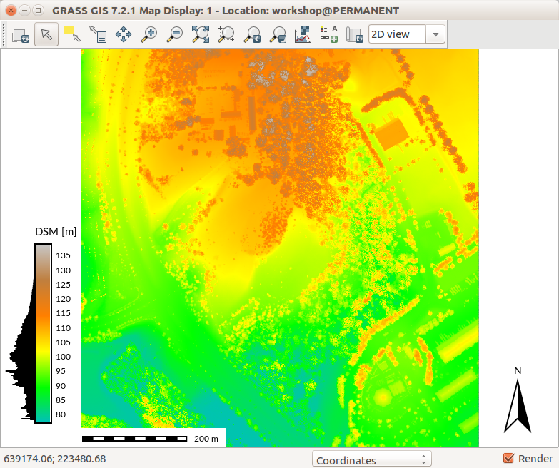
| 21:54, 6 August 2017 | Map Display with DSM and legend with histogram.png (file) |  |
380 KB | ⚠️Wenzeslaus | GRASS GIS 7.2 wxGUI Map Display with DSM, legend with histogram, scale bar and north arrow | 1 |
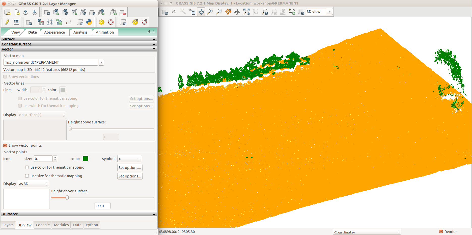
| 04:09, 6 August 2017 | Selection 409.png (file) |  |
115 KB | ⚠️Wenzeslaus | GRASS GIS 7.2 3D view in wxGUI, 3D view tab, View tab, group point cloud (orange), non-ground point cloud (green), detail (trees) | 1 |
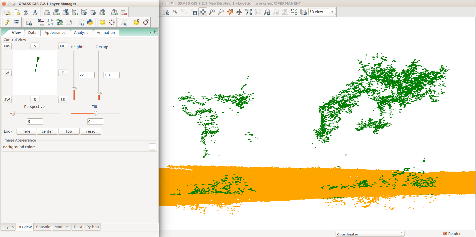
| 04:09, 6 August 2017 | WxGUI nviz with point cloud ground and non-ground data tab.png (file) |  |
162 KB | ⚠️Wenzeslaus | GRASS GIS 7.2 3D view in wxGUI, 3D view tab, Data tab, group point cloud (orange), non-ground point cloud (green), all points | 1 |
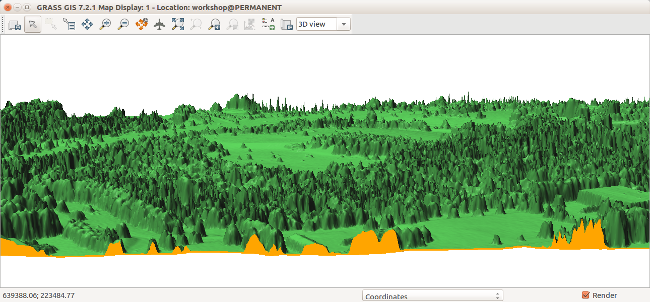
| 03:03, 6 August 2017 | Nviz cutting plane dem dsm.png (file) |  |
553 KB | ⚠️Wenzeslaus | GRASS GIS 7.2, 3D view in wxGUI, Map Display, cutting plane for DEM (terrain, orange color) and DSM (trees, buildings, green color) surfaces. | 1 |
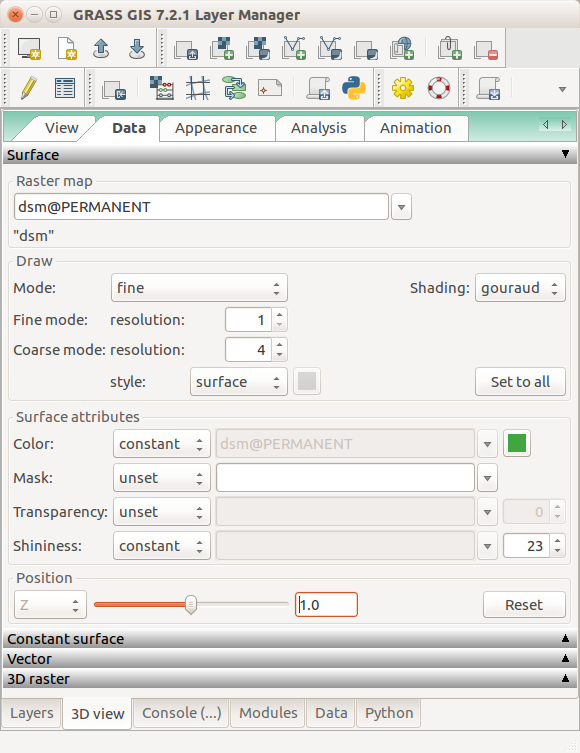
| 02:47, 6 August 2017 | Nviz data tab dsm set relative positon.png (file) |  |
82 KB | ⚠️Wenzeslaus | GRASS GIS 7.2 3D view in wxGUI, 3D view tab, Data tab, Surface | 1 |
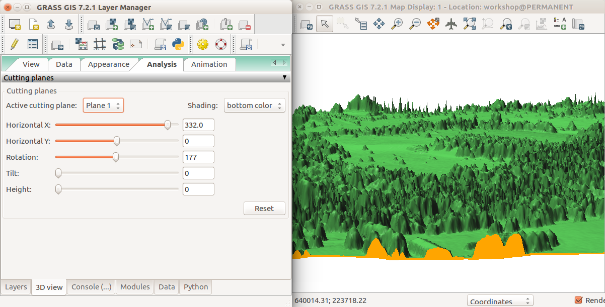
| 02:47, 6 August 2017 | Nviz cutting plane analysis tab.png (file) |  |
361 KB | ⚠️Wenzeslaus | GRASS GIS 7.2 3D view in wxGUI, 3D view tab, Analysis tab, Controlling cutting plane | 1 |
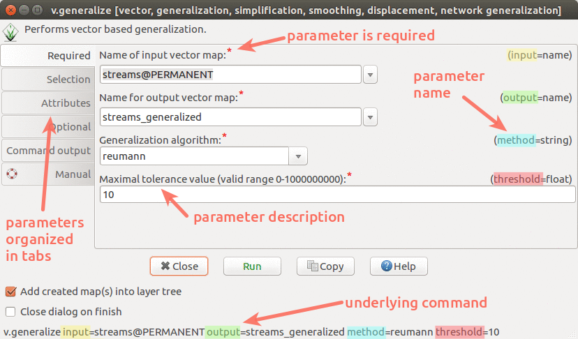
| 22:48, 1 August 2017 | Wxgui module parameters v generalize.png (file) |  |
171 KB | Annakrat | wxGUI dialog/form for v.generalize with descriptions and highlights | 1 |
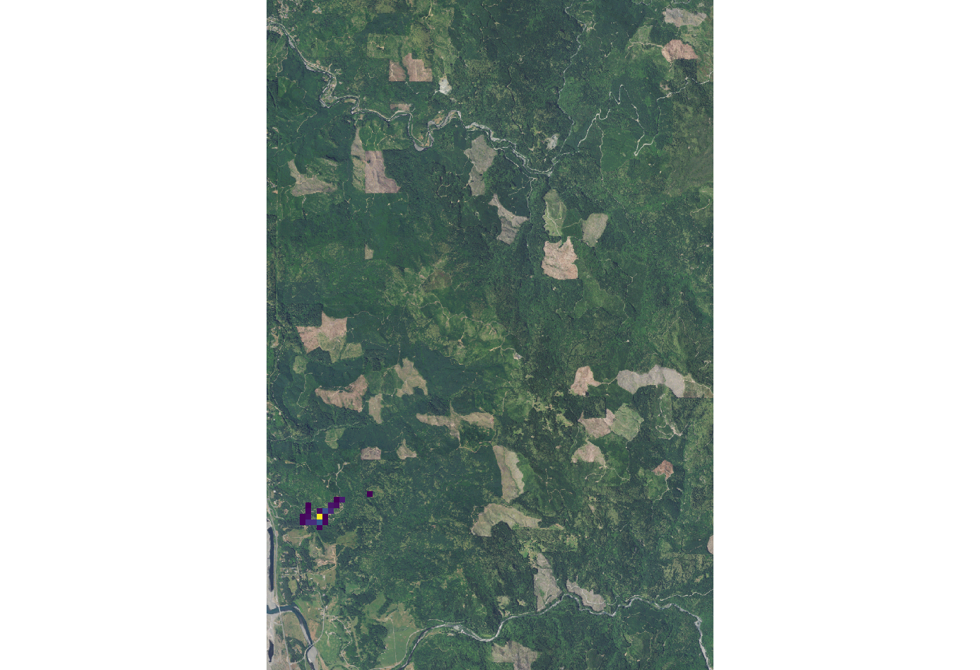
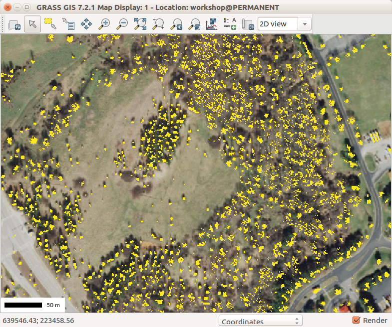
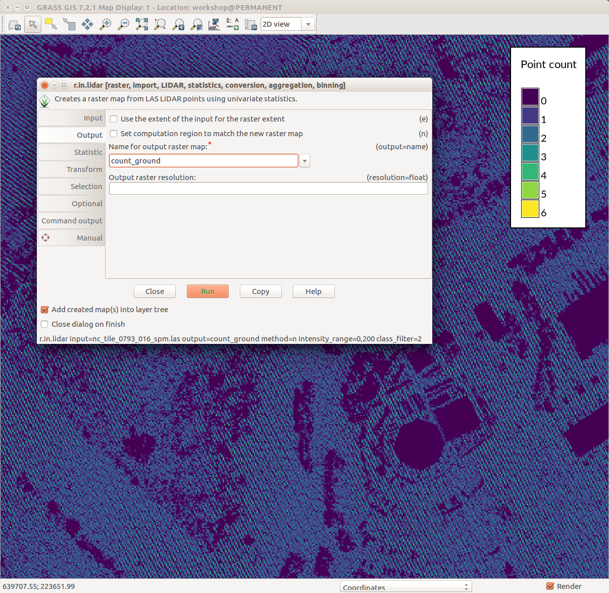
| 19:16, 1 August 2017 | Counting ground points per cell with r.in.lidar.png (file) |  |
231 KB | ⚠️Wenzeslaus | GRASS GIS 7.2 wxGUI Map Display, legend with d.legend, r.in.lidar dialog, ground point density pattern in the background | 1 |
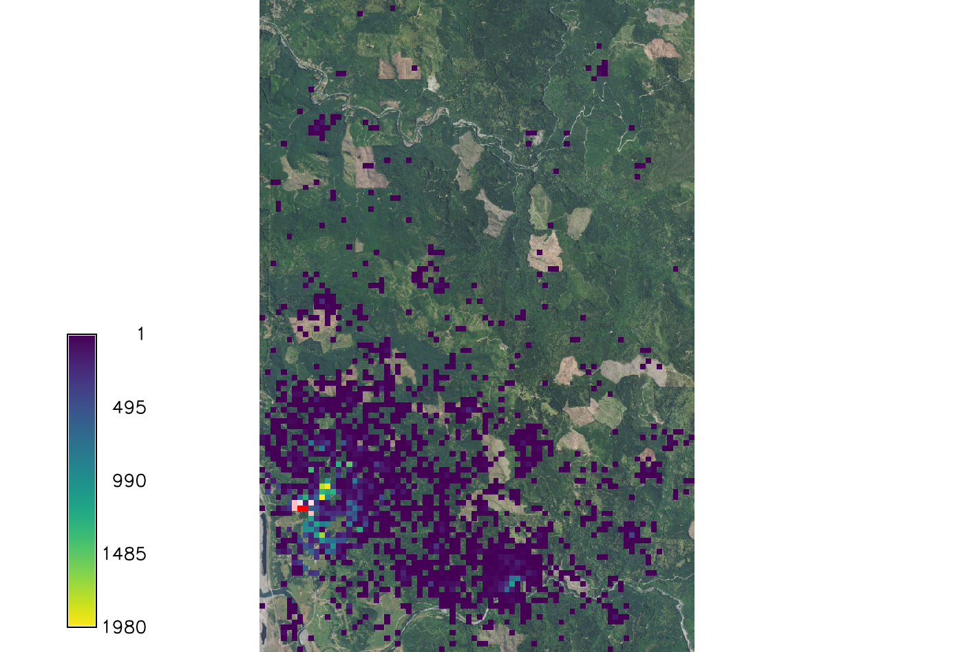
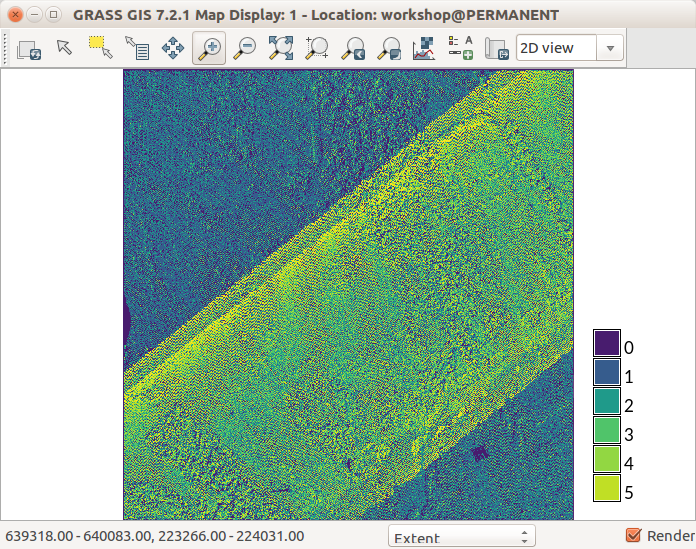
| 13:37, 1 August 2017 | Lidar point density with fine resolution showing swath overlap.png (file) |  |
246 KB | ⚠️Wenzeslaus | r.in.lidar with method=n using fine resolution GRASS GIS 7.2 Map Display | 1 |
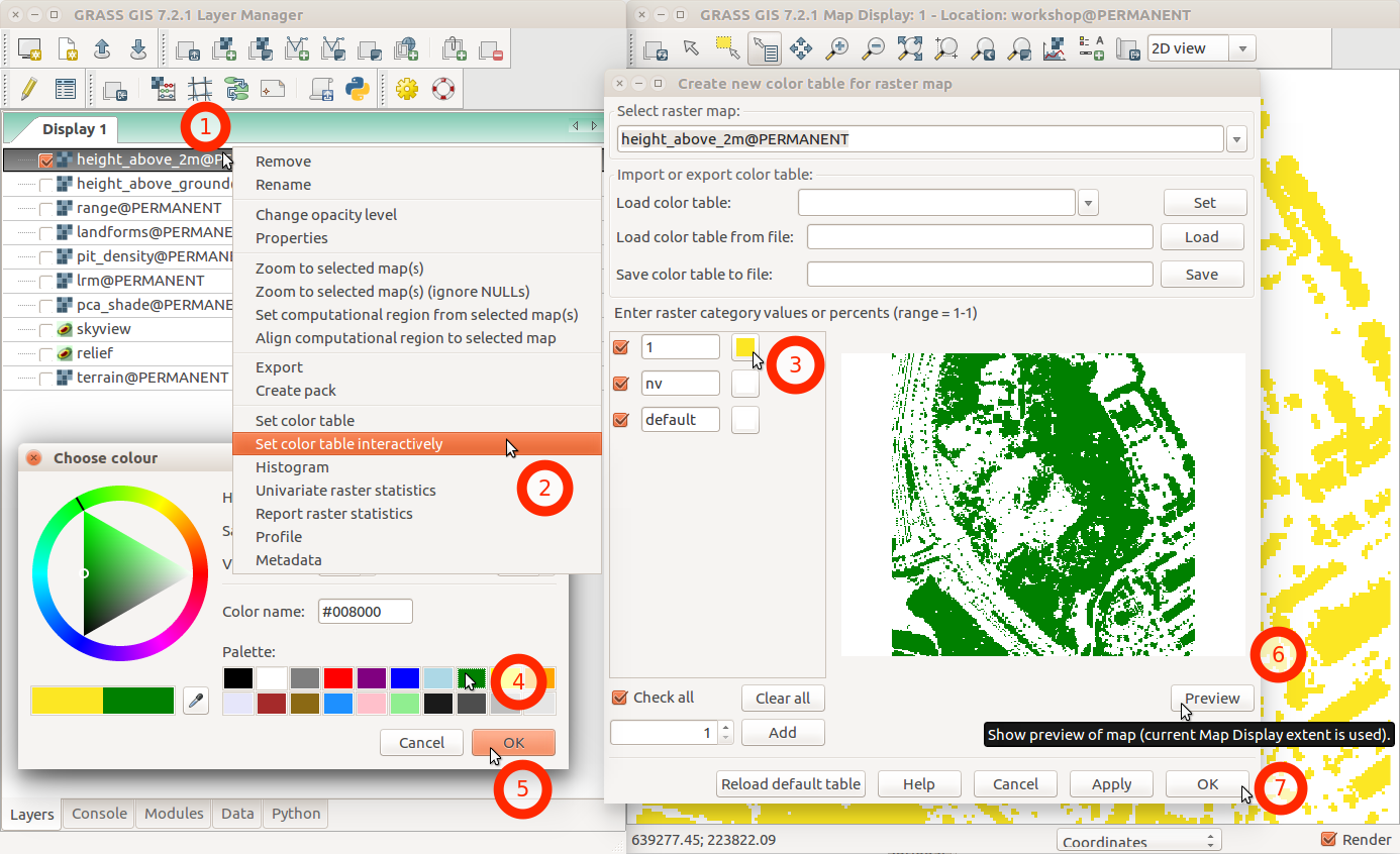
| 02:46, 1 August 2017 | Change color table interactively with menu and labels.png (file) |  |
231 KB | ⚠️Wenzeslaus | GRASS GIS 7.2 wxGUI dialog ''Create new color table for raster map'' started from layer context menu using ''Set color table interactively'' | 1 |
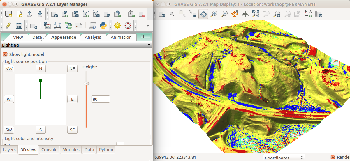
| 02:20, 1 August 2017 | Geomorphons in 3D view Appearance tab.png (file) |  |
535 KB | ⚠️Wenzeslaus | GRASS GIS 7.2 wxGUI NVIZ Appearance tab to change the light source position | 1 |
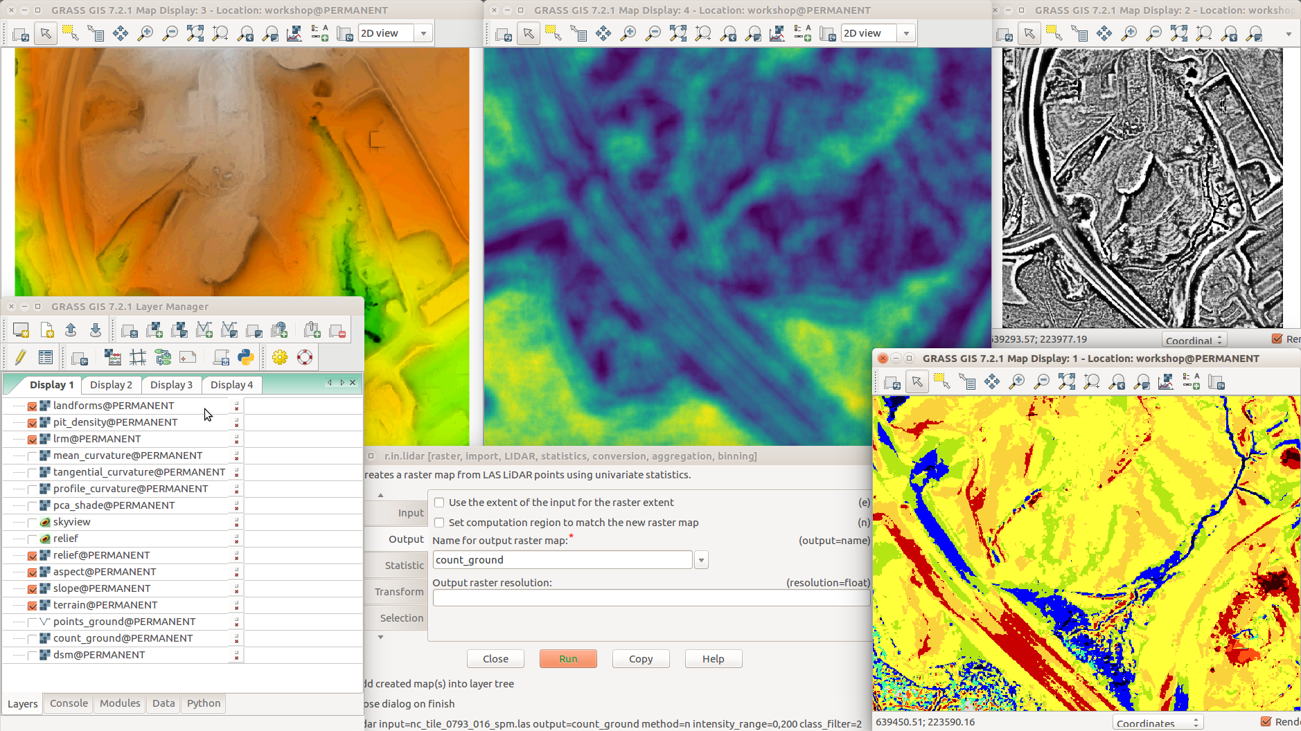
| 02:05, 1 August 2017 | Different terrain analyses and visualizations in multiple Map Displays.png (file) |  |
1,014 KB | ⚠️Wenzeslaus | GRASS GIS 7.2 with various addons r.skyview + d.shade (top left) r.terrain.texture (pit density, top middle) r.local.relief (LRM, top right) Layer Manager, Layers tab (bottom left) r.in.lidar (dialog, bottom middle) r.geomorphon (landforms, bottom right) | 1 |
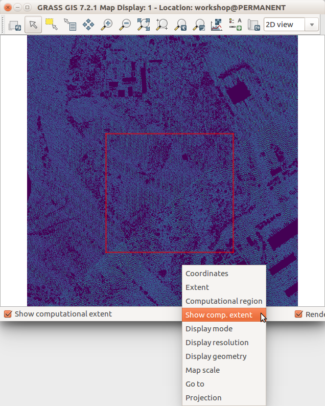
| 01:58, 1 August 2017 | Show computational extent in Map Display.png (file) |  |
239 KB | ⚠️Wenzeslaus | GRASS GIS 7.2 wxGUI Map Display | 1 |
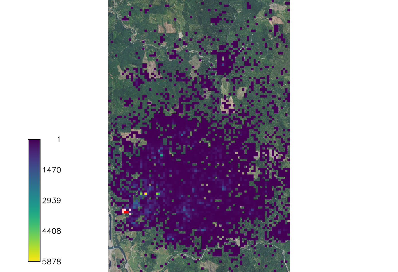
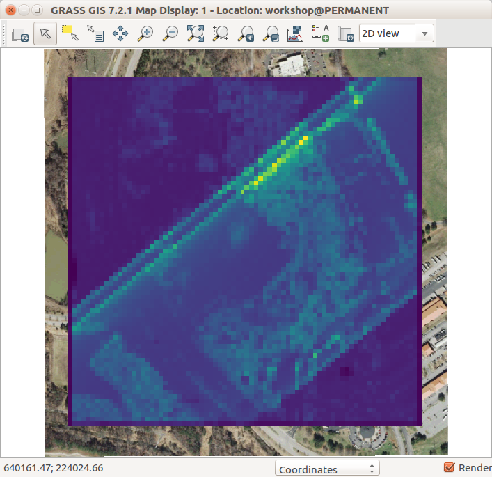
| 01:48, 1 August 2017 | Lidar point density with coarse resolution and ortho in the background.png (file) |  |
143 KB | ⚠️Wenzeslaus | r.in.lidar res=10 -e | 1 |
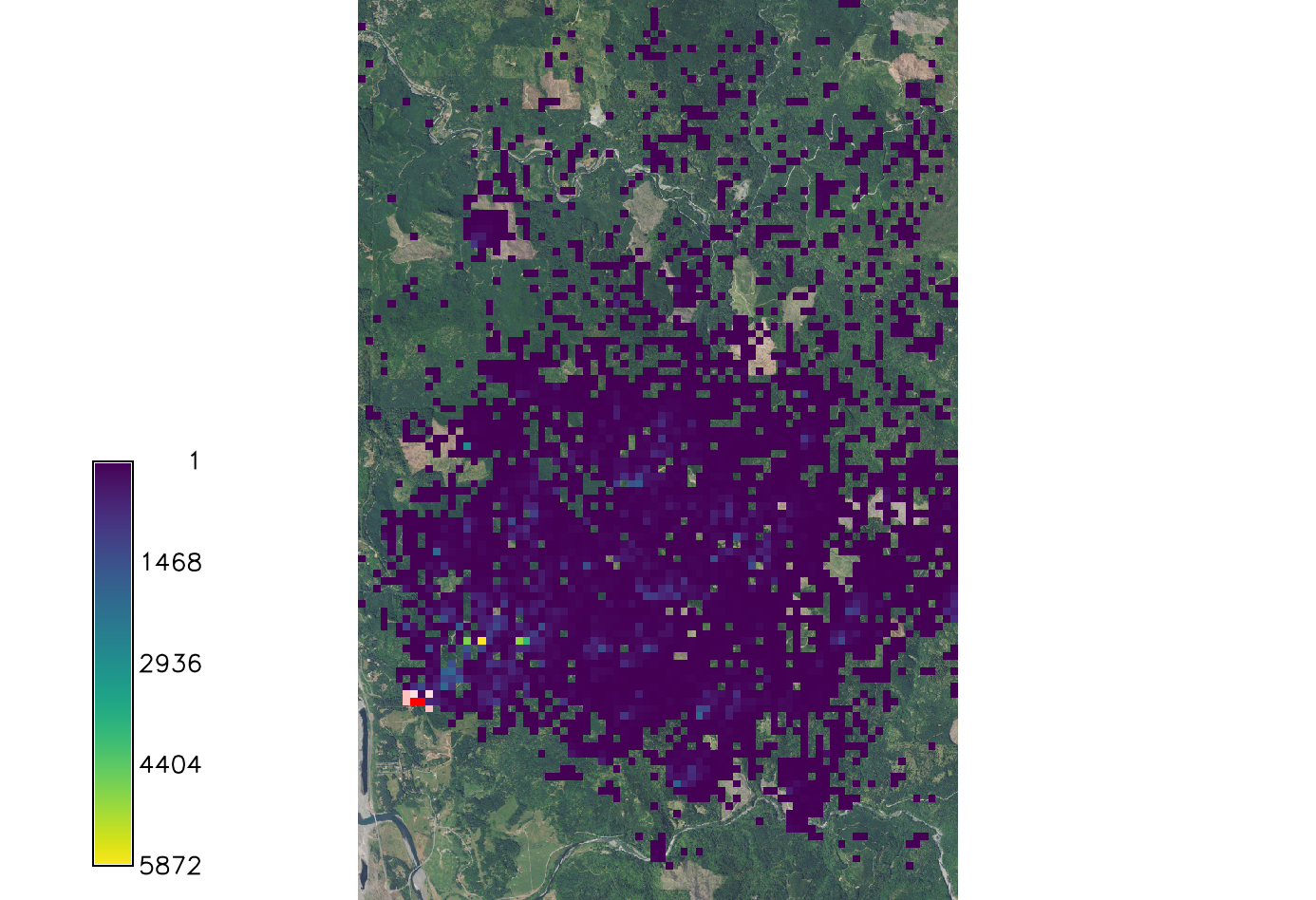
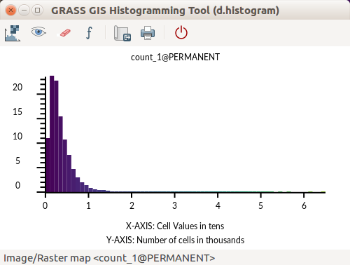
| 01:41, 1 August 2017 | GRASS GIS Histogramming Tool d.histogram - count of point.png (file) |  |
24 KB | ⚠️Wenzeslaus | d.histogram powered histogram in GRASS GIS 7.2 Count of points per cell | 1 |