File list
Jump to navigation
Jump to search
This special page shows all uploaded files.
| Date | Name | Thumbnail | Size | User | Description | Versions |
|---|---|---|---|---|---|---|
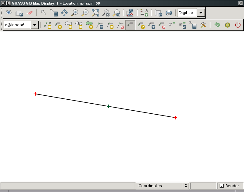
| 09:52, 7 February 2011 | Wxgui-vdigit-split-1.png (file) |  |
28 KB | ⚠️Landa | wxGUI vector digitizer - confirm splitting {{wxGUI}} | 1 |
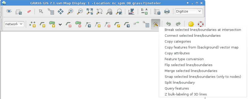
| 08:48, 6 June 2014 | Wxgui-vdigit-toolbar.png (file) |  |
69 KB | Neteler | Updated screenshot | 2 |
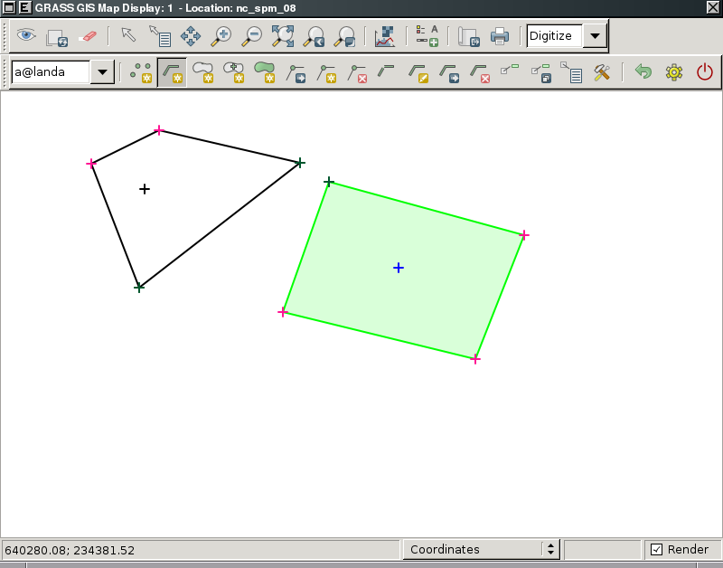
| 12:55, 7 February 2011 | Wxgui-vdigit-type-conv-0.png (file) |  |
39 KB | ⚠️Landa | wxGUI vector digitizer - feature types before conversion {{wxGUI}} | 1 |
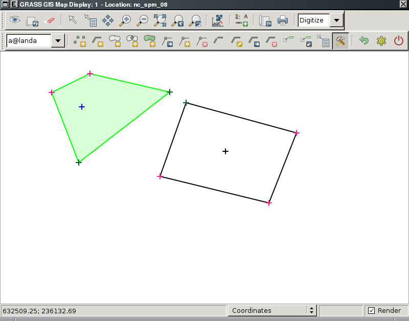
| 12:55, 7 February 2011 | Wxgui-vdigit-type-conv-1.png (file) |  |
39 KB | ⚠️Landa | wxGUI vector digitizer - feature types after conversion {{wxGUI}} | 1 |
| 21:47, 15 March 2008 | Wxgui-vdigit0-gnulinux.png (file) |  |
590 KB | ⚠️Landa | wxPython GUI -- vector digitizer | 1 |
| 21:49, 15 March 2008 | Wxgui-vdigit1-gnulinux.png (file) |  |
590 KB | ⚠️Landa | wxPython GUI - vector digitizer | 1 |
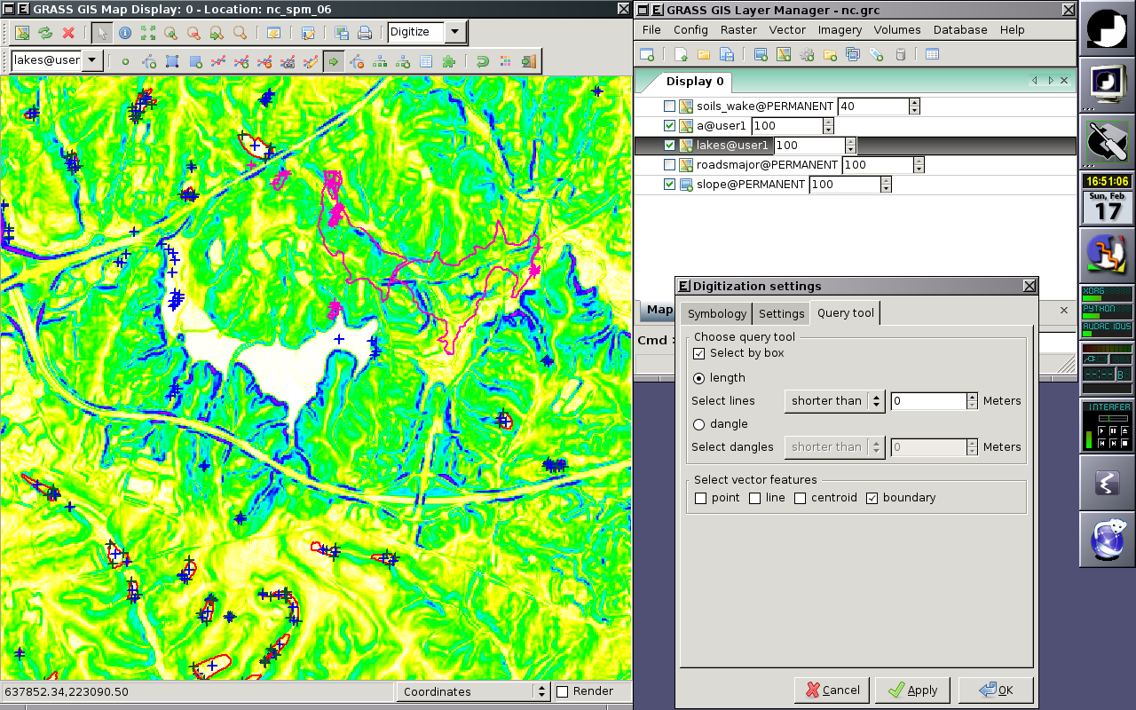
| 18:42, 26 March 2008 | Wxgui-vector-querying-gnulinux.png (file) |  |
105 KB | ⚠️Landa | wxPython GUI -- Querying vector map layers | 1 |
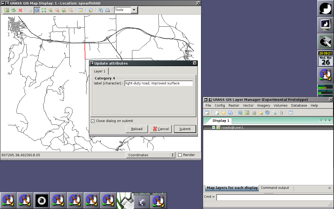
| 21:20, 1 May 2008 | Wxgui-vector-querying-windows.png (file) |  |
491 KB | ⚠️Landa | Querying vector map layer in wxGUI (MS Windows) {{wxGUI}} | 1 |
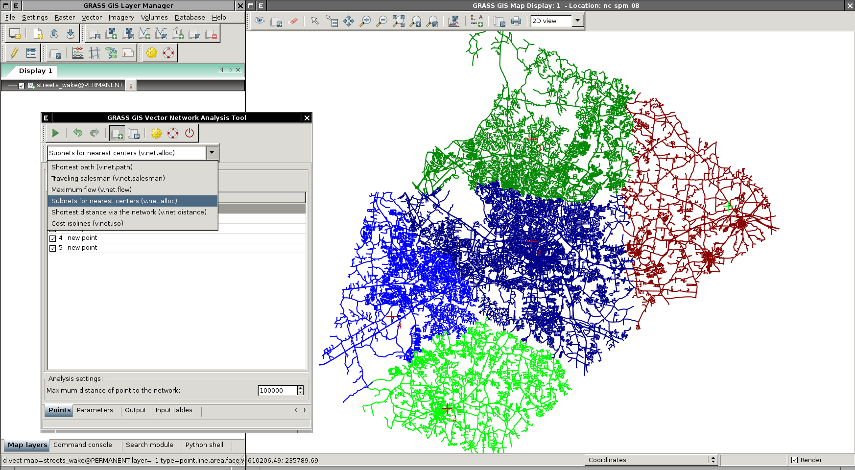
| 20:53, 20 October 2012 | Wxgui-vnet-alloc.png (file) |  |
799 KB | ⚠️Landa | Subsets for nearest centers (v.net.alloc) {{wxGUI}} | 1 |
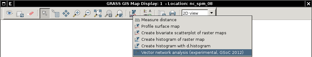
| 09:28, 7 July 2012 | Wxgui-vnet-testing.png (file) | 23 KB | ⚠️Landa | Launch 'Vector network analysis' tool from Map Display Window toolbar {{wxGUI}} | 1 | |
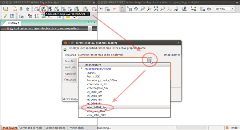
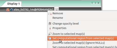
| 02:12, 24 March 2017 | Wxgui add elev lid.png (file) |  |
125 KB | ⚠️Wenzeslaus | Add elev_lid792_1m raster map layer using d.rast dialog from toolbar with arrows | 1 |
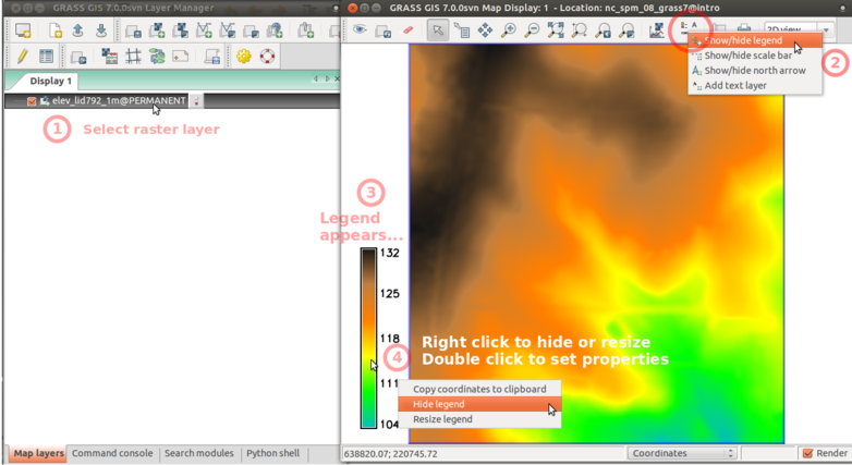
| 02:36, 24 March 2017 | Wxgui add legend elev lid.png (file) |  |
174 KB | ⚠️Wenzeslaus | Add raster legend in wxGUI screenshot with numbers and descriptions | 1 |
| 14:52, 14 February 2015 | Wxgui command line.png (file) |  |
44 KB | Neteler | wxGUI command line | 1 |
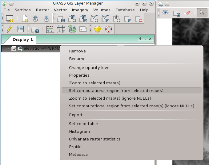
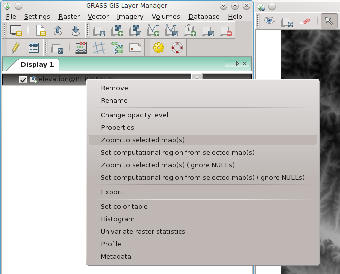
| 13:46, 7 April 2012 | Wxgui computat region to raster.png (file) |  |
80 KB | Neteler | wxGUI: set computational region to selected map (right mouse button context menu on map name) | 1 |
| 13:53, 24 March 2017 | Wxgui computational region set from raster.png (file) |  |
39 KB | ⚠️Wenzeslaus | Setting computational region (extent and resolution) based on a raster in Layer Manager in wxGUI (GRASS GIS 7.0) | 1 |
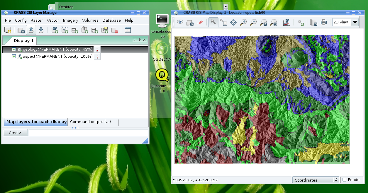
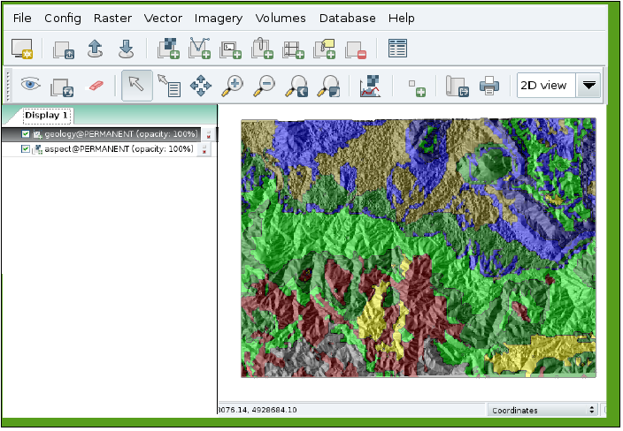
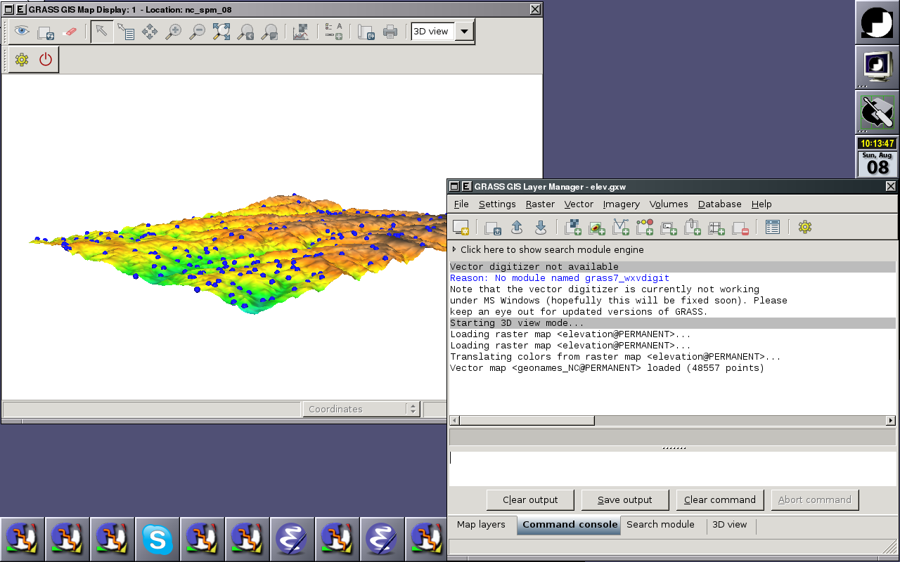
| 18:26, 22 March 2009 | Wxgui current.png (file) |  |
785 KB | Neteler | Current wxGUI (GRASS 6.5.svn) | 1 |
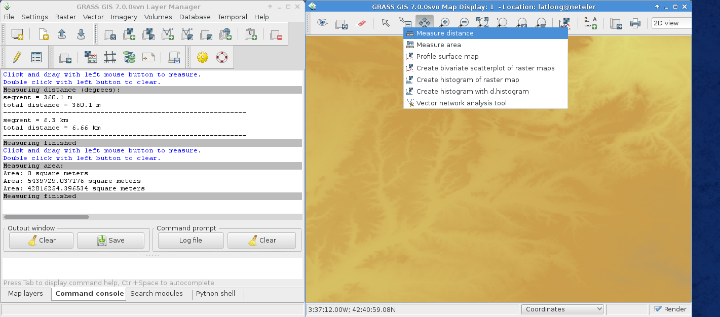
| 20:06, 13 October 2014 | Wxgui map measure tool.png (file) |  |
268 KB | Neteler | wxGUI: Lines and area measurements | 1 |
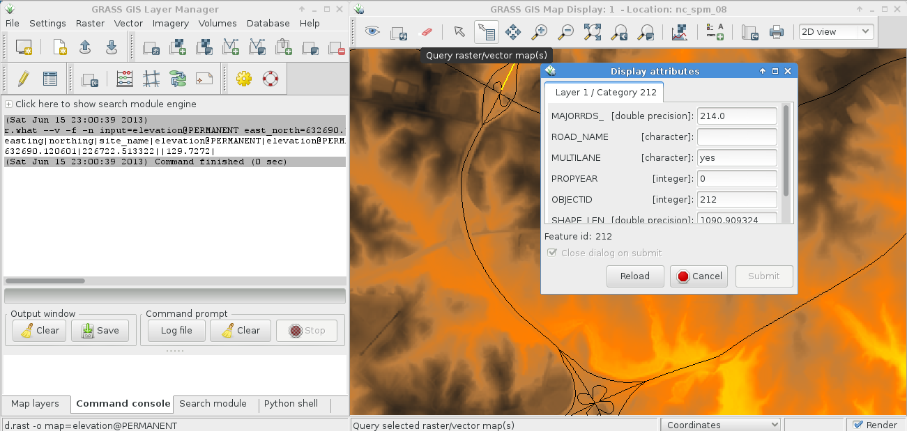
| 21:03, 15 June 2013 | Wxgui map query tool.png (file) |  |
256 KB | Neteler | Raster and vector map query (select map to query in layer manager) | 1 |
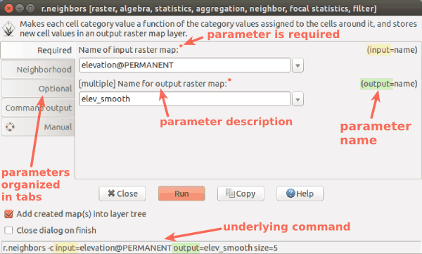
| 03:46, 24 March 2017 | Wxgui module parameters r neighbors.png (file) |  |
25 KB | ⚠️Wenzeslaus | wxGUI dialog/form for r.neighbors with descriptions and highlights | 1 |
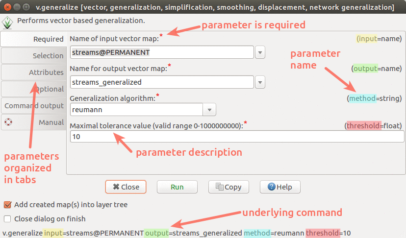
| 22:48, 1 August 2017 | Wxgui module parameters v generalize.png (file) |  |
171 KB | Annakrat | wxGUI dialog/form for v.generalize with descriptions and highlights | 1 |
| 17:56, 22 March 2009 | Wxgui proposal.png (file) |  |
295 KB | Neteler | wxGUI Layout modification proposal | 1 |
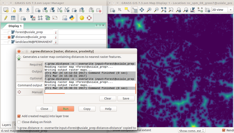
| 19:40, 24 March 2017 | Wxgui r grow distance from forest edge.png (file) |  |
318 KB | ⚠️Wenzeslaus | Screenshot of distance to forest edge computed with r.grow.distance in the wxGUI with Layer Manager, Map Display, and r.grow.distance dialog. r.mapcalc "forest = if(landclass96 == 5, 1, null())" r.grow.distance -n input=forest distance=distance (or... | 1 |
| 13:46, 7 April 2012 | Wxgui zoom to raster.png (file) |  |
90 KB | Neteler | wxGUI: set map display to selected map (right mouse button context menu on map name) | 1 |
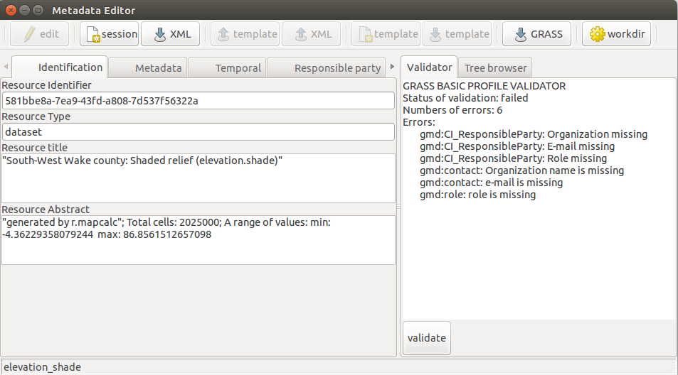
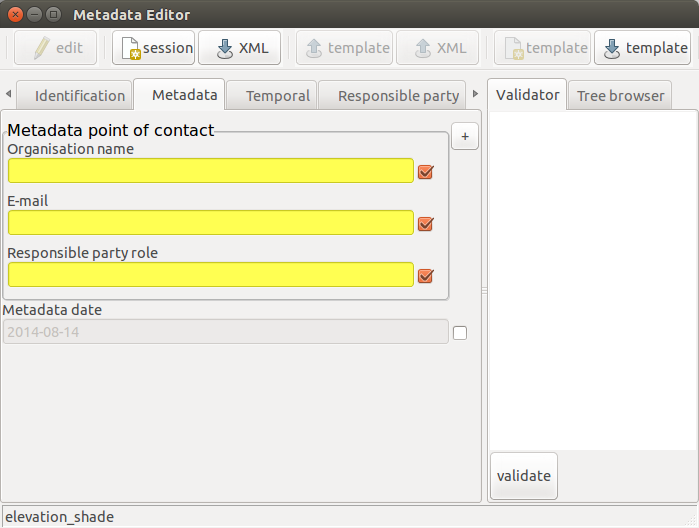
| 20:21, 14 August 2014 | Wxmetadata-editing.png (file) |  |
76 KB | ⚠️Krejcmat | 1 | |
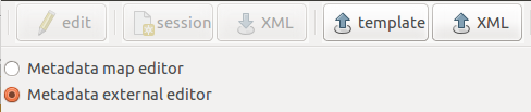
| 19:45, 14 August 2014 | Wxmetadata-externalEdit.png (file) | 14 KB | ⚠️Krejcmat | 1 | ||
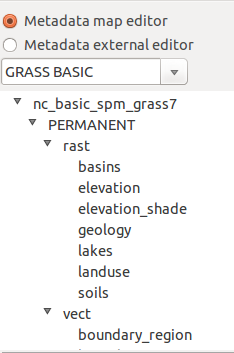
| 19:44, 14 August 2014 | Wxmetadata-mapEdit.png (file) |  |
16 KB | ⚠️Krejcmat | 1 | |
| 20:26, 14 August 2014 | Wxmetadata-template.png (file) |  |
41 KB | ⚠️Krejcmat | 1 | |
| 19:45, 14 August 2014 | Wxmetadata-toolbar.png (file) | 13 KB | ⚠️Krejcmat | 1 | ||
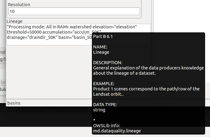
| 14:31, 16 August 2014 | Wxmetadata-tooltip.png (file) |  |
45 KB | ⚠️Krejcmat | 1 | |
| 19:45, 27 June 2008 | Wxnviz-alpha-0.png (file) |  |
275 KB | ⚠️Landa | First prototype of wxNviz (alpha) -- load raster map from layer tree {{wxGUI}} | 1 |
| 04:57, 5 July 2008 | Wxnviz-alpha-1.png (file) |  |
388 KB | ⚠️Landa | Display raster and vector (2D lines) data {{wxGUI}} | 1 |
| 18:08, 26 July 2008 | Wxnviz-alpha-2.png (file) |  |
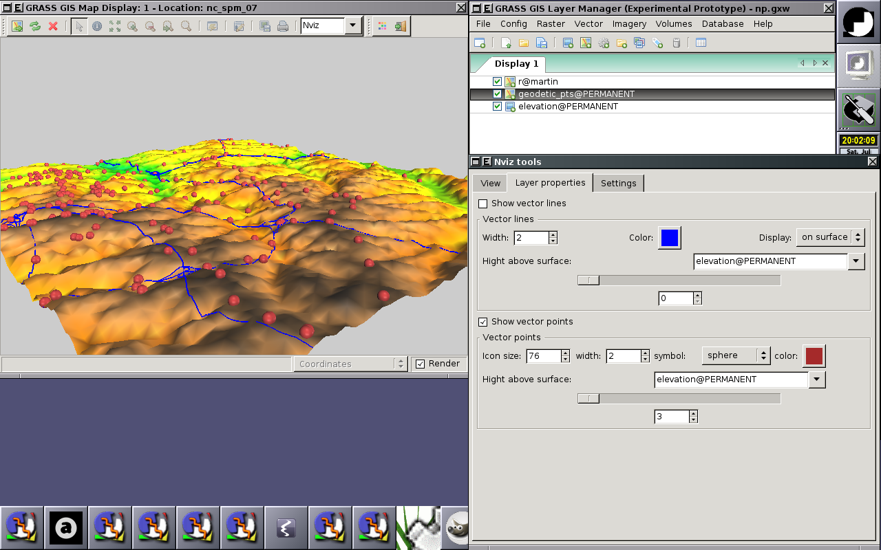
320 KB | ⚠️Landa | Experimental wxGUI Nviz extension - support from vector point data {{wxGUI}} | 1 |
| 12:32, 2 August 2008 | Wxnviz-alpha-3.png (file) |  |
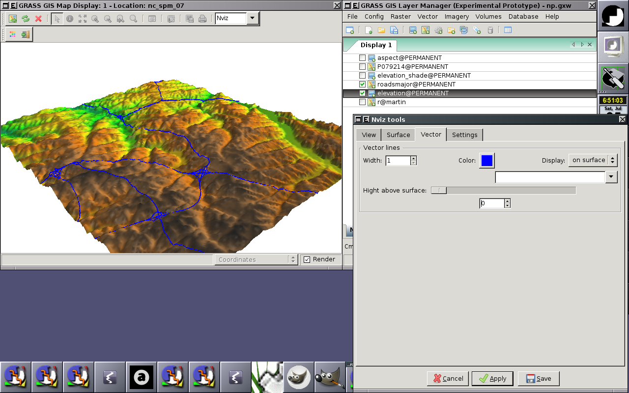
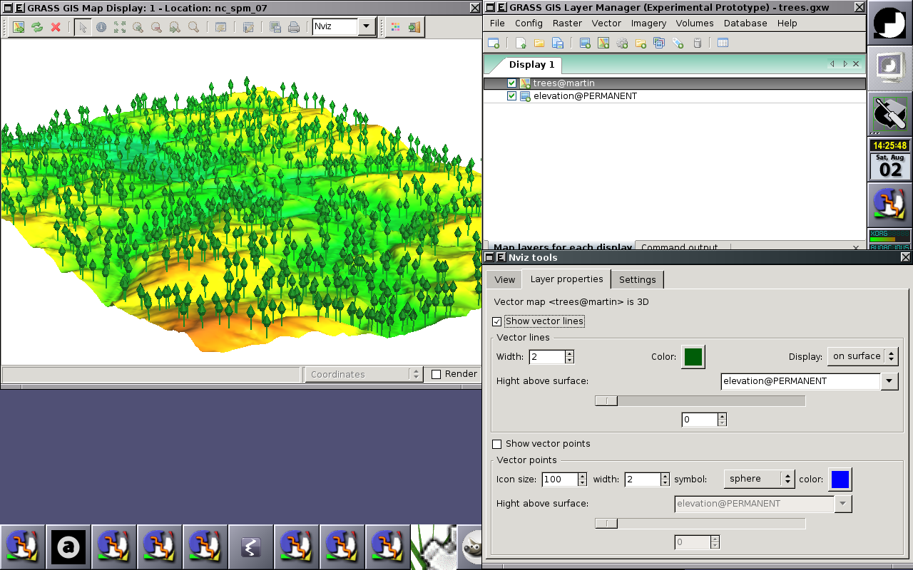
365 KB | ⚠️Landa | wxGUI Nviz extension - 3d vector data visualization {{wxGUI}} | 1 |
| 21:17, 9 August 2008 | Wxnviz-alpha-4.png (file) |  |
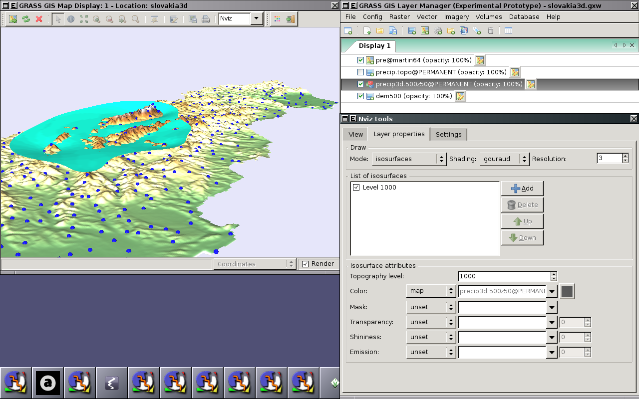
341 KB | ⚠️Landa | wxGUI Nviz extension - 3d raster data (isosurfaces) visualization {{wxGUI}} | 1 |
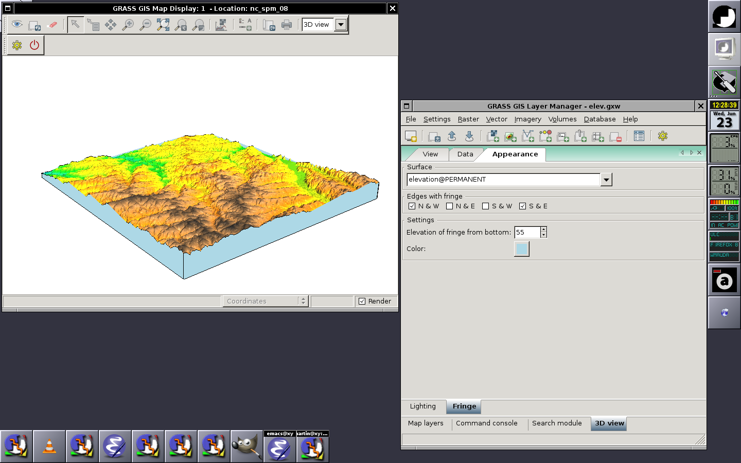
| 10:34, 23 June 2010 | Wxnviz-fringe.png (file) |  |
271 KB | ⚠️Landa | Fringe control panel in Layer Manager (2010-06-23) {{wxGUI}} | 1 |
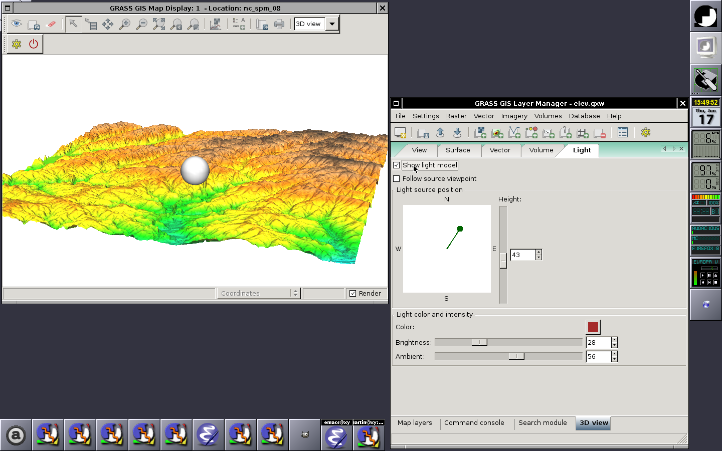
| 13:56, 17 June 2010 | Wxnviz-light.png (file) |  |
467 KB | ⚠️Landa | 3D view lighting control panel in Layer Manager (2010-06-17) {{wxGUI}} | 1 |
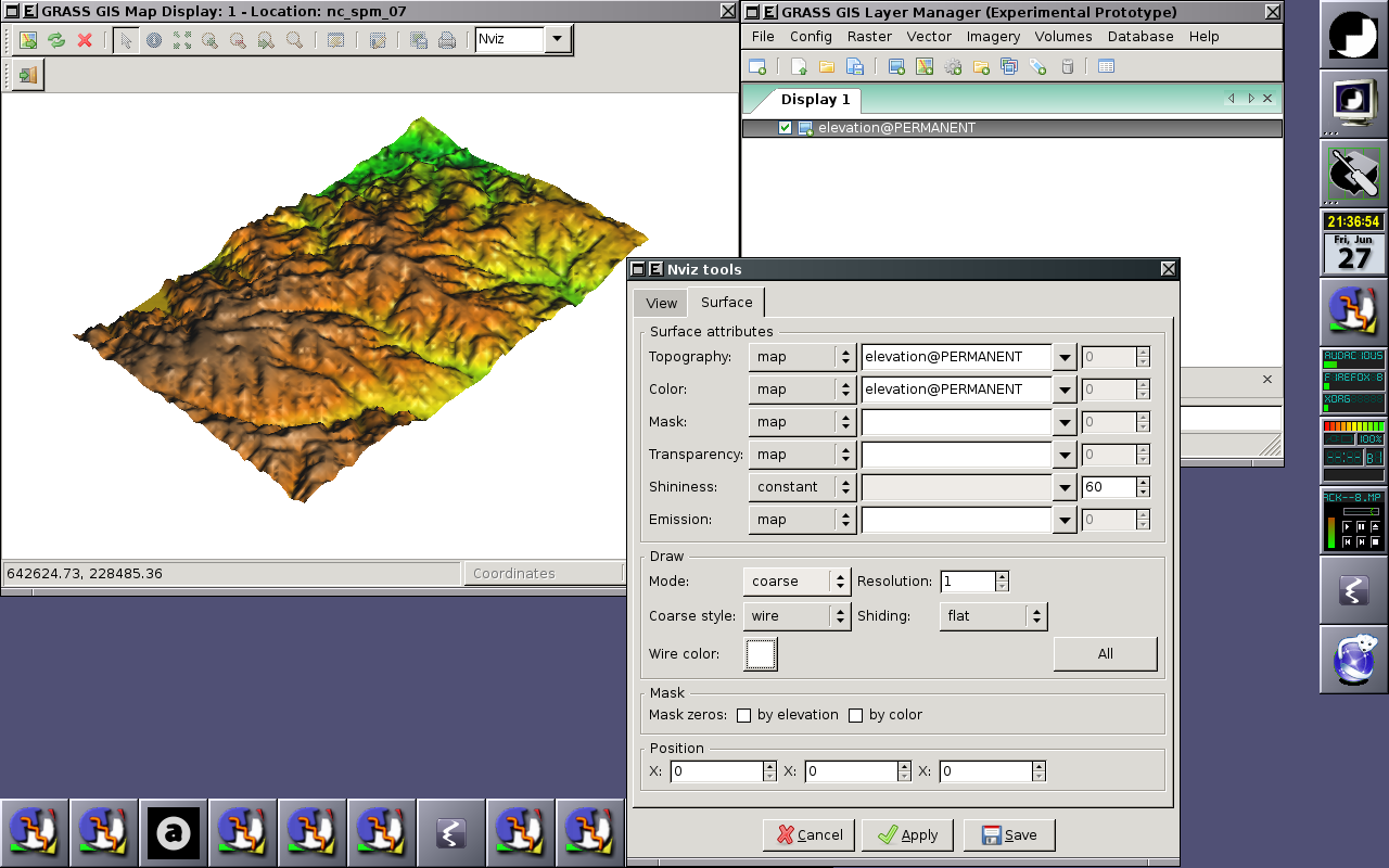
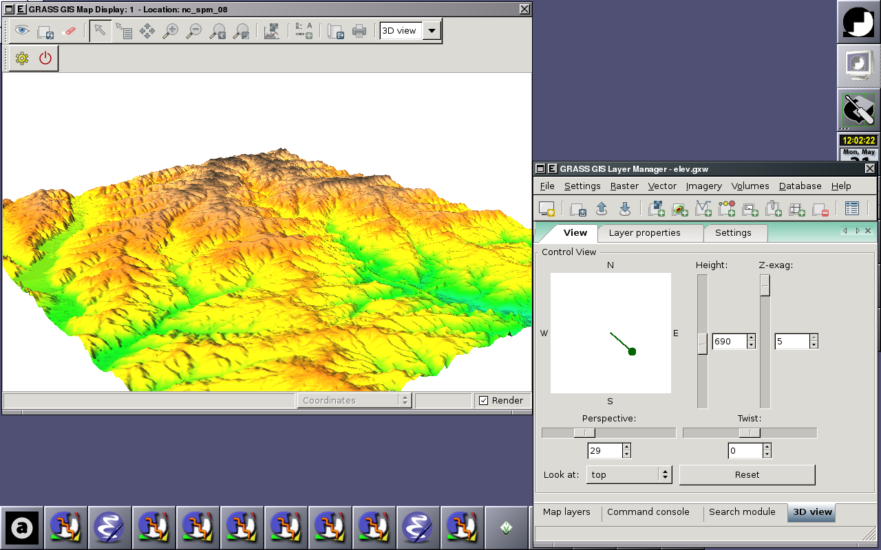
| 10:04, 31 May 2010 | Wxnviz-lmgr.png (file) |  |
439 KB | ⚠️Landa | Integrated 3D view tools window (2010-05-31) {{wxGUI}} | 1 |
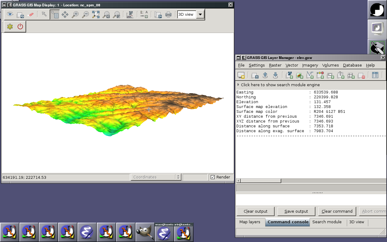
| 14:25, 1 July 2010 | Wxnviz-raster-querying.png (file) |  |
221 KB | ⚠️Landa | Raster querying (2010-07-01) {{wxGUI}} | 1 |
| 08:19, 8 August 2010 | Wxnviz-redirect.png (file) |  |
196 KB | ⚠️Landa | wxNviz: Redirect messages to wxGUI (2010-08-08) {{wxGUI}} | 1 |
| 09:22, 12 August 2010 | Wxnviz-toolbar.jpg (file) | 5 KB | ⚠️Landa | 3D view toolbar (the new icons designed by Robert Szczepanek) {{wxGUI}} | 1 | |
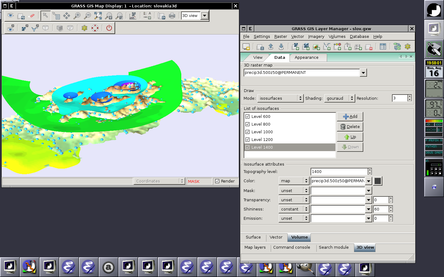
| 18:04, 16 August 2010 | Wxnviz-volumes.png (file) |  |
259 KB | ⚠️Landa | Displaying raster (surface), 2D vector and 3D raster (volume) in the 3D space (2010-08-16) {{wxGUI}} | 1 |
| 15:31, 28 March 2011 | Wxpsmap-draft.png (file) |  |
43 KB | ⚠️Landa | wx.psmap - draft mode {{wxGUI}} | 1 |
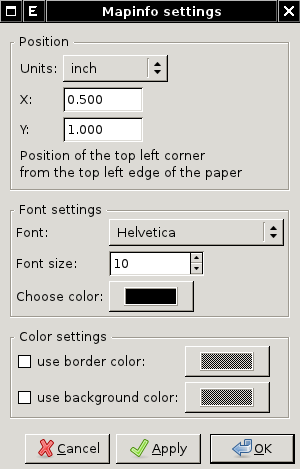
| 23:04, 28 March 2011 | Wxpsmap-mapinfo.png (file) |  |
17 KB | ⚠️Landa | wx.psmap - mapinfo dialog {{wxGUI}} | 1 |
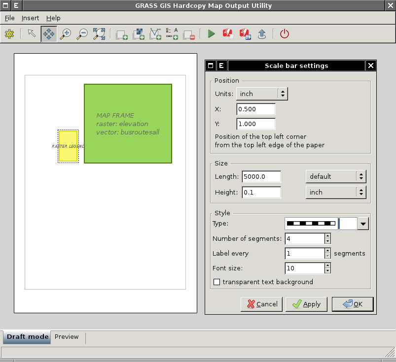
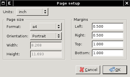
| 23:03, 28 March 2011 | Wxpsmap-page-setup.png (file) |  |
14 KB | ⚠️Landa | wx.psmap - page setup dialog {{wxGUI}} | 1 |
| 03:19, 30 March 2012 | X Win7 taskbar.png (file) | 8 KB | ⚠️HamishBowman | cygwin X-server example | 1 | |
| 15:10, 12 August 2006 | Zaboj.png (file) |  |
32 KB | ⚠️Jachym | Zaboj Hrazsky | 1 |
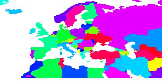
| 09:45, 5 September 2012 | Zones for zonal statistics.jpg (file) |  |
23 KB | Neteler | Countries as zones for zonal statistics | 1 |
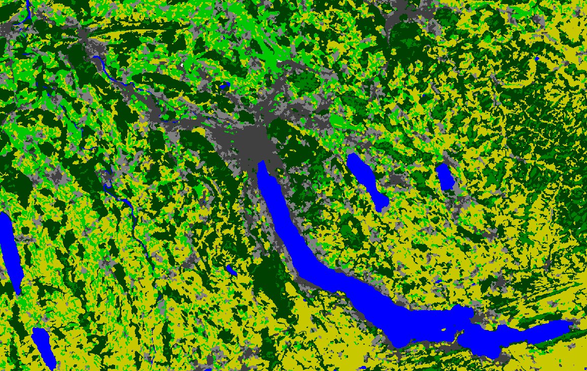
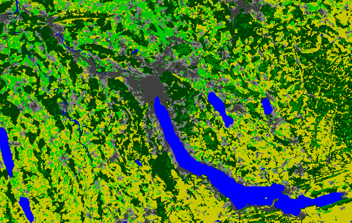
| 22:59, 24 December 2010 | Zurich.jpg (file) |  |
461 KB | ⚠️Jholden | A capture of a land cover map generated using LANDSAT data, r.mapcalc and r.neighbors (to ease conversion into vector format) for Zürich, Switzerland, using GRASS 6.4.0. | 1 |
| 23:00, 24 December 2010 | Zurich.png (file) |  |
189 KB | ⚠️Jholden | A capture of a land cover map generated using LANDSAT data, r.mapcalc and r.neighbors (to ease conversion into vector format) for Zürich, Switzerland, using GRASS 6.4.0. | 1 |
| 09:12, 4 June 2023 | Únětický pivovar.jpg (file) |  |
3.91 MB | ⚠️Chaedrich | 1 |