File list
Jump to navigation
Jump to search
This special page shows all uploaded files.
| Date | Name | Thumbnail | Size | User | Description | Versions |
|---|---|---|---|---|---|---|
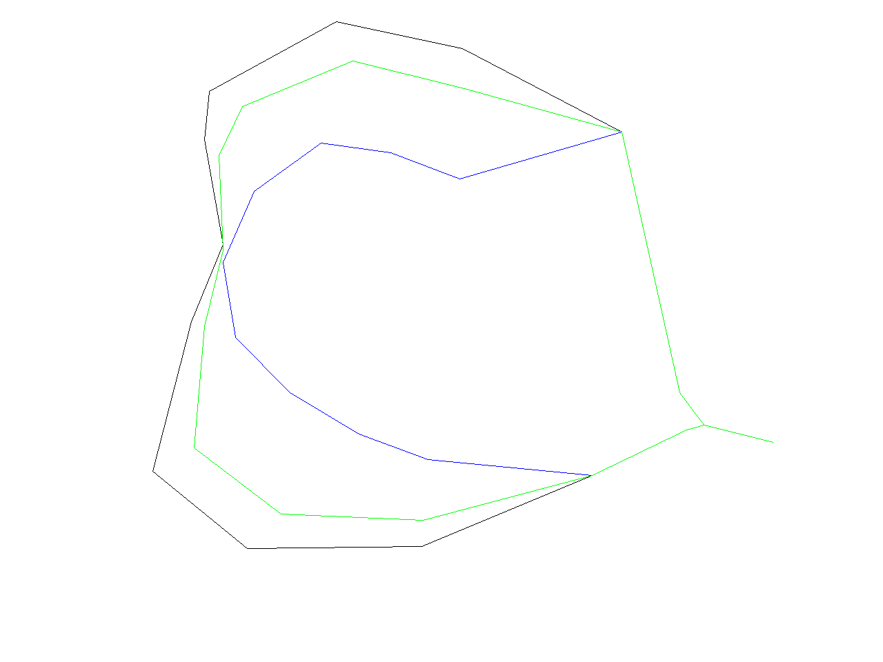
| 07:32, 22 February 2009 | V.generalize.pic14.png (file) |  |
14 KB | ⚠️HamishBowman | for the v.generalize tutorial | 1 |
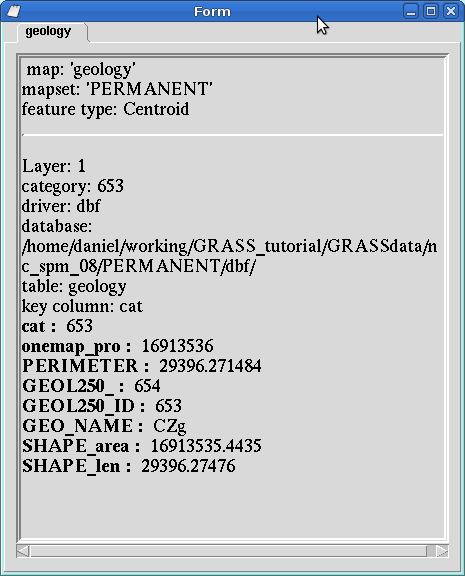
| 21:38, 5 August 2013 | D what vect.png (file) |  |
14 KB | ⚠️Dmci | 1 | |
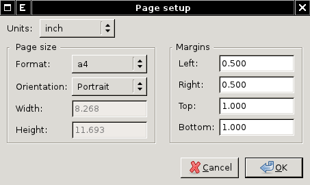
| 23:03, 28 March 2011 | Wxpsmap-page-setup.png (file) |  |
14 KB | ⚠️Landa | wx.psmap - page setup dialog {{wxGUI}} | 1 |
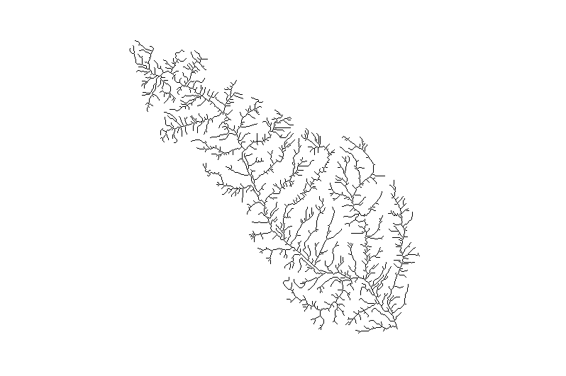
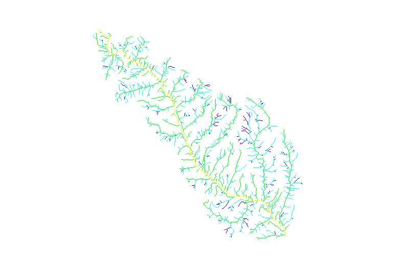
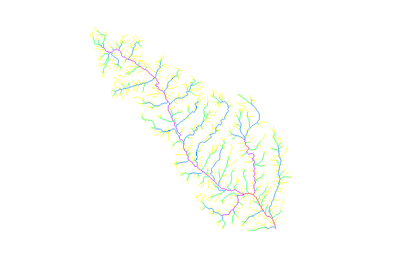
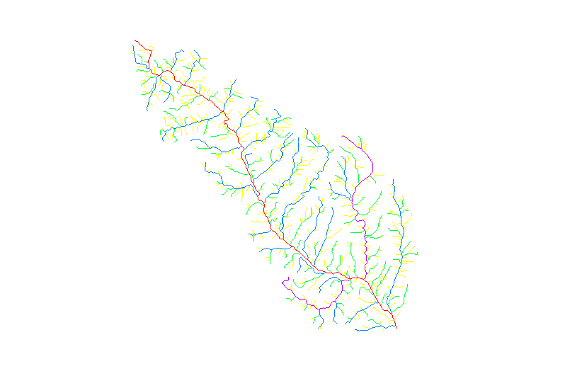
| 14:54, 7 April 2012 | Out elevation network.png (file) |  |
14 KB | ⚠️Madi | Vector map: stream network | 1 |
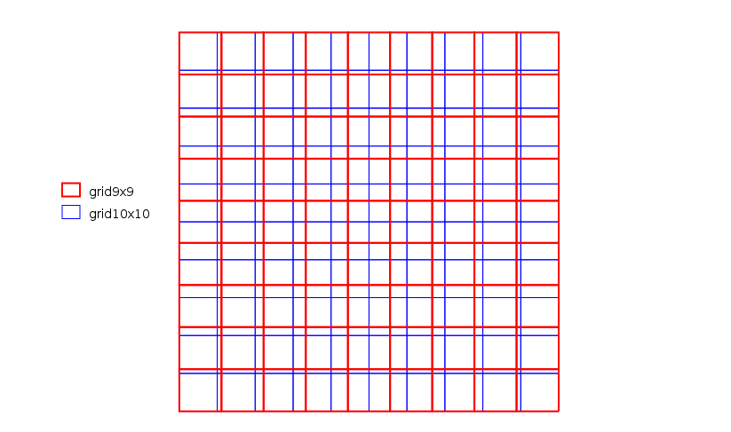
| 08:20, 28 November 2016 | Grid examples.png (file) |  |
14 KB | ⚠️Mlennert | Image showing two different pixel grids 10x10 and 9x9 within the same extent. | 1 |
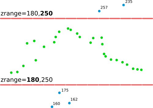
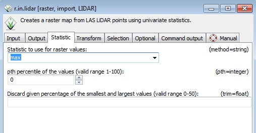
| 15:52, 19 July 2017 | R in lidar explanation of zrange option.png (file) |  |
14 KB | ⚠️Wenzeslaus | Explanation of zrange option applicable to v.in.lidar or r.in.lidar | 1 |
| 23:00, 20 March 2016 | Terrain39.png (file) |  |
14 KB | ⚠️Dnewcomb | 1 | |
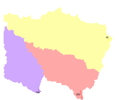
| 14:58, 22 October 2011 | Osm map2d buildings.png (file) |  |
14 KB | Neteler | OSM 2D map, extracted buildings (using OSM tag) | 1 |
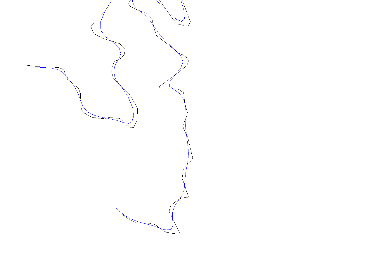
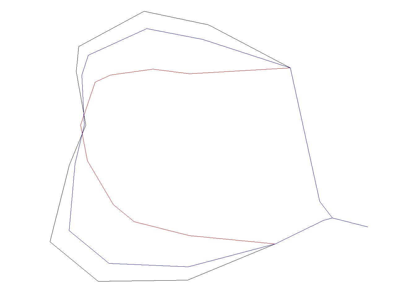
| 07:32, 22 February 2009 | V.generalize.pic12.png (file) |  |
14 KB | ⚠️HamishBowman | for the v.generalize tutorial | 1 |
| 07:32, 22 February 2009 | V.generalize.pic13.png (file) |  |
14 KB | ⚠️HamishBowman | for the v.generalize tutorial | 1 |
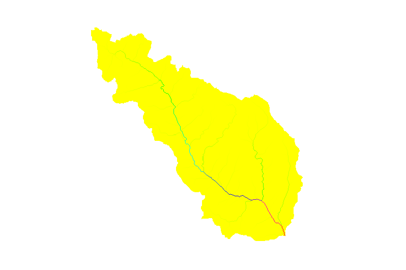
| 11:57, 29 September 2009 | Basin 3.png (file) |  |
14 KB | ⚠️Jarekj 71 | 1 | |
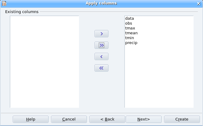
| 14:34, 21 November 2006 | Oo base newtable3 small.png (file) |  |
14 KB | Neteler | 1 | |
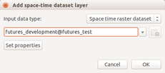
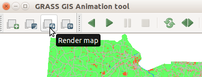
| 17:59, 12 February 2016 | Futures anim animation time series.png (file) |  |
14 KB | ⚠️Wenzeslaus | Animation tool: select time series | 1 |
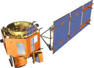
| 06:29, 2 December 2023 | Eo1 satellite.jpg (file) |  |
15 KB | ⚠️Ychemin | 1 | |
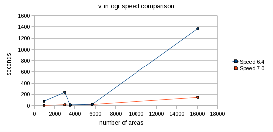
| 10:41, 24 June 2010 | V.in.ogr speed.png (file) |  |
15 KB | ⚠️Mmetz | 1 | |
| 16:54, 9 October 2010 | Ps out rlegend.png (file) |  |
15 KB | ⚠️Ejtizado | 1 | |
| 21:40, 31 July 2013 | Dwhatrast.png (file) |  |
15 KB | ⚠️Dmci | 1 | |
| 13:53, 29 December 2012 | Mediawiki distance between toc and section.png (file) |  |
15 KB | ⚠️NikosA | 1 | |
| 07:31, 22 February 2009 | V.generalize.pic9.png (file) |  |
15 KB | ⚠️HamishBowman | for the v.generalize tutorial | 1 |
| 21:26, 20 March 2016 | Terrain22.png (file) | 15 KB | ⚠️Dnewcomb | 1 | ||
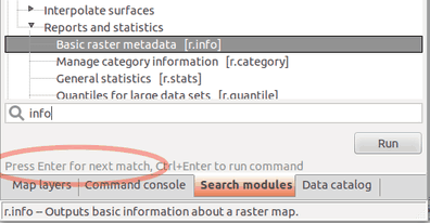
| 02:37, 17 March 2016 | WxGUI module search.png (file) |  |
15 KB | Annakrat | Fulltext module search in wxGUI (searching in module name, description, keywords) | 1 |
| 13:59, 27 March 2014 | Vienna2014 code sprint panorama tiny.jpg (file) | 15 KB | Neteler | See also http://vienna2014.sprint.osgeo.org/2014/03/27/photos.html | 1 | |
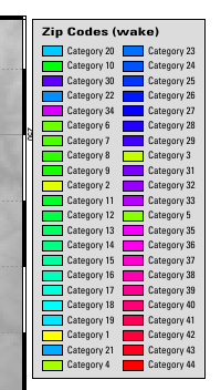
| 09:28, 28 September 2016 | Comparison Paris.png (file) |  |
15 KB | ⚠️Marco.minghini | image resized | 2 |
| 13:27, 11 July 2012 | OSGeo 220pix.png (file) |  |
16 KB | Neteler | Latest logo | 2 |
| 17:45, 17 April 2007 | Alaa5.jpg (file) |  |
16 KB | ⚠️Alaamasoud | 1 | |
| 14:39, 10 March 2010 | R stats elev.png (file) |  |
16 KB | ⚠️HamishBowman | r stats tutorial by Roger Bivand http://r-spatial.sourceforge.net/xtra/xtra.RHnw.html#spgrass6 | 1 |
| 20:29, 20 March 2016 | Terrain17.png (file) |  |
16 KB | ⚠️Dnewcomb | 1 | |
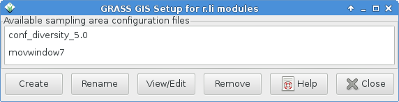
| 15:07, 23 August 2014 | Rlisetup first frame.png (file) | 16 KB | Neteler | Updated to recent version with more buttons | 2 | |
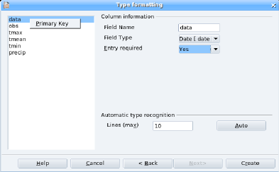
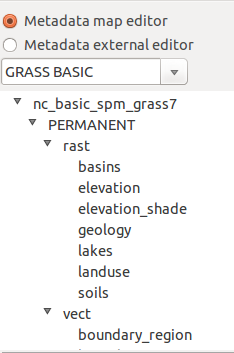
| 19:44, 14 August 2014 | Wxmetadata-mapEdit.png (file) |  |
16 KB | ⚠️Krejcmat | 1 | |
| 14:16, 7 April 2012 | Out elevation hack.png (file) |  |
16 KB | ⚠️Madi | Hack ordered stream network | 1 |
| 14:34, 21 November 2006 | Oo base newtable2.png (file) |  |
16 KB | Neteler | 1 | |
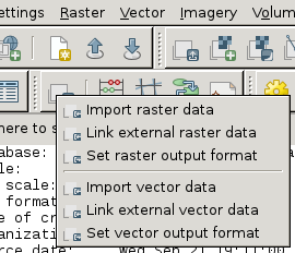
| 17:24, 21 September 2011 | Wxgui-link-tool.png (file) |  |
17 KB | ⚠️Landa | Link external data - Layer Manager toolbar (2) {{wxGUI}} | 1 |
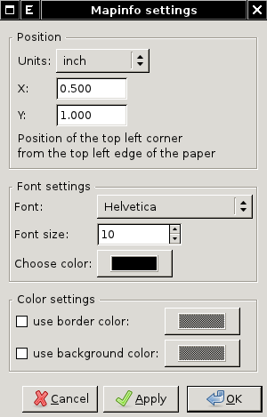
| 23:04, 28 March 2011 | Wxpsmap-mapinfo.png (file) |  |
17 KB | ⚠️Landa | wx.psmap - mapinfo dialog {{wxGUI}} | 1 |
| 03:08, 8 November 2016 | Grasslidar 53.png (file) |  |
17 KB | ⚠️Dnewcomb | 1 | |
| 01:07, 8 November 2016 | Grasslidar 33.png (file) |  |
17 KB | ⚠️Dnewcomb | 1 | |
| 22:09, 20 March 2016 | Terrain29.png (file) |  |
17 KB | ⚠️Dnewcomb | 1 | |
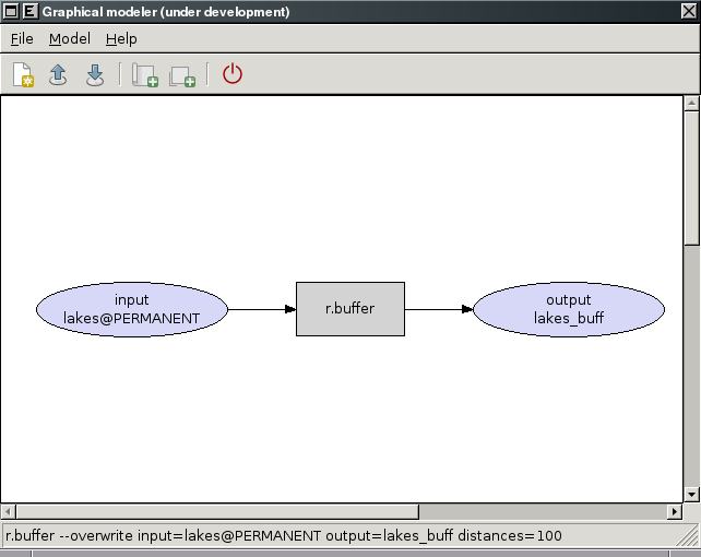
| 17:13, 28 March 2010 | WxGUI-modeler.png (file) |  |
17 KB | ⚠️Landa | Experimental prototype of Graphical Modeler {{wxGUI}} | 1 |
| 13:52, 29 December 2012 | Grasswiki distance between toc and section.png (file) |  |
17 KB | ⚠️NikosA | 1 | |
| 22:37, 8 January 2010 | Object nviz from dxf mesh small.jpg (file) |  |
17 KB | ⚠️HamishBowman | 3d dxf in nviz from Markus | 1 |
| 14:24, 7 April 2012 | Out elevation strahler.png (file) |  |
17 KB | ⚠️Madi | Stream network ordered according to Strahler | 1 |
| 00:55, 8 November 2016 | Grasslidar 32.png (file) |  |
17 KB | ⚠️Dnewcomb | 1 | |
| 07:27, 22 April 2008 | Grass63 georect2 small2.jpg (file) |  |
17 KB | Neteler | screenshot | 1 |
| 14:19, 7 April 2012 | Out elevation horton.png (file) |  |
17 KB | ⚠️Madi | Horton ordered stream network | 1 |
| 14:04, 7 April 2012 | Out elevation accumulation.png (file) |  |
17 KB | ⚠️Madi | Flow accumulation | 1 |
| 01:56, 9 November 2016 | Grasslidar 68.png (file) |  |
18 KB | ⚠️Dnewcomb | 1 | |
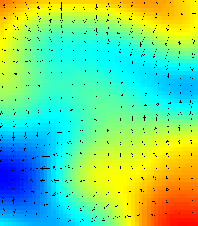
| 03:54, 9 October 2007 | D rast arrow magnitude.png (file) | 18 KB | ⚠️HamishBowman | screenshot of d.rast.arrow in action with dynamic arrow direction and size. Screenshot by Hamish Bowman, licensed with the Creative Commons Attribution ShareAlike 2.5 License. | 1 | |
| 01:11, 9 November 2016 | Grasslidar 57.png (file) |  |
18 KB | ⚠️Dnewcomb | 1 | |
| 22:33, 20 March 2016 | Terrain34.png (file) |  |
18 KB | ⚠️Dnewcomb | 1 | |
| 00:28, 21 March 2016 | Terrain46.png (file) | 18 KB | ⚠️Dnewcomb | 1 | ||
| 18:04, 12 February 2016 | Futures anim render animation.png (file) |  |
19 KB | ⚠️Wenzeslaus | (Re-)render animation in the animation tool | 1 |