Uploads by Neteler
Jump to navigation
Jump to search
This special page shows all uploaded files.
| Date | Name | Thumbnail | Size | Description | Versions |
|---|---|---|---|---|---|
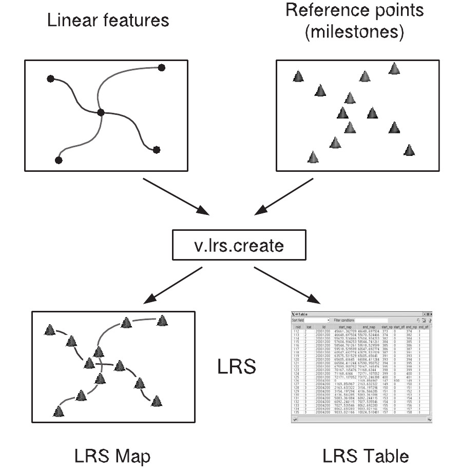
| 09:04, 12 September 2012 | Lrs creation.png (file) |  |
139 KB | Fixed figure | 2 |
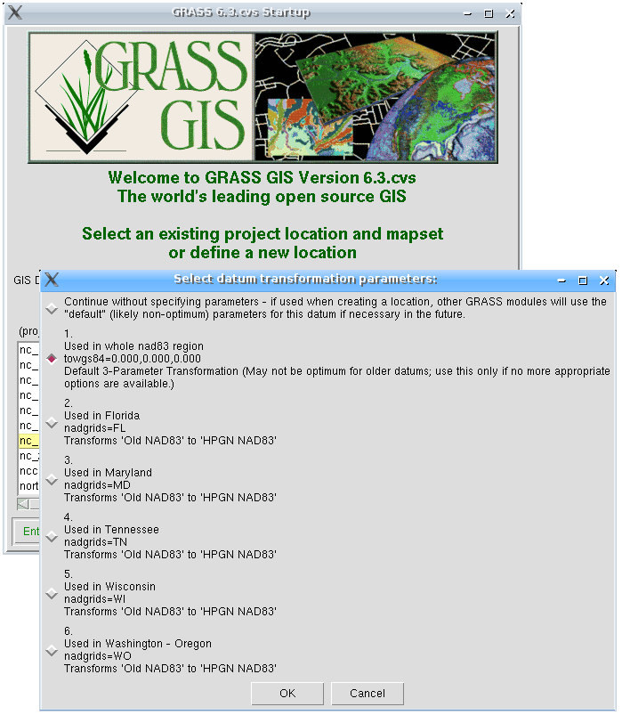
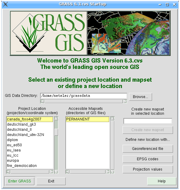
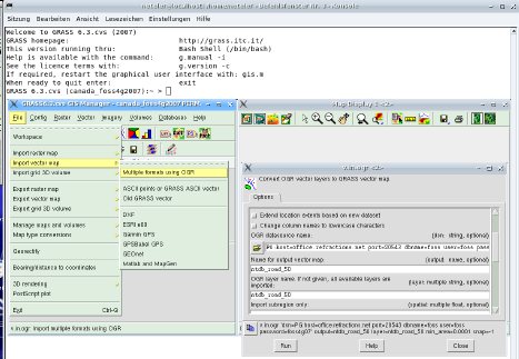
| 19:53, 23 August 2007 | Grass63 startup2.png (file) |  |
130 KB | 1 | |
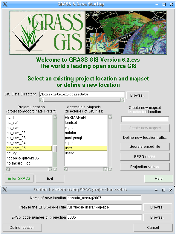
| 19:53, 23 August 2007 | Grass63 startup1.png (file) |  |
129 KB | 1 | |
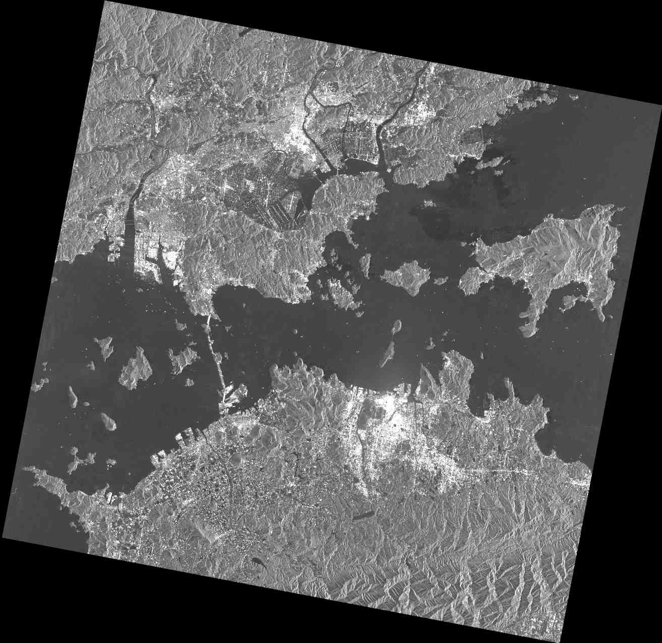
| 23:04, 15 February 2012 | PASL1500701140134440805020299B.jpg (file) |  |
128 KB | PALSAR raw data screenshot | 1 |
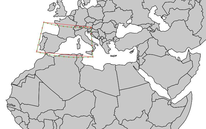
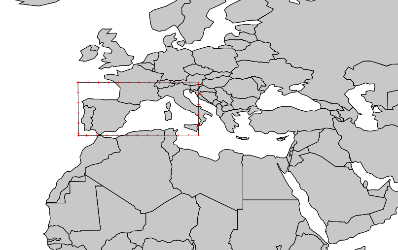
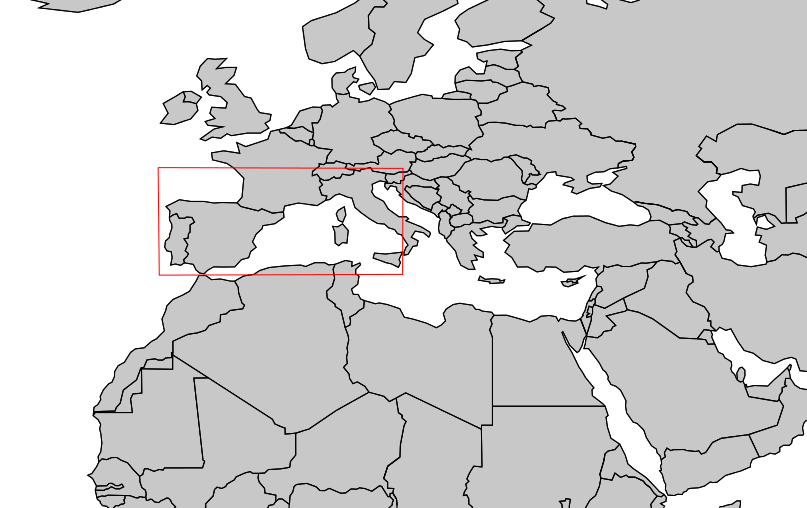
| 22:39, 10 May 2014 | V proj result.png (file) |  |
125 KB | v.proj example: result of LatLong to EU LAEA (EPSG 3035) projection. Use of v.split is mandatory | 1 |
| 17:32, 19 January 2014 | OSGeo code sprint2014.png (file) | 123 KB | 1 | ||
| 19:53, 23 August 2007 | Grass63 startup3.png (file) |  |
120 KB | 1 | |
| 13:01, 21 October 2006 | 800px-Gras.jpg (file) |  |
116 KB | http://commons.wikimedia.org/wiki/Image:Gras.jpg | 1 |
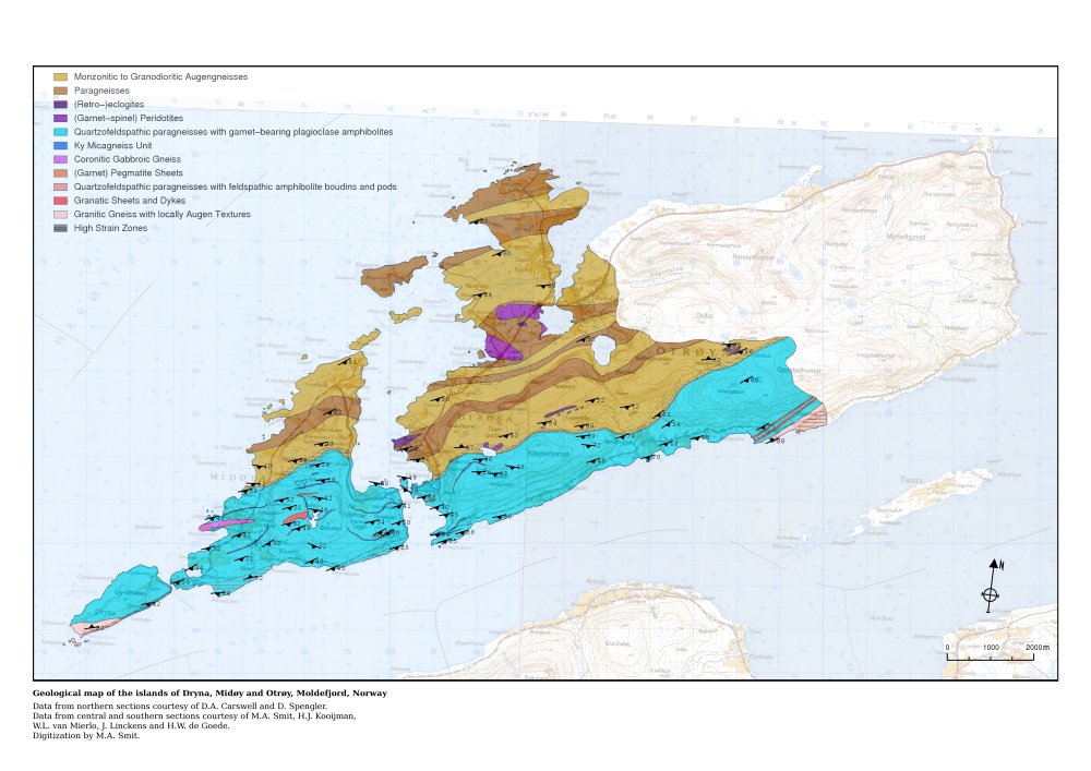
| 12:55, 4 June 2012 | Geomap klein.jpg (file) |  |
115 KB | Geology map of Moldefjord, Norway by Willem van Mierlo (from GRASS screenshots) | 1 |
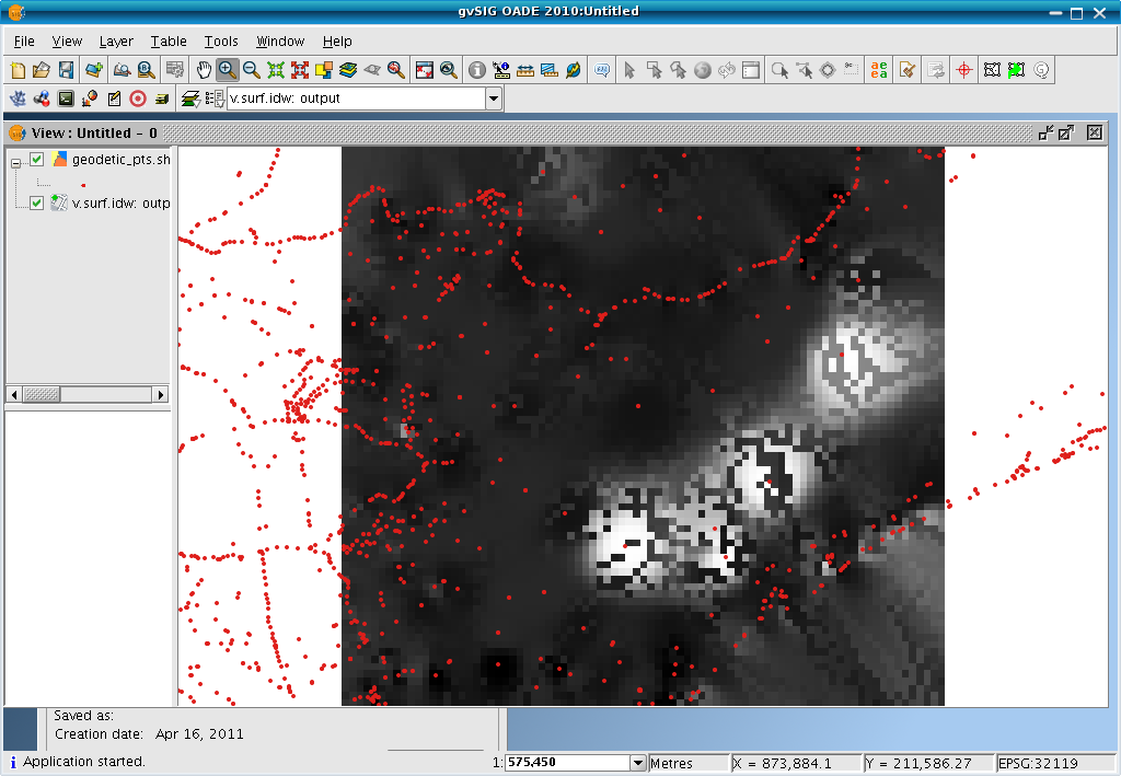
| 22:48, 15 April 2011 | GvSIG OADE sextante vsurfidw.png (file) |  |
112 KB | screenshot | 1 |
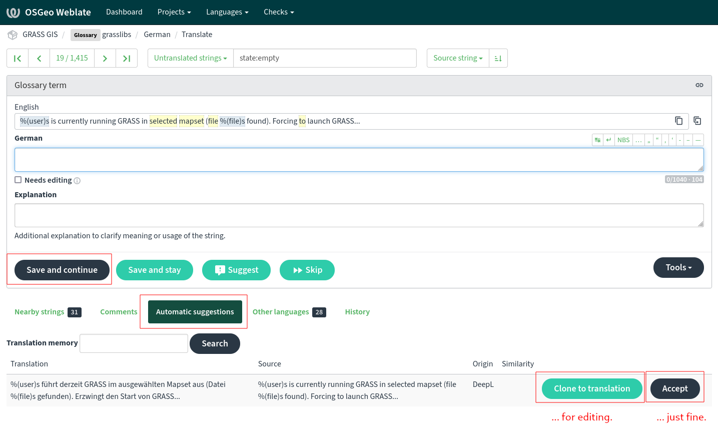
| 06:41, 5 May 2023 | Weblate with machine translation DeepL.png (file) | 111 KB | 1 | ||
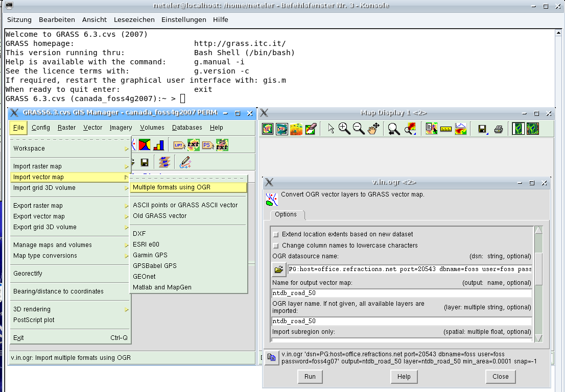
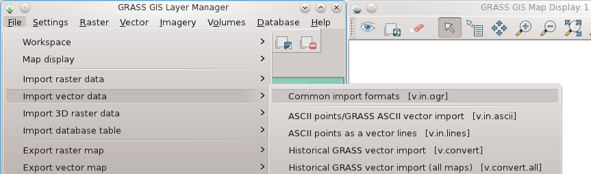
| 20:13, 23 August 2007 | Grass63 import1.png (file) |  |
110 KB | 1 | |
| 22:38, 10 May 2014 | V proj input split boundaries.png (file) |  |
107 KB | v.proj example: Input area data split with v.split to add more vertices (200km here) | 1 |
| 22:37, 10 May 2014 | V proj input unsplit boundaries.png (file) |  |
105 KB | v.proj example: Input area data (for this example: v.in.region generated) | 1 |
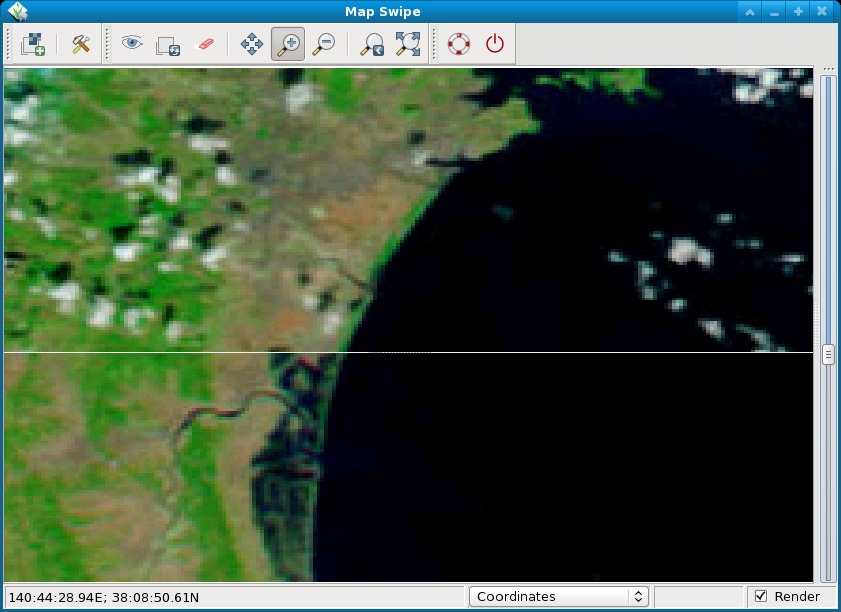
| 10:34, 13 August 2012 | Tsunami japan2011 sendai.jpg (file) |  |
99 KB | Pre and post disaster images of the tsunami in Japan in 2011. The MODIS image taken on February 26, 2011, shows the coastline under normal conditions while the MODIS image on March 13, 2011, shows a clear view of tsunami flooding along the coastline. Wate | 1 |
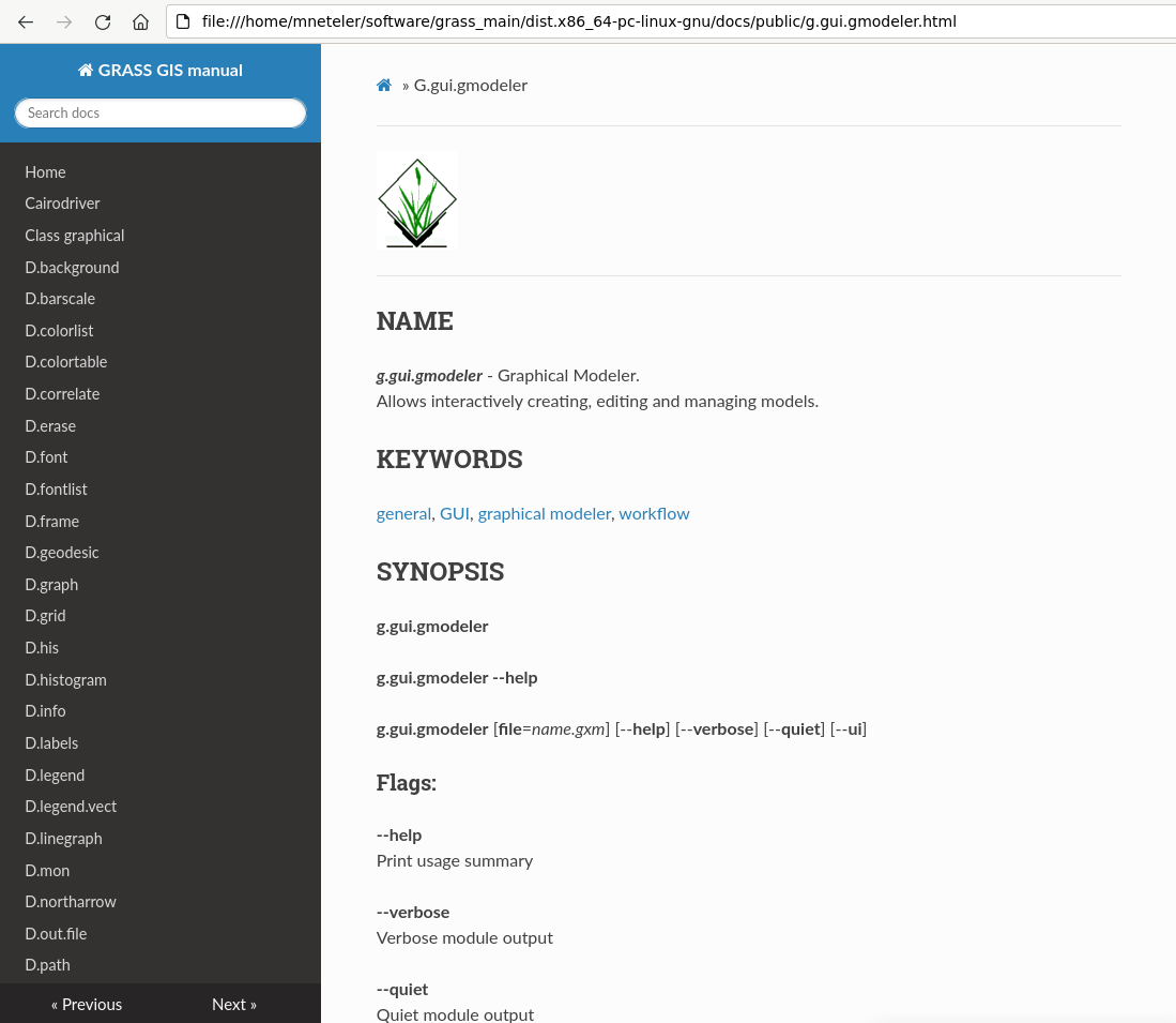
| 08:33, 6 June 2023 | Grass manual readthedocs.png (file) |  |
97 KB | First attempt to convert the manual to Markdown/mkdocs | 1 |
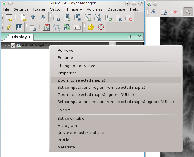
| 13:46, 7 April 2012 | Wxgui zoom to raster.png (file) |  |
90 KB | wxGUI: set map display to selected map (right mouse button context menu on map name) | 1 |
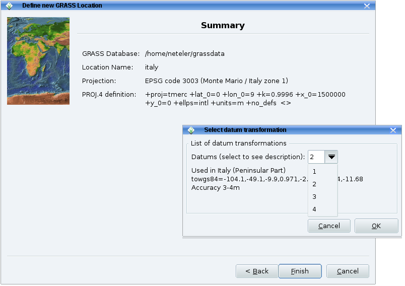
| 09:51, 17 April 2011 | Grass64 location wiz3.png (file) |  |
86 KB | 1 | |
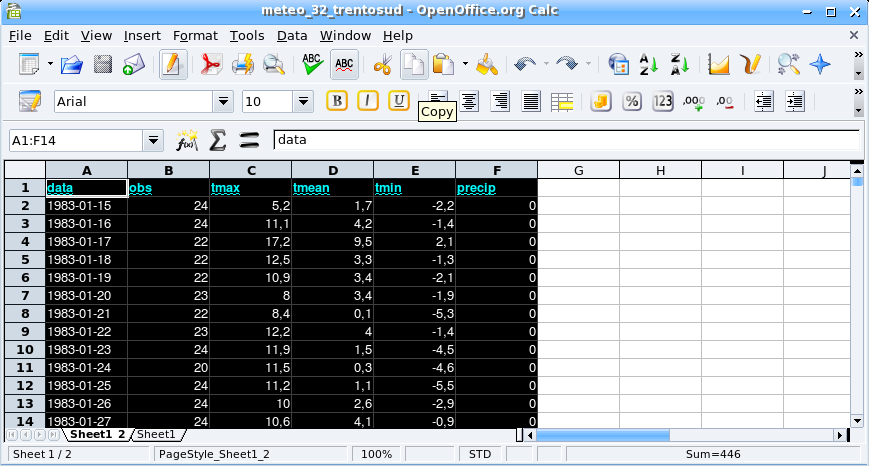
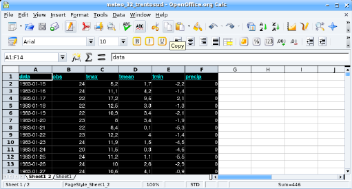
| 14:30, 21 November 2006 | Oo calc.png (file) |  |
86 KB | 1 | |
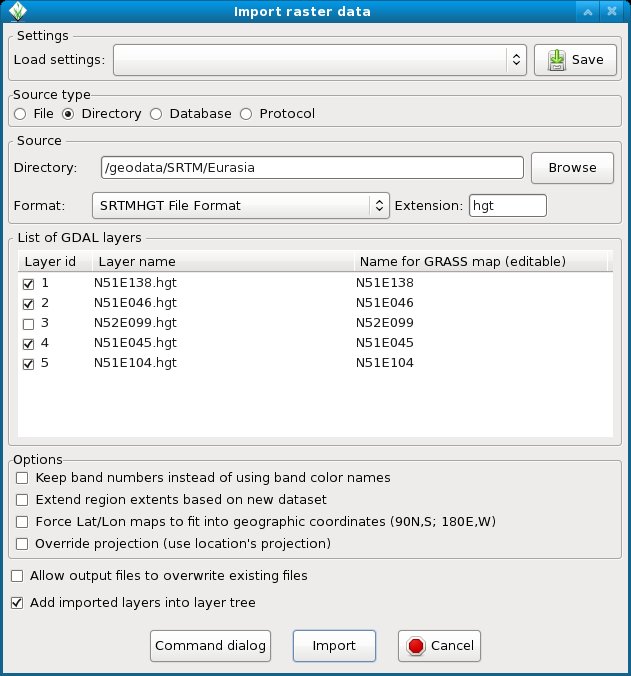
| 12:14, 10 July 2012 | WxGUI bulk srtm import.jpg (file) |  |
85 KB | Bulk import of SRTM (remember to add 'hgt' into the extension field) | 1 |
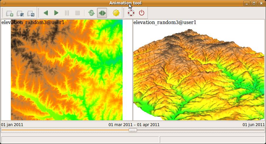
| 20:01, 5 February 2013 | WxGUI animation tool.jpg (file) |  |
85 KB | from manual page | 1 |
| 09:51, 17 April 2011 | Grass64 location wiz2.png (file) |  |
84 KB | 1 | |
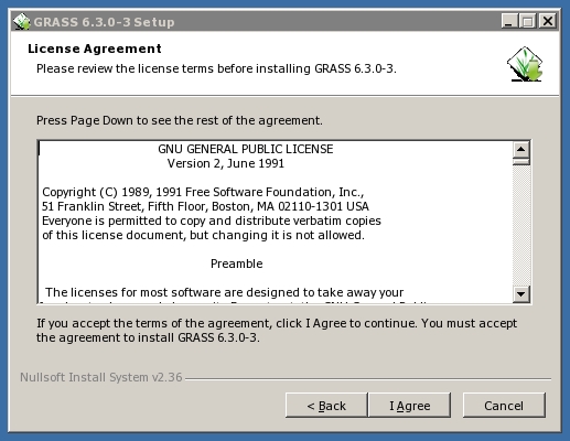
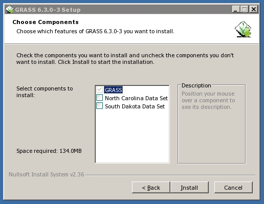
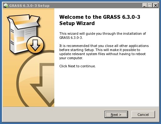
| 16:03, 17 June 2008 | Wingrass63 installer2.jpg (file) |  |
83 KB | 1 | |
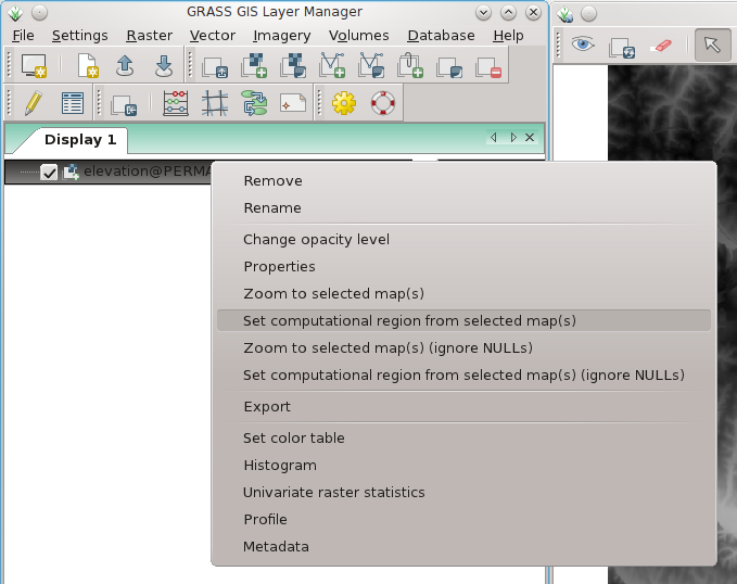
| 13:46, 7 April 2012 | Wxgui computat region to raster.png (file) |  |
80 KB | wxGUI: set computational region to selected map (right mouse button context menu on map name) | 1 |
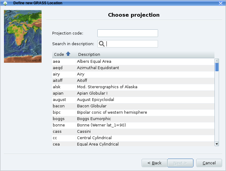
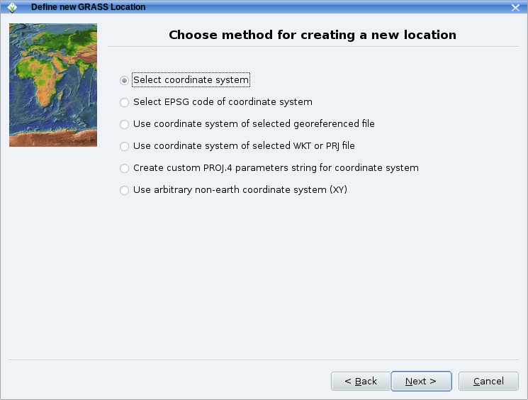
| 09:51, 17 April 2011 | Grass64 location wiz1.png (file) |  |
78 KB | 1 | |
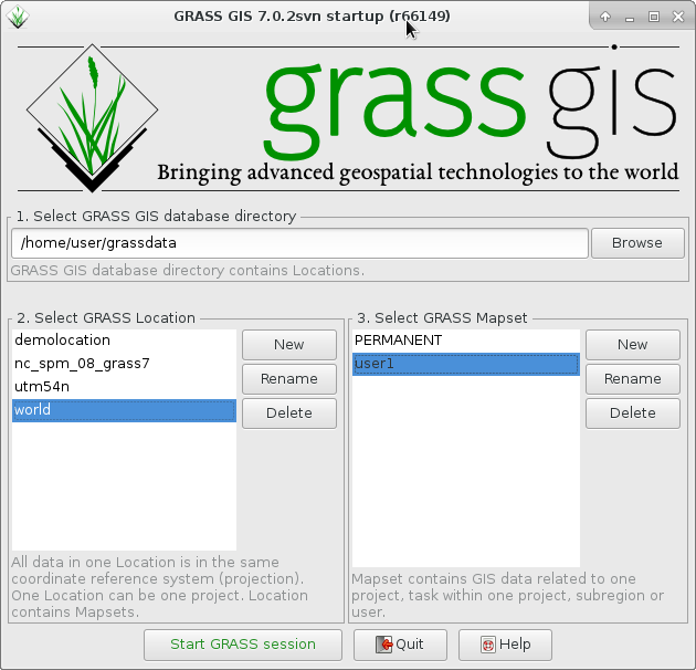
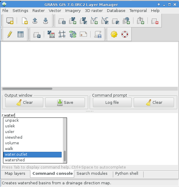
| 10:51, 8 September 2015 | GRASS GIS 70 startup.png (file) |  |
77 KB | udpated | 2 |
| 18:53, 1 April 2012 | WxGUI vector bulk import2.png (file) |  |
75 KB | Bulk import of multiple SHAPES via menu (files are auto-selected) | 1 |
| 08:53, 1 May 2011 | WxGUI bulk raster import2.png (file) |  |
74 KB | Bulk import of GeoTIFF 2 | 1 |
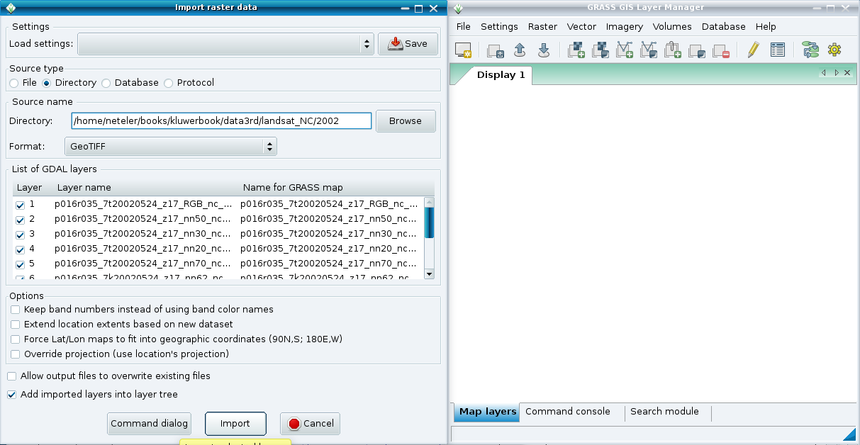
| 08:53, 1 May 2011 | WxGUI bulk raster import1.png (file) |  |
73 KB | Bulk import of GeoTIFF 1 | 1 |
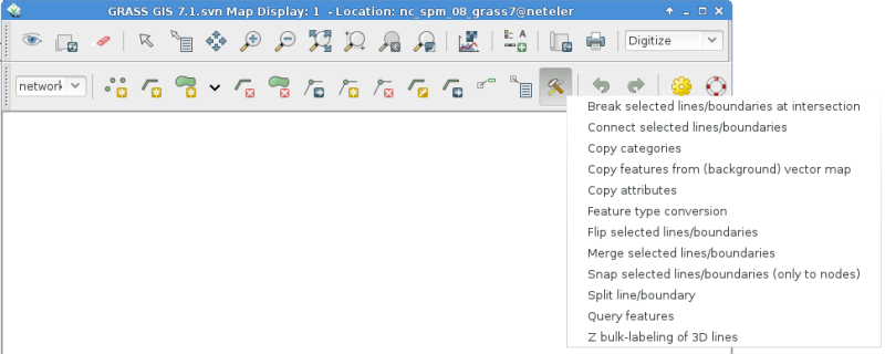
| 08:48, 6 June 2014 | Wxgui-vdigit-toolbar.png (file) |  |
69 KB | Updated screenshot | 2 |
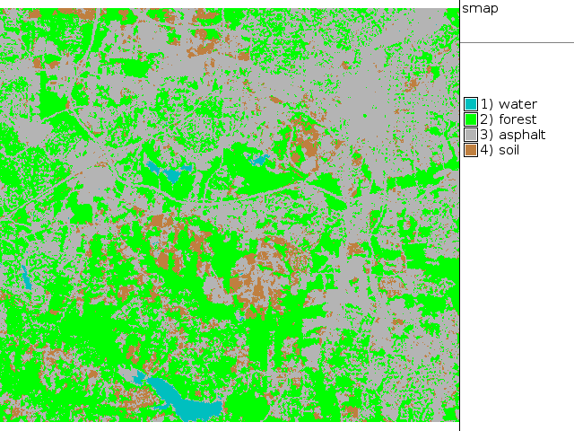
| 19:09, 26 September 2011 | Map lsat7 2002 class supervised.png (file) |  |
69 KB | NC Landsat map 2002 - SMAP supervised classification | 1 |
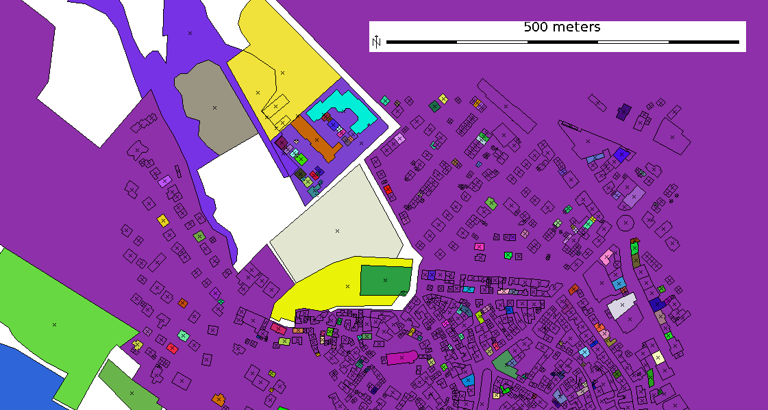
| 19:49, 25 October 2011 | Osm map2d.png (file) |  |
64 KB | OSM 2D map with colorized buildings | 1 |
| 16:04, 17 June 2008 | Wingrass63 installer3.jpg (file) |  |
63 KB | 1 | |
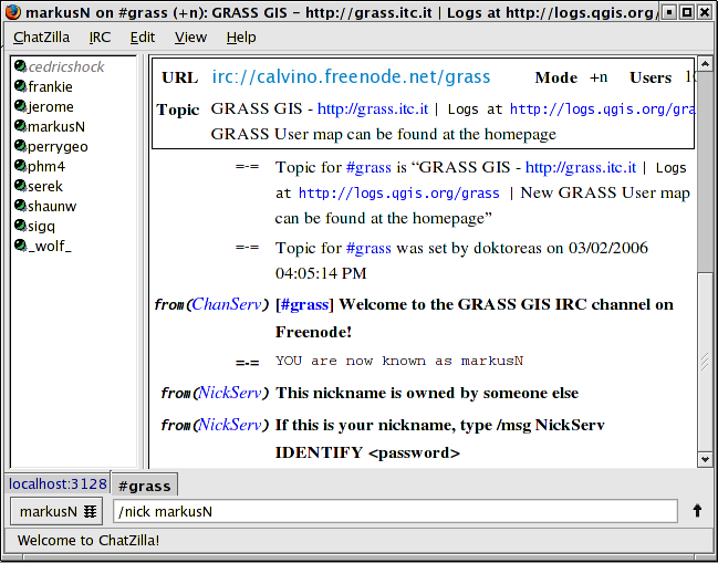
| 08:27, 20 June 2013 | Irc chatzilla.png (file) |  |
62 KB | IRC communication in chatzilla client (for Firefox) | 1 |
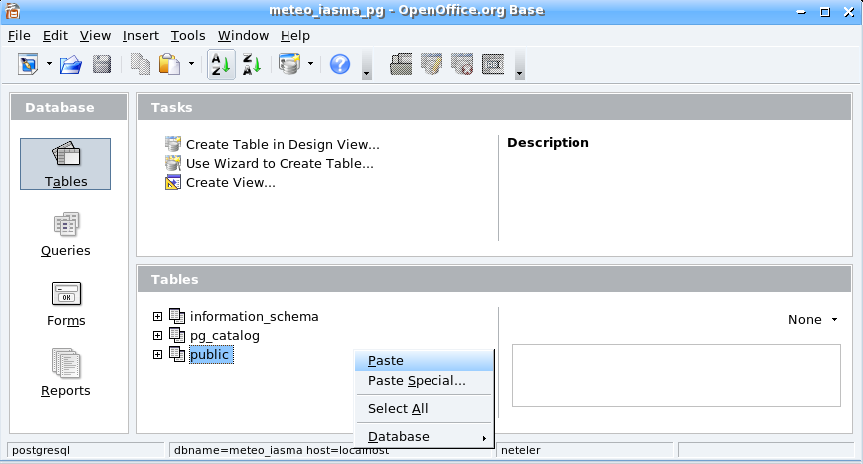
| 14:33, 21 November 2006 | Oo base paste.png (file) |  |
52 KB | 1 | |
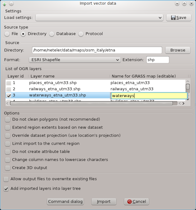
| 18:52, 1 April 2012 | WxGUI vector bulk import1.png (file) |  |
51 KB | Bulk import of vector files via menu | 1 |
| 00:01, 29 July 2013 | Grass gis 30 years logo 500px.png (file) | 50 KB | 30 YEARS OF GRASS GIS - Community Sprint Prague 2013 | 1 | |
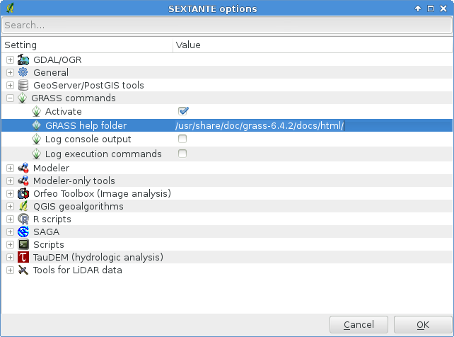
| 20:55, 24 May 2013 | Sextante grass help folder.png (file) |  |
48 KB | Setting the GRASS help manual folder in Sextante | 1 |
| 14:30, 21 November 2006 | Oo calc small.png (file) |  |
47 KB | 1 | |
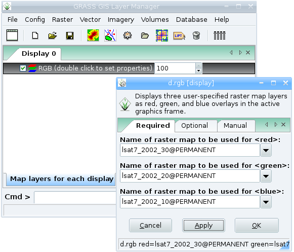
| 16:05, 5 February 2008 | Wxgrass rgb.png (file) |  |
45 KB | RGB Landsat in wxgrass | 1 |
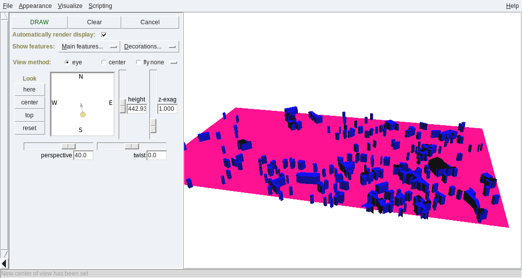
| 15:00, 22 October 2011 | Osm map3d buildings.png (file) |  |
44 KB | 3D buildings map from OSM | 1 |
| 14:52, 14 February 2015 | Wxgui command line.png (file) |  |
44 KB | wxGUI command line | 1 |
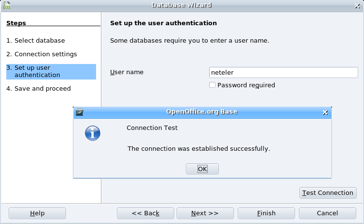
| 19:16, 3 December 2006 | Oobase pg connect3.png (file) |  |
40 KB | 1 | |
| 21:46, 26 April 2023 | FOSSGIS eV logo.png (file) | 40 KB | 2 | ||
| 20:14, 23 August 2007 | Grass63 import1 small.jpg (file) |  |
40 KB | 1 | |
| 11:55, 16 July 2012 | DaveSampson.png (file) |  |
39 KB | 1 | |
| 19:16, 3 December 2006 | Oobase pg connect2.png (file) |  |
38 KB | 1 | |
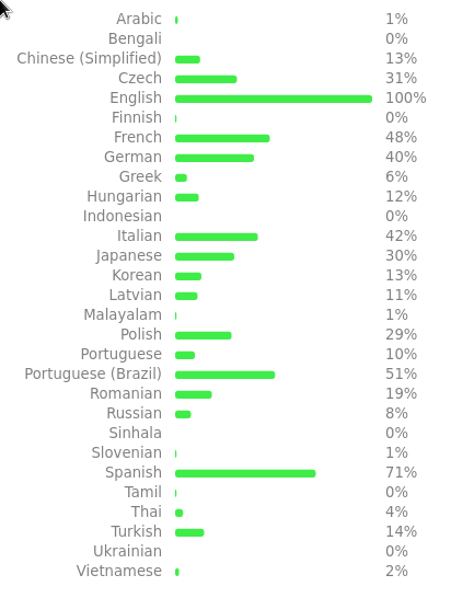
| 15:56, 20 January 2023 | Weblate grassgis widget.png (file) |  |
37 KB | Weblate GRASS GIS widget, https://weblate.osgeo.org/widgets/grass-gis/ | 1 |
| 09:06, 23 June 2008 | Wingrass63 installer1.jpg (file) |  |
37 KB | 2 | |
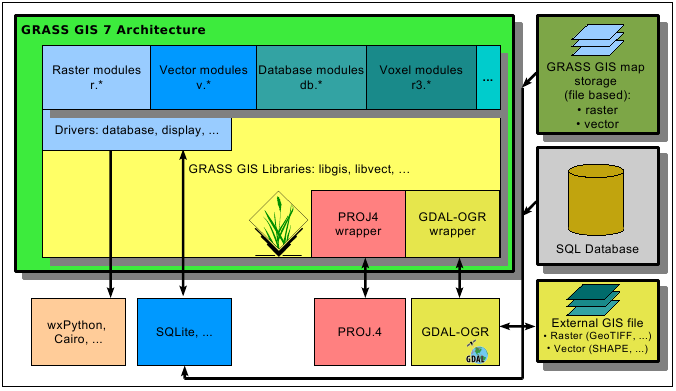
| 19:16, 10 August 2012 | Grass7 arch.png (file) |  |
35 KB | GRASS 7 architecture | 1 |