File list
Jump to navigation
Jump to search
This special page shows all uploaded files.
| Date | Name | Thumbnail | Size | User | Description | Versions |
|---|---|---|---|---|---|---|
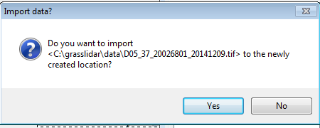
| 02:25, 7 November 2016 | Grasslidar 12.png (file) |  |
85 KB | ⚠️Dnewcomb | 1 | |
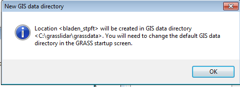
| 02:20, 7 November 2016 | Grasslidar 11.png (file) |  |
59 KB | ⚠️Dnewcomb | 1 | |
| 02:20, 7 November 2016 | Grasslidar 10.png (file) |  |
7 KB | ⚠️Dnewcomb | 1 | |
| 02:14, 7 November 2016 | Grasslidar 9.png (file) |  |
9 KB | ⚠️Dnewcomb | 1 | |
| 02:11, 7 November 2016 | Grasslidar 8.png (file) |  |
10 KB | ⚠️Dnewcomb | 1 | |
| 02:07, 7 November 2016 | Grasslidar 7.png (file) |  |
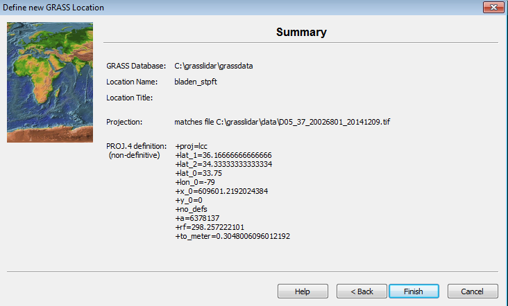
11 KB | ⚠️Dnewcomb | Location information | 1 |
| 02:07, 7 November 2016 | Grasslidar 6.png (file) |  |
78 KB | ⚠️Dnewcomb | 1 | |
| 02:01, 7 November 2016 | Grasslidar 5.png (file) |  |
69 KB | ⚠️Dnewcomb | Selected file | 1 |
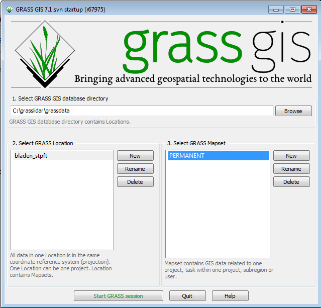
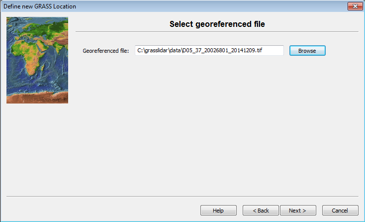
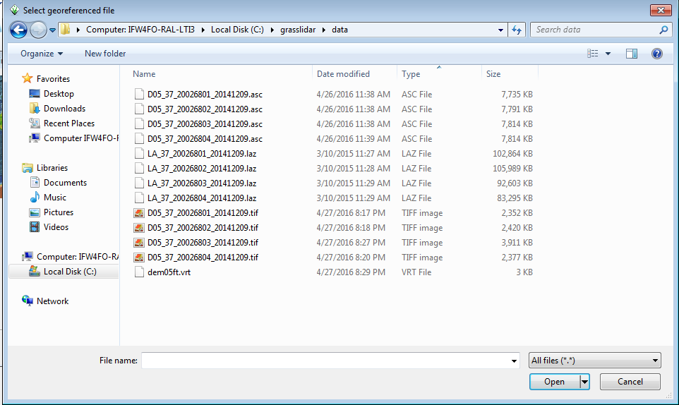
| 01:57, 7 November 2016 | Grasslidar 4.png (file) |  |
83 KB | ⚠️Dnewcomb | File Selection screen | 1 |
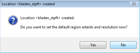
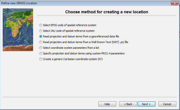
| 01:41, 7 November 2016 | Grasslidar 3.png (file) |  |
81 KB | ⚠️Dnewcomb | Selection of projection for mapset | 1 |
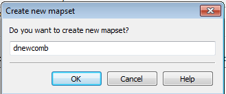
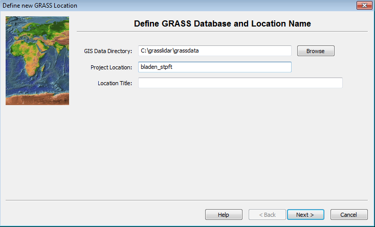
| 01:23, 7 November 2016 | Grasslidar 2.png (file) |  |
72 KB | ⚠️Dnewcomb | Mapset creation dialog | 1 |
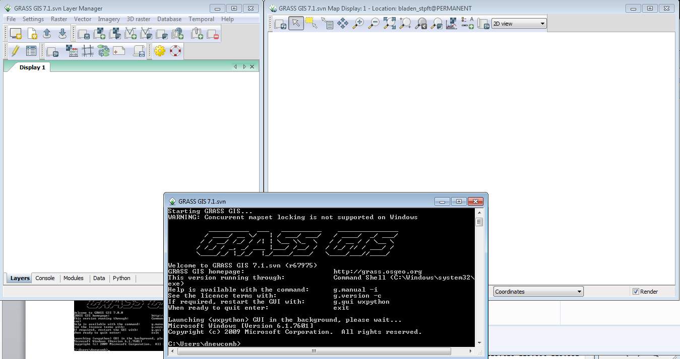
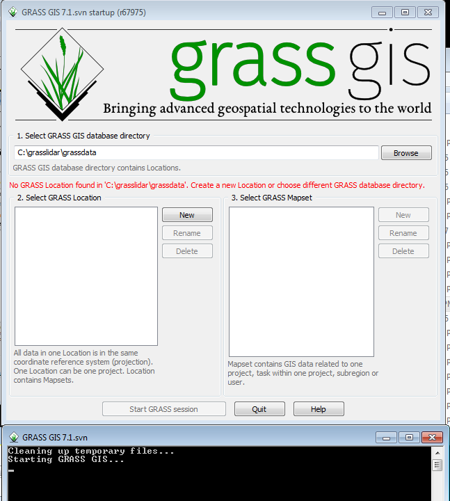
| 01:19, 7 November 2016 | Grasslidar 1.png (file) |  |
68 KB | ⚠️Dnewcomb | Opening screenshot for GRASS GIS | 1 |
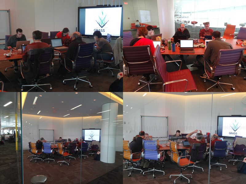
| 00:31, 6 November 2016 | Raleigh 2016 11 05.jpg (file) |  |
118 KB | ⚠️Wenzeslaus | GRASS GIS meetup, Hunt Library, Raleigh, NC, November 5, 2016 | 1 |
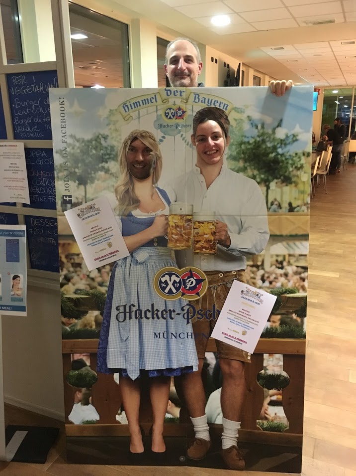
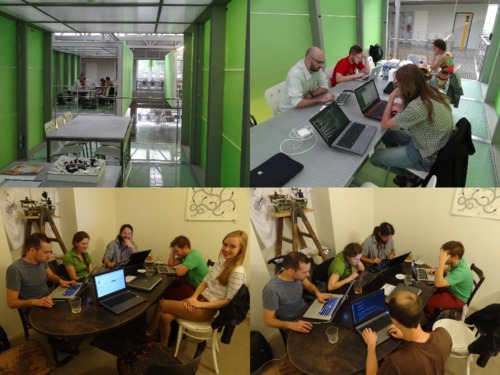
| 08:47, 19 October 2016 | Meetup2016-10-18.jpeg (file) |  |
149 KB | ⚠️Madi | Some fun after the meetup | 1 |
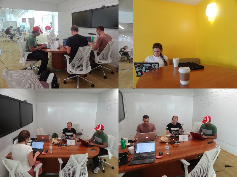
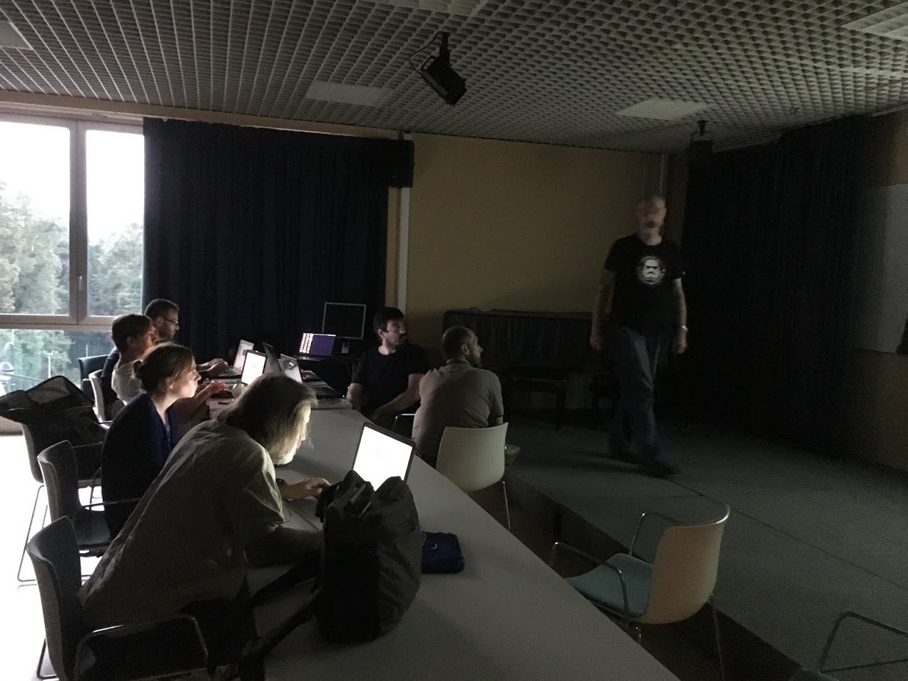
| 21:01, 1 October 2016 | GRASS meetup 10 01 2016.jpg (file) |  |
113 KB | Annakrat | GRASS GIS meetup in Hunt Library, Raleigh 10/01/2016 | 1 |
| 09:28, 28 September 2016 | Comparison Paris.png (file) |  |
15 KB | ⚠️Marco.minghini | image resized | 2 |
| 07:09, 28 September 2016 | IMG 1198.JPG (file) |  |
189 KB | ⚠️Madi | GRASS GIS Meetup at Clubhouse, Ispra(VA), Italy, on 27 Sep 2016 | 1 |
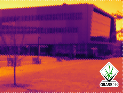
| 02:58, 25 September 2016 | Hunt Library with GRASS GIS logo.png (file) | 219 KB | ⚠️Wenzeslaus | Create XY location. r.import input=hunt.jpg output=hunt g.rename raster=hunt.1,hunt_red g.rename raster=hunt.2,hunt_green g.rename raster=hunt.3,hunt_blue g.region rast=hunt_red i.pca input=hunt_red,hunt_green,hunt_blue out=hunt_pca g.copy rast... | 1 | |
| 13:34, 10 September 2016 | Layer3.png (file) |  |
34 KB | Veroandreo | 1 | |
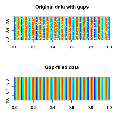
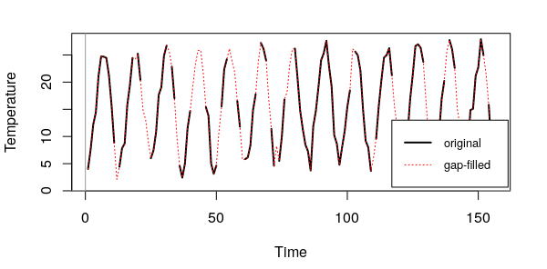
| 13:32, 10 September 2016 | Plot gaps nogaps.png (file) |  |
44 KB | Veroandreo | 1 | |
| 13:31, 10 September 2016 | Time series.png (file) |  |
35 KB | Veroandreo | 1 | |
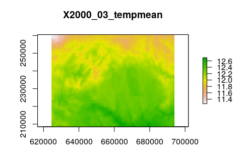
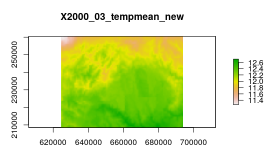
| 13:29, 10 September 2016 | Tempmean new 3.png (file) |  |
35 KB | Veroandreo | 1 | |
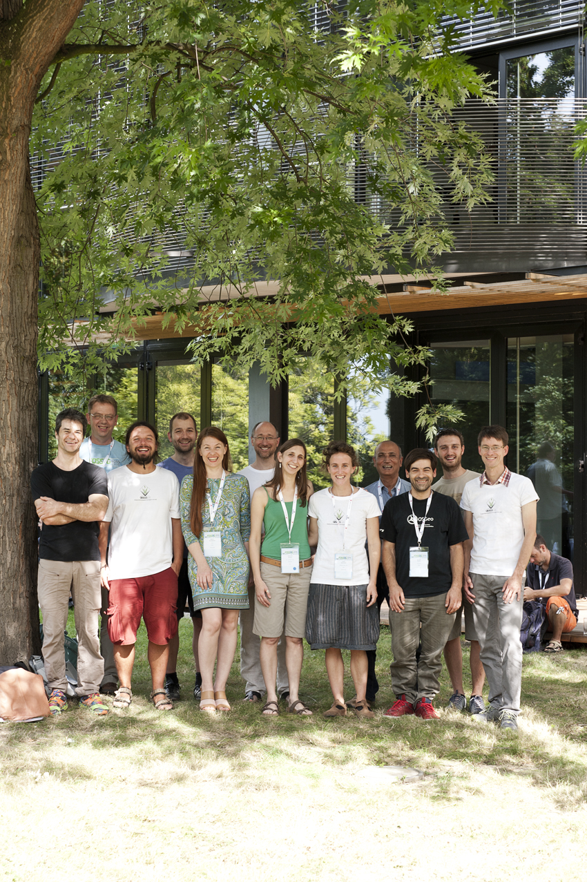
| 19:56, 5 September 2016 | Grass sprint10 JoHempel.jpg (file) |  |
1.25 MB | Veroandreo | 1 | |
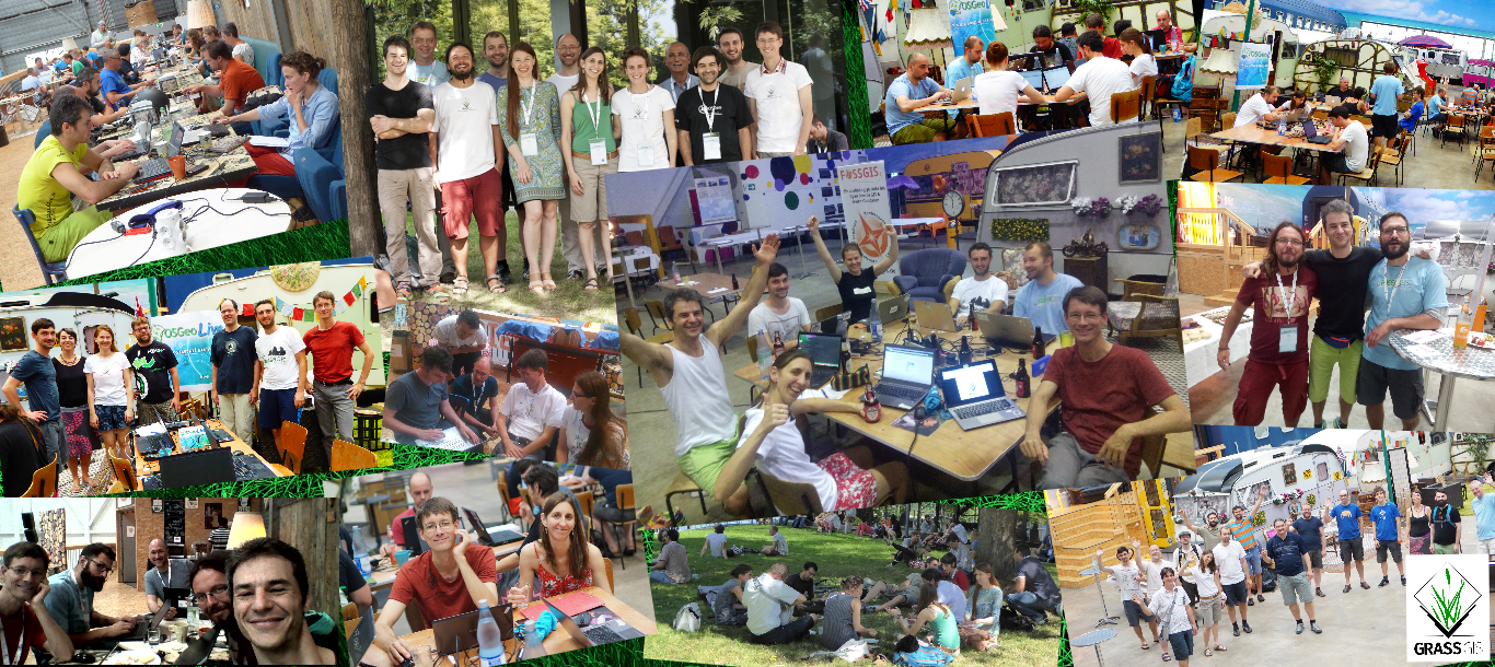
| 19:23, 5 September 2016 | Grass community sprint 2016.png (file) |  |
1.92 MB | Veroandreo | 1 | |
| 19:38, 5 August 2016 | Isprs prague meetup.jpg (file) |  |
63 KB | ⚠️Wenzeslaus | Photos taken during ISPRS Prague meetup 2016 in CTU FCE Atelier D and Pracovna Café | 1 |
| 16:49, 30 July 2016 | Veroandreo.jpg (file) |  |
377 KB | Veroandreo | 1 | |
| 01:07, 9 June 2016 | Grass meetup 2016 03 19.jpg (file) |  |
131 KB | ⚠️Wenzeslaus | GRASS GIS Raleigh meetup, March 19, 2016, The Hunt library | 1 |
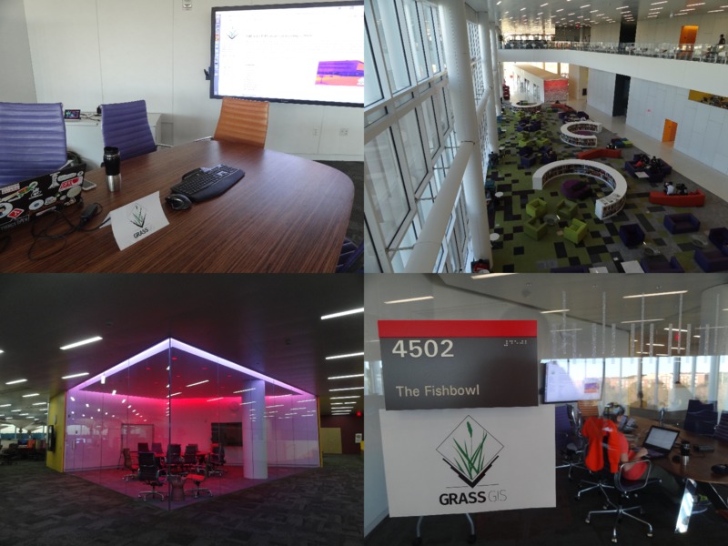
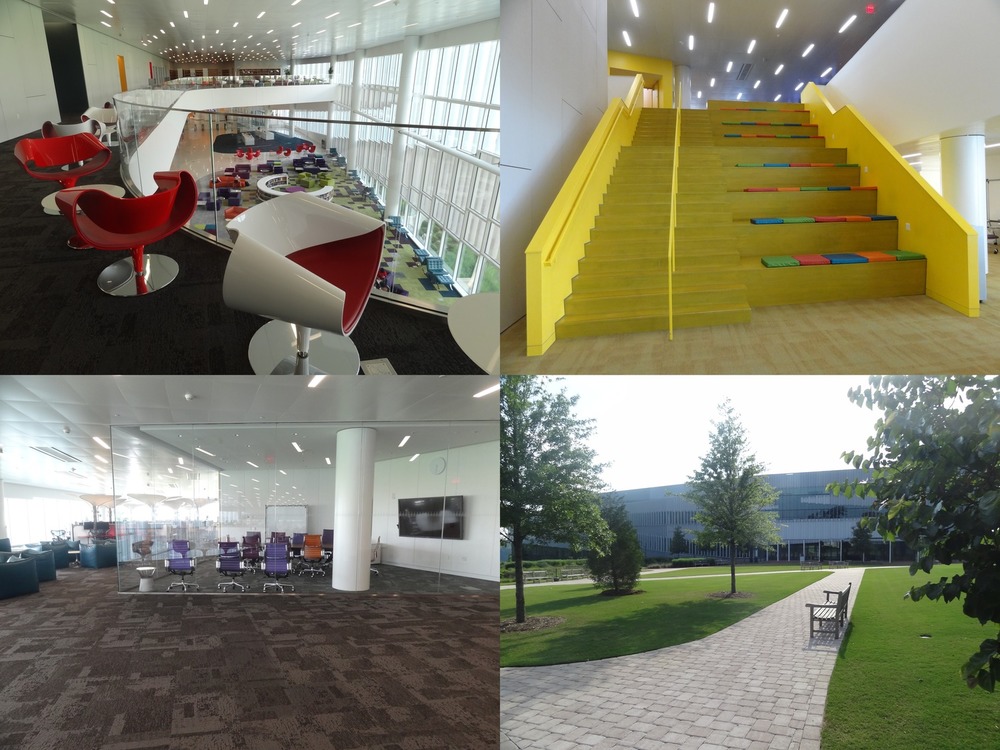
| 00:45, 9 June 2016 | Hunt library spaces.jpg (file) |  |
206 KB | ⚠️Wenzeslaus | Spaces in the NC State Hunt library and the building from outside. Empty Fish bowl after the GRASS GIS Raleigh meetup and almost empty library during the summer. | 1 |
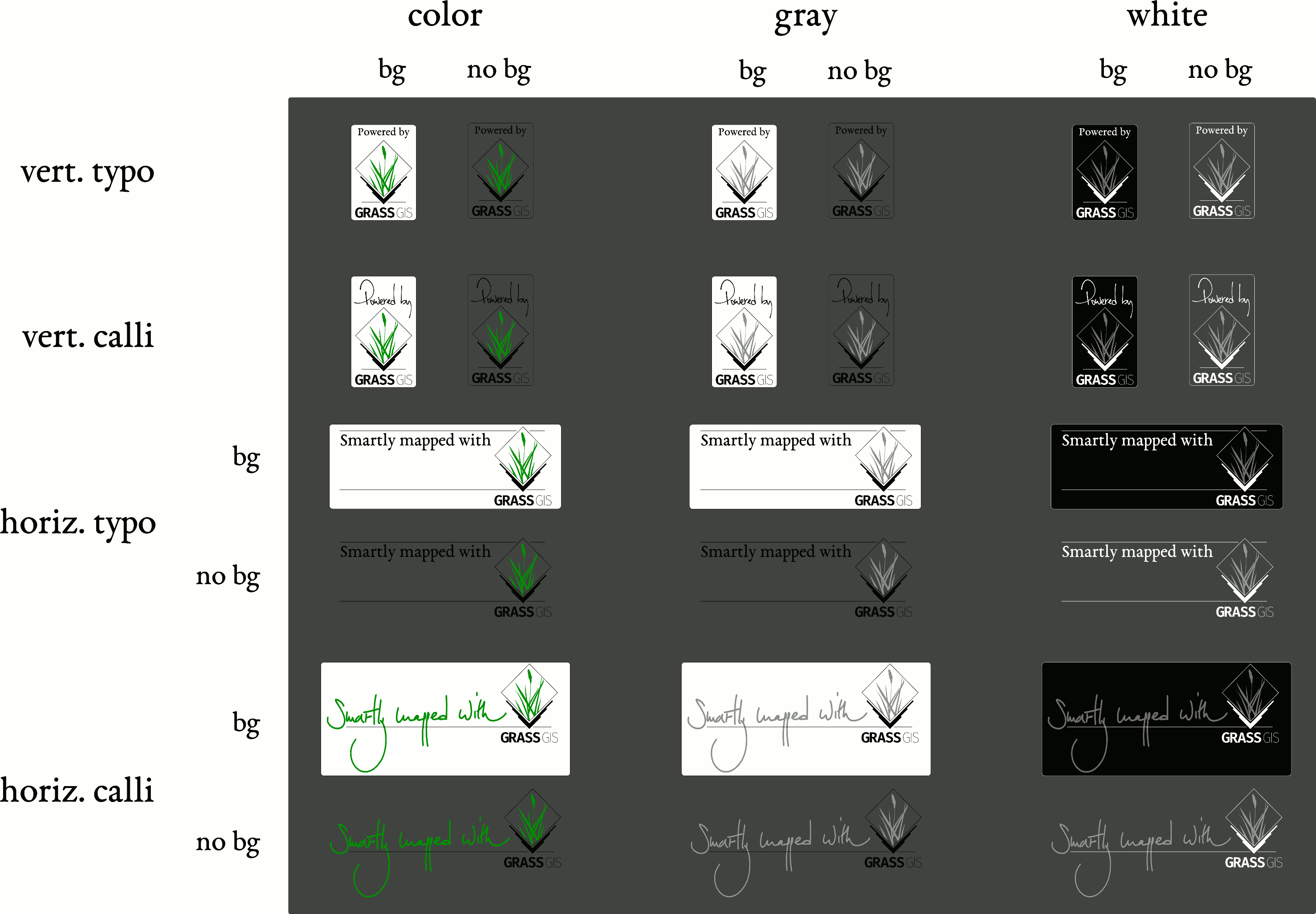
| 08:01, 23 May 2016 | Powerby synth.png (file) |  |
186 KB | ⚠️Vincent | 2 | |
| 07:46, 23 May 2016 | Mappedwith typo.png (file) |  |
69 KB | ⚠️Vincent | Proposal #2 for "mapped with..." sticker | 1 |
| 07:44, 23 May 2016 | Mappedwith freeh.png (file) |  |
63 KB | ⚠️Vincent | Proposal #1 for "mapped with..." sticker | 1 |
| 07:41, 23 May 2016 | Powerby typo.png (file) |  |
41 KB | ⚠️Vincent | Proposal #2 for "powered by..." sticker | 1 |
| 07:39, 23 May 2016 | Powerby freeh.png (file) |  |
45 KB | ⚠️Vincent | Proposal #1 for "powered by..." sticker | 1 |
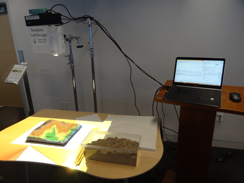
| 01:37, 28 April 2016 | Tangible landscape setup.jpg (file) |  |
134 KB | Annakrat | One possible Tangible Landscape setup | 1 |
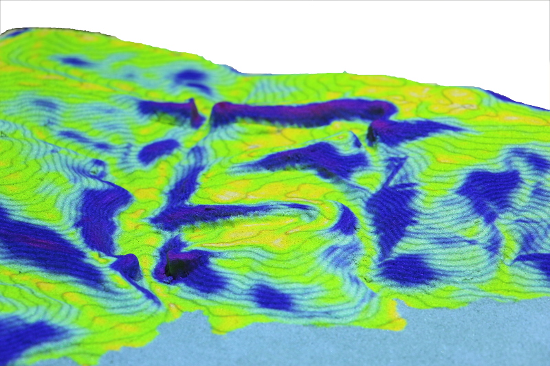
| 22:13, 25 April 2016 | Tangible landscape slope.jpg (file) |  |
244 KB | Annakrat | Tangible Landscape: topographic slope | 1 |
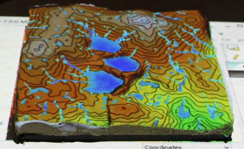
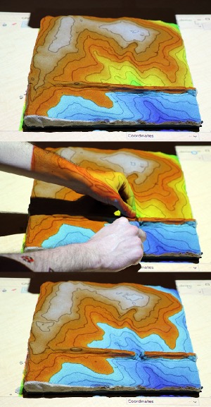
| 22:02, 25 April 2016 | Tangible landscape r fill dir.jpg (file) |  |
130 KB | Annakrat | Tangible Landscape: example of using {{cmd|r.fill.dir}} to create ponds | 1 |
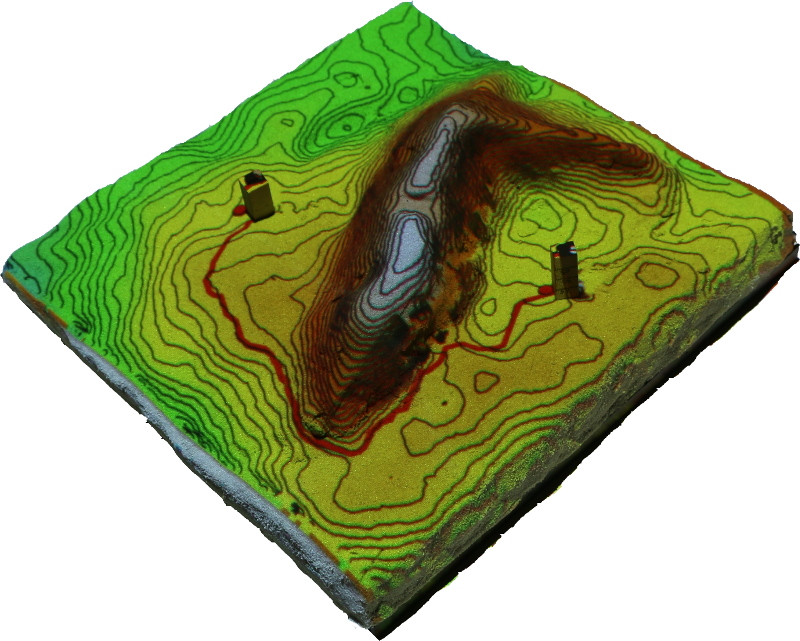
| 21:42, 25 April 2016 | Least cost path.jpg (file) |  |
246 KB | Annakrat | Tangible landscape: Least cost path example where cost is slope | 1 |
| 03:19, 22 April 2016 | FOSS4G NA 2016.png (file) | 67 KB | Annakrat | Downloaded from https://2016.foss4g-na.org/sites/default/files/728X90.png | 1 | |
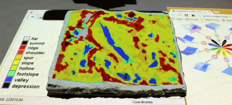
| 03:15, 22 April 2016 | Tangible landscape geomorphons.jpg (file) |  |
197 KB | Annakrat | Tangible Landscape: Landforms computed with {{AddonCmd|r.geomorphon}} | 1 |
| 03:07, 22 April 2016 | Tangible landscape rlake.jpg (file) |  |
65 KB | Annakrat | Example of simple flooding simulation with Tangible Landscape and {{cmd|r.lake}} module. | 1 |
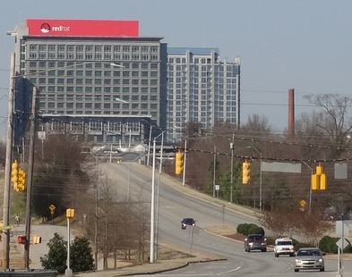
| 02:05, 21 April 2016 | Red hat raleigh.jpg (file) |  |
43 KB | ⚠️Wenzeslaus | Red Hat Tower in Downtown Raleigh | 1 |
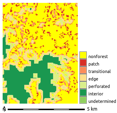
| 02:46, 1 April 2016 | Forest fragmentation.png (file) |  |
11 KB | Annakrat | Forest fragmentation computed with addon r.forestfrag | 1 |
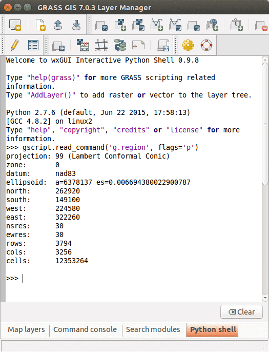
| 18:32, 30 March 2016 | GRASS GUI Python shell.png (file) |  |
42 KB | Annakrat | Python Shell in GRASS GIS GUI | 1 |
| 03:17, 30 March 2016 | FUTURES animation tool.gif (file) |  |
504 KB | Annakrat | FUTURES results animated using GRASS GIS Animation tool | 1 |
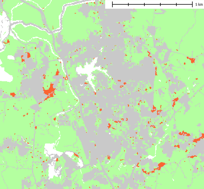
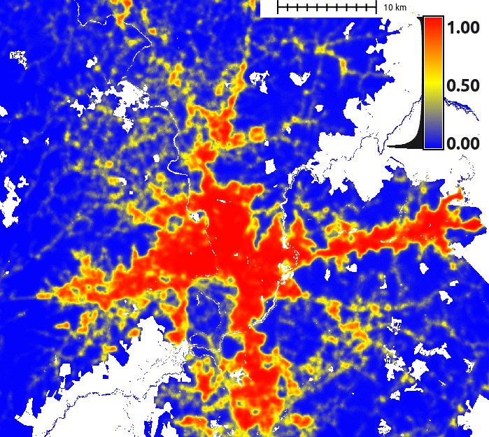
| 03:49, 29 March 2016 | FUTURES result.png (file) |  |
22 KB | Annakrat | Example of resulting pattern of r.futures.pga | 1 |
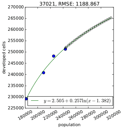
| 03:21, 29 March 2016 | FUTURES demand.png (file) |  |
11 KB | Annakrat | Per capita development for one county derived by {{AddonCmd|r.futures.demand}}. | 1 |
| 03:16, 29 March 2016 | FUTURES suitability.png (file) |  |
157 KB | Annakrat | FUTURES site suitability modeled by r.futures.potential and computed by r.futures.potsurface | 1 |
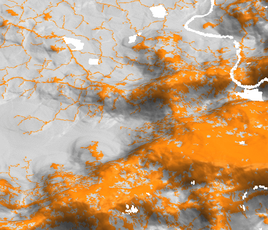
| 03:03, 29 March 2016 | FUTURES devpressure 3D.png (file) |  |
120 KB | Annakrat | Development pressure (computed by r.futures.devpressure) visualized as 3D surface with binary development map draped as color (orange developed, grey undeveloped). | 1 |
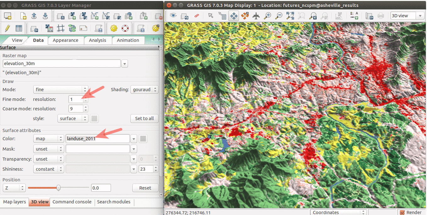
| 15:55, 28 March 2016 | WxGUI 3Dview.png (file) |  |
482 KB | Annakrat | Draped NLCD 2011 over NED elevation raster. | 1 |
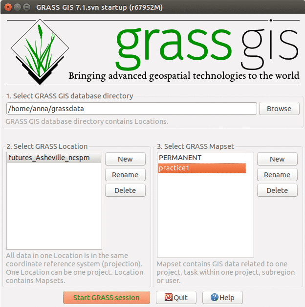
| 15:30, 28 March 2016 | GRASS FUTURES startup.png (file) |  |
55 KB | Annakrat | different layout of mapsets | 2 |