File list
Jump to navigation
Jump to search
This special page shows all uploaded files.
| Date | Name | Thumbnail | Size | User | Description | Versions |
|---|---|---|---|---|---|---|
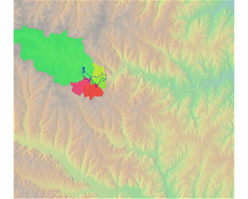
| 08:49, 6 October 2009 | Bas lake dengerous.png (file) |  |
201 KB | ⚠️Jarekj 71 | 1 | |
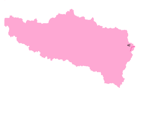
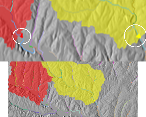
| 10:31, 6 October 2009 | Bas sel streams.png (file) |  |
21 KB | ⚠️Jarekj 71 | 1 | |
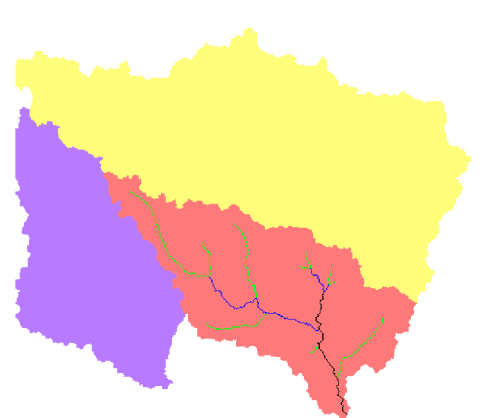
| 13:51, 5 October 2009 | Bas sequence categories.png (file) |  |
34 KB | ⚠️Jarekj 71 | 1 | |
| 11:57, 29 September 2009 | Basin 1.png (file) |  |
9 KB | ⚠️Jarekj 71 | 1 | |
| 11:57, 29 September 2009 | Basin 3.png (file) |  |
14 KB | ⚠️Jarekj 71 | 1 | |
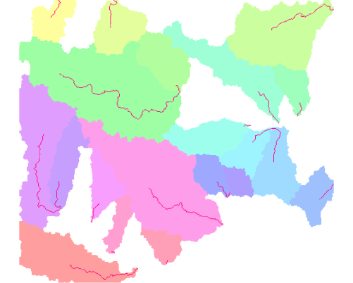
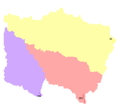
| 08:45, 6 October 2009 | Basin points.png (file) |  |
212 KB | ⚠️Jarekj 71 | 1 | |
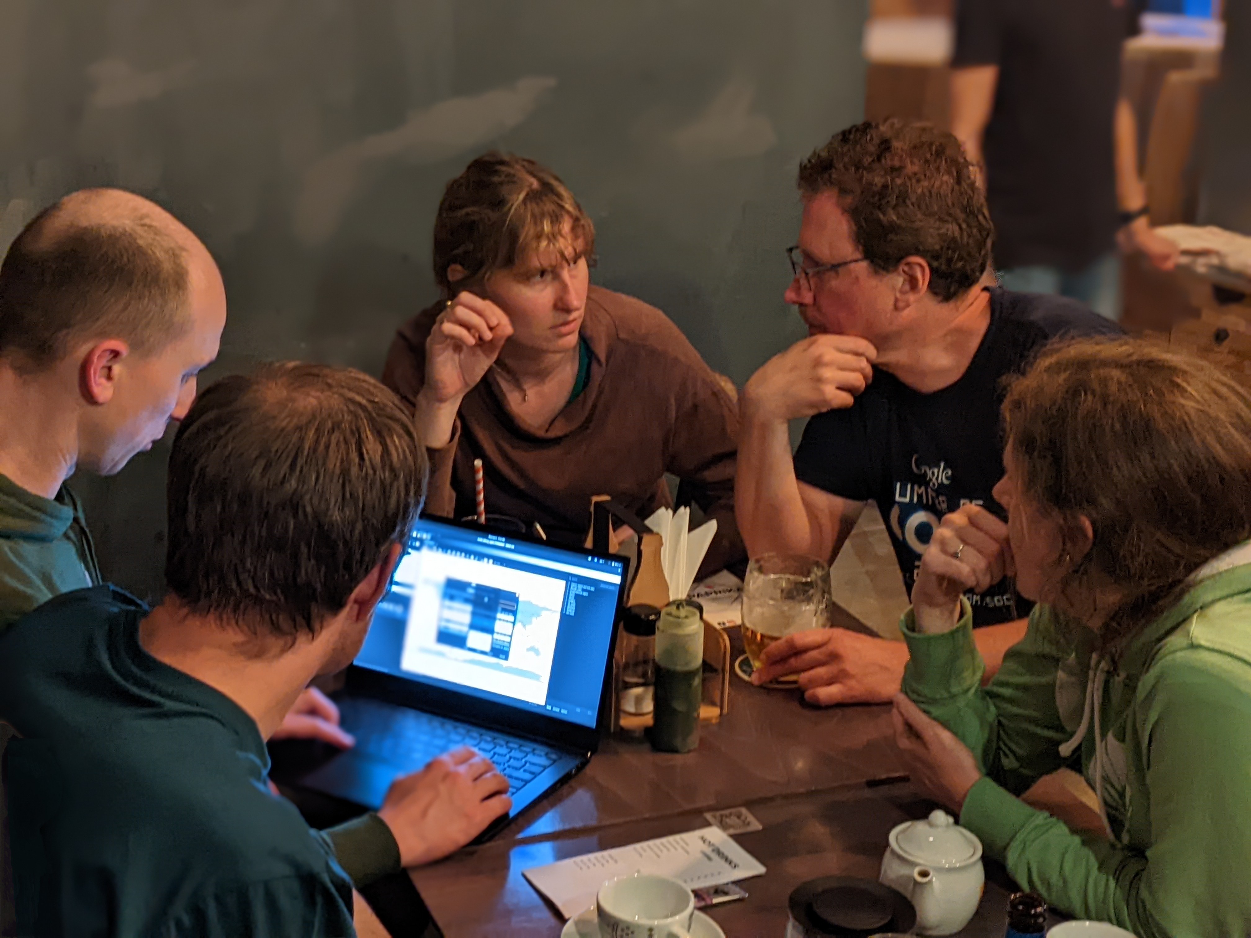
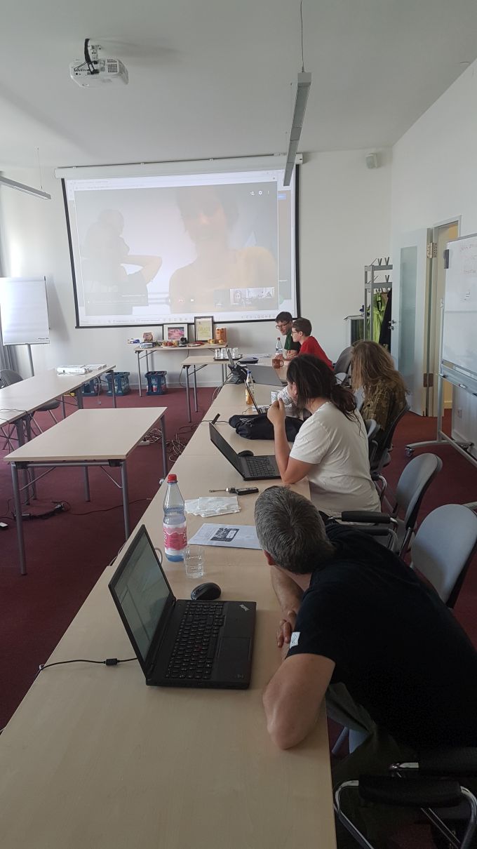
| 08:26, 6 June 2023 | Beer-and-work-day4.jpg (file) |  |
2.78 MB | ⚠️Chaedrich | 1 | |
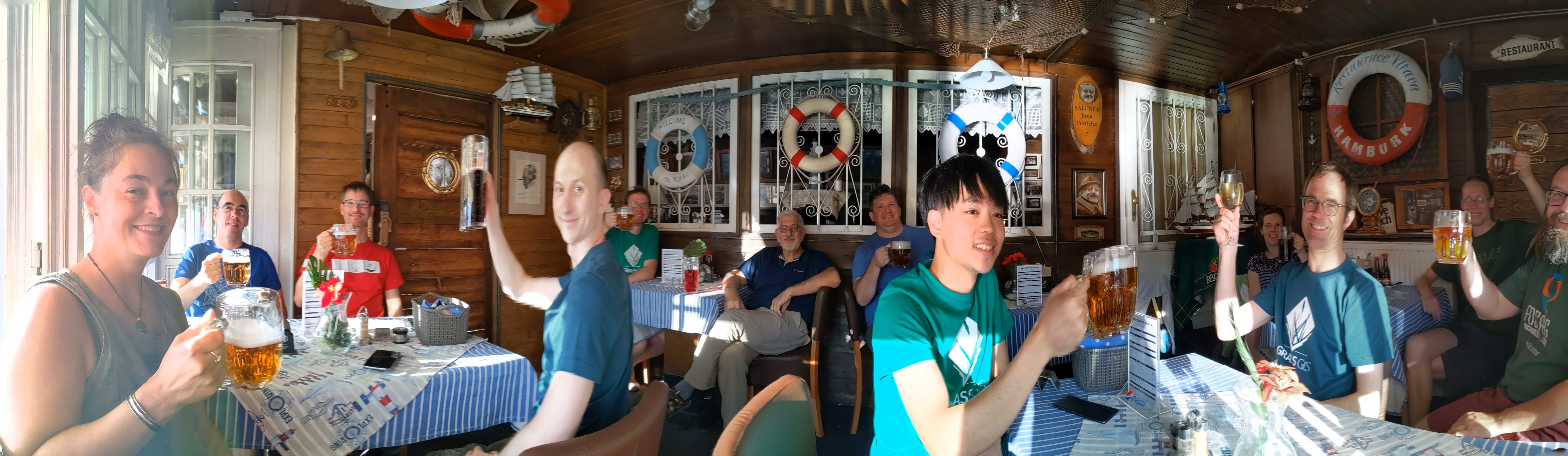
| 09:49, 5 June 2023 | Beer-pano-day3.jpg (file) |  |
2.8 MB | ⚠️Chaedrich | 1 | |
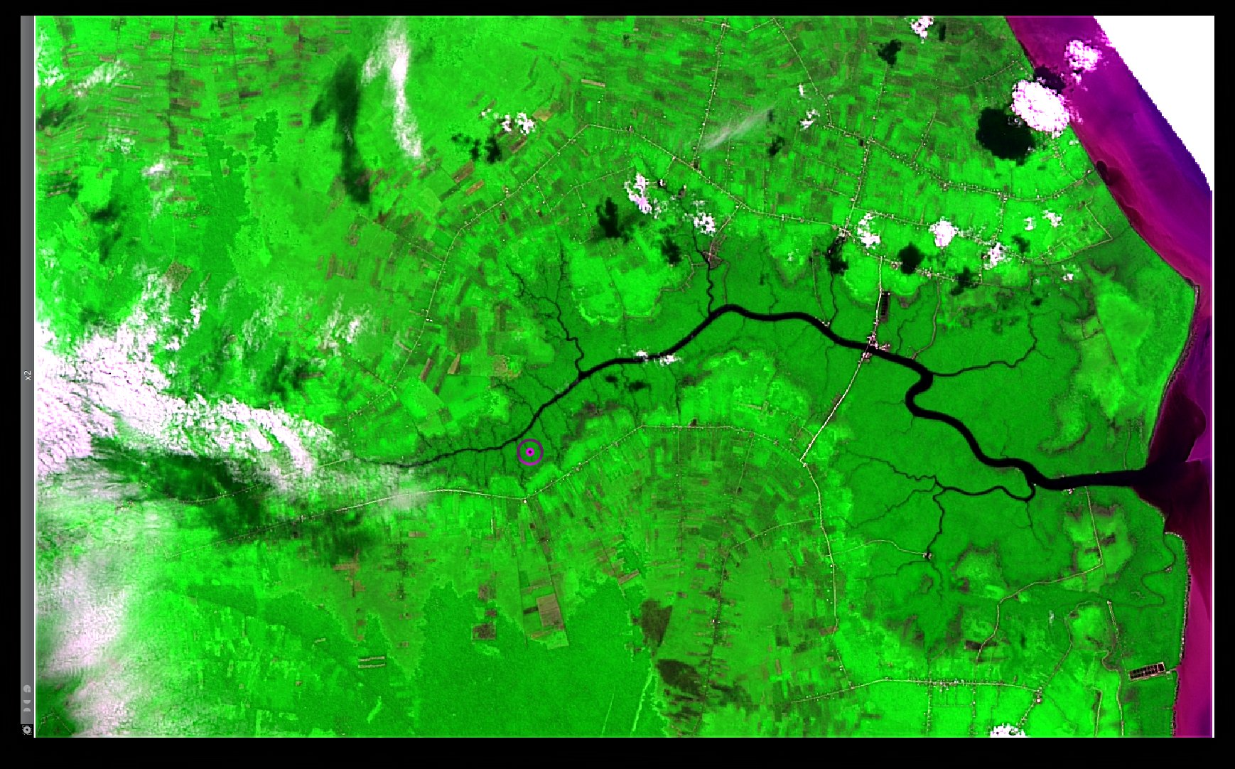
| 01:31, 15 November 2013 | Bengkalis Island Landsat8 HPFA Sharpened RGB Red NIR Blue Default Parameters.jpg (file) |  |
452 KB | ⚠️NikosA | A Pan-Sharpened RGB composite based on the Red, the NIR and the Blue multi-spectral bands, as well as the corresponding Panchromatic image of a Landsat 8 acquisition over the Bengkalis Island, Indonesia (LC81260592013137LGN01), merged via the High Pass... | 1 |
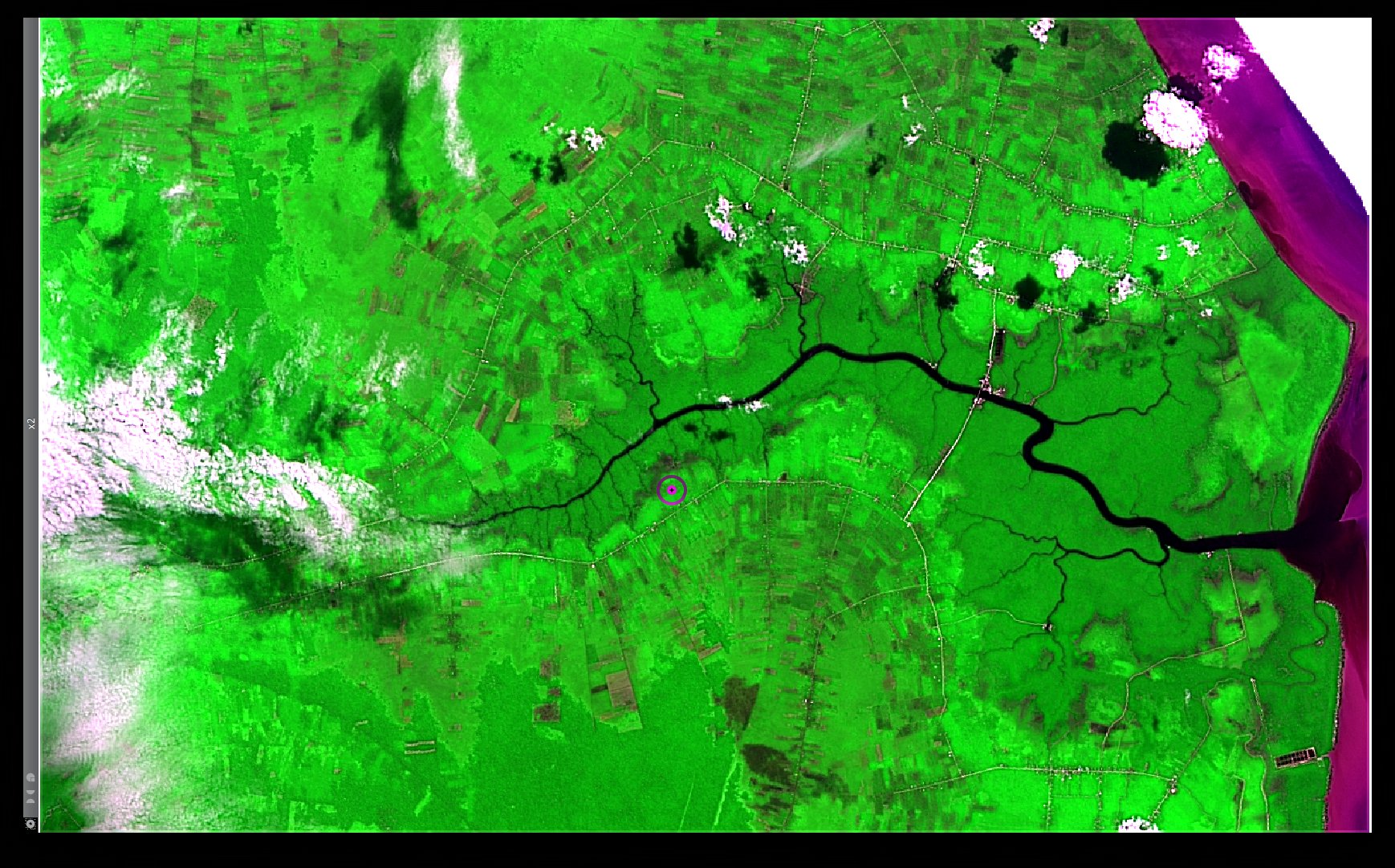
| 01:32, 15 November 2013 | Bengkalis Island Landsat8 HPFA Sharpened RGB Red NIR Blue Max Crispness.jpg (file) |  |
480 KB | ⚠️NikosA | A Pan-Sharpened RGB composite based on the Red, the NIR and the Blue multi-spectral bands, as well as the corresponding Panchromatic image of a Landsat 8 acquisition over the Bengkalis Island, Indonesia (LC81260592013137LGN01), merged via the High Pass... | 1 |
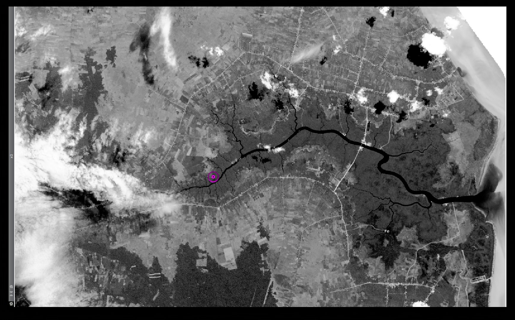
| 01:28, 15 November 2013 | Bengkalis Island Landsat8 Panchromatic.jpg (file) |  |
401 KB | ⚠️NikosA | A Panchromatic band of a Landsat 8 acquisition over the Bengkalis Island, Indonesia (LC81260592013137LGN01) | 1 |
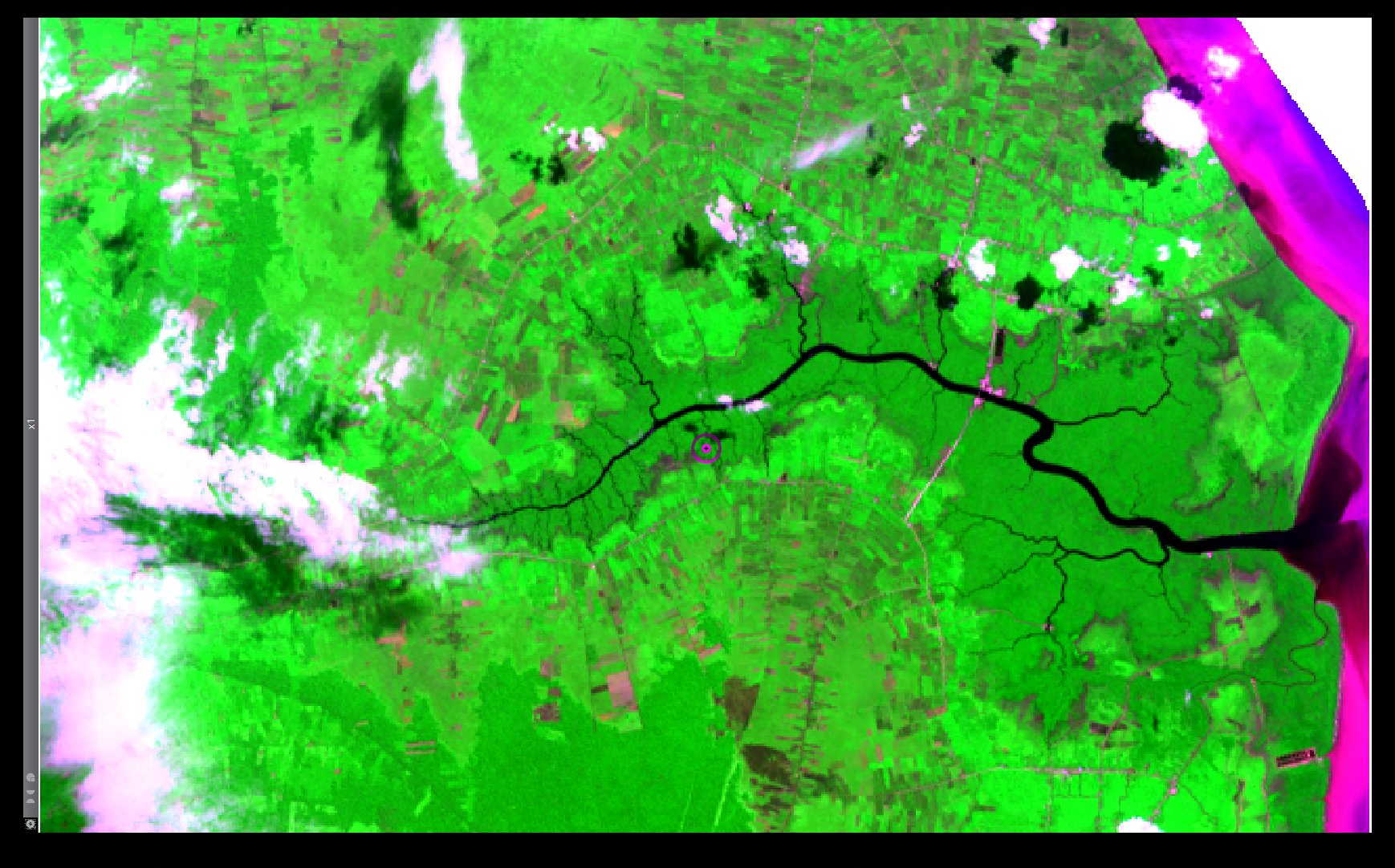
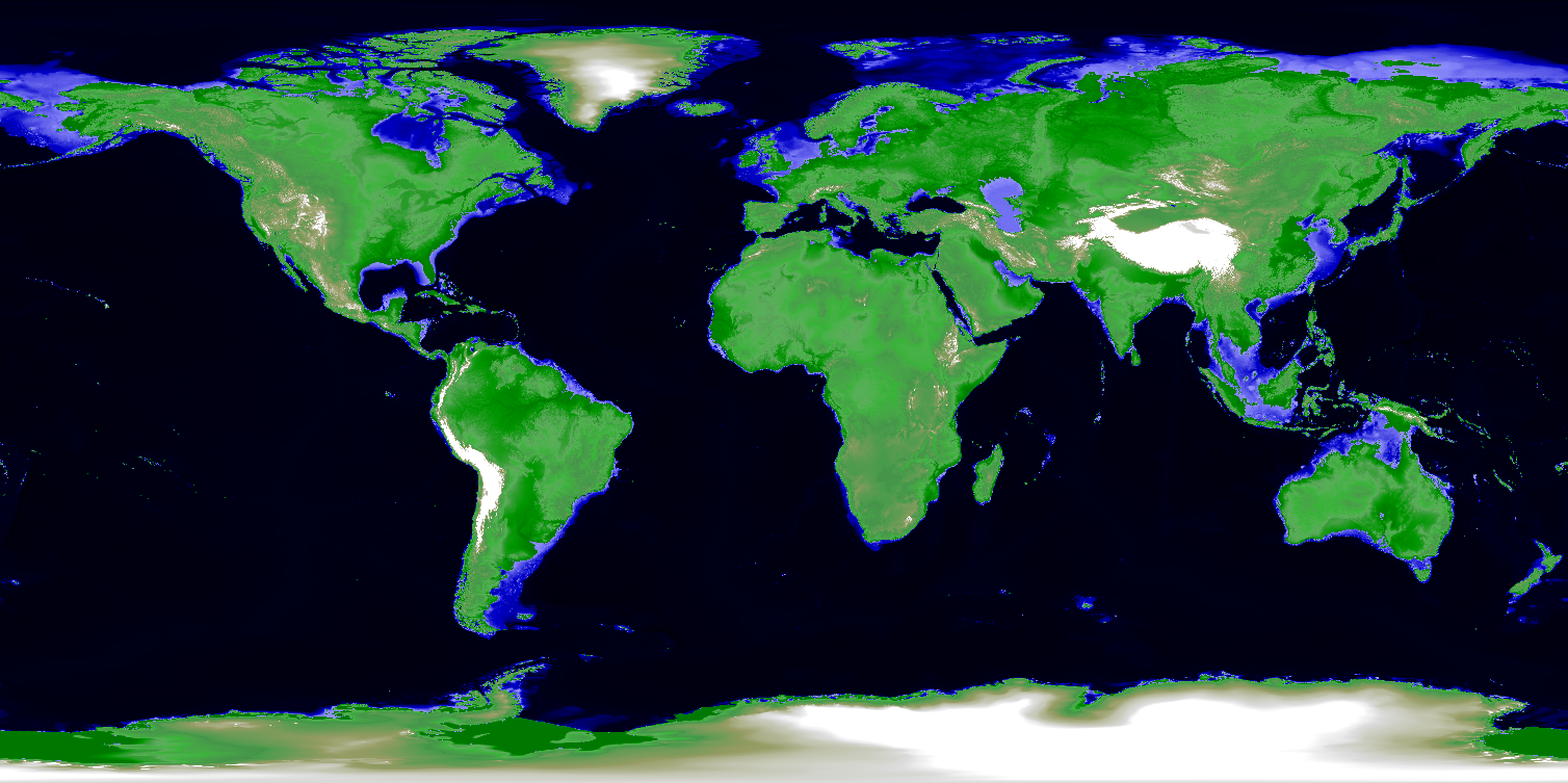
| 01:28, 15 November 2013 | Bengkalis Island Landsat8 RGB Red NIR Blue.jpg (file) |  |
378 KB | ⚠️NikosA | An RGB composite based on the Red, the NIR and the Blue multi-spectral bands of a Landsat 8 acquisition over the Bengkalis Island, Indonesia (LC81260592013137LGN01) | 1 |
| 11:55, 16 July 2012 | Benjamin.png (file) |  |
22 KB | Neteler | 1 | |
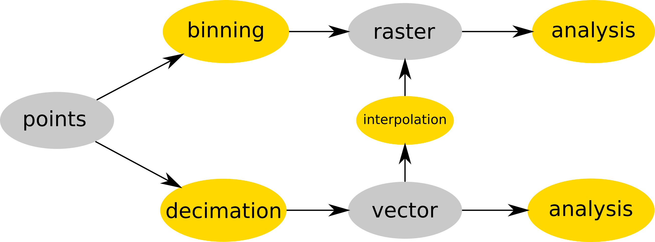
| 15:17, 19 July 2017 | Binning and decimation workflow schema for point clouds.png (file) |  |
127 KB | ⚠️Wenzeslaus | Point cloud is either binned into a raster map (e.g. r.in.lidar) and then analyzed (as raster) or (optionally) decimated (e.g. v.in.lidar), converted to vector map and then interpolated (e.g. v.surf.rst) into raster or analyzed as vector map (e.g. v.ve... | 1 |
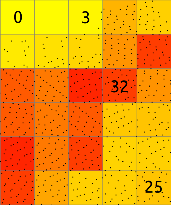
| 15:19, 19 July 2017 | Binning count explanation.png (file) |  |
54 KB | ⚠️Wenzeslaus | Explanation of binning of points into a 2D raster map. | 1 |
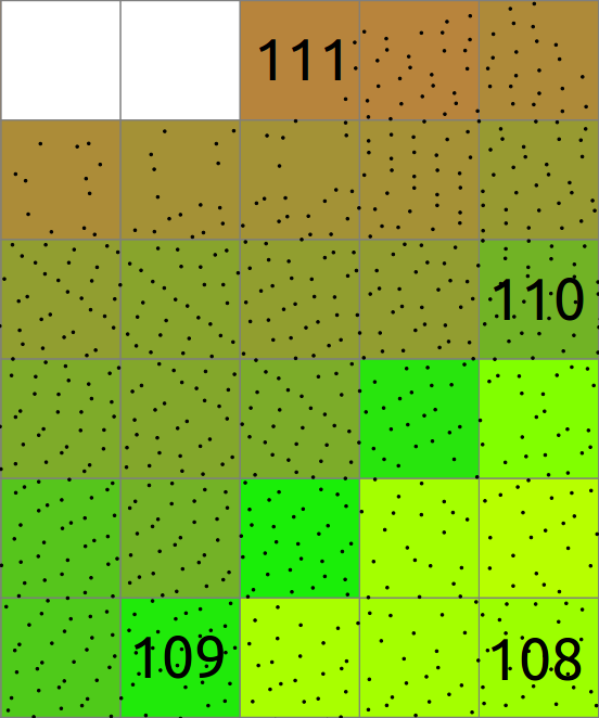
| 15:20, 19 July 2017 | Binning mean explanation.png (file) |  |
61 KB | ⚠️Wenzeslaus | Explanation of binning of points into a 2D raster map where resulting cell value is mean of point values. | 1 |
| 21:51, 22 June 2017 | Blender-plain.png (file) |  |
11 KB | Annakrat | Blender logo | 1 |
| 22:19, 3 February 2011 | Boundary-create.png (file) |  |
1 KB | ⚠️Landa | 1 | |
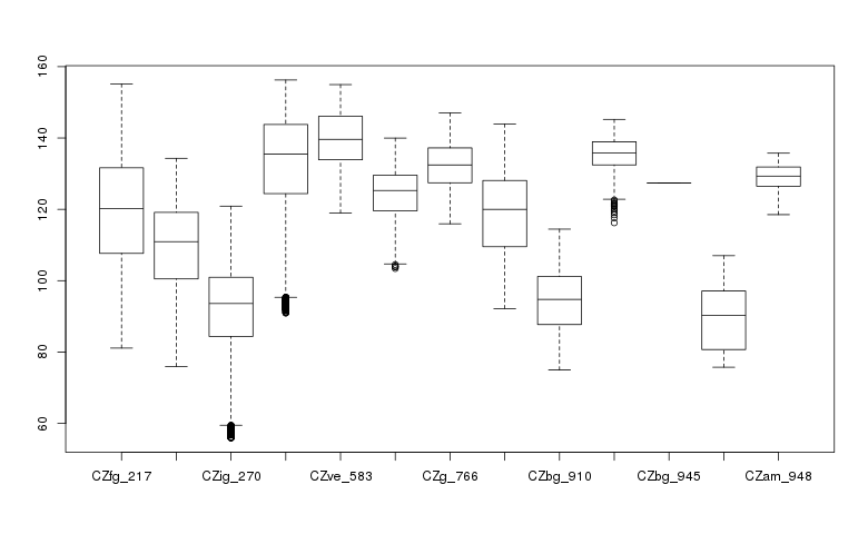
| 16:16, 19 July 2015 | Boxplot geo.png (file) |  |
8 KB | Veroandreo | 1 | |
| 08:04, 6 July 2009 | Btn donate SM.gif (file) |  |
1 KB | Neteler | Paypal donate button | 1 |
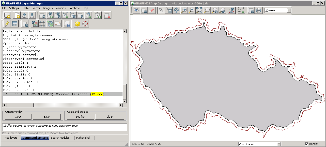
| 14:34, 19 December 2013 | Buffer-negative-distance.png (file) |  |
83 KB | ⚠️Landa | Vector buffer with negative distance | 1 |
| 06:45, 15 June 2006 | Bus.png (file) |  |
246 bytes | ⚠️Stephan | 1 | |
| 17:25, 26 November 2012 | CASAS logo.png (file) | 80 KB | ⚠️Lponti | 3 | ||
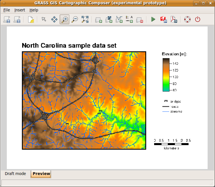
| 15:00, 15 February 2012 | CCPreview.png (file) |  |
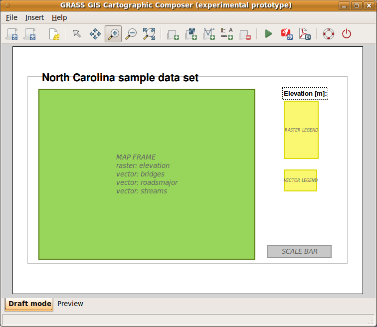
206 KB | Annakrat | wxGUI: Cartographic Composer - preview mode (<6.4.2) | 1 |
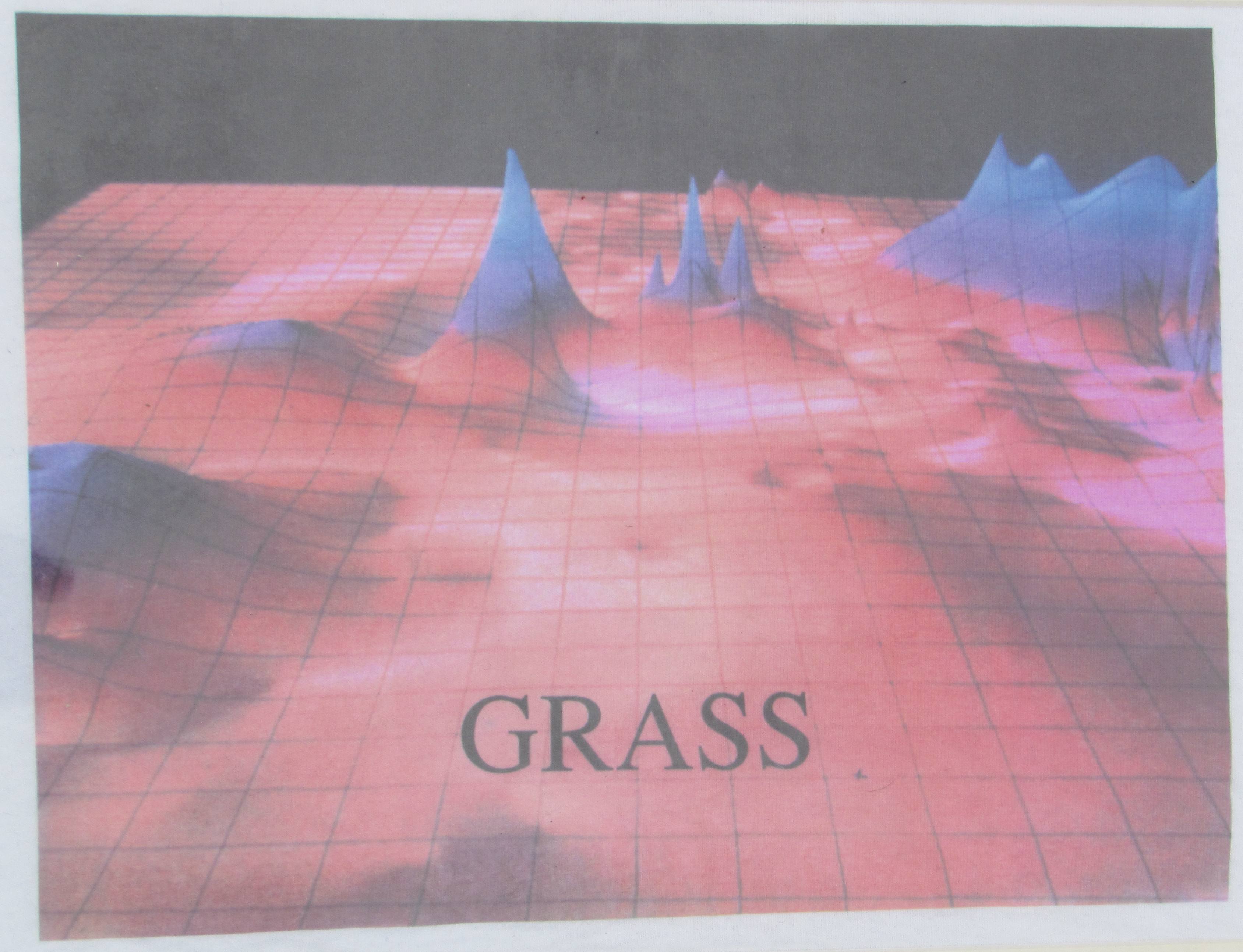
| 09:24, 3 September 2018 | CERL tshirt closeup late 1980s.jpg (file) |  |
580 KB | ⚠️Peter.loewe | E-Mail from Marji Larsson to Peter Löwe (1.9.2014, before FOSS4G 2014 in Portland, OR) "When we first began doing 3-D modeling (late 80's I think...) someone at CERL had some t-shirts printed up. I purchased one but have never worn it. I kept it in m... | 1 |
| 17:52, 14 April 2008 | Cairo-example.jpg (file) |  |
129 KB | ⚠️Landa | Cairo example | 1 |
| 14:49, 15 February 2012 | CartographicComposer.png (file) |  |
42 KB | Annakrat | 2 | |
| 10:33, 7 February 2011 | Cat-display.png (file) |  |
394 bytes | ⚠️Landa | 1 | |
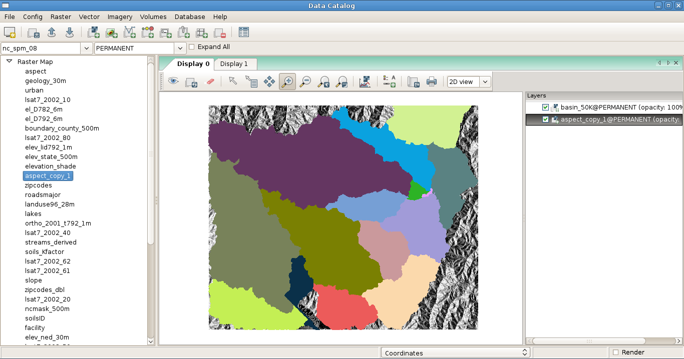
| 17:47, 3 February 2010 | Catalog.png (file) |  |
228 KB | ⚠️Rashadkm | GRASS GIS DataCatalog | 1 |
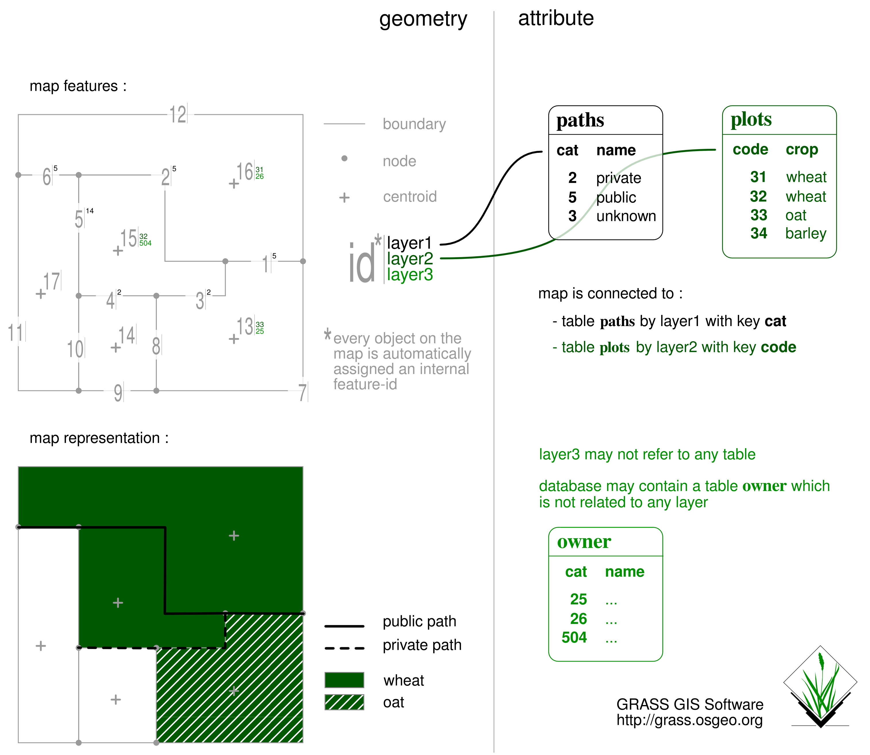
| 07:55, 4 May 2013 | Catsnlayers.png (file) |  |
511 KB | ⚠️Vincent | a synthetic sketch exposing the grass vector geometric/thematic management model | 1 |
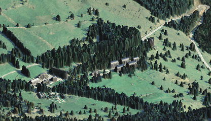
| 10:32, 4 April 2009 | Cea bondone ortho lidar dsm small.png (file) |  |
216 KB | Neteler | Test upload (NVIZ) | 1 |
| 11:55, 16 July 2012 | Cedric.jpg (file) |  |
6 KB | Neteler | 1 | |
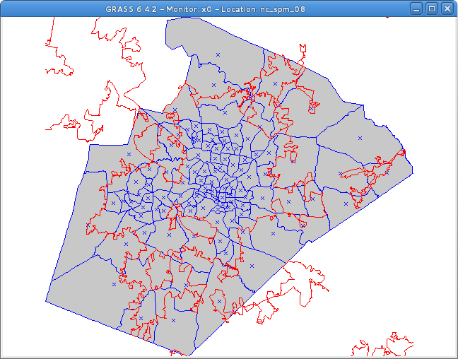
| 14:27, 26 July 2013 | Census and urban.png (file) |  |
33 KB | ⚠️Dmci | 1 | |
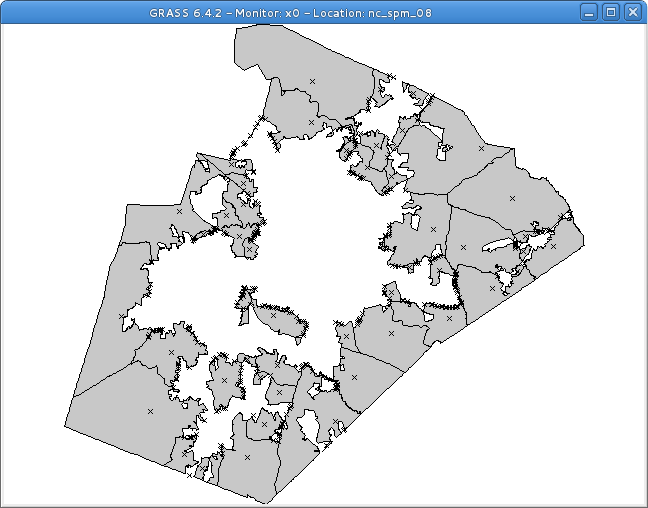
| 14:33, 26 July 2013 | Census urban clip.png (file) |  |
26 KB | ⚠️Dmci | 1 | |
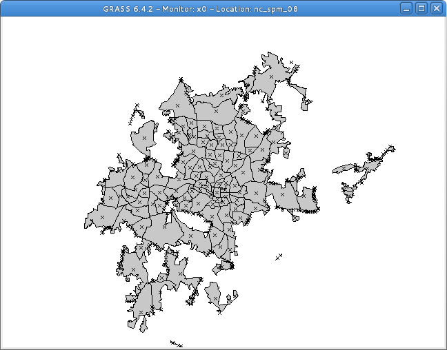
| 14:32, 26 July 2013 | Census urban intersect.png (file) |  |
28 KB | ⚠️Dmci | 1 | |
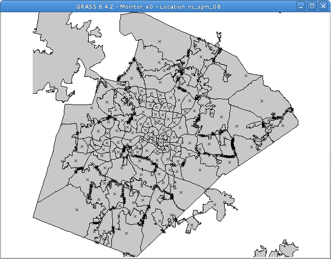
| 14:31, 26 July 2013 | Census urban union.png (file) |  |
34 KB | ⚠️Dmci | 1 | |
| 22:28, 3 February 2011 | Centroid-create.png (file) |  |
1 KB | ⚠️Landa | 1 | |
| 10:11, 17 February 2015 | Cesia.png (file) |  |
9 KB | ⚠️Elena84m | 1 | |
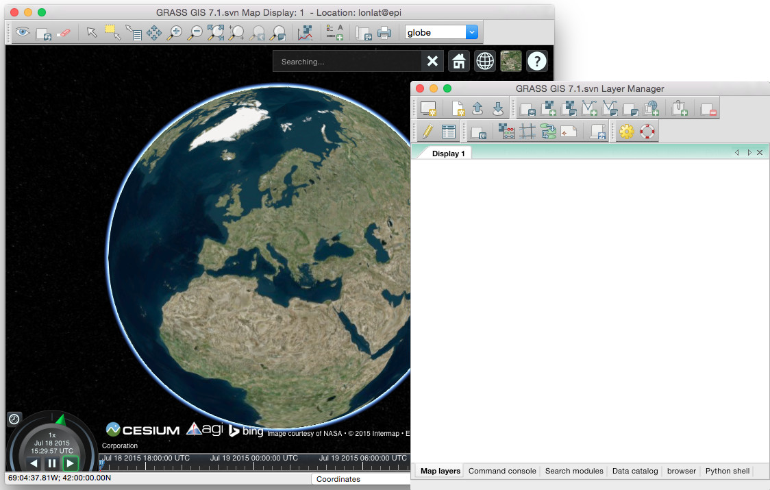
| 16:07, 18 July 2015 | Cesium globe in GRASS GIS.jpg (file) |  |
171 KB | Annakrat | First steps in integration Cesium virtual globe in GRASS GIS 7 | 1 |
| 22:35, 8 January 2010 | Chal3d i.gif (file) |  |
20 KB | ⚠️HamishBowman | 4d from Helena | 1 |
| 22:36, 8 January 2010 | Chal4d i.gif (file) |  |
23 KB | ⚠️HamishBowman | 4d from Helena | 1 |
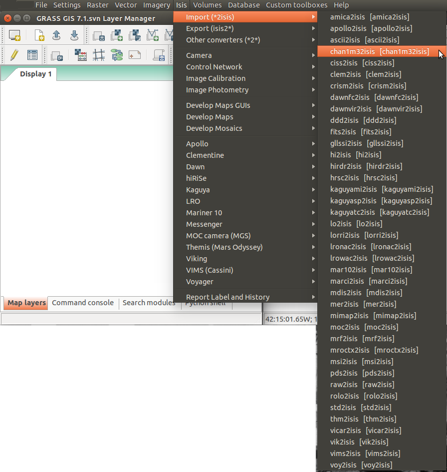
| 14:18, 18 May 2014 | Chan1m32isis Isis GRASS Menu.png (file) |  |
357 KB | ⚠️Ychemin | Using sheel script to create on-the-fly Isis Menu through the Toolbox option of wxGUI | 1 |
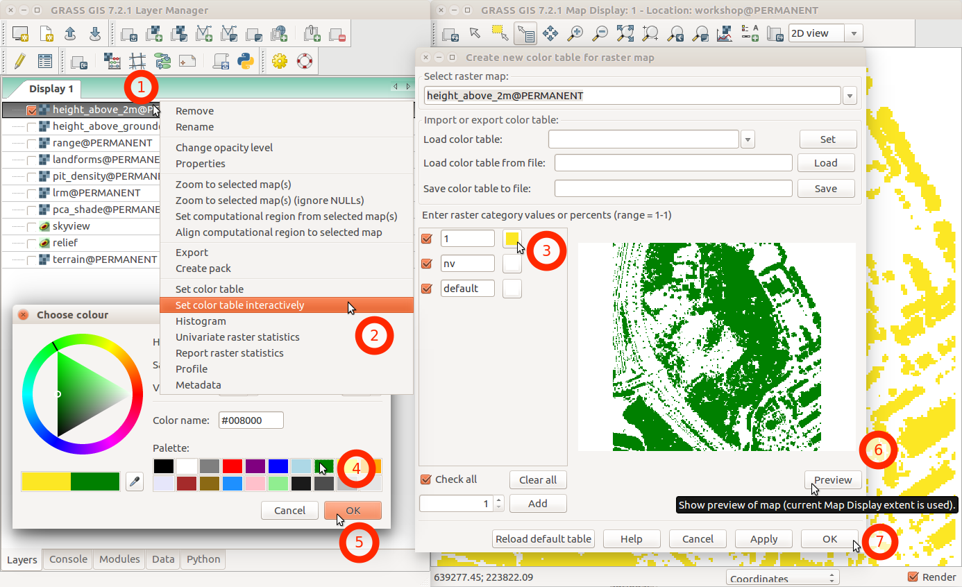
| 02:46, 1 August 2017 | Change color table interactively with menu and labels.png (file) |  |
231 KB | ⚠️Wenzeslaus | GRASS GIS 7.2 wxGUI dialog ''Create new color table for raster map'' started from layer context menu using ''Set color table interactively'' | 1 |
| 18:21, 15 October 2007 | Checkmark.png (file) |  |
178 bytes | ⚠️Landa | Resized, croped | 2 |
| 06:34, 26 November 2008 | Circross-overlay.png (file) |  |
699 bytes | ⚠️HamishBowman | overlay example 2 | 1 |
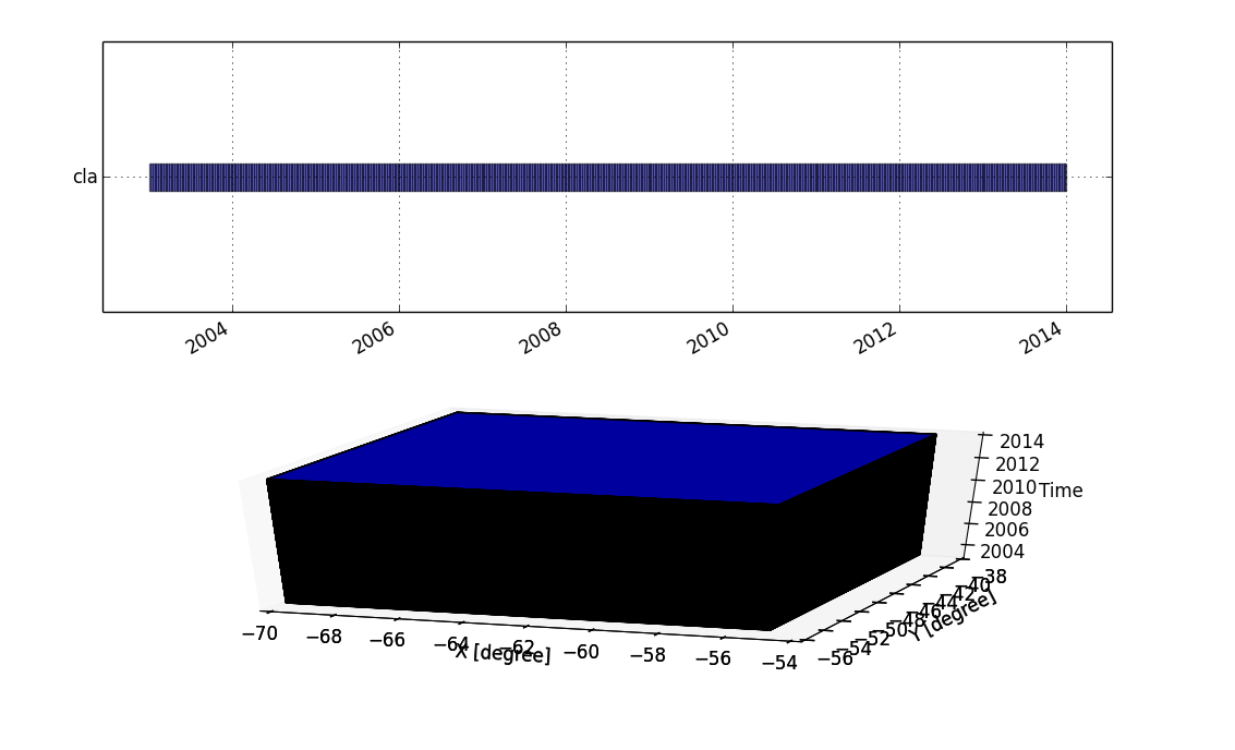
| 21:28, 23 August 2014 | Cla strds.png (file) |  |
53 KB | Veroandreo | 1 | |
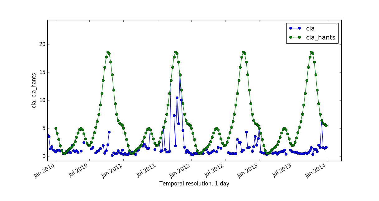
| 15:31, 17 February 2017 | Cla vs cla hants.png (file) |  |
75 KB | Veroandreo | 1 | |
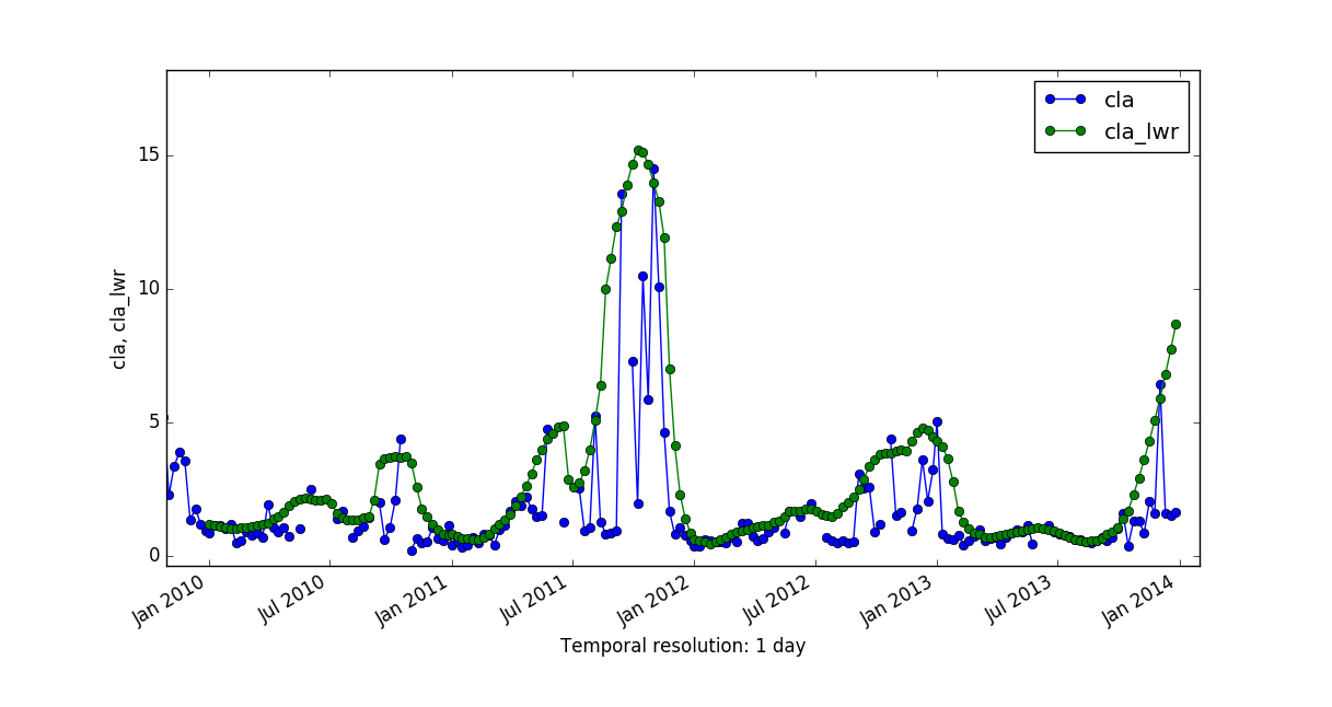
| 15:32, 17 February 2017 | Cla vs cla lwr.png (file) |  |
69 KB | Veroandreo | 1 | |
| 14:14, 11 October 2011 | CleanTOPO2 map.png (file) |  |
1.06 MB | Neteler | Rescaled map from http://www.shadedrelief.com/cleantopo2/#data | 1 |
| 13:49, 18 May 2019 | Codesprint 2019 b.jpg (file) |  |
95 KB | ⚠️Peter.loewe | 1 |