File list
Jump to navigation
Jump to search
This special page shows all uploaded files.
| Date | Name | Thumbnail | Size | User | Description | Versions |
|---|---|---|---|---|---|---|
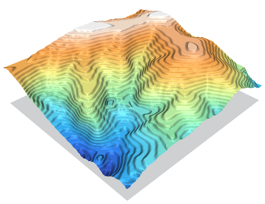
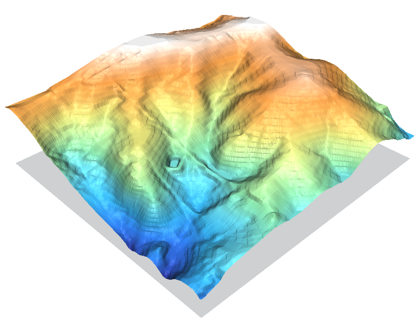
| 14:51, 27 February 2010 | Contour1m surf idw 036.png (file) |  |
404 KB | ⚠️HamishBowman | nc_spm_08 elev_lid792_cont1m contour to raster surface trials | 1 |
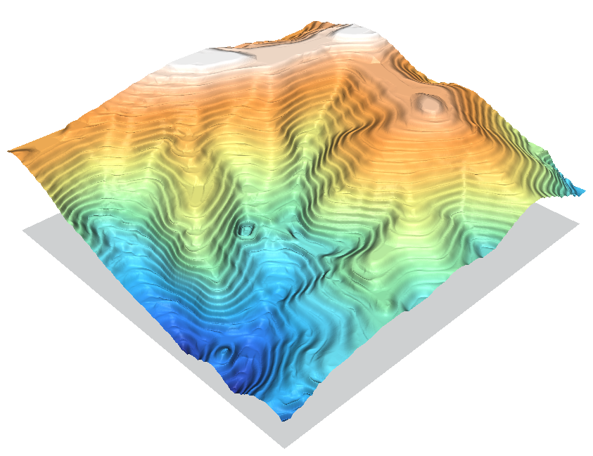
| 14:52, 27 February 2010 | Contour1m surf idw 064.png (file) |  |
411 KB | ⚠️HamishBowman | nc_spm_08 elev_lid792_cont1m contour to raster surface trials | 1 |
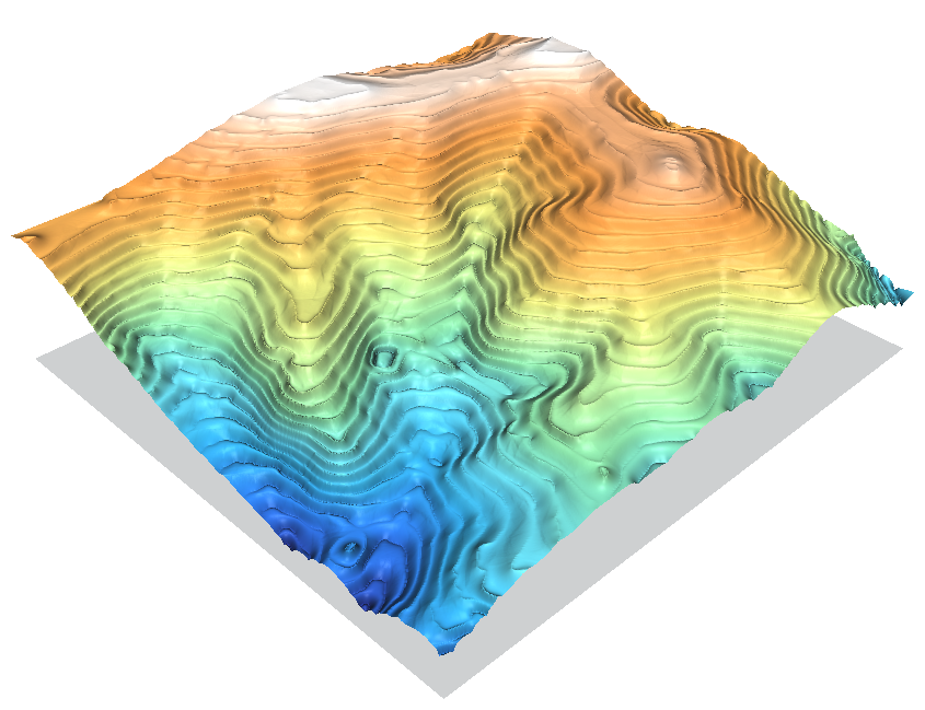
| 14:53, 27 February 2010 | Contour1m surf idw 250.png (file) |  |
413 KB | ⚠️HamishBowman | nc_spm_08 elev_lid792_cont1m contour to raster surface trials | 1 |
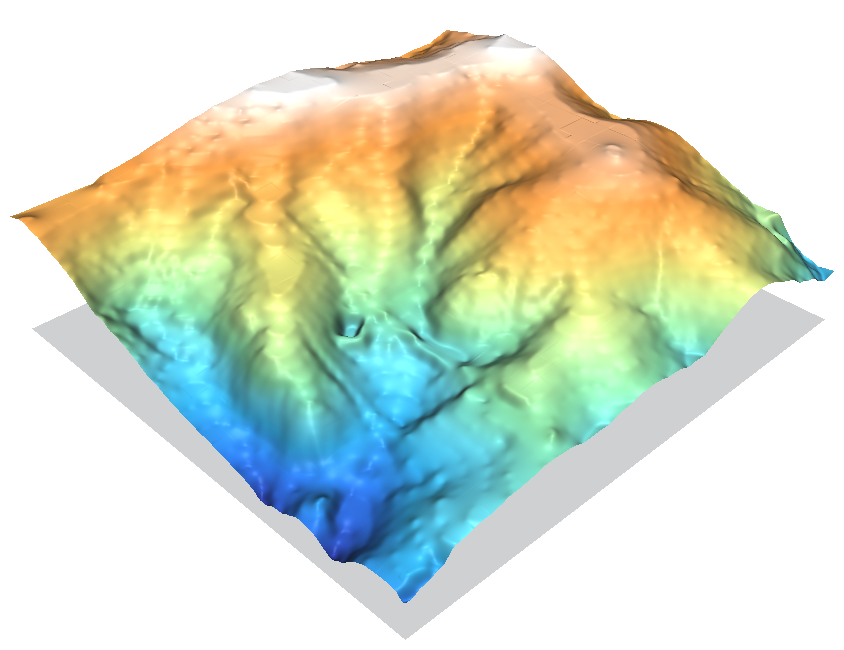
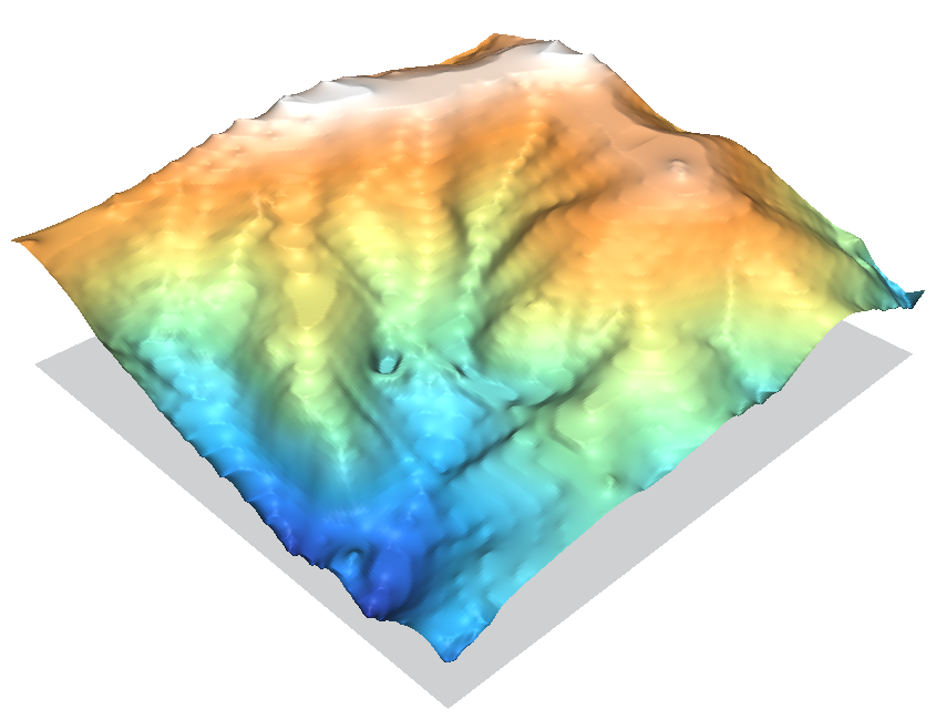
| 14:53, 27 February 2010 | Contour1m surf rst.png (file) |  |
290 KB | ⚠️HamishBowman | nc_spm_08 elev_lid792_cont1m contour to raster surface trials | 1 |
| 14:54, 27 February 2010 | Contour1m surf scontr.png (file) |  |
425 KB | ⚠️HamishBowman | nc_spm_08 elev_lid792_cont1m contour to raster surface trials | 1 |
| 00:14, 28 February 2010 | Contour1m vspline bic.png (file) |  |
268 KB | ⚠️HamishBowman | nc_spm_08 elev_lid792_cont1m contour to raster surface trials | 1 |
| 00:13, 28 February 2010 | Contour1m vspline bil.png (file) |  |
303 KB | ⚠️HamishBowman | nc_spm_08 elev_lid792_cont1m contour to raster surface trials | 1 |
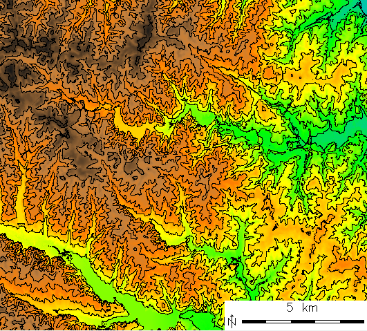
| 11:26, 2 September 2014 | Contour lines from DEM.png (file) |  |
323 KB | Neteler | 10m contour lines derived from elevation model (NC location) | 1 |
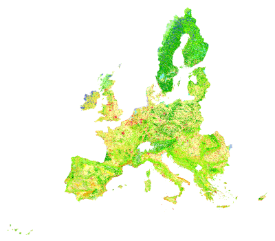
| 09:16, 11 August 2009 | Corine land cover 2000.png (file) |  |
85 KB | ⚠️NikosA | keep the 400pix version | 5 |
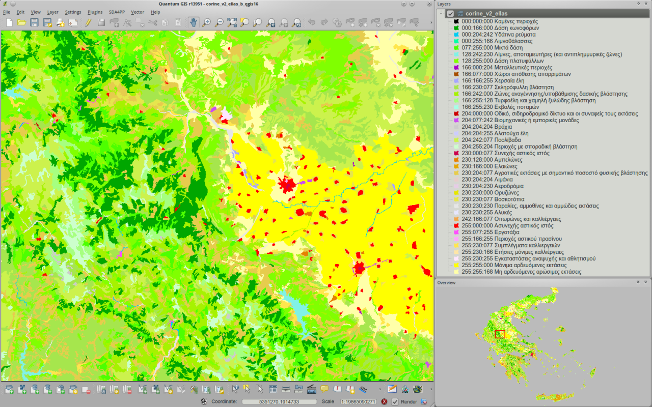
| 07:42, 23 July 2010 | Corine v2 greece viewed in qgis16 h800px.png (file) |  |
852 KB | ⚠️NikosA | The CORINE land cover (GRASS-GIS raster) map over Greece viewed within from QGIS | 1 |
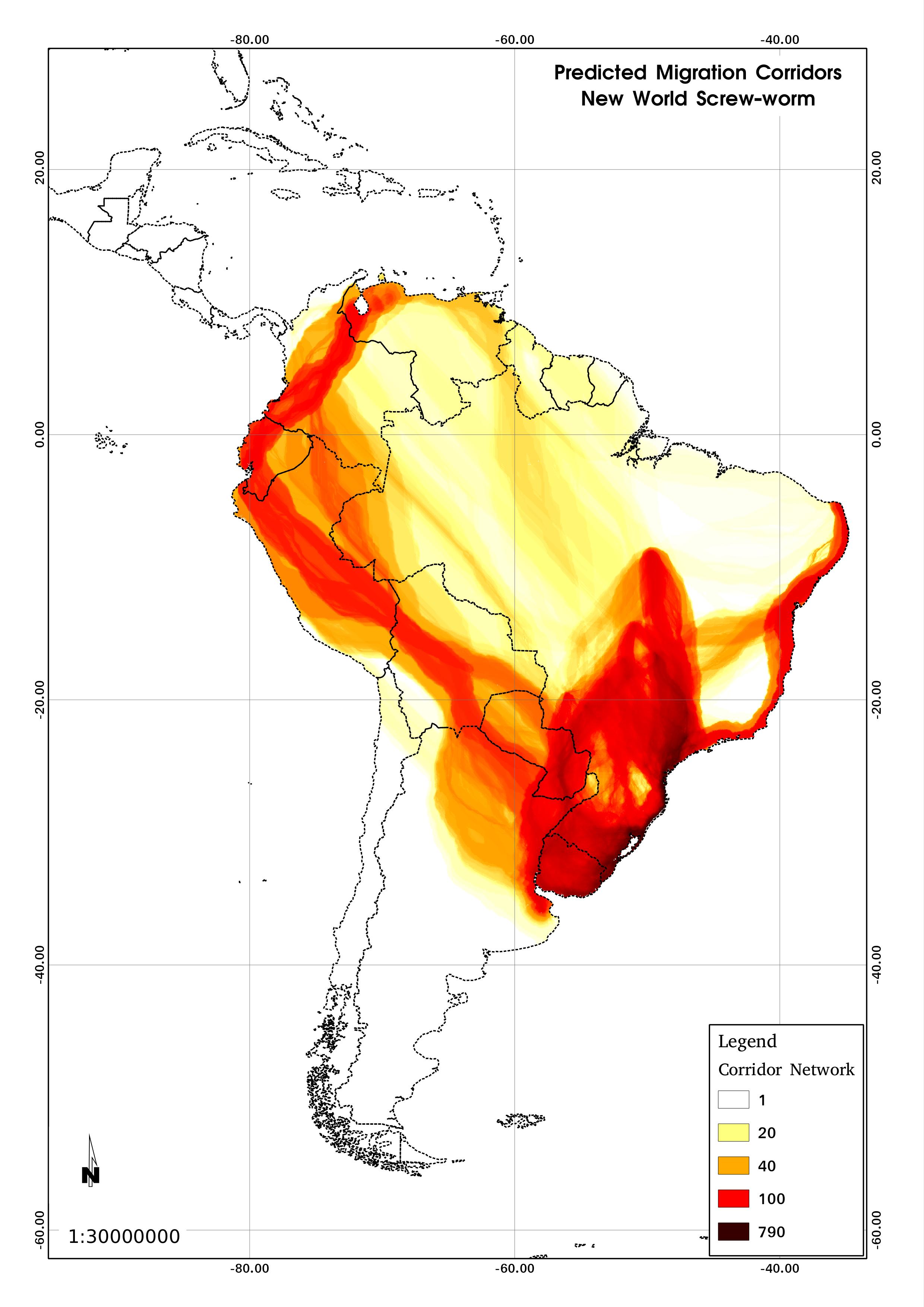
| 19:00, 3 December 2012 | Corridors.jpg (file) |  |
504 KB | ⚠️Micha | Predicted migration corridors for NWS in S. America | 1 |
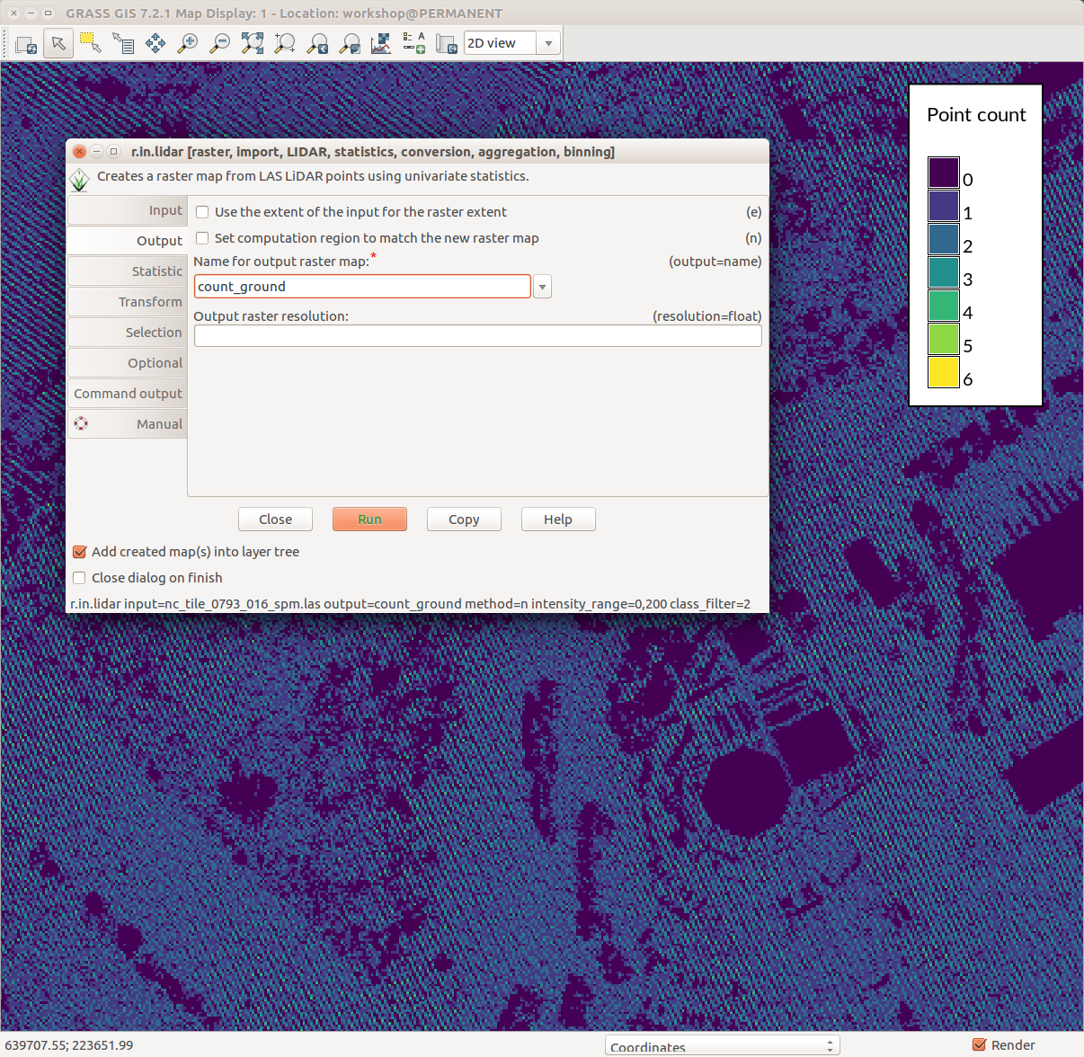
| 19:16, 1 August 2017 | Counting ground points per cell with r.in.lidar.png (file) |  |
231 KB | ⚠️Wenzeslaus | GRASS GIS 7.2 wxGUI Map Display, legend with d.legend, r.in.lidar dialog, ground point density pattern in the background | 1 |
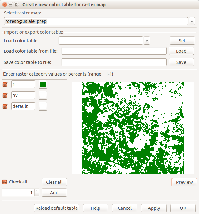
| 19:23, 24 March 2017 | Create new color table for raster map forest.png (file) |  |
53 KB | ⚠️Wenzeslaus | Dialog for interactive change of color table with preview r.mapcalc "forest = if(landclass96 == 5, 1, null())" | 1 |
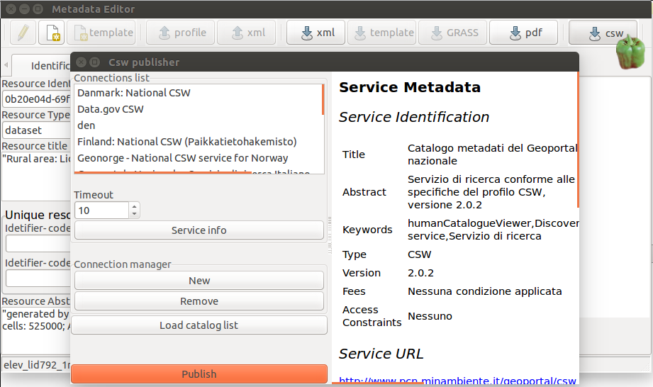
| 13:21, 21 August 2015 | Csw publisher.png (file) |  |
120 KB | ⚠️Krejcmat | 1 | |
| 19:27, 21 June 2017 | Cumulative viewshed.png (file) |  |
1.34 MB | Annakrat | Cumulative viewshed computed from views along a road. | 1 |
| 20:28, 19 July 2017 | Cumulative viewshed elevation.png (file) |  |
1.08 MB | Annakrat | Cumulative viewshed draped over elevation raster (Boston 2017 workshop) | 1 |
| 03:20, 30 March 2012 | CygwinX11 icon.png (file) | 5 KB | ⚠️HamishBowman | cygwin's x-server icon example | 1 | |
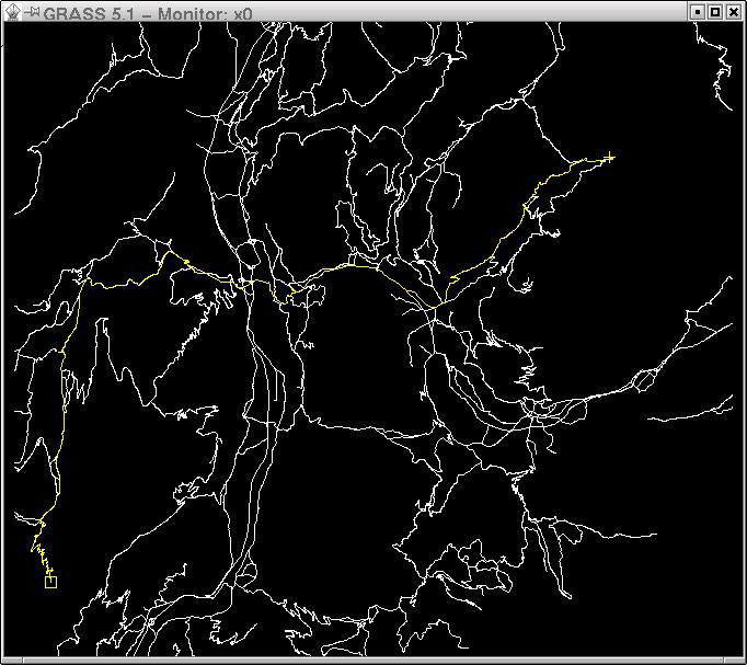
| 07:55, 21 February 2007 | D.path-small.jpg (file) |  |
7 KB | ⚠️HamishBowman | Radim's d.path example (small) | 1 |
| 07:55, 21 February 2007 | D.path.jpg (file) |  |
76 KB | ⚠️HamishBowman | Radim's d.path screenshot | 1 |
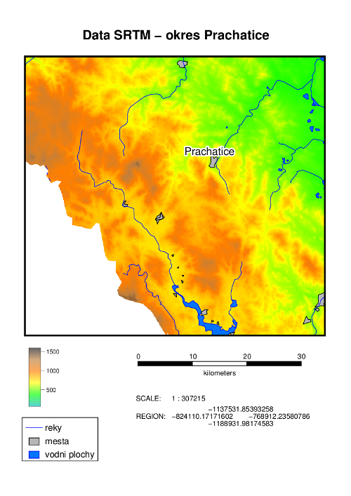
| 20:05, 30 September 2011 | DEM SRTM.png (file) |  |
175 KB | Annakrat | An example of hardcopy map output created by Cartographic Composer. | 1 |
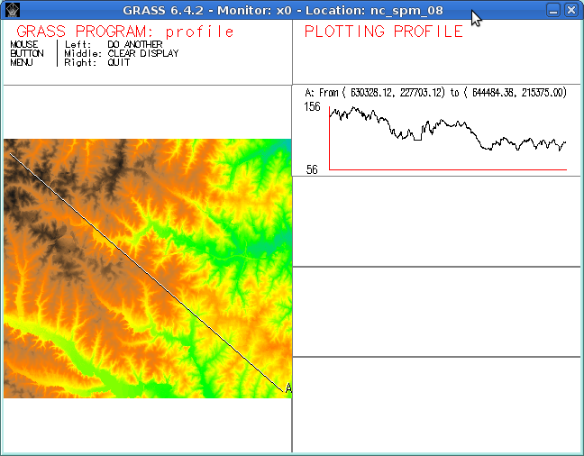
| 21:20, 5 August 2013 | D profile.png (file) |  |
110 KB | ⚠️Dmci | 1 | |
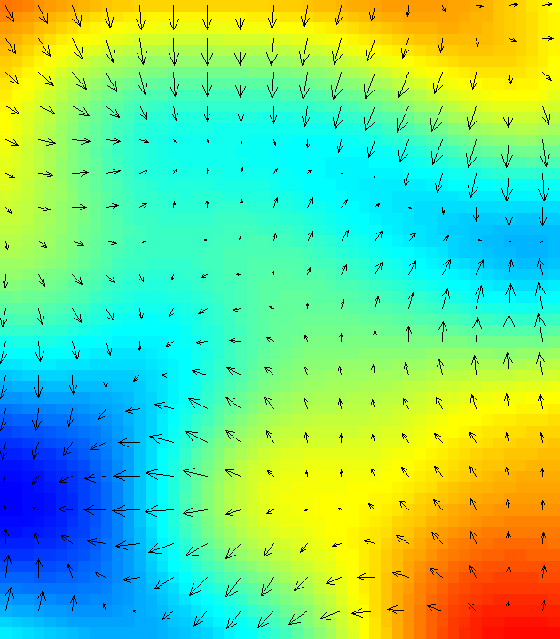
| 03:54, 9 October 2007 | D rast arrow magnitude.png (file) | 18 KB | ⚠️HamishBowman | screenshot of d.rast.arrow in action with dynamic arrow direction and size. Screenshot by Hamish Bowman, licensed with the Creative Commons Attribution ShareAlike 2.5 License. | 1 | |
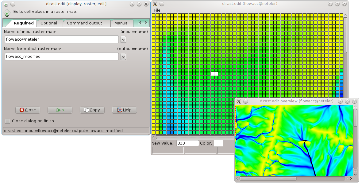
| 21:33, 30 May 2012 | D rast edit grass7.png (file) |  |
198 KB | Neteler | Raster map editor in GRASS 7 | 1 |
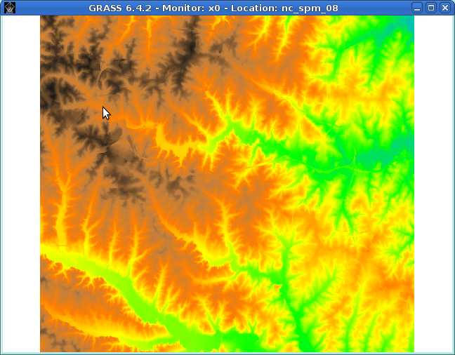
| 21:17, 5 August 2013 | D rast elevation.png (file) |  |
307 KB | ⚠️Dmci | 2 | |
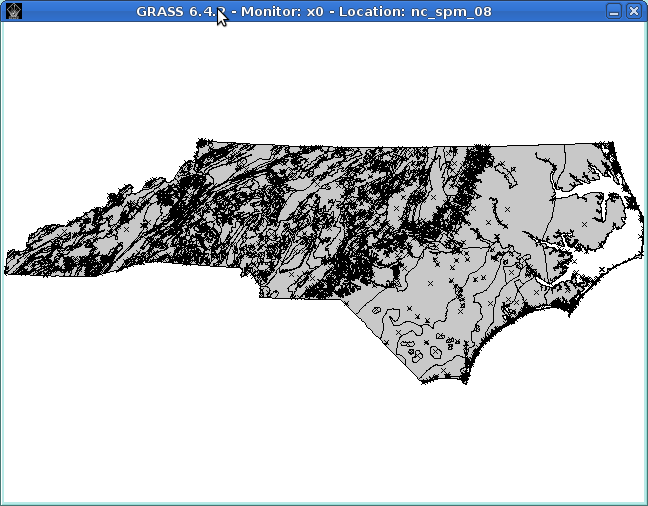
| 21:38, 5 August 2013 | D vect.png (file) |  |
31 KB | ⚠️Dmci | 1 | |
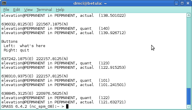
| 21:17, 5 August 2013 | D what rast.png (file) |  |
34 KB | ⚠️Dmci | 1 | |
| 21:38, 5 August 2013 | D what vect.png (file) |  |
14 KB | ⚠️Dmci | 1 | |
| 09:46, 12 August 2006 | Dassau.png (file) |  |
10 KB | ⚠️Jachym | Otto Dassau | 1 |
| 22:03, 24 November 2010 | Data-select.png (file) |  |
994 bytes | ⚠️RobertSzczepanek | 1 | |
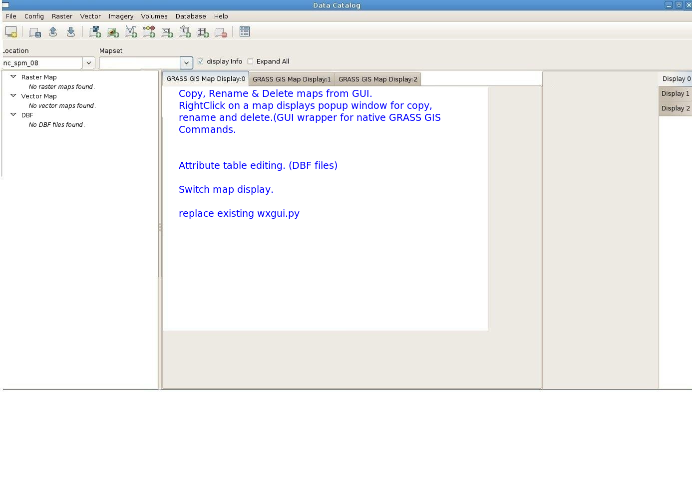
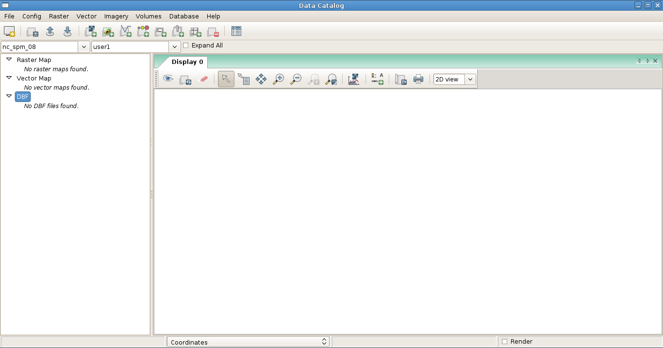
| 14:56, 27 January 2010 | Data catalog 1.png (file) |  |
691 KB | ⚠️Rashadkm | 2 | |
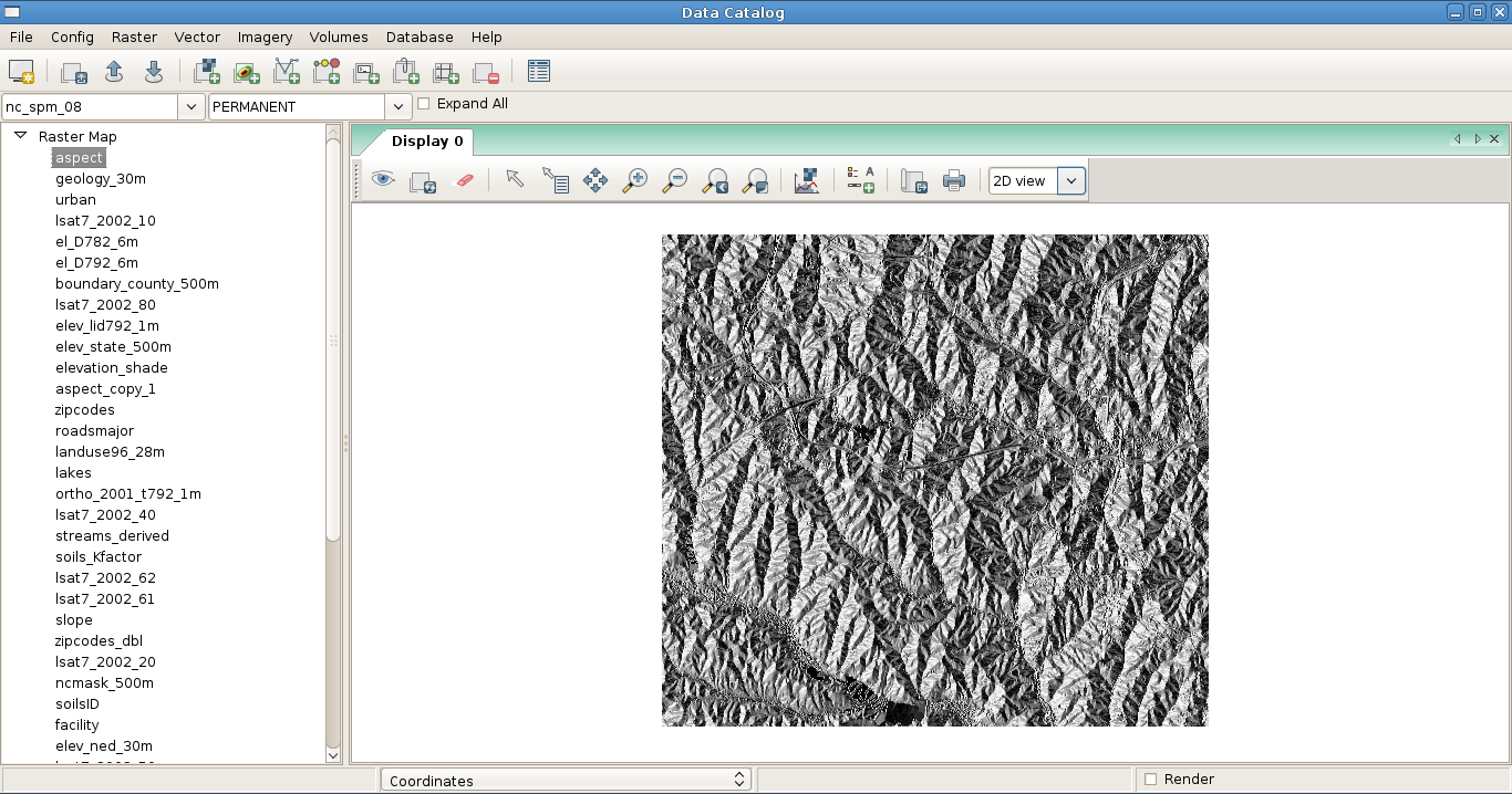
| 14:47, 22 January 2010 | Data catalog 2.png (file) |  |
177 KB | ⚠️Rashadkm | 1 | |
| 15:02, 27 January 2010 | Data catalog 4.png (file) |  |
691 KB | ⚠️Rashadkm | data catalog with simple map display | 1 |
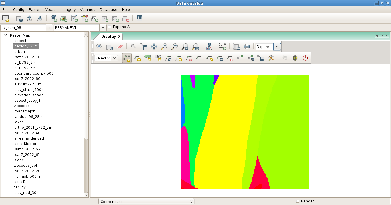
| 15:04, 27 January 2010 | Data catalog 5.png (file) |  |
80 KB | ⚠️Rashadkm | data catalog with vector digitizer tool & map display | 1 |
| 15:05, 27 January 2010 | Data catalog 6.png (file) |  |
45 KB | ⚠️Rashadkm | data catalog with no map layers | 1 |
| 11:55, 16 July 2012 | DaveSampson.png (file) |  |
39 KB | Neteler | 1 | |
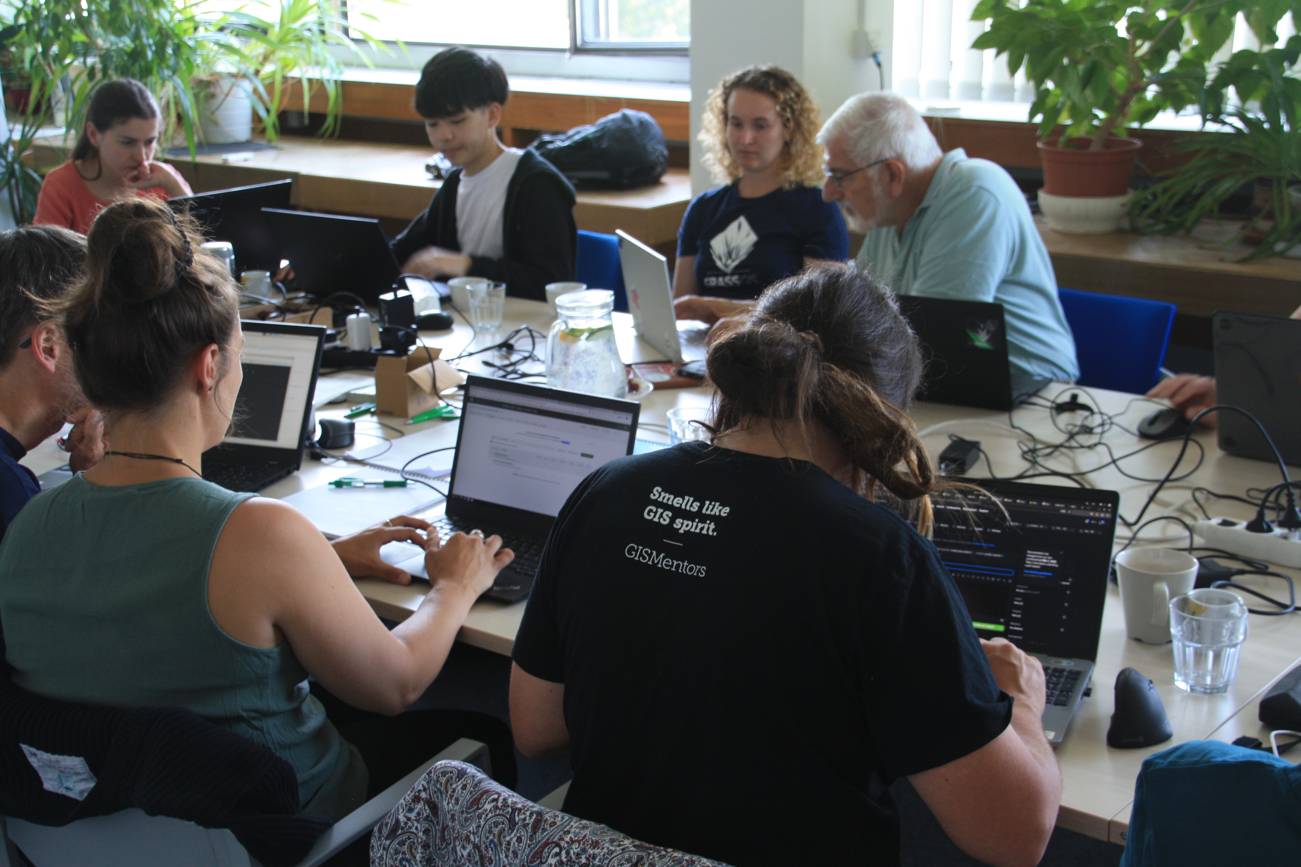
| 09:07, 4 June 2023 | Day2-collaboration.jpg (file) |  |
3.53 MB | ⚠️Chaedrich | 1 | |
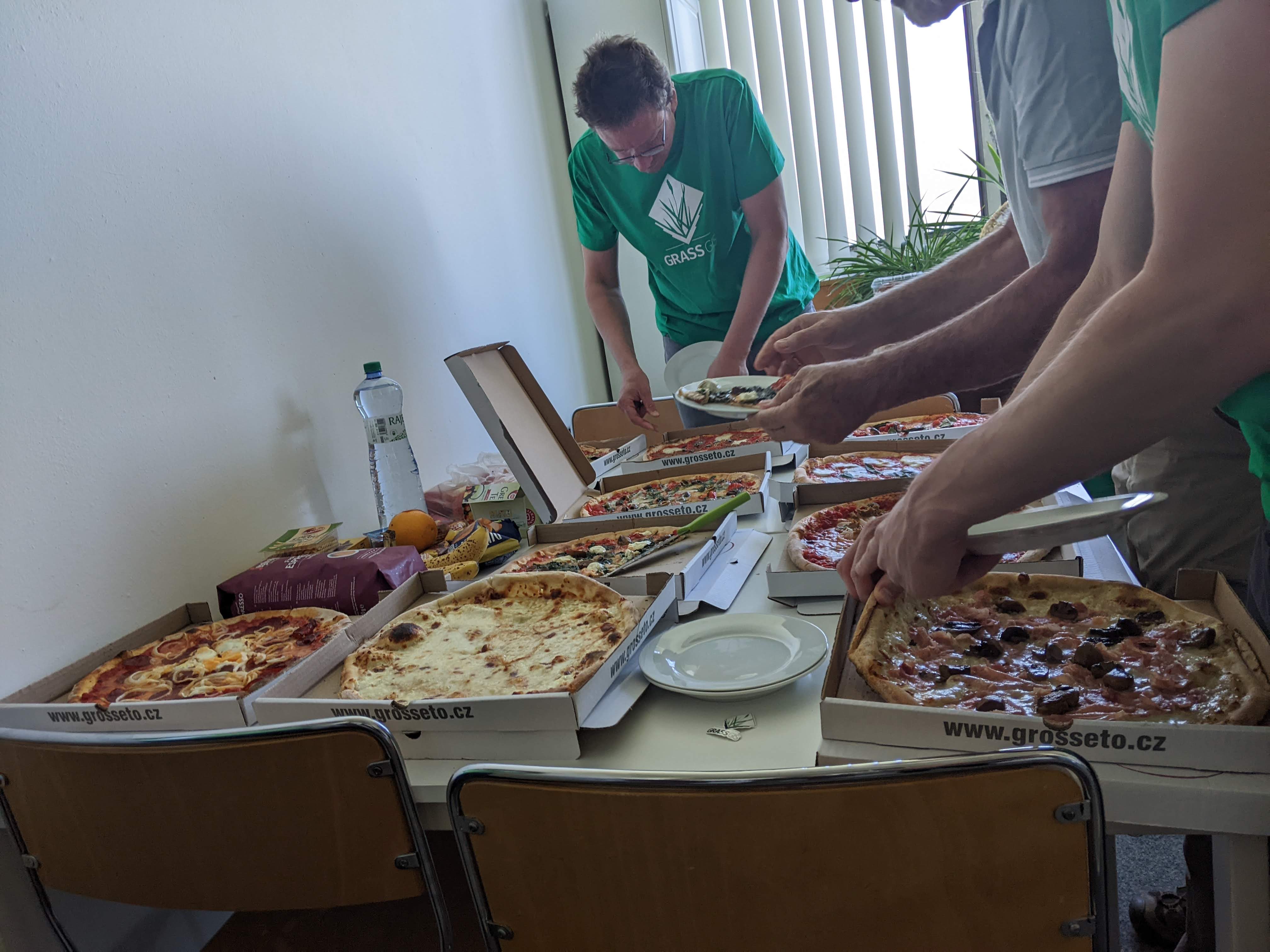
| 09:03, 4 June 2023 | Day2-pizza.jpg (file) |  |
605 KB | ⚠️Chaedrich | 1 | |
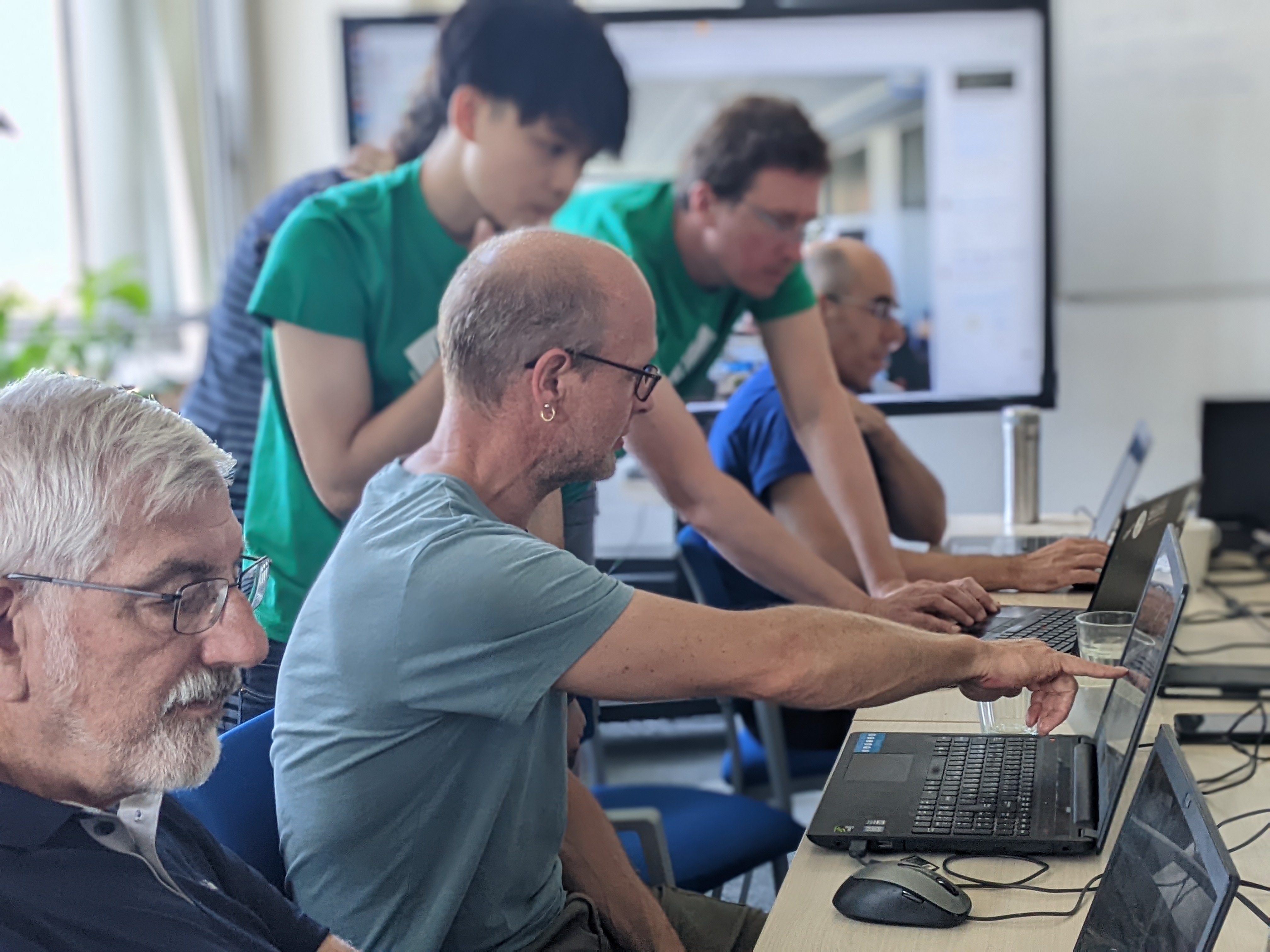
| 09:47, 5 June 2023 | Day3-collaboration.jpg (file) |  |
2.52 MB | ⚠️Chaedrich | 1 | |
| 09:46, 5 June 2023 | Day3-table.jpg (file) |  |
1.17 MB | ⚠️Chaedrich | 1 | |
| 09:44, 5 June 2023 | Day3-working.jpg (file) |  |
588 KB | ⚠️Chaedrich | 1 | |
| 17:57, 6 January 2011 | Db-connect-schema.png (file) |  |
1 KB | ⚠️RobertSzczepanek | 1 | |
| 22:46, 17 November 2010 | Db-connect.png (file) |  |
1 KB | ⚠️RobertSzczepanek | 1 | |
| 22:52, 17 November 2010 | Db-copy.png (file) |  |
1 KB | ⚠️RobertSzczepanek | 1 | |
| 22:53, 17 November 2010 | Db-execute.png (file) |  |
1 KB | ⚠️RobertSzczepanek | 1 | |
| 22:02, 24 November 2010 | Db-export.png (file) |  |
1 KB | ⚠️RobertSzczepanek | 1 | |
| 22:00, 24 November 2010 | Db-import.png (file) |  |
1 KB | ⚠️RobertSzczepanek | 1 | |
| 22:53, 17 November 2010 | Db-login.png (file) |  |
1 KB | ⚠️RobertSzczepanek | 1 | |
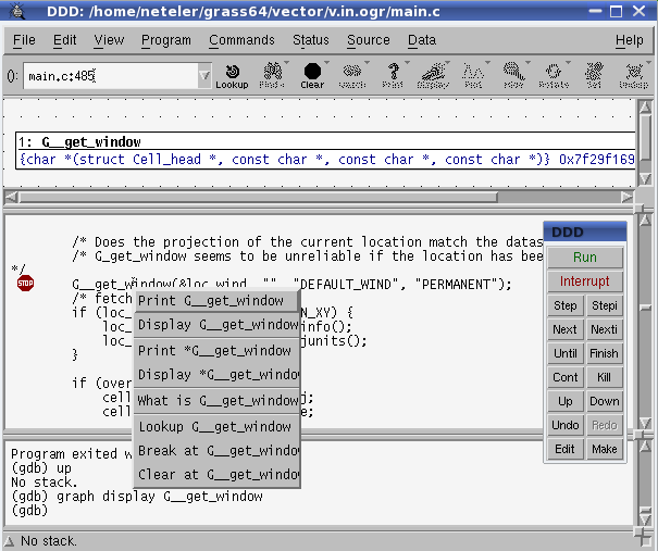
| 14:35, 5 May 2009 | Ddd display vars.png (file) |  |
21 KB | Neteler | ddd display variables | 1 |
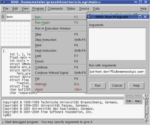
| 14:28, 5 May 2009 | Ddd run1.png (file) |  |
23 KB | Neteler | ddd define arguments | 1 |
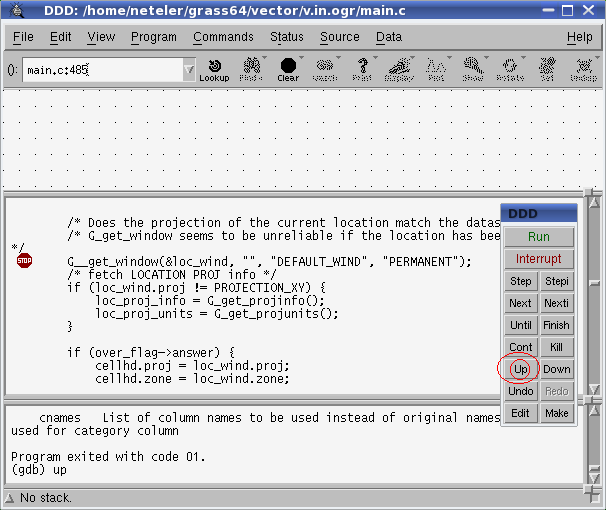
| 14:33, 5 May 2009 | Ddd run2.png (file) |  |
20 KB | Neteler | ddd up | 1 |