File list
Jump to navigation
Jump to search
This special page shows all uploaded files.
| Date | Name | Thumbnail | Size | User | Description | Versions |
|---|---|---|---|---|---|---|
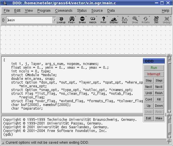
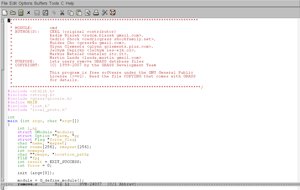
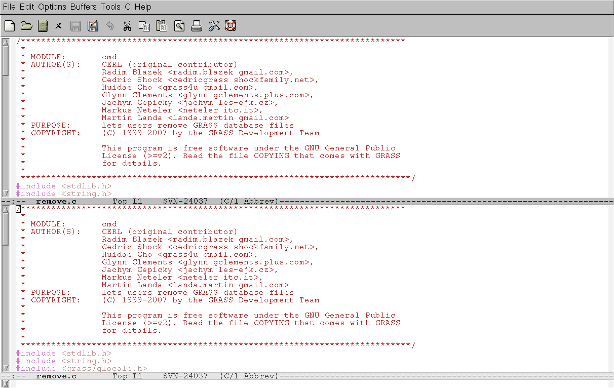
| 14:21, 5 May 2009 | Ddd startup.png (file) |  |
21 KB | Neteler | 1 | |
| 08:33, 13 February 2008 | Debian073-grass.jpg (file) |  |
136 KB | ⚠️Jachym | GRASS Wallpaper based on old Debian one. | 1 |
| 18:57, 14 March 2019 | DepthFiltering.png (file) |  |
1.22 MB | ⚠️Kellynm | 1 | |
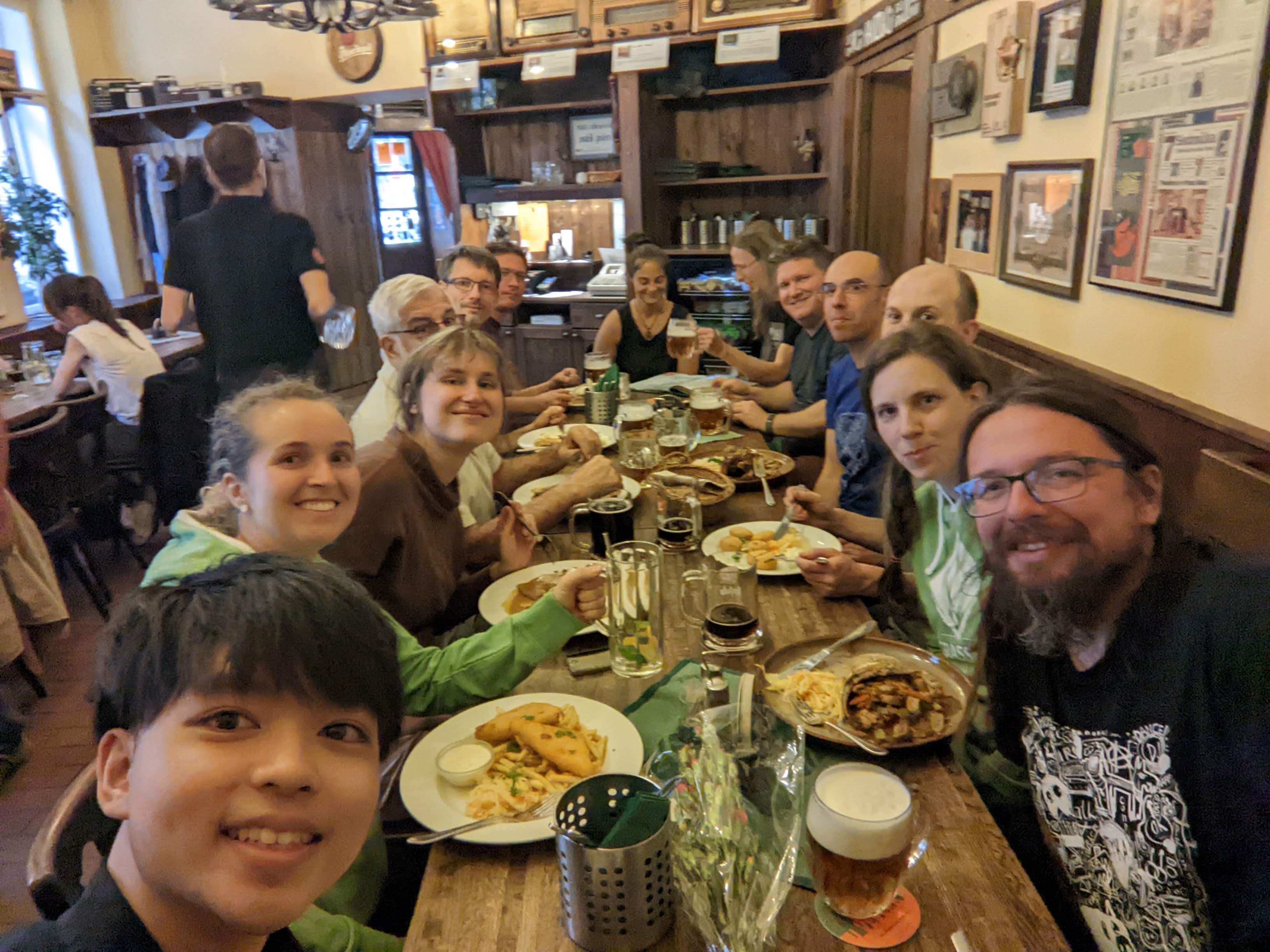
| 07:50, 3 June 2023 | Devs at work.jpg (file) |  |
1.1 MB | ⚠️Chaedrich | 1 | |
| 13:38, 24 February 2015 | DidatticaOpenGIS Mezzini.pdf (file) | 540 KB | ⚠️Elena84m | 1 | ||
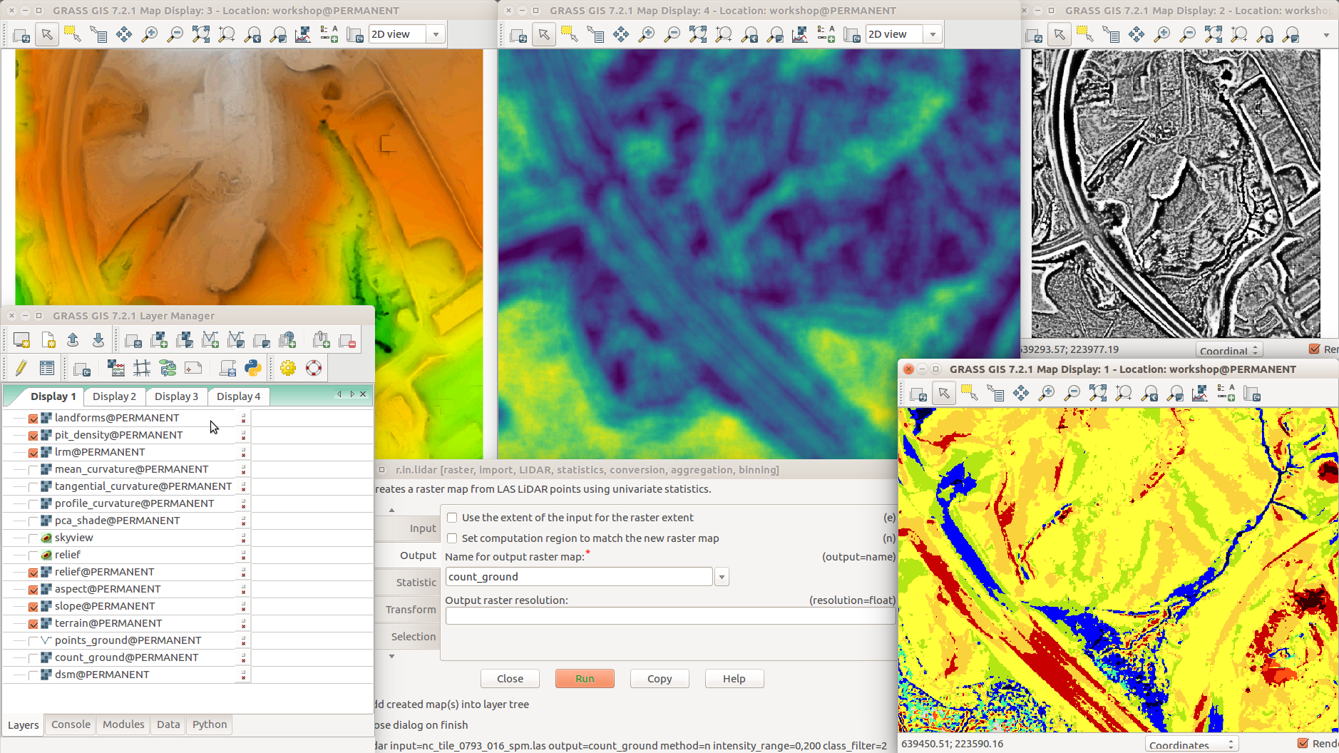
| 02:05, 1 August 2017 | Different terrain analyses and visualizations in multiple Map Displays.png (file) |  |
1,014 KB | ⚠️Wenzeslaus | GRASS GIS 7.2 with various addons r.skyview + d.shade (top left) r.terrain.texture (pit density, top middle) r.local.relief (LRM, top right) Layer Manager, Layers tab (bottom left) r.in.lidar (dialog, bottom middle) r.geomorphon (landforms, bottom right) | 1 |
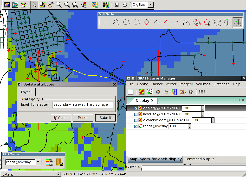
| 14:20, 4 October 2007 | Digit-01.png (file) |  |
76 KB | ⚠️Landa | 1 | |
| 07:56, 3 June 2023 | Dinner day 1.jpg (file) |  |
559 KB | ⚠️Chaedrich | 1 | |
| 14:14, 4 February 2015 | DipSA.jpg (file) |  |
664 KB | ⚠️Elena84m | 1 | |
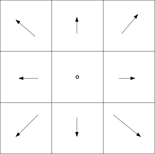
| 09:09, 19 June 2014 | Directions.png (file) |  |
6 KB | ⚠️Madi | 1 | |
| 09:09, 19 June 2014 | Directions grass.png (file) |  |
10 KB | ⚠️Madi | 1 | |
| 09:10, 19 June 2014 | Directions wind.png (file) |  |
10 KB | ⚠️Madi | 1 | |
| 09:45, 6 October 2009 | Distance outlets.png (file) |  |
282 KB | ⚠️Jarekj 71 | 1 | |
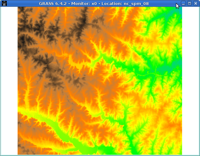
| 21:41, 31 July 2013 | Dmon elevation.png (file) |  |
307 KB | ⚠️Dmci | 1 | |
| 14:51, 23 December 2015 | Downloadlink screenshot.png (file) | 8 KB | ⚠️Pvb | 1 | ||
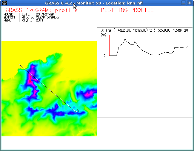
| 21:22, 30 July 2013 | Dprofile-elevation.png (file) |  |
80 KB | ⚠️Dmci | 2 | |
| 09:52, 6 October 2009 | Dstance outlet sub.png (file) |  |
335 KB | ⚠️Jarekj 71 | 1 | |
| 21:40, 31 July 2013 | Dwhatrast.png (file) |  |
15 KB | ⚠️Dmci | 1 | |
| 14:01, 23 November 2012 | Dxf display.png (file) |  |
69 KB | ⚠️Dmci | 2 | |
| 17:06, 26 November 2012 | ENEA logo.gif (file) | 87 KB | ⚠️Lponti | ENEA logo | 1 | |
| 14:55, 27 February 2010 | Elev lid792 bepts.nn.ortho3x.png (file) |  |
149 KB | ⚠️HamishBowman | nc_spm_08 raster surface trials | 1 |
| 14:56, 27 February 2010 | Elev lid792 bepts.nn.png (file) |  |
439 KB | ⚠️HamishBowman | nc_spm_08 raster surface trials (v.out.ascii | r.in.xyz + r.surf.nnbathy) | 1 |
| 14:57, 27 February 2010 | Elev lid792 bepts.rst.png (file) |  |
428 KB | ⚠️HamishBowman | nc_spm_08 raster surface trials (v.surf.rst) | 1 |
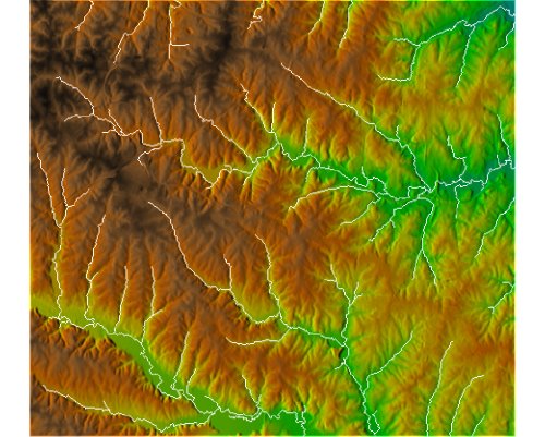
| 15:13, 27 February 2010 | Elev lid792 cont1m.png (file) |  |
88 KB | ⚠️HamishBowman | base image for nc_spm_08 elev_lid792_cont1m contour trials | 1 |
| 09:52, 6 October 2009 | Elevation out subbasin.png (file) |  |
364 KB | ⚠️Jarekj 71 | 1 | |
| 09:46, 6 October 2009 | Elevation outlet.png (file) |  |
332 KB | ⚠️Jarekj 71 | 1 | |
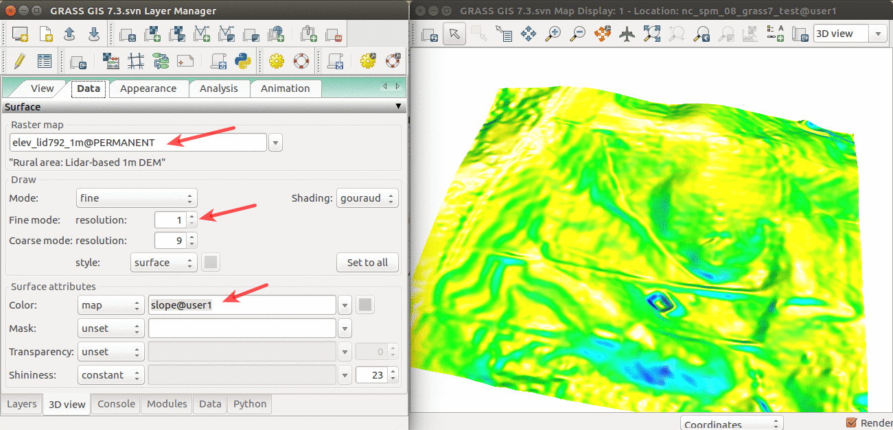
| 14:48, 11 April 2017 | Elevation slope 3D view.png (file) |  |
565 KB | Annakrat | 3D visualization of elev_lid792_1m DEM with slope draped over. | 1 |
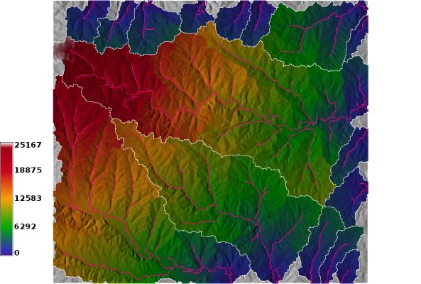
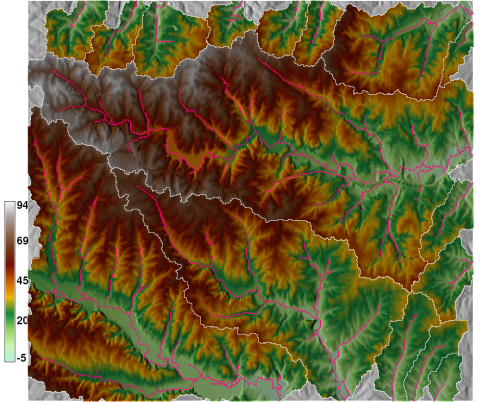
| 10:12, 24 September 2009 | Elevation with streams.jpg (file) |  |
56 KB | ⚠️Jarekj 71 | 1 | |
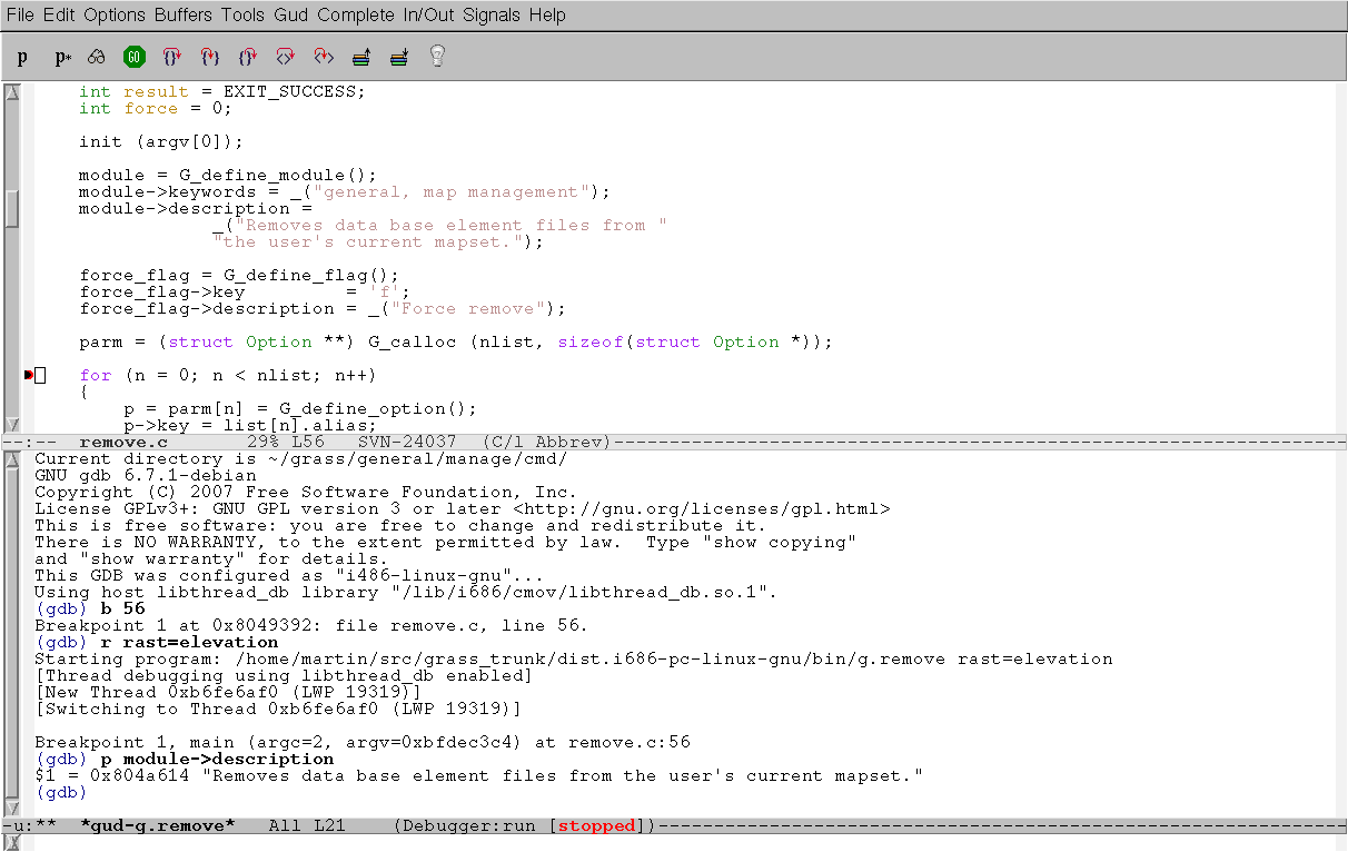
| 09:53, 21 October 2006 | Emacs gdb-1.png (file) |  |
19 KB | ⚠️Landa | GNU Emacs + GNU gdb | 1 |
| 16:52, 9 January 2008 | Emacs gdb-1a.png (file) |  |
35 KB | ⚠️Landa | 2 | |
| 16:53, 9 January 2008 | Emacs gdb-2.png (file) |  |
39 KB | ⚠️Landa | 2 | |
| 16:54, 9 January 2008 | Emacs gdb-3.png (file) |  |
34 KB | ⚠️Landa | 1 | |
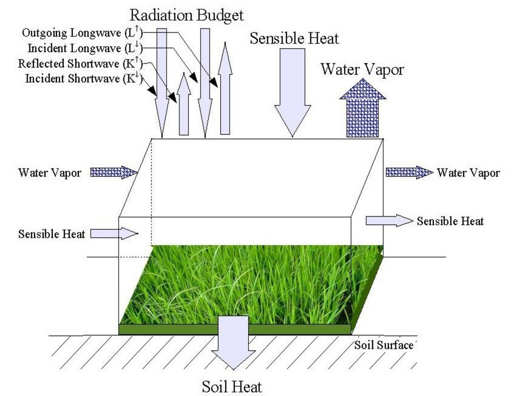
| 07:33, 2 December 2023 | EnergyBalance.png (file) |  |
1.09 MB | ⚠️Ychemin | 1 | |
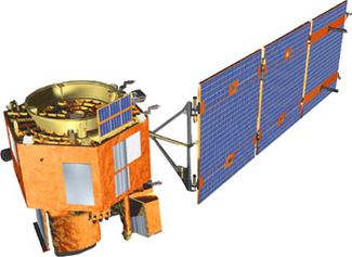
| 06:29, 2 December 2023 | Eo1 satellite.jpg (file) |  |
15 KB | ⚠️Ychemin | 1 | |
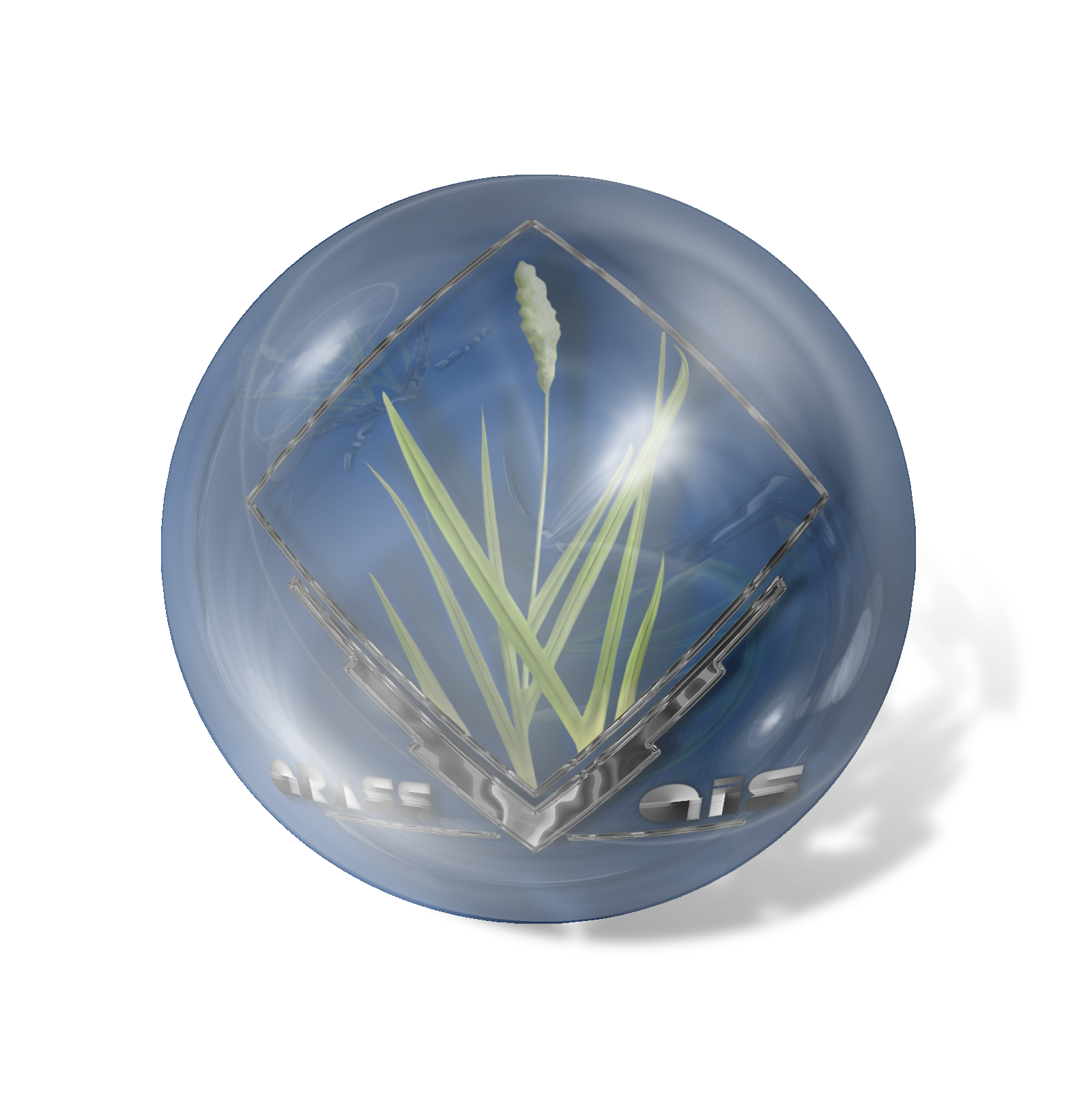
| 22:03, 23 October 2009 | Esfera grass blue.png (file) |  |
1.2 MB | ⚠️Fjgarciaprieto | Made with gimp for all grass users | 1 |
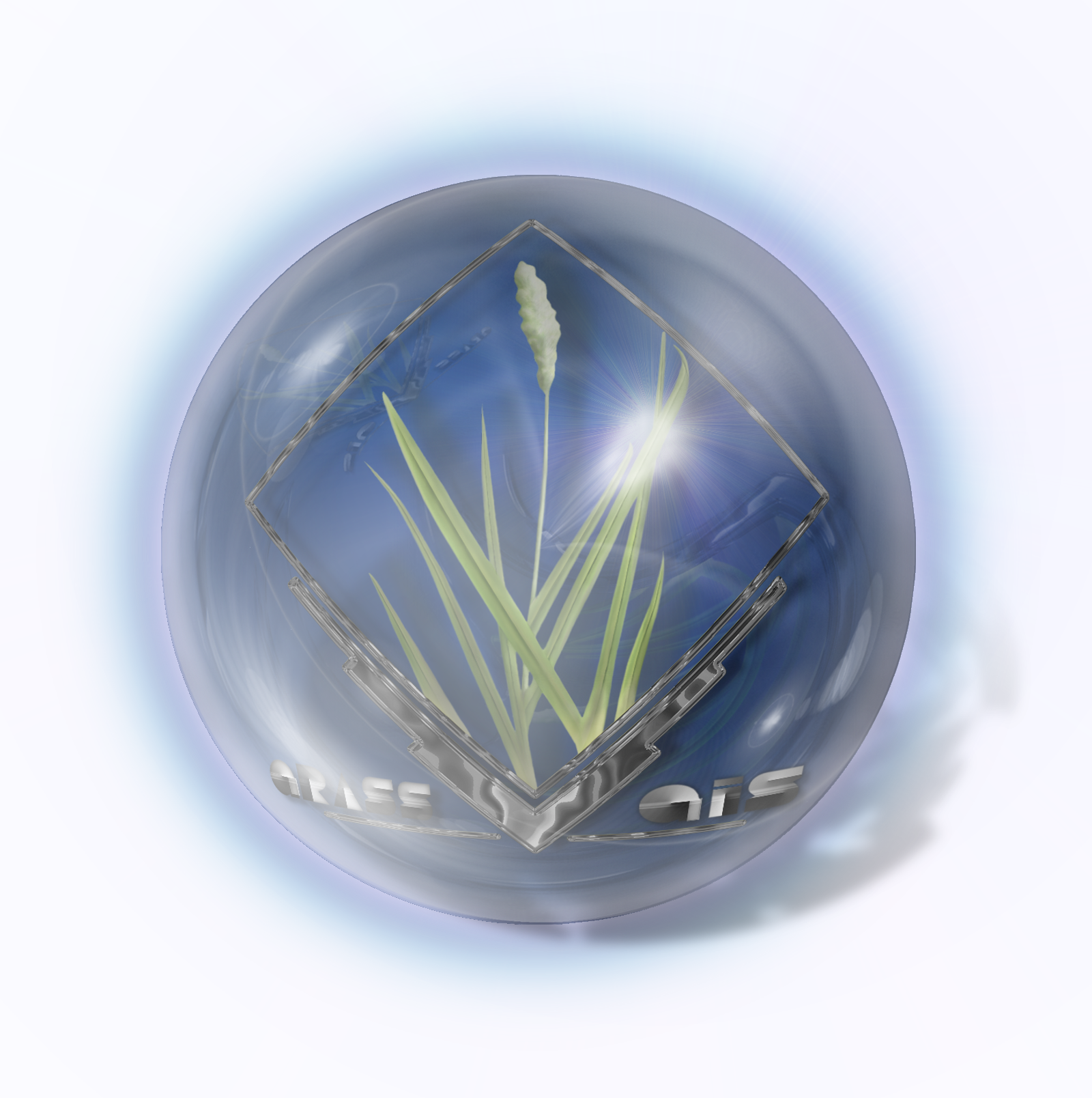
| 22:09, 23 October 2009 | Esfera grass blue glow.png (file) |  |
1.99 MB | ⚠️Fjgarciaprieto | Made with gimp for all grass users | 1 |
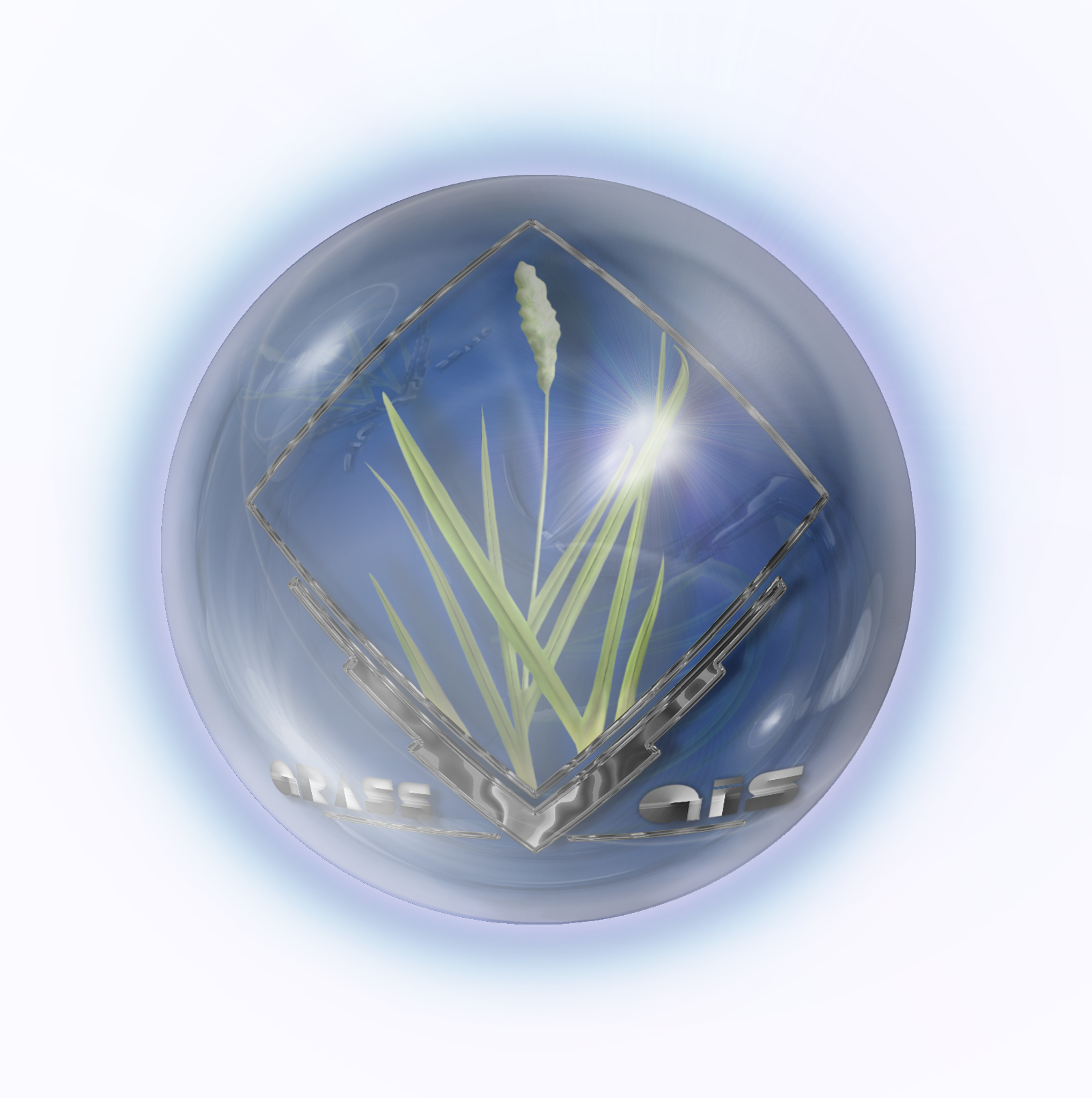
| 22:13, 23 October 2009 | Esfera grass blue glow shadowless.png (file) |  |
1.96 MB | ⚠️Fjgarciaprieto | Made with gimp for all grass users | 1 |
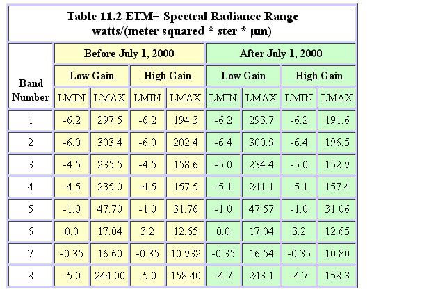
| 08:57, 11 April 2009 | Etm minmaxradiance.JPG (file) |  |
69 KB | ⚠️Annekatrien | Table containing the minimum and maximum radiance values for Landsat ETM+ images | 1 |
| 20:36, 26 November 2012 | Eu emblem.gif (file) |  |
2 KB | ⚠️Lponti | 1 | |
| 07:59, 18 December 2023 | Evaporation manual v0.6.7.pdf (file) | 6.87 MB | ⚠️Ychemin | evapotranspiration modelling step by step manual | 1 | |
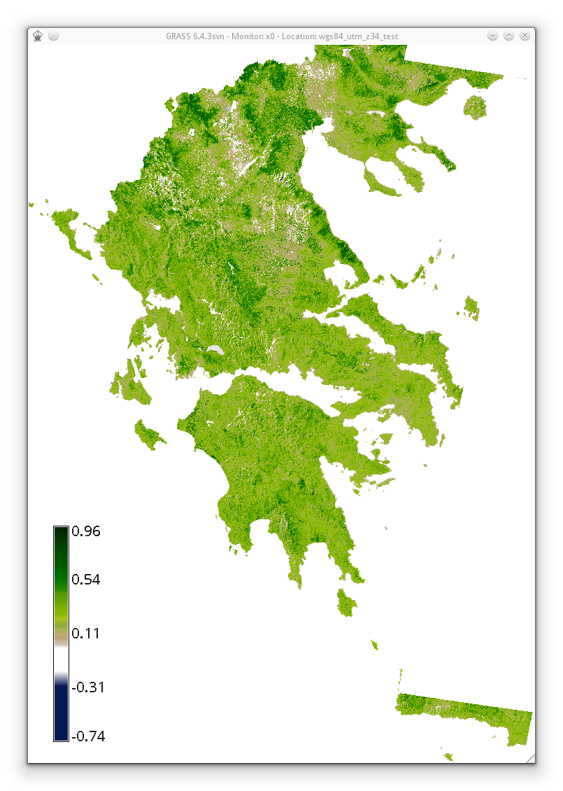
| 08:42, 4 May 2013 | Evi2 based on histomatched summer landsat utm z34n.png (file) |  |
693 KB | ⚠️NikosA | EVI2 based on summer Landsat acquisitions (from 2009 to 2011, histomatched, only tiles that originally fall into UTM Z34N) covering Ellas (Greece) | 1 |
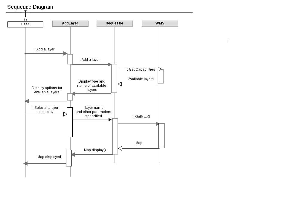
| 05:41, 24 May 2011 | Example.jpg (file) |  |
39 KB | ⚠️Sudeep singh | The sequence diagram | 1 |
| 05:52, 18 September 2009 | Example1.jpg (file) |  |
182 KB | ⚠️Shamim | 1 | |
| 17:42, 19 July 2017 | Example r.in.lidar command in Bash.png (file) | 23 KB | ⚠️Wenzeslaus | Example r.in.lidar command in Bash with highlighted module name (blue), options and flags (red) and option values (green) | 1 | |
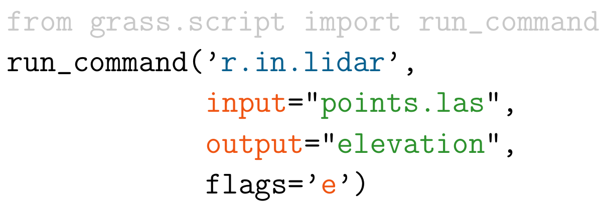
| 17:44, 19 July 2017 | Example r.in.lidar command in Python.png (file) |  |
47 KB | ⚠️Wenzeslaus | Example r.in.lidar command in Python with highlighted module name (blue), options and flags (red) and option values (green) and import (grey) | 1 |
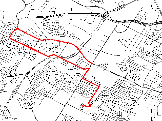
| 18:30, 30 July 2008 | Example track.png (file) |  |
23 KB | ⚠️Ebdavison | 1 | |
| 09:47, 12 June 2017 | FOSS4G-Europe-2017.png (file) |  |
386 KB | Lucadelu | 1 | |
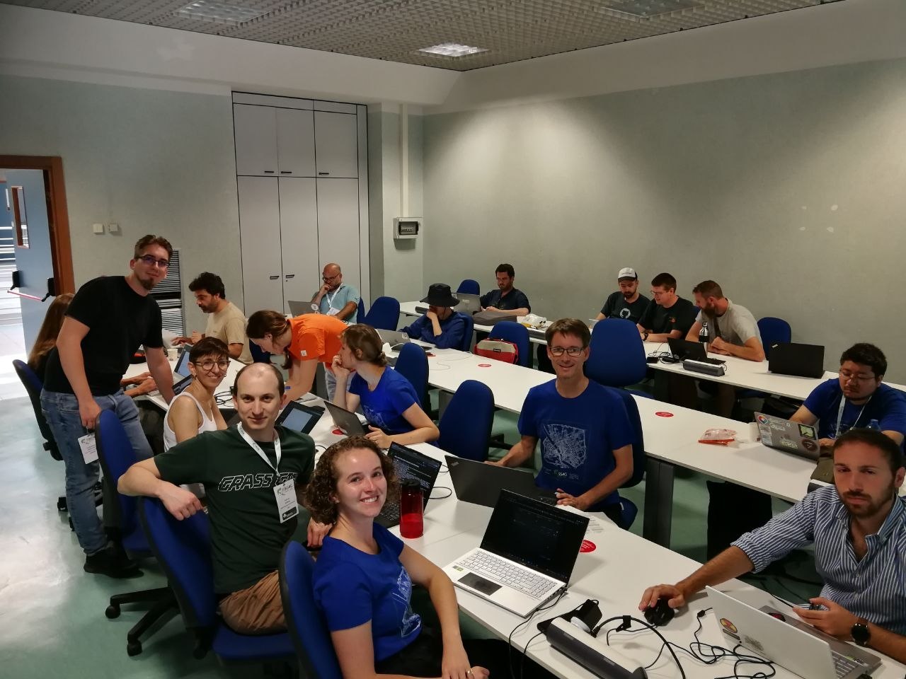
| 18:46, 27 August 2022 | FOSS4G2022 Florence sprint aug 27.jpg (file) |  |
176 KB | Neteler | GRASS GIS Code Sprint at FOSS4G2022 Florence, Aug 27 | 1 |
| 03:19, 22 April 2016 | FOSS4G NA 2016.png (file) | 67 KB | Annakrat | Downloaded from https://2016.foss4g-na.org/sites/default/files/728X90.png | 1 | |
| 21:46, 26 April 2023 | FOSSGIS eV logo.png (file) | 40 KB | Neteler | 2 |