Uploads by Neteler
Jump to navigation
Jump to search
This special page shows all uploaded files.
| Date | Name | Thumbnail | Size | Description | Versions |
|---|---|---|---|---|---|
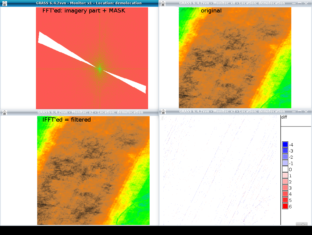
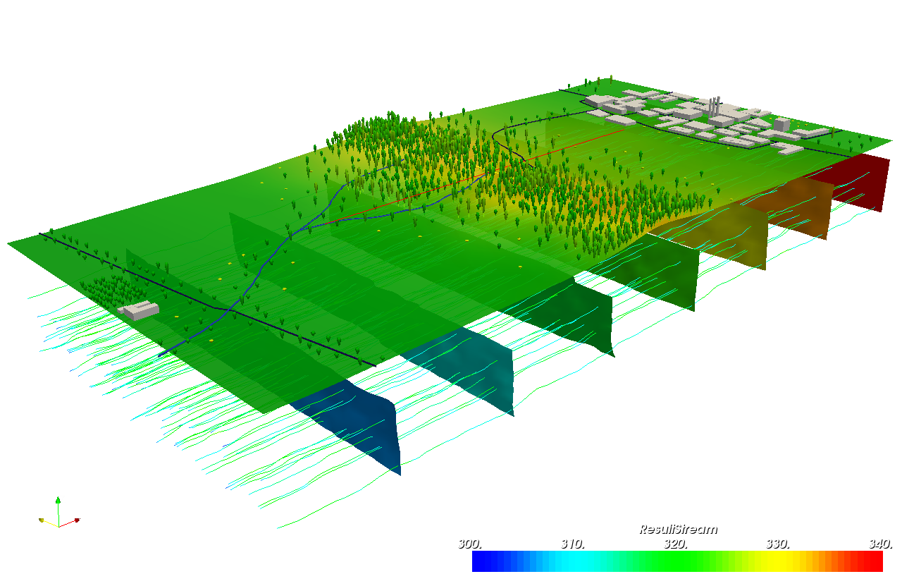
| 12:06, 29 July 2011 | Grass image destriping with FFT.png (file) |  |
434 KB | 2 | |
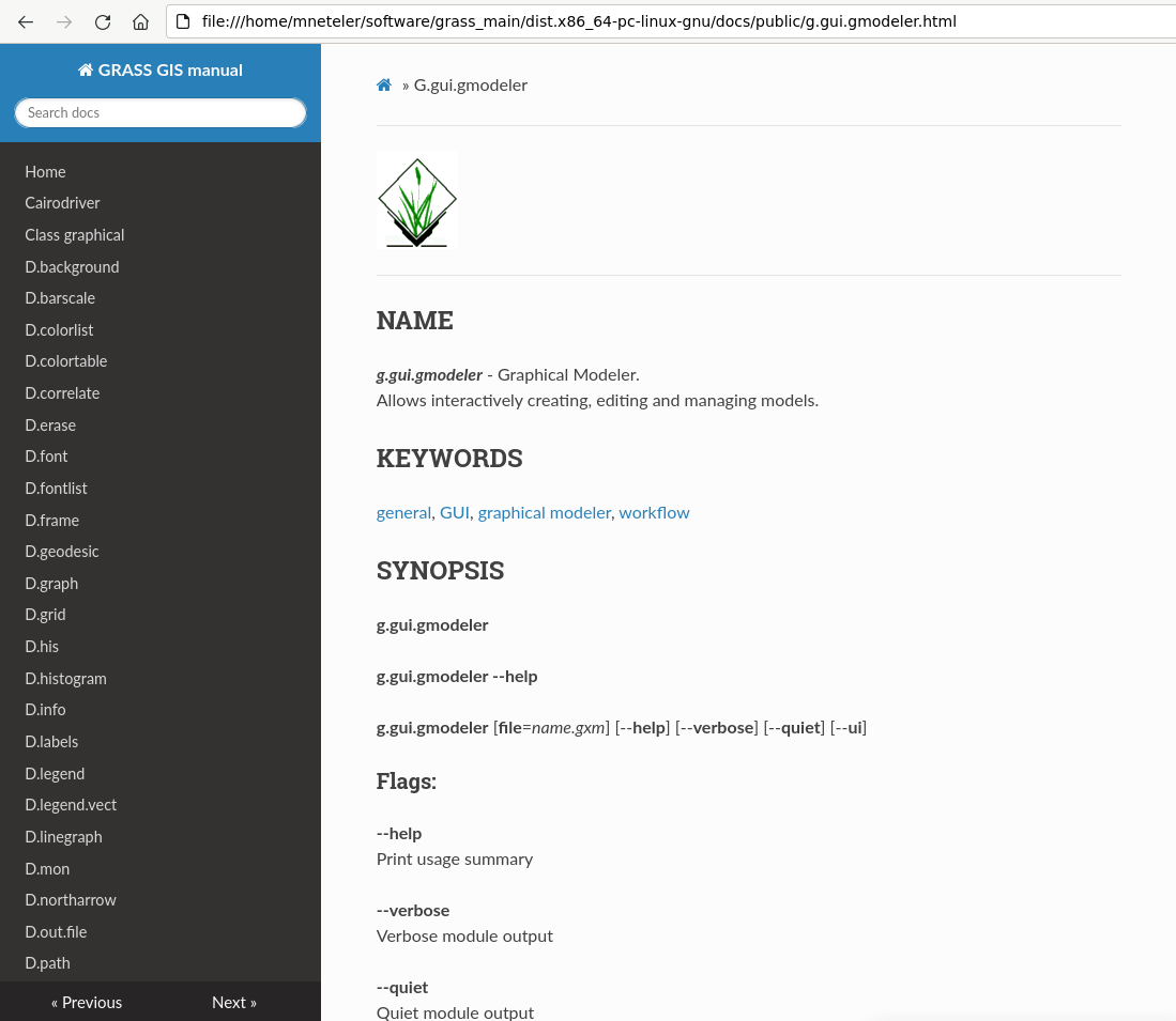
| 08:33, 6 June 2023 | Grass manual readthedocs.png (file) |  |
97 KB | First attempt to convert the manual to Markdown/mkdocs | 1 |
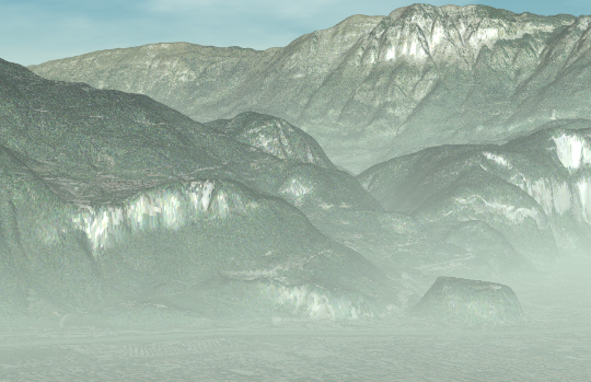
| 13:42, 3 June 2010 | Grass povray rendering.png (file) |  |
318 KB | Example for rendering | 1 |
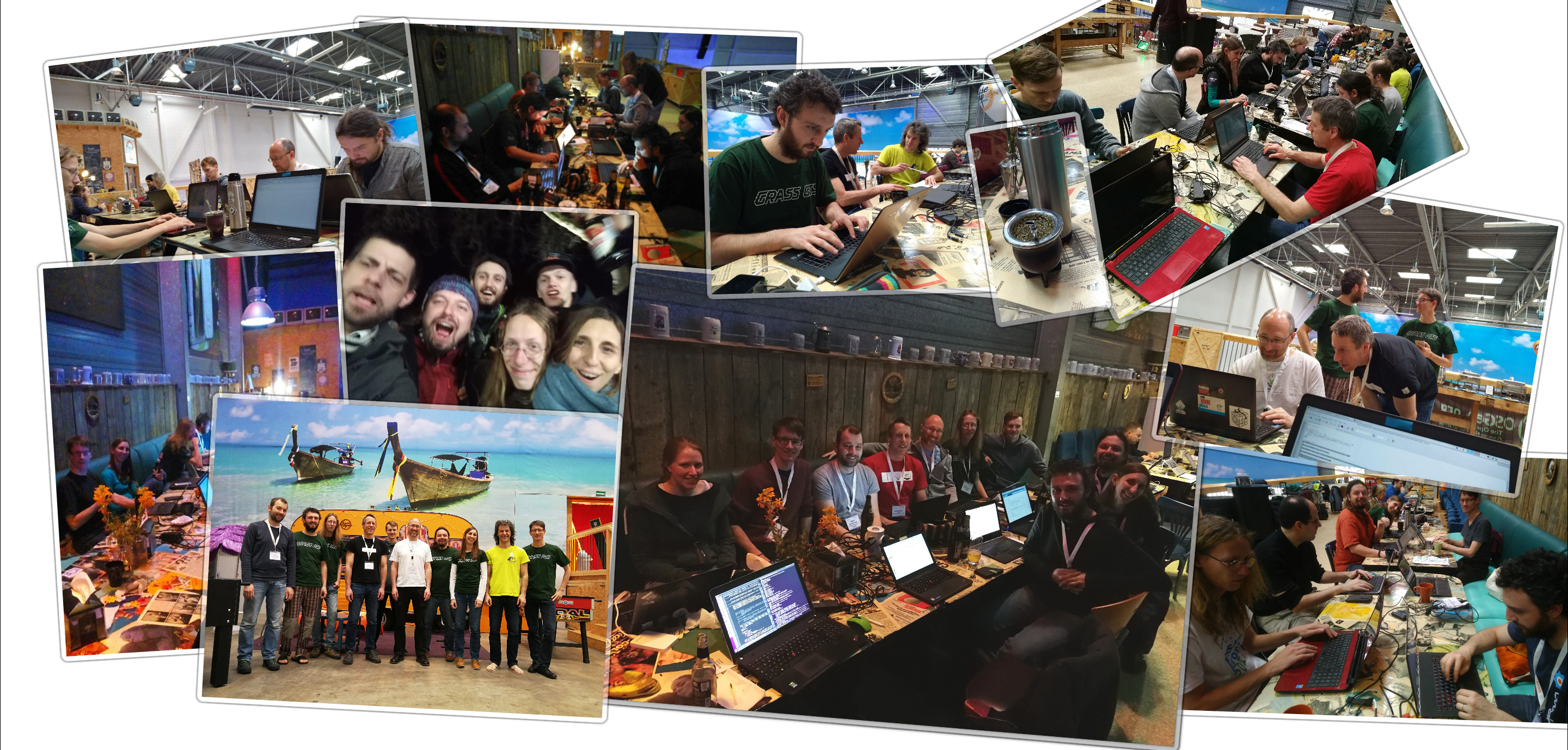
| 21:20, 15 April 2018 | Grass sprint2018 bonn fotowall.jpg (file) |  |
1.38 MB | 1 | |
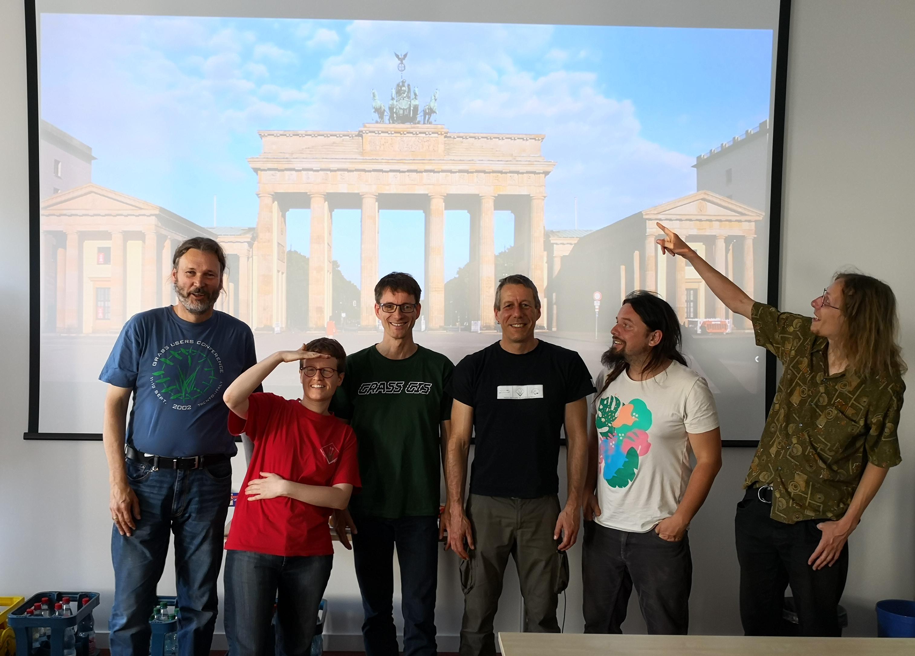
| 15:54, 19 May 2019 | Grassgis 2019 berlin sprint group photo.jpg (file) |  |
461 KB | GRASS GIS community sprinters at DIW Berlin, 2019 | 1 |
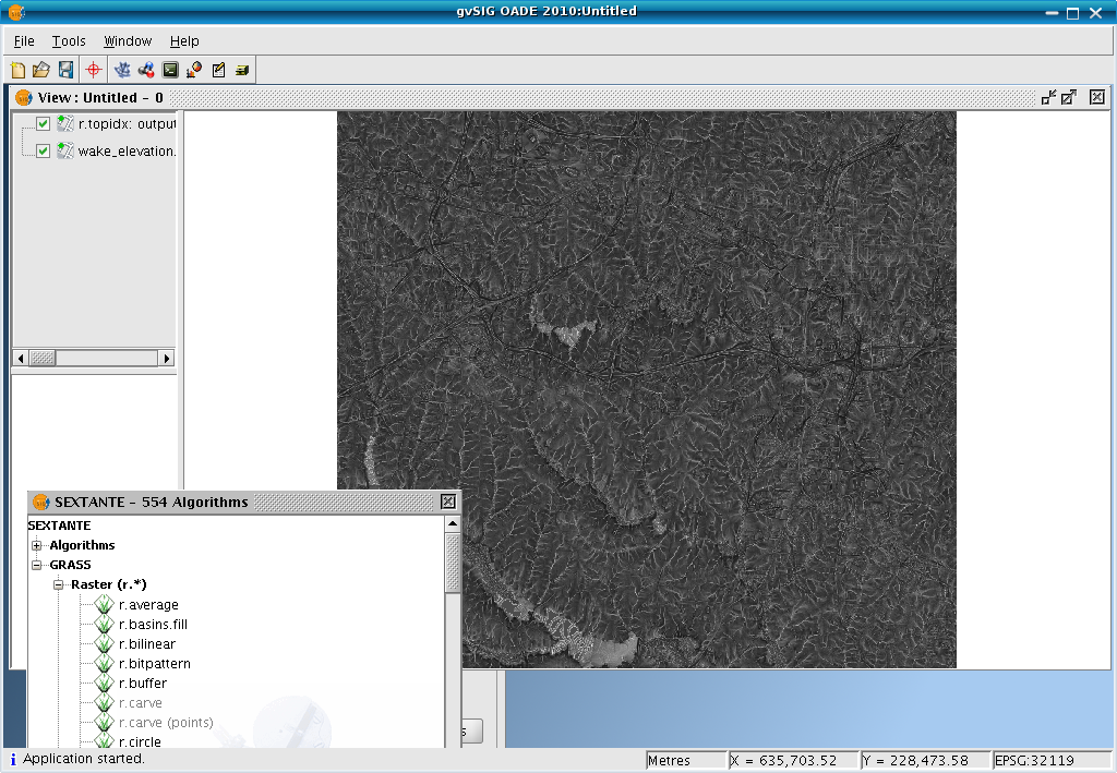
| 22:58, 15 April 2011 | GvSIG OADE sextante rtopidx.png (file) |  |
556 KB | 1 | |
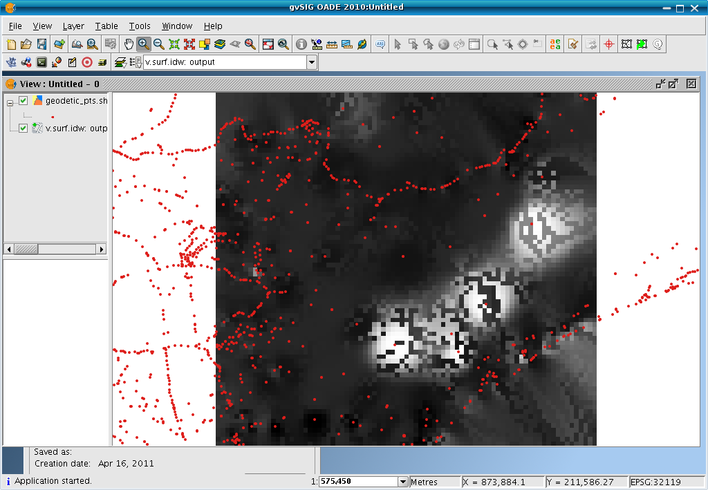
| 22:48, 15 April 2011 | GvSIG OADE sextante vsurfidw.png (file) |  |
112 KB | screenshot | 1 |
| 11:55, 16 July 2012 | Hamish.jpg (file) |  |
3 KB | 1 | |
| 11:55, 16 July 2012 | Helena.jpg (file) |  |
11 KB | 1 | |
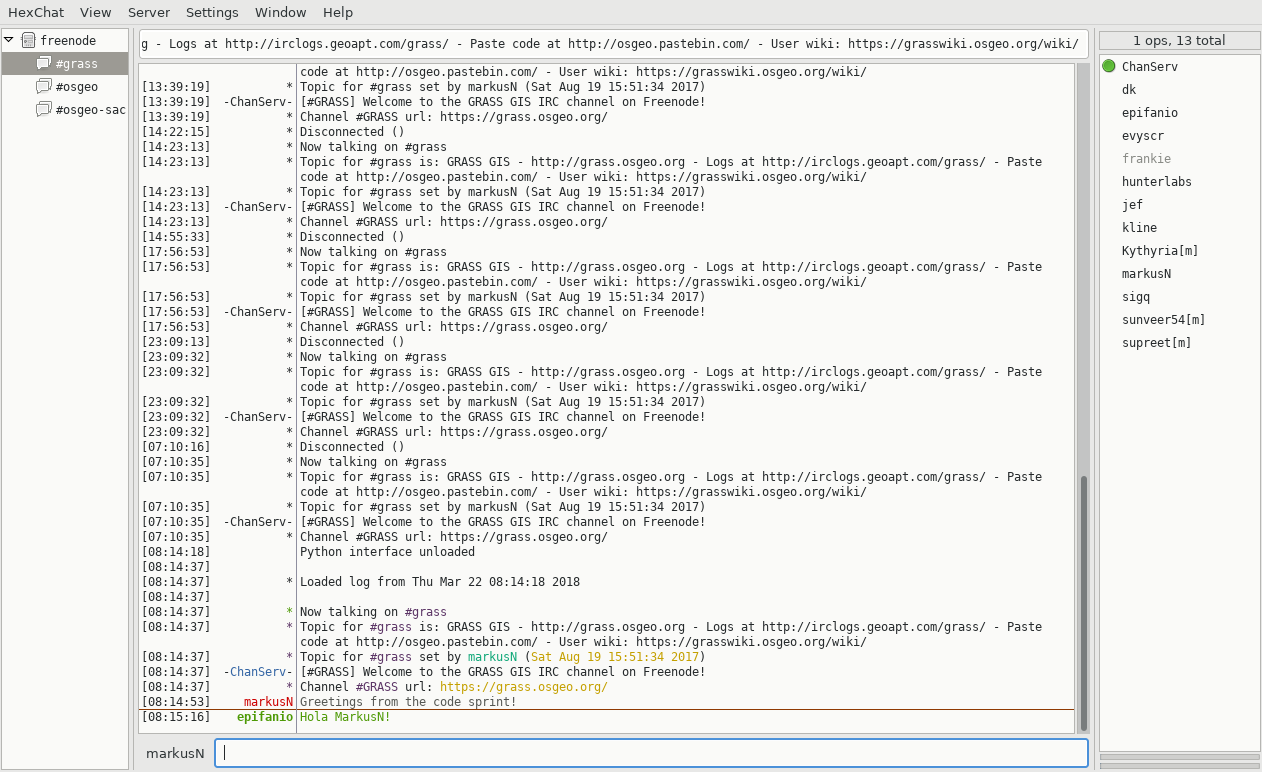
| 07:16, 22 March 2018 | Hexchat IRC client.png (file) |  |
171 KB | 1 | |
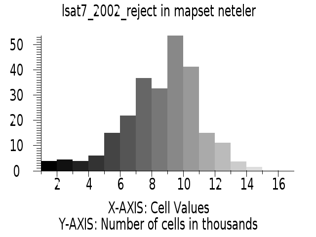
| 18:43, 26 September 2011 | Histogram lsat7 2002 reject.png (file) |  |
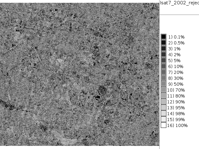
24 KB | NC Landsat map 2002 - unsupervised classification rejection map histogram | 1 |
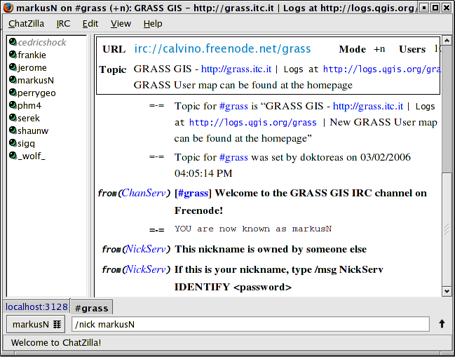
| 08:27, 20 June 2013 | Irc chatzilla.png (file) |  |
62 KB | IRC communication in chatzilla client (for Firefox) | 1 |
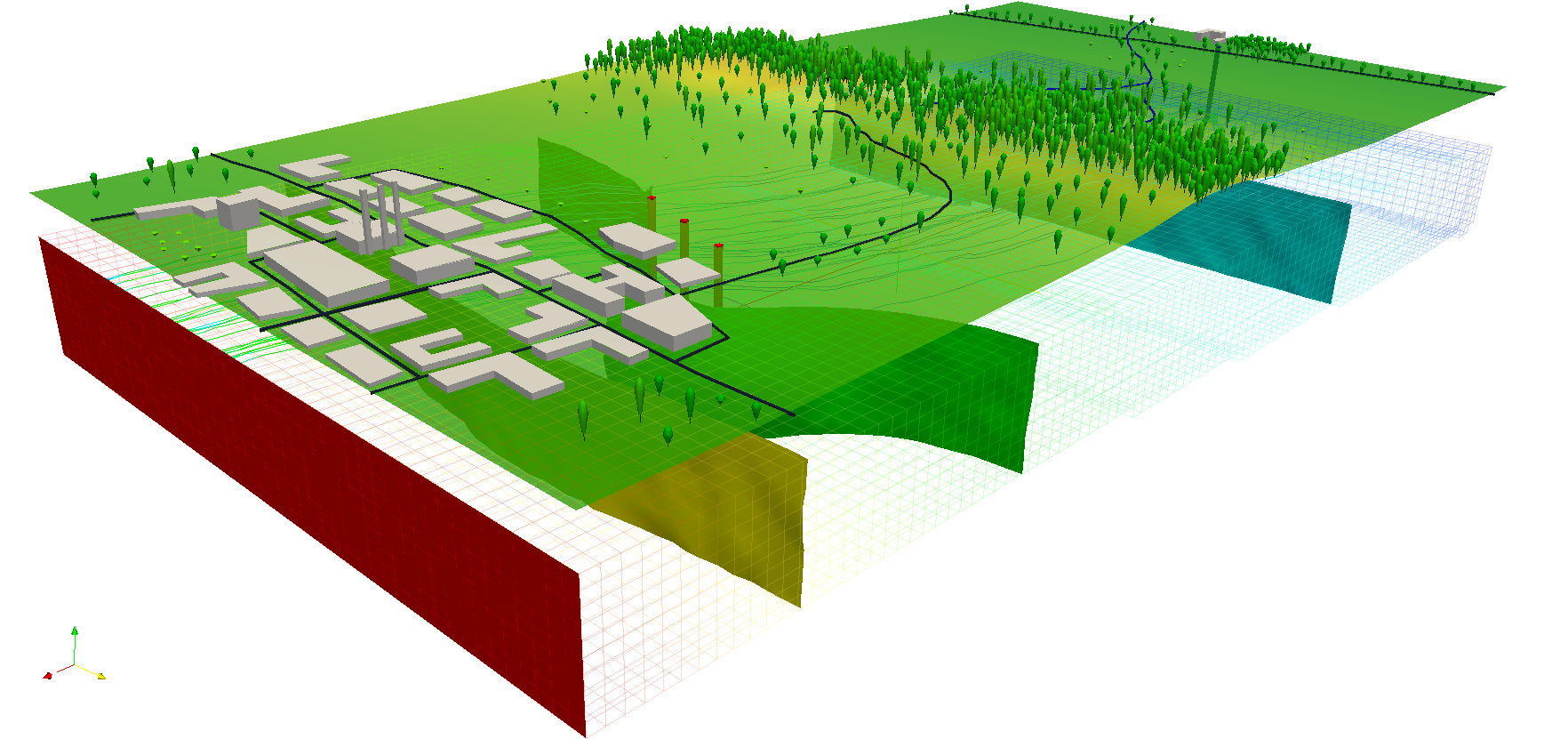
| 13:28, 24 October 2011 | LausanneDemoDataset3dParaview 10.png (file) |  |
601 KB | With author's permission: http://www-pool.math.tu-berlin.de/~soeren/grass/modules/screenshots/LausanneDemoDataset3dParaview_10.png | 1 |
| 13:28, 24 October 2011 | LausanneDemoDataset3dParaview 4.png (file) |  |
299 KB | With author's permission: http://www-pool.math.tu-berlin.de/~soeren/grass/modules/screenshots/LausanneDemoDataset3dParaview_4.png | 1 |
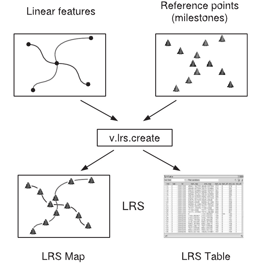
| 09:04, 12 September 2012 | Lrs creation.png (file) |  |
139 KB | Fixed figure | 2 |
| 11:55, 16 July 2012 | Maciek.png (file) |  |
19 KB | 1 | |
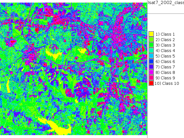
| 18:42, 26 September 2011 | Map lsat7 2002 class.png (file) |  |
164 KB | NC Landsat map 2002 - unsupervised classification | 1 |
| 19:09, 26 September 2011 | Map lsat7 2002 class supervised.png (file) |  |
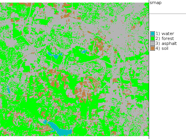
69 KB | NC Landsat map 2002 - SMAP supervised classification | 1 |
| 18:53, 26 September 2011 | Map lsat7 2002 class unsupervised 15.png (file) |  |
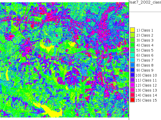
182 KB | NC Landsat map 2002 - unsupervised classification 15 classes | 1 |
| 18:40, 26 September 2011 | Map lsat7 2002 r1g5b7.png (file) |  |
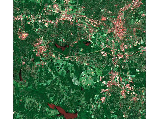
687 KB | NC Landsat map 2002 - false color composite | 1 |
| 18:44, 26 September 2011 | Map lsat7 2002 reject.png (file) |  |
237 KB | NC Landsat map 2002 - unsupervised classification rejection map | 1 |
| 12:15, 16 July 2012 | Markus.jpg (file) |  |
2 KB | 2 | |
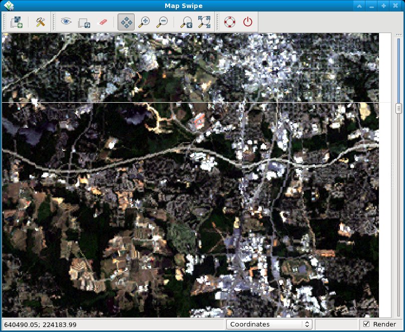
| 20:15, 16 August 2012 | NC landsat map swipe.jpg (file) |  |
189 KB | Comparison of Landsat5/1987 and Landsat7/2002 near Raleigh, NC, USA | 1 |
| 08:40, 10 November 2014 | NagsHead.gif (file) |  |
405 KB | ... from http://fatra.cnr.ncsu.edu/temporal-grass-workshop/NagsHead.gif | 1 |
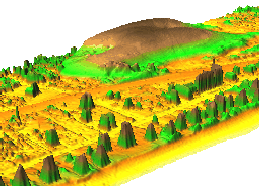
| 15:10, 25 April 2009 | Nc buildings stereo.png (file) |  |
500 KB | Paraview rendered stereo vision of North Carolina data set buildings | 2 |
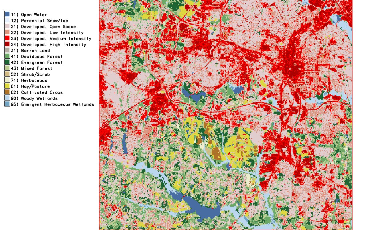
| 11:42, 14 August 2022 | North Carolina landuse 2019 Raleigh area.jpeg (file) |  |
376 KB | Source: https://www.lib.ncsu.edu/gis/nlcd | 1 |
| 13:27, 11 July 2012 | OSGeo 220pix.png (file) |  |
16 KB | Latest logo | 2 |
| 17:32, 19 January 2014 | OSGeo code sprint2014.png (file) | 123 KB | 1 | ||
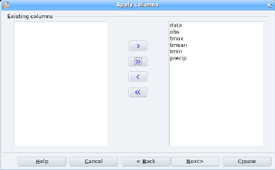
| 14:33, 21 November 2006 | Oo base newtable1.png (file) |  |
22 KB | 1 | |
| 14:34, 21 November 2006 | Oo base newtable1 small.png (file) |  |
11 KB | 1 | |
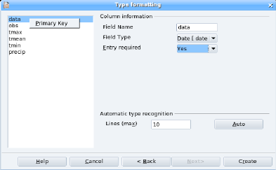
| 14:34, 21 November 2006 | Oo base newtable2.png (file) |  |
16 KB | 1 | |
| 14:34, 21 November 2006 | Oo base newtable2 small.png (file) |  |
9 KB | 1 | |
| 14:34, 21 November 2006 | Oo base newtable3.png (file) |  |
26 KB | 1 | |
| 14:34, 21 November 2006 | Oo base newtable3 small.png (file) |  |
14 KB | 1 | |
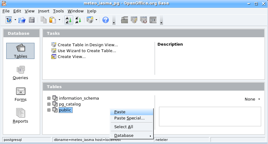
| 14:33, 21 November 2006 | Oo base paste.png (file) |  |
52 KB | 1 | |
| 14:33, 21 November 2006 | Oo base paste small.png (file) |  |
29 KB | 1 | |
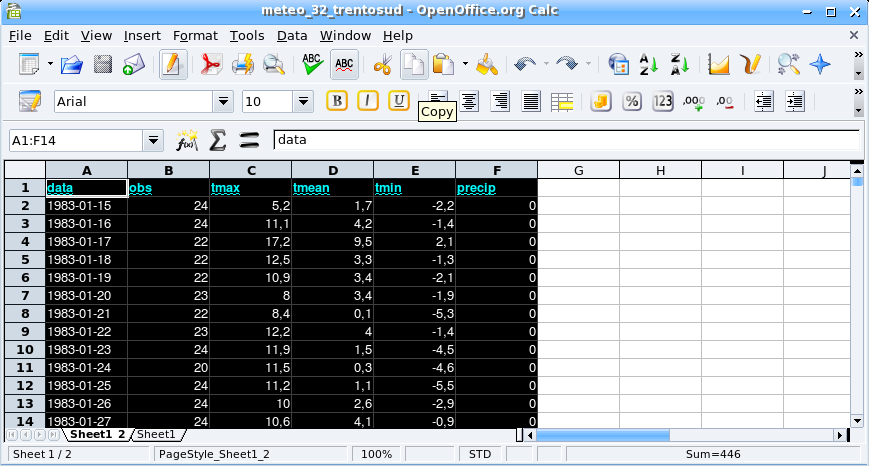
| 14:30, 21 November 2006 | Oo calc.png (file) |  |
86 KB | 1 | |
| 14:30, 21 November 2006 | Oo calc small.png (file) |  |
47 KB | 1 | |
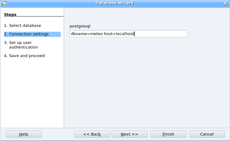
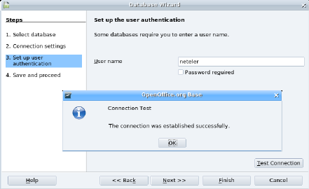
| 19:16, 3 December 2006 | Oobase pg connect1.png (file) |  |
21 KB | 1 | |
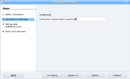
| 19:16, 3 December 2006 | Oobase pg connect1 small.png (file) |  |
12 KB | 1 | |
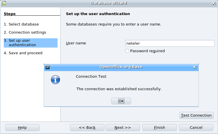
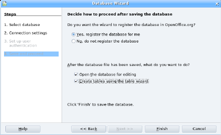
| 19:16, 3 December 2006 | Oobase pg connect2.png (file) |  |
38 KB | 1 | |
| 19:17, 3 December 2006 | Oobase pg connect2 small.png (file) |  |
22 KB | 1 | |
| 19:16, 3 December 2006 | Oobase pg connect3.png (file) |  |
40 KB | 1 | |
| 19:17, 3 December 2006 | Oobase pg connect3 small.png (file) |  |
25 KB | 1 | |
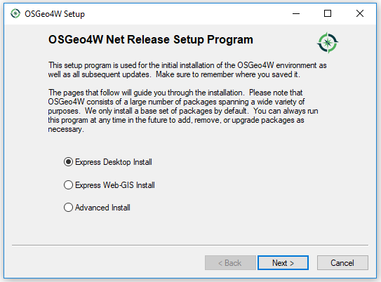
| 13:31, 15 December 2020 | Osgeo4w 1.png (file) | 8 KB | 1 | ||
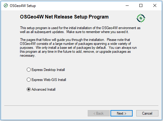
| 13:33, 15 December 2020 | Osgeo4w 2 advanced.png (file) |  |
20 KB | 1 | |
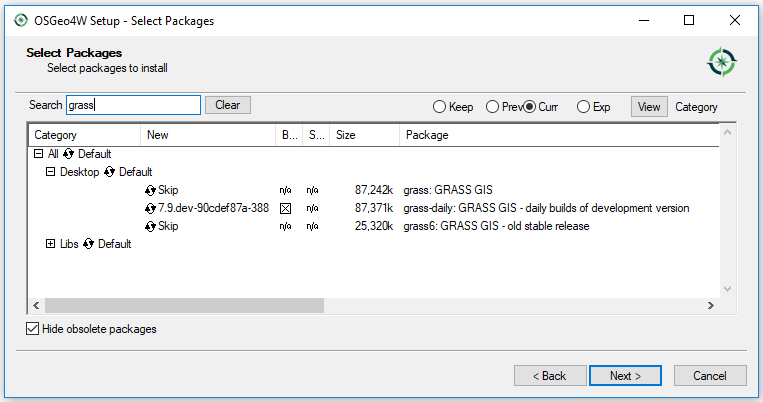
| 13:32, 15 December 2020 | Osgeo4w 2 express.png (file) |  |
20 KB | 1 | |
| 13:43, 15 December 2020 | Osgeo4w 3 advanced.png (file) |  |
22 KB | 2 | |
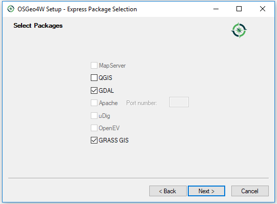
| 13:33, 15 December 2020 | Osgeo4w 3 express.png (file) |  |
12 KB | 1 | |
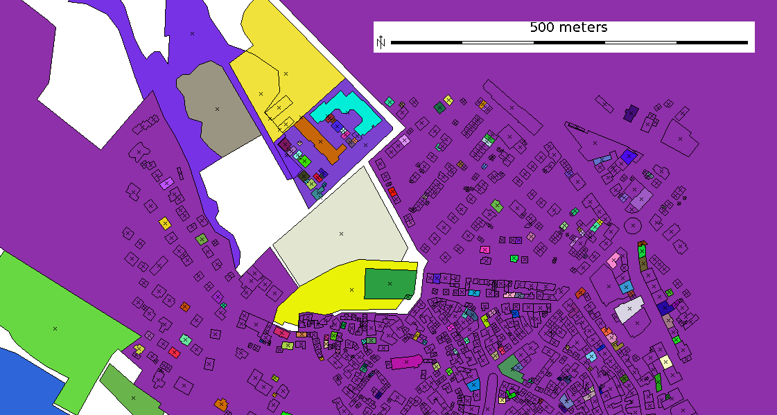
| 19:49, 25 October 2011 | Osm map2d.png (file) |  |
64 KB | OSM 2D map with colorized buildings | 1 |