File list
Jump to navigation
Jump to search
This special page shows all uploaded files.
| Date | Name | Thumbnail | Size | User | Description | Versions |
|---|---|---|---|---|---|---|
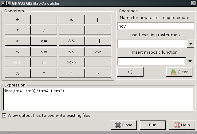
| 11:49, 10 May 2010 | Wxgui-mapcalc.png (file) |  |
23 KB | ⚠️Landa | wxGUI Map Calculator {{wxGUI}} | 1 |
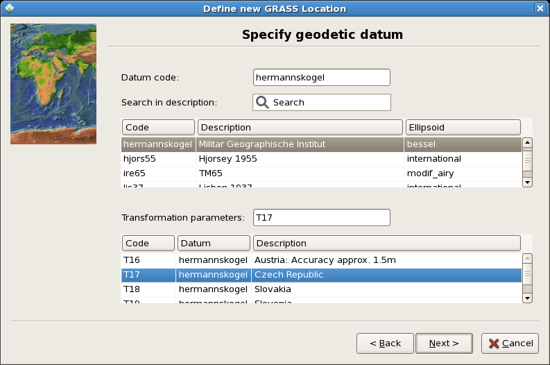
| 11:11, 19 December 2007 | Wxgui-location-wizard.png (file) |  |
92 KB | ⚠️Landa | 1 | |
| 15:05, 20 January 2011 | Wxgui-link-tooltip.png (file) |  |
7 KB | ⚠️Landa | Link external data - Layer Manager toolbar (1) {{wxGUI}} | 1 |
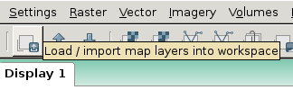
| 17:24, 21 September 2011 | Wxgui-link-tool.png (file) |  |
17 KB | ⚠️Landa | Link external data - Layer Manager toolbar (2) {{wxGUI}} | 1 |
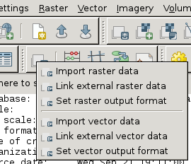
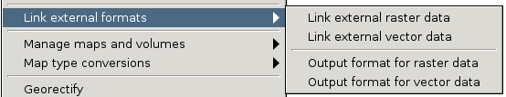
| 14:05, 20 January 2011 | Wxgui-link-menu.png (file) | 10 KB | ⚠️Landa | Link external data - wxGUI menu {{wxGUI}} | 1 | |
| 12:08, 17 August 2010 | Wxgui-layer-manager-70.png (file) |  |
32 KB | ⚠️Landa | wxGUI Layer Manager (2010/08) {{wxGUI}} | 1 |
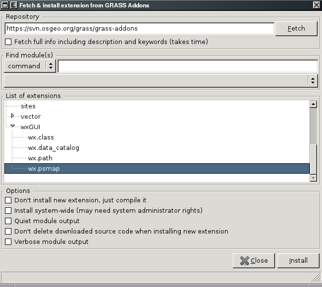
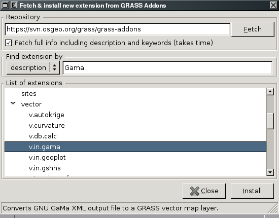
| 19:56, 26 March 2011 | Wxgui-install-extension.png (file) |  |
33 KB | ⚠️Landa | Installing wx.psmap from wxGUI {{wxGUI}} | 1 |
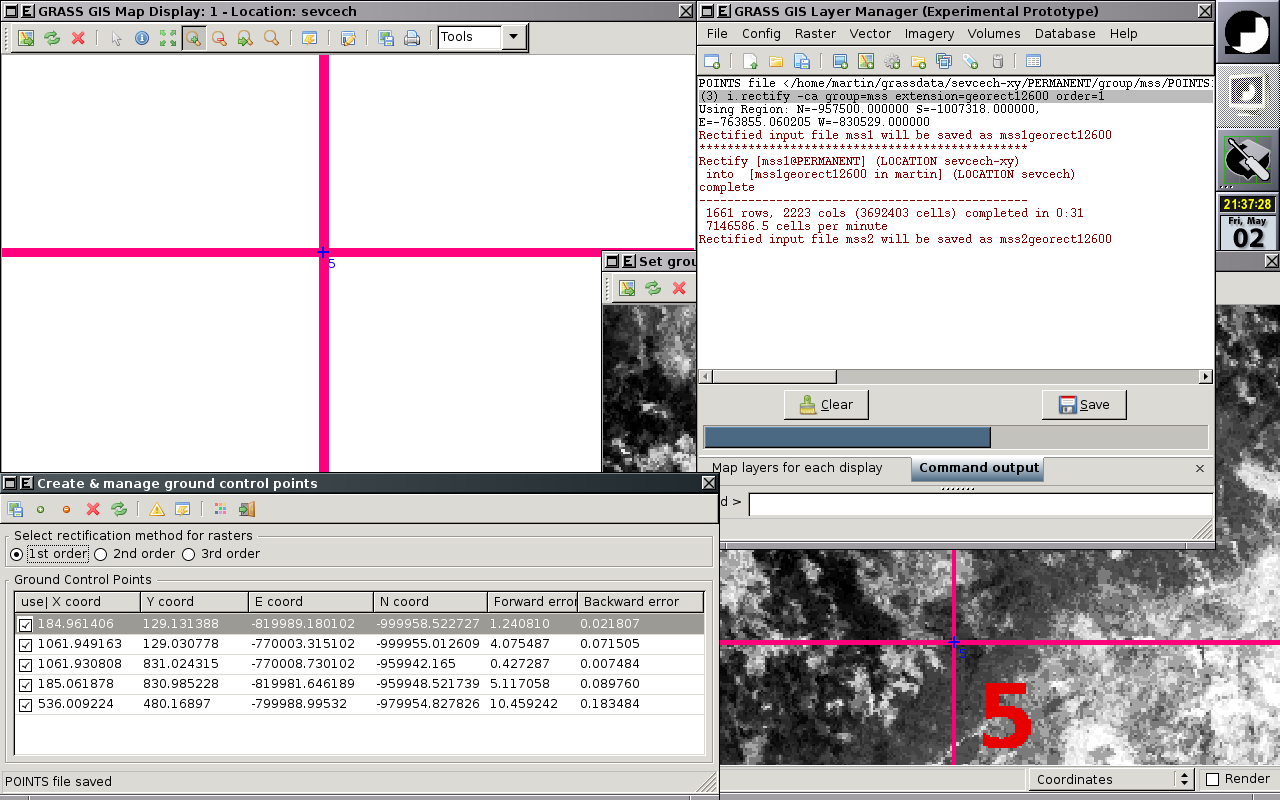
| 21:13, 11 May 2008 | Wxgui-georectify-1.png (file) |  |
125 KB | ⚠️Landa | wxGUI - Georectifier, geocoding in progress {{wxGUI}} | 1 |
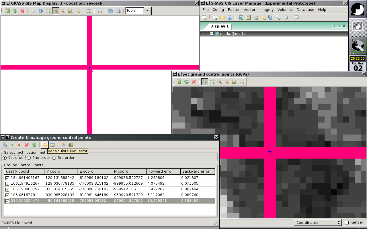
| 21:11, 11 May 2008 | Wxgui-georectify-0.png (file) |  |
88 KB | ⚠️Landa | wxGUI - Georectifier, selecting GCPs {{wxGUI}} | 1 |
| 19:15, 9 May 2010 | Wxgui-em.png (file) |  |
27 KB | ⚠️Landa | wxGUI Extension Manager {{wxGUI}} | 1 |
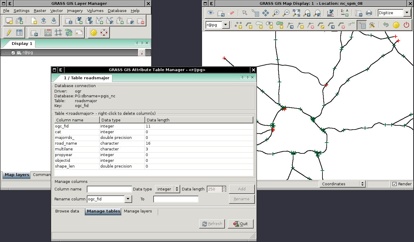
| 08:32, 27 August 2011 | Wxgui-digitize-postgis.png (file) |  |
102 KB | ⚠️Landa | Example of digitizing PostGIS layer (linked via v.external in wxGUI {{wxGUI}} | 1 |
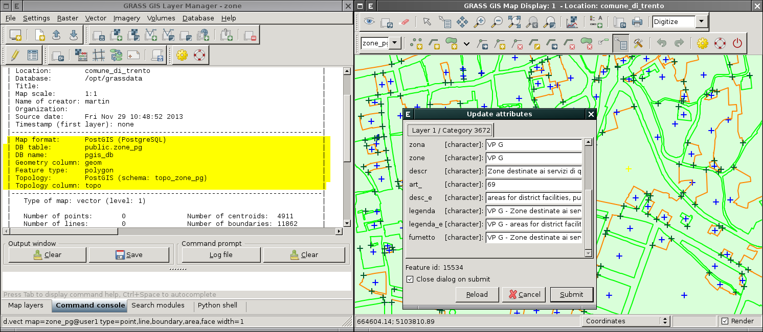
| 10:01, 29 November 2013 | Wxgui-digit-postgis-topo.png (file) |  |
218 KB | ⚠️Landa | Editing PostGIS Topology data directly in wxGUI {{wxGUI}} | 1 |
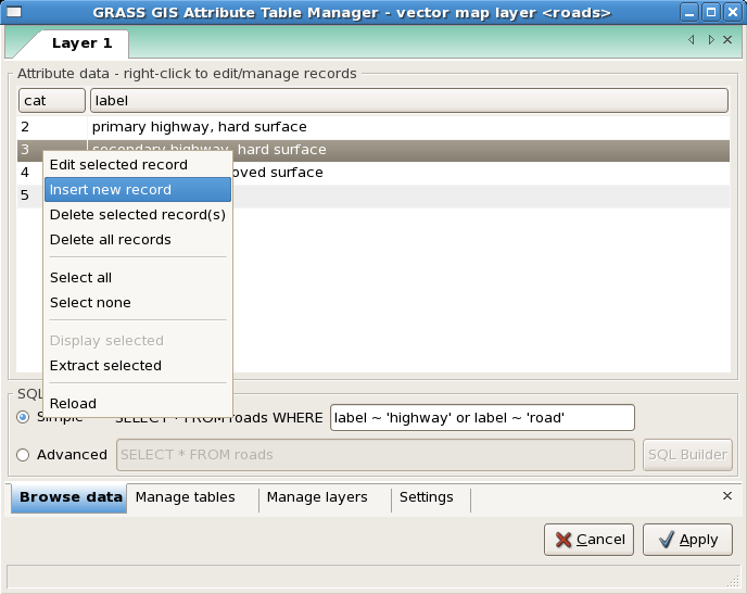
| 10:52, 8 December 2012 | Wxgui-dbmgr-extract.png (file) |  |
52 KB | ⚠️Landa | 1 | |
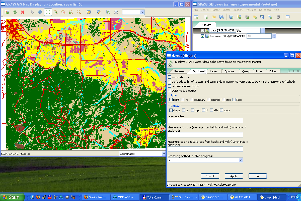
| 13:21, 2 March 2008 | Wxgui-d-vect-windows.png (file) |  |
290 KB | ⚠️Landa | WxPython-based GUI on MS Windows | 1 |
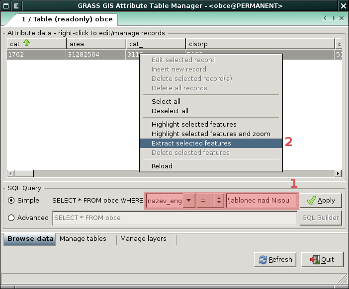
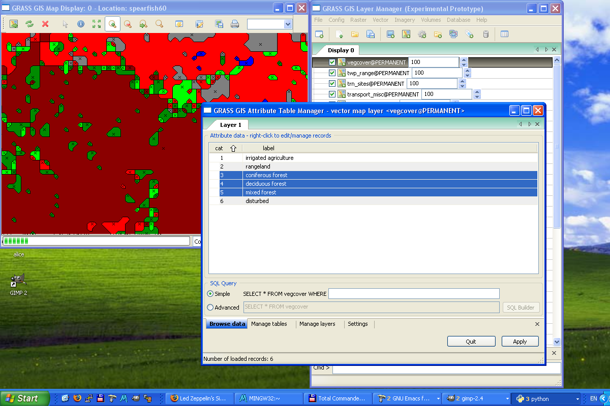
| 11:27, 19 December 2007 | Wxgui-attribute-table-manager.png (file) |  |
48 KB | ⚠️Landa | 1 | |
| 21:45, 15 March 2008 | Wxgui-atm0-gnulinux.png (file) |  |
1,022 KB | ⚠️Landa | wxPython GUI -- Attribute Table Manager | 1 |
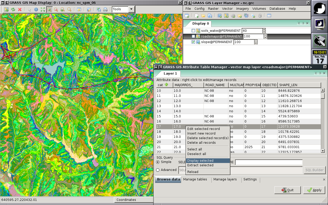
| 13:22, 2 March 2008 | Wxgui-atm-windows.png (file) |  |
345 KB | ⚠️Landa | wxPython-based GUI on MS Windows -- Attribute Table Manager | 1 |
| 20:30, 1 June 2009 | Wxgrassmac.jpg (file) |  |
217 KB | ⚠️Gene | WXpython-based Gui, Nviz , Mac Os X | 1 |
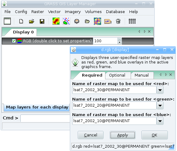
| 16:05, 5 February 2008 | Wxgrass rgb.png (file) |  |
45 KB | Neteler | RGB Landsat in wxgrass | 1 |
| 08:07, 21 October 2007 | Wxgrass-startup.png (file) |  |
146 KB | ⚠️Landa | 1 | |
| 15:29, 10 October 2007 | Wxgrass-mapdisplay-0.png (file) |  |
1.18 MB | ⚠️Landa | 1 | |
| 10:49, 19 December 2007 | Wxgrass-gis-manager-output.png (file) |  |
31 KB | ⚠️Landa | Updated to 2007/12 | 2 |
| 10:44, 19 December 2007 | Wxgrass-gis-manager-layer.png (file) |  |
40 KB | ⚠️Landa | Updated to 2007/12 | 2 |
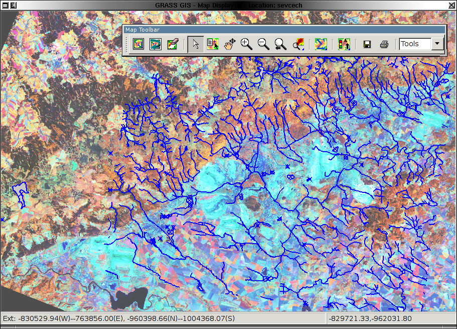
| 13:06, 23 July 2007 | Wxgrass-d-rgb.png (file) |  |
23 KB | ⚠️Landa | 1 | |
| 18:21, 8 July 2011 | WxNviz volumes.png (file) |  |
289 KB | Annakrat | 1 | |
| 12:56, 14 July 2011 | WxNviz volume slices 2.png (file) |  |
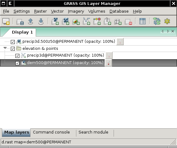
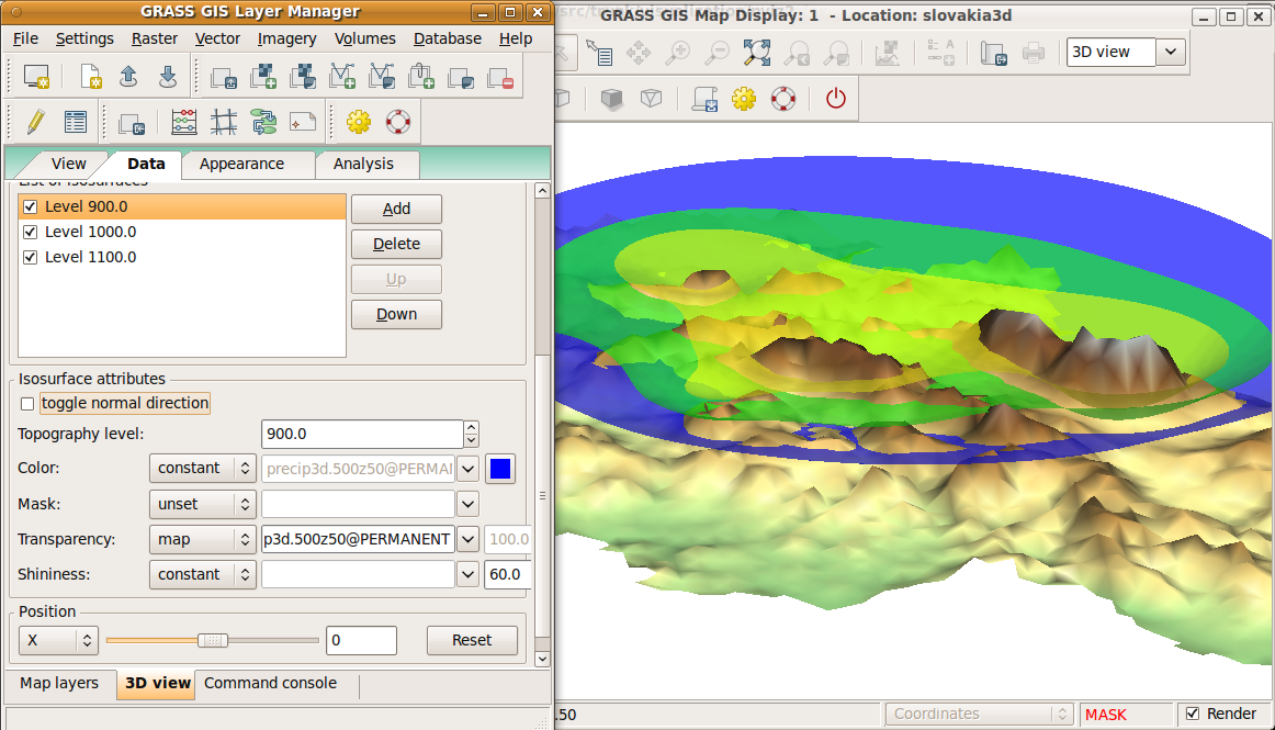
243 KB | Annakrat | Command for nviz_cmd: nviz_cmd elevation_map=dem500@PERMANENT -a mode=fine resolution_fine=2 color_map=dem500@PERMANENT \ volume=precip3d.500z50@PERMANENT volume_shading=gouraud volume_resolution=3 isosurf_level=1:900.0 isosurf_color_map=precip3d.500z50@ | 2 |
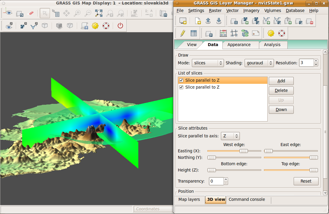
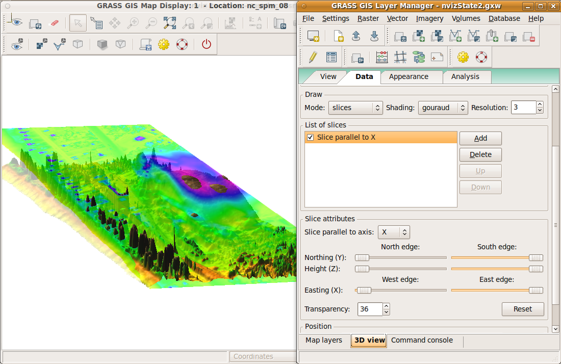
| 12:42, 14 July 2011 | WxNviz volume slices 1.png (file) |  |
294 KB | Annakrat | 1 | |
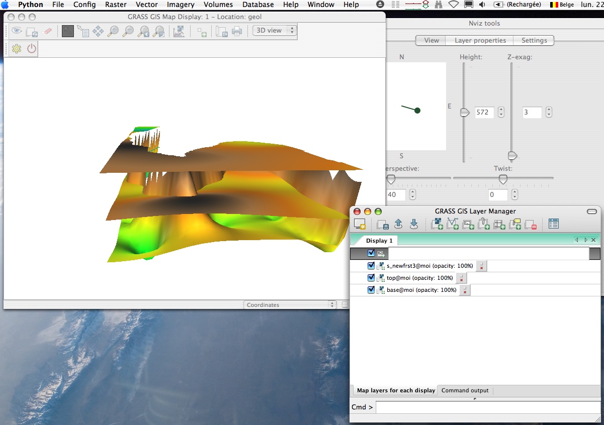
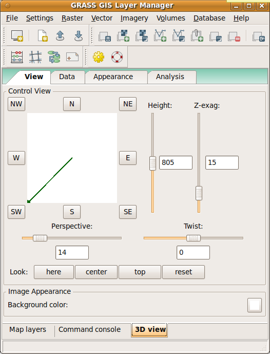
| 11:39, 10 June 2011 | WxNviz view page.png (file) |  |
47 KB | Annakrat | wxNviz view page modified | 1 |
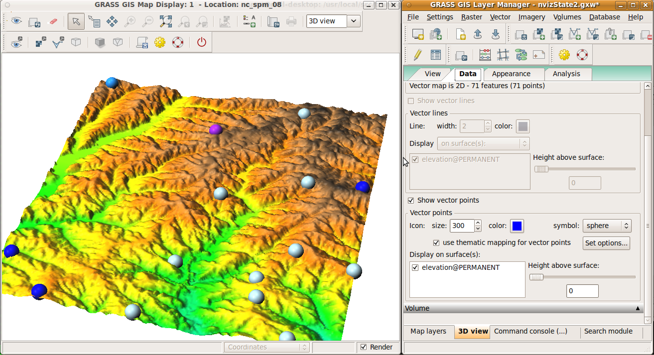
| 18:50, 5 August 2011 | WxNviz thematic points colors.png (file) |  |
666 KB | Annakrat | 1 | |
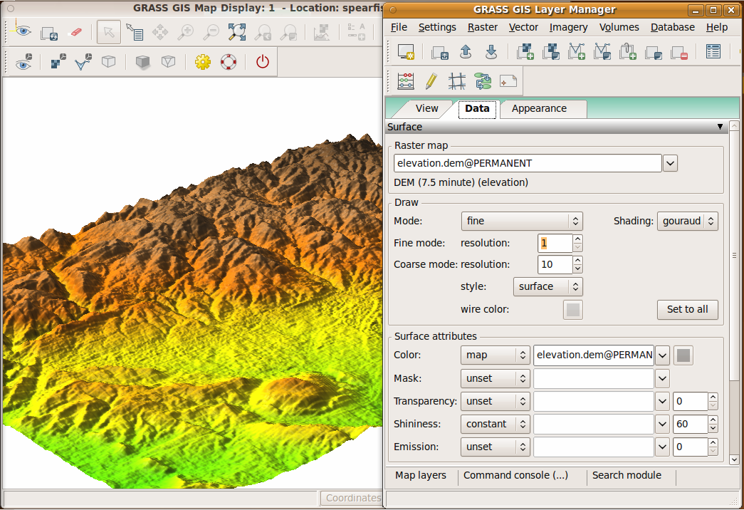
| 08:03, 2 June 2011 | WxNviz surface page.png (file) |  |
601 KB | Annakrat | modified surface page in WxNviz | 1 |
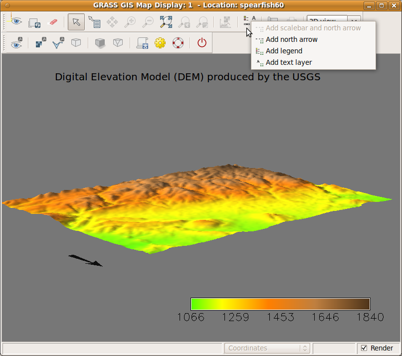
| 18:20, 22 July 2011 | WxNviz overlays.png (file) |  |
140 KB | Annakrat | 1 | |
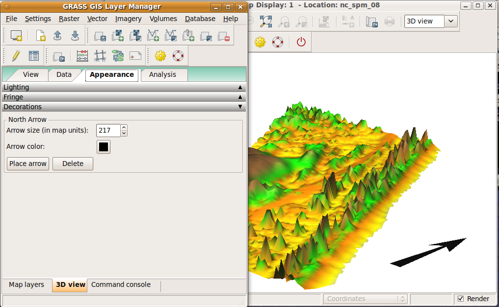
| 18:11, 8 July 2011 | WxNviz north arrow.png (file) | 213 KB | Annakrat | 1 | ||
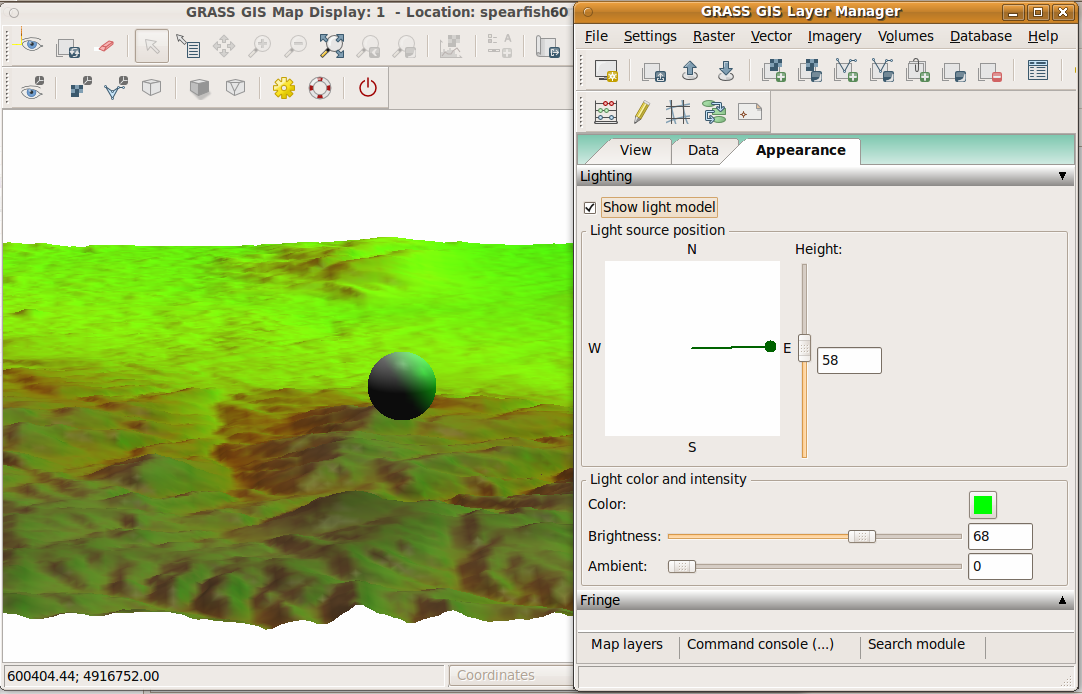
| 08:15, 2 June 2011 | WxNviz lighting.png (file) |  |
300 KB | Annakrat | 1 | |
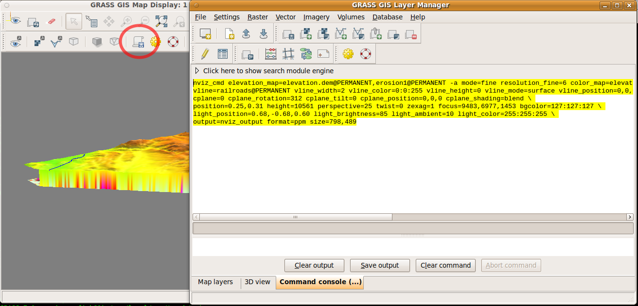
| 20:31, 1 July 2011 | WxNviz generate command.png (file) |  |
131 KB | Annakrat | Command for nviz_cmd generated from wxNviz | 1 |
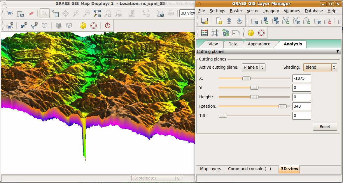
| 11:30, 10 June 2011 | WxNviz cutting planes 2.png (file) |  |
205 KB | Annakrat | Cutting planes, different shading | 1 |
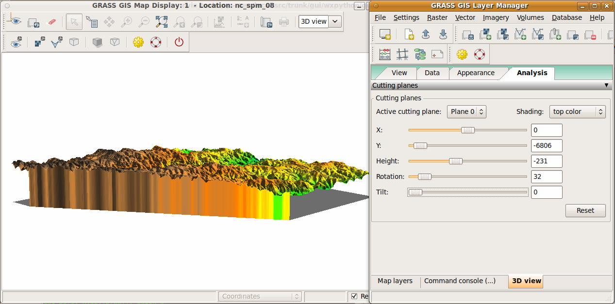
| 11:29, 10 June 2011 | WxNviz cutting planes 1.png (file) |  |
545 KB | Annakrat | Cutting planes | 1 |
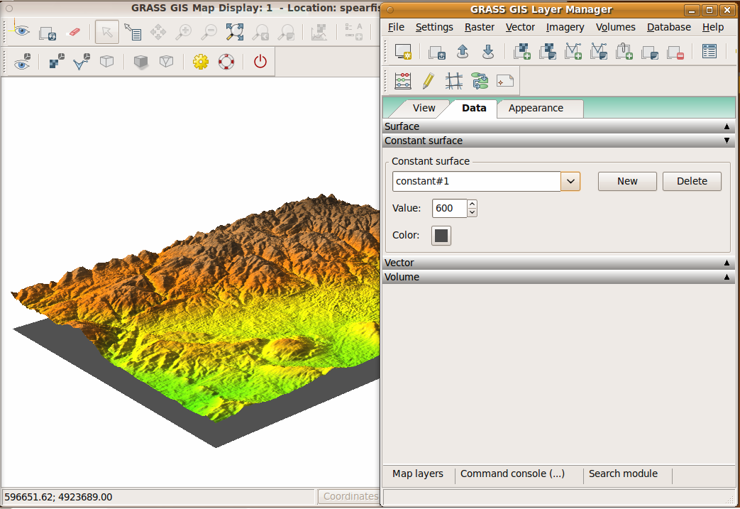
| 08:05, 2 June 2011 | WxNviz constant surface page.png (file) |  |
336 KB | Annakrat | 1 | |
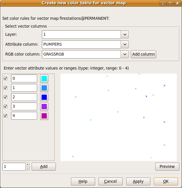
| 18:51, 5 August 2011 | WxNviz colorrules dialog.png (file) |  |
40 KB | Annakrat | 1 | |
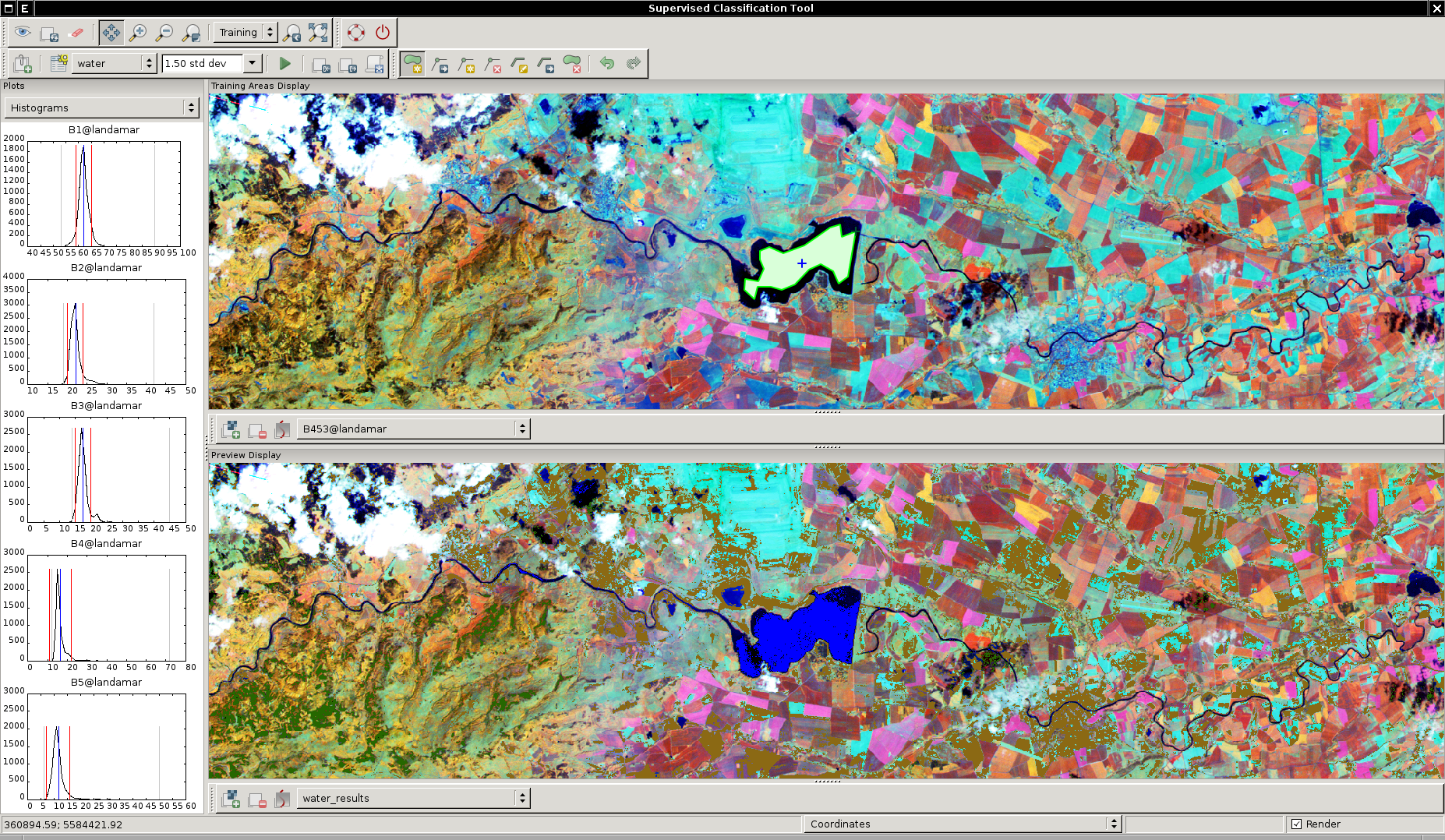
| 20:15, 20 October 2012 | WxIClass.png (file) |  |
1.85 MB | ⚠️Landa | wxGUI Supervised Classification Tool in action {{wxGUI}} | 1 |
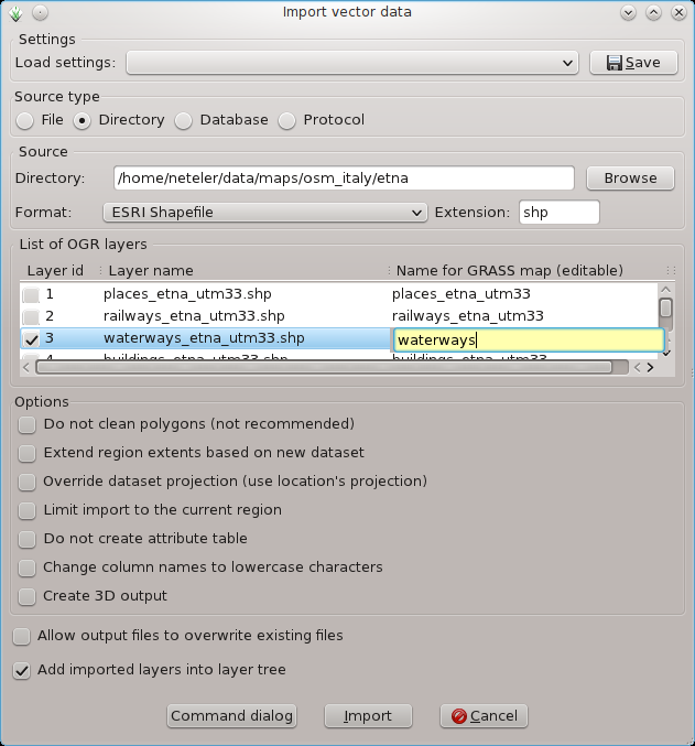
| 18:53, 1 April 2012 | WxGUI vector bulk import2.png (file) |  |
75 KB | Neteler | Bulk import of multiple SHAPES via menu (files are auto-selected) | 1 |
| 18:52, 1 April 2012 | WxGUI vector bulk import1.png (file) |  |
51 KB | Neteler | Bulk import of vector files via menu | 1 |
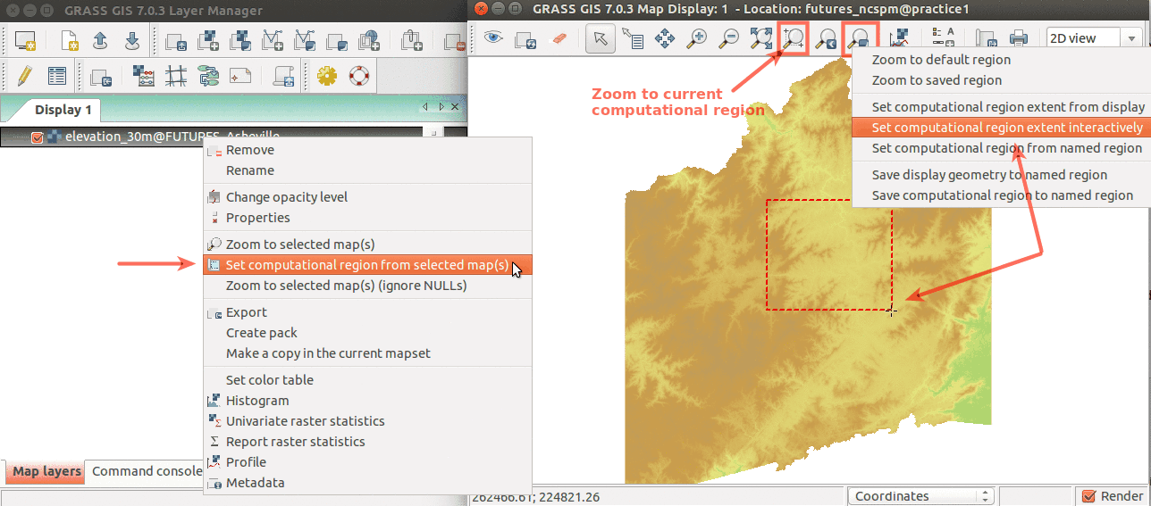
| 03:27, 17 March 2016 | WxGUI set region.png (file) |  |
118 KB | Annakrat | Simple ways to set computational region from GUI. On the left, set region based to match raster map. On the right, select the highlighted option and then set region by drawing rectangle. | 1 |
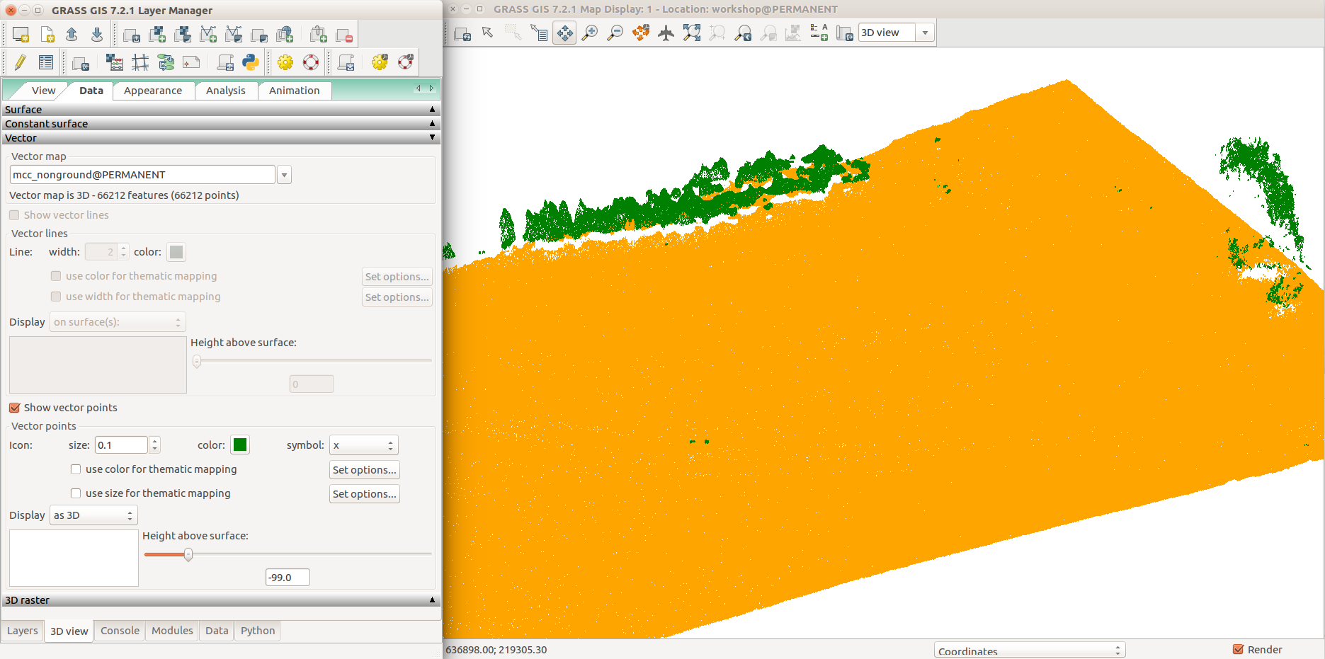
| 04:09, 6 August 2017 | WxGUI nviz with point cloud ground and non-ground data tab.png (file) |  |
162 KB | ⚠️Wenzeslaus | GRASS GIS 7.2 3D view in wxGUI, 3D view tab, Data tab, group point cloud (orange), non-ground point cloud (green), all points | 1 |
| 02:37, 17 March 2016 | WxGUI module search.png (file) |  |
15 KB | Annakrat | Fulltext module search in wxGUI (searching in module name, description, keywords) | 1 |
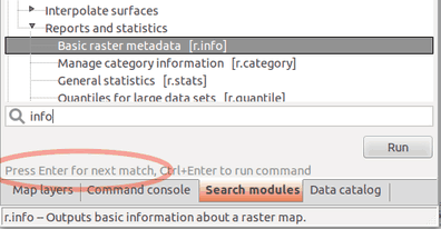
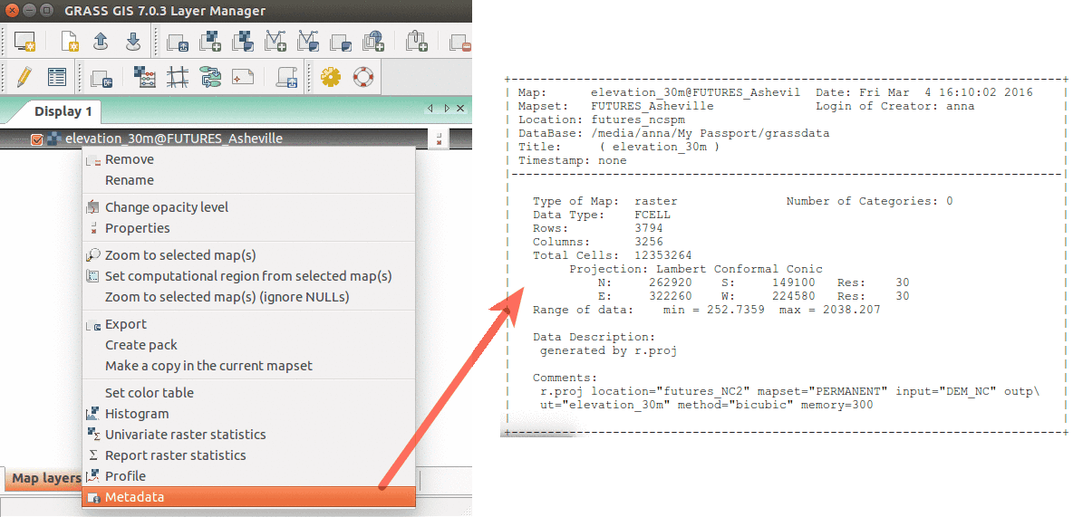
| 03:41, 17 March 2016 | WxGUI metadata rinfo.png (file) |  |
65 KB | Annakrat | Show raster map metadata by right click on layer | 1 |
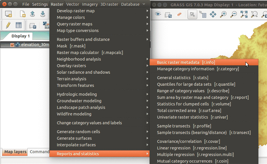
| 02:50, 17 March 2016 | WxGUI menu rinfo.png (file) |  |
101 KB | Annakrat | r.info module accessible from wxGUI menu | 2 |
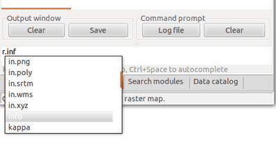
| 02:39, 17 March 2016 | WxGUI console completion.png (file) |  |
10 KB | Annakrat | Running GRASS modules from wxGUI command console. Module name is autocompleted. | 1 |
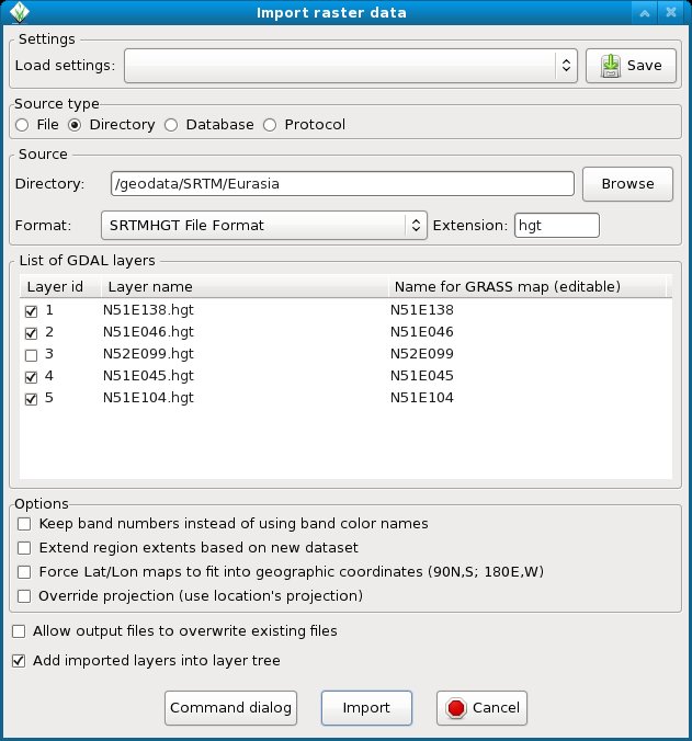
| 12:14, 10 July 2012 | WxGUI bulk srtm import.jpg (file) |  |
85 KB | Neteler | Bulk import of SRTM (remember to add 'hgt' into the extension field) | 1 |
| 08:53, 1 May 2011 | WxGUI bulk raster import2.png (file) |  |
74 KB | Neteler | Bulk import of GeoTIFF 2 | 1 |
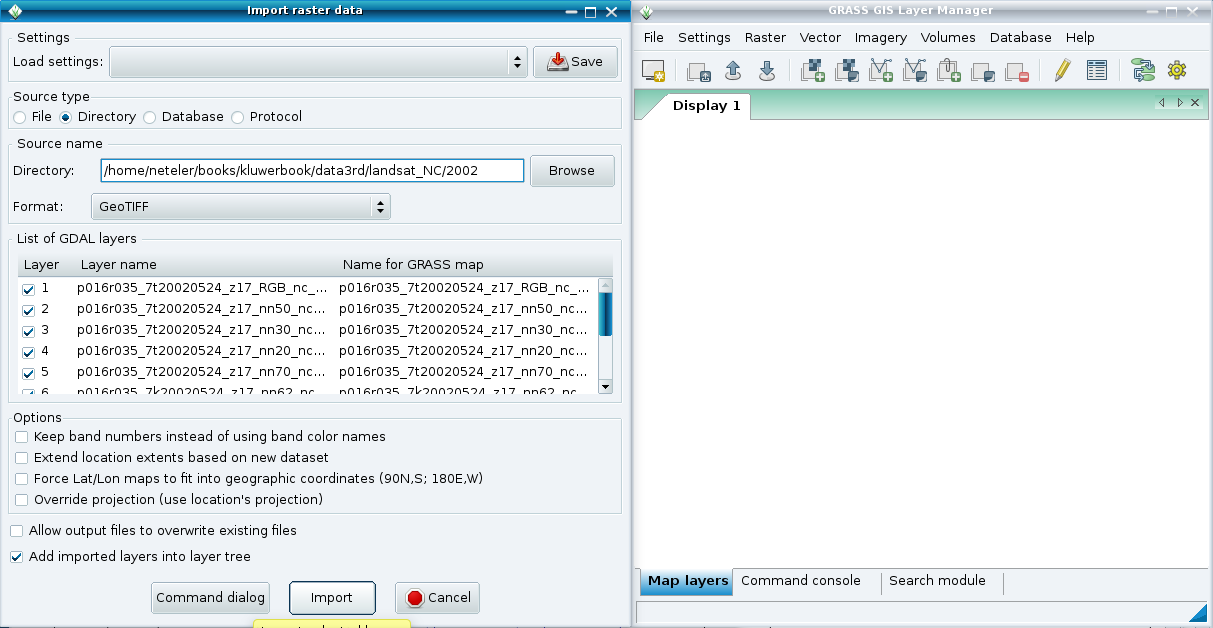
| 08:53, 1 May 2011 | WxGUI bulk raster import1.png (file) |  |
73 KB | Neteler | Bulk import of GeoTIFF 1 | 1 |