Gallery of new files
Jump to navigation
Jump to search
This special page shows the last uploaded files.
-
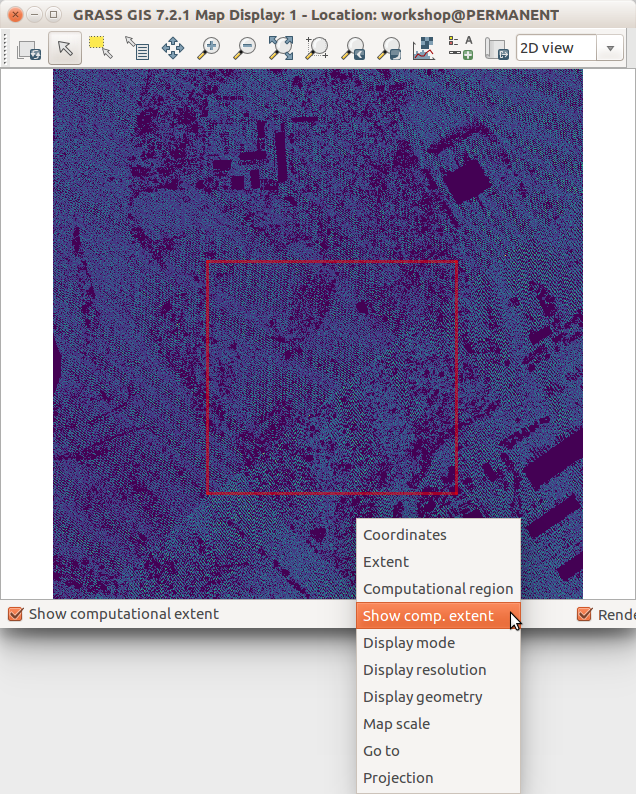
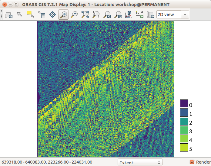 Lidar point density with fine resolution showing swath overlap.png ⚠️Wenzeslaus
13:37, 1 August 2017
696 × 549; 246 KB
-
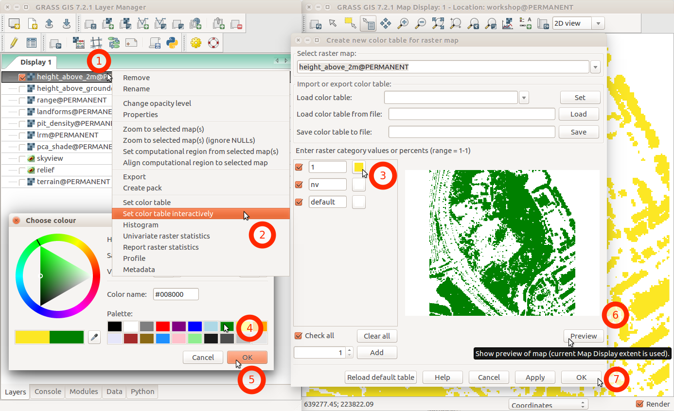 Change color table interactively with menu and labels.png ⚠️Wenzeslaus
02:46, 1 August 2017
1,386 × 846; 231 KB
-
-
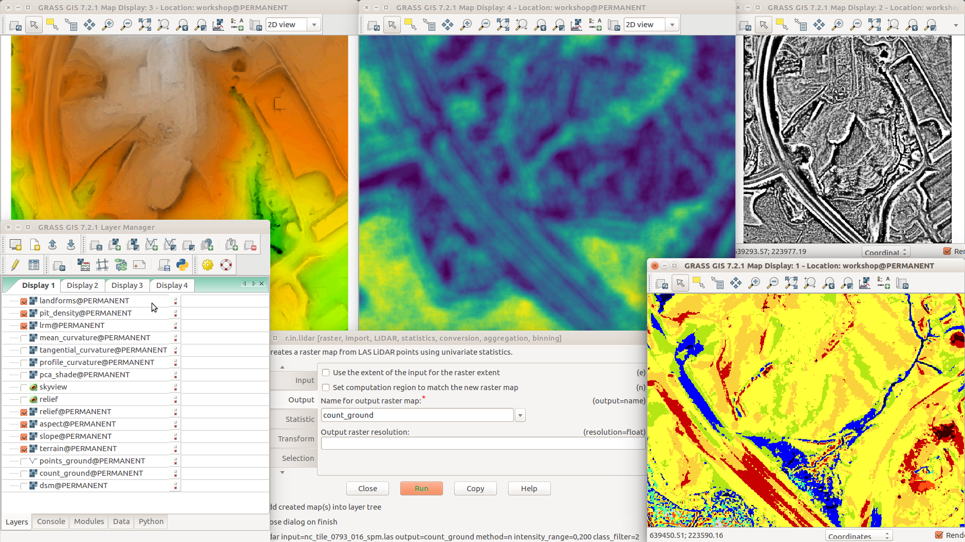 Different terrain analyses and visualizations in multiple Map Displays.png ⚠️Wenzeslaus
02:05, 1 August 2017
1,878 × 1,056; 1,014 KB
-
-
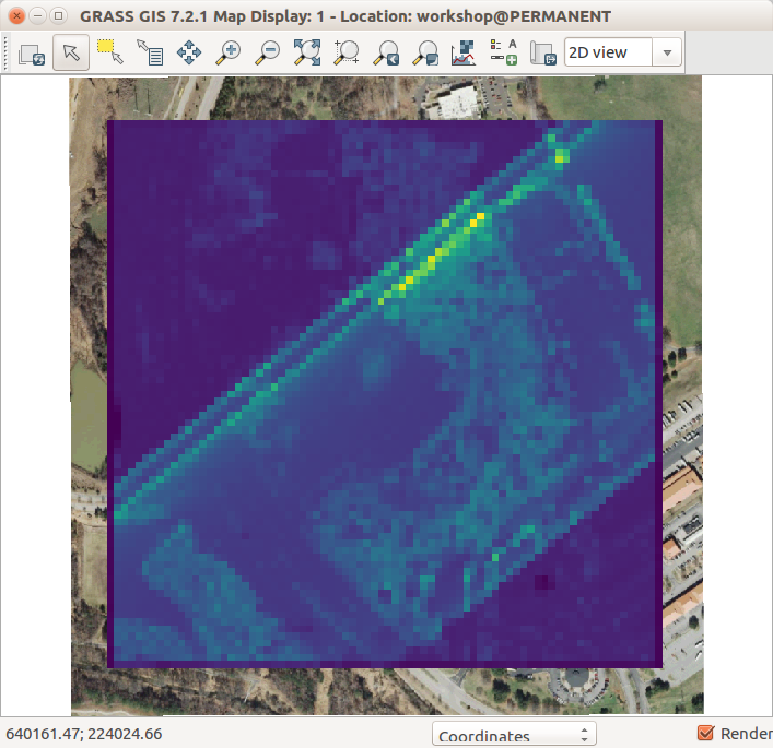 Lidar point density with coarse resolution and ortho in the background.png ⚠️Wenzeslaus
01:48, 1 August 2017
707 × 685; 143 KB
-
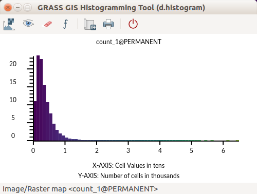 GRASS GIS Histogramming Tool d.histogram - count of point.png ⚠️Wenzeslaus
01:41, 1 August 2017
500 × 378; 24 KB
-
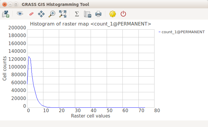 GRASS GIS Histogramming Tool wxPython - count of point.png ⚠️Wenzeslaus
01:41, 1 August 2017
700 × 428; 33 KB
-
-
-
-
-
-
-
-
-
-
-
-


