Gallery of new files
Jump to navigation
Jump to search
This special page shows the last uploaded files.
-
-
-
-
-
-
-
-
-
-
-
-
-
-
-

-
-
-
-
-
-
-
-

-
-
-
-
-
-

-
-
-
-
-
-
-
-
-
-
-
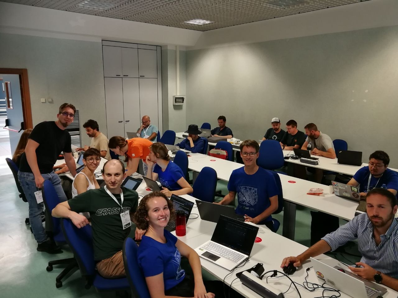
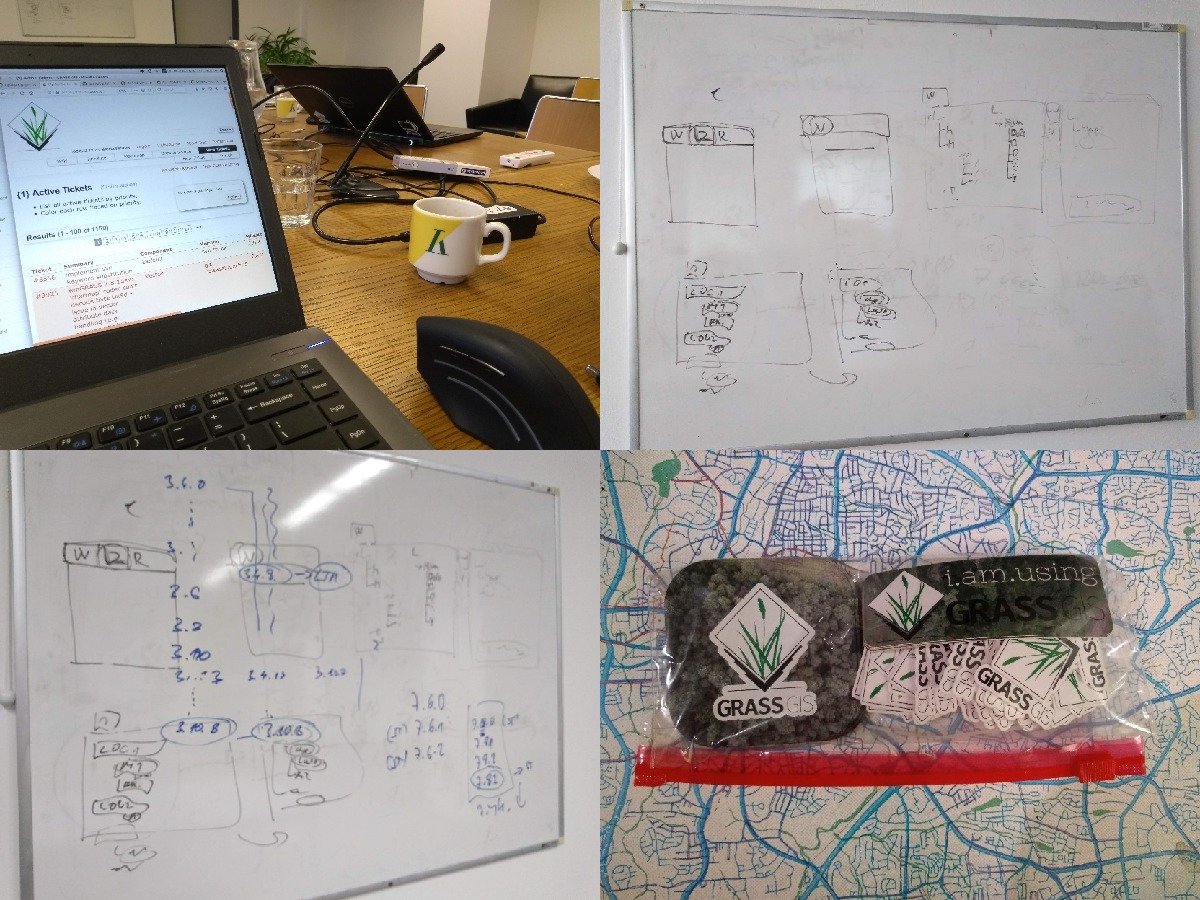
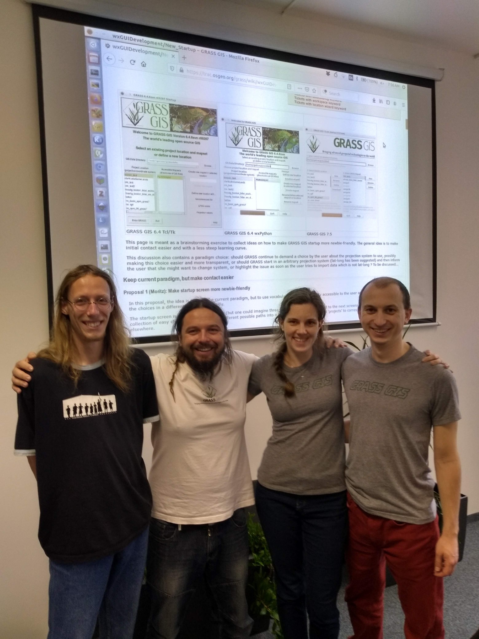
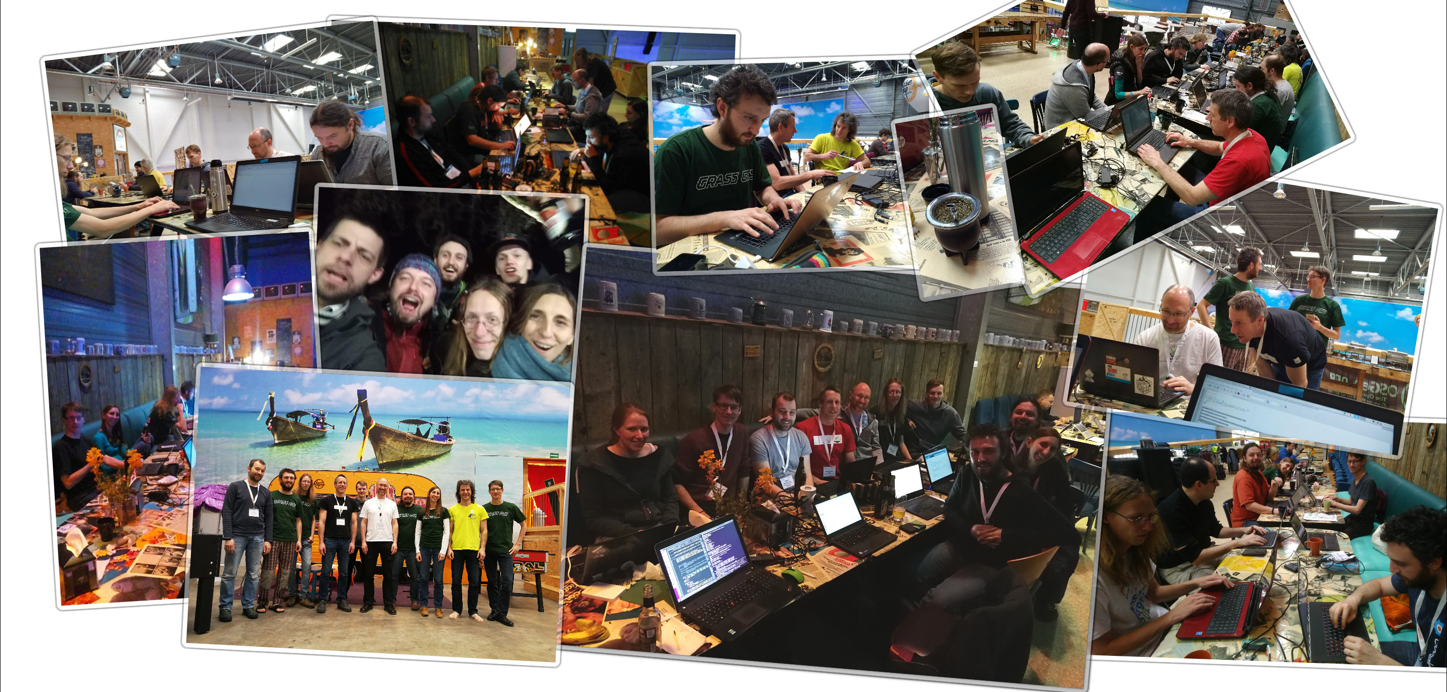
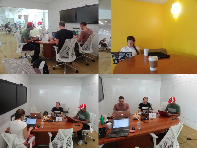
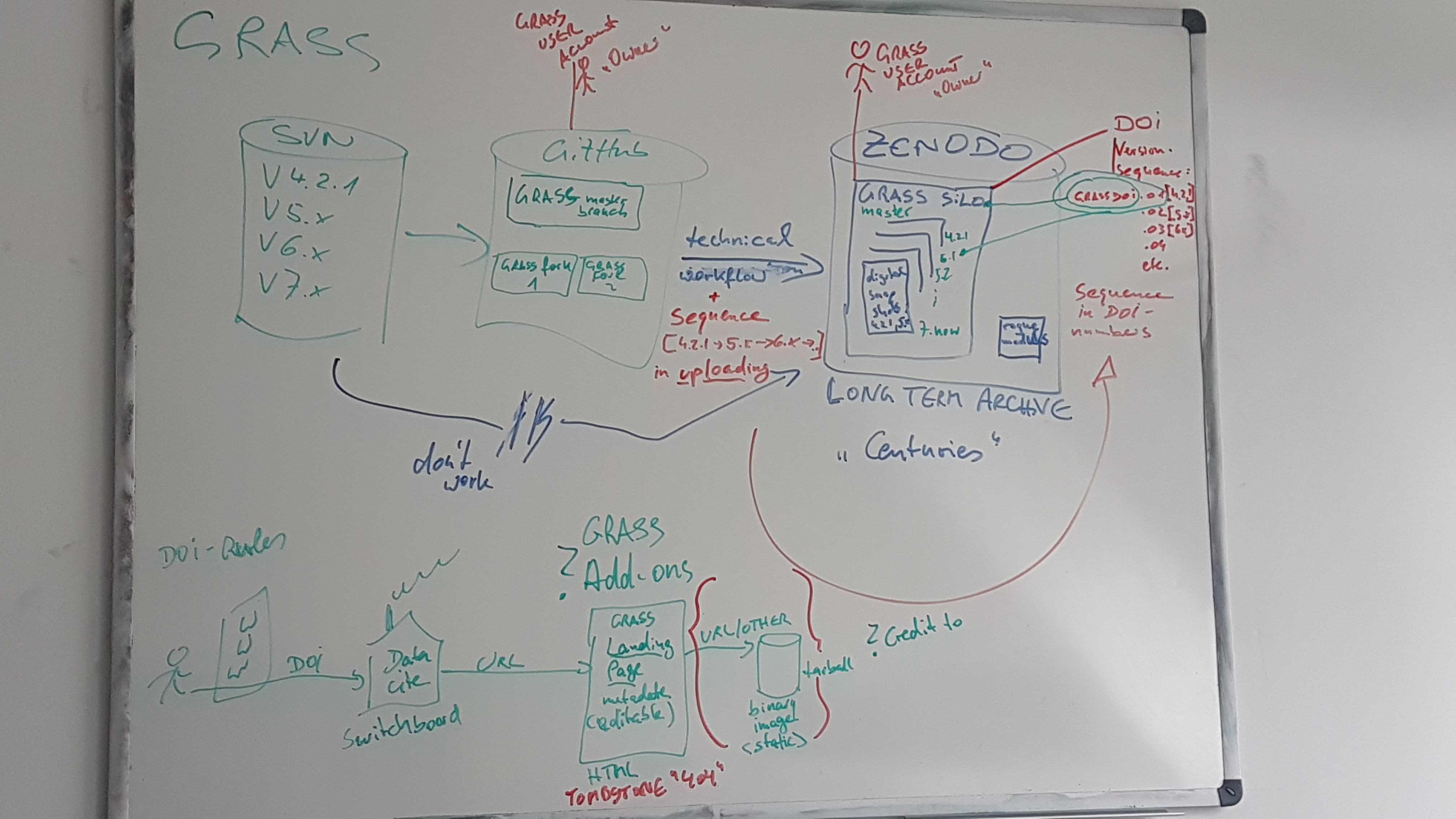 Community-Sprint 2019 Zenodo high level view.jpg ⚠️Peter.loewe
11:24, 18 May 2019
4,032 × 2,268; 1.8 MB
-
-

-
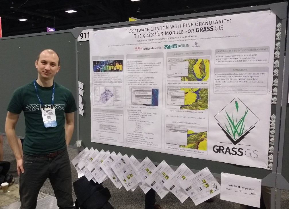
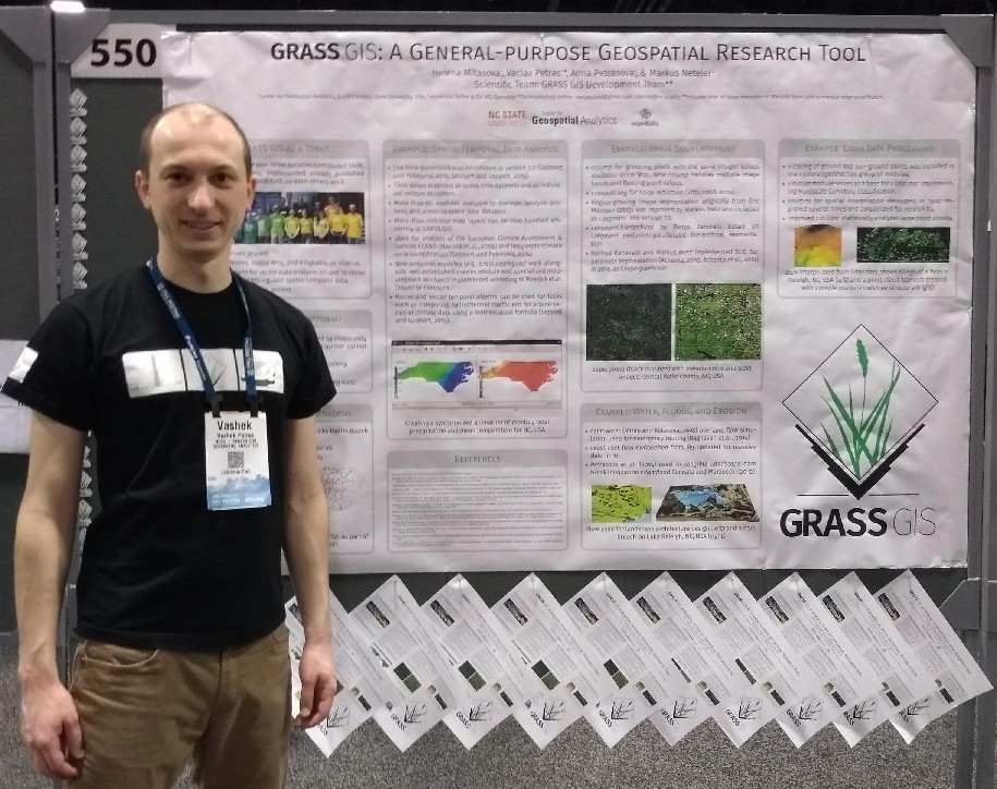
 Mitasova petras 2018 agu grass gis abstract.png ⚠️Wenzeslaus
10:41, 3 January 2019
999 × 562; 752 KB
-
-
-
-
-
-
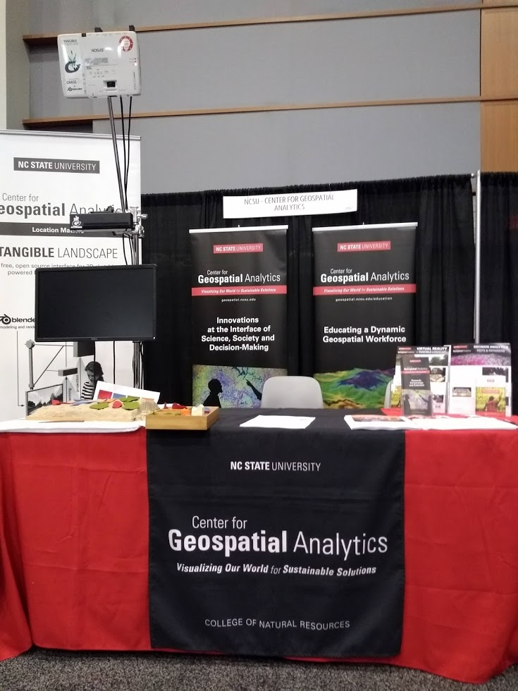
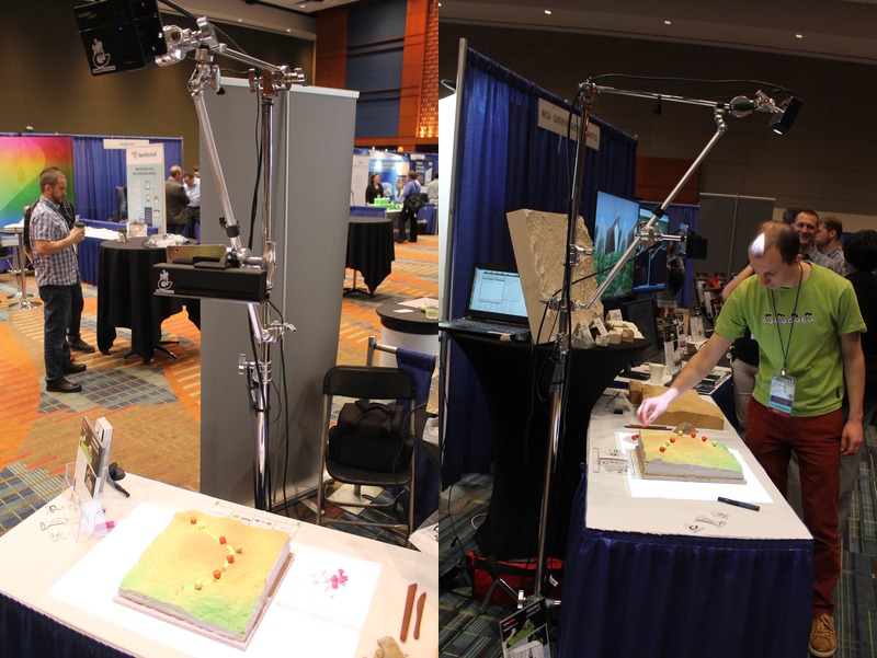
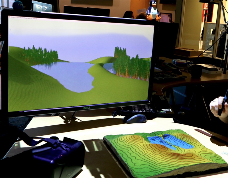
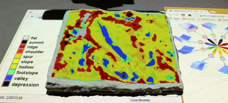
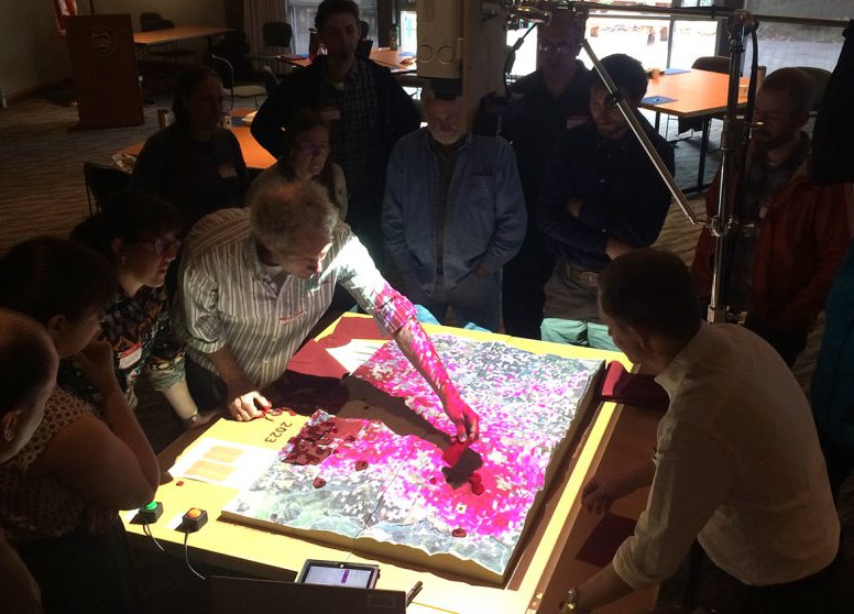 Petrasova gaydos tangible landscape oregon sod workshop.jpg ⚠️Wenzeslaus
10:06, 23 December 2018
776 × 558; 126 KB
-
-
-
-
-
-
-
-
-
-
-
-
-
-
-
-
-
-
-
-
-
-
-
-

-
-
-
-

-

-
-
-
-
-
-
-
-
-
 Map Display with DSM and legend with histogram.png ⚠️Wenzeslaus
21:54, 6 August 2017
783 × 656; 380 KB
-
-
 WxGUI nviz with point cloud ground and non-ground data tab.png ⚠️Wenzeslaus
04:09, 6 August 2017
1,871 × 931; 162 KB
-
-
-
-
-
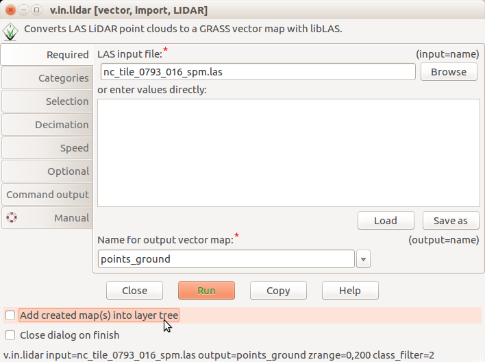
 Counting ground points per cell with r.in.lidar.png ⚠️Wenzeslaus
19:16, 1 August 2017
1,206 × 1,176; 231 KB
-
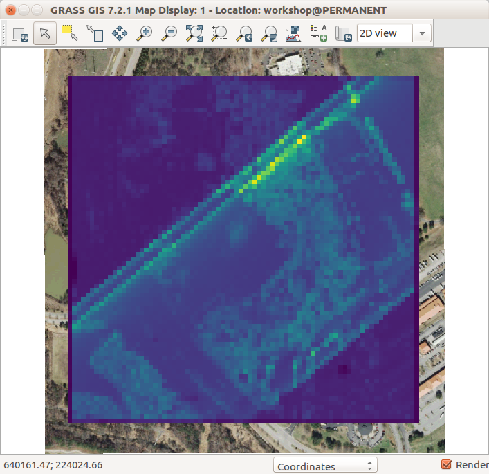
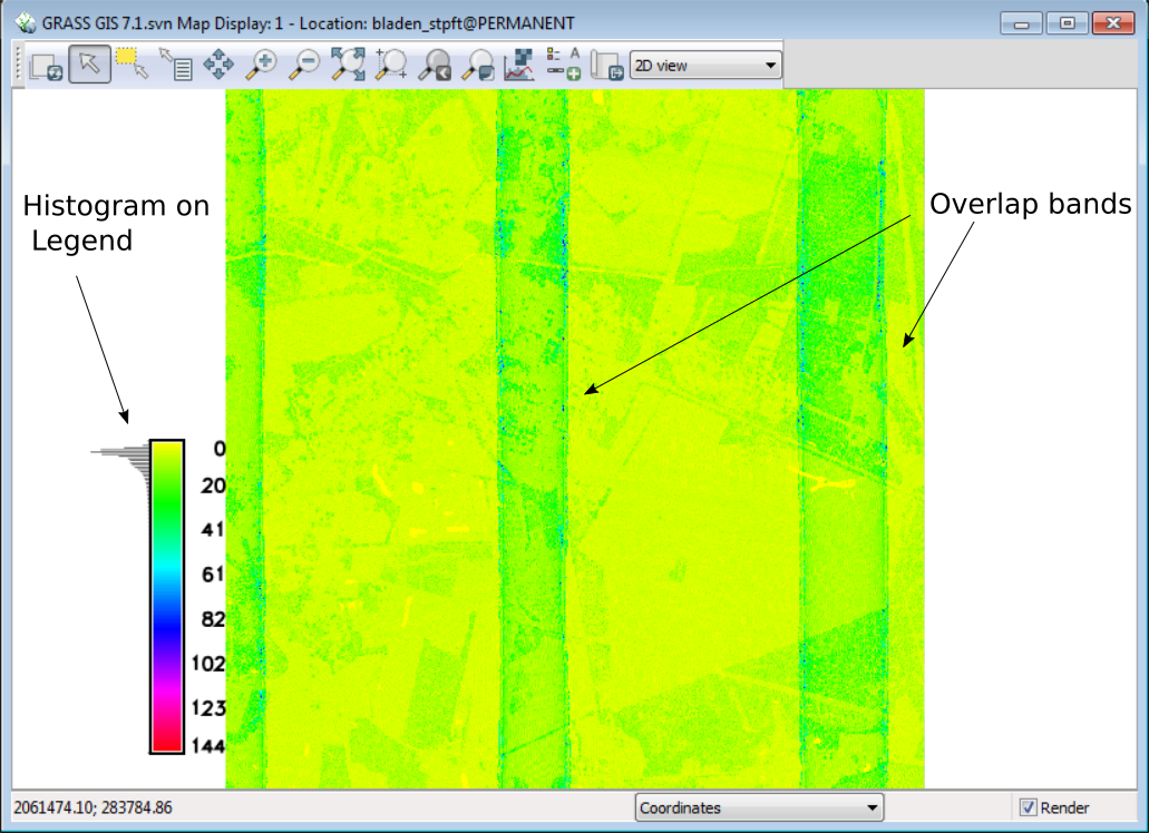
 Lidar point density with fine resolution showing swath overlap.png ⚠️Wenzeslaus
13:37, 1 August 2017
696 × 549; 246 KB
-
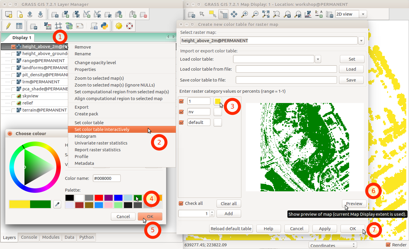 Change color table interactively with menu and labels.png ⚠️Wenzeslaus
02:46, 1 August 2017
1,386 × 846; 231 KB
-
-
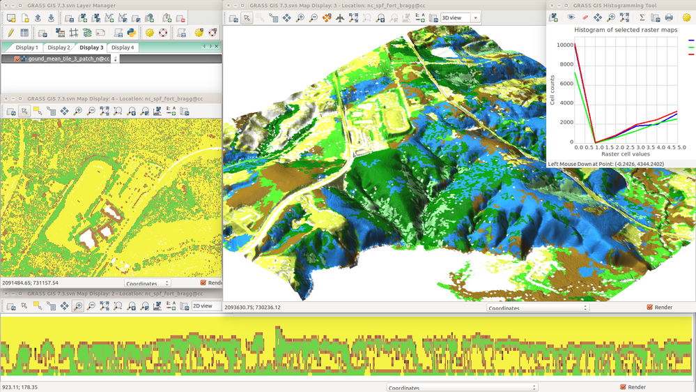
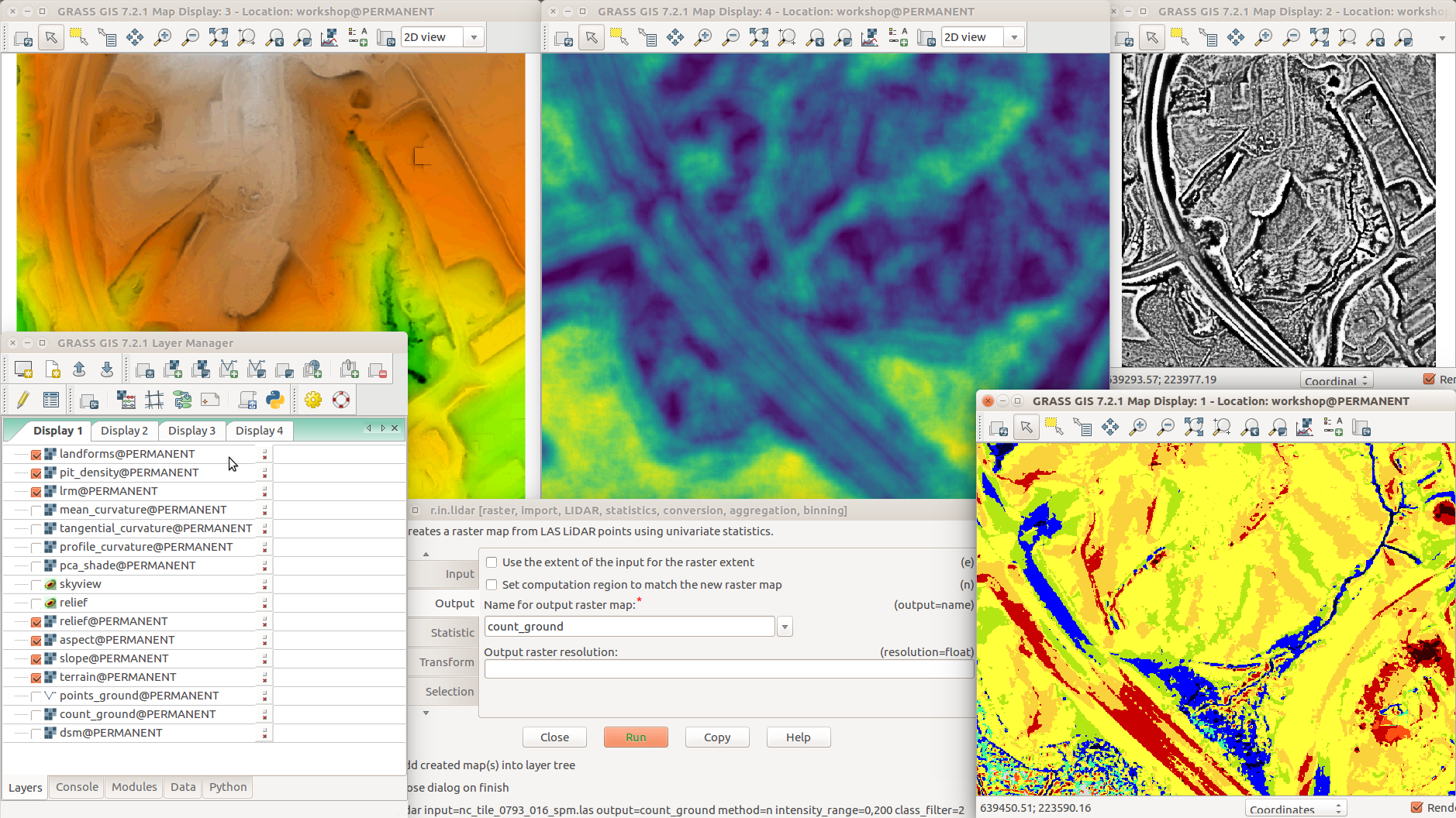 Different terrain analyses and visualizations in multiple Map Displays.png ⚠️Wenzeslaus
02:05, 1 August 2017
1,878 × 1,056; 1,014 KB
-
-
 Lidar point density with coarse resolution and ortho in the background.png ⚠️Wenzeslaus
01:48, 1 August 2017
707 × 685; 143 KB
-
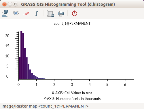 GRASS GIS Histogramming Tool d.histogram - count of point.png ⚠️Wenzeslaus
01:41, 1 August 2017
500 × 378; 24 KB
-
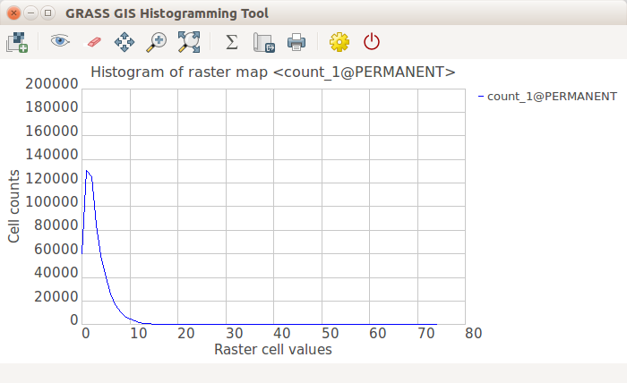 GRASS GIS Histogramming Tool wxPython - count of point.png ⚠️Wenzeslaus
01:41, 1 August 2017
700 × 428; 33 KB
-
-
-
-
-
-
-
-
-
-
-
-
-
-
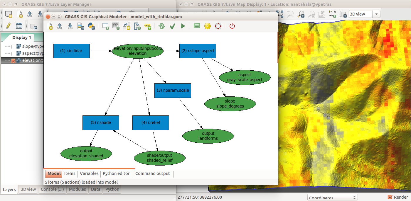 Graphical Modeler with r.in.lidar and terrain analysis.png ⚠️Wenzeslaus
17:35, 19 July 2017
1,400 × 686; 457 KB
-
-
-
-
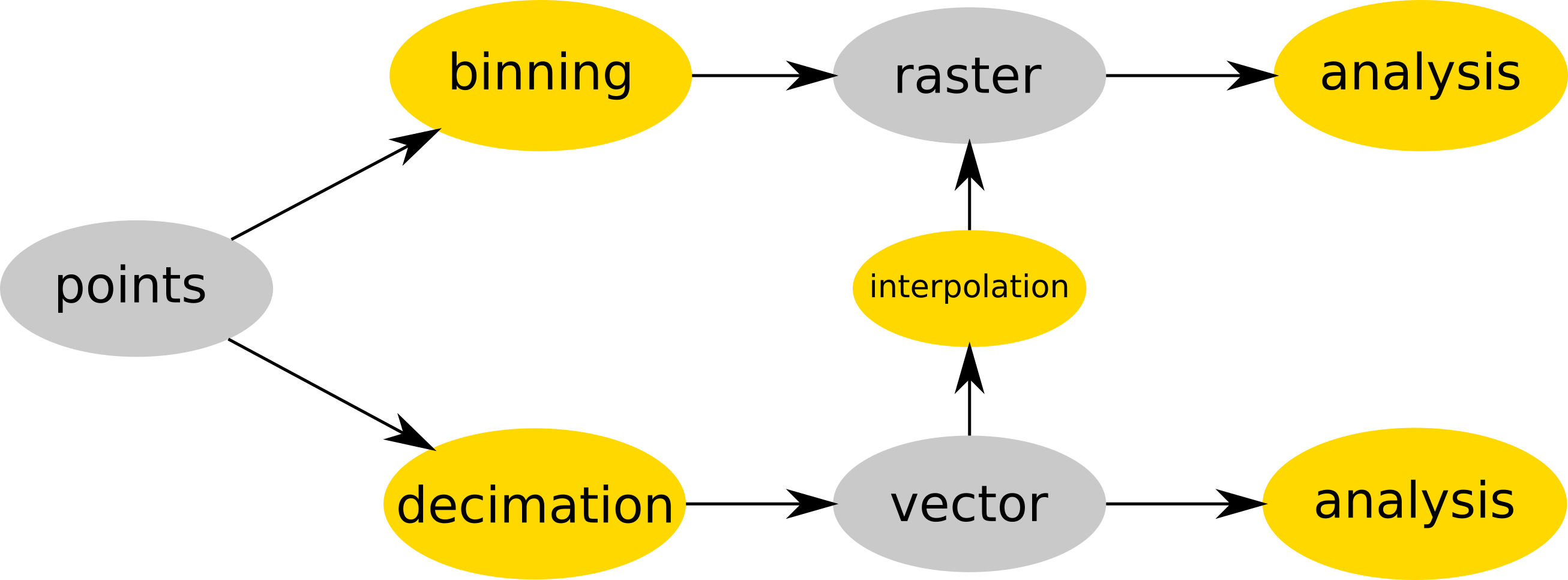 Binning and decimation workflow schema for point clouds.png ⚠️Wenzeslaus
15:17, 19 July 2017
2,613 × 966; 127 KB
-
-
-

-

-
-
-
-
-
-
-
-
-
-
-

-

-
-
-
-
-
-
-
-
-
-
-
-
-
-
-
-
-
-
-
-
-

-

-
-

-

-
-
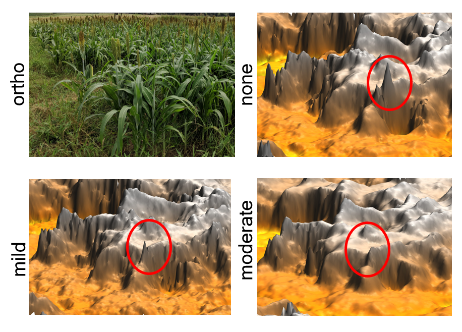
 Seamless fusion of high-resolution DEMs from multiple sources.png ⚠️Wenzeslaus
00:06, 26 February 2017
1,315 × 895; 718 KB
-
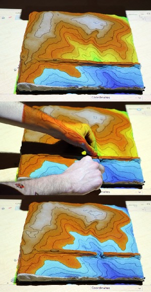
 Tangible landscape and blender with water and trees.jpg ⚠️Wenzeslaus
23:59, 25 February 2017
800 × 623; 121 KB
-
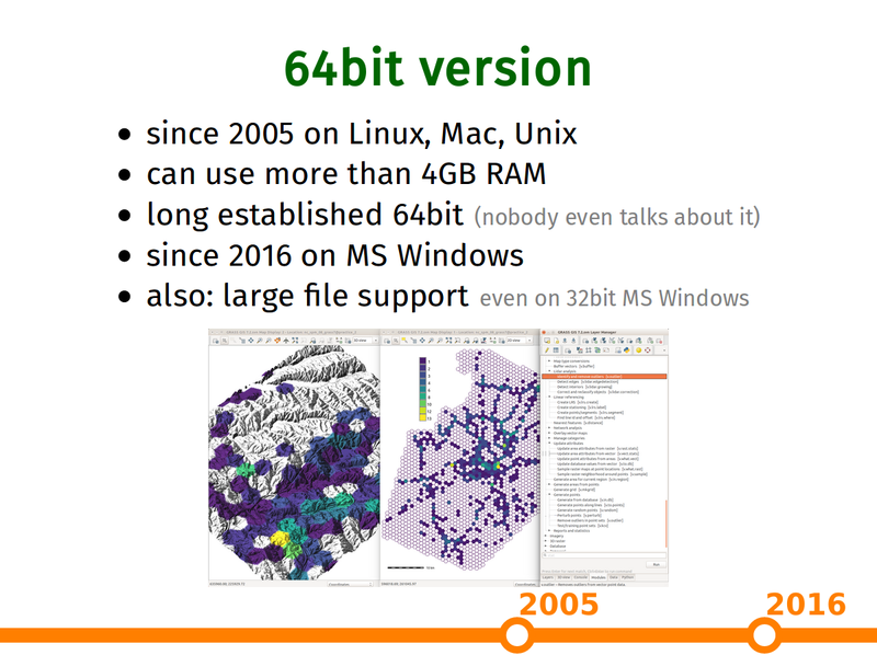 Grass gis as platform presentation 64bit slide.png ⚠️Wenzeslaus
22:32, 25 February 2017
800 × 598; 271 KB
-
-
-
-
-
-
-

-
-
-
-
-
-

-
-
-
-
-
-

-
-
-

-
-
-
-
-

-

-
-
-
-

-
-
-
-
-
-

-
-
-
-
-
-
-
-
-
-
-
-
-
-
-
-
-
-
-
-
-
-
-
-
-
-
-
-
-
-

-
-
-
-
-
-
-
-
-
-
-
-
-
-
-
-
-
-
-
-
-
-
-

-
-
-
-

-

-
-
-
-
-
-
-

-
-
-
-
-
-
-
-
-
-
-
-
-
-
-
-
-

-
-
-
-
-
-

-
-
-
-
-
-
-
-

-

-
-

-
-
-
-
-
-
-

-
-
-
-
-
-
-
-
-
-
-
-
-
-
-
-
-
-
-
-
-
-
-
-
-
 Location wizard select Planetary Ellipsoid Page3.png ⚠️Ychemin
10:18, 12 March 2016
758 × 484; 112 KB
-
 Location wizard select Planetary Ellipsoid Page2.png ⚠️Ychemin
10:16, 12 March 2016
760 × 482; 120 KB
-
 Location wizard select Planetary Ellipsoid Page1.png ⚠️Ychemin
10:09, 12 March 2016
756 × 482; 105 KB
-
 Location wizard select Planetary Ellipsoid Page.png ⚠️Ychemin
10:05, 12 March 2016
756 × 481; 118 KB
-
-
-
-
-
-
-
-
-

-
-
-
-
-
-
-
-
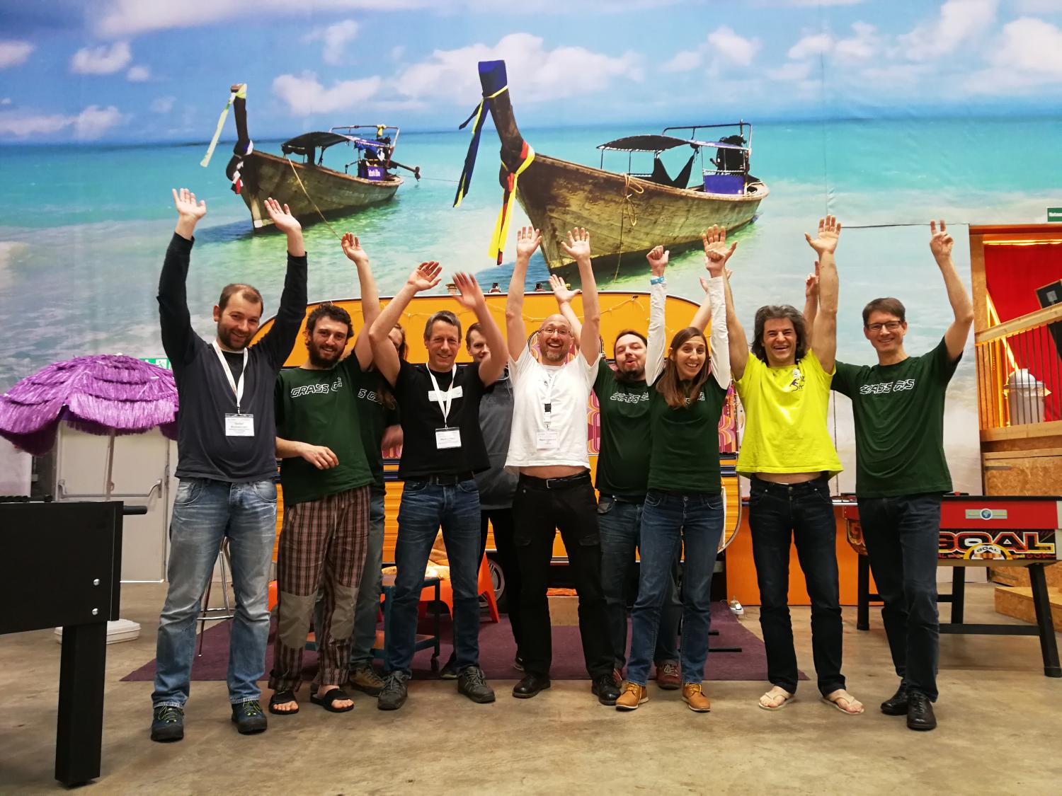
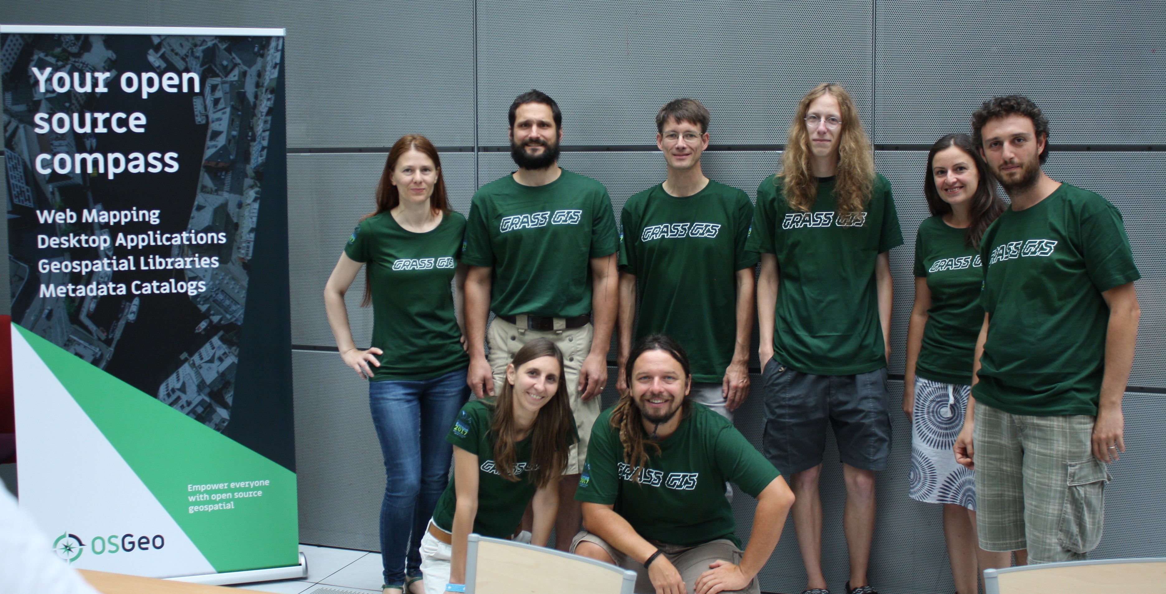
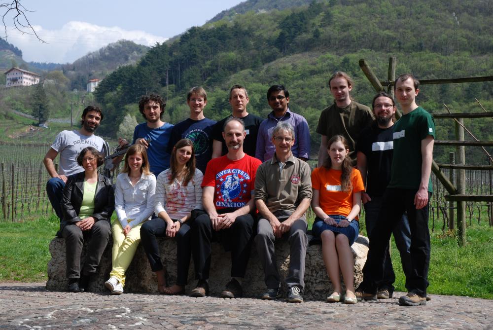
 GRASS GIS contributors meetings in San Michele February 2016.jpg Neteler
17:17, 23 February 2016
1,600 × 1,071; 343 KB
-
-
-
-
-
-
-
-
-
-
-
-
-
-
-
-

-
-
-
-
-
-
-
-
-
-
-
-
-

-
-
-
-
-
-
-
-
-
-
-
-
-
-
-
-
-
-
-

-
-
-
-
-
-
-
-
-
-
-
-
-

-
-

-

-

-

-

-

-
-

-

-

-

-

-
-
-
-
-
-
-
-
-
-
-
-

-

-

-

-
-
-
-
-
-
-
-
-
-
-
-
-
-
-
-
-
-

-
-
-
-
-
-
-

-
-
-
-
-
-
-
-
-
-
-
-
-
-
-

-
-
-

-
-
-
-
-
-
-
-
-
-
-
-

-
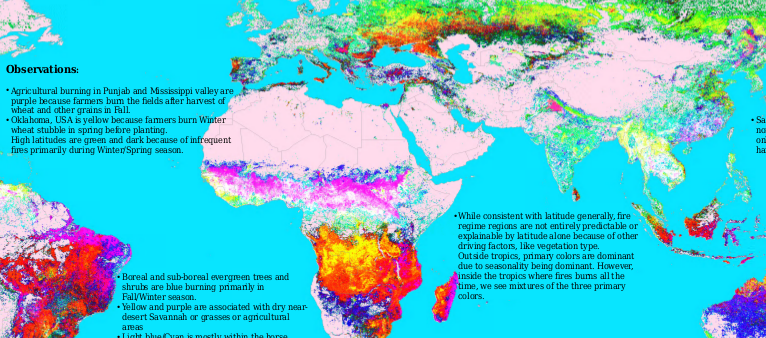
 Pan 04APR05050541-M2AS-000000186011 01 P001.jpg ⚠️NikosA
19:30, 15 November 2013
1,024 × 592; 163 KB
-


