Search results
Jump to navigation
Jump to search
Page title matches
 (648 × 508 (34 KB)) - 14:31, 26 July 2013
 (648 × 508 (28 KB)) - 14:32, 26 July 2013
 (648 × 508 (26 KB)) - 14:33, 26 July 2013
- ...in Asheville April 3, 2016. This workshop introduces GRASS GIS and FUTURES urban growth modeling framework. ...RES)<sup>[1]</sup> which is a model for multilevel simulations of emerging urban-rural landscape structure. FUTURES produces regional projections of landsca ...50 KB (7,481 words) - 21:24, 23 January 2020
- 5 KB (677 words) - 02:00, 1 April 2016


Page text matches
- ...mulation (FUTURES) which is a model for multilevel simulations of emerging urban-rural landscape structure. ...4 members (0 subcategories, 0 files) - 07:47, 17 February 2016
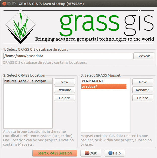 GRASS GIS 7.0.3 startup screen with data for Asheville FUTURES urban growth workshop. ...(624 × 627 (55 KB)) - 15:30, 28 March 2016
- - Urban Studies Certificate ...146 bytes (19 words) - 08:53, 5 November 2013
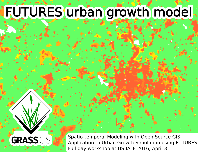 Picture for Spatio-temporal Modeling with Open Source GIS: Application to Urban Growth Simulation using FUTURES workshop at US-IALE 2016 Annual Meeting in ...(795 × 609 (260 KB)) - 20:03, 24 February 2016
- Topographic engineer with interest in working in areas of: Urban Planning, fieldwork, remote sensing, cartography, GIS application design. I ...261 bytes (36 words) - 14:47, 12 January 2015
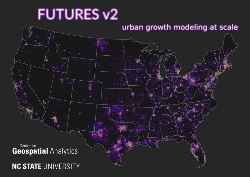 ..., Georgina Sanchez, Vaclav Petras, Ross K. Meentemeyer (2021). FUTURES v2: Urban Growth Modeling at Scale. NC GIS Virtual Conference, February 16-19, 2021. ...(800 × 566 (409 KB)) - 16:56, 11 February 2021
- ...s also reviewer of international scientific journals such as Landscape and Urban Planning, Ecological Indicators, International Journal of Geo-Information, ...823 bytes (112 words) - 16:08, 13 March 2015
- ...|thumb|right|Spatio-temporal Modeling with Open Source GIS: Application to Urban Growth Simulation using FUTURES]] ...rg/workshops Spatio-temporal Modeling with Open Source GIS: Application to Urban Growth Simulation using FUTURES]'', US-IALE 2016 Annual Meeting, April 3, 2 ...5 KB (781 words) - 23:09, 27 February 2017
- === FUTURES v2: Urban Growth Modeling at Scale === ...trasova, A., Sanchez, G., Petras, V., Meentemeyer, R.K. (2021) FUTURES v2: Urban Growth Modeling at Scale. NC GIS Conference. February 2021. [https://doi.or ...5 KB (700 words) - 18:42, 22 April 2021
- ...Local Economies And Conservation Efforts''. Presentation in Applications - Urban and Regional Planning session at NCGIS2017 Raleigh, NC, USA, Feb. 22-24, 20 ...ng stakeholders untangle complex urban-related challenges related to rapid urban growth. ...10 KB (1,482 words) - 03:03, 3 March 2019
- === Open source approach to urban growth simulation === ...e.png|300px|thumb|right|Urban growth projection (''Open source approach to urban growth simulation'')]] ...16 KB (2,298 words) - 09:27, 28 September 2016
- * Hofierka, J., Kaňuk, J. (2009): Assessment of Photovoltaic Potential in Urban Areas Using Open-Source Solar Radiation Tools. Renewable Energy. In Press. * F Geri, S Sacchelli, I Bernetti and M Cioll, 2018. Urban-Rural Bioenergy Planning as a Strategy for the Sustainable Development of I ...7 KB (928 words) - 13:45, 29 May 2018
- .../manuals/addons/r.futures.html r.futures.*] is an implementation of FUTure Urban-Regional Environment Simulation (FUTURES) which is a model for multilevel simulations of emerging urban-rural landscape structure. ...23 KB (3,298 words) - 08:38, 6 September 2023
- ...pedestrians in public spaces. While STC has already been used to visualize urban dynamics, this is the first study analyzing the evolution of pedestrian den ...12 KB (1,639 words) - 01:42, 18 July 2017
- ...n studying pattern and distribution of human population an the relation of urban green in the USA's cities. In May 2013 he started a three-year position in ...4 KB (530 words) - 21:06, 21 September 2015
- 1=111 Continuous urban fabric 2=112 Discontinuous urban fabric ...11 KB (1,617 words) - 03:47, 2 July 2019
- ...e, N., Wolff, E., 2017. An Open-Source Semi-Automated Processing Chain for Urban Object-Based Classification. Remote Sensing 9, 358. https://doi.org/10.3390 ...nne, N.R., Wolff, E., 2017. Toward an operational framework for fine-scale urban land-cover mapping in Wallonia using submeter remote sensing and ancillary ...16 KB (2,209 words) - 10:48, 4 December 2018
- ...e_OBIA_processing_chain An open-source semi-automated processing chain for urban OBIA classification] ...7 KB (1,004 words) - 18:51, 29 September 2023
- ...ely interact with GIS data and generate lifelike renderings of natural and urban landscapes for immersive virtual environments. Participants will learn how ...ds, and spatio-temporal data representing behavioral patterns of people in urban environments, we will look not only at the processing but also at the visua ...10 KB (1,475 words) - 03:35, 9 May 2017
- [[Category: Urban]] ...6 KB (926 words) - 03:28, 30 March 2016


