Uncategorized files
Jump to navigation
Jump to search
Showing below up to 100 results in range #1,001 to #1,100.
-
 Scatter plots mapwin connection.png 1,318 × 868; 931 KB
-
 Schermata-Kriging Module.png 935 × 746; 263 KB
-
 Scott.jpg 102 × 118; 9 KB
-
 Screenshot-10.png 1,205 × 848; 74 KB
-
 Screenshot-11.png 1,330 × 847; 72 KB
-
 Screenshot-9.png 1,206 × 850; 70 KB
-
 Screenshot.png 455 × 375; 21 KB
-
 Screenshot from 2023-04-26 22-52-53.png 1,277 × 701; 89 KB
-
 Seamless fusion of high-resolution DEMs from multiple sources.png 1,315 × 895; 718 KB
-
 Selection 409.png 1,871 × 931; 115 KB
-
 Selection by polygon and ellipses.png 1,192 × 865; 711 KB
-
 Sentinel2 tiles.png 1,923 × 955; 448 KB
-
 Sequence.jpg 943 × 694; 39 KB
-
 Sextante grass help folder.png 642 × 476; 48 KB
-
 Sextante grass v dissolve.png 1,369 × 743; 211 KB
-
 Sg fcir.png 925 × 961; 1.04 MB
-
 Shack.png 50 × 50; 239 bytes
-
 Shape.png 491 × 400; 48 KB
-
 Ship.png 800 × 600; 68 KB
-
 Show computational extent in Map Display.png 636 × 794; 239 KB
-
 Simple python editor v buffer.png 799 × 474; 235 KB
-
 SlopePoint bathy.jpg 884 × 946; 246 KB
-
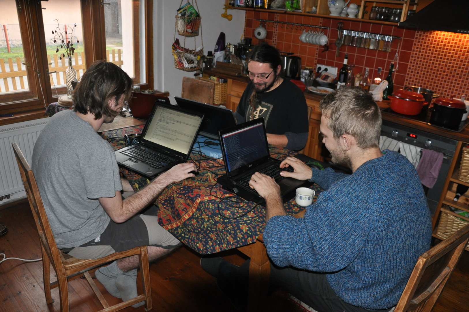 Solany 0015.jpg 1,626 × 1,080; 1.3 MB
-
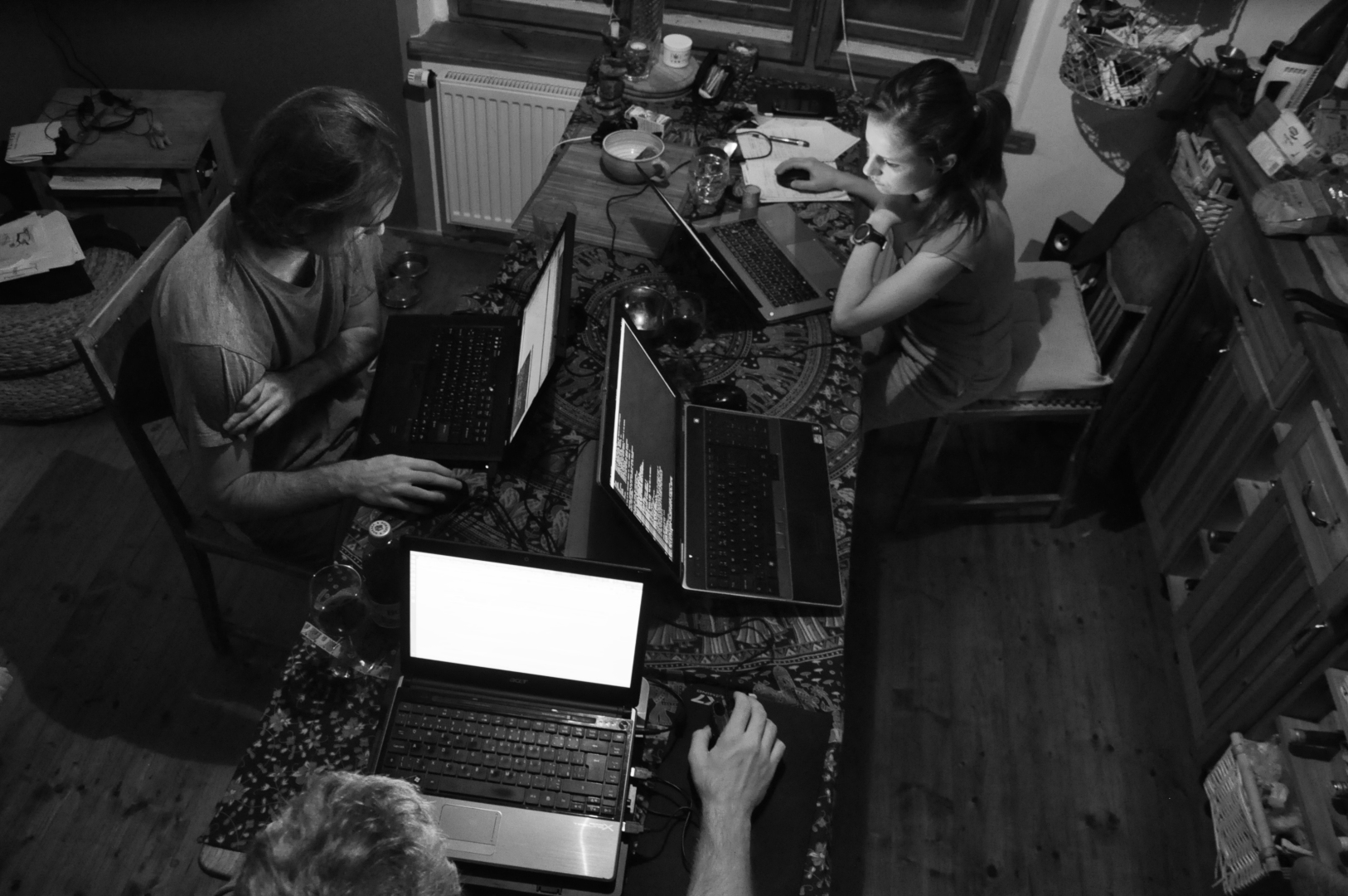 Solany 0026.jpg 1,626 × 1,080; 805 KB
-
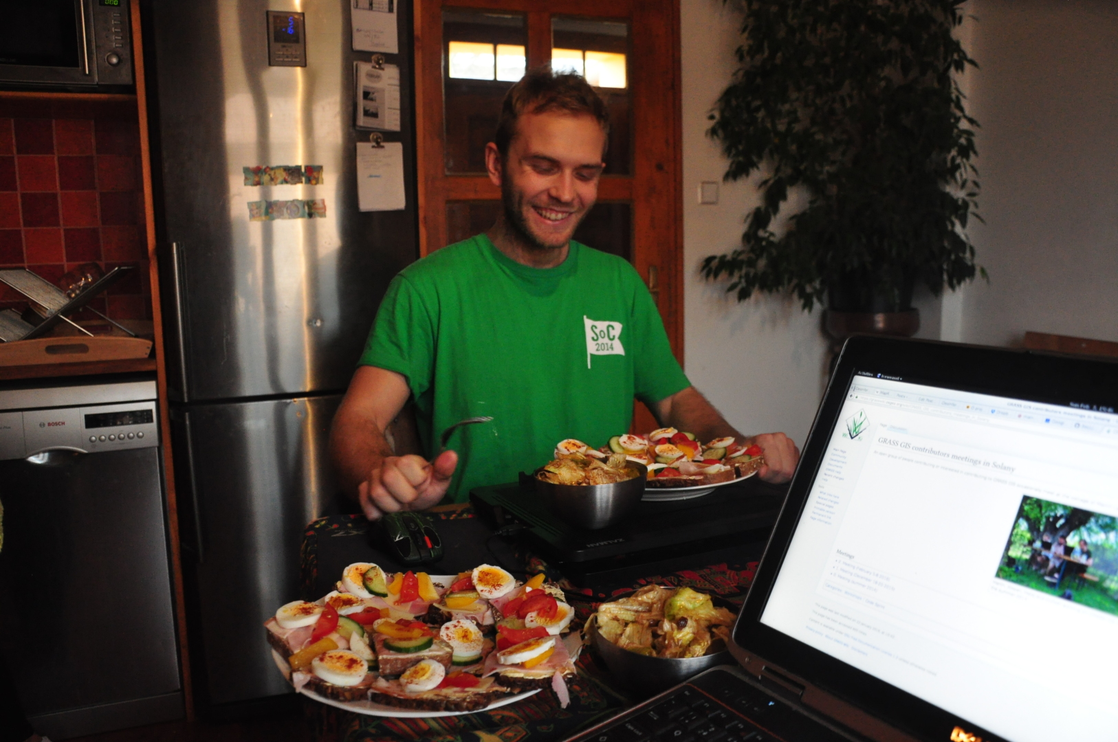 Solany 0059.jpg 1,626 × 1,080; 965 KB
-
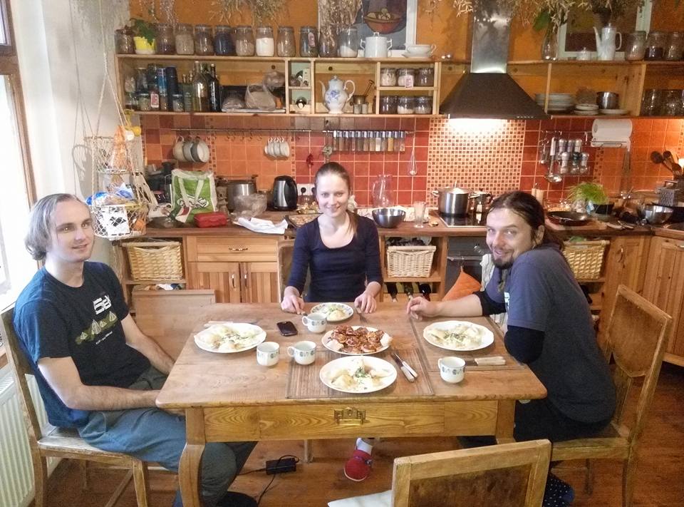 Solany dec 2015 1.jpg 960 × 711; 115 KB
-
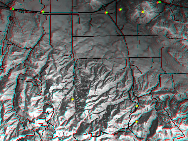 Spearfish anaglyph.png 640 × 480; 629 KB
-
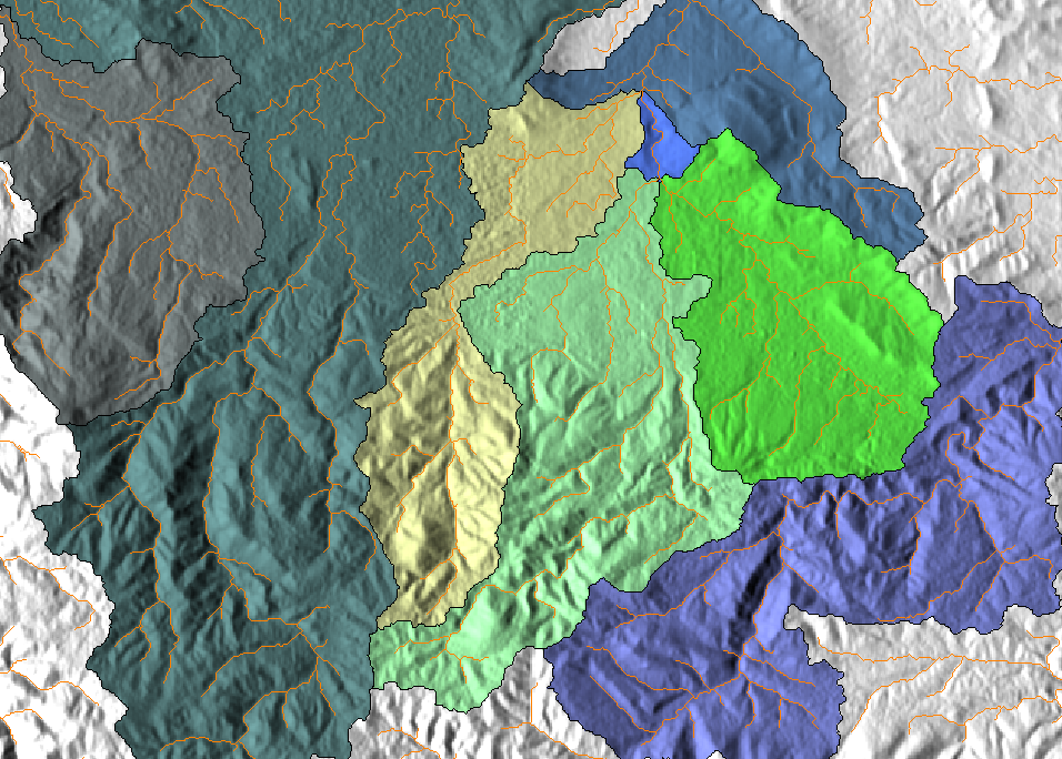 Spearfish catchements.png 956 × 684; 622 KB
-
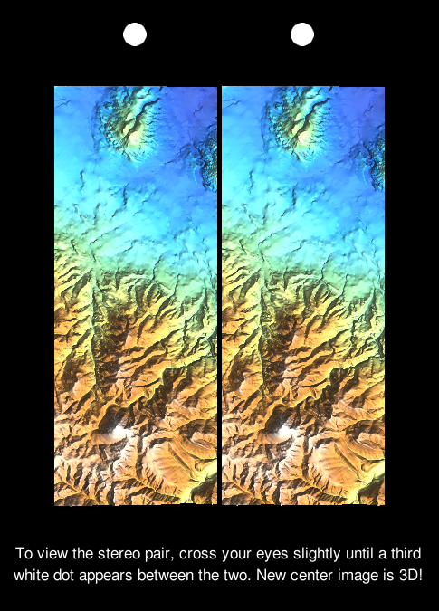 Spearfish freeview stereogram.png 485 × 675; 377 KB
-
 Spearfish stereogram.jpg 1,285 × 480; 225 KB
-
 Spread sod.png 1,386 × 948; 524 KB
-
 Spread sodk1.png 1,386 × 948; 718 KB
-
 Spread sodk2.png 1,386 × 948; 536 KB
-
 Spread sods1 1.png 1,378 × 943; 799 KB
-
 Spread sods1 2.png 1,378 × 943; 293 KB
-
 Spread sodsr1.png 1,386 × 948; 869 KB
-
 Spread sodsr2.png 1,386 × 948; 173 KB
-
 Sprint NL autumn 2017 1.jpg 3,000 × 1,909; 470 KB
-
 Sprint NL autumn 2017 2.jpg 3,000 × 2,013; 379 KB
-
 SrtmV2 trento small.jpg 442 × 238; 40 KB
-
 StarbIndia.jpg 300 × 225; 34 KB
-
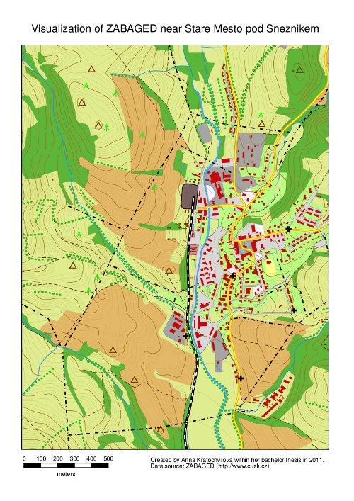 StareMesto.png 500 × 707; 460 KB
-
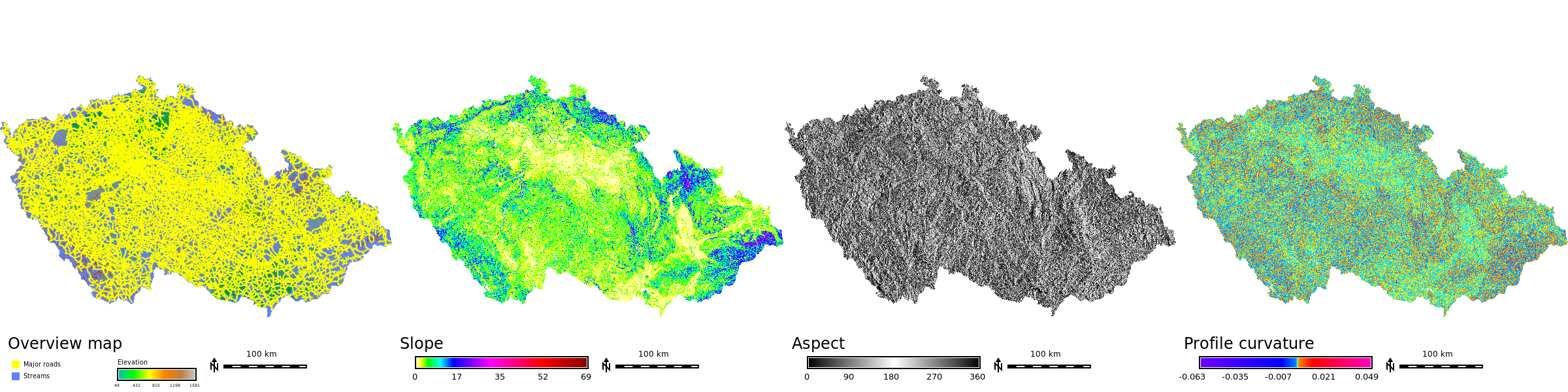 Std dataset cz stripe.png 2,400 × 600; 1.03 MB
-
 Std dataset it stripe.png 2,400 × 800; 1.82 MB
-
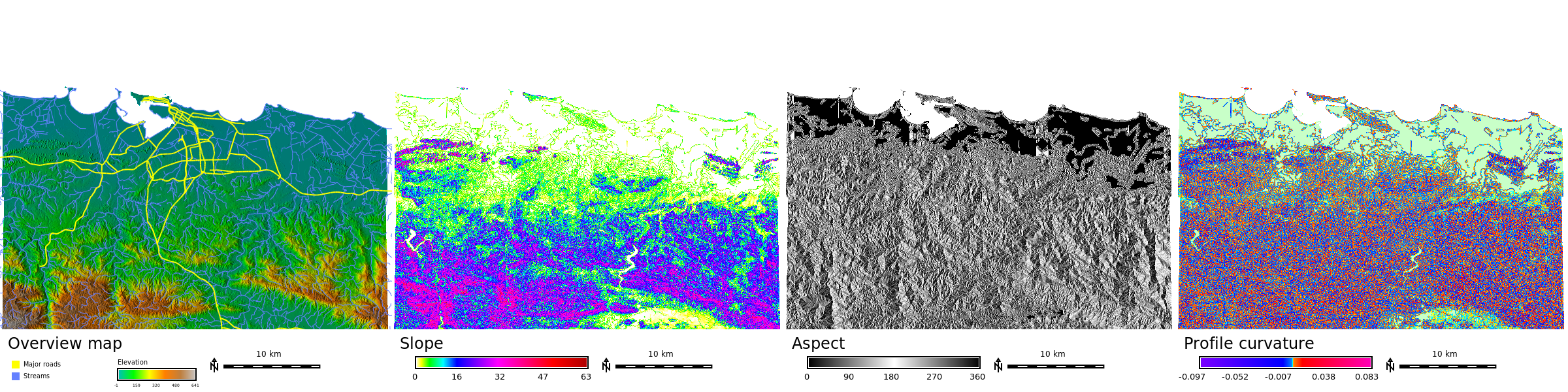
 Std dataset nc aspect.png 574 × 458; 513 KB
-
 Std dataset nc profile curvature.png 574 × 458; 452 KB
-
 Std dataset nc shaded aspect.png 574 × 458; 513 KB
-
 Std dataset nc shaded elevation.png 574 × 458; 399 KB
-
 Std dataset nc slope.png 574 × 458; 416 KB
-
 Std dataset nc stripe.png 1,296 × 324; 837 KB
-
 Std dataset piemonte aspect.png 574 × 458; 494 KB
-
 Std dataset piemonte profile curvature.png 574 × 458; 442 KB
-
 Std dataset piemonte shaded elevation.png 574 × 458; 490 KB
-
 Std dataset piemonte slope.png 574 × 458; 415 KB
-
 Std dataset pr stripe.png 2,400 × 600; 1.45 MB
-
 Stefan.png 383 × 375; 232 KB
-
 Step1 OpenGrassMapset.png 1,280 × 780; 99 KB
-
 Step2 Select GRASS Mapset.png 661 × 119; 12 KB
-
 Step 3 Create New GRASS Vector.png 1,280 × 800; 99 KB
-
 Step 4 -New vector name.png 204 × 138; 5 KB
-
 Step 5 Create Table.png 609 × 435; 33 KB
-
 Step 6 Open Background Raster.jpg 354 × 324; 29 KB
-
 Stereo basic.gif 878 × 611; 359 KB
-
 Stream distance.png 593 × 400; 322 KB
-
 Stream elevation.png 501 × 402; 355 KB
-
 Symb-bridge.png 60 × 34; 510 bytes
-
 Symb-dim arrow.png 298 × 177; 2 KB
-
 Symb-fish.png 175 × 123; 875 bytes
-
 Symb-geo.png 423 × 57; 472 bytes
-
 Symb-geo bowtie.png 140 × 47; 458 bytes
-
 Symb-geol2.png 328 × 64; 1 KB
-
 Symb-n arrow1.png 33 × 50; 621 bytes
-
 Symb-n arrow1b.png 300 × 300; 5 KB
-
 Symb-n arrow2.png 66 × 143; 2 KB
-
 Symb-n arrow3.png 66 × 167; 751 bytes
-
 Symb-n arrow4 with N.png 300 × 357; 3 KB
-
 Symb-n arrow5.png 282 × 279; 3 KB
-
 Symb-n arrow6.png 280 × 280; 4 KB
-
 Symb-n arrow7a.png 100 × 325; 572 bytes
-
 Symb-n arrow7b.png 100 × 325; 622 bytes
-
 Symb-n arrow8.png 325 × 325; 5 KB
-
 Symb-n arrow8b.png 320 × 320; 9 KB
-
 Symb-n arrow9.png 180 × 274; 3 KB
-
 Symb-ping.png 42 × 42; 1,020 bytes
-
 Symb-simple zia.png 242 × 243; 3 KB
-
 Symbols.png 615 × 882; 13 KB
-
 Table-create.png 32 × 32; 1 KB
-
 Table-delete.png 32 × 32; 1 KB
-
 Table-field-create.png 32 × 32; 1 KB
-
 Table-field-delete.png 32 × 32; 1 KB
-
 Tangible landscape and blender with water and trees.jpg 800 × 623; 121 KB
-
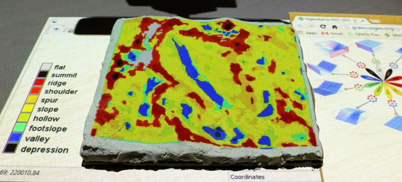 Tangible landscape geomorphons.jpg 800 × 363; 197 KB
-
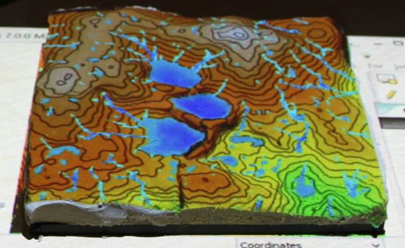 Tangible landscape r fill dir.jpg 800 × 491; 130 KB
-
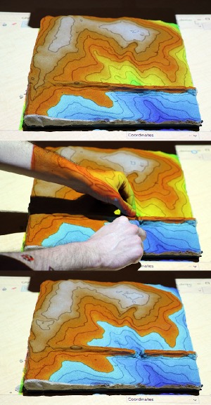 Tangible landscape rlake.jpg 300 × 577; 65 KB
-
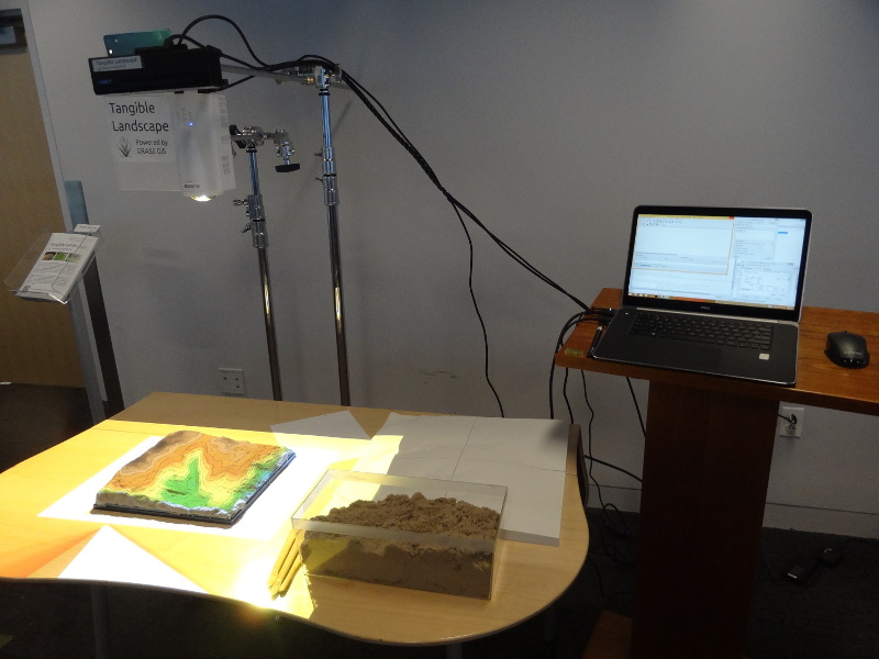 Tangible landscape setup.jpg 800 × 600; 134 KB
-
 Tangible landscape slope.jpg 800 × 533; 244 KB
-
 Tangible landscape termite game.jpg 800 × 685; 117 KB
-
 Taranaki spot seg.png 1,384 × 870; 1.97 MB
-
 TasmanSea winds latest.jpg 788 × 402; 72 KB
-
 Tempmean new 3.png 548 × 314; 35 KB


