Uncategorized files
Jump to navigation
Jump to search
Showing below up to 100 results in range #71 to #170.
-
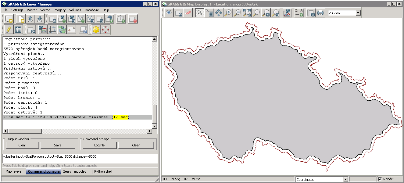 Buffer-negative-distance.png 1,325 × 600; 83 KB
-
 Bus.png 50 × 50; 246 bytes
-
 CASAS logo.png 640 × 413; 80 KB
-
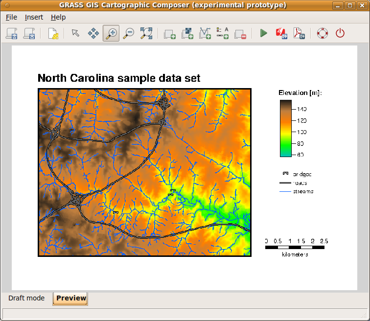 CCPreview.png 756 × 656; 206 KB
-
 CERL tshirt closeup late 1980s.jpg 3,377 × 2,586; 580 KB
-
 Cairo-example.jpg 800 × 600; 129 KB
-
 CartographicComposer.png 756 × 656; 42 KB
-
 Cat-display.png 24 × 24; 394 bytes
-
 Catsnlayers.png 3,029 × 2,628; 511 KB
-
 Cea bondone ortho lidar dsm small.png 416 × 240; 216 KB
-
 Cedric.jpg 102 × 127; 6 KB
-
 Census and urban.png 648 × 508; 33 KB
-
 Census urban clip.png 648 × 508; 26 KB
-
 Census urban intersect.png 648 × 508; 28 KB
-
 Census urban union.png 648 × 508; 34 KB
-
 Centroid-create.png 24 × 24; 1 KB
-
 Cesia.png 201 × 100; 9 KB
-
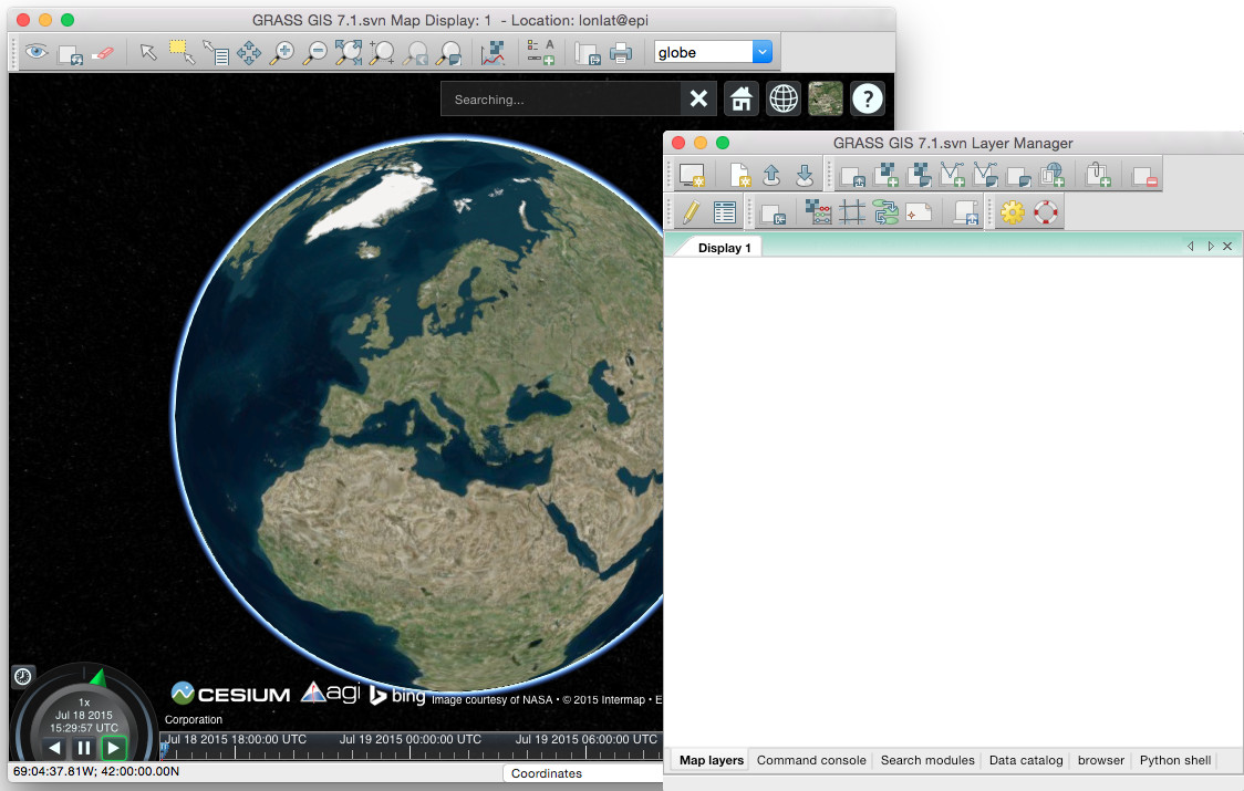 Cesium globe in GRASS GIS.jpg 1,124 × 715; 171 KB
-
 Chal3d i.gif 293 × 231; 20 KB
-
 Chal4d i.gif 298 × 249; 23 KB
-
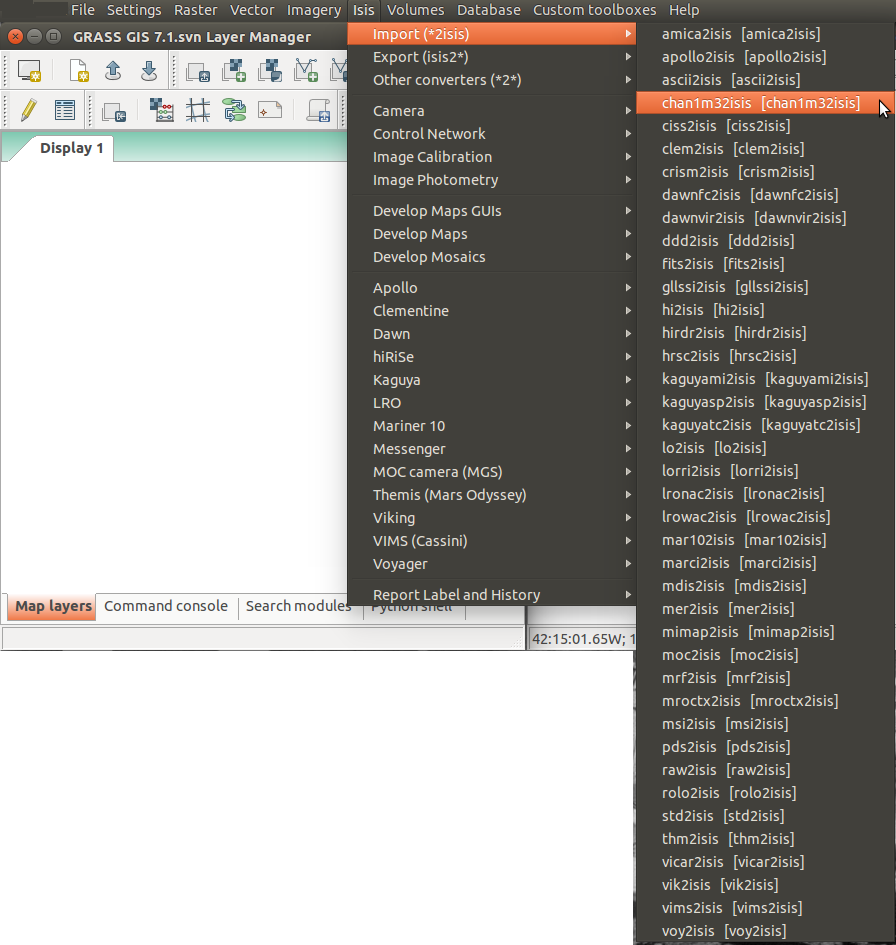 Chan1m32isis Isis GRASS Menu.png 896 × 945; 357 KB
-
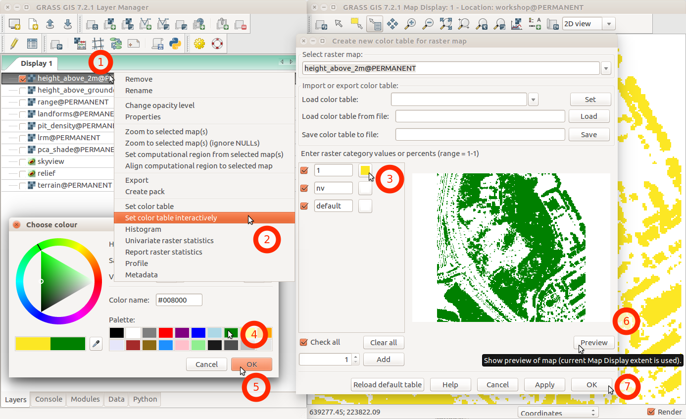 Change color table interactively with menu and labels.png 1,386 × 846; 231 KB
-
 Checkmark.png 12 × 18; 178 bytes
-
 Circross-overlay.png 44 × 44; 699 bytes
-
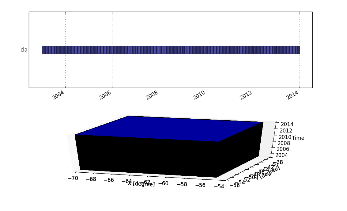 Cla strds.png 1,133 × 688; 53 KB
-
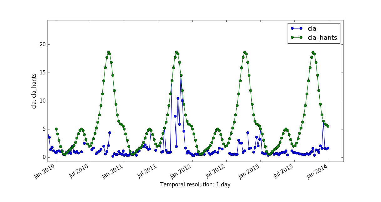 Cla vs cla hants.png 1,217 × 646; 75 KB
-
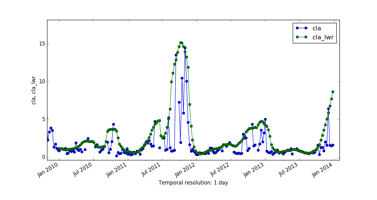 Cla vs cla lwr.png 1,217 × 646; 69 KB
-
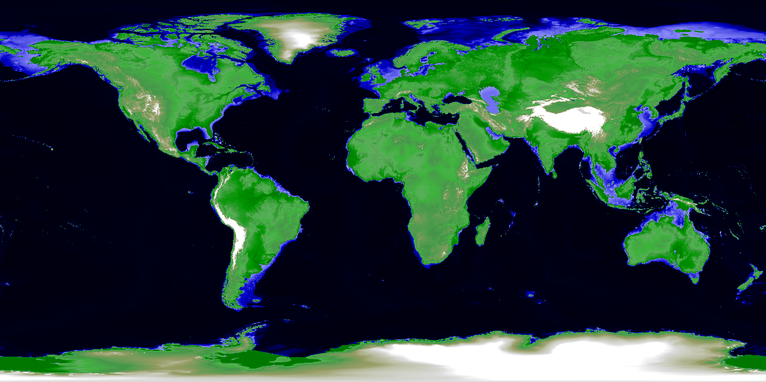 CleanTOPO2 map.png 1,508 × 753; 1.06 MB
-
 Codesprint 2019 b.jpg 680 × 1,210; 95 KB
-
 Colortable aspect.png 450 × 100; 2 KB
-
 Colortable aspectcolr.png 450 × 100; 2 KB
-
 Colortable bcyr.png 450 × 100; 2 KB
-
 Colortable bgyr.png 450 × 100; 2 KB
-
 Colortable byg.png 450 × 100; 2 KB
-
 Colortable byr.png 450 × 100; 1 KB
-
 Colortable celsius.png 450 × 100; 2 KB
-
 Colortable corine.png 450 × 100; 2 KB
-
 Colortable corine clc.gcolors.png 450 × 100; 3 KB
-
 Colortable curvature.png 450 × 100; 2 KB
-
 Colortable differences.png 450 × 100; 2 KB
-
 Colortable elevation.png 450 × 100; 2 KB
-
 Colortable etopo2.png 450 × 100; 2 KB
-
 Colortable evi.png 450 × 100; 1 KB
-
 Colortable grey.png 450 × 100; 2 KB
-
 Colortable grey1.0.png 450 × 100; 2 KB
-
 Colortable grey255.png 450 × 100; 2 KB
-
 Colortable gyr.png 450 × 100; 1 KB
-
 Colortable haxby.png 450 × 100; 2 KB
-
 Colortable ndvi.png 450 × 100; 2 KB
-
 Colortable palette GMT ocean.gcolors.png 450 × 100; 4 KB
-
 Colortable palette chl etc.gcolors.png 450 × 100; 3 KB
-
 Colortable palette high intensity.gcolors.png 450 × 100; 3 KB
-
 Colortable palette low intensity.gcolors.png 450 × 100; 4 KB
-
 Colortable palette roygbiv.gcolors.png 450 × 100; 4 KB
-
 Colortable palette sst.gcolors.png 450 × 100; 3 KB
-
 Colortable population.png 450 × 100; 2 KB
-
 Colortable precipitation.png 450 × 100; 2 KB
-
 Colortable rainbow.png 450 × 100; 2 KB
-
 Colortable ramp.png 450 × 100; 1 KB
-
 Colortable ryb.png 450 × 100; 1 KB
-
 Colortable ryg.png 450 × 100; 1 KB
-
 Colortable sepia.png 450 × 100; 2 KB
-
 Colortable slope.png 450 × 100; 2 KB
-
 Colortable srtm.png 450 × 100; 1 KB
-
 Colortable terrain.png 450 × 100; 2 KB
-
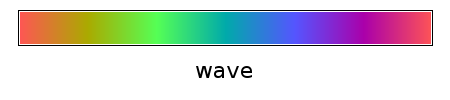 Colortable wave.png 450 × 100; 2 KB
-
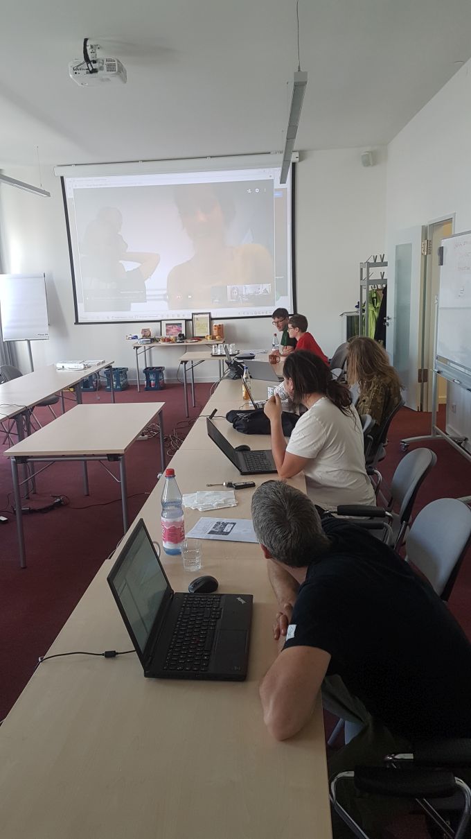
 Community-Sprint 2019 Zenodo high level view.jpg 4,032 × 2,268; 1.8 MB
-
 Community-sprint5.png 830 × 910; 869 KB
-
 Community sprint2015 fotowall.jpg 1,366 × 617; 151 KB
-
 Community sprint genova2013.png 1,839 × 567; 143 KB
-
 Community sprint prague2012.png 1,968 × 601; 139 KB
-
 Community sprint prague 2011.png 1,968 × 601; 143 KB
-
 Comparison Paris.png 640 × 386; 15 KB
-
 Computational region two rasters.png 798 × 613; 250 KB
-
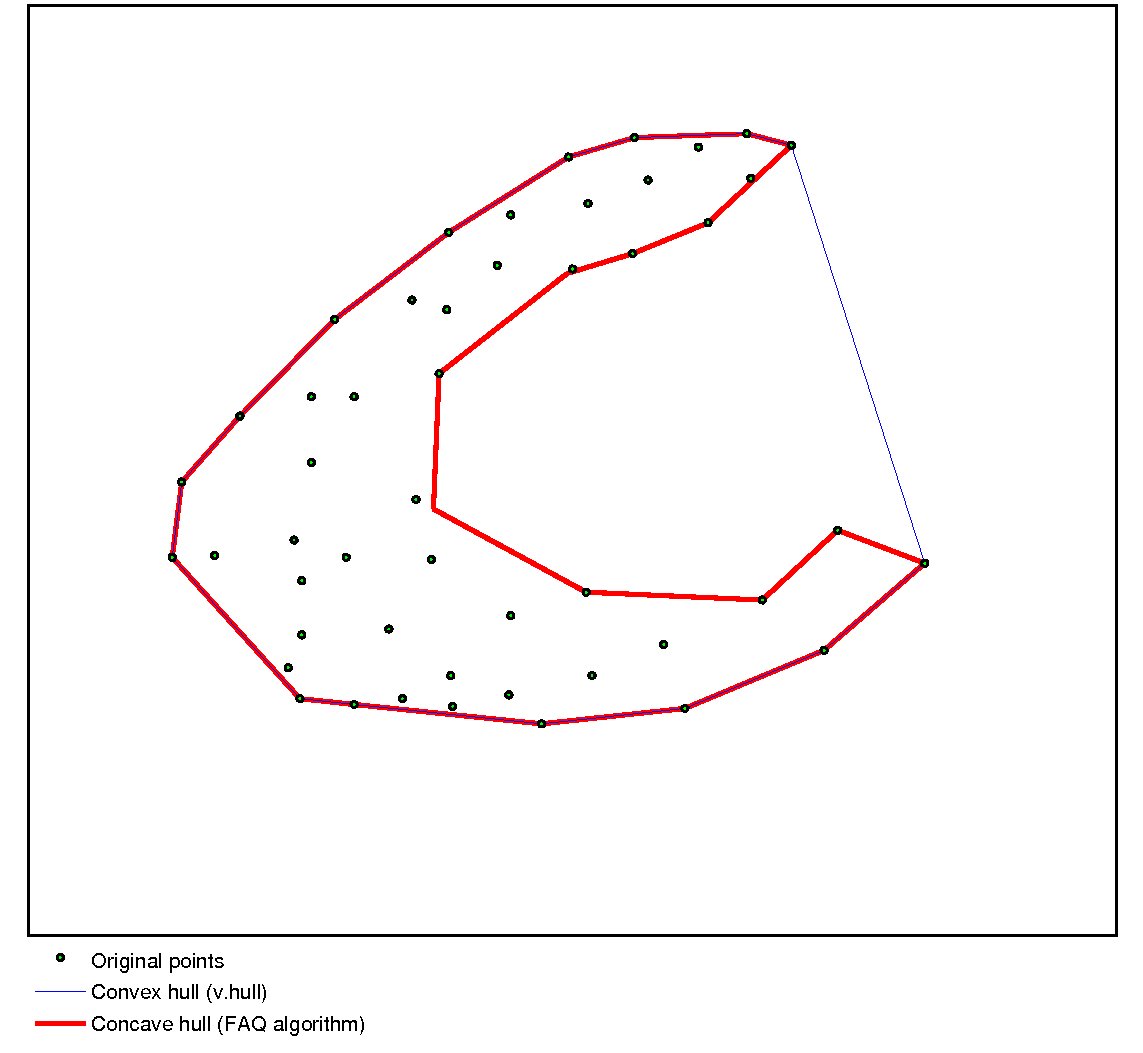 Concave hull.jpg 1,143 × 1,053; 64 KB
-
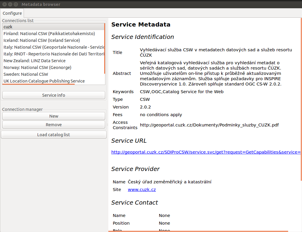 ConnectionMgr.png 1,023 × 787; 115 KB
-
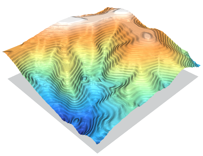
 Contour1m surf NN linear.png 830 × 649; 373 KB
-
 Contour1m surf NN nn.png 830 × 649; 315 KB
-
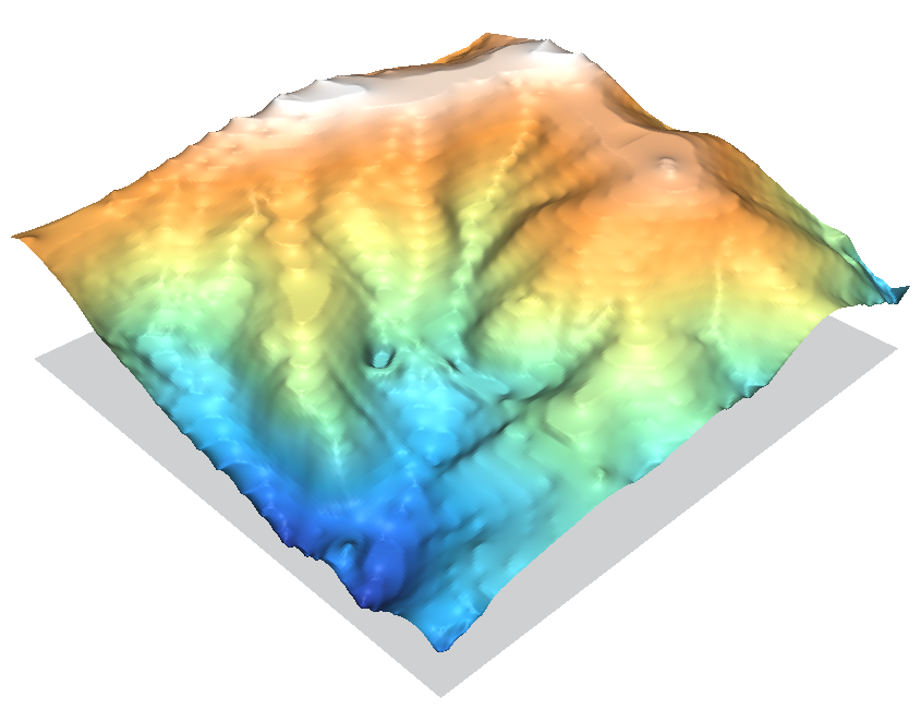
 Contour1m surf NN ns.png 830 × 649; 321 KB
-
 Contour1m surf idw2 12.png 842 × 650; 325 KB
-
 Contour1m surf idw 024.png 843 × 649; 384 KB
-
 Contour1m surf idw 036.png 844 × 649; 404 KB
-
 Contour1m surf idw 064.png 843 × 649; 411 KB
-
 Contour1m surf idw 250.png 845 × 649; 413 KB
-
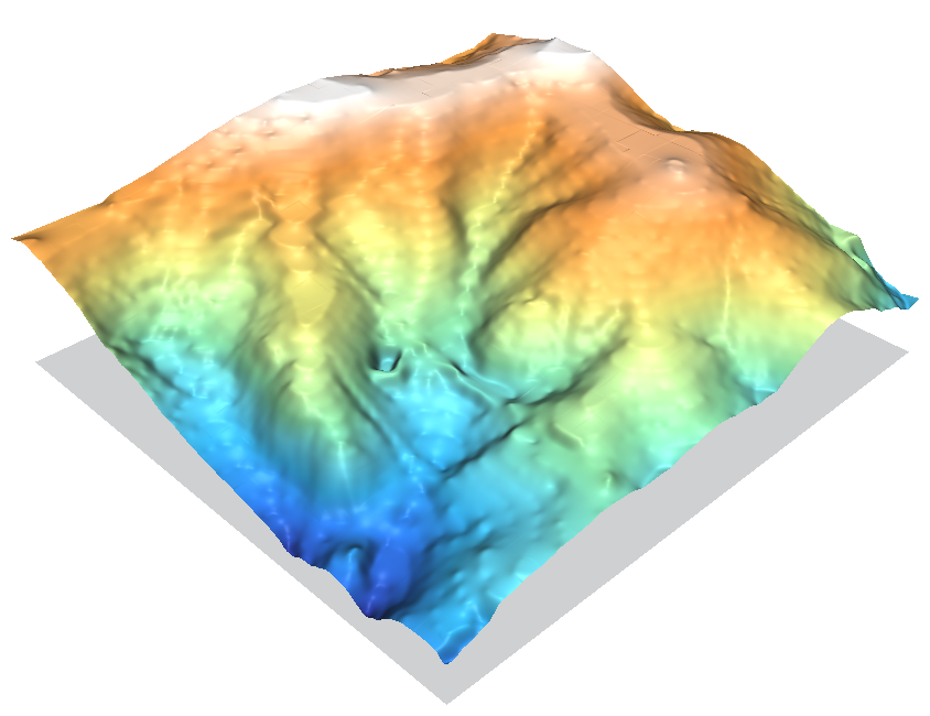 Contour1m surf rst.png 844 × 650; 290 KB
-
 Contour1m surf scontr.png 842 × 649; 425 KB
-
 Contour1m vspline bic.png 845 × 650; 268 KB
-
 Contour1m vspline bil.png 845 × 650; 303 KB
-
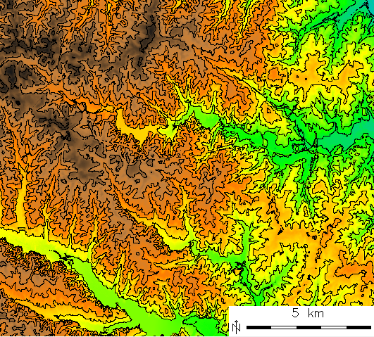 Contour lines from DEM.png 531 × 479; 323 KB
-
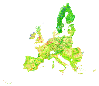 Corine land cover 2000.png 400 × 351; 85 KB
-
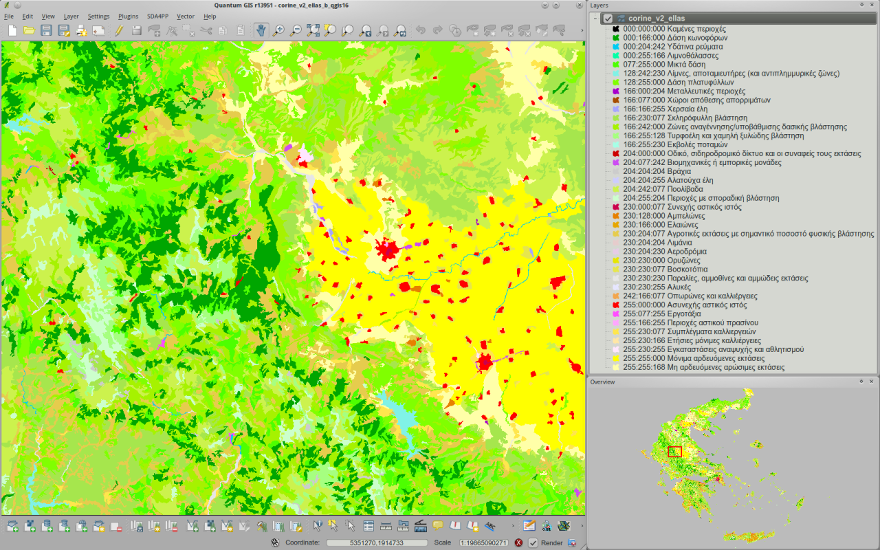 Corine v2 greece viewed in qgis16 h800px.png 1,280 × 800; 852 KB
-
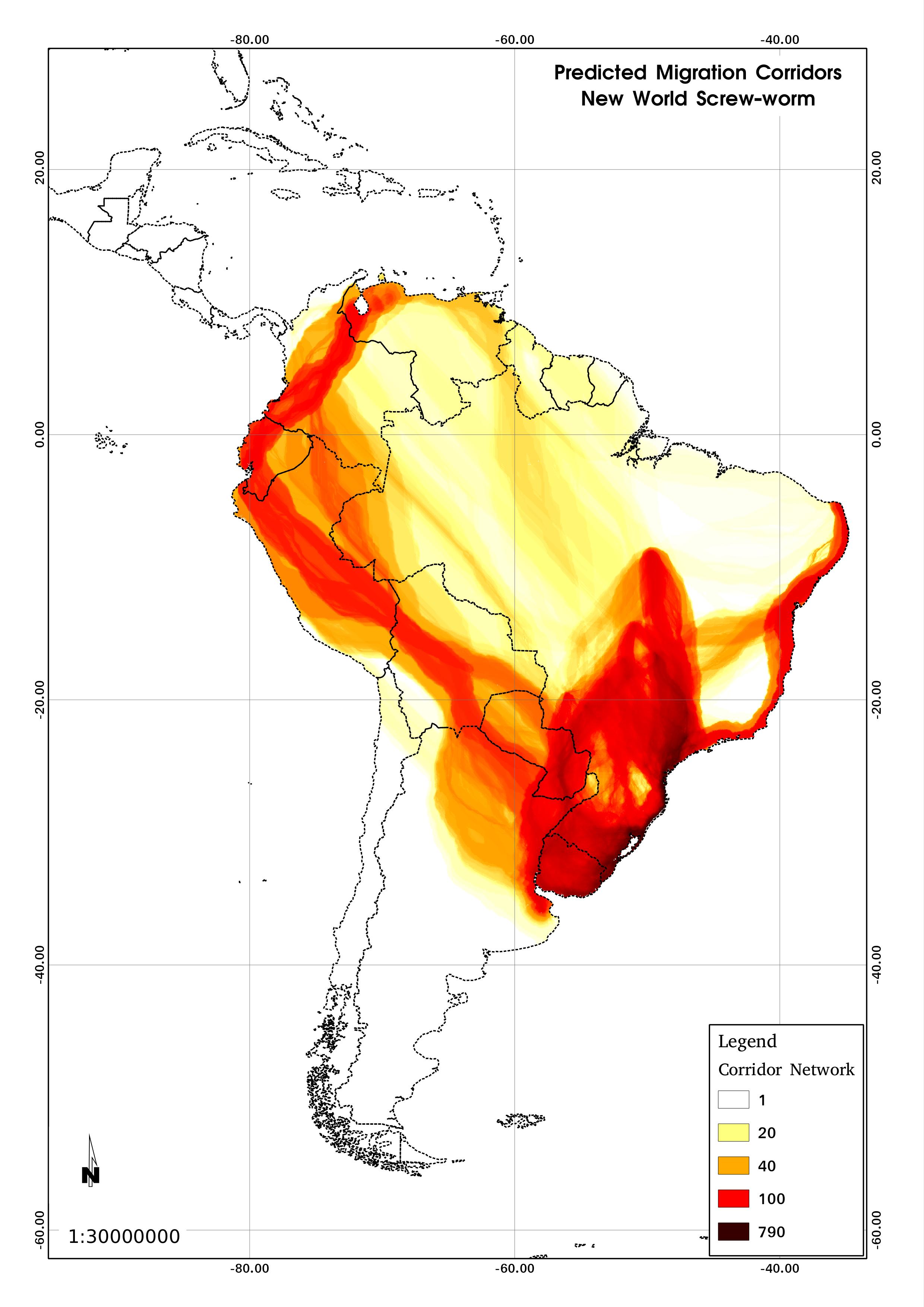 Corridors.jpg 2,480 × 3,507; 504 KB
-
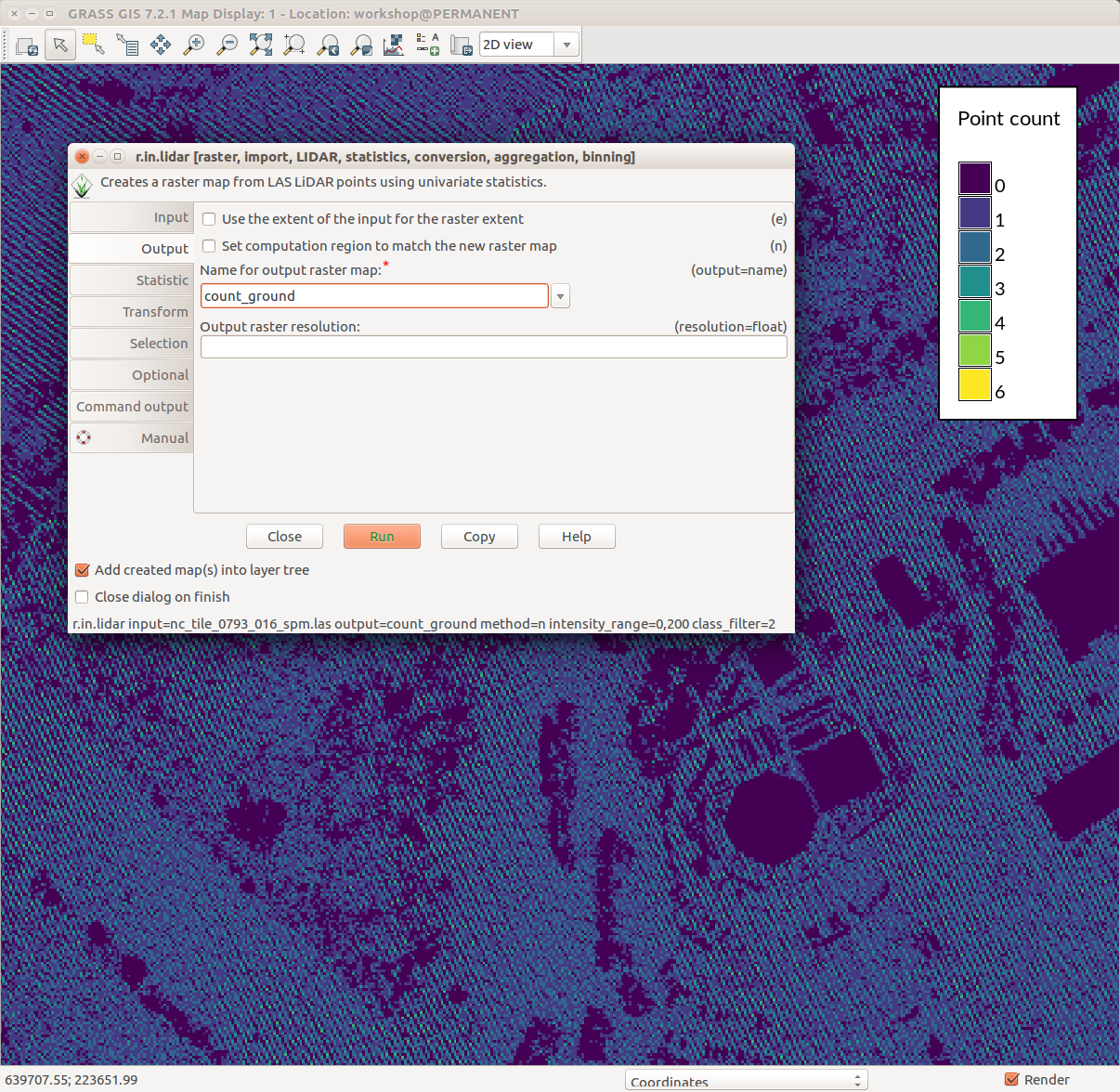 Counting ground points per cell with r.in.lidar.png 1,206 × 1,176; 231 KB
-
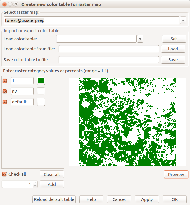 Create new color table for raster map forest.png 650 × 700; 53 KB
-
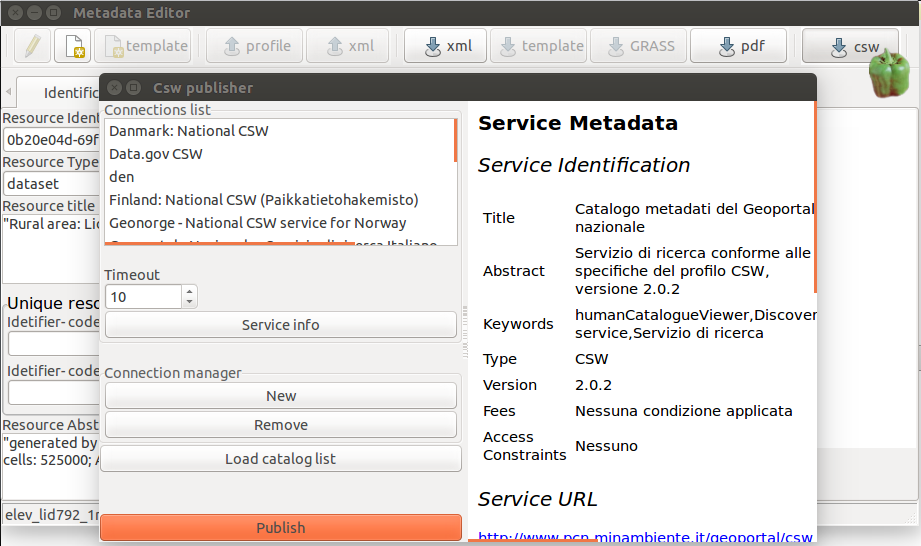 Csw publisher.png 921 × 546; 120 KB
-
 Cumulative viewshed.png 1,633 × 854; 1.34 MB
-
 Cumulative viewshed elevation.png 914 × 731; 1.08 MB
-
 CygwinX11 icon.png 91 × 84; 5 KB
-
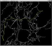 D.path-small.jpg 171 × 152; 7 KB
-
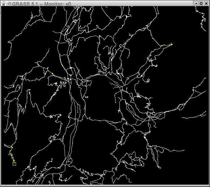 D.path.jpg 682 × 607; 76 KB


