Uncategorized files
Jump to navigation
Jump to search
Showing below up to 20 results in range #151 to #170.
-
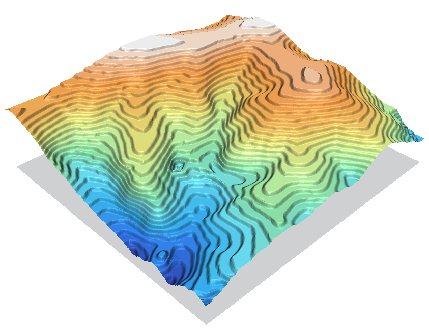 Contour1m surf idw 024.png 843 × 649; 384 KB
-
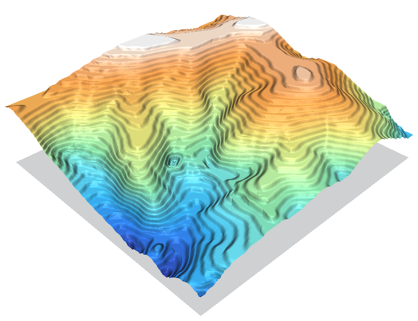 Contour1m surf idw 036.png 844 × 649; 404 KB
-
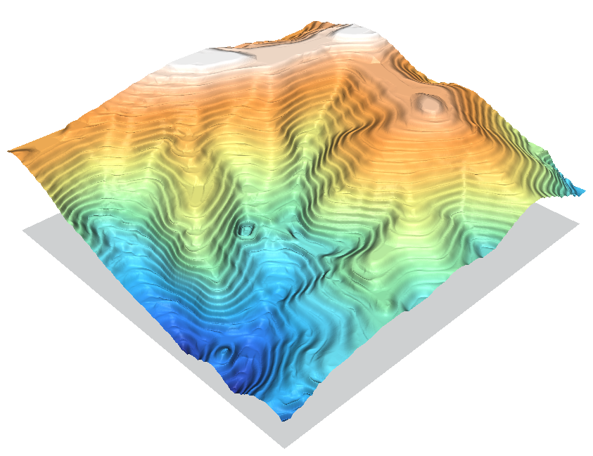 Contour1m surf idw 064.png 843 × 649; 411 KB
-
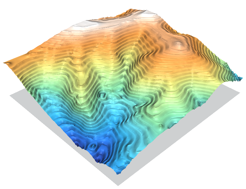 Contour1m surf idw 250.png 845 × 649; 413 KB
-
 Contour1m surf rst.png 844 × 650; 290 KB
-
 Contour1m surf scontr.png 842 × 649; 425 KB
-
 Contour1m vspline bic.png 845 × 650; 268 KB
-
 Contour1m vspline bil.png 845 × 650; 303 KB
-
 Contour lines from DEM.png 531 × 479; 323 KB
-
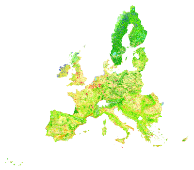 Corine land cover 2000.png 400 × 351; 85 KB
-
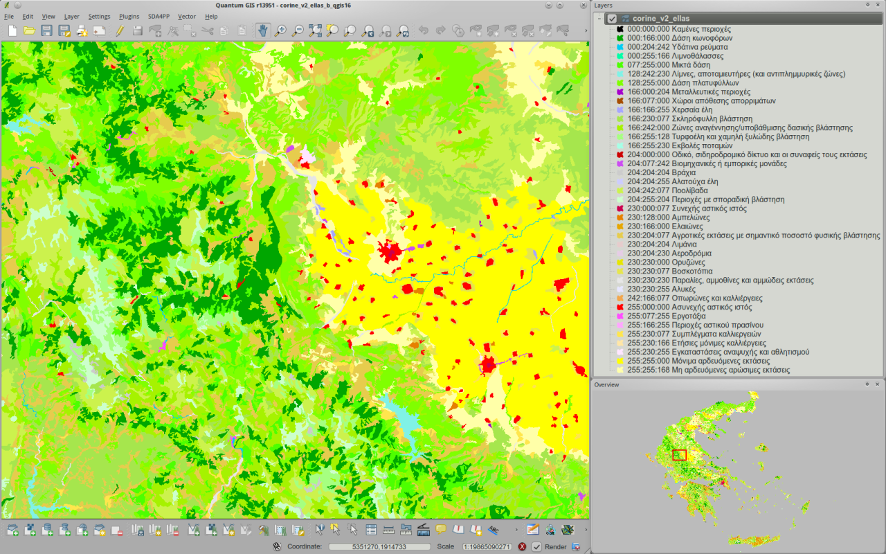 Corine v2 greece viewed in qgis16 h800px.png 1,280 × 800; 852 KB
-
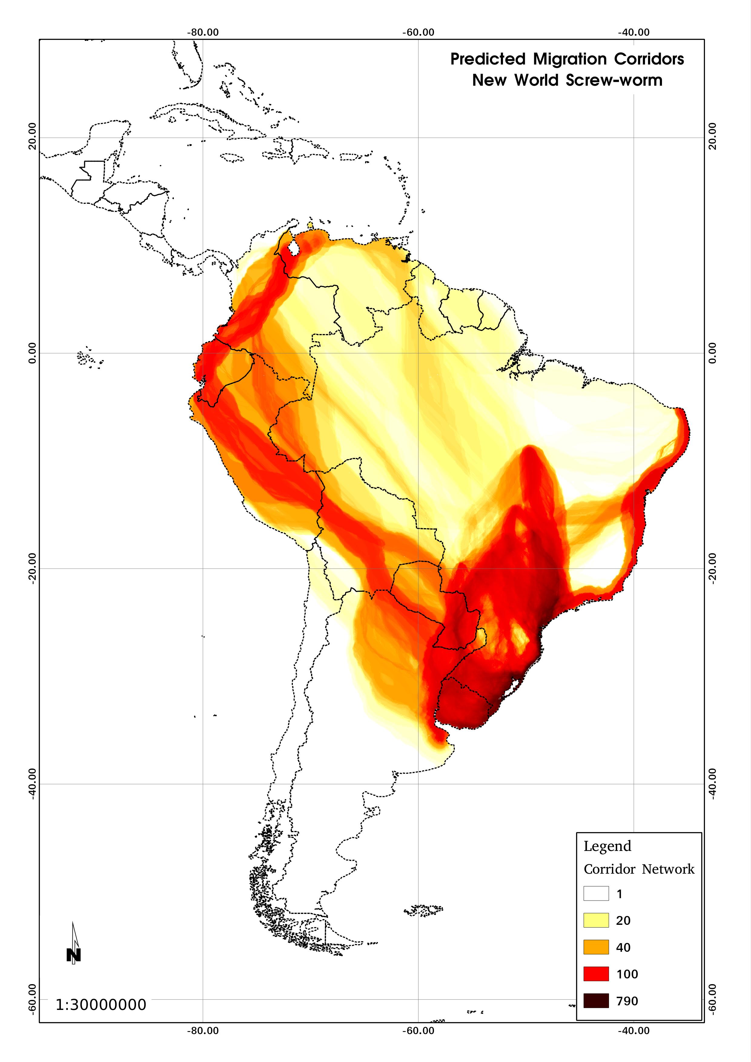 Corridors.jpg 2,480 × 3,507; 504 KB
-
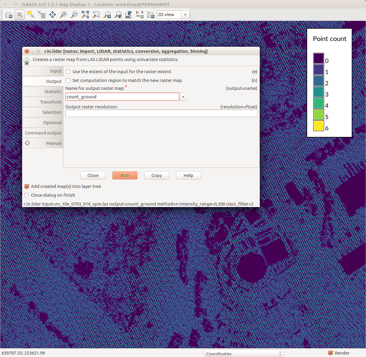 Counting ground points per cell with r.in.lidar.png 1,206 × 1,176; 231 KB
-
 Create new color table for raster map forest.png 650 × 700; 53 KB
-
 Csw publisher.png 921 × 546; 120 KB
-
 Cumulative viewshed.png 1,633 × 854; 1.34 MB
-
 Cumulative viewshed elevation.png 914 × 731; 1.08 MB
-
 CygwinX11 icon.png 91 × 84; 5 KB
-
 D.path-small.jpg 171 × 152; 7 KB
-
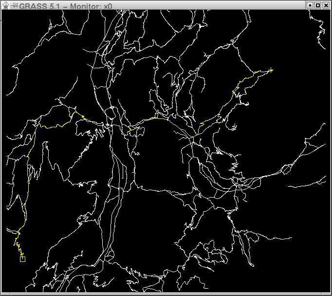 D.path.jpg 682 × 607; 76 KB


