Uncategorized files
Jump to navigation
Jump to search
Showing below up to 250 results in range #1,001 to #1,250.
-
 Scatter plots mapwin connection.png 1,318 × 868; 931 KB
-
 Schermata-Kriging Module.png 935 × 746; 263 KB
-
 Scott.jpg 102 × 118; 9 KB
-
 Screenshot-10.png 1,205 × 848; 74 KB
-
 Screenshot-11.png 1,330 × 847; 72 KB
-
 Screenshot-9.png 1,206 × 850; 70 KB
-
 Screenshot.png 455 × 375; 21 KB
-
 Screenshot from 2023-04-26 22-52-53.png 1,277 × 701; 89 KB
-
 Seamless fusion of high-resolution DEMs from multiple sources.png 1,315 × 895; 718 KB
-
 Selection 409.png 1,871 × 931; 115 KB
-
 Selection by polygon and ellipses.png 1,192 × 865; 711 KB
-
 Sentinel2 tiles.png 1,923 × 955; 448 KB
-
 Sequence.jpg 943 × 694; 39 KB
-
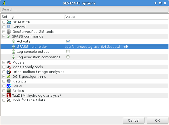 Sextante grass help folder.png 642 × 476; 48 KB
-
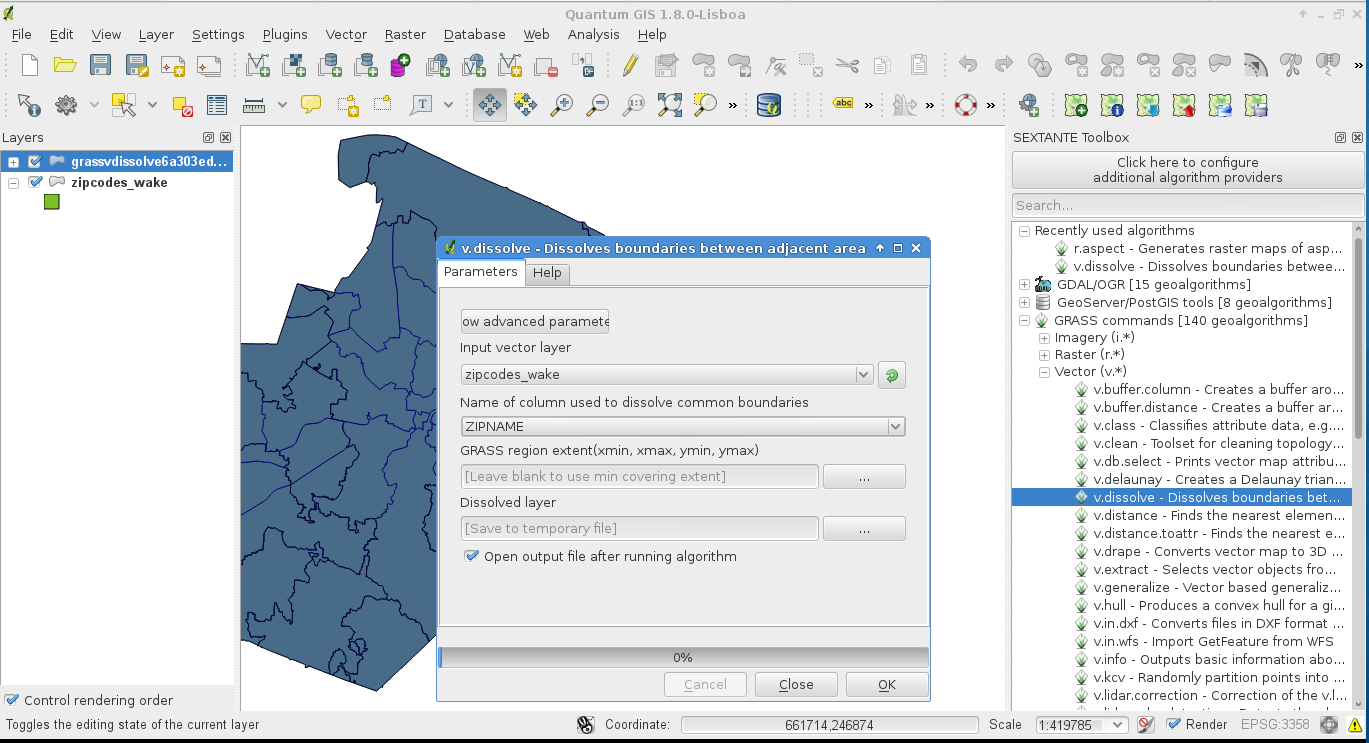 Sextante grass v dissolve.png 1,369 × 743; 211 KB
-
 Sg fcir.png 925 × 961; 1.04 MB
-
 Shack.png 50 × 50; 239 bytes
-
 Shape.png 491 × 400; 48 KB
-
 Ship.png 800 × 600; 68 KB
-
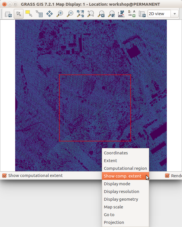 Show computational extent in Map Display.png 636 × 794; 239 KB
-
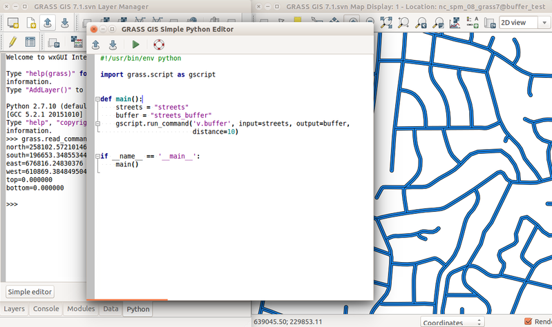 Simple python editor v buffer.png 799 × 474; 235 KB
-
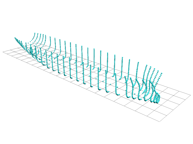
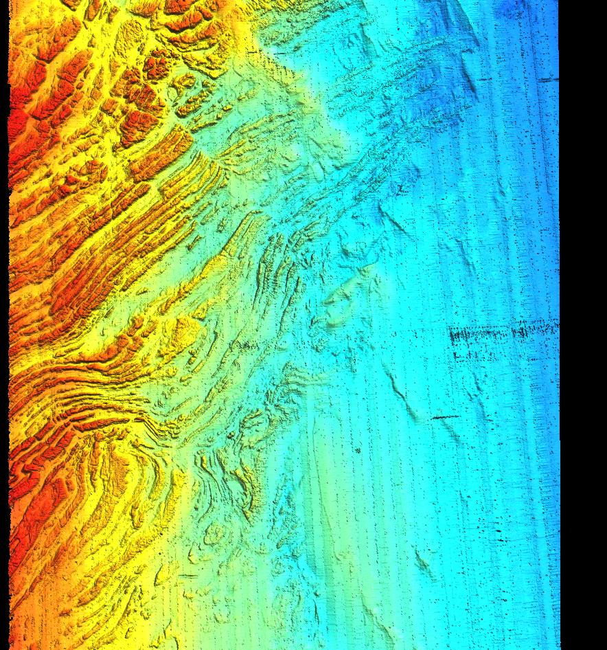 SlopePoint bathy.jpg 884 × 946; 246 KB
-
 Solany 0015.jpg 1,626 × 1,080; 1.3 MB
-
 Solany 0026.jpg 1,626 × 1,080; 805 KB
-
 Solany 0059.jpg 1,626 × 1,080; 965 KB
-
 Solany dec 2015 1.jpg 960 × 711; 115 KB
-
 Spearfish anaglyph.png 640 × 480; 629 KB
-
 Spearfish catchements.png 956 × 684; 622 KB
-
 Spearfish freeview stereogram.png 485 × 675; 377 KB
-
 Spearfish stereogram.jpg 1,285 × 480; 225 KB
-
 Spread sod.png 1,386 × 948; 524 KB
-
 Spread sodk1.png 1,386 × 948; 718 KB
-
 Spread sodk2.png 1,386 × 948; 536 KB
-
 Spread sods1 1.png 1,378 × 943; 799 KB
-
 Spread sods1 2.png 1,378 × 943; 293 KB
-
 Spread sodsr1.png 1,386 × 948; 869 KB
-
 Spread sodsr2.png 1,386 × 948; 173 KB
-
 Sprint NL autumn 2017 1.jpg 3,000 × 1,909; 470 KB
-
 Sprint NL autumn 2017 2.jpg 3,000 × 2,013; 379 KB
-
 SrtmV2 trento small.jpg 442 × 238; 40 KB
-
 StarbIndia.jpg 300 × 225; 34 KB
-
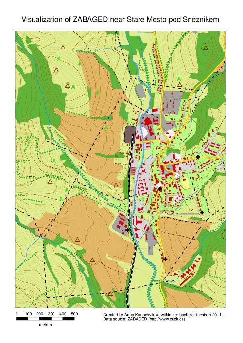 StareMesto.png 500 × 707; 460 KB
-
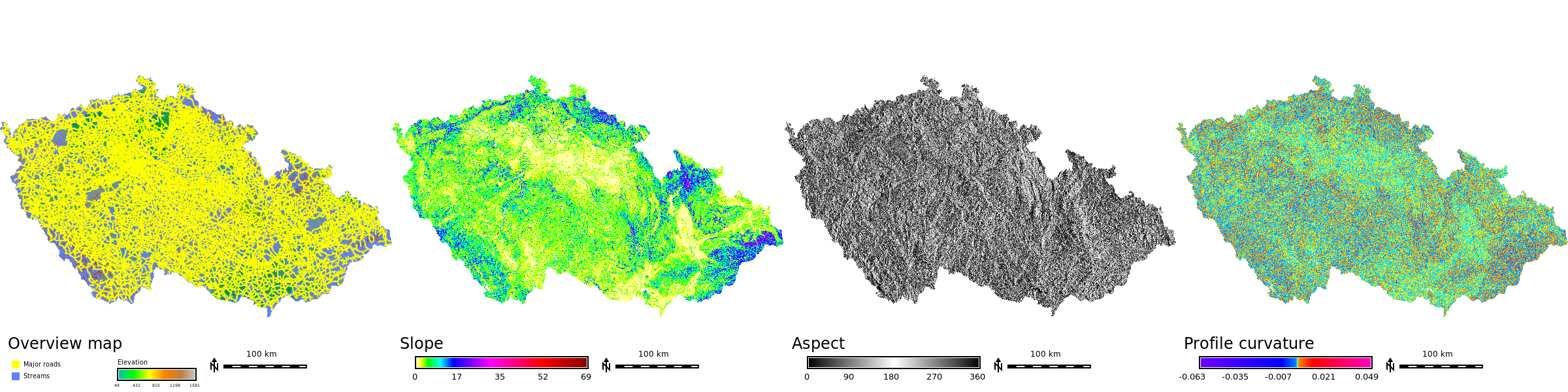 Std dataset cz stripe.png 2,400 × 600; 1.03 MB
-
 Std dataset it stripe.png 2,400 × 800; 1.82 MB
-
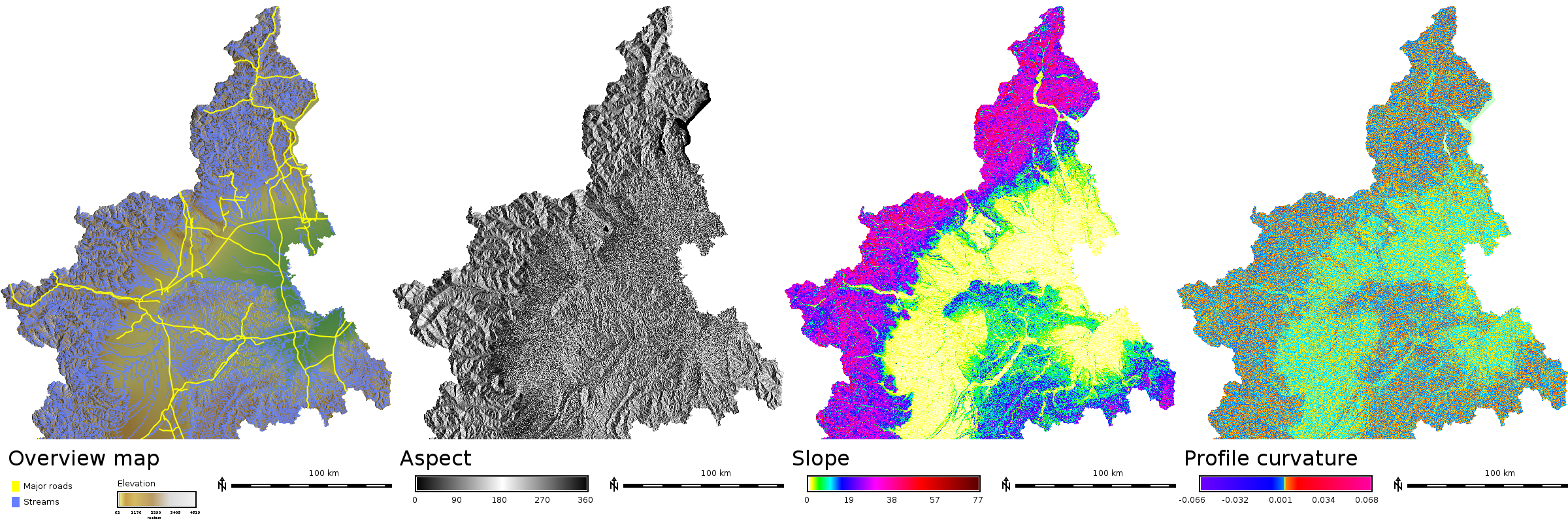
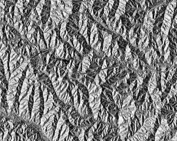
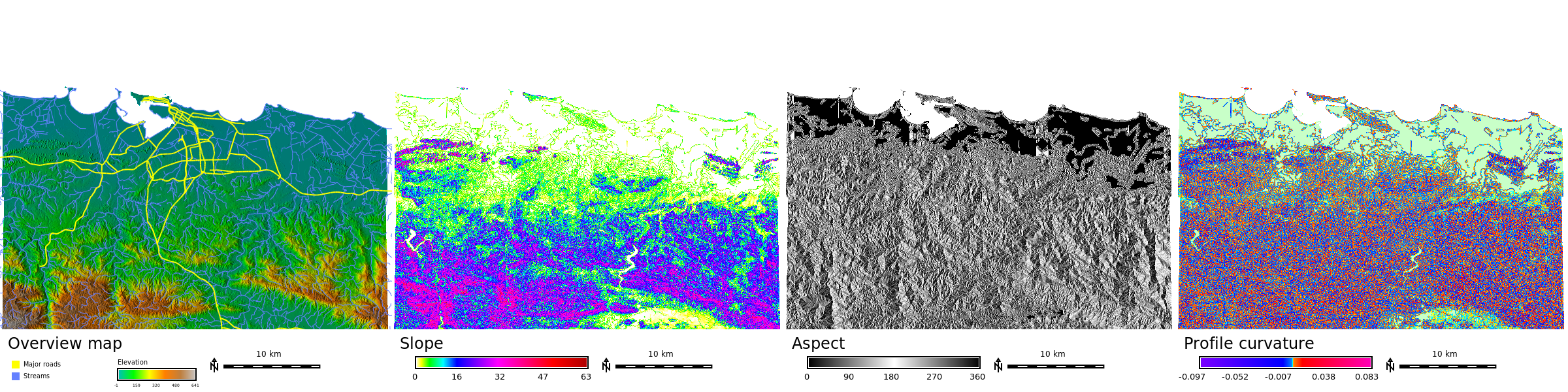
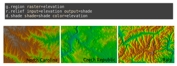
 Std dataset nc aspect.png 574 × 458; 513 KB
-
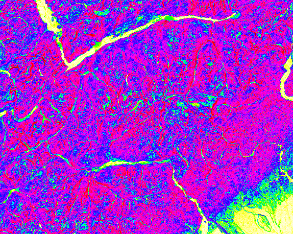
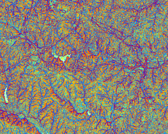 Std dataset nc profile curvature.png 574 × 458; 452 KB
-
 Std dataset nc shaded aspect.png 574 × 458; 513 KB
-
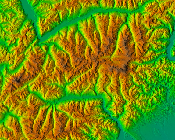
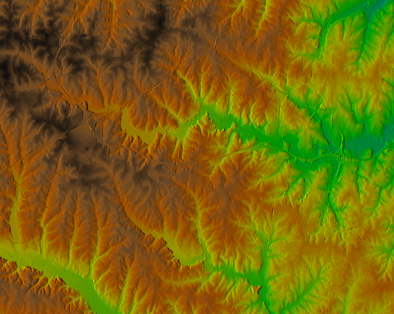 Std dataset nc shaded elevation.png 574 × 458; 399 KB
-
 Std dataset nc slope.png 574 × 458; 416 KB
-
 Std dataset nc stripe.png 1,296 × 324; 837 KB
-
 Std dataset piemonte aspect.png 574 × 458; 494 KB
-
 Std dataset piemonte profile curvature.png 574 × 458; 442 KB
-
 Std dataset piemonte shaded elevation.png 574 × 458; 490 KB
-
 Std dataset piemonte slope.png 574 × 458; 415 KB
-
 Std dataset pr stripe.png 2,400 × 600; 1.45 MB
-
 Stefan.png 383 × 375; 232 KB
-
 Step1 OpenGrassMapset.png 1,280 × 780; 99 KB
-
 Step2 Select GRASS Mapset.png 661 × 119; 12 KB
-
 Step 3 Create New GRASS Vector.png 1,280 × 800; 99 KB
-
 Step 4 -New vector name.png 204 × 138; 5 KB
-
 Step 5 Create Table.png 609 × 435; 33 KB
-
 Step 6 Open Background Raster.jpg 354 × 324; 29 KB
-
 Stereo basic.gif 878 × 611; 359 KB
-
 Stream distance.png 593 × 400; 322 KB
-
 Stream elevation.png 501 × 402; 355 KB
-
 Symb-bridge.png 60 × 34; 510 bytes
-
 Symb-dim arrow.png 298 × 177; 2 KB
-
 Symb-fish.png 175 × 123; 875 bytes
-
 Symb-geo.png 423 × 57; 472 bytes
-
 Symb-geo bowtie.png 140 × 47; 458 bytes
-
 Symb-geol2.png 328 × 64; 1 KB
-
 Symb-n arrow1.png 33 × 50; 621 bytes
-
 Symb-n arrow1b.png 300 × 300; 5 KB
-
 Symb-n arrow2.png 66 × 143; 2 KB
-
 Symb-n arrow3.png 66 × 167; 751 bytes
-
 Symb-n arrow4 with N.png 300 × 357; 3 KB
-
 Symb-n arrow5.png 282 × 279; 3 KB
-
 Symb-n arrow6.png 280 × 280; 4 KB
-
 Symb-n arrow7a.png 100 × 325; 572 bytes
-
 Symb-n arrow7b.png 100 × 325; 622 bytes
-
 Symb-n arrow8.png 325 × 325; 5 KB
-
 Symb-n arrow8b.png 320 × 320; 9 KB
-
 Symb-n arrow9.png 180 × 274; 3 KB
-
 Symb-ping.png 42 × 42; 1,020 bytes
-
 Symb-simple zia.png 242 × 243; 3 KB
-
 Symbols.png 615 × 882; 13 KB
-
 Table-create.png 32 × 32; 1 KB
-
 Table-delete.png 32 × 32; 1 KB
-
 Table-field-create.png 32 × 32; 1 KB
-
 Table-field-delete.png 32 × 32; 1 KB
-
 Tangible landscape and blender with water and trees.jpg 800 × 623; 121 KB
-
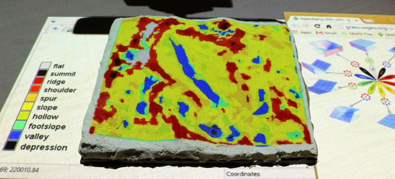 Tangible landscape geomorphons.jpg 800 × 363; 197 KB
-
 Tangible landscape r fill dir.jpg 800 × 491; 130 KB
-
 Tangible landscape rlake.jpg 300 × 577; 65 KB
-
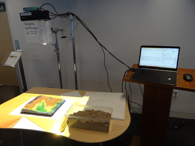 Tangible landscape setup.jpg 800 × 600; 134 KB
-
 Tangible landscape slope.jpg 800 × 533; 244 KB
-
 Tangible landscape termite game.jpg 800 × 685; 117 KB
-
 Taranaki spot seg.png 1,384 × 870; 1.97 MB
-
 TasmanSea winds latest.jpg 788 × 402; 72 KB
-
 Tempmean new 3.png 548 × 314; 35 KB
-
 Terrain1.png 681 × 966; 93 KB
-
 Terrain10.png 1,323 × 858; 78 KB
-
 Terrain11.png 669 × 367; 35 KB
-
 Terrain12.png 628 × 652; 31 KB
-
 Terrain13.png 1,322 × 600; 80 KB
-
 Terrain14.png 516 × 176; 22 KB
-
 Terrain15.png 518 × 496; 27 KB
-
 Terrain16.png 1,040 × 499; 62 KB
-
 Terrain17.png 493 × 153; 16 KB
-
 Terrain18.png 521 × 564; 44 KB
-
 Terrain19.png 66 × 55; 2 KB
-
 Terrain2.png 739 × 446; 74 KB
-
 Terrain20.png 797 × 593; 69 KB
-
 Terrain21.png 366 × 205; 11 KB
-
 Terrain22.png 560 × 146; 15 KB
-
 Terrain23.png 645 × 702; 44 KB
-
 Terrain24.png 648 × 702; 82 KB
-
 Terrain25.png 801 × 594; 149 KB
-
 Terrain26.png 549 × 177; 24 KB
-
 Terrain27.png 646 × 721; 33 KB
-
 Terrain28.png 514 × 496; 47 KB
-
 Terrain29.png 677 × 346; 17 KB
-
 Terrain3.png 731 × 449; 79 KB
-
 Terrain30.png 511 × 498; 27 KB
-
 Terrain31.png 515 × 505; 26 KB
-
 Terrain32.png 515 × 504; 31 KB
-
 Terrain33.png 228 × 97; 10 KB
-
 Terrain34.png 475 × 340; 18 KB
-
 Terrain35.png 797 × 595; 93 KB
-
 Terrain36.png 803 × 595; 162 KB
-
 Terrain37.png 44 × 39; 1 KB
-
 Terrain38.png 408 × 396; 13 KB
-
 Terrain39.png 210 × 240; 14 KB
-
 Terrain4.png 734 × 447; 70 KB
-
 Terrain40.png 693 × 550; 61 KB
-
 Terrain41.png 474 × 494; 32 KB
-
 Terrain42.png 797 × 600; 49 KB
-
 Terrain43.png 609 × 179; 20 KB
-
 Terrain44.png 474 × 450; 26 KB
-
 Terrain45.png 469 × 454; 30 KB
-
 Terrain46.png 795 × 138; 18 KB
-
 Terrain47.png 1,332 × 520; 227 KB
-
 Terrain5.png 737 × 449; 76 KB
-
 Terrain6.png 486 × 182; 11 KB
-
 Terrain7.png 456 × 174; 10 KB
-
 Terrain8.png 329 × 137; 7 KB
-
 Terrain9.png 638 × 610; 58 KB
-
 Thinner arrow symbol.png 36 × 53; 454 bytes
-
 Thinner cross symbol.png 43 × 44; 287 bytes
-
 Three datasets with instructions.png 617 × 230; 151 KB
-
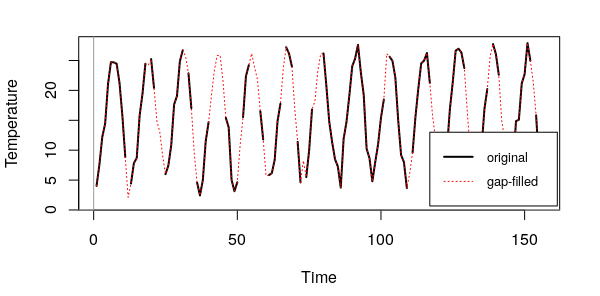 Time series.png 600 × 296; 35 KB
-
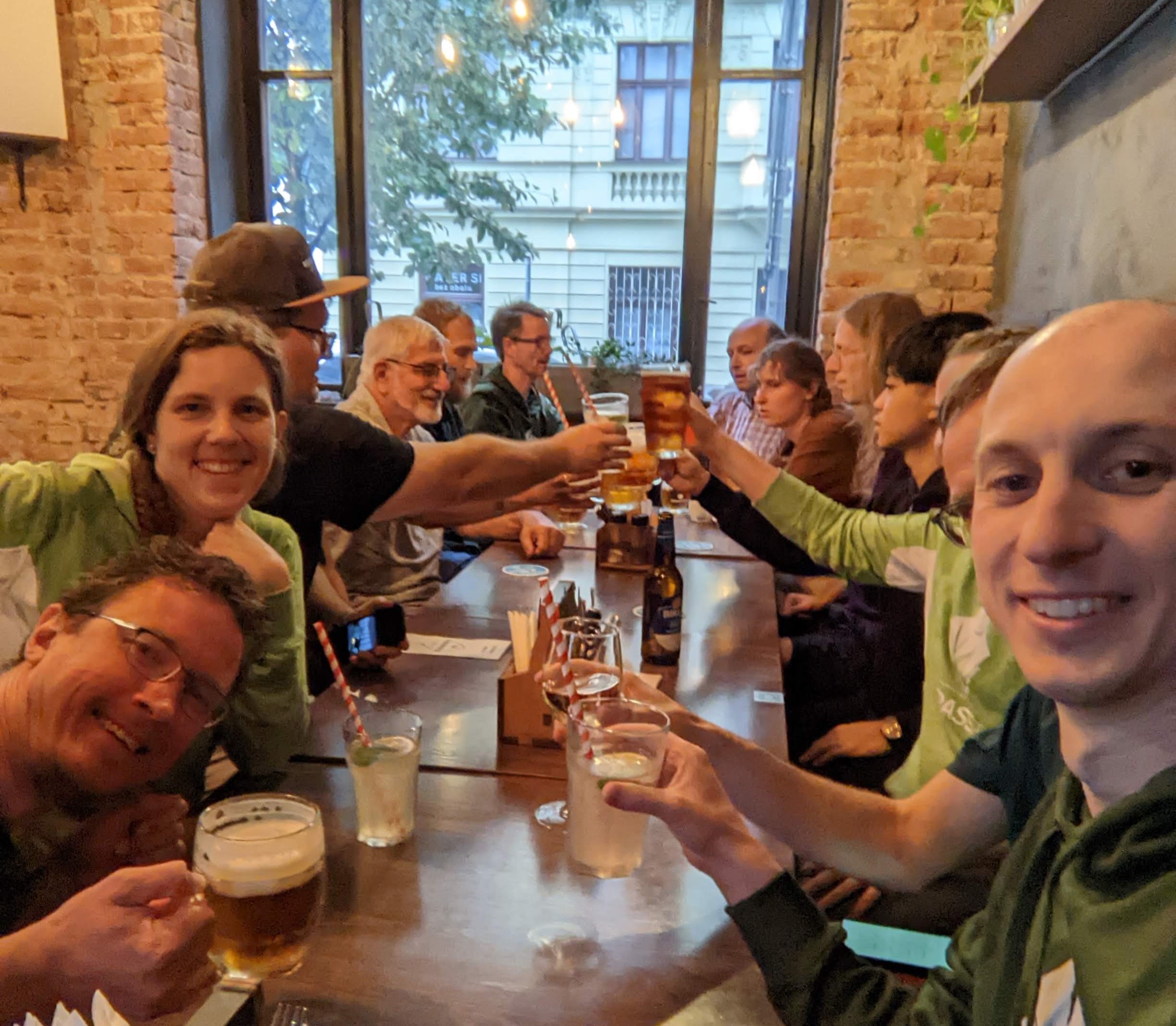 Toast-grass-40th-birthday.jpg 2,448 × 2,135; 620 KB
-
 Topo example.png 640 × 480; 8 KB
-
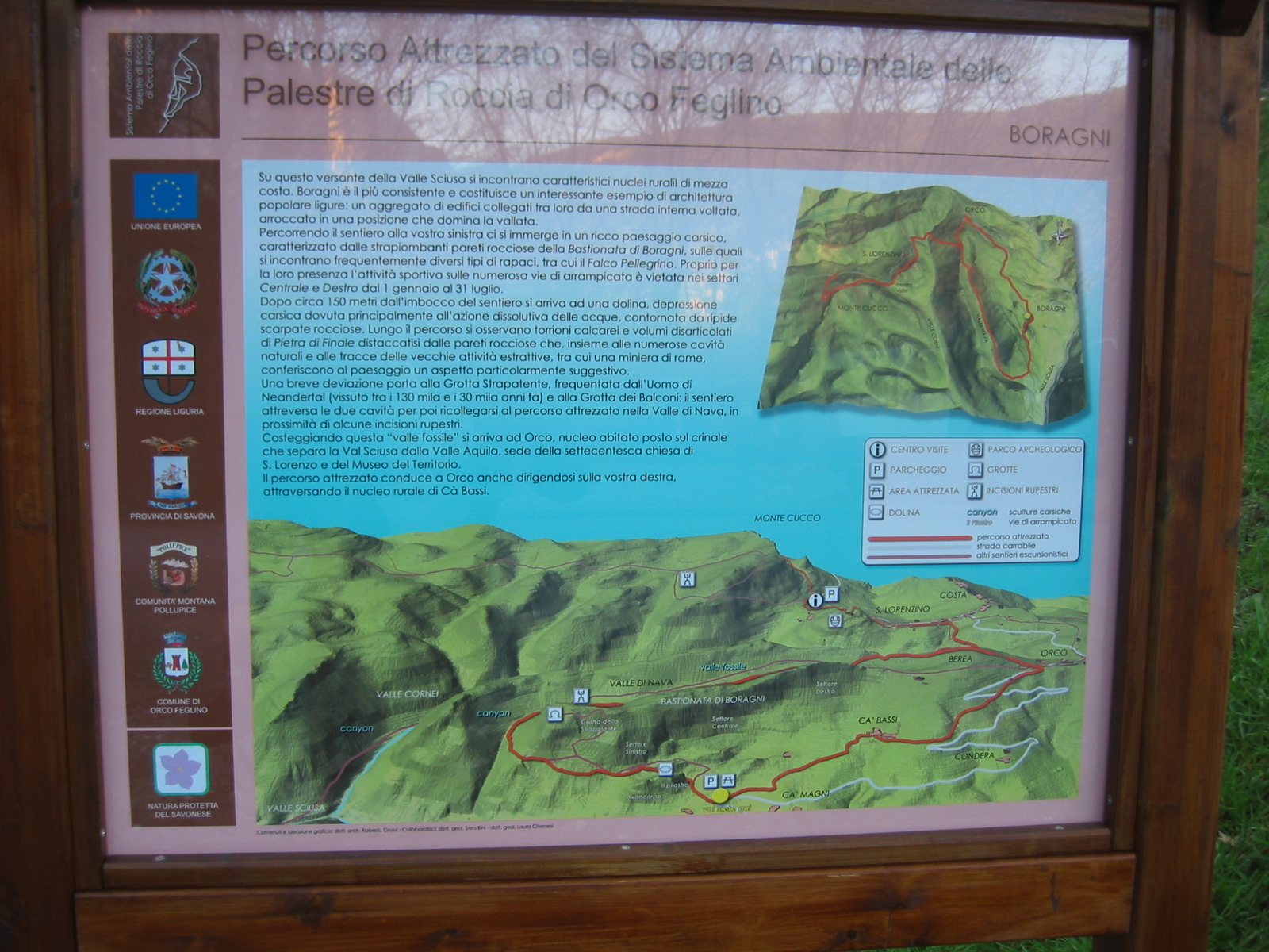 Touristic panel.JPG 1,600 × 1,200; 887 KB
-
 Train.png 50 × 50; 266 bytes
-
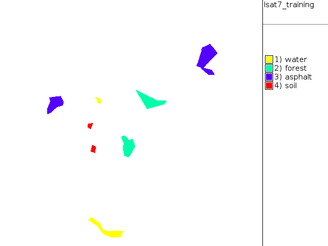 Training map supervised.png 640 × 480; 9 KB
-
 Transifex edit online.png 535 × 149; 22 KB
-
 Transifex register signin.png 455 × 181; 12 KB
-
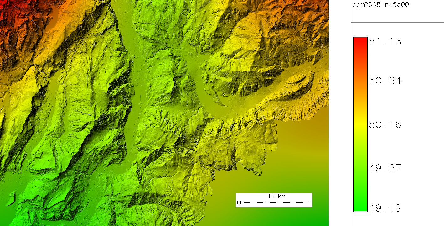 Trentino egm2008 map 5m resampled.jpg 1,418 × 721; 452 KB
-
 Trento3d colors.jpg 977 × 872; 316 KB
-
 Trento3d small.jpg 576 × 455; 91 KB
-
 Tsunami japan2011 sendai.jpg 841 × 612; 99 KB
-
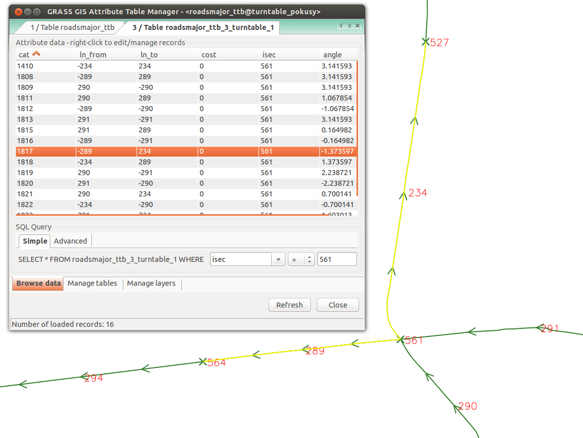 Turntable.png 1,148 × 863; 115 KB
-
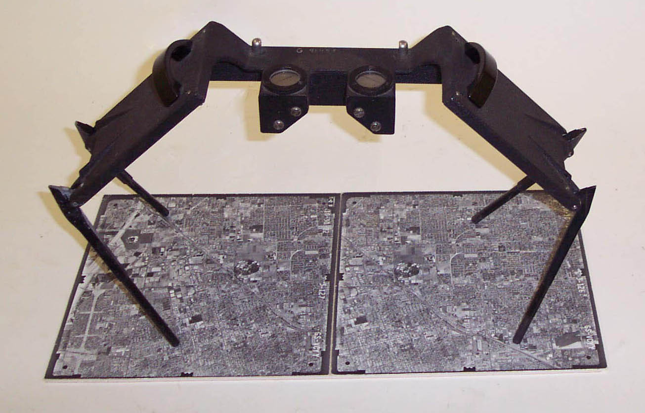 USGS stereoscope.jpg 1,305 × 837; 137 KB
-
 US temp model comparison.png 1,624 × 627; 529 KB
-
 Uc-berkeley logo.jpg 2,800 × 990; 165 KB
-
 Una basin reservoir project Taubate SP Brasil png.png 583 × 505; 524 KB
-
 Us-iale logo.jpg 800 × 376; 30 KB
-
 Usecasegsoc.jpg 1,014 × 710; 35 KB
-
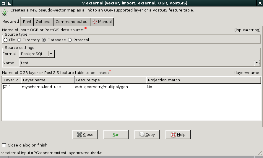 V-external-gdalselect.png 890 × 536; 41 KB
-
 V-import-1.png 633 × 548; 34 KB
-
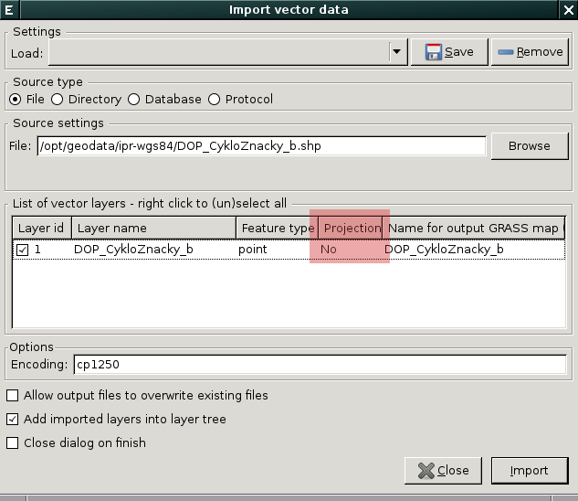
 V-import-2.png 1,402 × 632; 284 KB
-
 V.generalize.anim.gif 640 × 480; 70 KB
-
 V.generalize.douglas.png 1,280 × 960; 30 KB
-
 V.generalize.lang.png 1,280 × 960; 30 KB
-
 V.generalize.net200.png 1,280 × 960; 56 KB
-
 V.generalize.net50.png 1,280 × 960; 63 KB
-
 V.generalize.pic1.png 1,280 × 960; 49 KB
-
 V.generalize.pic10.png 1,280 × 960; 31 KB
-
 V.generalize.pic11.png 1,280 × 960; 11 KB
-
 V.generalize.pic12.png 1,280 × 960; 14 KB
-
 V.generalize.pic13.png 1,280 × 960; 14 KB
-
 V.generalize.pic14.png 1,280 × 960; 14 KB
-
 V.generalize.pic15.png 1,280 × 960; 14 KB
-
 V.generalize.pic16.png 1,280 × 960; 31 KB
-
 V.generalize.pic2.png 1,280 × 960; 26 KB
-
 V.generalize.pic3.png 1,280 × 960; 29 KB
-
 V.generalize.pic4.png 1,280 × 960; 31 KB
-
 V.generalize.pic5.png 1,280 × 960; 32 KB
-
 V.generalize.pic6.png 2,048 × 1,424; 75 KB
-
 V.generalize.pic7.png 1,280 × 960; 13 KB
-
 V.generalize.pic8.png 1,280 × 960; 13 KB
-
 V.generalize.pic9.png 1,280 × 960; 15 KB
-
 V.generalize.reduction.png 1,280 × 960; 31 KB
-
 V.generalize.reumann.png 1,280 × 960; 30 KB
-
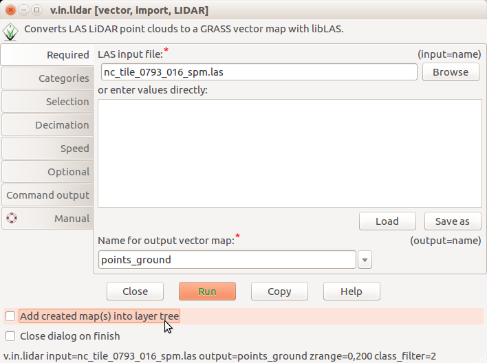 V.in.lidar dialog do not add into layer tree.png 708 × 528; 59 KB
-
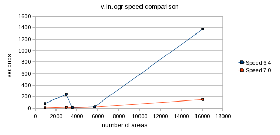 V.in.ogr speed.png 550 × 266; 15 KB
-
 V.net.alloc-small.png 180 × 158; 40 KB
-
 V.net.alloc.png 762 × 671; 62 KB
-
 V.net.iso-small.png 150 × 168; 37 KB
-
 V.net.iso.png 613 × 689; 56 KB
-
 V db addcolumn gui.png 619 × 404; 28 KB
-
 V digit.jpg 800 × 640; 148 KB
-
 V digit.png 1,280 × 1,024; 70 KB
-
 V digit tcltk.png 430 × 207; 11 KB
-
 V net dlg alloc.png 1,417 × 923; 594 KB
-
 V proj input split boundaries.png 807 × 508; 107 KB
-
 V proj input unsplit boundaries.png 807 × 508; 105 KB
-
 V proj result.png 807 × 508; 125 KB
-
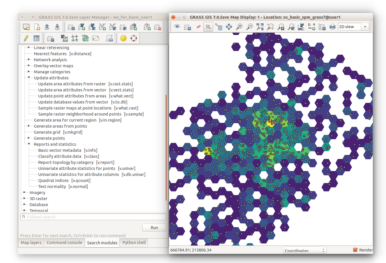 V vect stats hexagons with module tree.png 1,342 × 915; 386 KB
-
 Vclean.png 258 × 320; 12 KB
-
 Vclean difference.png 255 × 349; 10 KB
-
 Vector layer export.png 635 × 440; 43 KB
-
 Vector layer import.png 825 × 476; 75 KB
-
 Vector layer manager.png 950 × 257; 85 KB
-
 Vector lines roads.png 796 × 528; 149 KB
-
 Vector network GUI GRASS 72.png 1,157 × 672; 727 KB
-
 Vector out ogr.png 635 × 439; 34 KB
-
 Vero.jpg 400 × 400; 29 KB
-
 Veroandreo.jpg 456 × 649; 377 KB
-
 Vertex-create.png 24 × 24; 759 bytes
-
 Vertex-delete.png 24 × 24; 680 bytes
-
 Vertex-move.png 24 × 24; 733 bytes
-
 Vienna2014 code sprint panorama tiny.jpg 600 × 136; 15 KB
-
 Viewscape modeling with LiDAR.png 948 × 768; 783 KB
-
 Vmapcalc example1.png 823 × 305; 40 KB
-
 Vmapcalc example2.png 823 × 305; 40 KB
-
 Vnet-dlg-mapWin-1.png 789 × 471; 48 KB
-
 Vnet-pointslist-dlg-1.png 879 × 481; 35 KB
-
 Vnet-settings-dlg-1.png 346 × 462; 30 KB
-
 Vnet attribute table browser input.png 537 × 571; 94 KB
-
 Vnet dlg shortest path.png 866 × 503; 65 KB
-
 Voverlay gui.png 488 × 528; 35 KB
-
 Voverlay gui2.png 488 × 528; 41 KB
-
 WCS import with r external.png 1,325 × 628; 604 KB
-
 Weblate grassgis widget.png 412 × 546; 37 KB
-
 Weblate with machine translation DeepL.png 1,435 × 847; 111 KB
-
 Windows startup.png 431 × 558; 198 KB
-
 Wingrass63 installer1.jpg 513 × 396; 37 KB
-
 Wingrass63 installer2.jpg 517 × 400; 83 KB
-
 Wingrass63 installer3.jpg 516 × 399; 63 KB
-
 Wingrass7 RGui integration.png 1,032 × 644; 252 KB
-
 Wingrass7 R integration.png 1,034 × 649; 371 KB
-
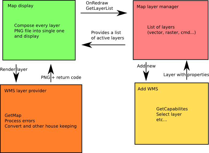 Wms architecture.png 681 × 500; 52 KB
-
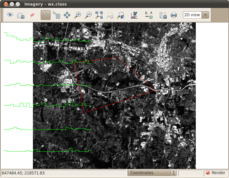
 Wx.class1.png 772 × 602; 313 KB
-
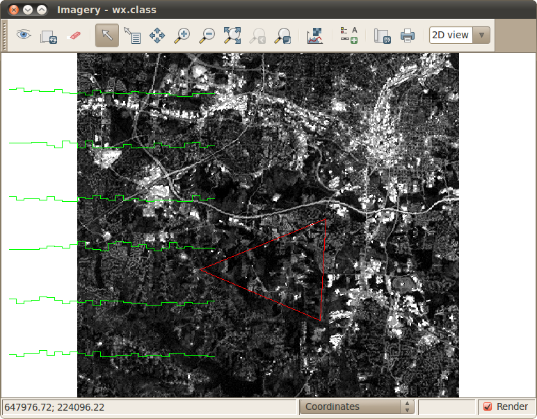
 Wx.class2.png 772 × 602; 314 KB
-
 Wx.class3.png 772 × 602; 314 KB
-
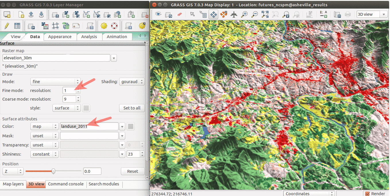 WxGUI 3Dview.png 1,358 × 684; 482 KB
-
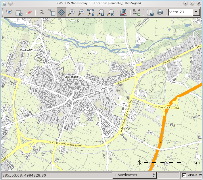 WxGUI and Piedmont (Italy) WMS.png 706 × 627; 379 KB
-
 WxGUI animation tool.jpg 907 × 491; 85 KB


_WMS.png)
