Uncategorized files
Jump to navigation
Jump to search
Showing below up to 500 results in range #501 to #1,000.
-
 Grass red 01.png 1,024 × 768; 485 KB
-
 Grass red 02.png 1,024 × 768; 525 KB
-
 Grass red 03.png 1,024 × 768; 601 KB
-
 Grass red 04.png 1,024 × 768; 890 KB
-
 Grass silver 01.png 1,024 × 768; 438 KB
-
 Grass silver 02.png 1,024 × 768; 461 KB
-
 Grass silver 03.png 1,024 × 768; 532 KB
-
 Grass sphere 01.png 1,024 × 768; 1,007 KB
-
 Grass sphere 02.png 1,024 × 768; 839 KB
-
 Grass sphere 03.png 1,024 × 768; 1.28 MB
-
 Grass sphere 04.png 1,024 × 768; 1.05 MB
-
 Grass sphere 05.png 1,024 × 768; 1.24 MB
-
 Grass sphere 06.png 1,024 × 768; 1.12 MB
-
 Grass sphere 06b3.png 1,024 × 768; 1.26 MB
-
 Grass sphere 06c.png 1,024 × 768; 1.27 MB
-
 Grass sphere 07.png 1,024 × 768; 1,022 KB
-
 Grass sphere 08.png 1,024 × 768; 1.08 MB
-
 Grass sphere 09.png 1,024 × 768; 1.24 MB
-
 Grass sphere 12.png 1,024 × 768; 814 KB
-
 Grass sphere 15.png 1,024 × 768; 990 KB
-
 Grass sphere 18b.png 1,024 × 768; 812 KB
-
 Grass sphere 18e.png 1,024 × 768; 852 KB
-
 Grass sphere 18f.png 1,024 × 768; 783 KB
-
 Grass sphere 18h.png 1,024 × 768; 688 KB
-
 Grass sprint10 JoHempel.jpg 850 × 1,277; 1.25 MB
-
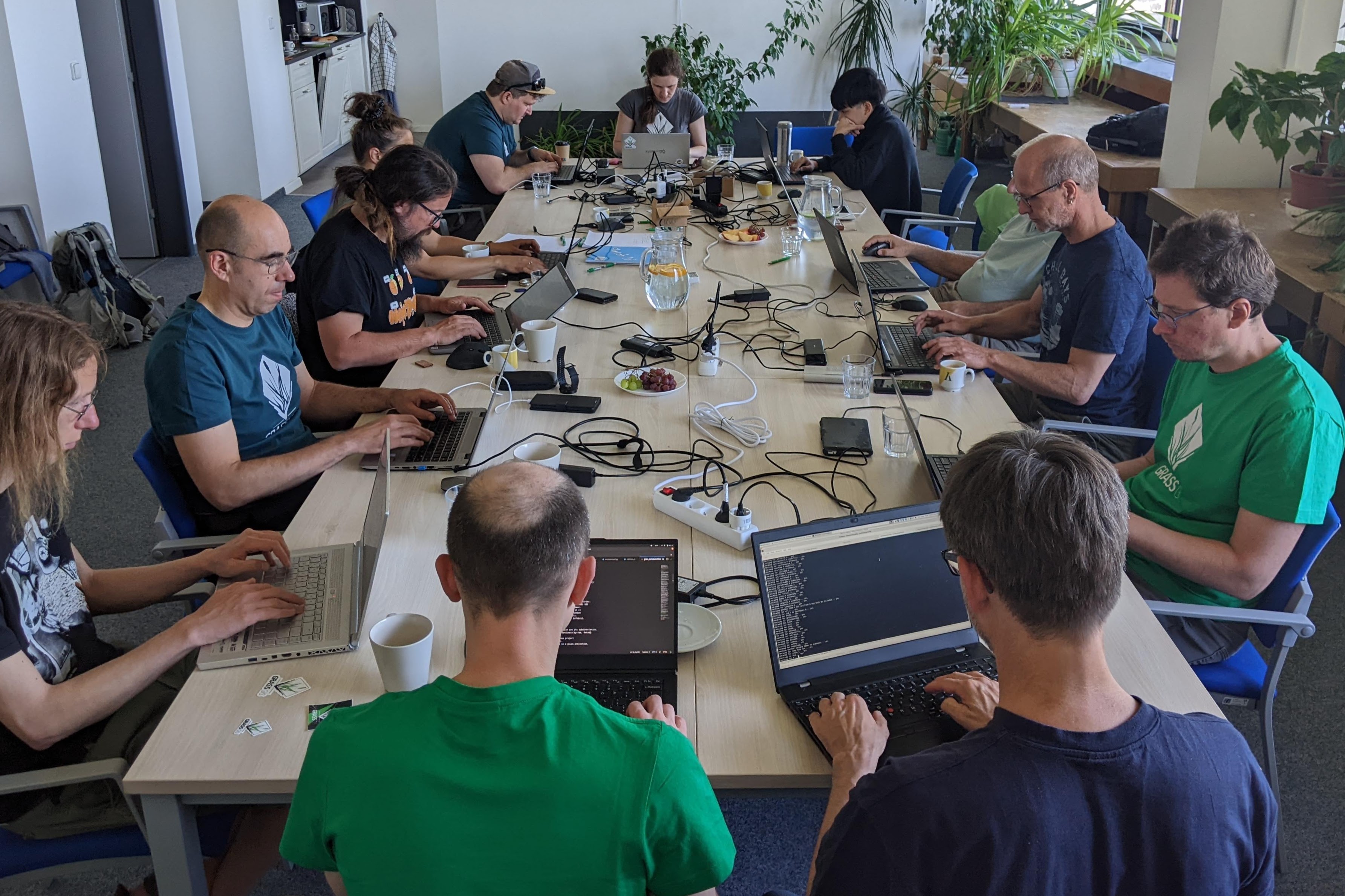
 Grass sprint2018 bonn fotowall.jpg 2,880 × 1,378; 1.38 MB
-
 Grass start tutorial6.png 638 × 642; 90 KB
-
 Grass vector area.png 191 × 138; 7 KB
-
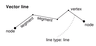 Grass vector line.png 315 × 152; 8 KB
-
 Grass vectors.png 493 × 400; 57 KB
-
 Grass vintage tshirt closeup.jpg 2,016 × 1,512; 623 KB
-
 Grass vintage tshirt framed.jpg 2,016 × 1,512; 426 KB
-
 Grass win 01.png 1,024 × 768; 1.25 MB
-
 Grass win 02.png 1,024 × 768; 1.41 MB
-
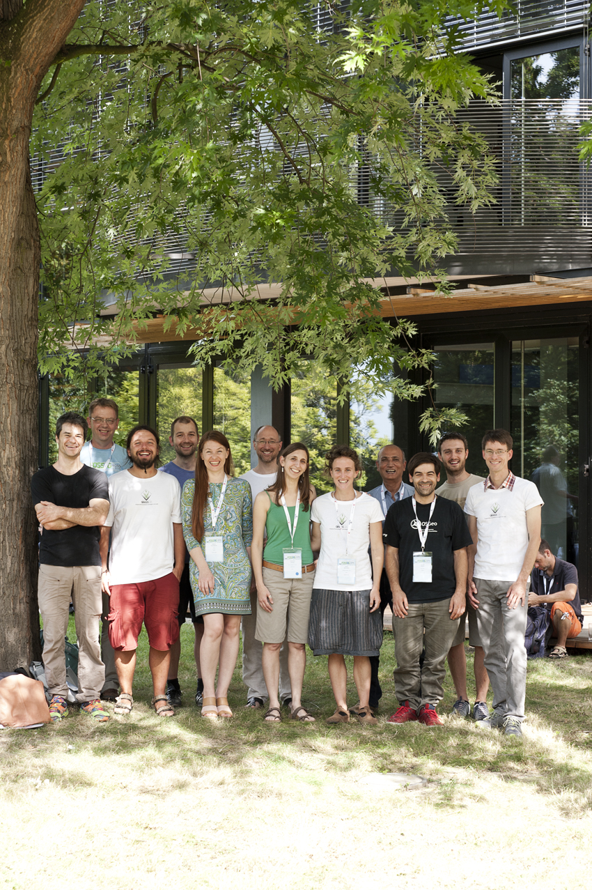
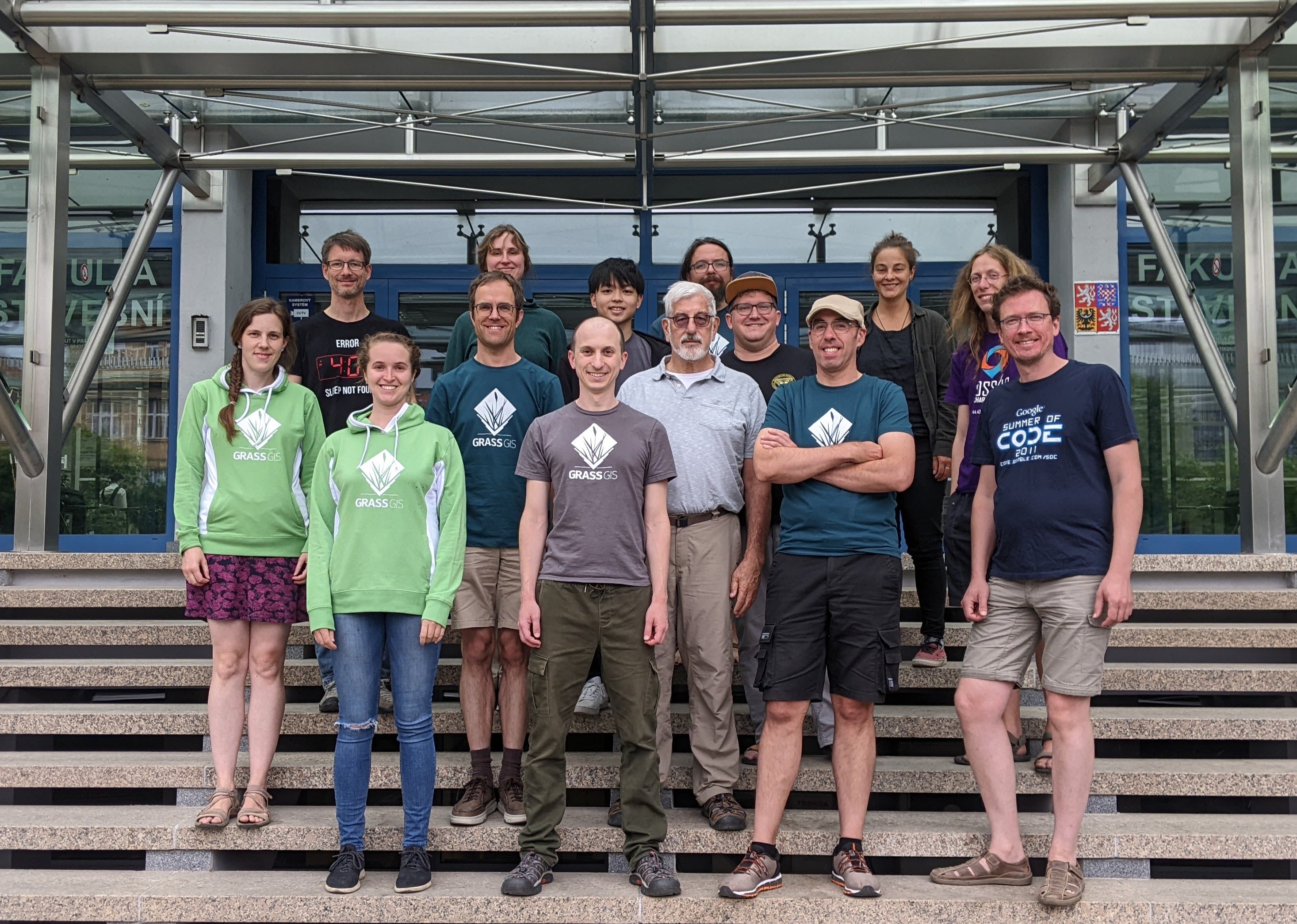
 Grassgis 2019 berlin sprint group photo.jpg 3,027 × 2,169; 461 KB
-
 Grassgis cs genova swiping intensity and segmented rgb group photo.png 1,478 × 566; 489 KB
-
 Grassgis logo colorlogo text whitebg.png 572 × 735; 48 KB
-
-
-
 Grasslidar 1.png 647 × 720; 68 KB
-
 Grasslidar 10.png 329 × 137; 7 KB
-
 Grasslidar 11.png 639 × 613; 59 KB
-
 Grasslidar 12.png 1,349 × 714; 85 KB
-
 Grasslidar 13.png 681 × 384; 36 KB
-
 Grasslidar 14.png 626 × 651; 28 KB
-
 Grasslidar 15.png 629 × 652; 19 KB
-
 Grasslidar 16.png 1,351 × 600; 285 KB
-
 Grasslidar 17.png 525 × 184; 25 KB
-
 Grasslidar 18.png 524 × 502; 28 KB
-
 Grasslidar 19.png 526 × 194; 24 KB
-
 Grasslidar 2.png 733 × 445; 72 KB
-
 Grasslidar 20.png 531 × 603; 46 KB
-
 Grasslidar 21.png 937 × 373; 69 KB
-
 Grasslidar 22.png 732 × 413; 49 KB
-
 Grasslidar 23.png 511 × 497; 26 KB
-
 Grasslidar 24.png 511 × 496; 28 KB
-
 Grasslidar 25.png 515 × 497; 26 KB
-
 Grasslidar 26.png 510 × 489; 25 KB
-
 Grasslidar 27.png 507 × 494; 36 KB
-
 Grasslidar 28.png 1,273 × 594; 304 KB
-
 Grasslidar 29.png 602 × 152; 44 KB
-
 Grasslidar 3.png 734 × 447; 81 KB
-
 Grasslidar 30.png 549 × 421; 23 KB
-
 Grasslidar 31.png 1,031 × 748; 570 KB
-
 Grasslidar 32.png 507 × 264; 17 KB
-
 Grasslidar 33.png 515 × 198; 17 KB
-
 Grasslidar 34.png 507 × 495; 37 KB
-
 Grasslidar 35.png 189 × 373; 20 KB
-
 Grasslidar 36.png 717 × 563; 231 KB
-
 Grasslidar 37.png 470 × 499; 23 KB
-
 Grasslidar 38.png 940 × 499; 44 KB
-
 Grasslidar 39.png 719 × 567; 336 KB
-
 Grasslidar 4.png 962 × 574; 83 KB
-
 Grasslidar 40.png 825 × 602; 159 KB
-
 Grasslidar 41.png 702 × 627; 42 KB
-
 Grasslidar 42.png 817 × 739; 95 KB
-
 Grasslidar 43.png 517 × 497; 27 KB
-
 Grasslidar 44.png 156 × 81; 6 KB
-
 Grasslidar 45.png 815 × 591; 75 KB
-
 Grasslidar 46.png 373 × 222; 20 KB
-
 Grasslidar 47.png 615 × 477; 33 KB
-
 Grasslidar 48.png 825 × 597; 204 KB
-
 Grasslidar 49.png 900 × 397; 155 KB
-
 Grasslidar 5.png 734 × 446; 69 KB
-
 Grasslidar 50.png 549 × 177; 24 KB
-
 Grasslidar 51.png 646 × 721; 33 KB
-
 Grasslidar 52.png 514 × 496; 47 KB
-
 Grasslidar 53.png 677 × 346; 17 KB
-
 Grasslidar 54.png 516 × 504; 27 KB
-
 Grasslidar 55.png 513 × 354; 19 KB
-
 Grasslidar 56.png 228 × 97; 10 KB
-
 Grasslidar 57.png 544 × 335; 18 KB
-
 Grasslidar 58.png 824 × 596; 277 KB
-
 Grasslidar 59.png 44 × 39; 1 KB
-
 Grasslidar 6.png 732 × 442; 78 KB
-
 Grasslidar 60.png 406 × 220; 9 KB
-
 Grasslidar 61.png 194 × 266; 13 KB
-
 Grasslidar 62.png 904 × 592; 62 KB
-
 Grasslidar 63.png 614 × 471; 32 KB
-
 Grasslidar 64.png 907 × 600; 53 KB
-
 Grasslidar 65.png 513 × 464; 21 KB
-
 Grasslidar 66.png 906 × 597; 55 KB
-
 Grasslidar 67.png 907 × 598; 48 KB
-
 Grasslidar 68.png 513 × 463; 18 KB
-
 Grasslidar 69.png 609 × 179; 20 KB
-
 Grasslidar 7.png 486 × 177; 11 KB
-
 Grasslidar 70.png 474 × 456; 25 KB
-
 Grasslidar 71.png 469 × 454; 30 KB
-
 Grasslidar 8.png 450 × 180; 10 KB
-
 Grasslidar 9.png 453 × 172; 9 KB
-
 Grasslogo vector small.png 110 × 123; 5 KB
-
 Grasswiki distance between sections.png 300 × 310; 23 KB
-
 Grasswiki distance between toc and section.png 300 × 250; 17 KB
-
 Grasswiki history logo A.png 193 × 216; 31 KB
-
 Grasswiki logogram suggestion A vector.png 207 × 224; 32 KB
-
 Grasswiki logogram suggestion B vector.png 193 × 214; 12 KB
-
 Grasswiki logogram suggestion E vector.png 207 × 224; 28 KB
-
 Grasswiki logogram suggestion F vector.png 207 × 224; 31 KB
-
 Grasswiki special pages distance between sections.png 887 × 351; 31 KB
-
 Gregori AcquiferiCarsici.pdf ; 755 KB
-
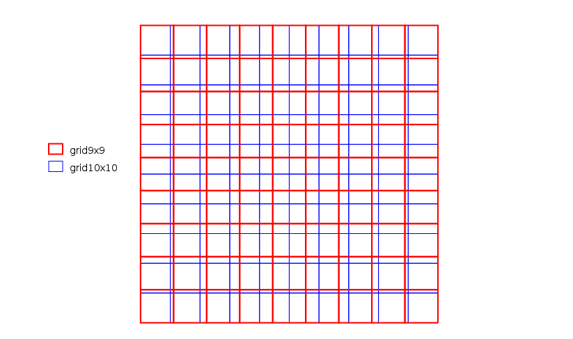 Grid examples.png 823 × 487; 14 KB
-
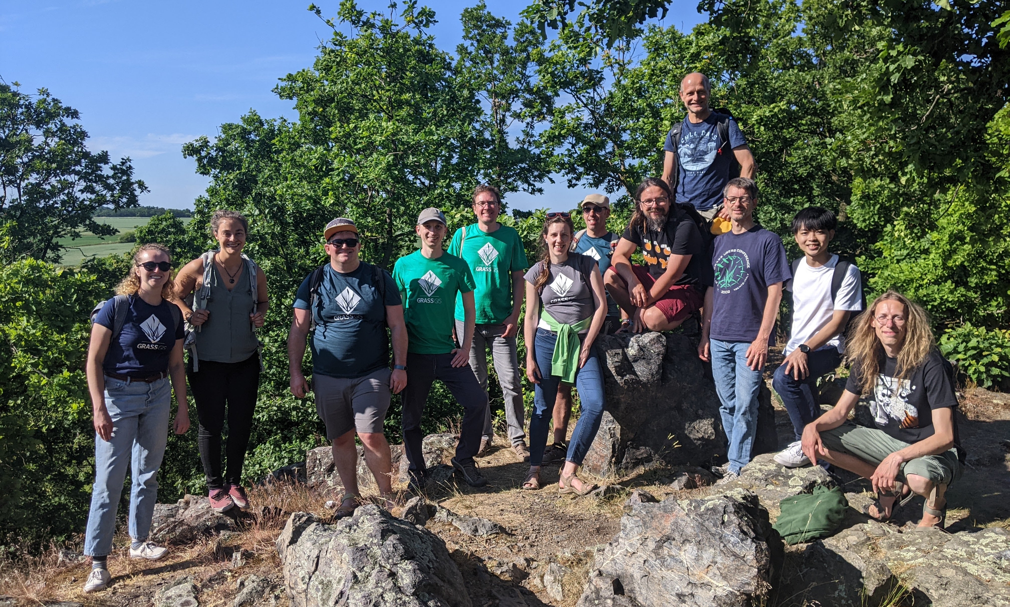 Group-photo-hike.jpg 4,032 × 2,424; 2.85 MB
-
 Group-photo2-day4.jpg 2,933 × 2,090; 1.24 MB
-
 Gsoc-2012-logo-color.png 1,369 × 694; 580 KB
-
 Gsoc-2013-logo-color.jpg 931 × 496; 60 KB
-
 Gsoc 2010 logo.jpg 300 × 267; 77 KB
-
 Gsoc 2011 logo.png 1,126 × 750; 217 KB
-
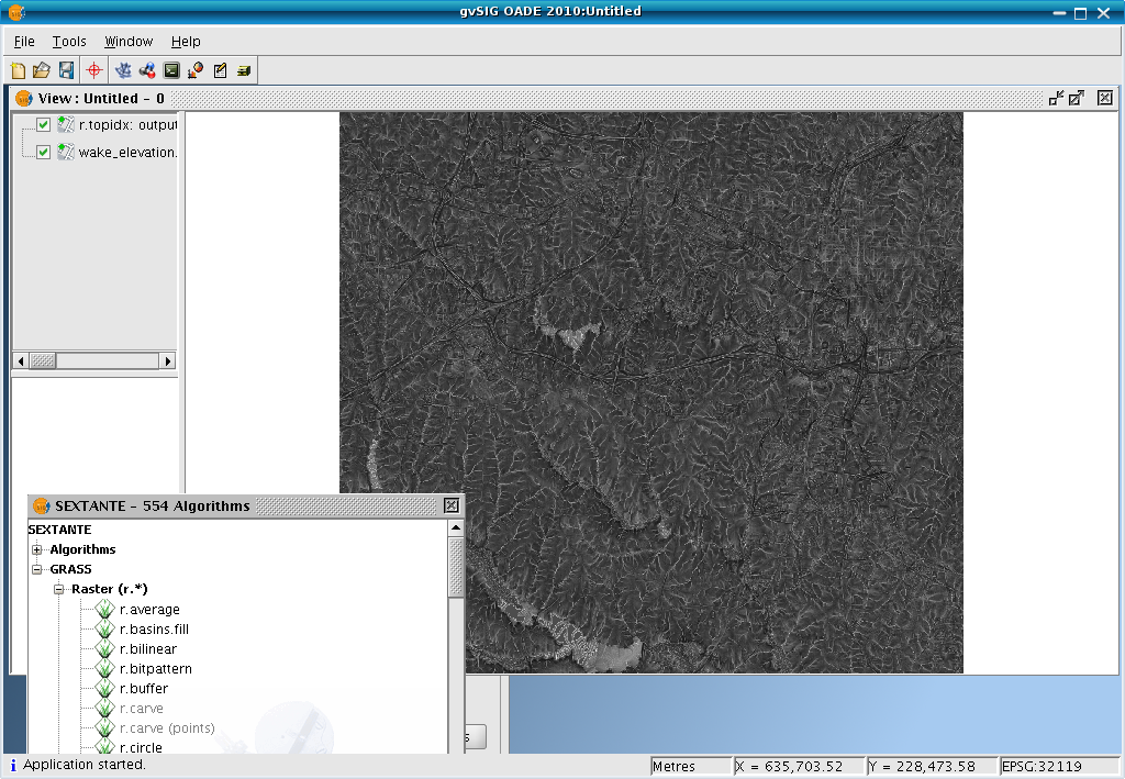 GvSIG OADE sextante rtopidx.png 1,024 × 709; 556 KB
-
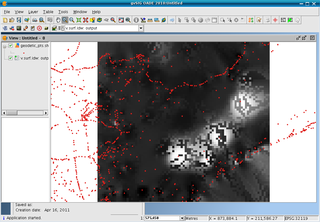 GvSIG OADE sextante vsurfidw.png 1,024 × 709; 112 KB
-
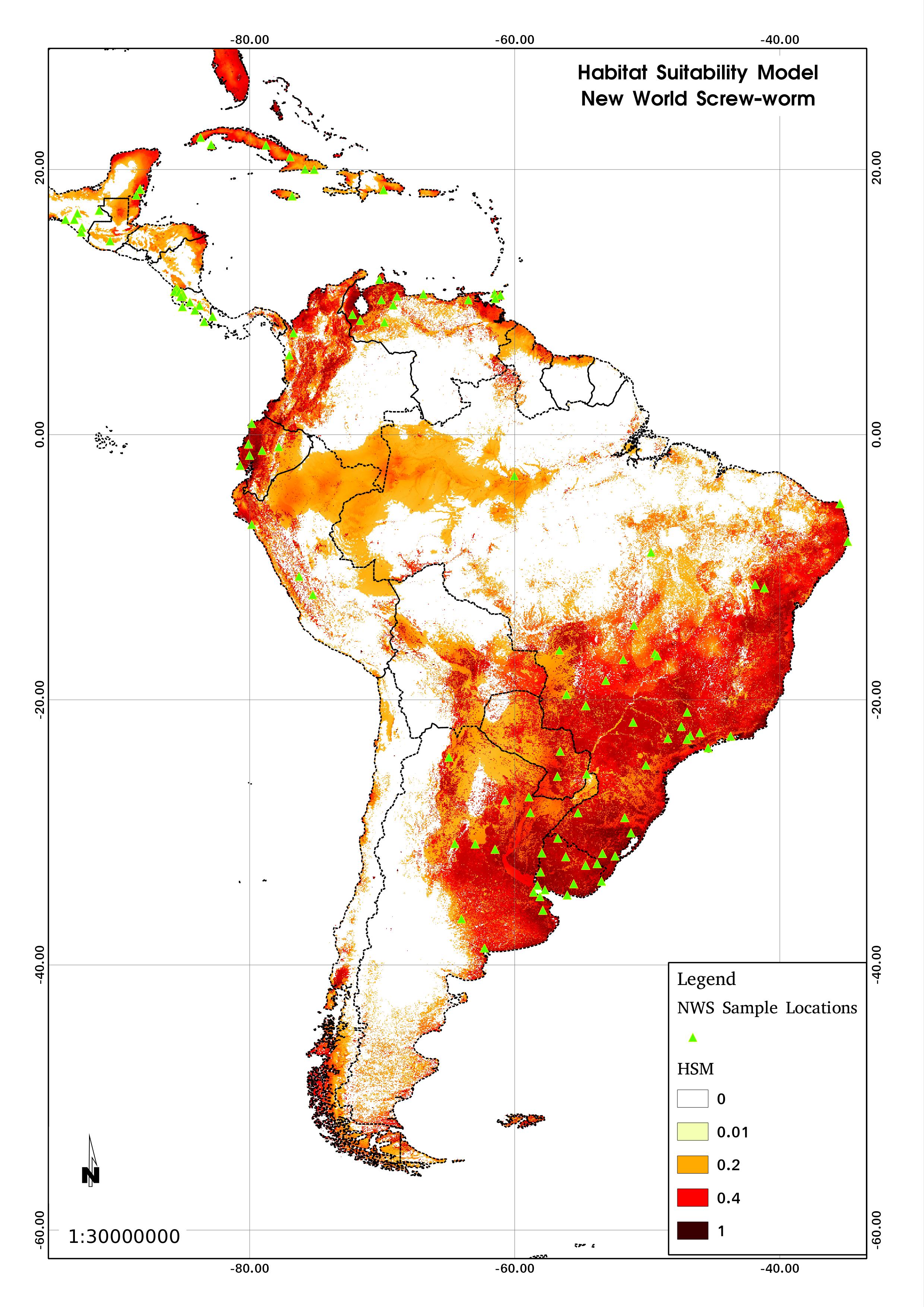 HSM.jpg 2,480 × 3,507; 1,023 KB
-
 Hackfest solany 2014.jpg 1,280 × 850; 825 KB
-
 Half-box.png 47 × 49; 332 bytes
-
 Half-overlay.png 198 × 79; 2 KB
-
 Half arrow x2.png 40 × 27; 285 bytes
-
 Hamish.jpg 121 × 159; 3 KB
-
 Hargrove 2021 repeat burnability.png 900 × 348; 286 KB
-
 Hargrove 2021 within year seasonality.png 900 × 349; 293 KB
-
 Headger.png 50 × 50; 319 bytes
-
 Helena.jpg 102 × 120; 11 KB
-
 Hellik.png 114 × 112; 25 KB
-
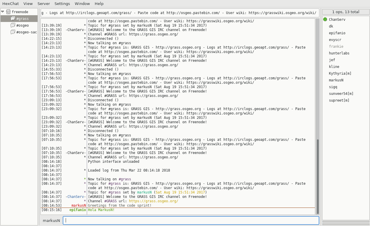 Hexchat IRC client.png 1,262 × 772; 171 KB
-
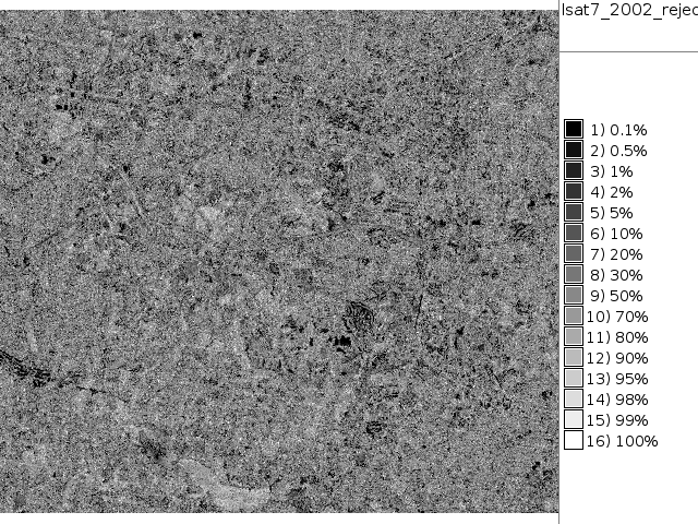
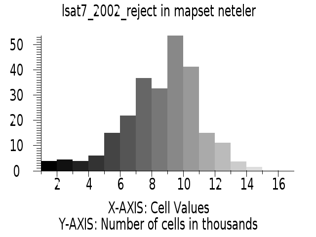 Histogram lsat7 2002 reject.png 640 × 480; 24 KB
-
 Holl.png 114 × 139; 9 KB
-
 How innovations thrive in GRASS GIS.png 800 × 400; 331 KB
-
 HuidaeCho.png 687 × 747; 742 KB
-
 Hunt 2015 1.jpg 411 × 547; 98 KB
-
 Hunt 2015 2.jpg 547 × 411; 80 KB
-
 Hunt Library with GRASS GIS logo.png 499 × 375; 219 KB
-
 Hunt fishbowl 2015 1.jpg 547 × 411; 101 KB
-
 Hunt fishbowl 2015 2.jpg 547 × 411; 95 KB
-
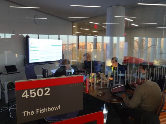 Hunt fishbowl 2015 3.jpg 547 × 411; 95 KB
-
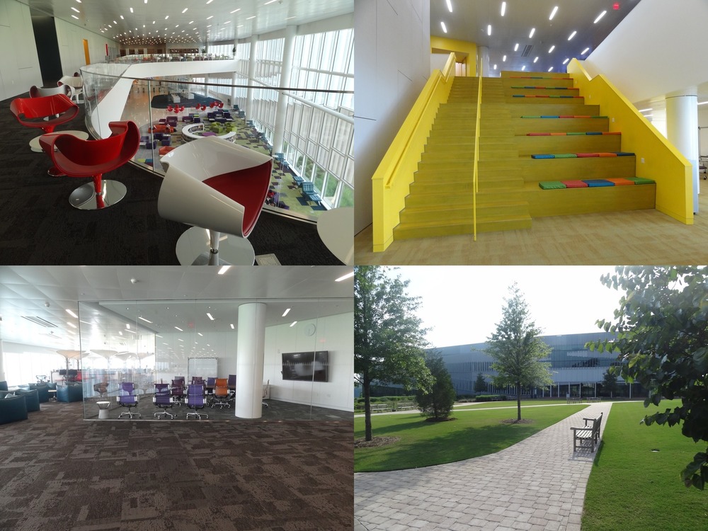 Hunt library spaces.jpg 1,000 × 750; 206 KB
-
 HyperionR50G35B100.png 452 × 1,050; 173 KB
-
 ICC STC illustration.png 1,272 × 734; 468 KB
-
 ICC workshop 3Dview ortho.png 1,271 × 739; 1.45 MB
-
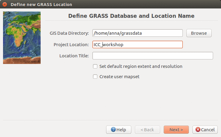 ICC workshop location wizard define 7.2.png 729 × 454; 118 KB
-
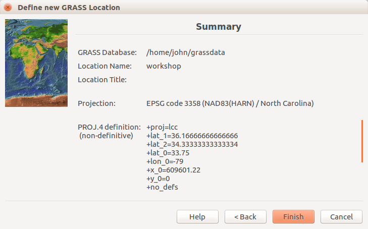
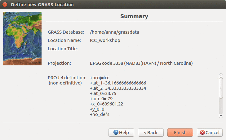 ICC workshop location wizard summary 7.2.png 729 × 454; 114 KB
-
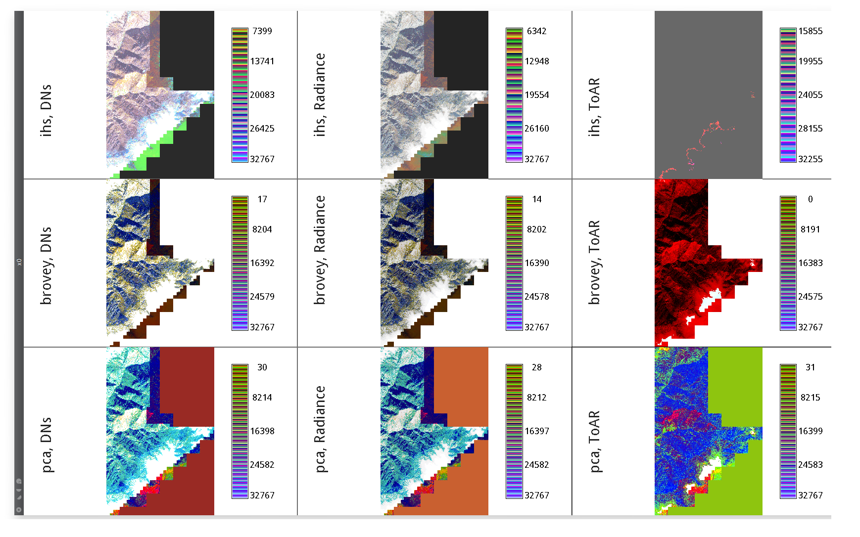 IKONOS PanSharpening Three Inputs Greyscaled Three Methods.png 1,738 × 1,086; 888 KB
-
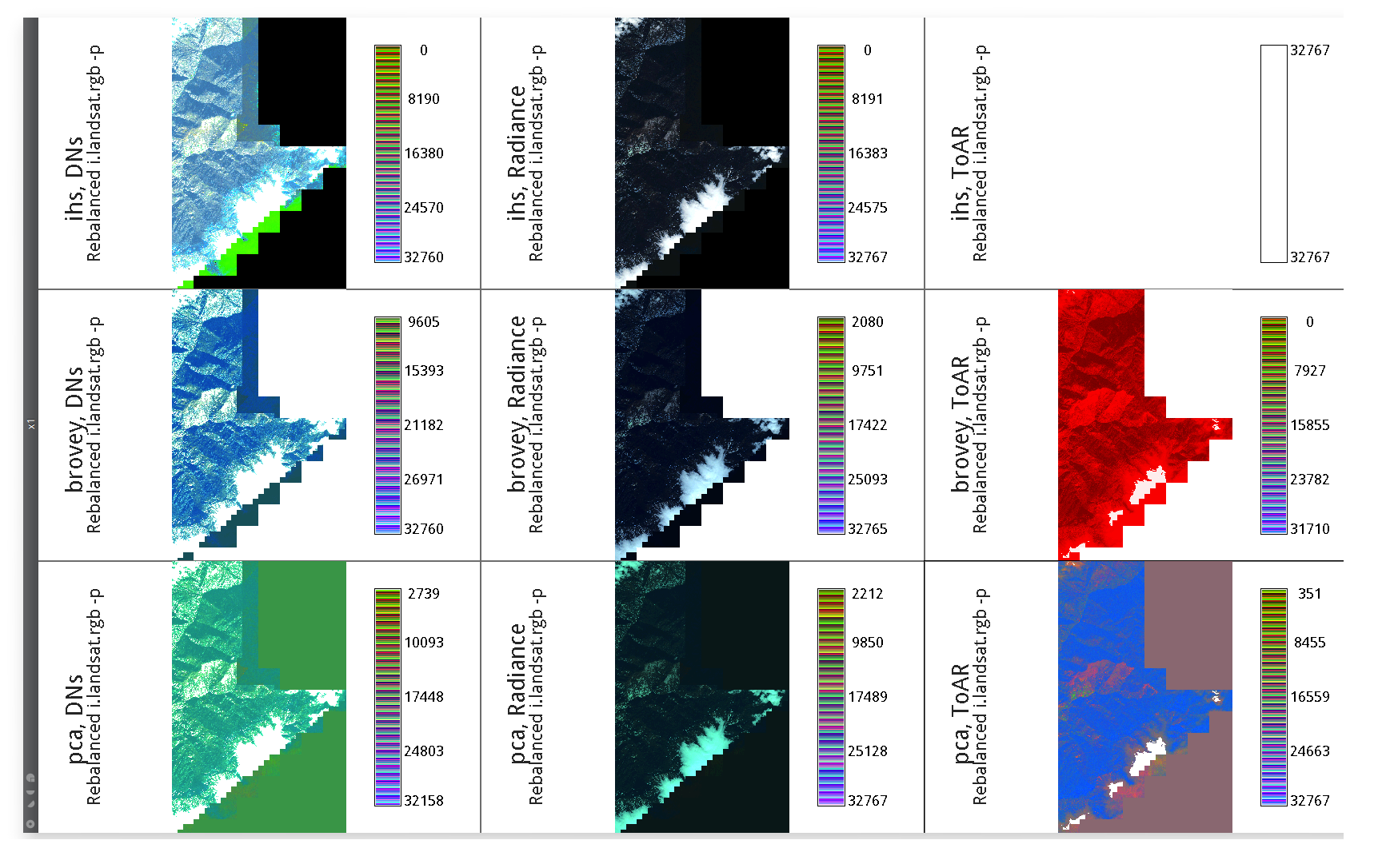 IKONOS PanSharpening Three Inputs Rebalanced Three Methods.png 1,738 × 1,086; 712 KB
-
 IMG 1198.JPG 1,273 × 955; 189 KB
-
 I evapo time.png 1,867 × 731; 170 KB
-
 Icc2017 logo.png 860 × 251; 64 KB
-
 Iclass scatter plot.png 1,153 × 1,000; 967 KB
-
 ImgViewer.png 314 × 340; 66 KB
-
 Import dxf.png 637 × 679; 50 KB
-
 Import raster 7.2.1.png 630 × 550; 130 KB
-
 Inglis 2021 boulder viewscape.png 905 × 674; 1.13 MB
-
 Inlets 03 SurfSal icw big.png 998 × 1,032; 113 KB
-
 Interactive inserting of coords dialog.png 480 × 232; 30 KB
-
 Irc chatzilla.png 649 × 509; 62 KB
-
 Isisgrasswelcome.png 625 × 757; 165 KB
-
 Isprs prague meetup.jpg 500 × 375; 63 KB
-
 Jachym.png 102 × 143; 34 KB
-
 Jeziorska uav grass puddle mar 18.png 473 × 401; 207 KB
-
 Jim-westervelt-80s.jpeg 369 × 423; 54 KB
-
 Jupyter interactive viewshed.png 653 × 519; 124 KB
-
 Jupyter notebook with grass gis.png 1,154 × 787; 221 KB
-
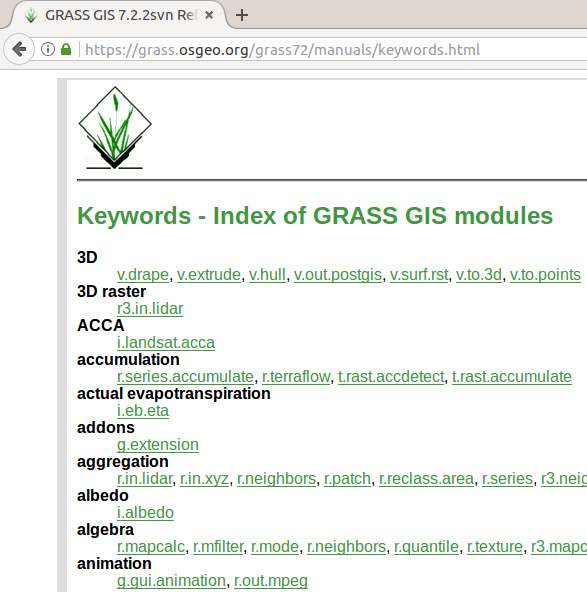
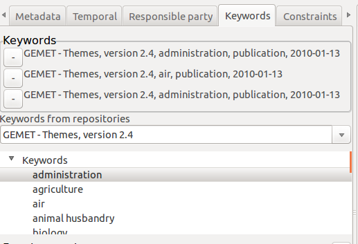 Keywords.png 517 × 353; 38 KB
-
 Kumar 2018 agu poster.png 766 × 338; 368 KB
-
 LAS serpent nviz.jpg 714 × 794; 94 KB
-
 LausanneDemoDataset3dParaview 10.png 1,764 × 831; 601 KB
-
 LausanneDemoDataset3dParaview 4.png 1,280 × 831; 299 KB
-
 Layer-import.png 24 × 24; 362 bytes
-
 Layer3.png 480 × 309; 34 KB
-
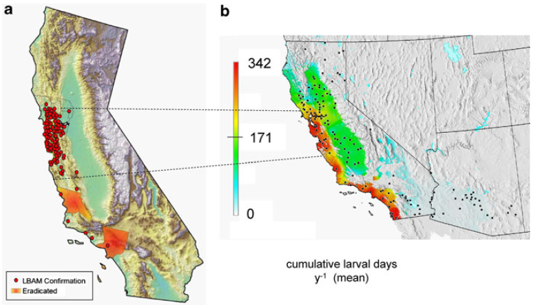 Lbam.png 774 × 443; 382 KB
-
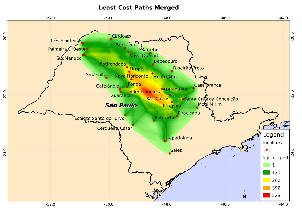 Lcp merged.jpg 1,052 × 744; 83 KB
-
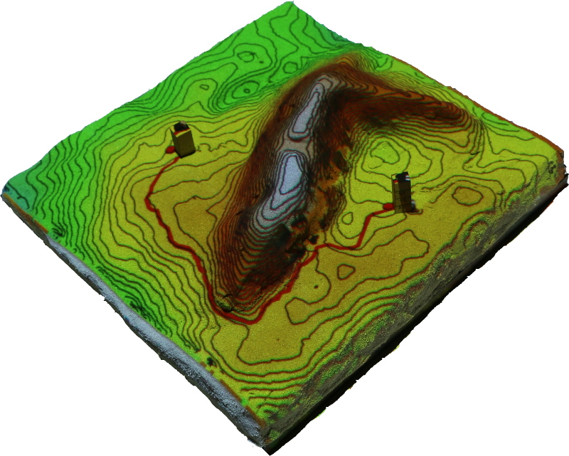 Least cost path.jpg 800 × 641; 246 KB
-
-
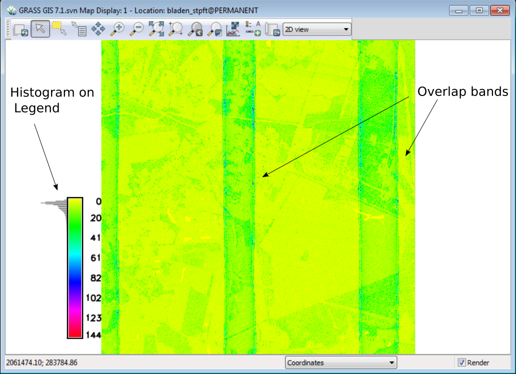
 Lidar point density with fine resolution showing swath overlap.png 696 × 549; 246 KB
-
 Line-create.png 24 × 24; 805 bytes
-
 Line-delete.png 24 × 24; 724 bytes
-
 Line-move.png 24 × 24; 769 bytes
-
 Line-split.png 24 × 24; 521 bytes
-
 Line graph.png 603 × 382; 30 KB
-
 Lively discussion.jpg 4,032 × 1,571; 949 KB
-
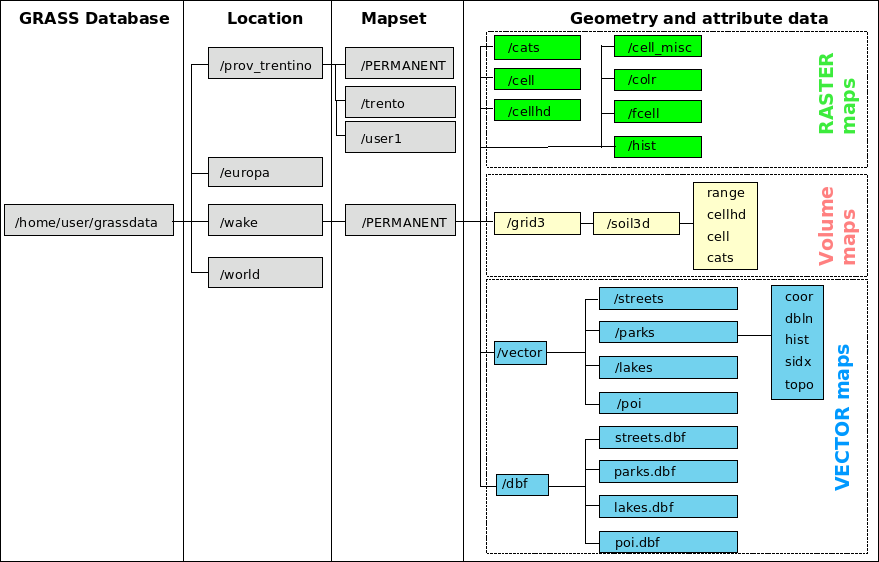 Loc struct.png 879 × 562; 63 KB
-
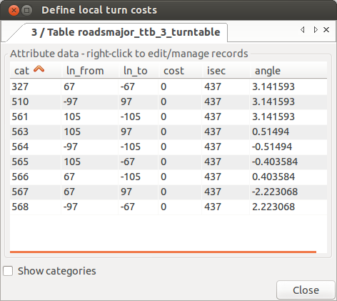 Local ttb.png 472 × 421; 43 KB
-
 Location Wizard Geodatum.png 741 × 740; 221 KB
-
 Location Wizard geodatum1.png 733 × 739; 217 KB
-
 Location wizard EPSG3358 7.2.png 729 × 454; 131 KB
-
 Location wizard define.png 729 × 454; 83 KB
-
 Location wizard epsg datum transformation.png 729 × 454; 116 KB
-
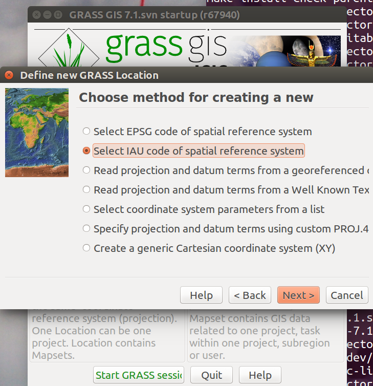
 Location wizard method 7.2.png 729 × 454; 126 KB
-
 Location wizard select IAU Projection.png 757 × 480; 123 KB
-
 Location wizard select Planetary Ellipsoid Page.png 756 × 481; 118 KB
-
 Location wizard select Planetary Ellipsoid Page1.png 756 × 482; 105 KB
-
 Location wizard select Planetary Ellipsoid Page2.png 760 × 482; 120 KB
-
 Location wizard select Planetary Ellipsoid Page3.png 758 × 484; 112 KB
-
 Location wizard select Projection.png 741 × 751; 221 KB
-
 Location wizard summary 7.2.1.png 729 × 454; 88 KB
-
 Location wizard with IAU codes.png 729 × 754; 234 KB
-
 Logo cvut.jpg 800 × 608; 375 KB
-
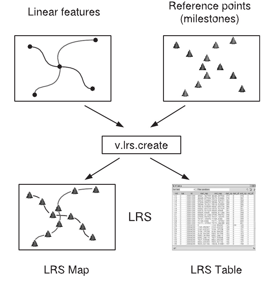 Lrs creation.png 896 × 926; 139 KB
-
 Lsat7 cluster.png 170 × 163; 5 KB
-
 Lsat7 cluster plr4n.png 170 × 163; 5 KB
-
 Lsat7 cluster plr4n 5.png 170 × 163; 5 KB
-
 Lsat7 cluster plr8n.png 170 × 163; 5 KB
-
 Lsat7 cluster plr8n 5.png 170 × 163; 5 KB
-
 Lsat 2002 10.png 1,366 × 768; 276 KB
-
 Lucadelu.png 110 × 110; 24 KB
-
 Maciek.png 102 × 132; 19 KB
-
 Madi.jpg 342 × 571; 20 KB
-
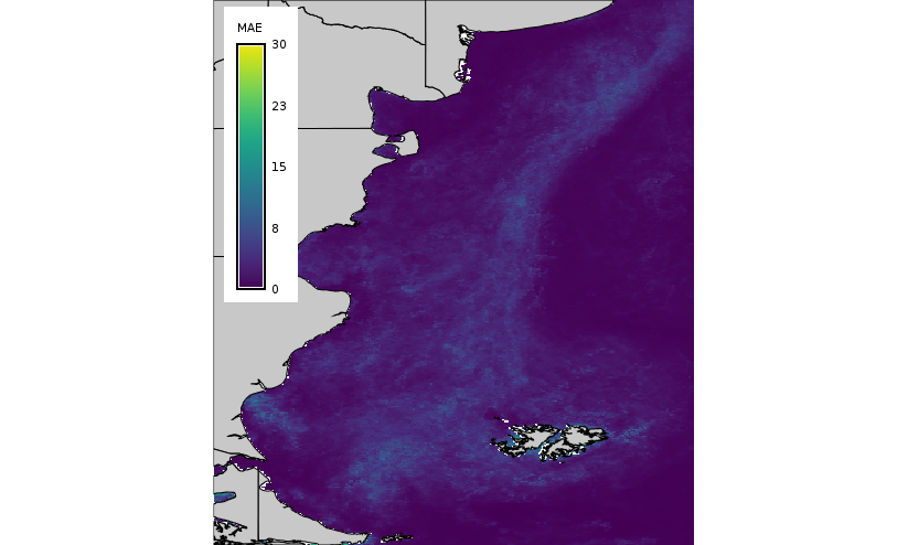
 Mae hants map.png 823 × 494; 205 KB
-
 Mae lwr map.png 823 × 494; 159 KB
-
 Malte1.jpg 500 × 595; 45 KB
-
 Malte2.jpg 100 × 119; 7 KB
-
 Manual pages online keywords 7.2.png 587 × 592; 51 KB
-
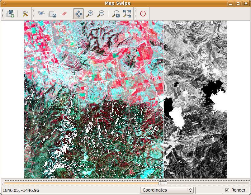 MapSwipe1.png 806 × 626; 513 KB
-
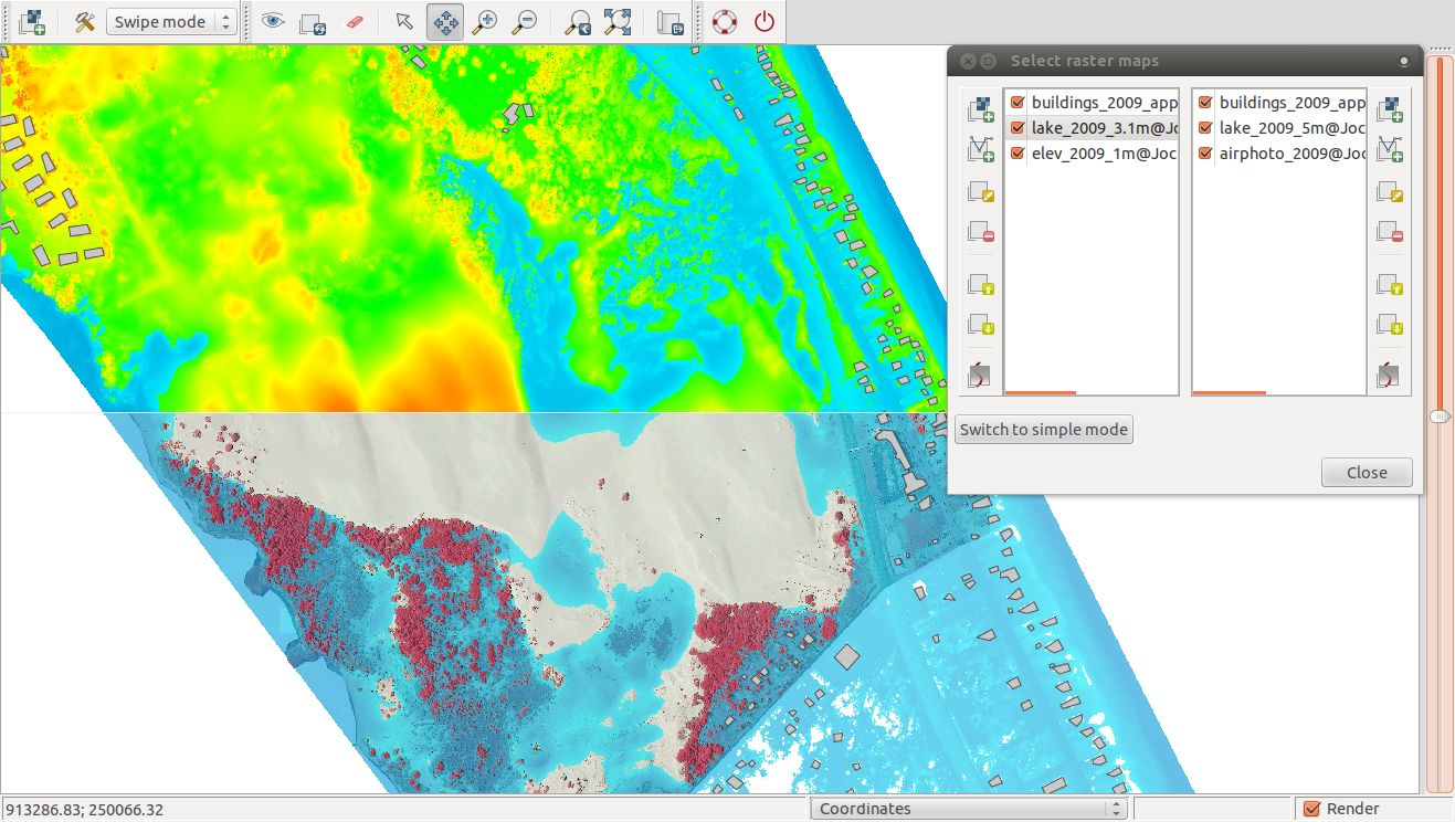 MapSwipe multiple layers.png 1,317 × 744; 752 KB
-
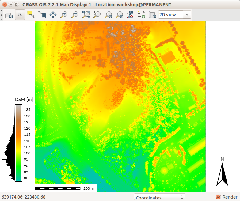 Map Display with DSM and legend with histogram.png 783 × 656; 380 KB
-
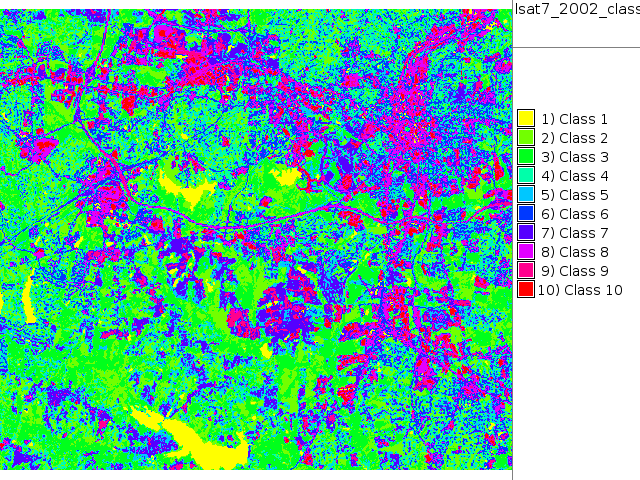 Map lsat7 2002 class.png 640 × 480; 164 KB
-
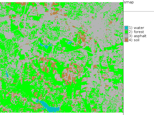 Map lsat7 2002 class supervised.png 640 × 480; 69 KB
-
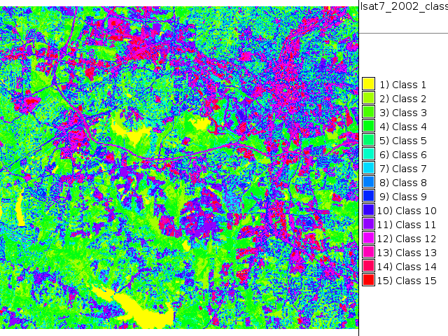 Map lsat7 2002 class unsupervised 15.png 640 × 480; 182 KB
-
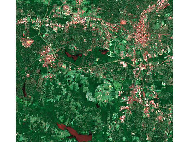 Map lsat7 2002 r1g5b7.png 640 × 480; 687 KB
-
 Map lsat7 2002 reject.png 640 × 480; 237 KB
-
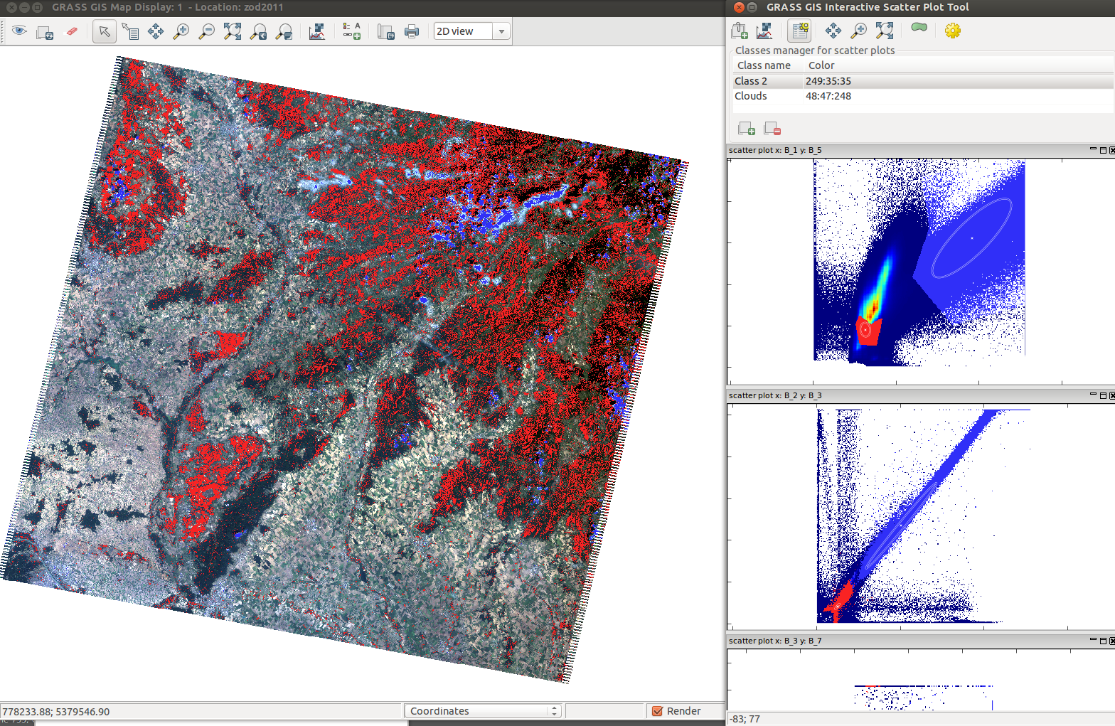 Mapdisplay iscatt.png 1,568 × 1,021; 1.47 MB
-
 Mappedwith freeh.png 1,192 × 563; 63 KB
-
 Mappedwith typo.png 1,196 × 438; 69 KB
-
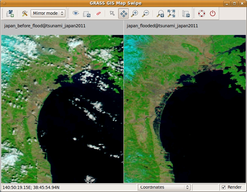 Mapswipe tsunami mirror.jpeg 806 × 626; 342 KB
-
 Marie-Curie logo.jpg 567 × 550; 153 KB
-
 Maris nartiss.jpg 500 × 455; 97 KB
-
 Markus.jpg 121 × 121; 2 KB
-
 Mars1ana crop.jpg 585 × 517; 61 KB
-
 Martin Landa.png 200 × 460; 133 KB
-
 Mean monthly global rad maps over a study area in central Greece.png 711 × 400; 470 KB
-

-
 Medfly.png 993 × 873; 1,016 KB
-
 Mediawiki distance between sections.png 300 × 310; 21 KB
-
 Mediawiki distance between toc and section.png 300 × 250; 15 KB
-
 Meetup2016-10-18.jpeg 716 × 955; 149 KB
-
 Michael.jpg 319 × 480; 39 KB
-
 Mitasova petras 2018 agu grass gis.jpg 915 × 724; 201 KB
-
 Mitasova petras 2018 agu grass gis abstract.png 999 × 562; 752 KB
-
 Mlanda.png 400 × 534; 311 KB
-
 Modeler-main.png 24 × 24; 1 KB
-
 NC landsat map swipe.jpg 809 × 663; 189 KB
-
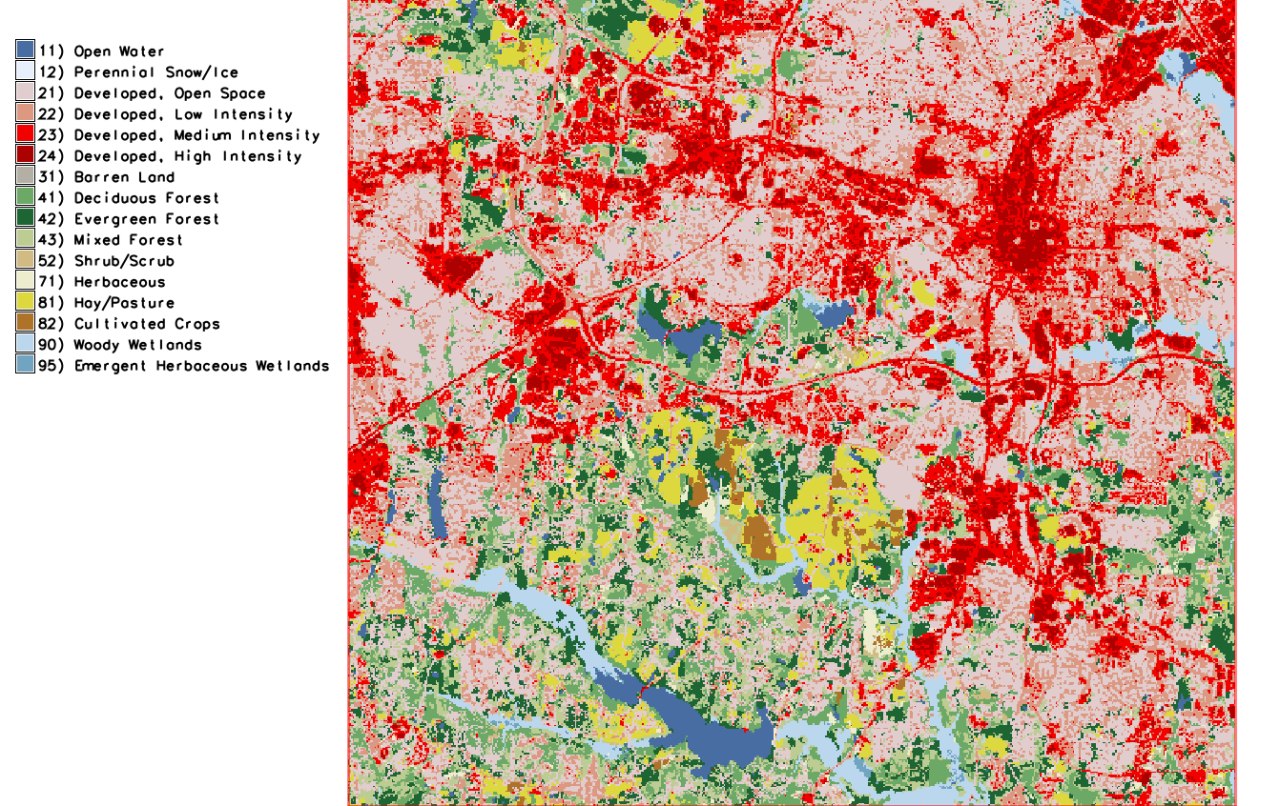
 NLCD 2016 Land Cover example.png 637 × 480; 53 KB
-
 NLCD Colour Classification Update.jpg 1,450 × 2,375; 848 KB
-
 NSF Official logo.png 1,000 × 1,000; 279 KB
-
 NSF grant announcement.png 1,500 × 773; 252 KB
-
 N arrows7.png 350 × 699; 11 KB
-
 NagsHead.gif 259 × 186; 405 KB
-
 Narrow1.png 404 × 489; 8 KB
-
 Nc buildings stereo.png 915 × 537; 500 KB
-
 Nc spm 08 the computational region concept 800px height.png 670 × 800; 212 KB
-
 Nc spm 09 d.correlation of lsat5 1987 40 and lsat5 1987 70.png 523 × 556; 108 KB
-
 Nc spm 09 r.blend of aspect and streams derived buffered.png 523 × 556; 431 KB
-
 Ncdata.png 950 × 580; 314 KB
-
 Ncdata new.png 950 × 580; 314 KB
-
 Ncgis2017 ncsu booth tangible landscape.jpg 800 × 601; 136 KB
-
 Ncgis logo 2017.png 325 × 325; 4 KB
-
 Ncsu cga booth agu 2018.jpg 735 × 980; 126 KB
-
 Ncsu logo.jpg 454 × 224; 52 KB
-
 Ndvi based on histomatched summer landsat utm z34n.png 805 × 1,130; 631 KB
-
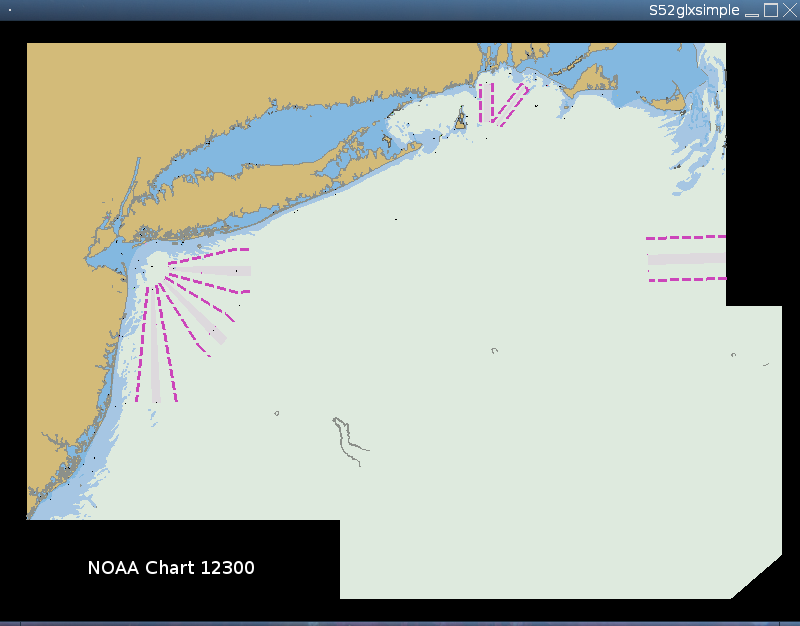 Noaa 12300 simpleglx.png 800 × 626; 44 KB
-
 North Carolina landuse 2019 Raleigh area.jpeg 1,280 × 806; 376 KB
-
 Nuske 2011.jpg 200 × 264; 38 KB
-
 Nviz cmd cutting planes.png 798 × 489; 62 KB
-
 Nviz cutting plane analysis tab.png 1,202 × 611; 361 KB
-
 Nviz cutting plane dem dsm.png 1,290 × 600; 553 KB
-
 Nviz data tab dsm set relative positon.png 580 × 753; 82 KB
-
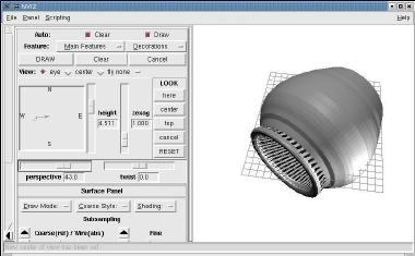
 Nviz isosurf3d small.jpg 299 × 222; 9 KB
-
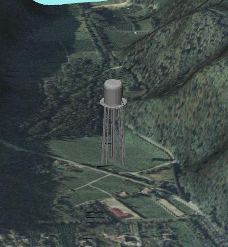 Nviz watertower.jpg 446 × 483; 36 KB
-
 OSGeo 220pix.png 262 × 117; 16 KB
-
 OSGeo JP logo for web.png 1,324 × 332; 23 KB
-
 OSGeo booth Boston 2017.jpg 1,500 × 844; 311 KB
-
 OSGeo code sprint2014.png 591 × 107; 123 KB
-
 Object nviz from dxf mesh small.jpg 380 × 235; 17 KB
-
 Olympus mons-medium.jpg 200 × 193; 12 KB
-
 Oo base newtable1.png 668 × 415; 22 KB
-
 Oo base newtable1 small.png 393 × 243; 11 KB
-
 Oo base newtable2.png 668 × 415; 16 KB
-
 Oo base newtable2 small.png 393 × 243; 9 KB
-
 Oo base newtable3.png 668 × 415; 26 KB
-
 Oo base newtable3 small.png 393 × 243; 14 KB
-
 Oo base paste.png 863 × 464; 52 KB
-
 Oo base paste small.png 508 × 272; 29 KB
-
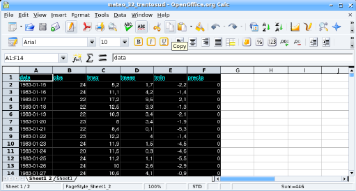
 Oo calc.png 869 × 466; 86 KB
-
 Oo calc small.png 511 × 274; 47 KB
-
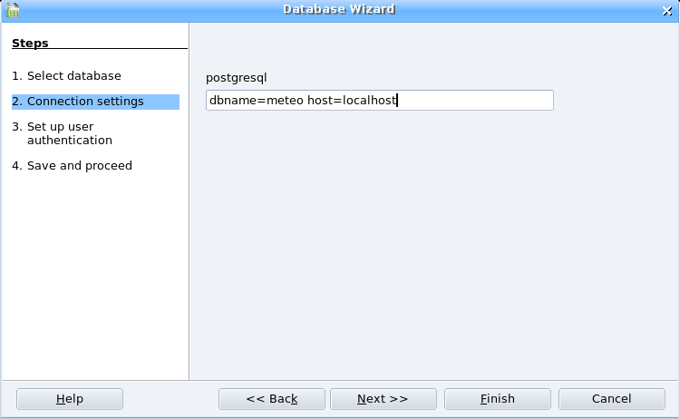 Oobase pg connect1.png 750 × 462; 21 KB
-
 Oobase pg connect1 small.png 441 × 270; 12 KB
-
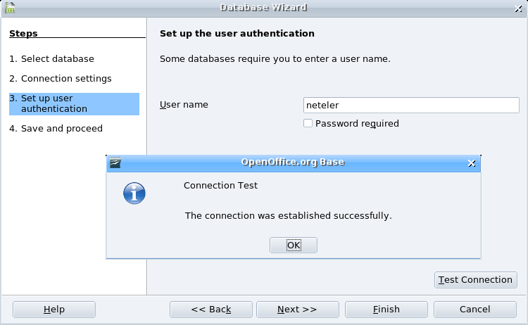 Oobase pg connect2.png 750 × 462; 38 KB
-
 Oobase pg connect2 small.png 441 × 270; 22 KB
-
 Oobase pg connect3.png 750 × 462; 40 KB
-
 Oobase pg connect3 small.png 441 × 270; 25 KB
-
 Ord hack.png 501 × 402; 31 KB
-
 Ord horton.png 500 × 401; 32 KB
-
 Ord shreeve.png 500 × 401; 35 KB
-
 Ord strahler.png 500 × 401; 30 KB
-
 Osgeo-logo.png 300 × 102; 30 KB
-
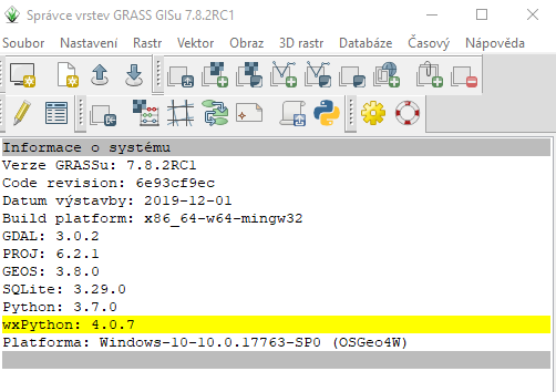 Osgeo4w-wxpython-4.0.7.png 502 × 354; 36 KB
-
 Osgeo4w 1.png 592 × 133; 8 KB
-
 Osgeo4w 2 advanced.png 537 × 399; 20 KB
-
 Osgeo4w 2 express.png 543 × 402; 20 KB
-
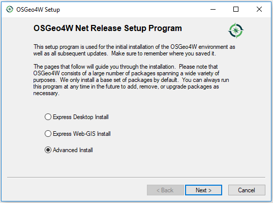
 Osgeo4w 3 advanced.png 763 × 402; 22 KB
-
 Osgeo4w 3 express.png 540 × 398; 12 KB
-
 Osgeo logo.png 359 × 117; 12 KB
-
 Osm map2d.png 1,121 × 599; 64 KB
-
 Osm map2d buildings.png 664 × 382; 14 KB
-
 Osm map3d buildings.png 1,055 × 562; 44 KB
-
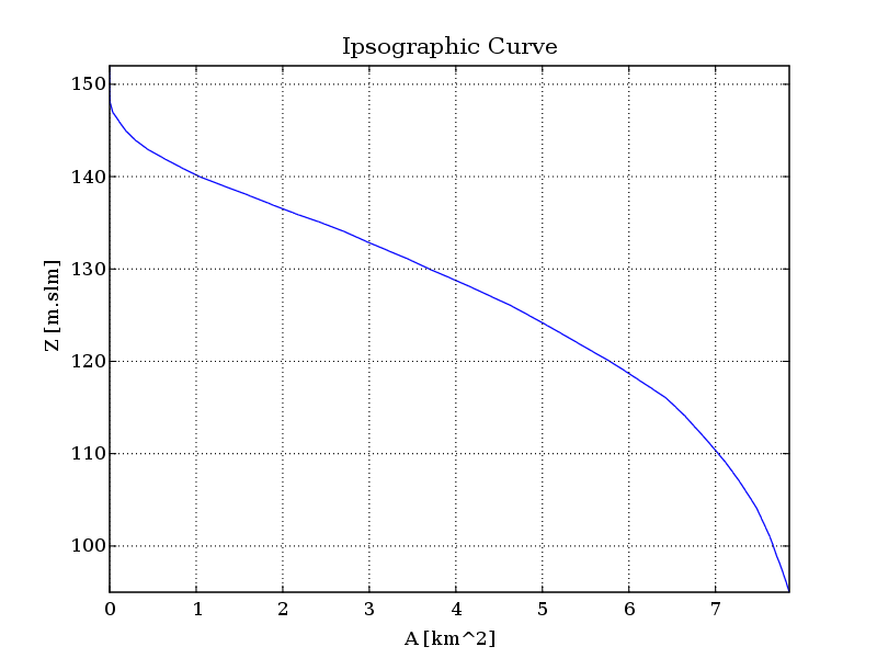 Out elevation Ipsographic.png 800 × 600; 25 KB
-
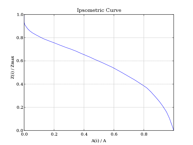 Out elevation Ipsometric.png 800 × 600; 24 KB
-
 Out elevation accumulation.png 798 × 531; 17 KB
-
 Out elevation aspect.png 798 × 531; 135 KB
-
 Out elevation basin.png 798 × 531; 5 KB
-
 Out elevation dist2out.png 798 × 531; 56 KB
-
 Out elevation drainage.png 798 × 531; 45 KB
-
 Out elevation hack.png 798 × 531; 16 KB
-
 Out elevation hillslope distance.png 798 × 531; 94 KB
-
 Out elevation horton.png 798 × 531; 17 KB
-
 Out elevation mainchannel.png 798 × 531; 4 KB
-
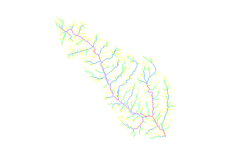
 Out elevation network.png 798 × 531; 14 KB
-
 Out elevation outlet.png 798 × 531; 3 KB
-
 Out elevation shreve.png 798 × 531; 19 KB
-
 Out elevation slope.png 798 × 531; 125 KB
-
 Out elevation strahler.png 798 × 531; 17 KB
-
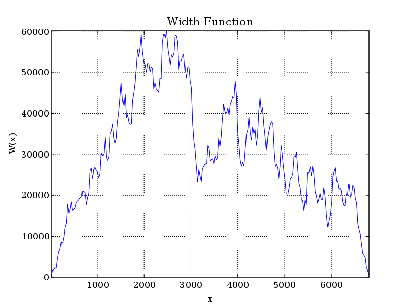 Out elevation width function.png 800 × 600; 44 KB
-
 Output gguitplot.png 1,707 × 670; 62 KB
-
 PASL1500701140134440805020299B.jpg 1,313 × 1,275; 128 KB
-
 PXL 20230603 085440353.jpg 3,569 × 2,378; 1.11 MB
-
 Palsar in grass64.png 1,334 × 686; 774 KB
-
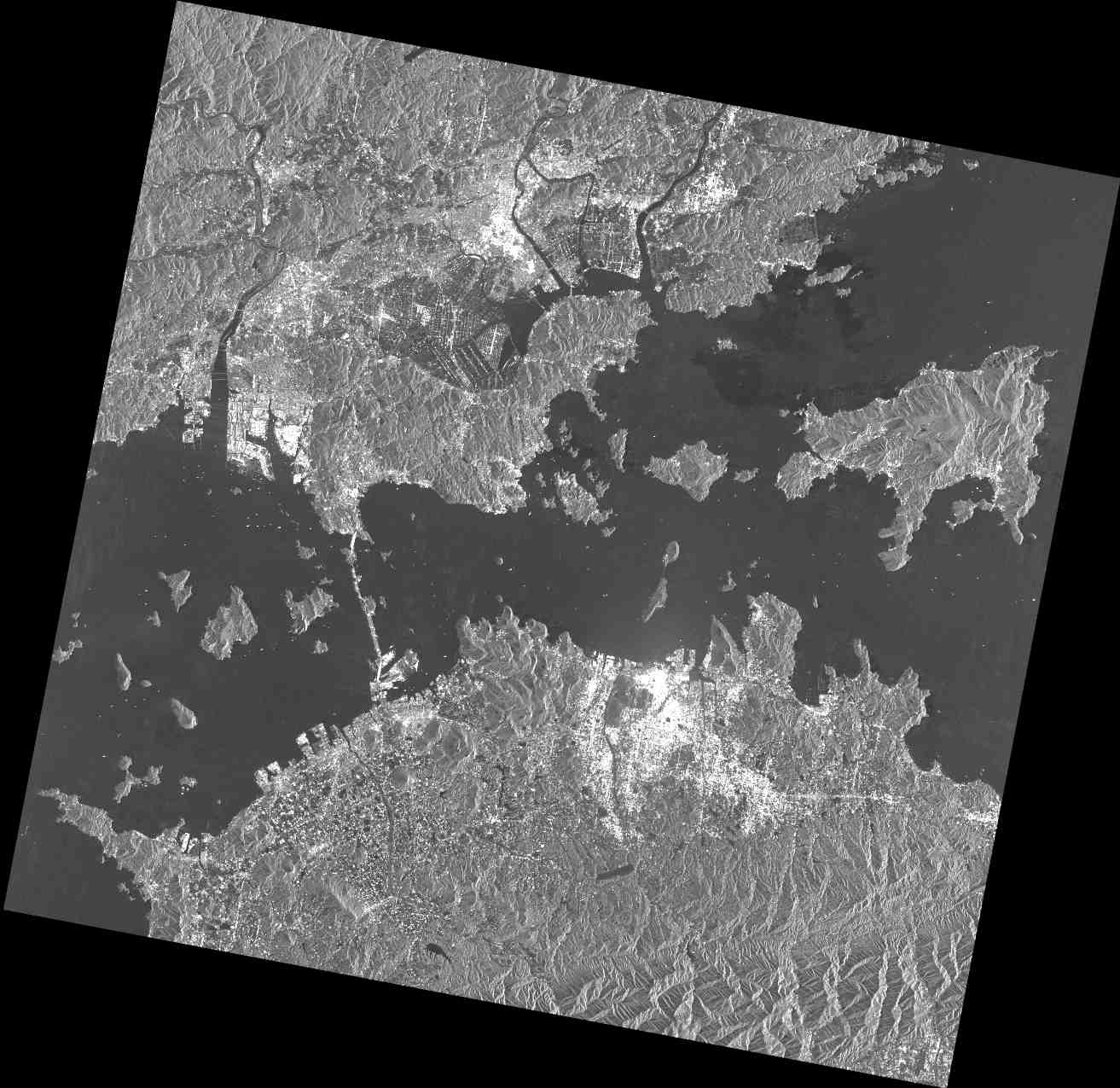
 Palsar osm japan2008.png 764 × 781; 1.11 MB
-
 Pan 04APR05050541-M2AS-000000186011 01 P001.jpg 1,024 × 592; 163 KB
-
 Params ttb.png 362 × 549; 54 KB
-
 Paraview fondazione mach 3D.png 1,280 × 782; 716 KB
-
 Paraview fondazione mach ortho 3D.png 1,920 × 1,173; 1.4 MB
-
 Paris2017sprint.jpg.jpg 3,744 × 1,907; 1.55 MB
-
 Pdfexp.png 612 × 185; 24 KB
-
 Petras 2018 agu gcitation.jpg 1,007 × 730; 197 KB
-
 Petras 2018 agu gcitation abstract.png 1,056 × 626; 160 KB
-
 Petrasova gaydos tangible landscape oregon sod workshop.jpg 776 × 558; 126 KB
-
 Pgis and guests 4 2013.jpg 1,000 × 669; 155 KB
-
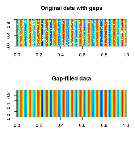 Plot gaps nogaps.png 461 × 480; 44 KB
-
 Plr drawing.png 360 × 541; 37 KB
-
 Point-create.png 24 × 24; 787 bytes
-
 Polygon-create.png 24 × 24; 1 KB
-
 Polygon map topology problems.png 1,166 × 410; 5 KB
-
 Polygons overlapping.png 415 × 586; 11 KB
-
 Polygons overlapping cleaned.png 360 × 506; 9 KB
-
 Portland2014 grassgis7 code sprint.jpg 1,300 × 975; 173 KB
-
 Poster grass2 reduced.png 841 × 1,191; 1.78 MB
-
 Powerby freeh.png 338 × 574; 45 KB
-
 Powerby synth.png 3,394 × 2,358; 186 KB
-
 Powerby typo.png 338 × 493; 41 KB
-
 Prague-Community-Meeting-2023-crop.jpg 3,958 × 1,941; 7.08 MB
-
 Prague-Community-Meeting-2023.jpg 4,032 × 3,024; 1.95 MB
-
 Prague 2019 group.jpg 1,560 × 2,080; 501 KB
-
 Prague 2019 whiteboards and things.jpg 1,200 × 900; 321 KB
-
 Ps.out linex A.png 399 × 347; 5 KB
-
 Ps.out linex B.png 432 × 356; 4 KB
-
 Ps.out linex C.png 404 × 331; 6 KB
-
 Ps.out linex D.png 412 × 329; 5 KB
-
 Ps.out linex P.png 419 × 367; 9 KB
-
 Ps.out linex R.png 451 × 334; 7 KB
-
 Ps.out linex S.png 468 × 385; 6 KB
-
 Ps.out linex X.png 313 × 266; 4 KB
-
 Ps.out scalebar l.png 326 × 48; 2 KB
-
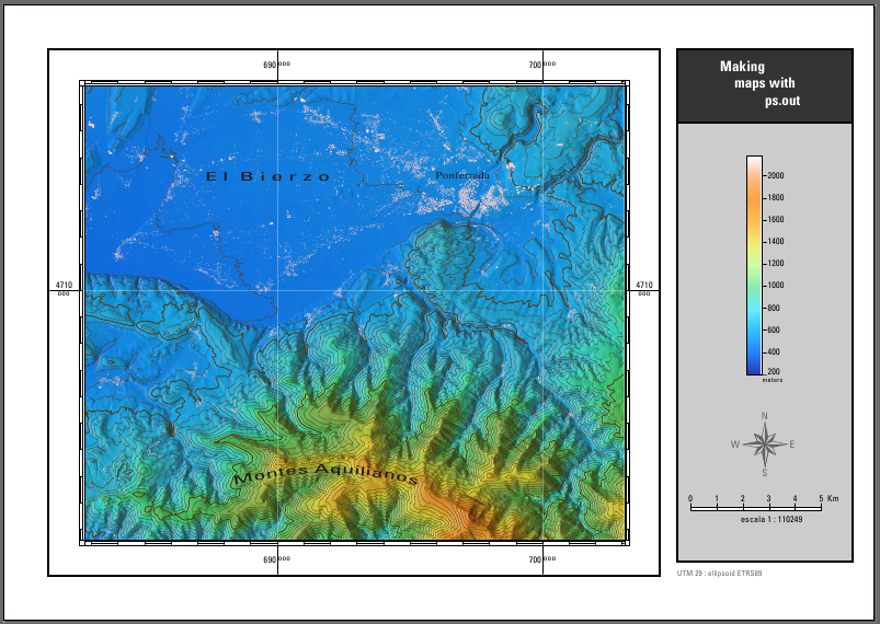
 Ps.output.png 750 × 517; 320 KB
-
 Ps out can.png 200 × 200; 3 KB
-
 Ps out compass.png 256 × 256; 27 KB
-
 Ps out digit lower.png 130 × 170; 3 KB
-
 Ps out digit upper.png 130 × 180; 3 KB
-
 Ps out final.png 803 × 570; 417 KB
-
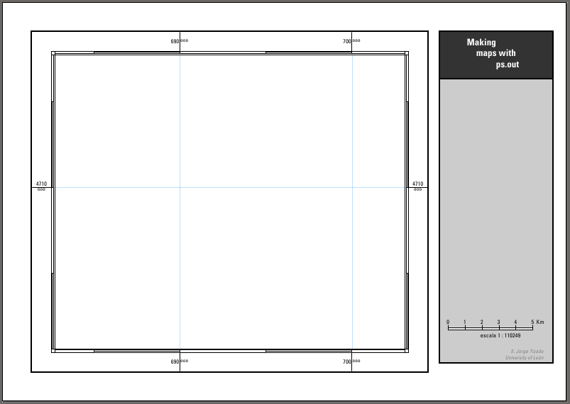 Ps out first.png 803 × 570; 12 KB
-
 Ps out grid.png 130 × 110; 2 KB
-
 Ps out iho.png 200 × 200; 4 KB
-
 Ps out in.png 200 × 200; 2 KB
-
 Ps out maplimits.png 100 × 100; 2 KB
-
 Ps out north1.png 100 × 100; 1 KB
-
 Ps out north2.png 100 × 100; 3 KB
-
 Ps out note dimen.png 338 × 119; 9 KB
-
 Ps out note free.png 185 × 93; 3 KB
-
 Ps out note freec.png 200 × 113; 5 KB
-
 Ps out note ml.png 173 × 135; 10 KB
-
 Ps out note scale.png 116 × 57; 2 KB
-
 Ps out note scaler.png 107 × 211; 4 KB
-
 Ps out out.png 200 × 200; 3 KB
-
 Ps out out1.png 400 × 330; 5 KB
-
 Ps out out2.png 400 × 330; 6 KB
-
 Ps out out3.png 418 × 358; 5 KB
-
 Ps out raster.png 554 × 504; 313 KB
-
 Ps out raster1.png 569 × 517; 362 KB
-
 Ps out raster2.png 568 × 515; 450 KB
-
 Ps out raster3.png 561 × 510; 501 KB
-
 Ps out raster3d.png 562 × 506; 428 KB
-
 Ps out raster gray.png 554 × 503; 153 KB
-
 Ps out raster grey.png 553 × 502; 239 KB
-
 Ps out raster lsat.png 560 × 510; 501 KB
-
 Ps out raster mask.png 554 × 504; 188 KB
-
 Ps out raster mask0.png 549 × 502; 51 KB
-
 Ps out raster mask1.png 555 × 506; 78 KB
-
 Ps out raster mask2.png 555 × 505; 241 KB
-
 Ps out raster mask3.png 553 × 505; 277 KB
-
 Ps out raster outline.png 553 × 504; 355 KB
-
 Ps out raster setcolor.png 554 × 505; 361 KB
-
 Ps out rlegend.png 200 × 352; 15 KB
-
 Ps out rlegend1.png 121 × 489; 8 KB
-
 Ps out rlegend2.png 479 × 107; 5 KB
-
 Ps out scalebar 3.png 801 × 232; 10 KB
-
 Ps out scalebar F.png 375 × 89; 3 KB
-
 Ps out scalebar I.png 355 × 78; 3 KB
-
 Ps out scalebar S.png 422 × 93; 3 KB
-
 Ps out scalebar f.png 379 × 79; 3 KB
-
 Ps out scalebar s.png 423 × 82; 3 KB
-
 Ps out second.png 803 × 569; 314 KB
-
 Ps out third.png 802 × 568; 351 KB
-
 Ps out vareas0.png 543 × 501; 46 KB
-
 Ps out vareas1.png 546 × 507; 46 KB
-
 Ps out vareas2.png 546 × 506; 42 KB
-
 Ps out vareas3.png 546 × 505; 45 KB
-
 Ps out vareas4.png 541 × 489; 53 KB
-
 Ps out vareas5.png 404 × 370; 19 KB
-
 Ps out vlabels0.png 562 × 507; 193 KB
-
 Ps out vlines0.png 502 × 501; 24 KB
-
 Ps out vlines1.png 620 × 558; 297 KB
-
 Ps out vpoints0.png 546 × 505; 21 KB
-
 Ps out vpoints1.png 545 × 501; 43 KB
-
 Ps out vpoints2.png 543 × 502; 23 KB
-
 Ps out vpoints3.png 558 × 507; 202 KB
-
 Ps output vlegend0.png 314 × 216; 11 KB
-
 Psmap on sciencemag.png 399 × 440; 169 KB
-
 Pycharm-create-new-project-0.png 2,428 × 1,434; 284 KB
-
 Pycharm-create-new-project-1.png 2,591 × 1,738; 170 KB
-
 Pycharm-create-new-project-2.png 2,428 × 1,438; 289 KB
-
 Pycharm-launch-dialog.png 162 × 100; 10 KB
-
 Pycharm-launch-script.png 1,920 × 928; 61 KB
-
 Pyramid 3d.png 798 × 533; 4 KB
-
 QGIS17 GRASS64.png 1,280 × 787; 696 KB
-
 QGIS2.0.1 processing grass version selector.jpg 1,379 × 728; 150 KB
-
 Qgis-call-day4.jpg 4,032 × 1,884; 963 KB
-
 Qgis sextante plugin grass gis.png 1,279 × 677; 165 KB
-
 R.basin1.gif 196 × 54; 2 KB
-
 R.basin2.gif 173 × 55; 2 KB
-
 R.to.rast3.png 590 × 246; 24 KB
-
 R.to.rast3elev.png 590 × 492; 44 KB
-
 R3.cross.rast.png 590 × 491; 37 KB
-
 R3.to.rast.png 590 × 246; 24 KB
-
 RGB 04APR05050541-M2AS-000000186011 01 P001.jpg 1,024 × 592; 219 KB
-
 RGB HPF Sharpened Center Low Modulator Min.jpg 1,024 × 592; 309 KB
-
 RGB HPF Sharpened Default Parameters.jpg 1,024 × 592; 378 KB
-
RUSLE Mezzini.pdf ; 1.49 MB
-
 R geomorphon lidar dsm roofs.png 785 × 656; 160 KB
-
 R geomorphon lidar dsm trees.png 785 × 656; 297 KB
-
 R geomorphon lidar dsm vegetation.png 785 × 656; 103 KB
-
 R geomorphon lidar dsm vegetation details.png 785 × 656; 174 KB
-
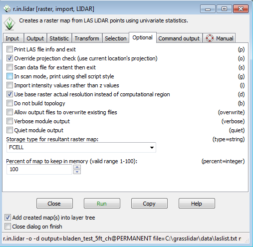
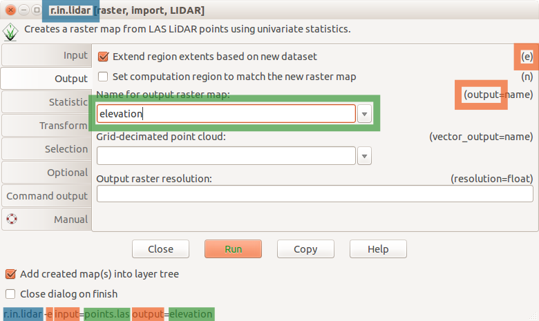 R in lidar dialog.png 780 × 465; 58 KB
-
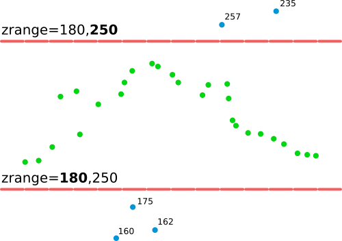 R in lidar explanation of zrange option.png 500 × 352; 14 KB
-
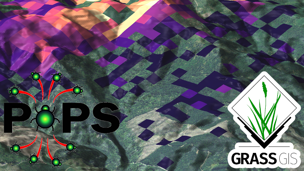 R pops spread 1024.png 1,024 × 576; 1.04 MB
-
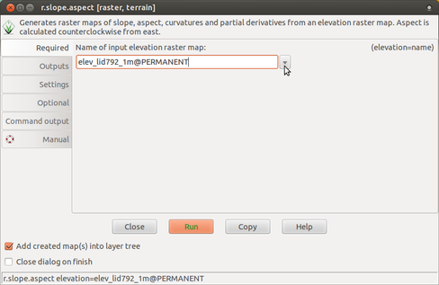 R slope aspect 1 required.png 488 × 317; 57 KB
-
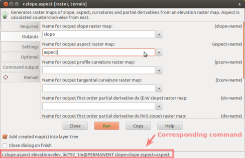 R slope aspect 2 outputs.png 488 × 316; 77 KB
-
 R slope aspect 3 manual.png 488 × 317; 130 KB
-
 R slope aspect 4 run.png 784 × 425; 211 KB
-
 R split line.gif 640 × 480; 971 KB
-
 R stats boxplot geo.png 599 × 356; 8 KB
-
 R stats elev.png 379 × 371; 16 KB
-
 Radim.jpg 102 × 99; 3 KB
-
 Raglan ortho seg.png 1,364 × 628; 1.42 MB
-
 Raleigh 2016 11 05.jpg 800 × 600; 118 KB
-
 Range on ground from north.png 800 × 477; 578 KB
-
 Rashadkm.png 486 × 504; 228 KB
-
 Raster3d example small data.png 866 × 961; 147 KB
-
 Raster grid seq.png 639 × 638; 13 KB
-
 Red hat raleigh.jpg 393 × 310; 43 KB
-
 Rlisetup first frame.png 572 × 147; 16 KB
-
 Rlisetup wizard first page.png 553 × 457; 32 KB
-
 Rlisetup wizard keybord sampling frame.png 553 × 457; 23 KB
-
 Rlisetup wizard sampling areas.png 564 × 379; 24 KB
-
 Room3208 jan30.jpg 640 × 409; 56 KB
-
 Routes.png 640 × 442; 5 KB
-
 Rstream gui.jpeg 1,052 × 744; 57 KB
-
 S52 colors bright.png 1,046 × 549; 68 KB
-
 SOD spread example.png 1,000 × 216; 535 KB
-
 Sample Categories bar.png 1,033 × 52; 7 KB
-
 Sample Navigation Toolbox InOther.png 158 × 625; 22 KB
-
 Sample Pointer over ToC.png 616 × 383; 39 KB
-
 Sample Semi Transparent ToC.png 616 × 382; 46 KB
-
 Sample of Content and ToC on the Right.png 1,069 × 557; 90 KB
-
 Sample screenshot while working on the custom css.jpg 1,680 × 1,050; 127 KB
-
 Sample screenshot while working on the custom css 2.jpg 1,680 × 1,050; 127 KB
-
 Scatter plot new layout.png 1,615 × 1,026; 204 KB


