File:Georectifier berlin.png
Jump to navigation
Jump to search
Size of this preview: 800 × 486 pixels. Other resolution: 1,280 × 777 pixels.
Original file (1,280 × 777 pixels, file size: 791 KB, MIME type: image/png)
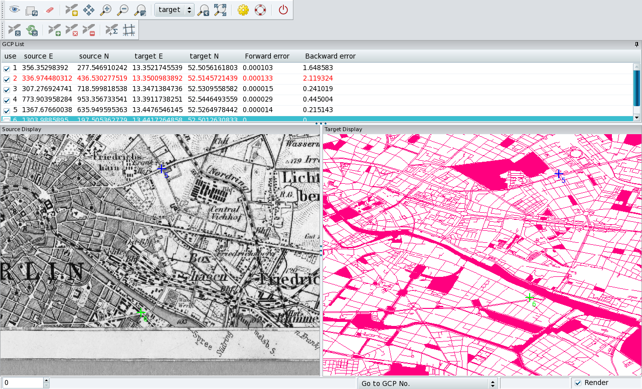
Georectifying of historical maps (example Berlin)
File history
Click on a date/time to view the file as it appeared at that time.
| Date/Time | Thumbnail | Dimensions | User | Comment | |
|---|---|---|---|---|---|
| current | 16:16, 8 March 2012 | | 1,280 × 777 (791 KB) | Neteler (talk | contribs) | Georectifying of historical maps (example Berlin) |
You cannot overwrite this file.
File usage
The following page uses this file: