File:Zurich.png
Jump to navigation
Jump to search
Size of this preview: 800 × 506 pixels. Other resolution: 1,157 × 732 pixels.
Original file (1,157 × 732 pixels, file size: 189 KB, MIME type: image/png)
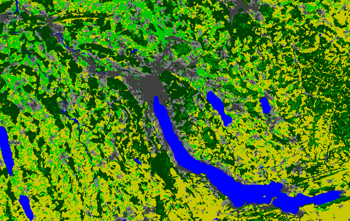
A capture of a land cover map generated using LANDSAT data, r.mapcalc and r.neighbors (to ease conversion into vector format) for Zürich, Switzerland, using GRASS 6.4.0.
File history
Click on a date/time to view the file as it appeared at that time.
| Date/Time | Thumbnail | Dimensions | User | Comment | |
|---|---|---|---|---|---|
| current | 23:00, 24 December 2010 | | 1,157 × 732 (189 KB) | ⚠️Jholden (talk | contribs) | A capture of a land cover map generated using LANDSAT data, r.mapcalc and r.neighbors (to ease conversion into vector format) for Zürich, Switzerland, using GRASS 6.4.0. |
You cannot overwrite this file.
File usage
The following page uses this file: