Uploads by ⚠️Landa
Jump to navigation
Jump to search
This special page shows all uploaded files.
| Date | Name | Thumbnail | Size | Description | Versions |
|---|---|---|---|---|---|
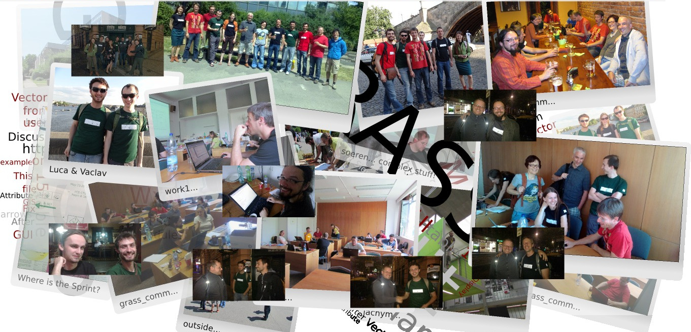
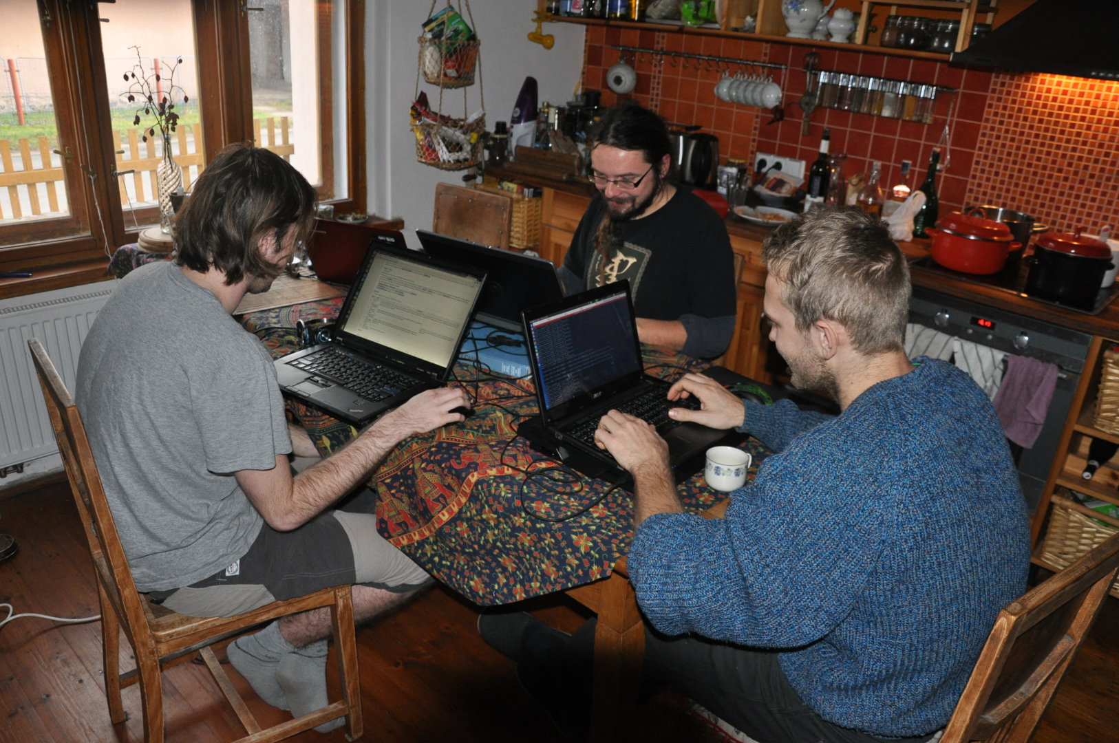
| 10:49, 11 March 2023 | Grass-sprint-prague.jpg (file) |  |
365 KB | 1 | |
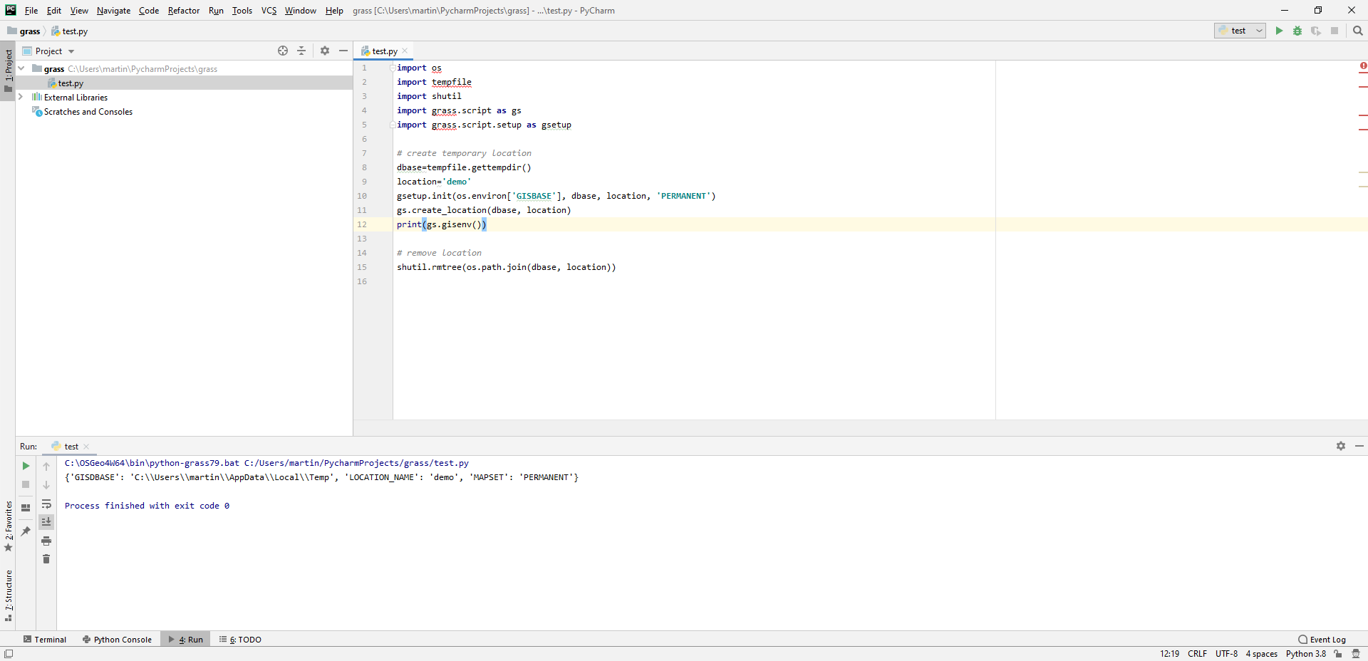
| 17:30, 21 March 2020 | Pycharm-launch-script.png (file) |  |
61 KB | 1 | |
| 17:30, 21 March 2020 | Pycharm-launch-dialog.png (file) |  |
10 KB | 1 | |
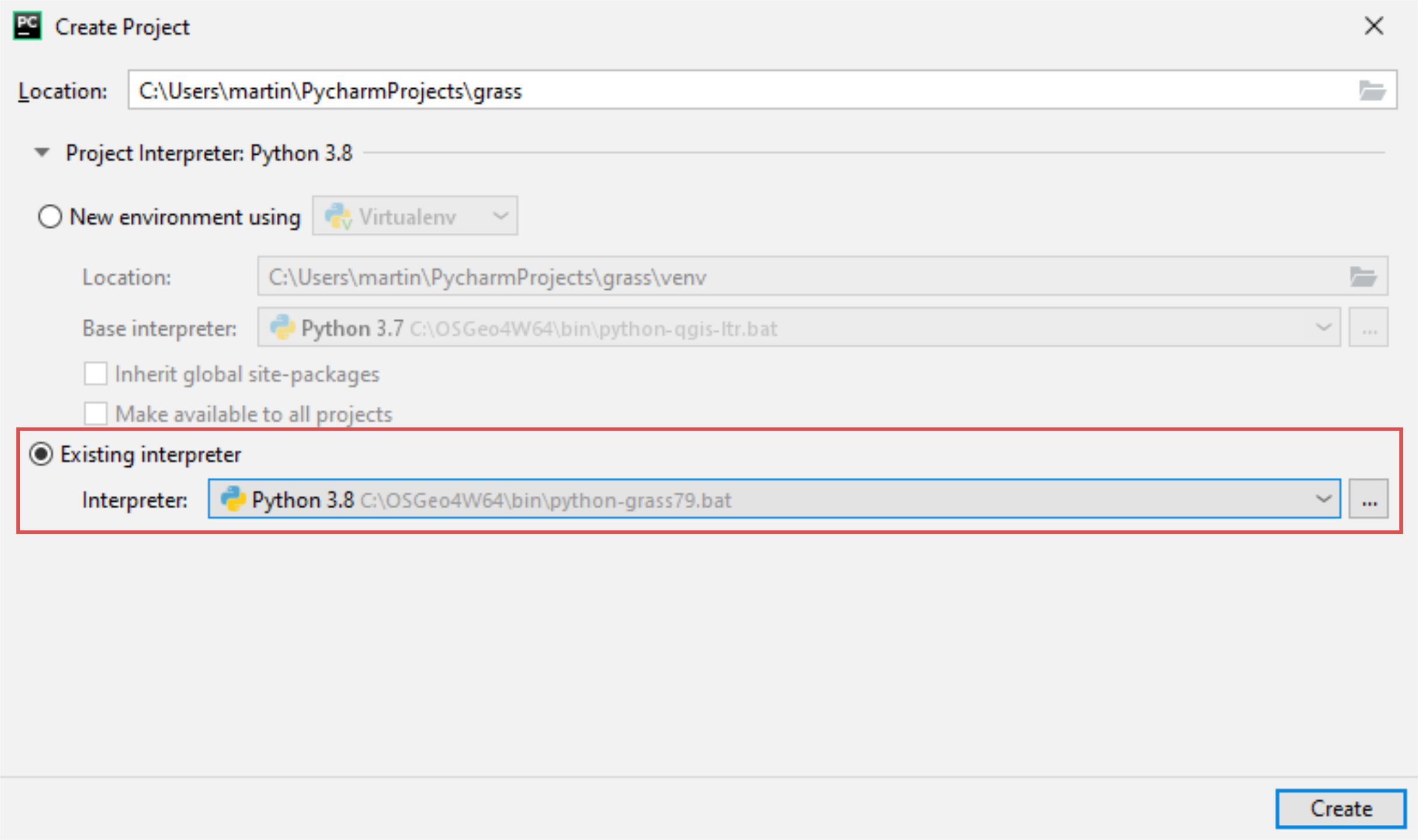
| 17:22, 21 March 2020 | Pycharm-create-new-project-2.png (file) |  |
289 KB | 1 | |
| 17:21, 21 March 2020 | Pycharm-create-new-project-1.png (file) |  |
170 KB | 1 | |
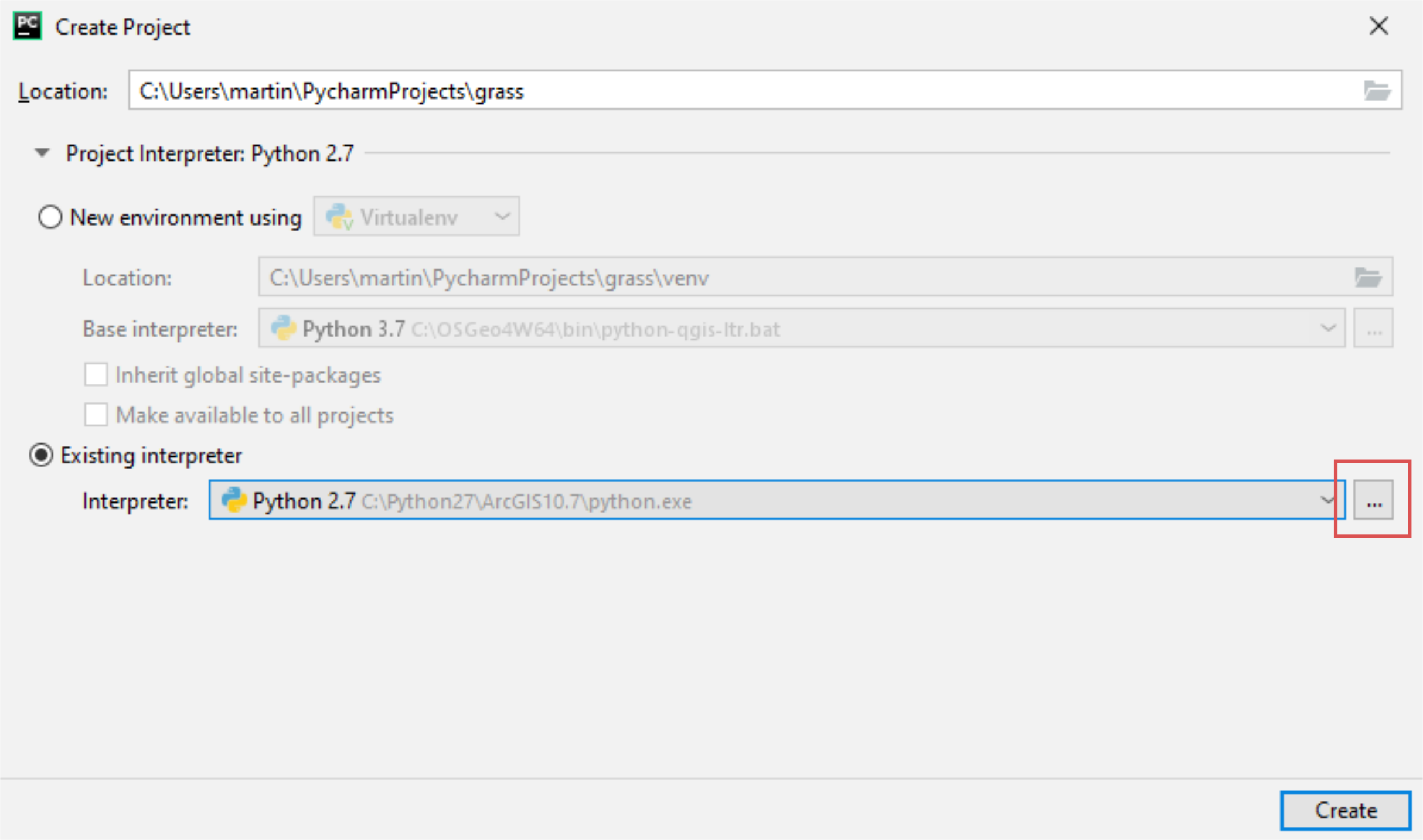
| 17:19, 21 March 2020 | Pycharm-create-new-project-0.png (file) |  |
284 KB | 1 | |
| 09:29, 9 December 2019 | Wxgui-startup-screen-discussion-prague.jpg (file) |  |
347 KB | wxGUI startup screen discussion | 1 |
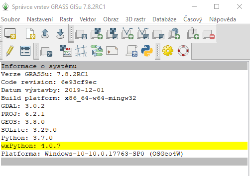
| 16:08, 3 December 2019 | Osgeo4w-wxpython-4.0.7.png (file) |  |
36 KB | wxpython osgeo4w package updated to 4.0.7 | 1 |
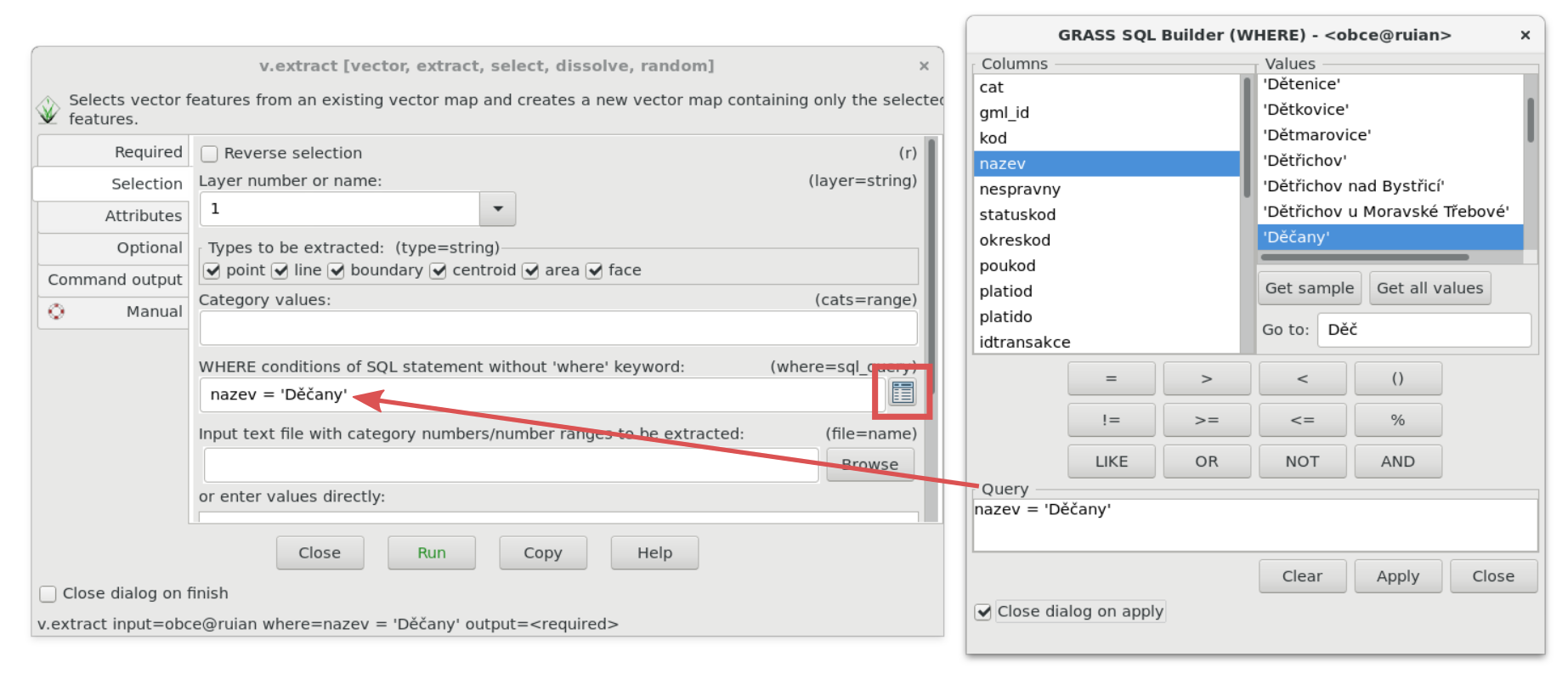
| 11:47, 24 March 2018 | Wxgui-sqlwhere-select.png (file) |  |
289 KB | 1 | |
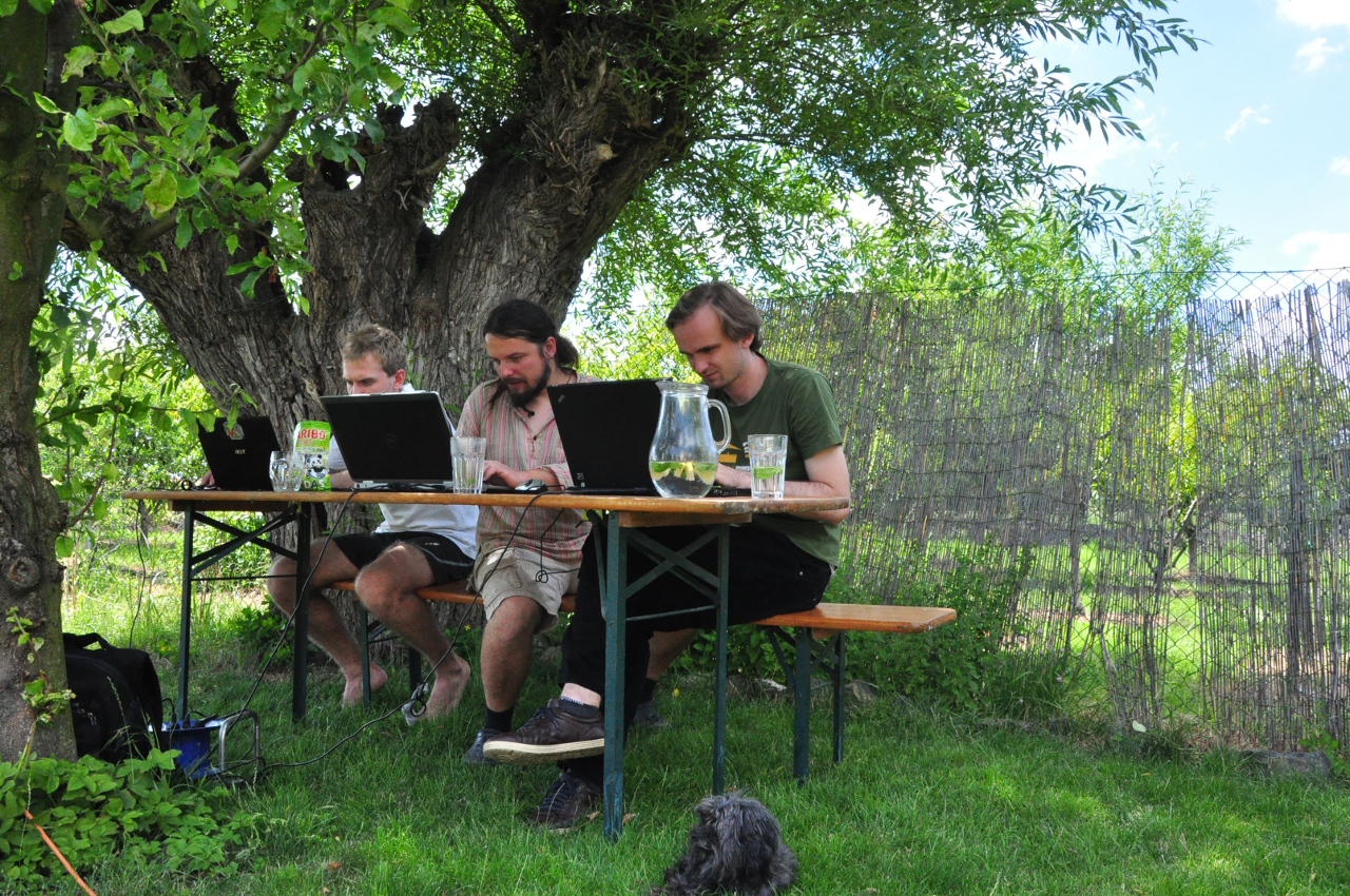
| 11:06, 15 February 2016 | Solany 0059.jpg (file) |  |
965 KB | 1 | |
| 11:06, 15 February 2016 | Solany 0026.jpg (file) |  |
805 KB | 1 | |
| 11:05, 15 February 2016 | Solany 0015.jpg (file) |  |
1.3 MB | 1 | |
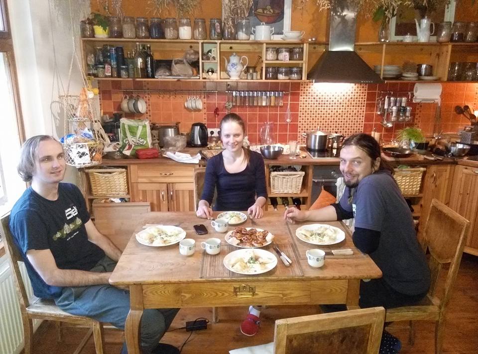
| 18:26, 21 December 2015 | Solany dec 2015 1.jpg (file) |  |
115 KB | GRASS&pirozky Hackfest Solany December 2015 | 1 |
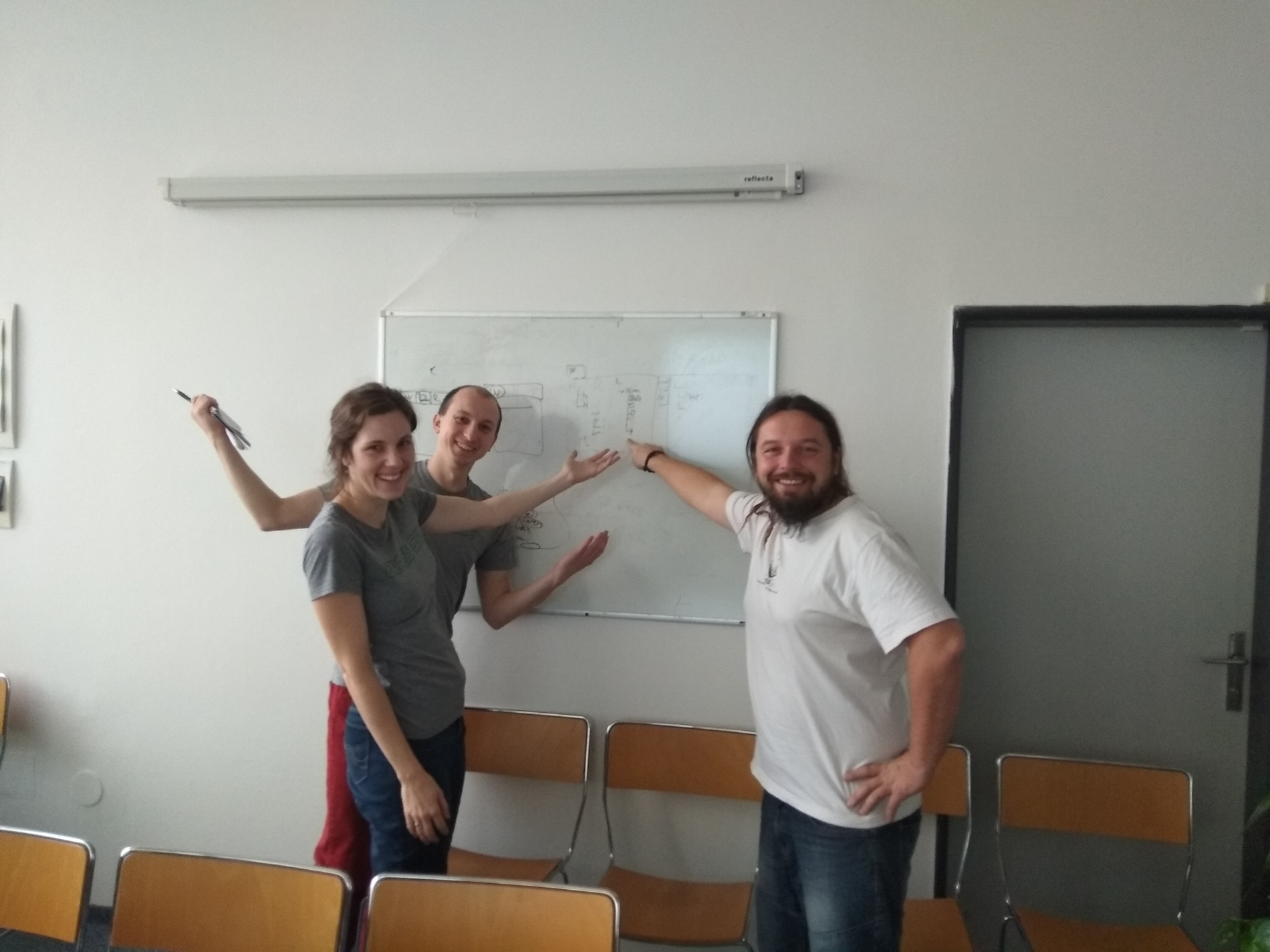
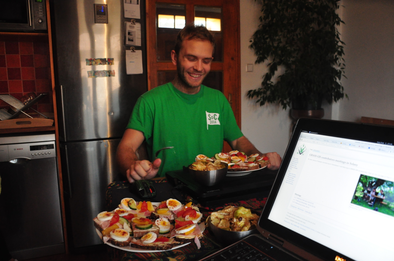
| 18:12, 21 December 2015 | Hackfest solany 2014.jpg (file) |  |
825 KB | Martin, Stepan, Matej and Gulliver working on GRASS GIS in the summer 2014 | 1 |
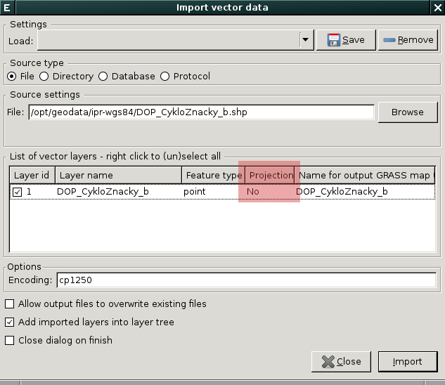
| 10:47, 21 July 2015 | V-import-2.png (file) |  |
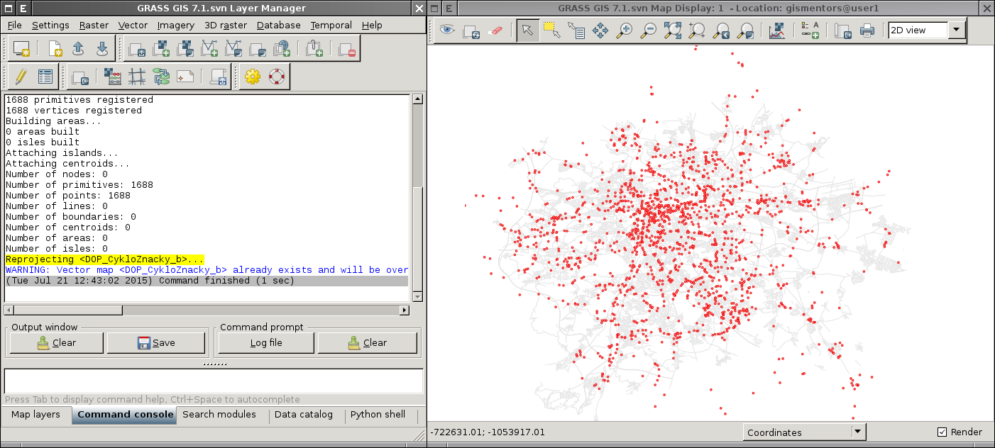
284 KB | Import and reproject vector data on the fly (check result) | 1 |
| 10:46, 21 July 2015 | V-import-1.png (file) |  |
34 KB | Import and reproject vector data on the fly | 1 |
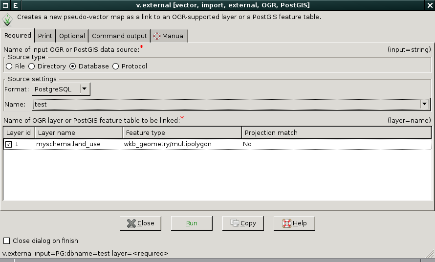
| 15:16, 19 July 2015 | V-external-gdalselect.png (file) |  |
41 KB | Interactive v.external dialog | 1 |
| 19:36, 1 February 2014 | Iclass scatter plot.png (file) |  |
967 KB | 3 | |
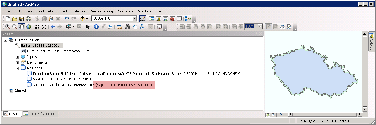
| 14:39, 19 December 2013 | Arcgis-buffer-negative-distance.png (file) |  |
52 KB | Vector buffer with negative distance (ArcGIS) | 1 |
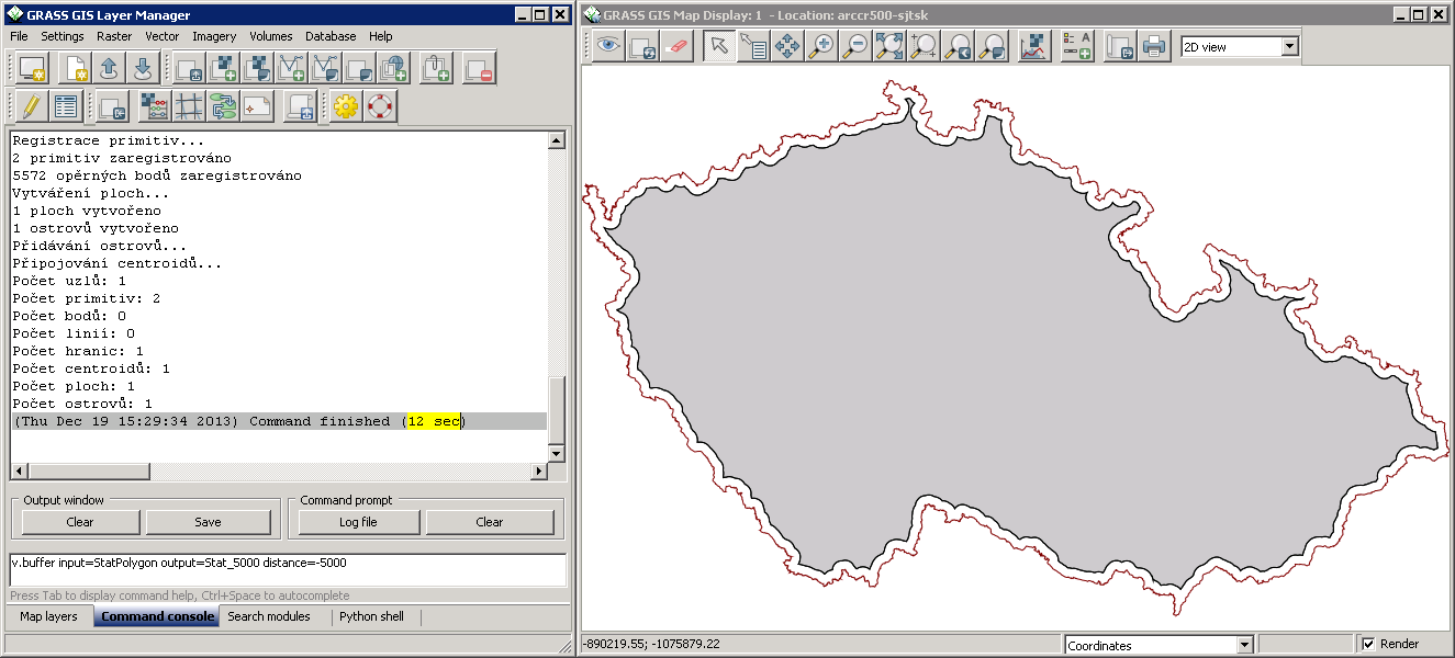
| 14:34, 19 December 2013 | Buffer-negative-distance.png (file) |  |
83 KB | Vector buffer with negative distance | 1 |
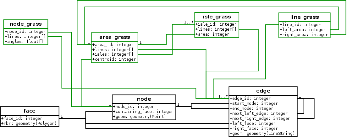
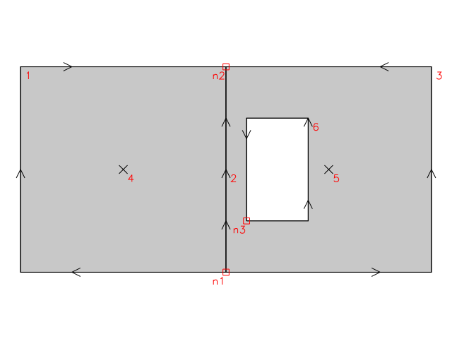
| 11:52, 3 December 2013 | Topo-geo-grass.png (file) |  |
36 KB | 2 | |
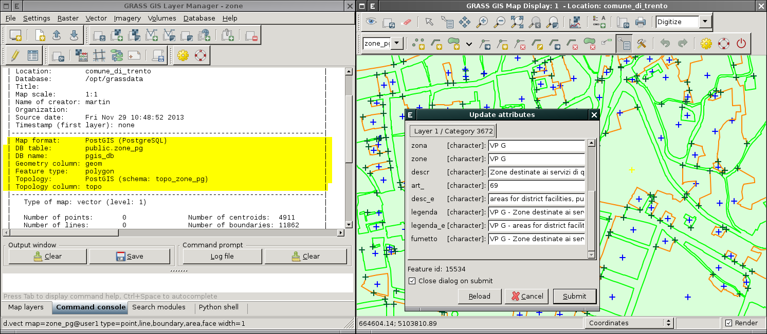
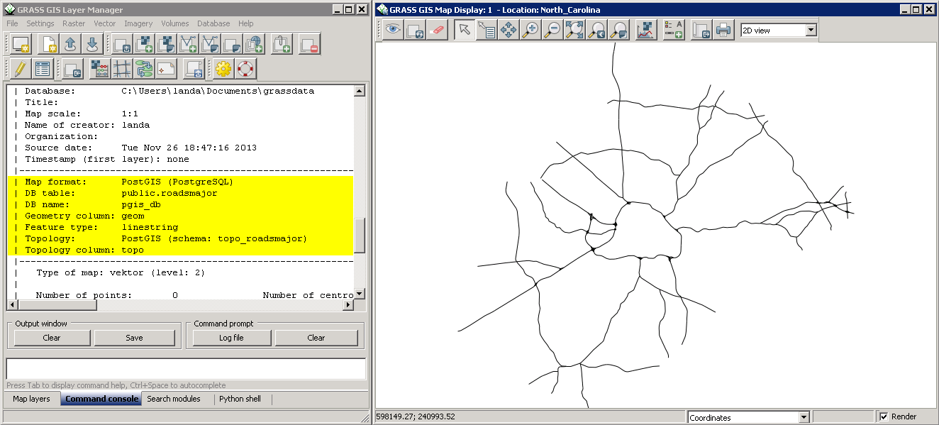
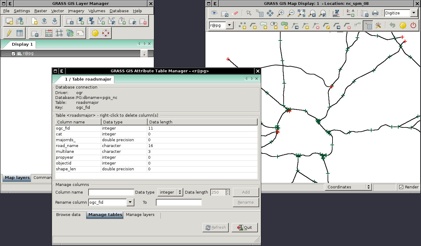
| 10:01, 29 November 2013 | Wxgui-digit-postgis-topo.png (file) |  |
218 KB | Editing PostGIS Topology data directly in wxGUI {{wxGUI}} | 1 |
| 17:56, 26 November 2013 | Wxgui-postgis-topology-win.png (file) |  |
67 KB | 1 | |
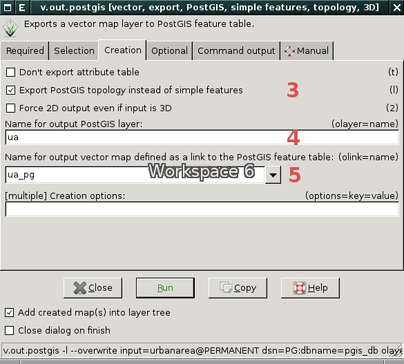
| 18:27, 16 November 2013 | Wxgui-v.out.postgis-2.png (file) |  |
50 KB | GUI dialog of v.out.postgis module (other parameters) {{wxGUI}} | 1 |
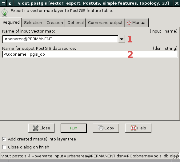
| 18:27, 16 November 2013 | Wxgui-v.out.postgis-1.png (file) |  |
38 KB | GUI dialog of v.out.postgis module (required parameters) {{wxGUI}} | 1 |
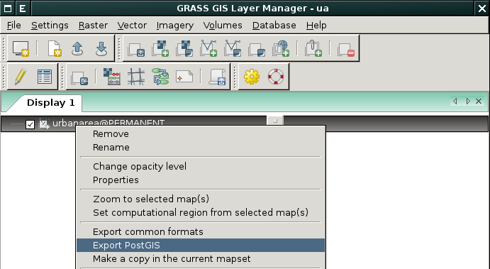
| 18:25, 16 November 2013 | Wxgui-v.out.postgis-0.png (file) |  |
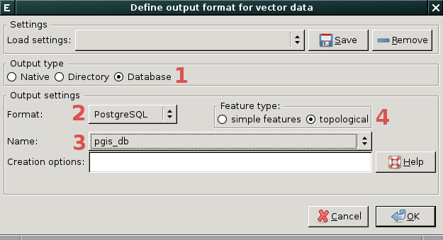
35 KB | Exporting vector map layer into PostGIS Topology {{wxGUI}} | 1 |
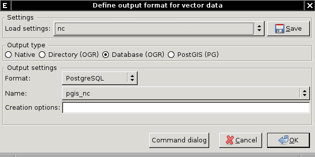
| 22:58, 15 November 2013 | Wxgui-v.external.out-pg-1.png (file) |  |
27 KB | Set external vector format from wxGUI {{wxGUI}} | 1 |
| 22:53, 15 November 2013 | Wxgui-v.external.out-pg-0.png (file) |  |
28 KB | Set external vector format from wxGUI {{wxGUI}} | 1 |
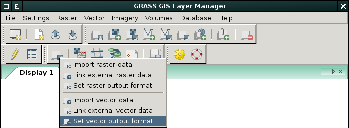
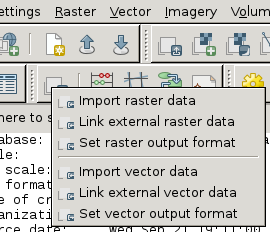
| 22:47, 15 November 2013 | Layer-import.png (file) |  |
362 bytes | 1 | |
| 19:14, 13 June 2013 | Mlanda.png (file) |  |
311 KB | 2 | |
| 10:23, 1 May 2013 | Pyramid 3d.png (file) |  |
4 KB | Pyramid generated by m.nviz.image | 1 |
| 15:34, 15 April 2013 | Topo example.png (file) |  |
8 KB | 1 | |
| 14:51, 22 March 2013 | Modeler-main.png (file) |  |
1 KB | 1 | |
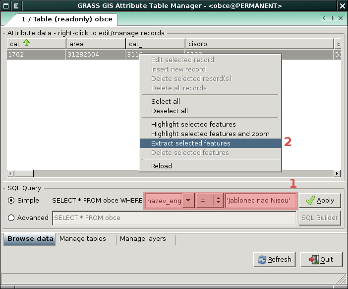
| 10:52, 8 December 2012 | Wxgui-dbmgr-extract.png (file) |  |
52 KB | 1 | |
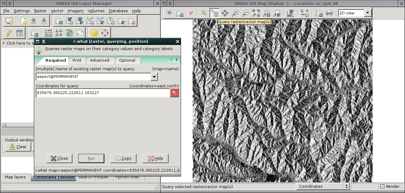
| 09:53, 27 November 2012 | Wxgui-r-what-grass7.png (file) |  |
776 KB | wxGUI: Query raster map (using built function or directly using r.what) {{wxGUI}} | 1 |
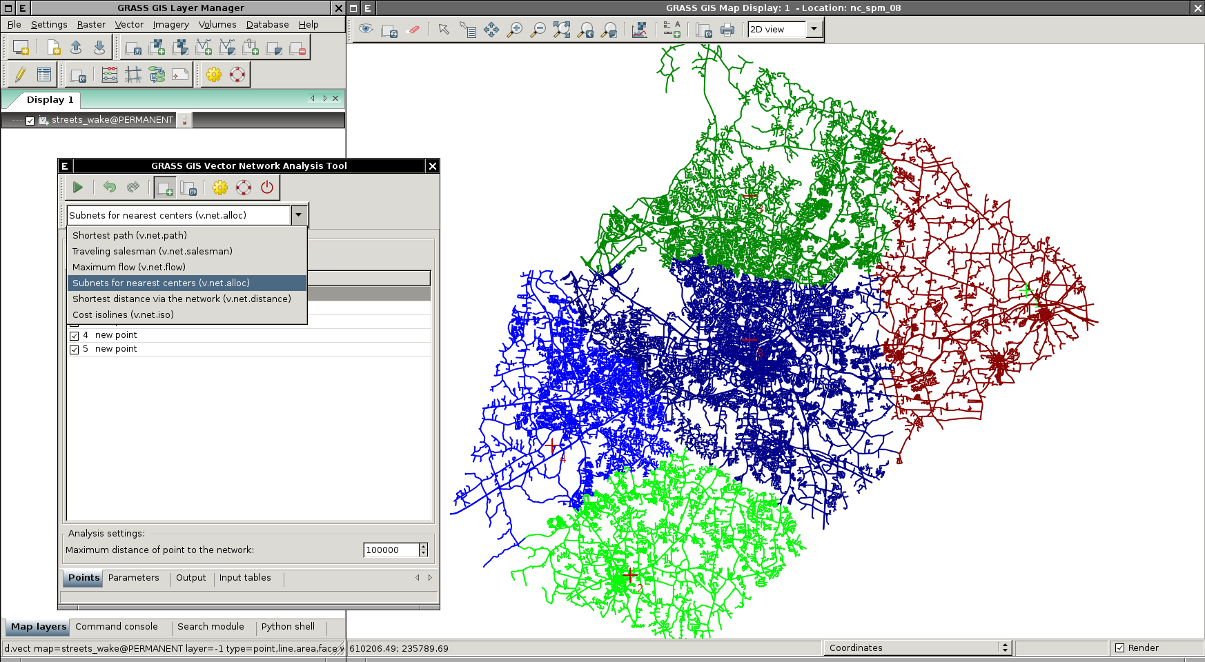
| 20:53, 20 October 2012 | Wxgui-vnet-alloc.png (file) |  |
799 KB | Subsets for nearest centers (v.net.alloc) {{wxGUI}} | 1 |
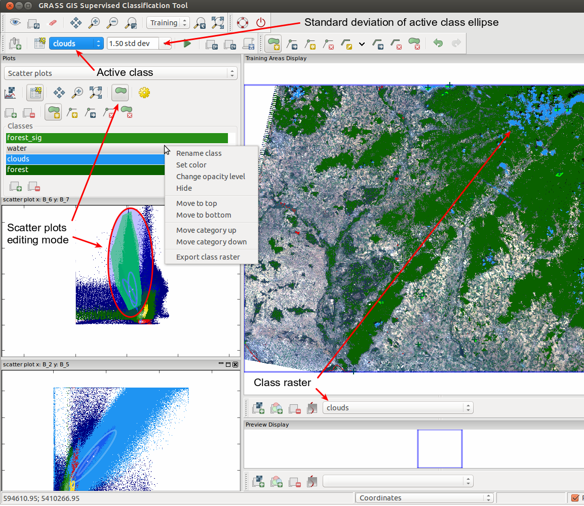
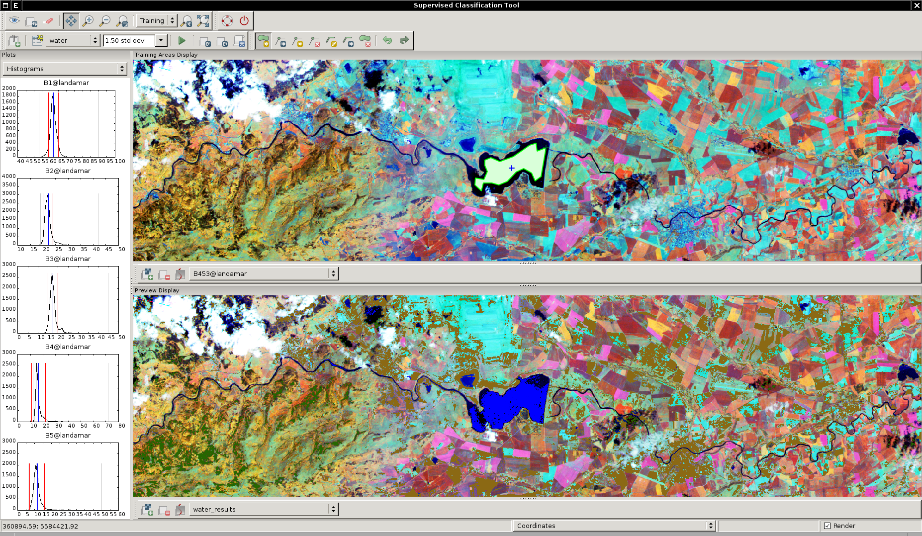
| 20:15, 20 October 2012 | WxIClass.png (file) |  |
1.85 MB | wxGUI Supervised Classification Tool in action {{wxGUI}} | 1 |
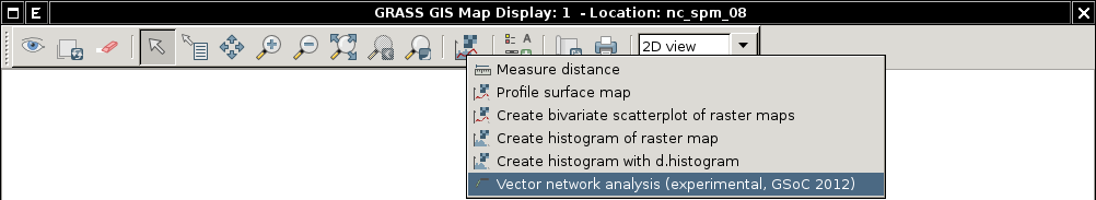
| 09:28, 7 July 2012 | Wxgui-vnet-testing.png (file) | 23 KB | Launch 'Vector network analysis' tool from Map Display Window toolbar {{wxGUI}} | 1 | |
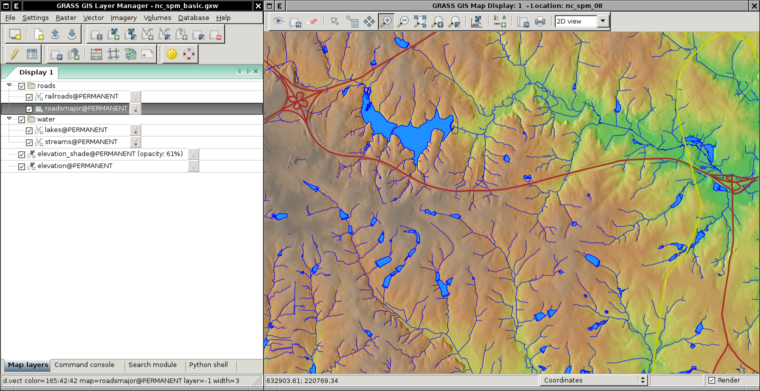
| 10:50, 6 July 2012 | Wxgui-nc-spm-example.png (file) |  |
943 KB | Displaying data from North Carolina dataset {{wxGUI}} | 1 |
| 15:25, 23 May 2012 | Community sprint prague2012.png (file) |  |
139 KB | 1 | |
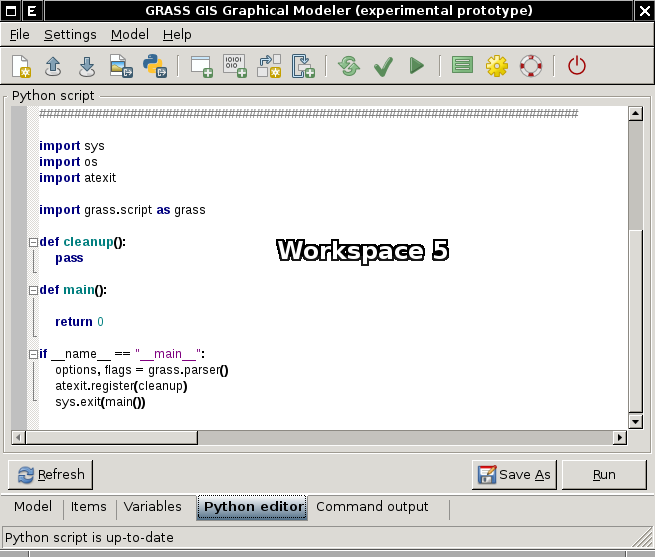
| 11:36, 29 April 2012 | WxGUI-modeler-python-editor.png (file) |  |
40 KB | 1 | |
| 21:49, 21 March 2012 | Wxgui-v.external.out.png (file) |  |
19 KB | 1 | |
| 21:46, 21 March 2012 | Wxgui-v.external.png (file) |  |
48 KB | 1 | |
| 19:23, 30 September 2011 | Print-compose.png (file) |  |
485 bytes | {{wxGUI}} | 1 |
| 11:15, 28 September 2011 | Wxgui-vdigit-edit-1.png (file) |  |
30 KB | wxGUI vector digitizer - editing linear feature finished {{wxGUI}} | 1 |
| 11:15, 28 September 2011 | Wxgui-vdigit-edit-0.png (file) |  |
25 KB | wxGUI vector digitizer - select vertex, start editing {{wxGUI}} | 1 |
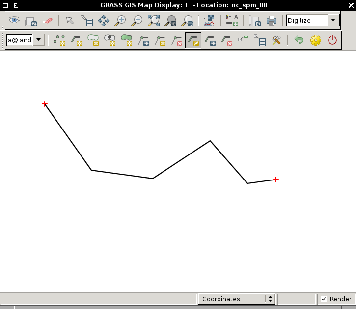
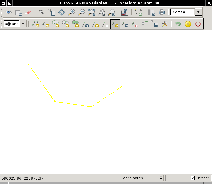
| 11:13, 28 September 2011 | Line-edit.png (file) |  |
775 bytes | {{wxGUI}} | 1 |
| 17:24, 21 September 2011 | Wxgui-link-tool.png (file) |  |
17 KB | Link external data - Layer Manager toolbar (2) {{wxGUI}} | 1 |
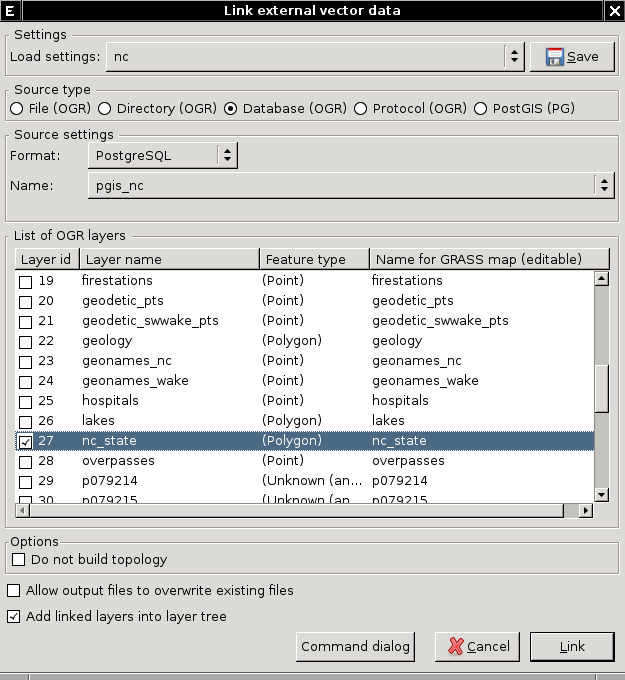
| 08:32, 27 August 2011 | Wxgui-digitize-postgis.png (file) |  |
102 KB | Example of digitizing PostGIS layer (linked via v.external in wxGUI {{wxGUI}} | 1 |
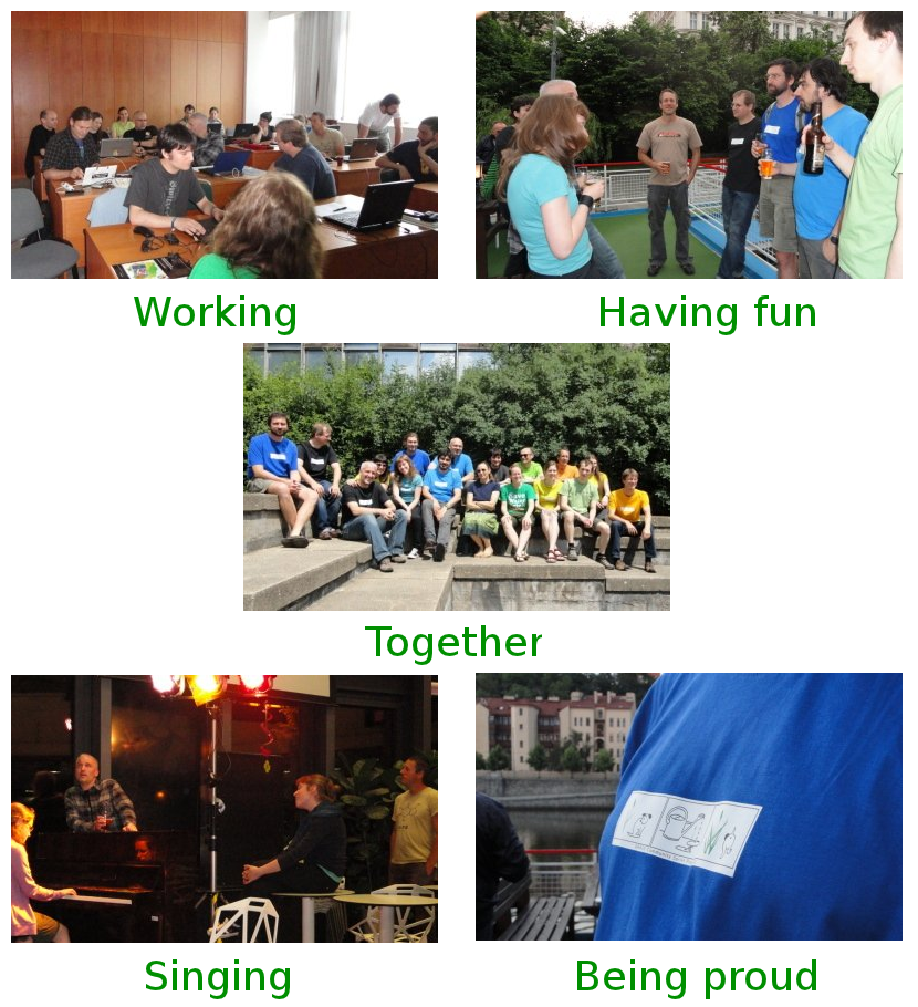
| 18:09, 2 June 2011 | Community-sprint5.png (file) |  |
869 KB | GRASS Community Sprint in Prague Promo composition | 1 |